Menu

Arête pas claire

Bastion de Cadiol · Caroux · France

Bail not documented

A short, homogeneous gneiss arête of about 5b on the Bastion de Cadiol, reached through the woods from the Caroux plateau. Slabs and steps on the ridge with fine views from the top. The last two pitches are short and usually linked.

Climbing mode: Big type, screen kept awake, tick pitches as you go.

Pitch 1 of Arête pas claire on the Bastion de Cadiol, CarouxPhoto: pat26 · CC BY-NC-ND 3.0
Hardest pitch
5c5c
Pitches
4
Length
100 m
Approach
45 min
Aspect
SW
South-west-facing
Rope
Single rope
walk-off; length not stated

Highest point 970 m above sea level (camptocamp route 1858657).

Rock
gneiss
Season
Mar to May, Oct to Nov
Bolting confidence
Medium
Last verified
October 2026 · Aggregated by AI from published sources

Photo

Climbing modeBig type, screen kept awake, tick pitches as you go.

Overview

Arête pas claire is a four-pitch, roughly 100 m gneiss route on the Bastion de Cadiol, the first route you reach when coming down the Cadiol ravine from the plateau. It follows slabs and the south-west arête at a consistent 5b to 5c, with two-bolt belays throughout. It is a pleasant beginner's multipitch with a walk-off, but the only documentation is a single camptocamp page and two outings in November 2025 (one a club outing), all from the same contributor.

Worth knowing

  • Pitches 3 and 4 are usually linked, so the climb takes three rope lengths.
  • Combine with the plateau walk for a full day; the Bastion has many other routes, some with old pegs.

Pitch by pitch

The atlas doesn't show topos: they are the work of the people who bolt and document these routes. See the topo in Le Caroux escalades.

Pitches of Arête pas claire
PitchGradeLengthNotes
P15b25 mSlab start to a two-bolt belay on a platform.
P25b+25 mGo left onto the west face and the arête to a two-bolt belay with a ring.
P35c30 mSlab trending left with a small overhang to a two-bolt belay. Easily linked with pitch 4.
P45b+15 mStraight up above the belay over two steep steps to the summit belay (two bolts).

Approach

To the parking

Drive to the Col des Avels car park above the Orb valley and walk down the lane to the gîte at Lafage. A longer approach from below starts in the village of Colombières-sur-Orb.

On foot · about 45 min

About 45 min from Lafage, arriving from above. At the entrance to Lafage take the GR westwards; after a steep climb it reaches the Caroux plateau. At the Signal du Bastion (a large cairn of stone slabs) leave the GR on a red-marked path heading south. Where it enters the forest, at an unobvious junction, leave the red marks for old yellow ones on the left, which lead into the Cadiol ravine. Go down the ravine (slippery at first with wet leaves); the Bastion rises on your left. The route is the first one you reach going down, with its name written on a stone and bolts visible. From below, Colombières to the Bastion is about 1h10 via the Gorges de Colombières path.

Map of the walk-in

Point from camptocamp waypoint 42472 (Bastion de Cadiol)

For your phone or watch

Download GPX

Contains the route point and parking.

Points from published sources, not surveyed.

Descent

From the top, a path on the left (west) leads easily back into the Cadiol ravine. Then return to Lafage and the Col des Avels the way you came, or down to Colombières.

Bailing off the route

Bail not documented

Retreat is not documented. The belays are two bolts (one with a ring) and the pitches are 15 to 30 m, so abseiling from them on a single rope looks feasible, but no source describes it. The normal way off is a short walk from the top.

Retreat from
Any belay, leaving your own maillon or cord (inferred).
Point of no return
None documented.
Carry
A maillon or cord per abseil; a single rope of at least 60 m would cover the 30 m pitch (inferred).
Basis
Inferred from the route factsThe only source states two-bolt belays and pitch lengths but says nothing about abseiling.

France

In an emergency

In an emergency · France

112Emergency; sends PGHM or CRS mountain rescue

Call 112

Emergency; sends PGHM or CRS mountain rescue

Position of the crag

43.59509, 3.00107

Marks the crag, not the route: give route and pitch.

Say what happened, how many are hurt, and where you are. Checked October 2026 (source).

Hazards

  • Exposed to the cold north-west wind.
  • The ravine path is slippery with wet leaves.
  • Several routes start nearby on the Bastion, some with old pegs; a 2025 party set off on the wrong line. The start of this route is marked by its name on a stone.

Gear

Quickdraws; the route is described as very well equipped. No number of quickdraws or rope length is given; a single rope is enough for the walk-off.

Checklist

Quickdraws
Not given
Rope
Single rope (walk-off; length not stated)
Helmet
One each
Maillons or spare karabiners
To leave behind if you retreat
Cord
Mentioned for retreat

Conditions

Reader reports

No reports yet.

Report a problem with this route

Say what and where. Reports are checked before they appear; no name or email is stored.

Bolts and history

Bolting
Bolted with expansion bolts and hangers, with two-bolt belays (the second has a ring). The only description calls it very well equipped. When it was bolted is not stated.
History
Not documented.
Guidebook
Not known. Not found in the online sources for the Caroux topo. Buy from kletterfuehrer.net.

Where sources disagree

  • Length: camptocamp gives 100 m; the pitch lengths add up to 95 m.
  • Pitch count: four bolted belays, but parties usually link the last two pitches.

Sources

Around 5c · about 4 pitches

Similar elsewhere

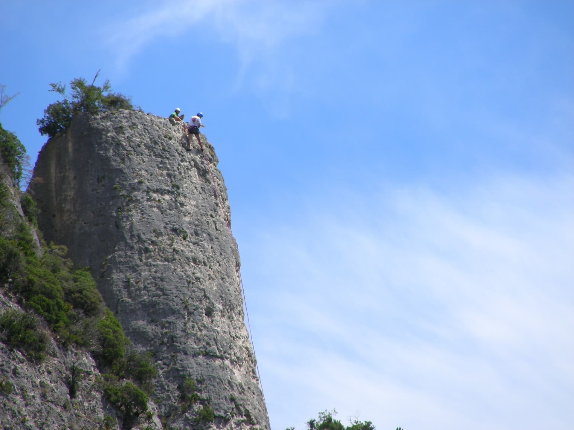
Climbers on the flat summit of the Bitard pillar, Gorges de la Jonte

France · Gorges de la Jonte

Le Bitard

The pillar that gives the sector its name, climbed in four short pitches on grey, well-featured rock. The third pitch is a sustained vertical crack and the best of the route. It is the usual first multipitch for visitors because the bolts are closer than elsewhere in the gorge.

5c5c4 pitches100 m

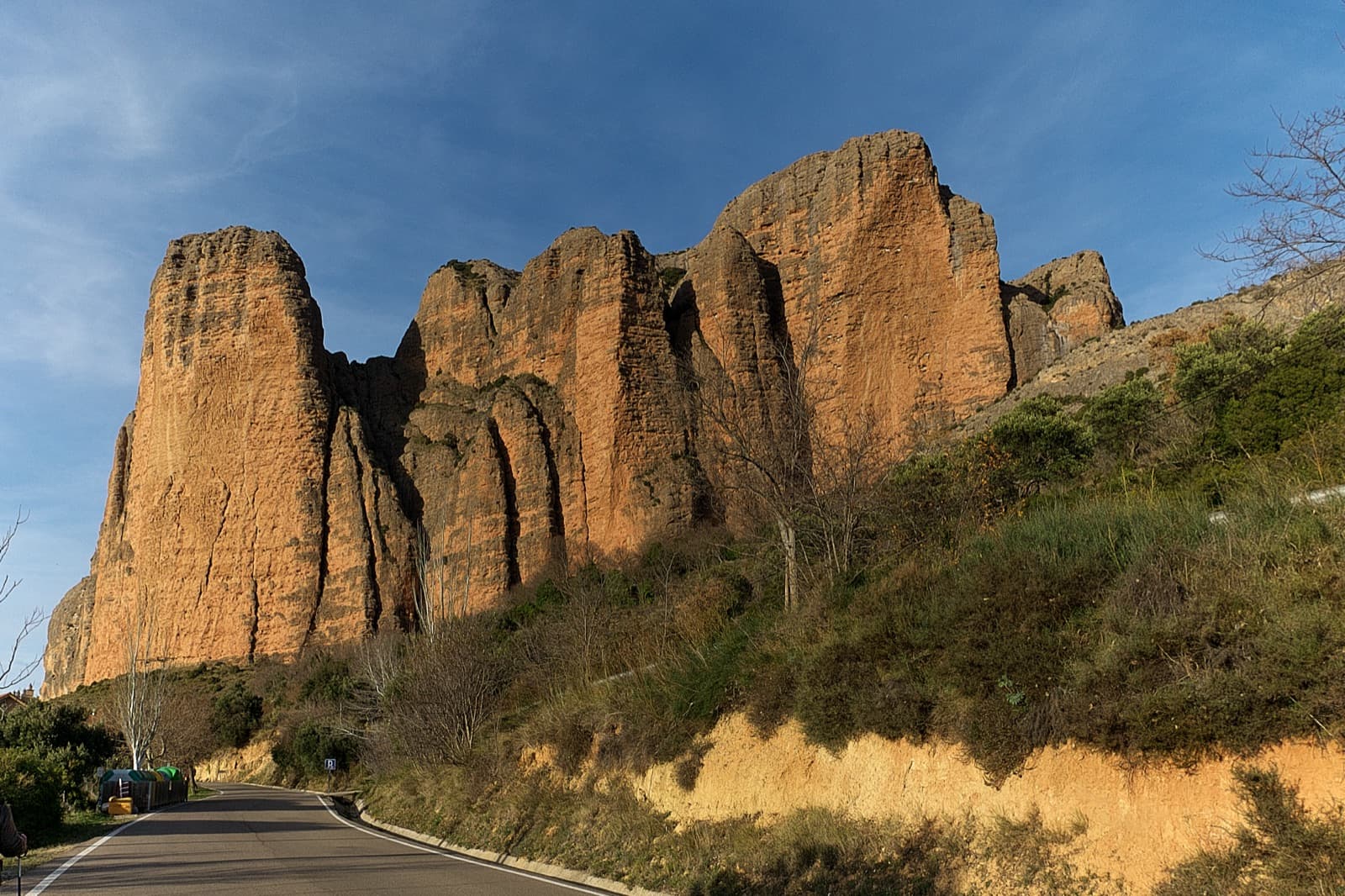
The main Riglos wall in low sun from the road into the village, from Mallo Pisón on the left to La Visera on the right; Mallo Colorado is a smaller mallo at the foot of the right-hand end and is not clearly identifiable here.

Spain · Riglos & Agüero (Mallos)

Anorexia

The best-known route on the Mallo Colorado. Two steep, juggy panza pitches have a well-protected boulder move, giving a short taste of real Riglos steepness at a friendly grade.

5c5c4 pitches150 m

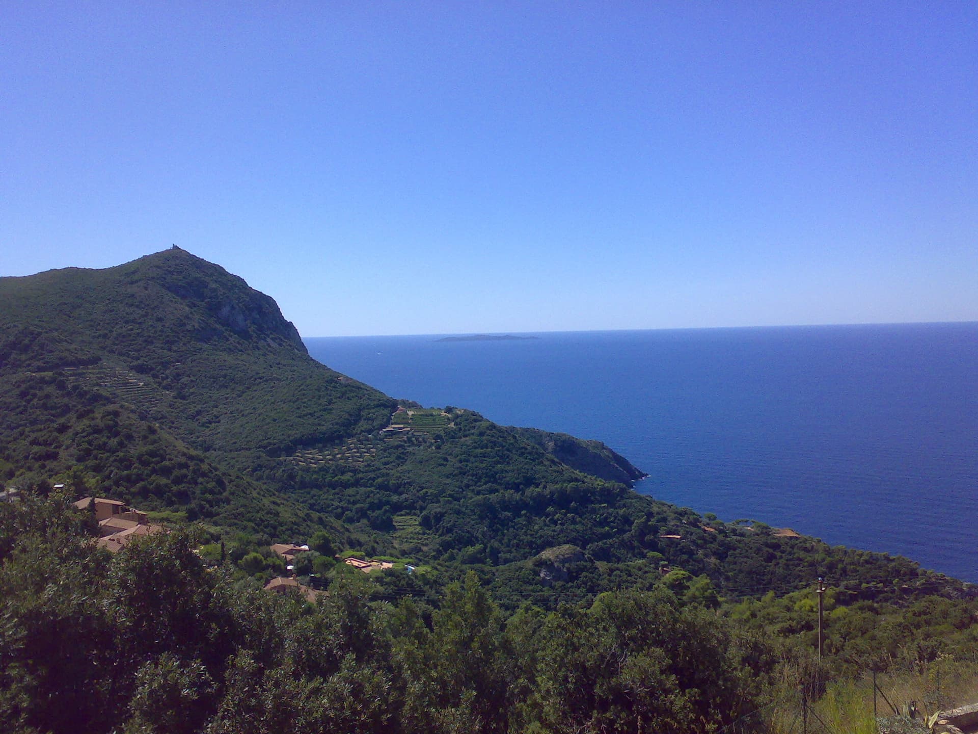
The headland of Capo d'Uomo on Monte Argentario with its watchtower on top, and the island of Giannutri on the horizon. The multipitch wall drops towards the sea below the tower; the routes are not visible in this view.

Italy · Monte Argentario

Maria Mare

Four pitches on the sea-facing wall of Capo d'Uomo: a featured slab, an easy linking pitch, and two vertical, athletic pitches on sculpted grey limestone to the crest below the old watchtower. The final wall is the highlight. The lower pitches need care with holds.

5c5c4 pitches110 m

Read the cautions

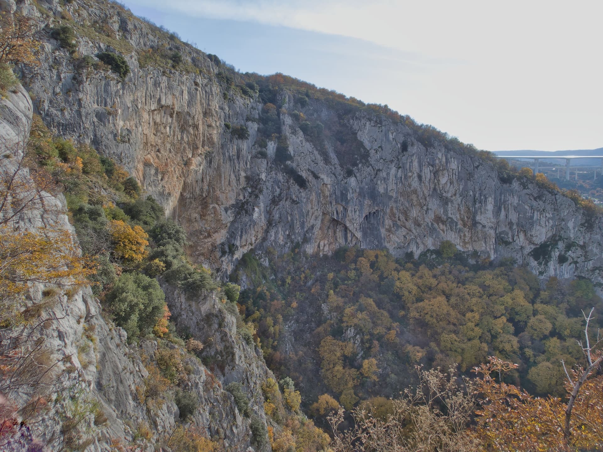
The Velika stena, the big wall of the Osp collapse doline, seen along its length from the rim in autumn; Medo is on the right side of this wall.

Slovenia · Osp

Medo

The easiest line on Osp's famous overhanging Big Wall, following an obvious right-slanting ramp, the only non-overhanging part of the face. It is in shade until about 11:30 in July.

5c5c4 pitches110 m

Read the cautions

Researched and aggregated by AI from published sources, last compiled October 2026. It can be wrong, and bolts, anchors and access change: check a current guidebook and read the disclaimer.