Multipitch Atlas

Wadlziaga

Schlössel (Hochplatte), above the Kenzenhütte · Ammergauer Alpen · Germany

Read the cautionsEasy to bailBolting confidence: medium

A short, easy alpine route of UIAA 4+ on the Schlössel above the Kenzenhütte: a water runnel, a corner and slabs, then a compact pillar to finish. Bolted where it matters but not closely. Pitch 3 has some unreliable rock and grass.

Hardest pitch
4c
Pitches
4
Length
140 m
Approach
60 min
Aspect
NE
North-east-facing
Rope
1×70 m
Read before you go

Fully bolted with rigged abseil belays, but not closely bolted, with some poor rock on pitch 3 and only one source.

The route

Overview

Wadlziaga is a four-pitch route of UIAA 4+ (about 4c) on the north-east side of the Schlössel, a rock outlier of the Hochplatte in the Ammergau Alps. It climbs slabs and corners in the lower part and finishes up a compact pillar. The rock is mostly good and solid; the third pitch crosses some unreliable rock and grass cushions. It was first climbed solo in July 2022 and is documented only on bergsteigen.com, where the first ascensionist keeps the page up to date.

The climbing

Pitch by pitch

Pitches of Wadlziaga
PitchGradeNotes
P1–Start up a water runnel.
P2–A corner.
P3–Inclined slabs. Some unreliable rock and grass cushions to cross; this is the pitch that needs dry conditions.
P4–The compact pillar to the top. The last belay is hidden under dwarf pine: follow the natural line 2 m further and it is on the right.

Getting there

Approach

To the parking

Drive from Füssen or Steingaden to Halblech and park at the hikers' car park for the Kenzenhütte. A shuttle bus runs from there to the hut (see halblech.de). The hut road is a partly surfaced track that is good on a mountain bike, 1 to 1.5 h, quicker by e-bike. By public transport: train to Füssen, bus to Halblech, then the shuttle.

On foot · about 60 min

About 1 h from the Kenzenhütte (1300 m). Head towards the Hochplatte as far as the Scheinberghüttle (herdsman's hut), then traverse south across the alp meadow to below the cliffs of the Schlössel. Follow the foot of the wall, with no path, to the start at about 1560 m.

Map of the walk-in

  • Crag

Loading map

The point marks the crag, not the exact start of the route.

Coordinates · crag

47.55687, 10.85798

Point from bergsteigen.com touren/klettern/wadlziaga (marker labelled approximate)

For your phone or watch

Download GPX

Contains the route point. Opens in most mapping apps and GPS watches.

Points are compiled from published sources, with the precision stated above. They were not surveyed on the ground: check them against a current topo.

Getting down

Descent

Recommended: abseil the route. All belays are equipped for it; with a single rope 70 m is obligatory, or use 2×60 m half ropes. Alternative for those at home in dwarf pine: descend the south side through pine and slabs to the hiking trail to the Hochplatte and follow it back to the hut. About 1 h either way to the hut.

Retreat

Bailing off the route

Easy to bail

Abseiling the route is the recommended descent and every belay has two bolts and a maillon. You can retreat from any belay with a 70 m single rope or two half ropes.

Retreat from
Any belay.
Point of no return
None described.
Carry
1×70 m single rope (obligatory length) or 2×60 m half ropes.
Basis
Stated in the sourcesbergsteigen.com states that all belays are set up for abseiling and gives the rope lengths.

Safety

Hazards

  • Bolted at the necessary places but not at plaisir spacing: expect to climb above the bolts on easy ground.
  • Pitch 3 has partly unreliable rock and grass cushions.
  • The last belay is hard to spot under the dwarf pine.

Sun and weather

Conditions

North to north-east facing, base about 1560 m. Season May to October. Go in dry conditions because of the grass on pitch 3.

Usual season · May to Oct

Sun on the wall · NE-facing

Working out the sunlit hours for this month.

  • January: not yet worked out
  • February: not yet worked out
  • March: not yet worked out
  • April: not yet worked out
  • May (usual season): not yet worked out
  • June (usual season): not yet worked out
  • July (usual season): not yet worked out
  • August (usual season): not yet worked out
  • September (usual season): not yet worked out
  • October (usual season): not yet worked out
  • November: not yet worked out
  • December: not yet worked out

Sun on the wallDaylight, wall in shade● Usual season

Estimated from the wall's aspect only. Ignores surrounding terrain, gullies and the wall's exact shape. Clock times are local to the wall (Central European time), for the 15th of each month.

Climate figures for Ammergauer Alpen are not available yet

What to carry

Gear

8 quickdraws and a helmet. To abseil, 1×70 m single rope or 2×60 m half ropes. bergsteigen.com lists no nuts and no cams.

Checklist

Quickdraws
8
Rope
1×70 m
Helmet
One each
Abseil device and prusik
The descent or the retreat involves abseiling

Derived from the route data; check it against a current topo

From climbers

Reader reports

Reader reports are not being collected yet. Until they are, check a current topo and the local club or guidebook publisher for recent changes to Wadlziaga.

Worth knowing

Tips

  • Allow about 2 h for the climb and 4 h hut to hut.
  • A bike to the Kenzenhütte frees you from the shuttle timetable.

Open questions

Where sources disagree

  • Single source: a web search found no independent report of the route.
  • The pitch count (4) is taken from the photo captions (pitches 1 to 4, then the top belay); the topo is behind a login.

Provenance

Sources

Around 4c · about 4 pitches

Similar elsewhere

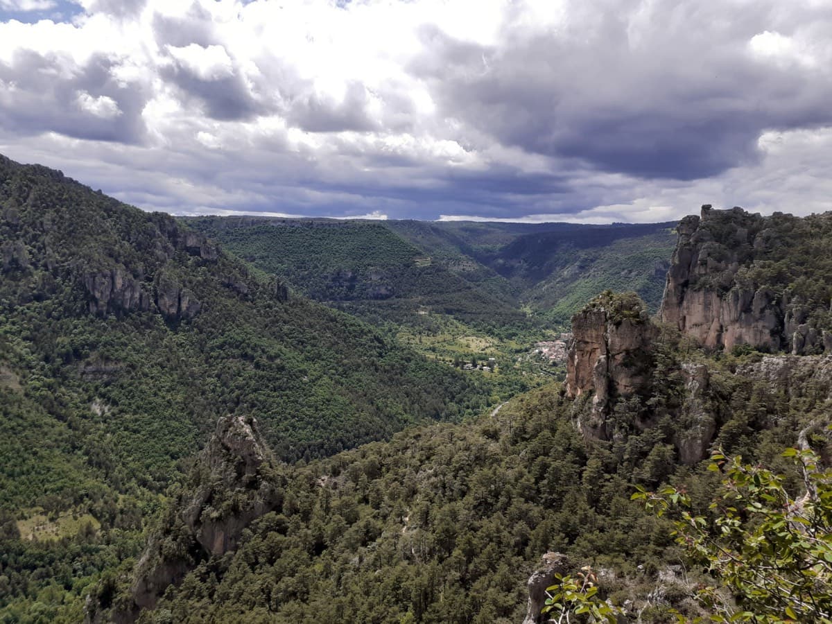
Looking down the Jonte gorge towards Le Rozier from the Ravin des Échos, photographed from Zébulon

France · Gorges de la Jonte

Zébulon

Probably the most approachable multipitch in the Jonte: four pitches of grade 3 and 4 on excellent, juggy rock up the right side of a pillar, with solid chained belays where leader and second stay in sight. Vultures circle past by late morning. The walk-off needs a little care.

4c4 pitches100 m
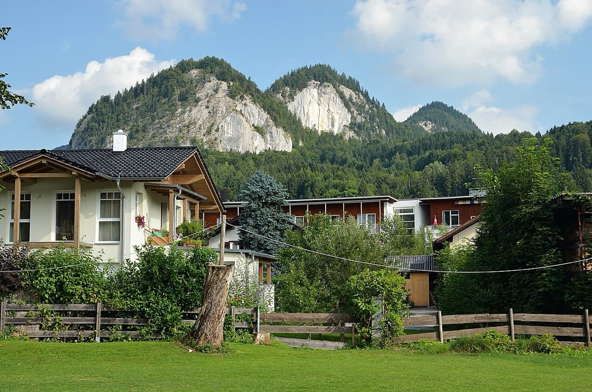
The Plombergstein and Steinklüfte cliffs above St. Gilgen, seen from the village

Austria · Salzkammergut

Juniperus

Five easy pitches up an edge above the Wolfgangsee, mostly UIAA 4 with a few moves of 5-. A slab low down and an exposed step across a cleft on pitch 4 are the memorable bits. A popular first multipitch.

4c5 pitches150 m

No photo yet

Spain · Riglos & Agüero (Mallos)

Normal a la Aguja Roja

The easiest way up a real Riglos summit: five short pitches of 4c on a ramp, a crack and a chimney, steep enough to feel like proper climbing. It is the standard beginners' route and the descent for the whole needle, so expect queues and people abseiling past you. In shade most of the day.

4c5 pitches100 m

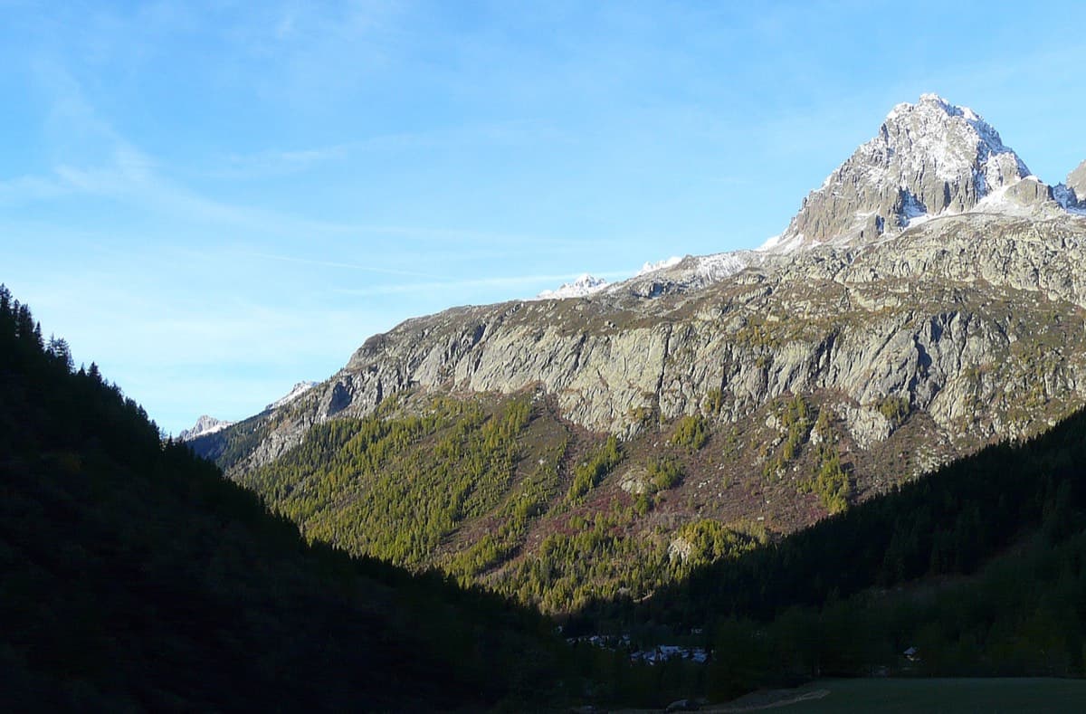
The Chéserys slabs above the forest, below the Aiguilles Rouges

France · Chamonix valley

Voie Jaune

A short, friendly slab route on the sunny gneiss of the Chéserys, facing the Mont Blanc range. Five pitches with one vertical step of 4c, chain belays and an abseil descent make it a standard introduction to multipitch climbing.

4c5 pitches150 m

Compiled from published sources and last verified October 2026. Bolts, anchors and access change. Climbing is dangerous and you are responsible for your own decisions: check a current topo and read the disclaimer.