Multipitch Atlas

Pierre et le loup

Les pieds dans l'eau · Todra Gorge (Todgha) · Morocco

Bail not documentedBolting confidence: medium

Four pitches of steady 5c up the needle beside the Pilier du Couchant, in the heart of the gorge. A short easy first pitch, a crux a few metres below the second belay, a crack pitch and an athletic finish.

The Pilier du Couchant (left panel) and the Pieds dans l'eau needle (right panel) in the Todra Gorge (image from the local topo team)Photo: Aventures verticales Maroc · CC BY-SA 3.0

Photo

The Pilier du Couchant (left panel) and the Pieds dans l'eau needle (right panel) in the Todra Gorge (image from the local topo team)Photo: Aventures verticales Maroc · CC BY-SA 3.0
Hardest pitch
5c
Pitches
4
Length
167 m
Approach
5 min
Aspect
SW
South-west-facing
Rope
2×60 m
55 m abseil

The route

Overview

Pierre et le loup climbs the Pieds dans l'eau needle in the middle of the main gorge, just right of the Pilier du Couchant. It was bolted by the local Aventures Verticales team in 2015 as an accessible multi-pitch: four pitches graded 5.8+ to 5.9+, roughly 5b to 5c, with a harder 6a+ variation on the third pitch if you leave the crack. As with its neighbour Ayour du Todgha, the only description is the equipper's own page. It states a sport route with an anchor at each belay. The descent is from the top, by the side gorge.

The climbing

Pitch by pitch

Pitches of Pierre et le loup
PitchGradeNotes
P15bAn easy, short pitch. Given 5.8+.
P25cThe crux comes about 7 m before the belay. Given 5.9+.
P35cClimb to the left and stay in the crack for the second half; out of the crack the pitch is about 6a+ (5.10b). Given 5.9+.
P45cAn athletic pitch. Given 5.9+.

Getting there

Approach

To the parking

Base yourself at the mouth of the gorge near Tizgui, about 15 km from Tinghir. Marrakech is the nearest international airport, roughly 7 hours by road; buses (CTM, Supratours) run Marrakech to Tinghir, then take a taxi or shared taxi up to the gorge. You do not need a car once there: the sectors are within walking distance of the gorge-entrance hotels and guesthouses.

On foot · about 5 min

A few minutes from the gorge entrance; no source gives a time, and the needle stands beside the Pilier du Couchant, which is 5 minutes away. Les pieds dans l'eau is the medium-sized needle in the middle of the main gorge, on the left bank of the river, just right of the big Pilier du Couchant. In the middle of the gorge cross the river to the left bank. Above the river is a big ledge from which two of the sector's three multi-pitch routes start; the third starts to the right at the foot of the ledge. Pierre et le loup is the third route from the left in the sector.

Map of the walk-in

  • Crag

Loading map

The point marks the crag, not the exact start of the route.

Coordinates · crag

31.58528, -5.58927

Point from camptocamp waypoint 779469 (Les pieds dans l'eau); the Mountain Project sector point is about 80 m away

For your phone or watch

Download GPX

Contains the route point. Opens in most mapping apps and GPS watches.

Points are compiled from published sources, with the precision stated above. They were not surveyed on the ground: check them against a current topo.

Getting down

Descent

After the fourth pitch walk up to the top, then descend the side gorge on the left (looking up at the summit). The sector page describes this as two abseils, with a fixed rope to help you reach the first anchor, and warns that the second abseil is 55 m long.

Retreat

Bailing off the route

Bail not documented

There is an anchor at each belay station, so abseiling back down the route should be possible, but no source describes it and pitch lengths are not published. The normal descent is from the top, down the side gorge.

Retreat from
Any belay, in principle.
Point of no return
Not documented.
Carry
Two ropes; maillons in case the belays are not rigged for abseiling.
Basis
Inferred from the route factsInferred from the statement that every belay has an anchor; not confirmed by any report.

Partly inferred from the route facts

Safety

Hazards

  • The descent includes a 55 m abseil: 2×50 m ropes are not enough.
  • The walk from the last belay to the abseil anchor is helped by a fixed rope whose condition is unknown.
  • Tourists walk below in the gorge; do not dislodge stones.
  • Documented by a single source and not confirmed by recent reports.
  • There is no mountain rescue service in Morocco.

Sun and weather

Conditions

In the main gorge at about 1,650 to 1,700 m. The local topo image gives the sector a west to south aspect with sun from about 11:00 to 16:00, so mornings are shady and can be cold in winter. The river has to be crossed to reach the start.

Usual season · Mar to May, Oct to Nov

Sun on the wall · SW-facing

Working out the sunlit hours for this month.

  • January: not yet worked out
  • February: not yet worked out
  • March (usual season): not yet worked out
  • April (usual season): not yet worked out
  • May (usual season): not yet worked out
  • June: not yet worked out
  • July: not yet worked out
  • August: not yet worked out
  • September: not yet worked out
  • October (usual season): not yet worked out
  • November (usual season): not yet worked out
  • December: not yet worked out

Sun on the wallDaylight, wall in shade● Usual season

Estimated from the wall's aspect only. Ignores surrounding terrain, gullies and the wall's exact shape. Clock times are local to the wall (Moroccan time), for the 15th of each month.

Monthly climate averages for Todra Gorge (Todgha), 1991-2020
MeasureJanFebMar (usual season)Apr (usual season)May (usual season)JunJulAugSepOct (usual season)Nov (usual season)Dec
Mean daily high °C121317212529333227221613
Mean daily low °C−104812162019151041
Rain days 1 mm or more223222013322

● marks the usual climbing season. Averages for 1991-2020 at about 1641 m. Area climate from Open-Meteo reanalysis. Temperatures are adjusted to the height of the crag; rain comes from a grid cell of about 10 to 25 km, and summer highs on sea cliffs can read a few degrees low. The wall and valley can differ. Data: Open-Meteo, CC BY 4.0.

What to carry

Gear

10 quickdraws. Two ropes of 60 m for the 55 m abseil in the side gorge. Helmet.

Checklist

Quickdraws
10
Rope
2×60 m (55 m abseil)
Helmet
One each
Abseil device and prusik
The descent or the retreat involves abseiling
Maillons or spare karabiners
To leave behind if you retreat

Derived from the route data; check it against a current topo

From climbers

Reader reports

Reader reports are not being collected yet. Until they are, check a current topo and the local club or guidebook publisher for recent changes to Pierre et le loup.

Worth knowing

Tips

  • On pitch 3 follow the crack to keep the grade at 5c.
  • Ayour du Todgha, on the same needle, makes a natural pair.

Open questions

Where sources disagree

  • Pitch count: the Mountain Project header says 5 pitches, but the description lists four (L1 to L4) followed by a walk to the top. Four is used here.
  • Grades are published only in the American system (5.8+, 5.9+, 5.9+, 5.9+; 5.9 overall). The French grades here are conversions; Mountain Project's own conversion of the overall grade is 5c.
  • Length: 167 m (550 ft), the same round figure the site gives for the neighbouring route; pitch lengths are not published.

Provenance

Sources

Same area

More in Todra Gorge (Todgha)

All routes in Todra Gorge (Todgha)
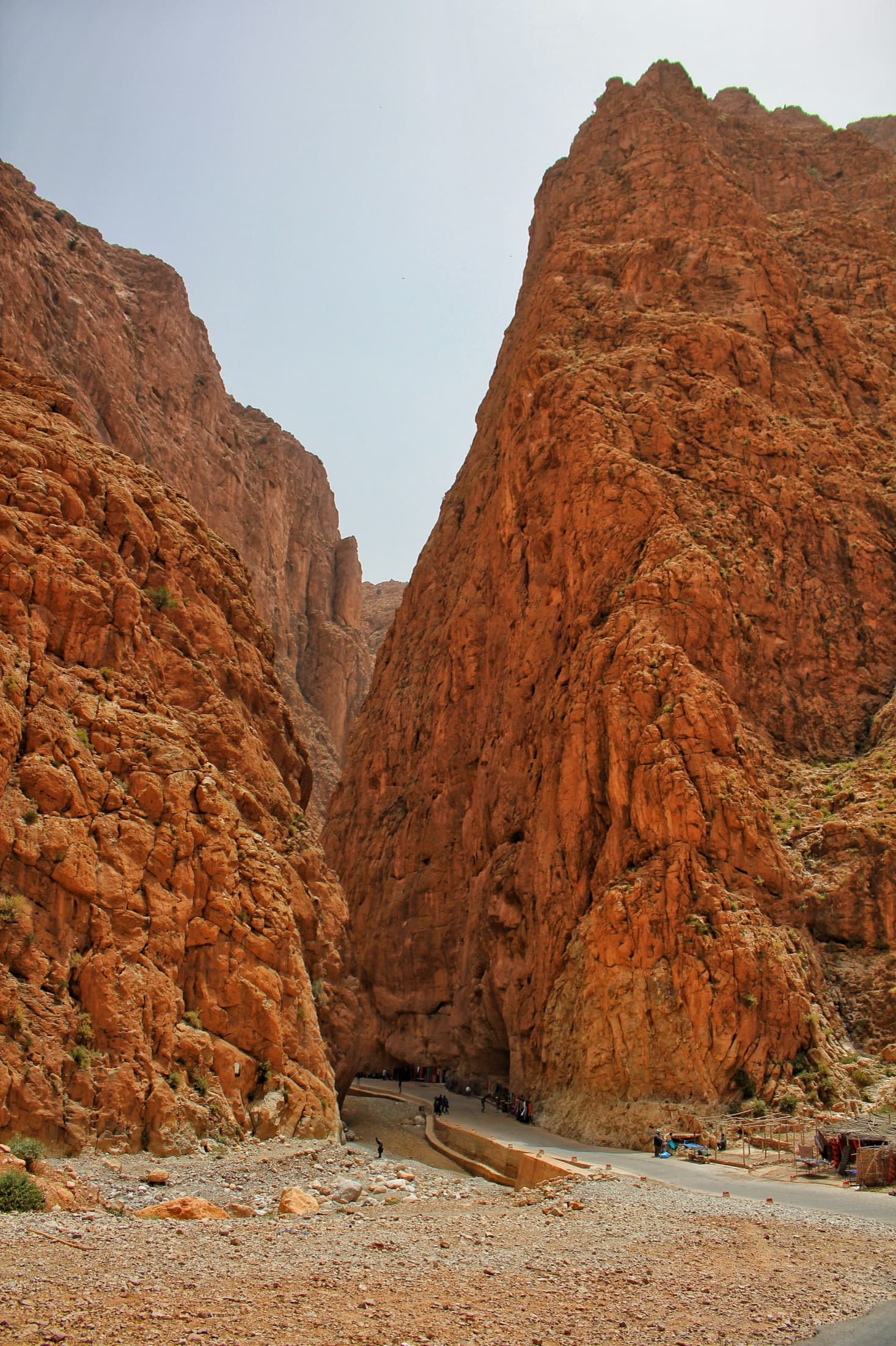
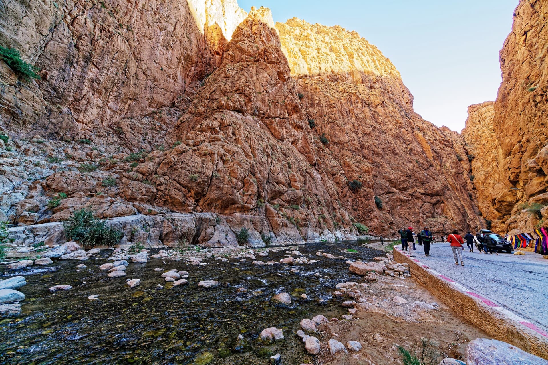
Inside the Todra narrows: the knobbly pointed buttress in the centre is the sector Les pieds dans l'eau, and the tall wall left of the gully beside it, in shade with a sunlit rim, is the Pilier du Couchant, which La Classique climbs.

Morocco · Todra Gorge (Todgha)

La Classique

The classic of the gorge, first climbed in 1977. Sustained and physical 6a climbing up cracks, corners and short bulges on the big pillar at the gorge entrance. The first pitch is the 6a+ crux, straight off the ground. Watch for loose blocks on the last pitch, shared with Chibania.

6a+9 pitches300 m

Read the cautions
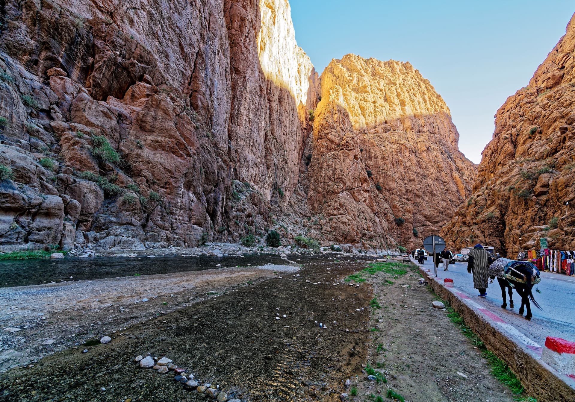
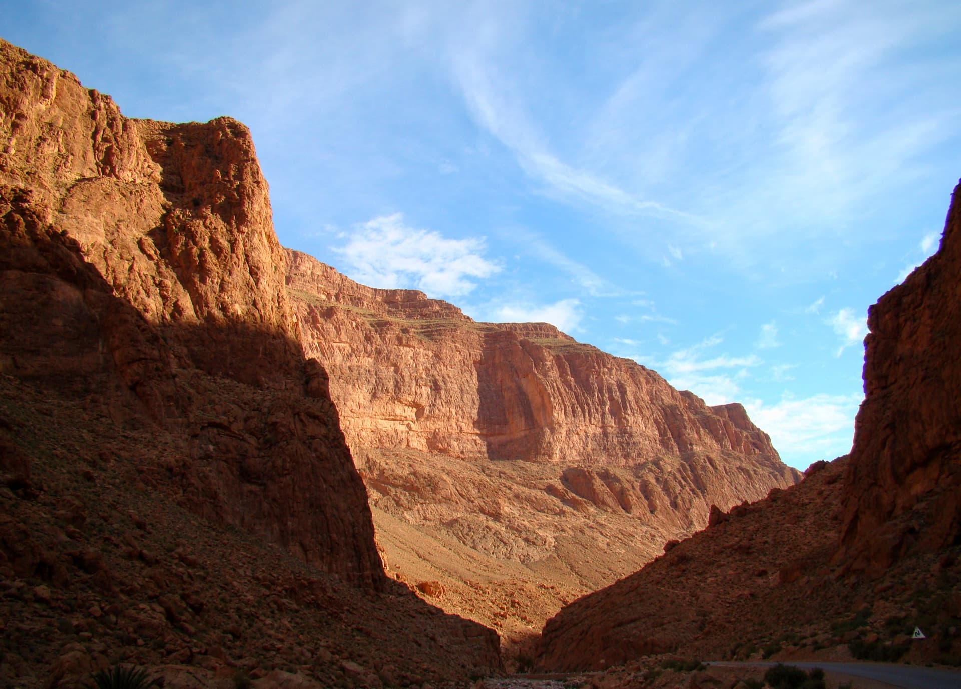
The narrows of the Todra Gorge in late afternoon light, a few minutes' walk upstream of the Mansour wall; a view of the gorge, not of this route's wall.

Morocco · Todra Gorge (Todgha)

Tiwira

A long, moderate line above the Mansour palm grove at the upstream end of the gorge. Mostly steady 5c with a 6a crack to start and a harder, very abrasive finish. Big views up the valley.

6b7 pitches300 m

The Todra Gorge looking upstream from above the narrows in morning light. The Paroi du Levant is further up the valley and is not identifiable in this view.

Morocco · Todra Gorge (Todgha)

Hannah chez les grands

Eight pitches up the middle of the Levant wall, with the 6a on the first pitch and steady 5a–5c above. Morning sun. Camptocamp rates the commitment a little higher than the gorge-floor routes because of the length.

6a8 pitches320 m

The upstream mouth of the Todra narrows: the road disappears into the slot and the great prow rising on its right is the Arête Nord.

Morocco · Todra Gorge (Todgha)

Une arête dans la gorge

The longest route in the gorge: 550 m of easy ridge climbing on the left as you leave the narrows. Sold locally as the beginner's first big bolted route. The first three or four pitches are in shade with a 7 am start; after that you are in the sun.

5c13 pitches550 m

Read the cautions

Around 5c · about 4 pitches

Similar elsewhere

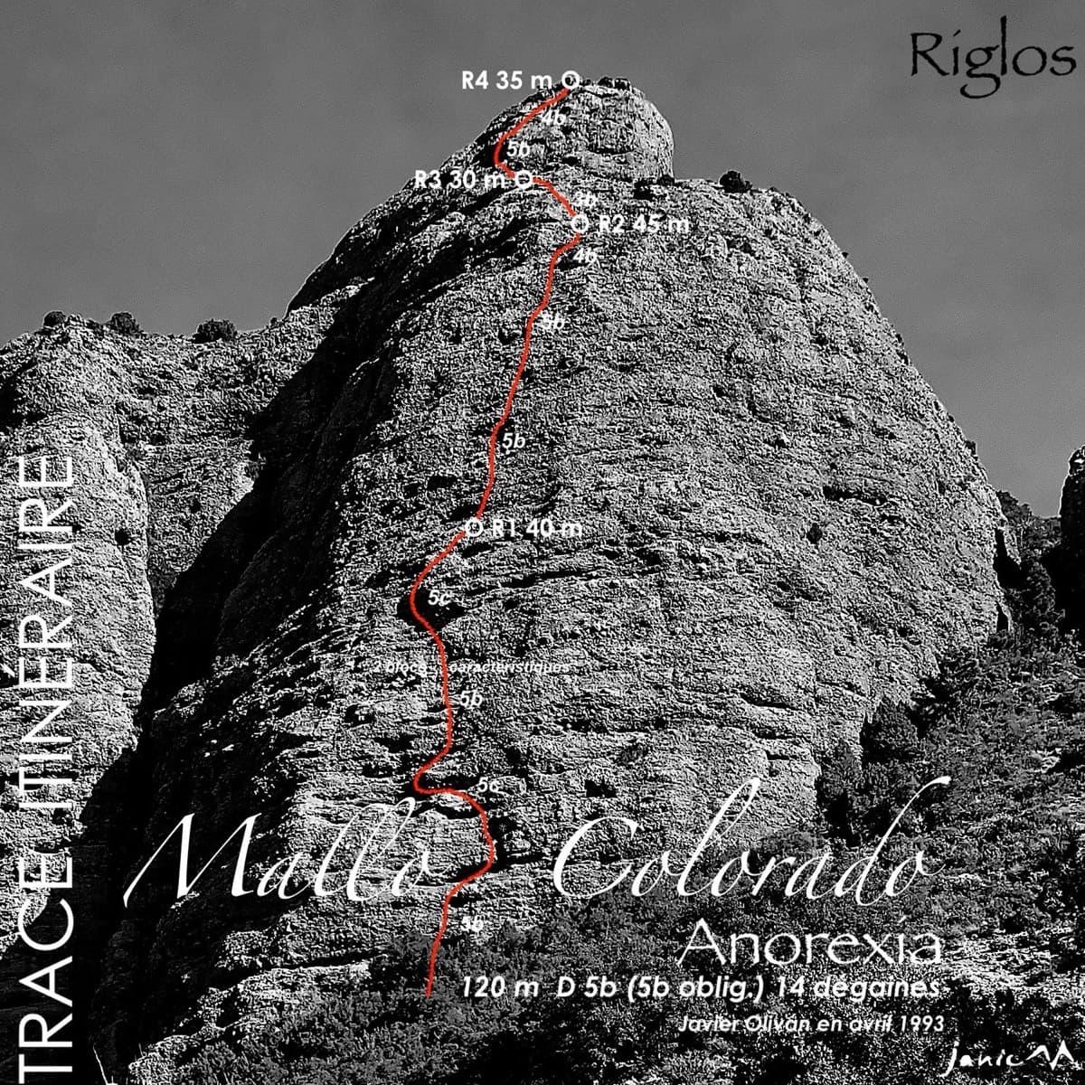
Topo of Anorexia on Mallo Colorado, Riglos

Spain · Riglos & Agüero (Mallos)

Anorexia

The best-known route on the Mallo Colorado. Two steep, juggy panza pitches have a well-protected boulder move, giving a short taste of real Riglos steepness at a friendly grade.

5c4 pitches150 m

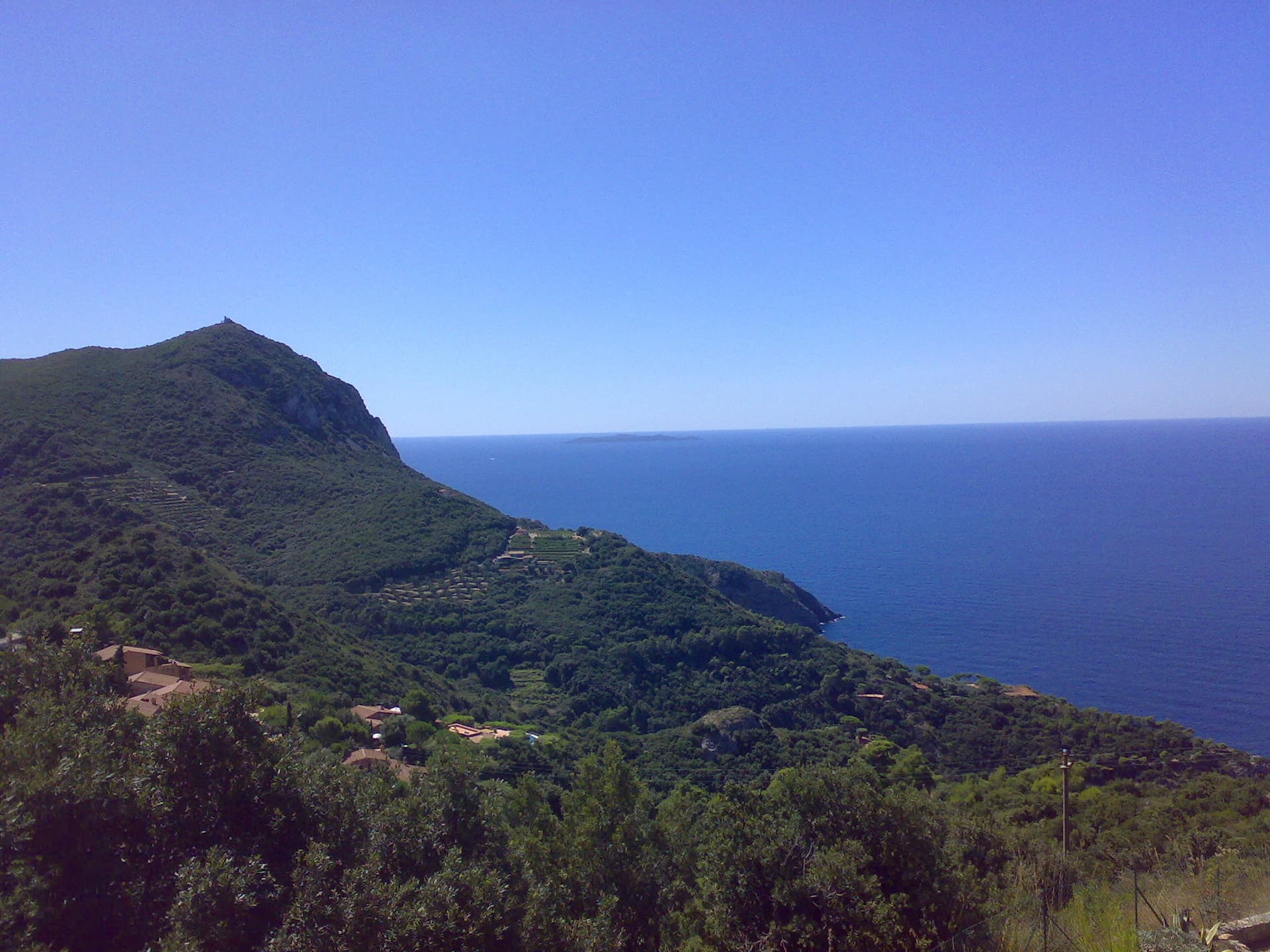
The headland of Capo d'Uomo on Monte Argentario with its watchtower on top, and the island of Giannutri on the horizon. The multipitch wall drops towards the sea below the tower; the routes are not visible in this view.

Italy · Monte Argentario

Maria Mare

Four pitches on the sea-facing wall of Capo d'Uomo: a featured slab, an easy linking pitch, and two vertical, athletic pitches on sculpted grey limestone to the crest below the old watchtower. The final wall is the highlight. The lower pitches need care with holds.

5c4 pitches110 m

Read the cautions

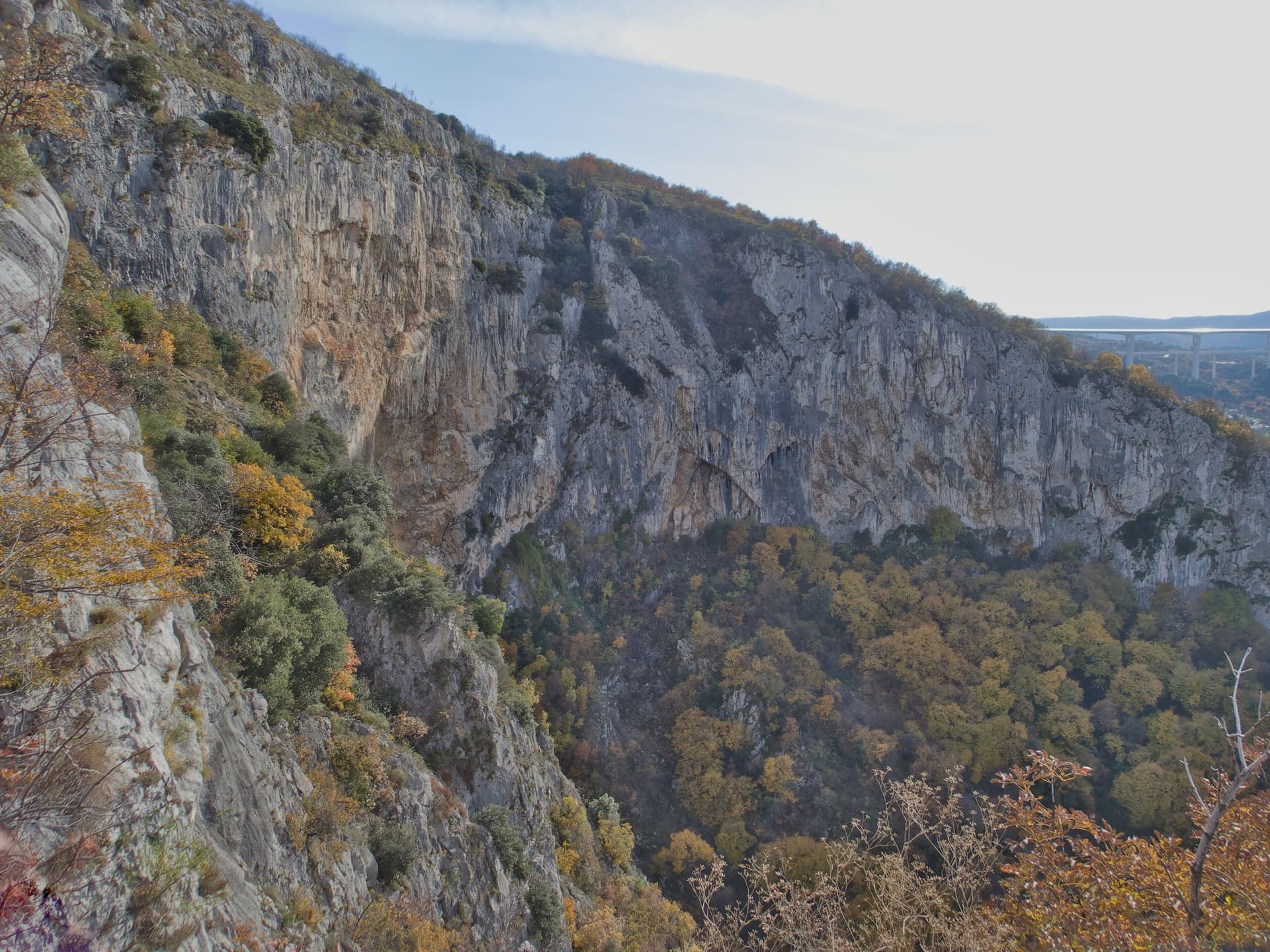
The Velika stena, the big wall of the Osp collapse doline, seen along its length from the rim in autumn; Medo is on the right side of this wall.

Slovenia · Osp

Medo

The easiest line on Osp's famous overhanging Big Wall, following an obvious right-slanting ramp, the only non-overhanging part of the face. It is in shade until about 11:30 in July.

5c4 pitches110 m

Read the cautions

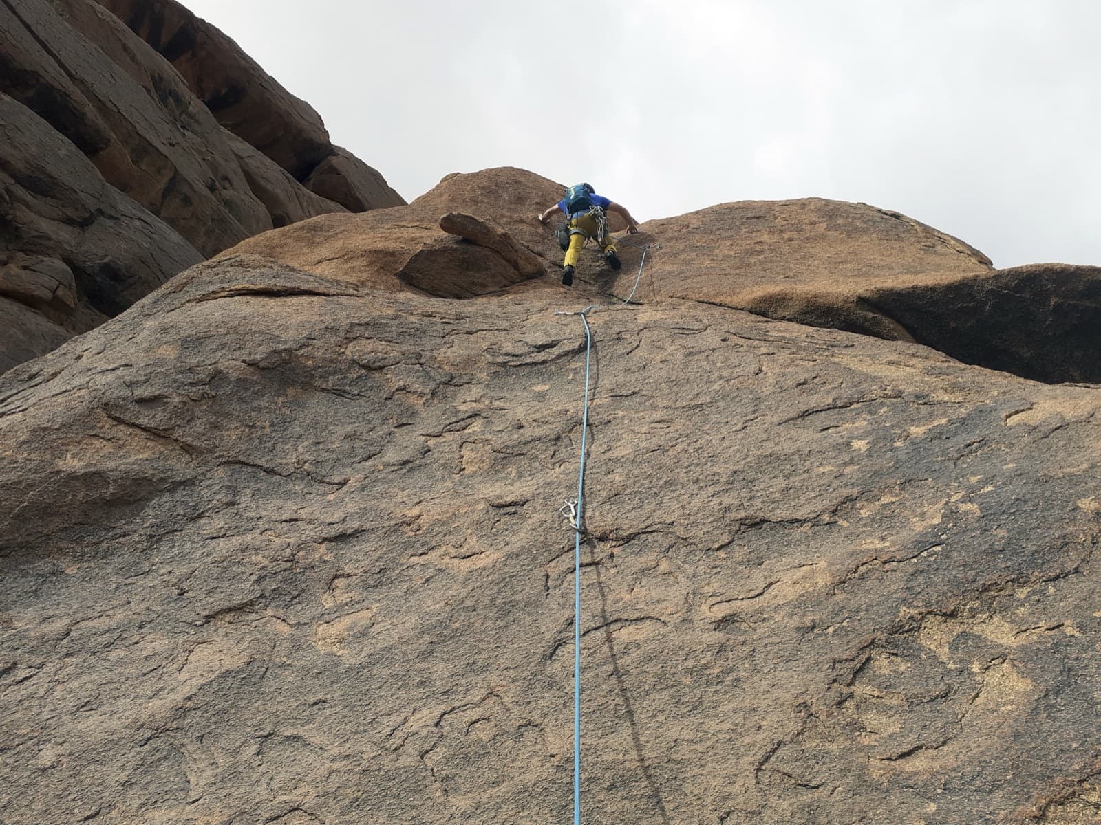
Leading a granite slab pitch of The Silk Road on the Second Dome of Tazka.

Morocco · Tafraout (Anti-Atlas)

The Silk Road

Bolted granite slabs to the top of a dome above the Tafraout valley, with a hand-traverse across a gully on pitch 3. Short, but a rest day from trad in an area that is otherwise almost all cams.

5c4 pitches95 m

Compiled from published sources and last verified October 2026. Bolts, anchors and access change. Climbing is dangerous and you are responsible for your own decisions: check a current topo and read the disclaimer.