Spain · Riglos & Agüero (Mallos)
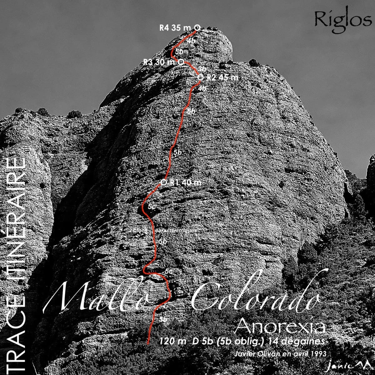
Anorexia
The best-known route on the Mallo Colorado. Two steep, juggy panza pitches have a well-protected boulder move, giving a short taste of real Riglos steepness at a friendly grade.
5c4 pitches150 m
Tazka, Second Dome · Tafraout (Anti-Atlas) · Morocco
Bail not documentedBolting confidence: medium
Bolted granite slabs to the top of a dome above the Tafraout valley, with a hand-traverse across a gully on pitch 3. Short, but a rest day from trad in an area that is otherwise almost all cams.
The route
A short bolted slab route to the top of the Second Dome at Tazka, just outside Tafraout. Two slab pitches up a pillar, then a move across a gully and a hand-traverse on big holds to a terrace, and a long easy slab to the summit. Camptocamp calls it one of the bolted (short) multipitches at Tafraout. It is a half-afternoon outing rather than a big day, with a walk-off.
The climbing
| Pitch | Grade | Length | Notes |
|---|---|---|---|
| P1 | 5b | 18 m | Slab. |
| P2 | 5c | 17 m | Slab. Normally linked with pitch 1. |
| P3 | 5b | 20 m | Climb up a little, then cross the gully onto the left wall and hand-traverse to a terrace. A 2023 party thought this traverse, on big holds, was the real crux rather than the slab. |
| P4 | 5a | 40 m | Follow the slabs to the summit. The bolts are more spaced here, but the actual climbing moves are protected. |
Getting there
Tafraout, in the Anti-Atlas. Visiting parties typically fly to Agadir and hire a car; the mountain roads are narrow and winding. Tazka is immediately outside the town. Hotel les Amandiers in Tafraout is the usual climbers' base and holds the new-routes book. Parking for the dome is shown in the printed guidebook; no source read here describes it.
Camptocamp only says the approach is obvious by sight from the parking and refers you to the printed topo. No time is given.
Loading map
The point marks the crag, not the exact start of the route.
Point from camptocamp waypoint 1077033
Contains the route point. Opens in most mapping apps and GPS watches.
Points are compiled from published sources, with the precision stated above. They were not surveyed on the ground: check them against a current topo.
Coordinates: 29.69689, -8.99288 (crag)
Getting down
Walk off, described as obvious, via the col between the First and Second Domes. No time given.
Retreat
Bail not documented
Retreat is not documented. Camptocamp describes a walk-off from the summit and says nothing about how the belays are rigged or whether anyone has abseiled the route. It is short (95 m), so a retreat is unlikely to be a big undertaking, but that is a guess from the size, not something a source states.
Partly inferred from the route facts
Safety
Sun and weather
South facing granite at about 1400 m per camptocamp's waypoint. A 2023 party climbed it in February between showers. No source gives drying or shade details.
Sun on the wall · S-facing
Working out the sunlit hours for this month.
Sun on the wallDaylight, wall in shade● Usual season
Estimated from the wall's aspect only. Ignores surrounding terrain, gullies and the wall's exact shape. Clock times are local to the wall (Moroccan time), for the 15th of each month.
Climate figures for Tafraout (Anti-Atlas) are not available yet
What to carry
10 quickdraws (camptocamp). The longest pitch is 40 m and the descent is on foot, so a single 50 m rope covers it; no source states a rope length.
Derived from the route data; check it against a current topo
From climbers
Reader reports are not being collected yet. Until they are, check a current topo and the local club or guidebook publisher for recent changes to The Silk Road.
Worth knowing
Open questions
Provenance
Around 5c · about 4 pitches
Spain · Riglos & Agüero (Mallos)
The best-known route on the Mallo Colorado. Two steep, juggy panza pitches have a well-protected boulder move, giving a short taste of real Riglos steepness at a friendly grade.
5c4 pitches150 m
Slovenia · Osp
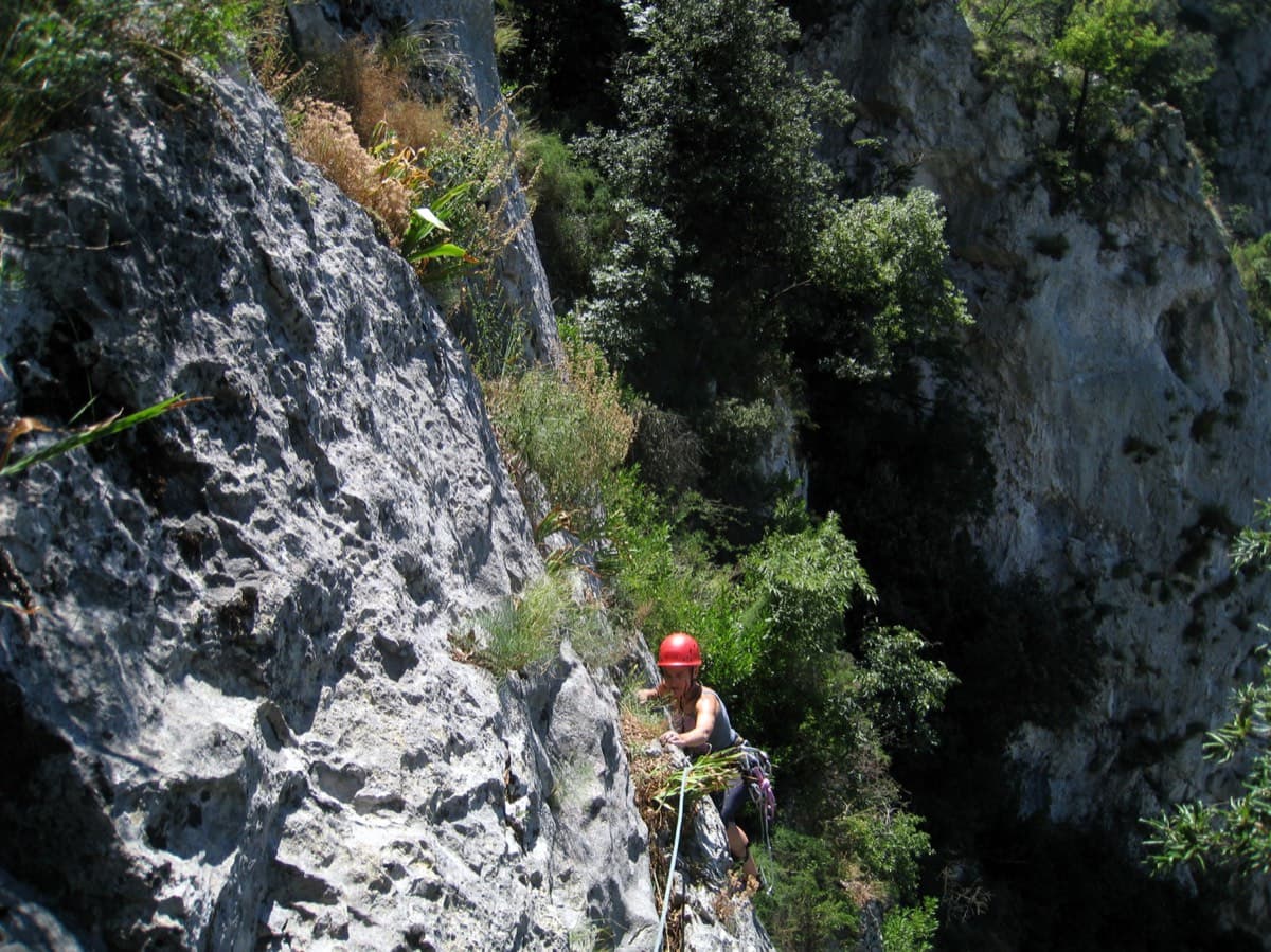
The easiest line on Osp's famous overhanging Big Wall, following an obvious right-slanting ramp, the only non-overhanging part of the face. It is in shade until about 11:30 in July.
5c4 pitches110 m
Read the cautions
Italy · Gaeta & Sperlonga
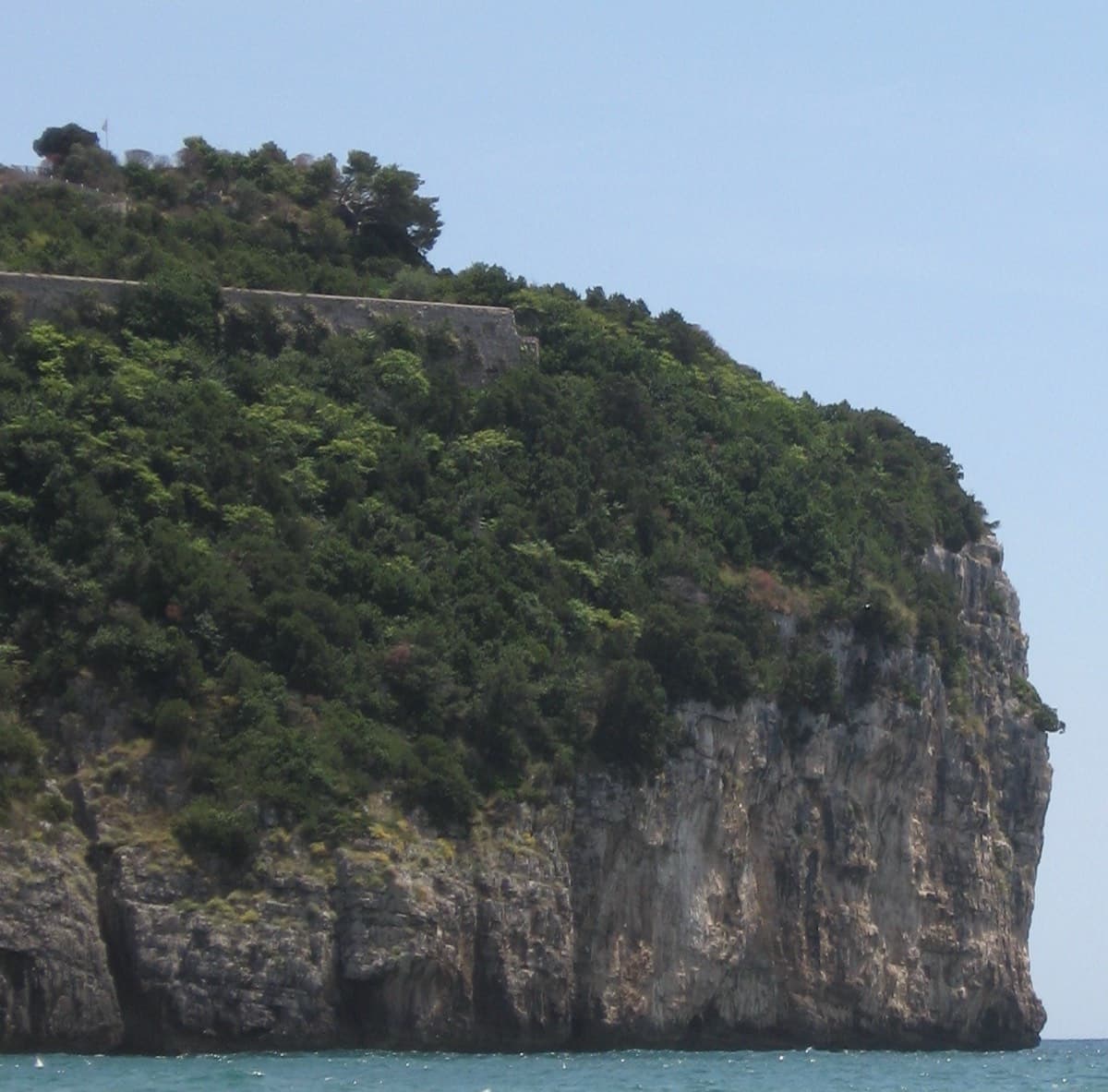
This was the second route on Montagna Spaccata and is the cliff's classic moderate. It's never hard but never trivial, with continuous exposure above the sea: a horizontal crack traverse, an athletic juggy chimney and corners. Gulliver gives UIAA grades V–V+ / IV+–V / V+ / V / V–IV+ (5c max), converted here.
5c5 pitches125 m
Read the cautionsCommitting
Spain · Montserrat
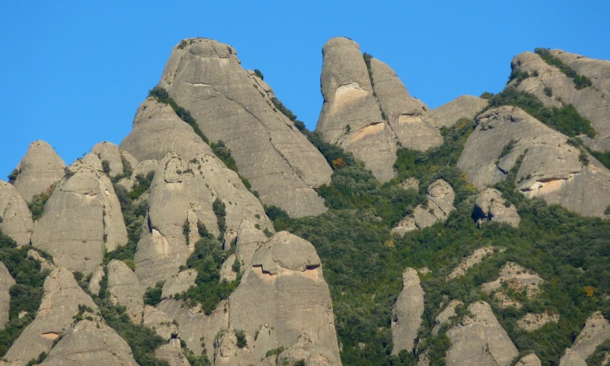
A straightforward line up the 'Phrygian cap' visible from the monastery. Only the short vertical step on pitch 3 is sustained. It is a good route for learning Montserrat pebble technique and has a summit cross with a big view. The approach takes about 10 min from the Sant Joan funicular top.
5c5 pitches140 m
Compiled from published sources and last verified October 2026. Bolts, anchors and access change. Climbing is dangerous and you are responsible for your own decisions: check a current topo and read the disclaimer.