Austria · Ötztal
Caipirinha
A mix of slabs and steep, juggy passages in the Sonnenblume sector, mostly around 5b to 5c+. The one hard move is a small roof on pitch 4 (6b+), which goes easily on aid.
6b+5 pitches170 m
Nösslachwand, Längenfeld (Au) · Ötztal · Austria
Bail with caveatsBolting confidence: high
The best-known long route at Nösslach: steep, well-travelled gneiss slabs low down, a zigzag through the big roof zone in the middle, and more slab to finish. Two pitches of about 6b to 6b+, the rest around 6a.
The route
Strada del Sole starts in the middle of the Nösslach sport crag and climbs seven pitches to the top of the wall. bergsteigen.com calls it the "best of Nösslachwand". The first pitches are steep, polished slabs on small edges; higher up the line crosses the big overhanging roof zone in a clever zigzag; a slab pitch leads to the route book at the top. The hardest pitches are the second and the sixth. Sources grade it between 6b and 6b+ (UIAA 7), with about 6a+ obligatory.
The climbing
| Pitch | Grade | Length | Notes |
|---|---|---|---|
| P1 | 6a | 35 m | Steep slabs on small edges. Climbers Paradise gives 5b. |
| P2 | 6b+ | 20 m | A steep, smooth pillar; one of the two hard pitches. Climbers Paradise gives 6b. |
| P3 | 6a+ | 28 m | Up into the roof zone, with a roof just before the belay. |
| P4 | 6a | 20 m | Juggy blocks beyond the vertical that look a little doubtful. A traverse: watch the rope drag and look after the second. Climbers Paradise gives 5c. |
| P5 | 6a | 20 m | Includes one of the few vegetated passages, with dwarf pine and earth. Climbers Paradise gives 5c. |
| P6 | 6b | 25 m | The second hard pitch. |
| P7 | 6a | 47 m | A long, well-cleaned slab pitch to the route book. Climbers Paradise gives 5c. |
Getting there
Leave the Inn valley motorway at the Ötztal exit and drive about 18 km up the valley, through Umhausen, to the hamlet of Au just before Längenfeld. Use the signed car park by the river Ötztaler Ache, opposite the small sewage works and chapel; Climbers Paradise asks you not to park at the recycling yard or by the chapel. By public transport: train to Ötztal-Bahnhof, then the valley bus to Au.
10 to 15 min. From the car park go through the cycle-path underpass to the sewage works on the other side of the road, then left along the hiking path towards the Wiesle inn for a short way. At the junction (barrier) turn right to the Nösslachwand sport crag. The start is in the slab zone right of the classic single pitch "Weißer Riese", marked by a yellow painted stone fixed to the rock with the route name on it.
Loading map
The point marks the crag, not the exact start of the route.
Parking
Signed car park by the Ötztaler Ache at Au
Point from bergsteigen.com touren/klettern/strada-del-sole-noesslachwand (marker labelled approximate)
Contains the route point and parking. Opens in most mapping apps and GPS watches.
Points are compiled from published sources, with the precision stated above. They were not surveyed on the ground: check them against a current topo.
Coordinates: 47.10828, 10.95413 (crag) · Parking: 47.10560, 10.95314
Getting down
On foot, 30 to 45 min. From the top follow traces horizontally along the edge of the wall and on narrow ledges to the left (north), past a small waterfall. At a group of trees go up a ramp to the right and back left to a tree with a white arrow; look for the path and signs of passage. Continue straight to the end of the wall, descend a short grassy gully, and pick up a path to the waymarked trail that leads back to the car park. Camptocamp adds that red marks on the trees show the way, and that if you reach a second route-book box you have gone too far.
Retreat
Bail with caveats
You can abseil from the lower belays, but a camptocamp contributor says the belays are not really intended for abseiling and are not linked above the fourth. Higher up the line zigzags through roofs, so abseils would be awkward and you would leave gear.
Partly inferred from the route facts
Safety
Sun and weather
West to south-west facing, 1200 to 1370 m. bergsteigen.com gives May to October, Climbers Paradise June to September. The wall seeps: camptocamp says to leave it two days after rain. Both the climbing and the descent are bad when wet.
Sun on the wall · SW-facing
Working out the sunlit hours for this month.
Sun on the wallDaylight, wall in shade● Usual season
Estimated from the wall's aspect only. Ignores surrounding terrain, gullies and the wall's exact shape. Clock times are local to the wall (Central European time), for the 15th of each month.
| Measure | Jan | Feb | Mar | Apr | May (usual season) | Jun (usual season) | Jul (usual season) | Aug (usual season) | Sep (usual season) | Oct (usual season) | Nov | Dec |
|---|---|---|---|---|---|---|---|---|---|---|---|---|
| Mean daily high °C | −0 | 2 | 5 | 8 | 13 | 17 | 19 | 19 | 16 | 12 | 5 | 1 |
| Mean daily low °C | −10 | −8 | −4 | −1 | 3 | 7 | 9 | 9 | 6 | 1 | −5 | −9 |
| Rain days 1 mm or more | 12 | 12 | 15 | 16 | 20 | 22 | 22 | 21 | 15 | 13 | 13 | 13 |
● marks the usual climbing season. Averages for 1991-2020 at about 1267 m. Area climate from Open-Meteo reanalysis. Temperatures are adjusted to the height of the crag; rain comes from a grid cell of about 10 to 25 km, and summer highs on sea cliffs can read a few degrees low. The wall and valley can differ. Data: Open-Meteo, CC BY 4.0.
What to carry
14 quickdraws, a 60 m single or double rope and a helmet. Camptocamp suggests slings for the belays.
Derived from the route data; check it against a current topo
From climbers
Reader reports are not being collected yet. Until they are, check a current topo and the local club or guidebook publisher for recent changes to Strada del Sole.
Worth knowing
Open questions
Provenance
Same area
Austria · Ötztal
A mix of slabs and steep, juggy passages in the Sonnenblume sector, mostly around 5b to 5c+. The one hard move is a small roof on pitch 4 (6b+), which goes easily on aid.
6b+5 pitches170 m
Austria · Ötztal
Steep, exposed gneiss left of the Reinhard Schiestl via ferrata, finding a way between huge roofs. The cruxes are the steep slabs of pitches 5 and 6 (6c). Stiffly graded, and the abseil descent is not for everyone.
6c8 pitches195 m
Around 6b+ · about 7 pitches
Italy · Sardinia
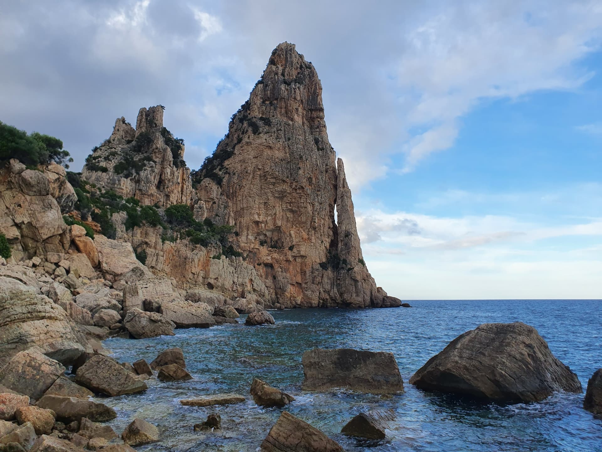
A sea-level start reached by abseil, then seven short pitches up the seaward face of Pedra Longa. The third pitch is a wildly exposed traverse above a line of roofs; two easy pitches on rock that needs care lead to a technical 6b and 6b+ finish on grey slab.
6b+7 pitches175 m
Turkey · Aladağlar
Often named as the best route in the massif: seven even pitches of 6a to 6b+ that move from delicate slabs and giant flutings through a steep, rough wall to mountain-style ground at the top. The 6b pitches are no harder than the 6a ones, but the bolts are far enough apart to keep you thinking.
6b+7 pitches235 m
Read the cautions
Italy · Bolzano & South Tyrol
Steep crack, corner and chimney climbing on porphyry, fully bolted in the middle of a trad crag. Sustained at 6a to 6b with a technical 6b+ first pitch. It stays in the shade until mid-afternoon, which makes it a summer option.
6b+7 pitches190 m
Spain · Riglos & Agüero (Mallos)
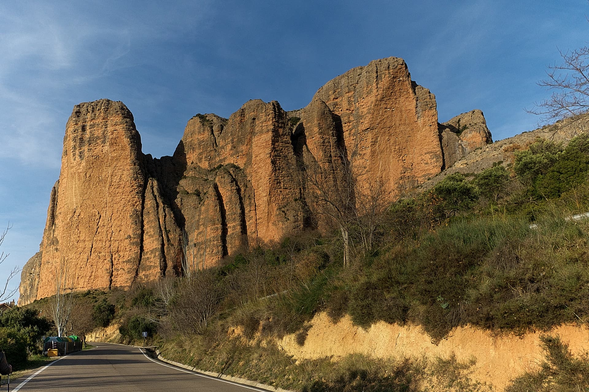
A recent, closely bolted line on the Mallo Frechín and a good way to get to know Riglos without being frightened. A stiff 6b+ second pitch that many find nearer 6c, then steep, sustained 6a and 6a+ over a succession of bulges on unpolished rock. You can abseil off from the top.
6b+7 pitches190 m
Compiled from published sources and last verified October 2026. Bolts, anchors and access change. Climbing is dangerous and you are responsible for your own decisions: check a current topo and read the disclaimer.