Multipitch Atlas

Voie des Cristaux

Pic de Jallouvre (Col de la Colombière) · Aravis · France

Bail with caveatsBolting confidence: high

Sixteen pitches of easy slabs and water-worn runnels above the Col de la Colombière, on the border between scrambling, climbing and mountaineering. Nothing is harder than 4b and most of it is grade 3, on sculpted, grippy limestone among ibex and edelweiss. Many parties carry on up the Arête des Bouquetins to the summit for a very long day.

The south face of the Pic de Jallouvre with route lines; the Voie des Cristaux is the long line on the rightPhoto: Pascal Sauvain (photo), David Bochot (lines) · CC BY-SA 3.0

Topo

The south face of the Pic de Jallouvre with route lines; the Voie des Cristaux is the long line on the rightPhoto: Pascal Sauvain (photo), David Bochot (lines) · CC BY-SA 3.0
Hardest pitch
4b
Pitches
16
Length
400 m
Approach
10 min
Aspect
SE
South-east-facing
Rope
1×50 m
walk-off

The route

Overview

The Voie des Cristaux, also called the Voie des Criquets, follows a faint spur at the right-hand end of the Jallouvre cliffs for 400 m of height, from a roadside quarry to the cable of the via ferrata return path. It was equipped in memory of Pierre-Alain Rickli to introduce people to this kind of terrain, and the line is defined by the bolts: if you stop finding them you are off route. The climbing comes in two parts separated by a 15 minute walk across grass. At the top you can descend at once or continue up the Arête des Bouquetins (another 400 m, much less equipped) to the summit, 6 to 8 hours for the whole.

The climbing

Pitch by pitch

Pitches of Voie des Cristaux
PitchGradeLengthNotes
P1–50 mSlabs from the painted name 'Cristaux'. The English camptocamp text gives 50 m and says the pitch can be split. The first five pitches are about 3b with a few moves of 4a.
P2––Slabs that lie back more and more, about 3b with the odd move of 4a. After pitch 5 comes a 10 to 15 min walk: skirt the obvious slab system on its right without climbing onto it, following small cairns to a large one. From here a path leads right to the Col de la Colombière if you want to stop.
P3––Slabs that lie back more and more, about 3b with the odd move of 4a. After pitch 5 comes a 10 to 15 min walk: skirt the obvious slab system on its right without climbing onto it, following small cairns to a large one. From here a path leads right to the Col de la Colombière if you want to stop.
P4––Slabs that lie back more and more, about 3b with the odd move of 4a. After pitch 5 comes a 10 to 15 min walk: skirt the obvious slab system on its right without climbing onto it, following small cairns to a large one. From here a path leads right to the Col de la Colombière if you want to stop.
P5––Slabs that lie back more and more, about 3b with the odd move of 4a. After pitch 5 comes a 10 to 15 min walk: skirt the obvious slab system on its right without climbing onto it, following small cairns to a large one. From here a path leads right to the Col de la Colombière if you want to stop.
P6––From the large cairn: runnels at about 50 degrees (grade 3), grassy ledges and occasional vertical steps up to 4b. After the first few pitches parties often link two or three pitches or move together. Around pitches 11 to 13 keep right of the bolts of the neighbouring route Les Miss.
P7––From the large cairn: runnels at about 50 degrees (grade 3), grassy ledges and occasional vertical steps up to 4b. After the first few pitches parties often link two or three pitches or move together. Around pitches 11 to 13 keep right of the bolts of the neighbouring route Les Miss.
P8––From the large cairn: runnels at about 50 degrees (grade 3), grassy ledges and occasional vertical steps up to 4b. After the first few pitches parties often link two or three pitches or move together. Around pitches 11 to 13 keep right of the bolts of the neighbouring route Les Miss.
P9––From the large cairn: runnels at about 50 degrees (grade 3), grassy ledges and occasional vertical steps up to 4b. After the first few pitches parties often link two or three pitches or move together. Around pitches 11 to 13 keep right of the bolts of the neighbouring route Les Miss.
P10––From the large cairn: runnels at about 50 degrees (grade 3), grassy ledges and occasional vertical steps up to 4b. After the first few pitches parties often link two or three pitches or move together. Around pitches 11 to 13 keep right of the bolts of the neighbouring route Les Miss.
P11––From the large cairn: runnels at about 50 degrees (grade 3), grassy ledges and occasional vertical steps up to 4b. After the first few pitches parties often link two or three pitches or move together. Around pitches 11 to 13 keep right of the bolts of the neighbouring route Les Miss.
P12––From the large cairn: runnels at about 50 degrees (grade 3), grassy ledges and occasional vertical steps up to 4b. After the first few pitches parties often link two or three pitches or move together. Around pitches 11 to 13 keep right of the bolts of the neighbouring route Les Miss.
P13––From the large cairn: runnels at about 50 degrees (grade 3), grassy ledges and occasional vertical steps up to 4b. After the first few pitches parties often link two or three pitches or move together. Around pitches 11 to 13 keep right of the bolts of the neighbouring route Les Miss.
P14––From the large cairn: runnels at about 50 degrees (grade 3), grassy ledges and occasional vertical steps up to 4b. After the first few pitches parties often link two or three pitches or move together. Around pitches 11 to 13 keep right of the bolts of the neighbouring route Les Miss.
P154b–Mostly a walk to below a small overhang at the top of a steep gully blocked by a jammed block; the overhang is 3 m of 4b. This pitch and the next can be avoided.
P16––A superb last pitch up twisting runnels to the cable of the via ferrata return path.

Getting there

Approach

To the parking

The route starts from a small quarry beside the second hairpin below the Col de la Colombière on its south (Le Grand-Bornand, Le Chinaillon) side. The quarry car park gives easier access than the crowded car park at the col. A shuttle runs from Le Grand-Bornand to Le Chinaillon, from where a path or the road climbs to the col. The col road is closed in winter.

On foot · about 10 min

About 10 min. From the quarry go up the grassy slope above, following cairns. The route starts at the top of the slope, 10 m left of the quarry's erosion gully, with 'Cristaux' painted on the rock (blue in the French description, red in the English one).

Finding the route · 3 photos

  • OverviewThe south face of the Pic de Jallouvre, which carries many routes, with the Pointe Blanche.Photo: skals · CC BY-SA 3.0
  • ParkingSketch map of the Col de la Colombière road: the car park (P) at the hairpin just below the col on the Grand-Bornand side lies under the Jallouvre cliff (black), with the col car park and the via ferrata car park also marked.Photo: David Bochot · CC BY-SA 3.0
  • ParkingThe busy car park at the Col de la Colombière seen from above; the route starts lower down, from the quarry at the second hairpin on the Grand-Bornand side.Photo: piuu · CC BY-NC-ND 3.0

Approach photo

Map of the walk-in

  • Crag
  • Parking

Loading map

The point marks the crag, not the exact start of the route.

Coordinates · crag

45.99619, 6.45340

Parking

45.99222, 6.47556

Col de la Colombière (camptocamp access point)

Point from camptocamp waypoint 38260

For your phone or watch

Download GPX

Contains the route point and parking. Opens in most mapping apps and GPS watches.

Points are compiled from published sources, with the precision stated above. They were not surveyed on the ground: check them against a current topo.

Getting down

Descent

From the top you are on the return path of the via ferrata; follow it down. The rock is polished in places and needs care when the cable has been removed for winter, and snow patches can linger into mid spring. If you continue along the Arête des Bouquetins to the summit, the descent goes round by the Col du Rasoir and is long; a steep snow patch can lie below the north face there early in the season.

Retreat

Bailing off the route

Bail with caveats

Camptocamp states that you can always escape from this route. The clearest exit is after pitch 5, where a path leads right from the grassy walking section to the Col de la Colombière. At the top, the via ferrata return path takes you down without doing the ridge. Abseiling the pitches is not described.

Retreat from
After pitch 5 (path to the col), and at the top of pitch 16 (via ferrata return path). The last two pitches are avoidable.
Point of no return
None stated.
Carry
Nothing special; care on steep, slippery grass. Abseiling would mean checking each belay, as their rigging is not described.
Basis
Stated in the sourcesThe camptocamp route page states the escape after the first part and that escape is always possible; it gives no detail for the upper runnels.

Safety

Hazards

  • The grass on the walking section is slippery, especially early in spring.
  • Route finding on the walk between the two parts needs attention: the cairns are small except the last.
  • Around pitches 11 to 13 it is easy to stray left onto Les Miss; a 2025 party ended up on a 5b pitch there.
  • The harder moves are starting to polish.
  • The descent path is polished and exposed in places and is harder when the via ferrata cable is removed or when snow remains.

Sun and weather

Conditions

South-east facing between about 1550 and 1950 m. Camptocamp calls the aspect ideal summer and winter, and reports run from mid May to mid November; one November party had sun on pitch 1 at 9:45 and a snowy descent. The col road closes in winter. The sector is busy in August.

Usual season · May to Oct

Sun on the wall · SE-facing

Working out the sunlit hours for this month.

  • January: not yet worked out
  • February: not yet worked out
  • March: not yet worked out
  • April: not yet worked out
  • May (usual season): not yet worked out
  • June (usual season): not yet worked out
  • July (usual season): not yet worked out
  • August (usual season): not yet worked out
  • September (usual season): not yet worked out
  • October (usual season): not yet worked out
  • November: not yet worked out
  • December: not yet worked out

Sun on the wallDaylight, wall in shade● Usual season

Estimated from the wall's aspect only. Ignores surrounding terrain, gullies and the wall's exact shape. Clock times are local to the wall (Central European time), for the 15th of each month.

Monthly climate averages for Aravis, 1991-2020
MeasureJanFebMarAprMay (usual season)Jun (usual season)Jul (usual season)Aug (usual season)Sep (usual season)Oct (usual season)NovDec
Mean daily high °C−7−5−21610131395−2−6
Mean daily low °C−16−15−12−8−4133−1−5−11−15
Rain days 1 mm or more131113151918171614131413
Sunshine hours a day5.97.18.710.010.611.512.011.09.47.86.25.5

● marks the usual climbing season. Averages for 1991-2020 at about 2371 m. Area climate from Open-Meteo reanalysis (about 10 km grid): the wall and valley can differ. Data: Open-Meteo, CC BY 4.0.

What to carry

Gear

A 50 m rope, 10 quickdraws and slings. Light mountain boots or approach shoes are enough for many parties and save changing for the walking sections. Early in the season, an ice axe and light crampons for steep snow on the descent. Helmet.

Checklist

Quickdraws
10
Rope
1×50 m (walk-off)
Helmet
One each

Derived from the route data; check it against a current topo

From climbers

Reader reports

Reader reports are not being collected yet. Until they are, check a current topo and the local club or guidebook publisher for recent changes to Voie des Cristaux.

Worth knowing

Tips

  • To shorten the day, skip the first part by walking up the via ferrata descent path and starting at the belay at the top of the meadow, as one 2025 party suggests.
  • Parties report about 5 hours from the foot of the route to the top without hurrying.
  • The Arête des Bouquetins beyond is marked with red paint and protected mostly with slings on spikes; it is a mountaineering ridge, not a bolted route.

Open questions

Where sources disagree

  • Pitch numbering: the French camptocamp text describes five opening pitches and then says the second part starts with 'L5'; the 16-pitch total is kept and the walk is placed after pitch 5.
  • No source gives a grade or length for each pitch (the authors say the bolts make this unnecessary), so the pitch list is built from the section descriptions.
  • Paint at the start: blue in the French text, red in the English text.
  • Only camptocamp (route page, waypoint and trip reports) could be read; the linked topo PDF and guidebook were not accessible.

Provenance

Sources

Same area

More in Aravis

All routes in Aravis
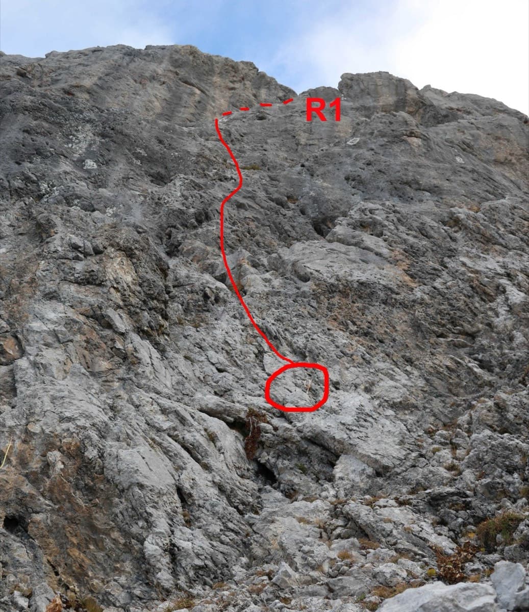
Start of Le sirop pour machin on the Pointe Percée, with the first pitch to belay R1 drawn in red

France · Aravis

Le sirop pour machin

An introduction to mountain multipitch that tops out right under the summit cross of the highest Aravis peak. Grippy fluted limestone is linked by cairned walking sections, and the last pitches are the best.

5b+11 pitches400 m

No photo yet

France · Aravis

Heididoune

A ten-pitch line to the summit of the Pointe Percée, the high point of the Aravis, following green hangers up the cool north-west face. Seven long pitches, mostly easy with a 6a+ wall, reach the notch of the Arête du Doigt; three independent pitches finish it, including a memorable slab traverse of 6b+ that can be aided on the bolts.

6b+10 pitches400 m

Read the cautions

Around 4b · about 16 pitches

Similar elsewhere

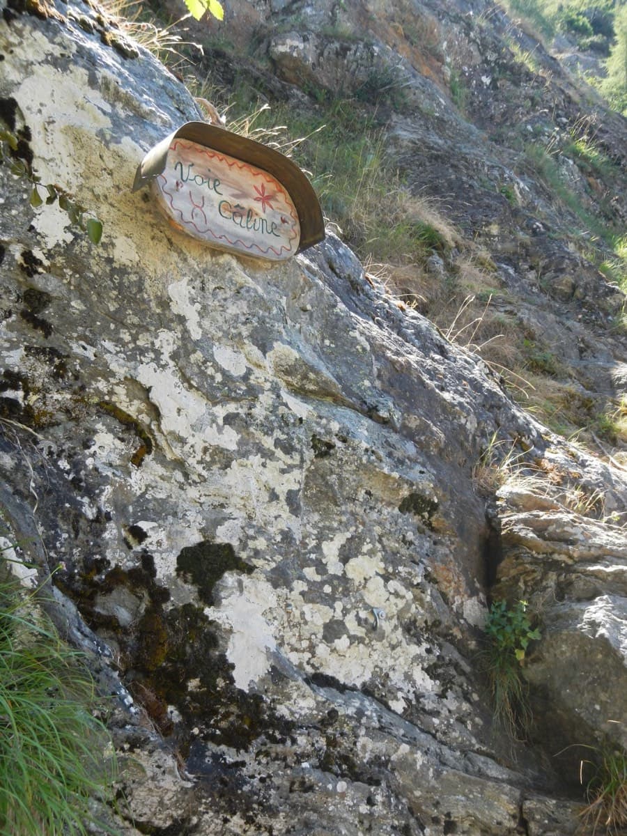
The painted sign marking the start of the Voie Câline on the Rocher des Mottets

France · Chamonix valley

Voie Câline

Nineteen very short pitches of easy slab above Les Bois, never harder than 4b and bolted like a climbing school. It is the standard first multipitch of the Chamonix valley, long enough to feel like a real outing and finishing at a mountain café with a view of the Mer de Glace.

4b19 pitches260 m

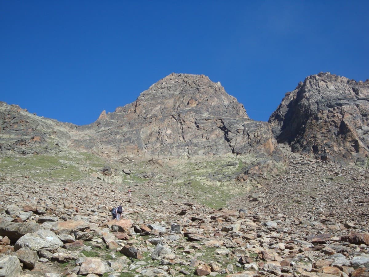
The south face of the Jegihorn seen from the approach path; Alpendurst climbs the middle of the face to the summit

Switzerland · Saas Valley

Alpendurst

Fourteen pitches of steady 4b and 4c on good gneiss that finish at the summit cross of a 3206 m peak, reached from a gondola. It is the best-known plaisir route on the Jegihorn, closely bolted with chained belays, and often climbed in mountain boots as a first long alpine rock route. Expect company: it is very busy in high summer.

4c14 pitches350 m

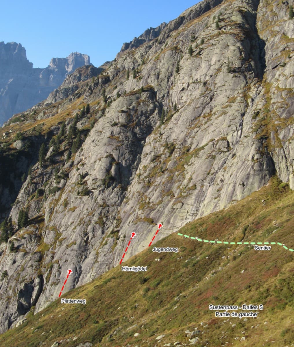
Left side of the Sustenpass south slabs with the starts of Plattenweg, Hörnligödel and Jugendweg marked

Switzerland · Susten

Jugendweg

Seven easy, unsustained pitches of edged slab on the left side of the Steingletscher slabs, never harder than 4b. The line is obvious and the glacier scenery is the main event. A good first multipitch, and easy to pair with a neighbouring route the same day.

4b7 pitches200 m

Looking down the dark gneiss slabs low on Nika, Speroni di Ponte Brolla

Switzerland · Ticino

Nika

The easy neighbour of Quarzader: seven pitches of gneiss slab and small steps up the right-hand spur above the Maggia, at 4b if you take the right-hand finish. Much quieter than Quarzader and very well bolted. Finish with a swim in the river.

4b7 pitches250 m

Compiled from published sources and last verified October 2026. Bolts, anchors and access change. Climbing is dangerous and you are responsible for your own decisions: check a current topo and read the disclaimer.