Switzerland · Ticino
Quarzader
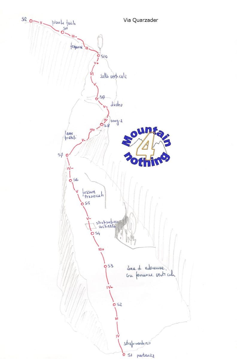
Slab pitches give way to a vertical wall threaded with quartz veins, which gives the route its name. It is shady in the morning, and the pitches are short (about 35 m), so 11 go quickly.
6a11 pitches400 m
Speroni di Ponte Brolla · Ticino · Switzerland
Easy to bailBolting confidence: high
The easy neighbour of Quarzader: seven pitches of gneiss slab and small steps up the right-hand spur above the Maggia, at 4b if you take the right-hand finish. Much quieter than Quarzader and very well bolted. Finish with a swim in the river.
The route
Nika climbs a wall about 50 m right of the main Ponte Brolla spur that carries Quarzader, just north of Locarno. It is seven pitches of slab, a vague crack, small steps and a pretty section on quartz veins near the crest of the spur. The last pitch has two variants: 5a on the left or 4b on the right, so the route goes at 4b throughout. It is very well bolted and sees far less traffic than Quarzader. The slab can feel disconcerting for the first few moves if you are new to gneiss friction.
The climbing
| Pitch | Grade | Notes |
|---|---|---|
| P1 | 4b | Slab. |
| P2 | 3c | A vague crack, then slab. |
| P3 | 4b | Slab and a small step. A 2016 report mentions an old fixed karabiner at this belay; the belays have since been re-equipped. |
| P4 | 3b | Obvious, close to the crest of the spur. |
| P5 | 4b | Continue on the crest, then a step on quartz veins. Very pretty. |
| P6 | 3c | Obvious. Traverse clearly left near the end to step onto a ledge; the belay is on the right. |
| P7 | 4b | The right-hand variant at 4b, which one party calls the best pitch of the route. The left-hand variant is 5a. |
Getting there
From Locarno follow the Valle Maggia road for about 4 km to Ponte Brolla. Continue past the level crossing to the suspension footbridge; park opposite the bridge or along the cantonal road. Parking is limited and one party calls it awkward. Ponte Brolla has good public transport from Locarno.
From the parking take a stepped path for about 50 m, then follow the sign 'sentiero di montagna'. After a few zigzags you reach an electricity pylon; take the path that heads clearly right, crossing a stream, to the foot of the spur. Nika is on a wall 50 m right of the spur proper, beyond a vague depression. It is the first route from the left on this wall, immediately left of Alpha and Omega, whose names are painted. About 20 minutes.
Loading map
The point marks the crag, not the exact start of the route.
Point from camptocamp waypoint 139810
Contains the route point. Opens in most mapping apps and GPS watches.
Points are compiled from published sources, with the precision stated above. They were not surveyed on the ground: check them against a current topo.
Coordinates: 46.18845, 8.75151 (crag)
Getting down
Two options. You can abseil the whole route: since the re-equipment every belay has two rings to thread. Or, as the Plaisir guidebook suggests, make two or three abseils from the top into the depression between the two spurs (left of the route as you climb), walk down it, cross to Quarzader on fixed cables and finish with one abseil of exactly 50 m to the foot of Quarzader. Parties call the gully option a bit rough but workable, and not one for children. The SAC portal recommends walking down via the Quarzader descent because the spurs are so busy.
Retreat
Easy to bail
You can abseil the route from any belay: each has two rings that take the rope directly. A 2020 party stopped at the third belay and went down without trouble. Stay on the line of the route when abseiling; moving across to neighbouring routes has cost parties a lot of time.
Safety
Sun and weather
West facing at low altitude (about 440 m at the base). The sun arrives around 11:30 to 12:00. Reports cover March, May, July and August; spring and autumn are the comfortable seasons, and in summer a north föhn can keep it cool. A few water streaks after rain do not get in the way.
Sun on the wall · W-facing
Working out the sunlit hours for this month.
Sun on the wallDaylight, wall in shade● Usual season
Estimated from the wall's aspect only. Ignores surrounding terrain, gullies and the wall's exact shape. Clock times are local to the wall (Central European time), for the 15th of each month.
| Measure | Jan | Feb | Mar (usual season) | Apr (usual season) | May (usual season) | Jun (usual season) | Jul | Aug | Sep (usual season) | Oct (usual season) | Nov (usual season) | Dec |
|---|---|---|---|---|---|---|---|---|---|---|---|---|
| Mean daily high °C | 6 | 7 | 11 | 14 | 19 | 23 | 25 | 25 | 20 | 16 | 10 | 6 |
| Mean daily low °C | −2 | −2 | 1 | 5 | 9 | 13 | 15 | 15 | 12 | 8 | 3 | −1 |
| Rain days 1 mm or more | 9 | 9 | 11 | 13 | 16 | 16 | 14 | 14 | 13 | 14 | 12 | 10 |
| Sunshine hours a day | 6.7 | 7.7 | 9.0 | 9.9 | 10.8 | 11.9 | 12.4 | 10.9 | 9.2 | 7.3 | 5.9 | 5.9 |
● marks the usual climbing season. Averages for 1991-2020 at about 432 m. Area climate from Open-Meteo reanalysis (about 10 km grid): the wall and valley can differ. Data: Open-Meteo, CC BY 4.0.
What to carry
Two 50 m ropes for the abseils. No source gives a quickdraw count; pitches are full length, so carry a normal sport multipitch rack of 12. Helmet. No cams or nuts needed.
Derived from the route data; check it against a current topo
From climbers
Reader reports are not being collected yet. Until they are, check a current topo and the local club or guidebook publisher for recent changes to Nika.
Worth knowing
Open questions
Provenance
Same area
Switzerland · Ticino
Slab pitches give way to a vertical wall threaded with quartz veins, which gives the route its name. It is shady in the morning, and the pitches are short (about 35 m), so 11 go quickly.
6a11 pitches400 m
Around 4b · about 7 pitches
Switzerland · Susten
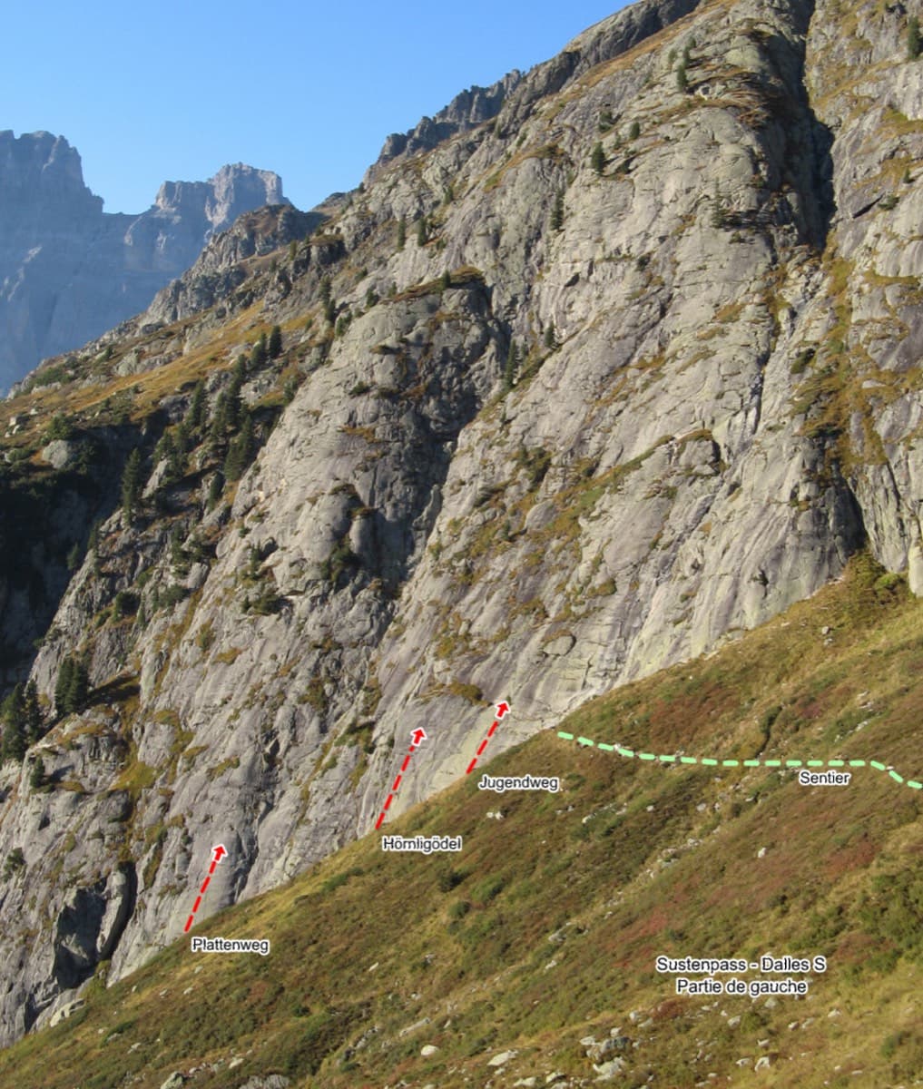
Seven easy, unsustained pitches of edged slab on the left side of the Steingletscher slabs, never harder than 4b. The line is obvious and the glacier scenery is the main event. A good first multipitch, and easy to pair with a neighbouring route the same day.
4b7 pitches200 m
Spain · Riglos & Agüero (Mallos)
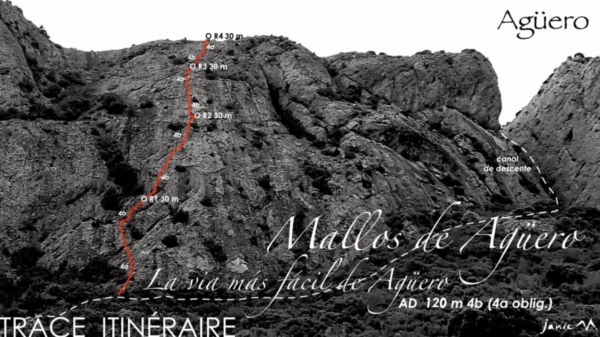
The name is accurate: four even pitches of 4a to 4b up a gently angled conglomerate spur, with a bolt every few metres. Made for a first multipitch or a first lead, and it finishes on top of the Agüero massif. Combine it with Tierra de Naide or Tierra de Todos on the same face.
4b4 pitches120 m
Italy · Bolzano & South Tyrol
The easy classic of the Noafer Bichl: slabs, a neat corner and two pitches up a pocketed pillar edge, with Bolzano below and the Dolomites on the horizon. Grade 4 climbing throughout, but with some long gaps between bolts on the easy ground.
4c7 pitches280 m
Read the cautions
Switzerland · Grimsel
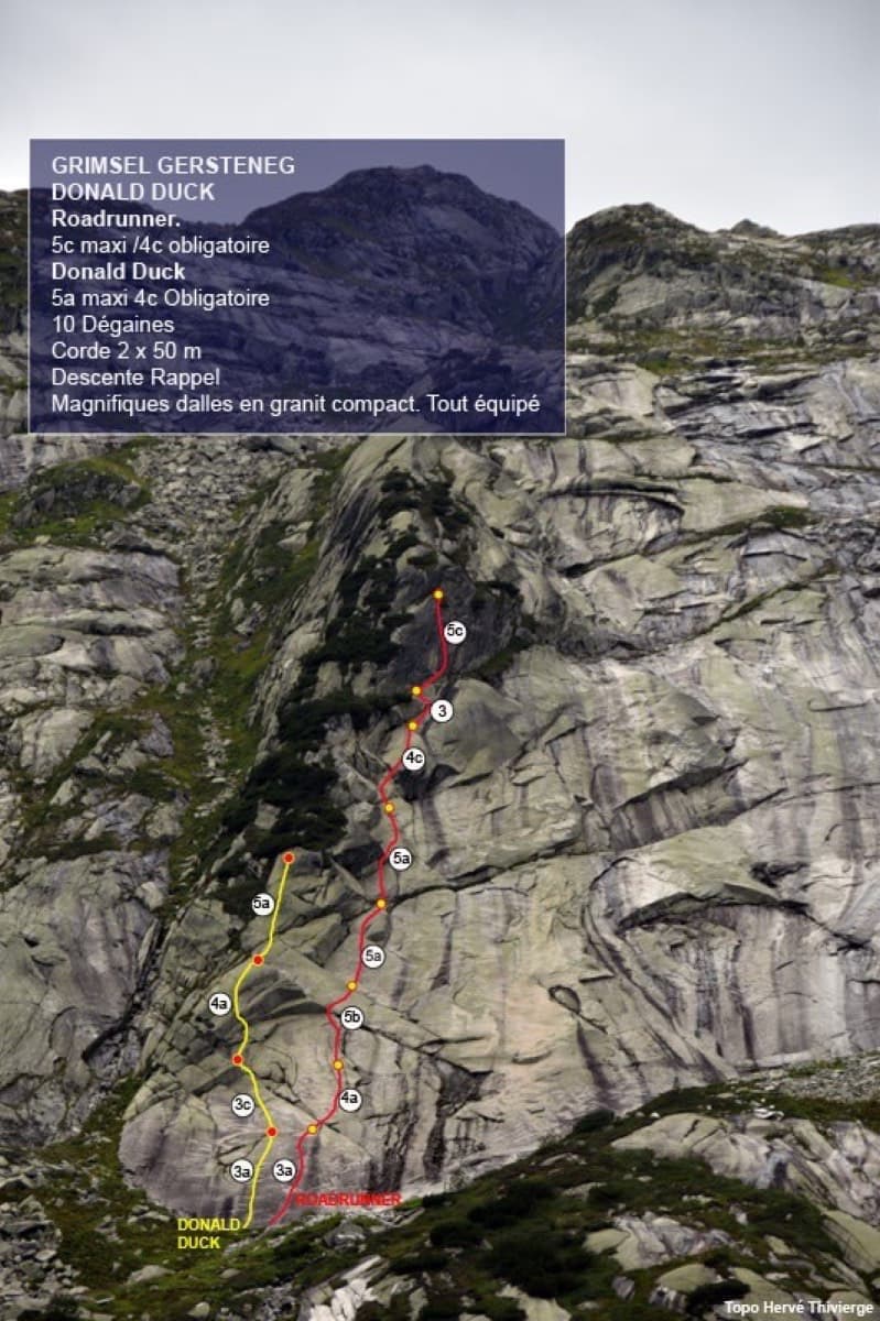
Seven pitches of smooth, low-angle Grimsel granite, almost all pure friction, with two short steeper steps. Technically easy, but you have to trust your feet. A gentle introduction to Grimsel slab and to multipitch rope work.
4c7 pitches200 m
Compiled from published sources and last verified October 2026. Bolts, anchors and access change. Climbing is dangerous and you are responsible for your own decisions: check a current topo and read the disclaimer.