Switzerland · Grimsel
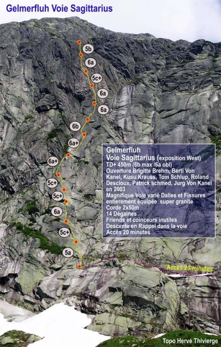
Sagittarius
A Grimsel granite classic: low-angle slabs lead to the famous 6a+ crack pitches and a thin 6b traverse, then steeper, sculpted ground. Sustained at 5c/6a throughout.
6b13 pitches400 m
Gerstenegg – Donald Duck slab (Räterichsbodensee) · Grimsel · Switzerland
Easy to bailBolting confidence: medium
Seven pitches of smooth, low-angle Grimsel granite, almost all pure friction, with two short steeper steps. Technically easy, but you have to trust your feet. A gentle introduction to Grimsel slab and to multipitch rope work.
The route
Roadrunner climbs the left end of a long, low-angle granite slab at Gerstenegg, above the Räterichsbodensee dam on the Grimsel Pass road. It is seven pitches, four of them 4c, almost entirely on friction with two short steeper steps. The climbing is easy for anyone used to slab, but there are few positive holds, so first-time slab climbers find it unsettling. Parties call it a good place to practise rope work and to find out what Grimsel slab feels like, and some find it a little monotonous. You abseil the route.
The climbing
| Pitch | Grade | Notes |
|---|---|---|
| P1 | 3a | Easy slab. |
| P2 | 3c | Slab. |
| P3 | 4c | Friction slab. |
| P4 | 4c | Friction slab. |
| P5 | 4c | Friction slab. |
| P6 | 4c | Friction slab. |
| P7 | 3c | Easier slab to the last belay. A further optional pitch of 5c exists above (2018 report and the photo-topo). |
Getting there
The Grimsel Pass road runs from Innertkirchen (Meiringen side) over to Gletsch in Valais and is open roughly from late May or June to October. Park at the foot of the Räterichsbodensee dam, or at Chüenzentennlen (1596 m) about 1 km below it. A postbus runs from June to October. Lodging is at the Hotel Handegg or in Innertkirchen.
From the parking at the foot of the dam take the Bächlihütte path, which climbs south-west. When you reach a small canalised stream, follow it west for about 300 m. You pass below a slab about 100 m high with bolted routes (Azalée Beach), then reach a second, low-angle slab that goes on for hundreds of metres. The start is at the far left (south) end of this slab, by a steel rod cemented into the rock. Two routes of similar difficulty start here: the left one (Donald Duck) has 4 pitches, Roadrunner is the right one. About 20 minutes.
Loading map
The point marks the crag, not the exact start of the route.
Parking
Räterichsbodensee dam (camptocamp waypoint 133701)
Point from camptocamp waypoint 475853
Contains the route point and parking. Opens in most mapping apps and GPS watches.
Points are compiled from published sources, with the precision stated above. They were not surveyed on the ground: check them against a current topo.
Coordinates: 46.59044, 8.31553 (crag) · Parking: 46.59062, 8.32794
Getting down
Abseil the route from the equipped belays. Because the slab is so low-angled, the ropes do not run cleanly and the abseils are slower and fiddlier than on a steep wall.
Retreat
Easy to bail
Abseiling the route is the normal descent and the belays are equipped for it, so you can retreat from any belay. On such a low-angle slab the ropes need careful handling. If rain is coming, go down early: the slab becomes a water slide.
Safety
Sun and weather
East facing at about 1800 to 1950 m. In hot weather climb in the afternoon, when the slab is in shade; in cool weather go in the morning. The slab is reported to dry quickly. A late October party found it dry but cold.
Sun on the wall · E-facing
Working out the sunlit hours for this month.
Sun on the wallDaylight, wall in shade● Usual season
Estimated from the wall's aspect only. Ignores surrounding terrain, gullies and the wall's exact shape. Clock times are local to the wall (Central European time), for the 15th of each month.
| Measure | Jan | Feb | Mar | Apr | May | Jun (usual season) | Jul (usual season) | Aug (usual season) | Sep (usual season) | Oct (usual season) | Nov | Dec |
|---|---|---|---|---|---|---|---|---|---|---|---|---|
| Mean daily high °C | −3 | −1 | 2 | 5 | 9 | 14 | 17 | 17 | 13 | 8 | 2 | −2 |
| Mean daily low °C | −8 | −8 | −5 | −2 | 2 | 6 | 8 | 9 | 5 | 1 | −4 | −8 |
| Rain days 1 mm or more | 14 | 12 | 15 | 15 | 18 | 19 | 20 | 18 | 15 | 14 | 15 | 15 |
| Sunshine hours a day | 6.4 | 7.5 | 9.0 | 10.3 | 10.8 | 11.5 | 12.0 | 10.7 | 9.3 | 8.0 | 6.3 | 5.7 |
● marks the usual climbing season. Averages for 1991-2020 at about 1777 m. Area climate from Open-Meteo reanalysis (about 10 km grid): the wall and valley can differ. Data: Open-Meteo, CC BY 4.0.
What to carry
8 quickdraws (the photo-topo says 10) and two 50 m ropes. Helmet.
Derived from the route data; check it against a current topo
From climbers
Reader reports are not being collected yet. Until they are, check a current topo and the local club or guidebook publisher for recent changes to Roadrunner.
Worth knowing
Open questions
Provenance
Same area
Switzerland · Grimsel
A Grimsel granite classic: low-angle slabs lead to the famous 6a+ crack pitches and a thin 6b traverse, then steeper, sculpted ground. Sustained at 5c/6a throughout.
6b13 pitches400 m
Switzerland · Grimsel
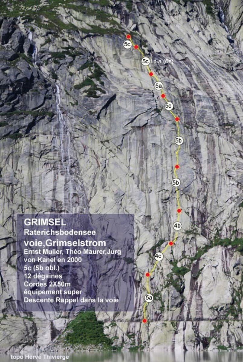
Glacier-polished slabs straight above the Räterichsboden dam. Four warm-up pitches lead to sustained 5b–5c slab and a short fissured roof (6a or A0).
6a11 pitches220 m
Read the cautions
Switzerland · Grimsel
A short, varied granite route up a pale, smooth pillar across the valley from the Handegg slabs: a corner crack, then friction and edge slabs that get harder pitch by pitch. Grades are stiff, and the last pitch is sustained and tricky. A good half day or uncertain-weather route with a 15-minute approach.
6a5 pitches200 m
Switzerland · Grimsel
Fourteen pitches up the Gelmerfluh next to Sagittarius, and by several accounts the better route: a knife-cut flake, a finger-to-hand crack worthy of Chamonix, corners, a pendulum and Grimsel slab, then easier quartz-veined walls to the top. Mostly 5c to 6a, with two short slab cruxes that almost everyone aids.
6c+14 pitches400 m
Around 4c · about 7 pitches
Italy · Bolzano & South Tyrol
The easy classic of the Noafer Bichl: slabs, a neat corner and two pitches up a pocketed pillar edge, with Bolzano below and the Dolomites on the horizon. Grade 4 climbing throughout, but with some long gaps between bolts on the easy ground.
4c7 pitches280 m
Read the cautions
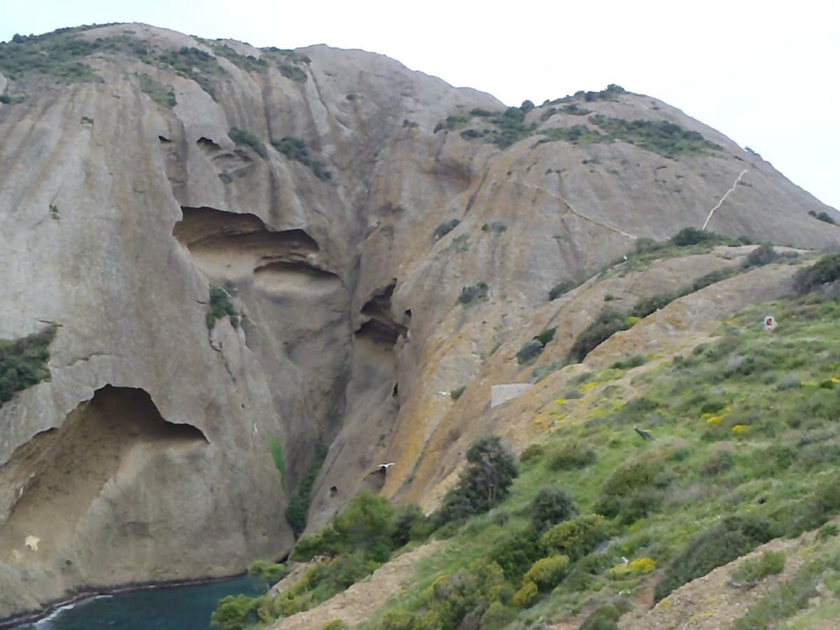
France · Calanques
An oddity: easy slabs and a long water-worn runnel up a dome of puddingstone above the sea, reached by abseiling into a cove from the Mugel park. The climbing is grade 3 and 4 on surprisingly solid pebbles. It was fully rebolted in 2024 and is a popular first multipitch.
4c6 pitches220 m
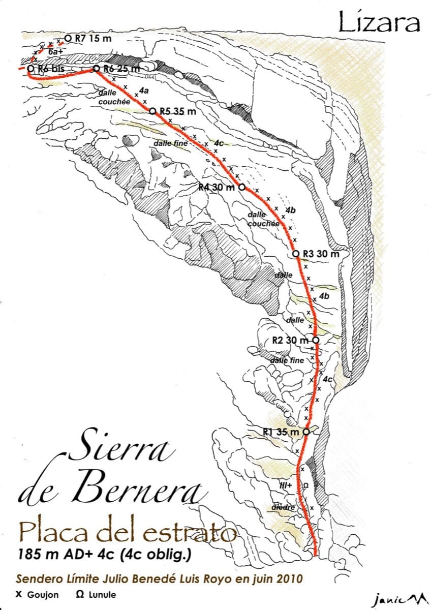
Spain · Western Aragonese Pyrenees (Lizara)
Six pitches of easy limestone slab up the great folded stratum above the Lizara refuge, parallel to the unbolted Chimenea del Estrato. Friction and small edges at 4b to 4c, with runnels on the upper pitches, in a high pasture setting. A mountain day at a beginner's grade, with an hour's walk in.
4c6 pitches185 m
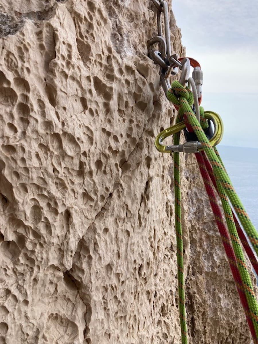
Italy · Sardinia
The easiest line on the Capo Caccia sea cliff: six pitches of 4b to 4c on pocketed, sharply sculpted limestone above the open sea. You abseil in from the top and climb out. The first two pitches are vegetated; the climbing proper starts on the pitch 3 slab.
4c6 pitches145 m
Read the cautionsCommitting
Compiled from published sources and last verified October 2026. Bolts, anchors and access change. Climbing is dangerous and you are responsible for your own decisions: check a current topo and read the disclaimer.