Switzerland · Grimsel
Sagittarius
A Grimsel granite classic: low-angle slabs lead to the famous 6a+ crack pitches and a thin 6b traverse, then steeper, sculpted ground. Sustained at 5c/6a throughout.
6b13 pitches400 m
Gelmerfluh · Grimsel · Switzerland
Easy to bailBolting confidence: high
Fourteen pitches up the Gelmerfluh next to Sagittarius, and by several accounts the better route: a knife-cut flake, a finger-to-hand crack worthy of Chamonix, corners, a pendulum and Grimsel slab, then easier quartz-veined walls to the top. Mostly 5c to 6a, with two short slab cruxes that almost everyone aids.
The route
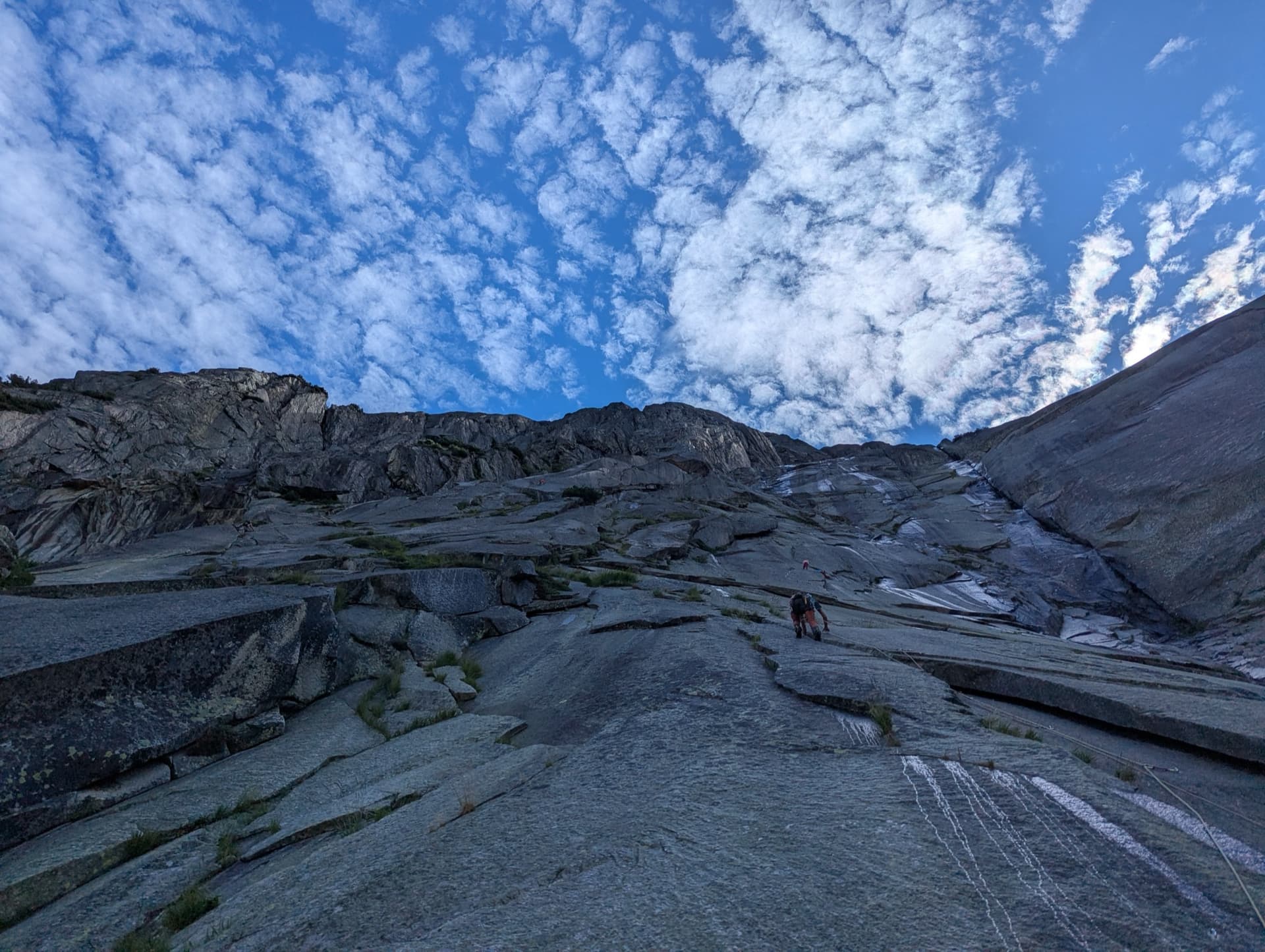
Savoir Vivre climbs the west-facing Gelmerfluh above the Grimsel Pass road, immediately right of Sagittarius. The first eight pitches are the heart of it: a detached flake, a slab, a curving crack that widens from fingers to hands, a corner, a small roof and more cracks, all on perfect granite. Above, six easier pitches of 5a to 5c+ follow quartz veins on slightly less solid rock. Two short slab passages are 6c and 6c+ free, but both are equipped to be pulled through at A0, and the first is usually wet. Since the 2018 rebolt the route is generously bolted, cracks included, and the obligatory grade is about 6a.
In pictures
The climbing
| Pitch | Grade | Length | Notes |
|---|---|---|---|
| P1 | 6c | 35 m | Easy slab (4c) to the right, then a steep technical slab called Ice Age: 6c free, or about 6a with A0 pulling on the bolts. It is wet more often than not. |
| P2 | 4c | 20 m | Slab straight above to a chained belay. Pitches 1 and 2 together are a little over 50 m. |
| P3 | 5b | 25 m | The Hollow Flake: a superb layback up a big detached flake, then a hand crack, a slab move right and another flake. Chained belay. |
| P4 | 6a | 25 m | Slab on small footholds to a little roof, climbed direct, with a friction crux just above. Step left or right of the bolt line as needed. |
| P5 | 6b | 25 m | The Kurvenriss: a technical corner with a hard exit, then a thin crack that widens from fingers to hands. The best pitch. Chained belay. |
| P6 | 6a | 20 m | A hard move to reach the corner, then a very fine corner climbed on jams. |
| P7 | 6c+ | 25 m | Slab and crack, then a very thin slab traverse towards a huge detached flake: 6c+ free, or 6a with A0 using the bolt for a small pendulum (the Hasli Swing). Layback or squeeze up the wide crack behind the flake, then slab. Chained belay. |
| P8 | 6a | 25 m | Niels Crack: a small roof on good holds with a jamming crack, then varied cracks and a corner with a strenuous move midway. Some rate it 6a+ and the most sustained pitch. Chained belay. |
| P9 | 5c | 30 m | Traverse right towards the gully, then straight up a featured slab. A slightly odd transition pitch. Chained belay. |
| P10 | 5c | 30 m | Up a quartz vein, a little steeper. Chained belay. |
| P11 | 5c+ | 30 m | The same style but more technical, with fewer holds: a crux at the start, a short steep passage escaping left, and slab to finish. Chained belay. |
| P12 | 5c | 20 m | A short traverse right on fine flakes. The belay is hidden well to the right. |
| P13 | 5b+ | 30 m | The quartz fades. A steep rising line left on pinches and rounded cracks, then the angle eases. Chained belay. |
| P14 | 5a | 35 m | A long, well-featured slab pitch to the top belay. Chained. |
Getting there
On the Bernese side of the Grimsel Pass road, between Handegg and the Räterichsbodensee dam. Park at Chüenzentennlen (1596 m), just below the hairpins under the dam and before the tunnel; the postbus stops at the parking in season. The pass road is open from about late May or June to October. Lodging at the Hotel Handegg or in Innertkirchen.
Take the obvious path from the parking towards the wall. Where the path starts to run along the foot of the cliff, take the big ledge that rises diagonally left and follow it to its end, where going higher would mean climbing. The bolts are slightly left of a small stream and the names of both routes are painted on the rock; Savoir Vivre is the one on the right. 20 minutes. The ledge has a few exposed steps that need care when wet.
Loading map
The point marks the crag, not the exact start of the route.
Parking
Chüenzentennlen (camptocamp waypoint 183010)
Point from camptocamp waypoint 231311
Contains the route point and parking. Opens in most mapping apps and GPS watches.
Points are compiled from published sources, with the precision stated above. They were not surveyed on the ground: check them against a current topo.
Coordinates: 46.59879, 8.33327 (crag) · Parking: 46.59839, 8.32478
Getting down
Abseil the route, using only the linked (chained) belays; you can also descend Sagittarius. A 2024 party went 14 to 13, 13 to 11, 11 to 10, 10 to 9 and 9 to 8, then 8 to 6 and 6 to 4 (each under 50 m, on two glue-in bolts without a chain), 4 to 2 (about 55 m) and 2 to the ground (50 m). With 50 m ropes the abseil from belay 4 does not reach belay 2: they stopped on the first bolts of pitch 3. Allow 1.5 to 1.75 hours.
Retreat
Easy to bail
Abseiling the route is the normal descent and most belays are chained, so you can retreat from any of them. Below belay 8 use the sequence 8, 6, 4, 2, ground; with 50 m ropes the 4 to 2 abseil is a few metres short and needs an intermediate stop on the bolts of pitch 3. Watch for stones from parties above.
Safety
Sun and weather
West facing between about 1750 and 2150 m. The sun reaches the face between 11:00 and 12:00, so mornings are cold, and on 1 October the approach was icy. The 6c slab at the end of pitch 1 is wet most of the time and often unclimbable free; seeps on pitches 3 and 4 are less of a problem. Snow can lie at the base in spring.
Sun on the wall · W-facing
Working out the sunlit hours for this month.
Sun on the wallDaylight, wall in shade● Usual season
Estimated from the wall's aspect only. Ignores surrounding terrain, gullies and the wall's exact shape. Clock times are local to the wall (Central European time), for the 15th of each month.
| Measure | Jan | Feb | Mar | Apr | May | Jun | Jul (usual season) | Aug (usual season) | Sep (usual season) | Oct | Nov | Dec |
|---|---|---|---|---|---|---|---|---|---|---|---|---|
| Mean daily high °C | −3 | −1 | 2 | 5 | 9 | 14 | 17 | 17 | 13 | 8 | 2 | −2 |
| Mean daily low °C | −8 | −8 | −5 | −2 | 2 | 6 | 8 | 9 | 5 | 1 | −4 | −8 |
| Rain days 1 mm or more | 14 | 12 | 15 | 15 | 18 | 19 | 20 | 18 | 15 | 14 | 15 | 15 |
● marks the usual climbing season. Averages for 1991-2020 at about 1777 m. Area climate from Open-Meteo reanalysis. Temperatures are adjusted to the height of the crag; rain comes from a grid cell of about 10 to 25 km, and summer highs on sea cliffs can read a few degrees low. The wall and valley can differ. Data: Open-Meteo, CC BY 4.0.
What to carry
14 quickdraws (13 if you do not link pitches) and two 50 m ropes. Helmet. Camptocamp lists cams 0.3, 0.75 and 1 as possibly useful on pitches 5 and 8; parties with a margin at the grade say none are needed, and those who carried them placed one or two. A sling to stand in helps on the A0 moves.
Derived from the route data; check it against a current topo
From climbers
Reader reports are not being collected yet. Until they are, check a current topo and the local club or guidebook publisher for recent changes to Savoir Vivre.
Worth knowing
Open questions
Provenance
Same area
Switzerland · Grimsel
A Grimsel granite classic: low-angle slabs lead to the famous 6a+ crack pitches and a thin 6b traverse, then steeper, sculpted ground. Sustained at 5c/6a throughout.
6b13 pitches400 m
Switzerland · Grimsel
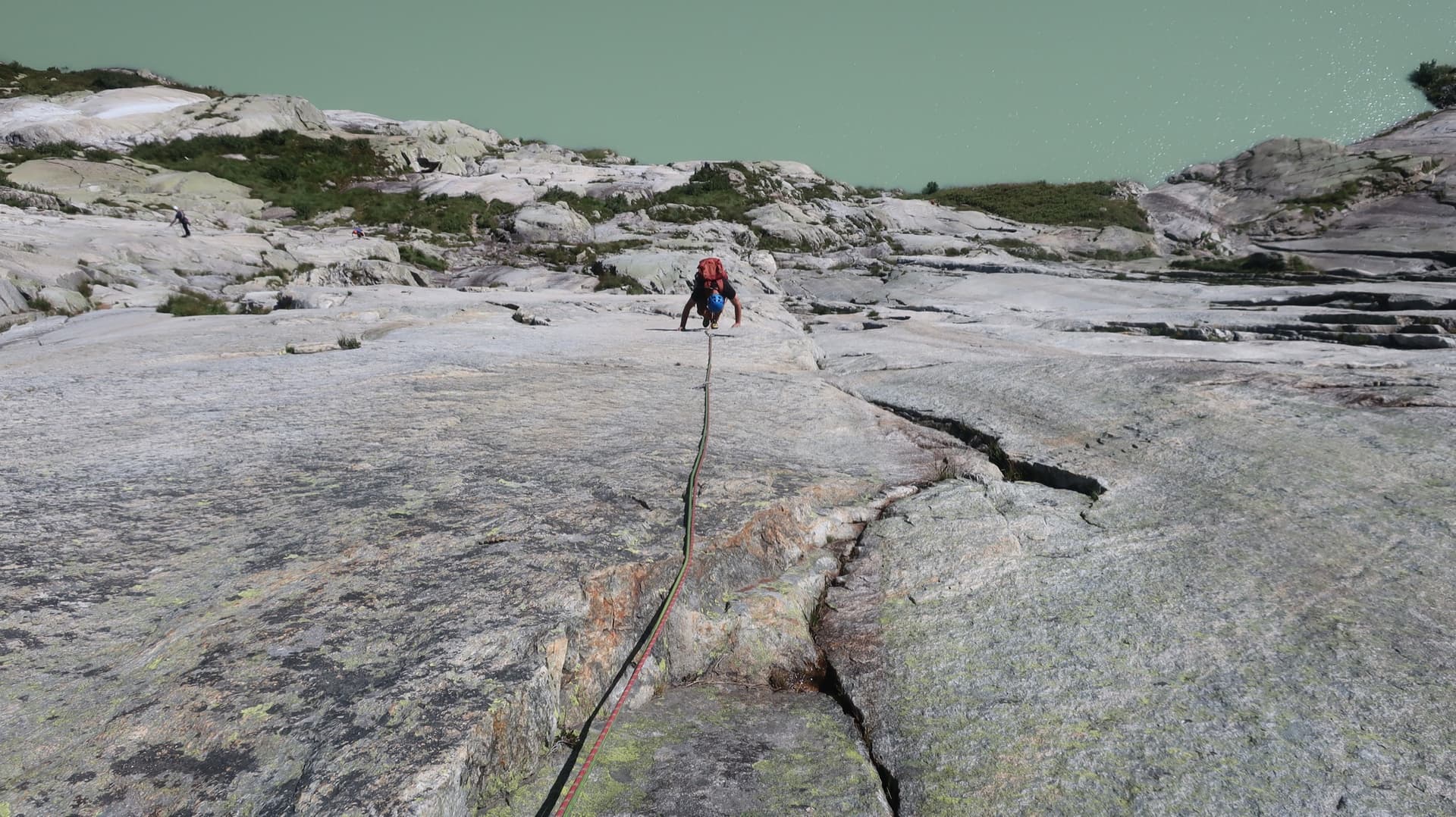
Glacier-polished slabs straight above the Räterichsboden dam. Four warm-up pitches lead to sustained 5b–5c slab and a short fissured roof (6a or A0).
6a11 pitches220 m
Read the cautions
Switzerland · Grimsel
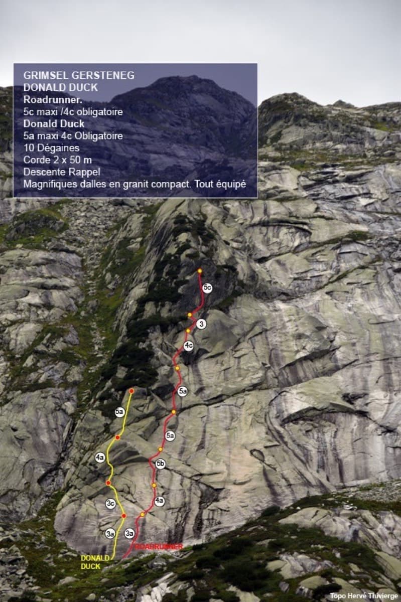
Seven pitches of smooth, low-angle Grimsel granite, almost all pure friction, with two short steeper steps. Technically easy, but you have to trust your feet. A gentle introduction to Grimsel slab and to multipitch rope work.
4c7 pitches200 m
Switzerland · Grimsel
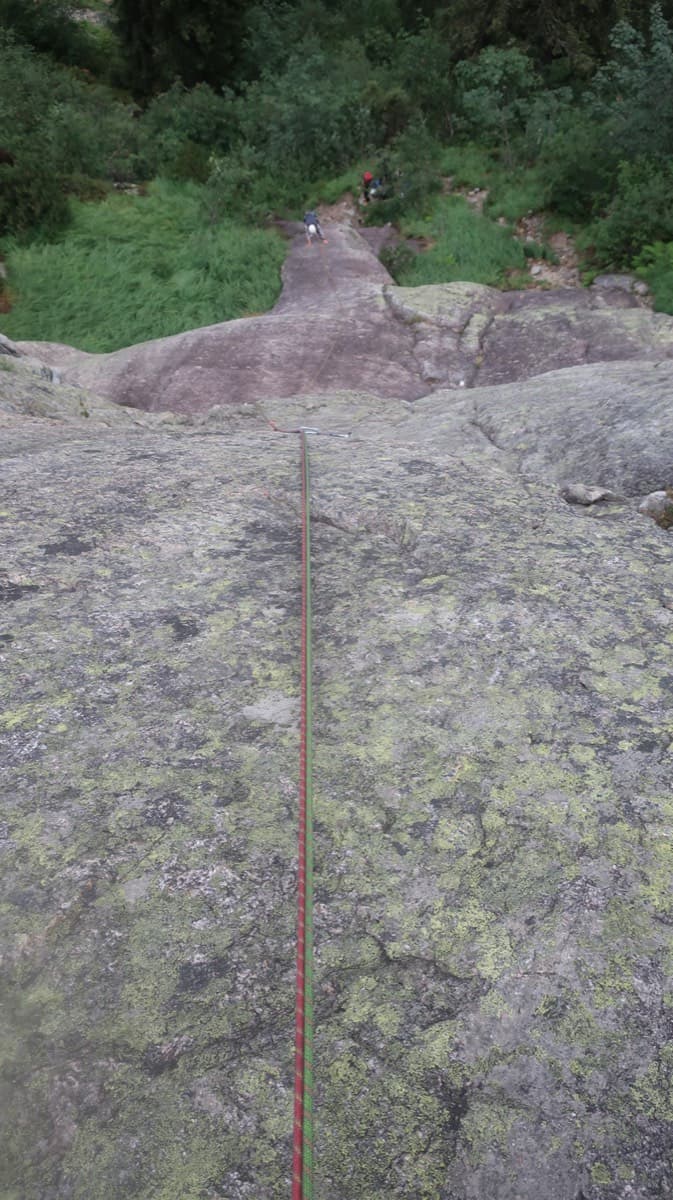
A short, varied granite route up a pale, smooth pillar across the valley from the Handegg slabs: a corner crack, then friction and edge slabs that get harder pitch by pitch. Grades are stiff, and the last pitch is sustained and tricky. A good half day or uncertain-weather route with a 15-minute approach.
6a5 pitches200 m
Around 6c+ · about 14 pitches
France · Dévoluy
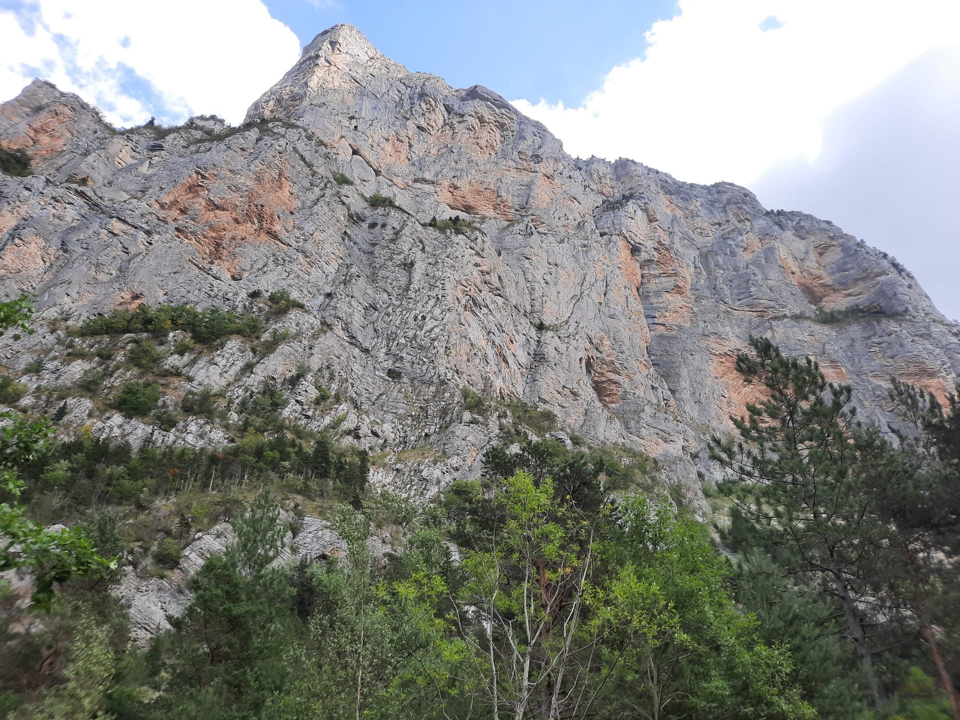
A recent line that has quickly become the friendly way to discover Les Gillardes: 350 m of vertical walls on flint edges, with fair grades and reassuring bolts on a cliff known for neither. Long, continuous pitches of 6b and 6b+, one of 6c, and a conglomerate finish.
6c13 pitches350 m
France · Briançonnais
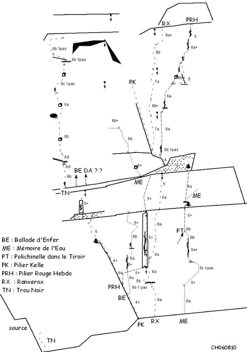
One of the most admired lines on the Tête d'Aval: eleven sustained pitches, first up steep cracks and walls, then across orange limestone studded with small spikes. The grade is 6c with a 6c+ passage that has a fixed sling for aid, and 6b is obligatory. Parties advise being comfortable at 6c, because the bolting is sound but not generous.
6c+11 pitches300 m
Read the cautions
Spain · Aragonese Pyrenees (Tena & Canfranc valleys)
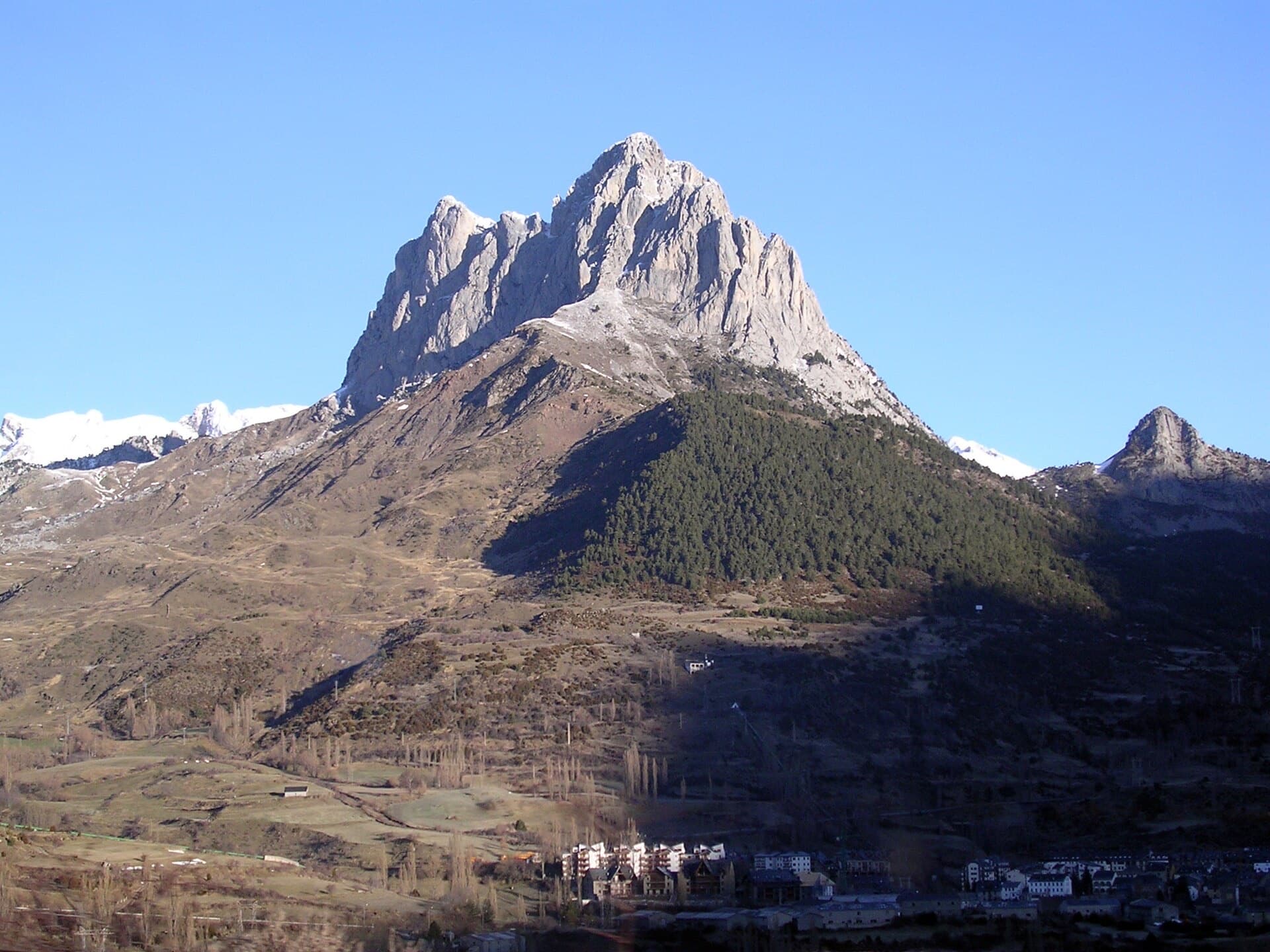
A big, fully bolted mountain route straight up the middle of a wall of the Peña Foratata to its summit. Three technical corner pitches at 6b+ low down and a 6b and a 6a above the grass terrace, separated by easy transition pitches. Short pitches by design, a long descent, and a seasonal closure for bearded vultures until the end of July.
6b+14 pitches420 m
Read the cautions
Spain · El Chorro
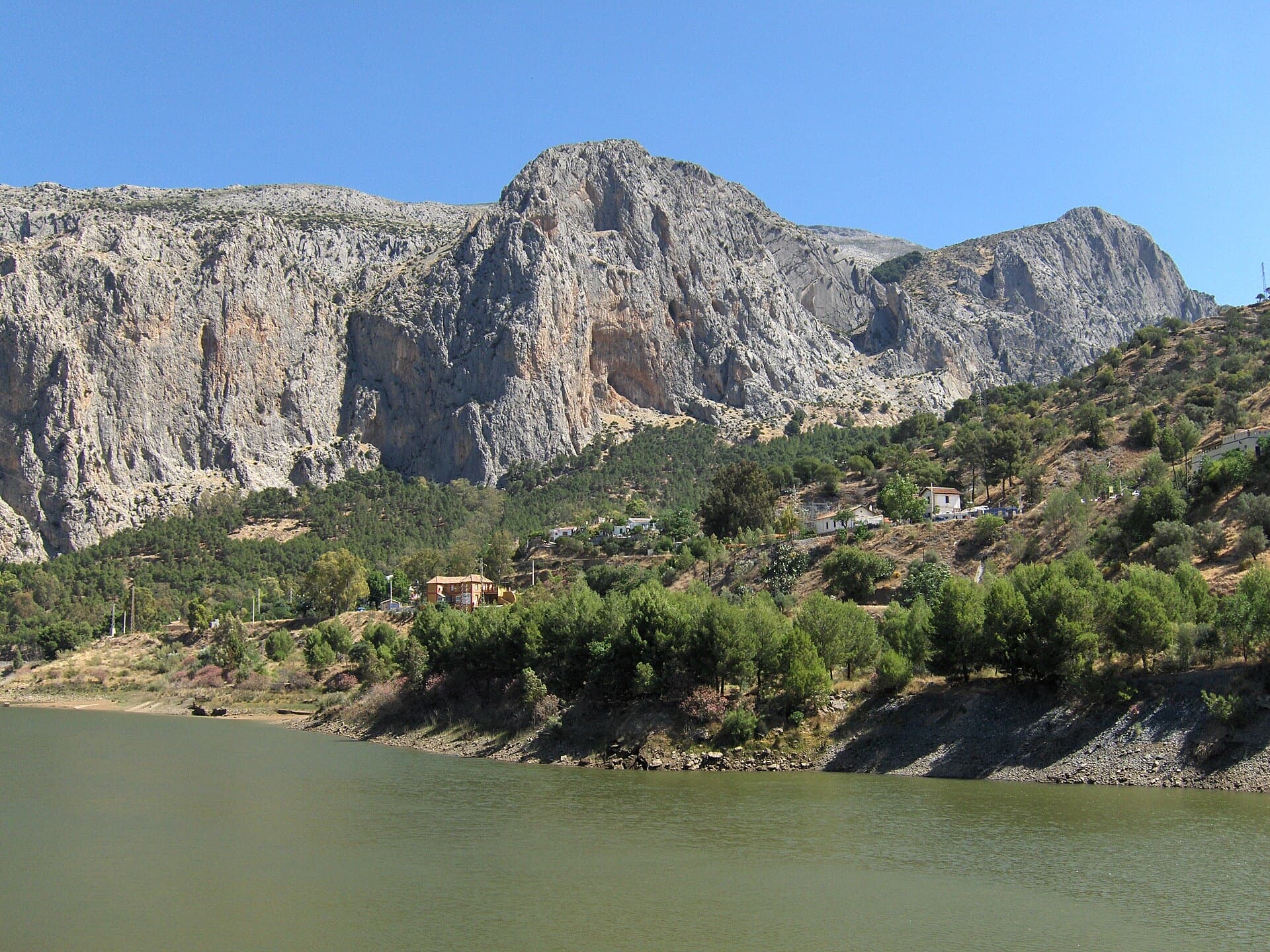
A twelve-pitch line to the top of the Frontales face, starting right of the big Poema de Roca cave. The hard pitches are short, bouldery and athletic; the upper half turns to technical water-pocket climbing. One party found it less coherent than its neighbours but worth it for the summit.
7a12 pitches300 m
Read the cautions
Compiled from published sources and last verified October 2026. Bolts, anchors and access change. Climbing is dangerous and you are responsible for your own decisions: check a current topo and read the disclaimer.