Multipitch Atlas

Vía Anzas

Peña Foratata, Sallent de Gállego · Aragonese Pyrenees (Tena & Canfranc valleys) · Spain

Read the cautionsBail with caveatsBolting confidence: medium

A big, fully bolted mountain route straight up the middle of a wall of the Peña Foratata to its summit. Three technical corner pitches at 6b+ low down and a 6b and a 6a above the grass terrace, separated by easy transition pitches. Short pitches by design, a long descent, and a seasonal closure for bearded vultures until the end of July.

The Peña Foratata above Formigal and the Tena valley (general view of the peak, not of the route's wall)Photo: david lavie · CC BY-SA 3.0

Photo

The Peña Foratata above Formigal and the Tena valley (general view of the peak, not of the route's wall)Photo: david lavie · CC BY-SA 3.0
Hardest pitch
6b+
Pitches
14
Length
420 m
Approach
75 min
Aspect
–
Not recorded
Rope
2×40 m or 1×80 m
Read before you go

Fully bolted and well protected, but a long mountain route with a serious descent, a seasonal closure, and belays that were joined with cord when last documented in 2017.

The route

Overview

Named in memory of Antonio Antoñanzas, a friend of the opening team, this route takes a fairly direct line from the lowest point of the wall to the summit, cut at two-thirds height by the grass terrace that crosses the face. The openers pick out pitches 1, 3, 4 and 6 as the best: sustained, technical corners, with the 6b+ moves not continuous. Pitches 5, 9, 10 and 11 are also good; the rest are transition pitches on poorer rock, which one commenter felt were too many. The obligatory grade is 5+ to 6a. Expect 4 to 6 hours of climbing and a full mountain day with the approach and descent.

The climbing

Pitch by pitch

Pitches of Vía Anzas
PitchGradeLengthNotes
P16a30 mA corner; one of the four pitches the openers rate most highly.
P2435 mEasy transition pitch (IV on the topo).
P36b+25 mA sustained, technical corner. The 6b+ is not continuous.
P46b+25 mA second technical corner in the same style.
P55+30 mV+ on the topo; singled out as a pleasant pitch.
P66b+40 mThe longest hard pitch, another corner: this is the pitch that needs 22 quickdraws. The topo marks a plaque near the belay.
P7330 mTransition (III).
P84+25 mIV+ on the topo.
P95a40 mV on the topo, ending on the grass terrace at belay R9, where the route crosses the normal path up the peak. Walk about 20 m along the terrace to belay R9 bis.
P106b30 mThe first pitch above the terrace; the topo marks the 'Placa Anzas', the memorial plaque, beside it.
P116a30 mRated a good pitch by the openers. The belay is marked as a tree on their topo.
P12430 mIV on the topo.
P135a30 mV on the topo.
P144+20 mIV+ to the top, almost on the summit.

Getting there

Approach

To the parking

Base is Formigal (Sallent de Gállego), on the Spanish side of the Portalet pass. Drive to the top of the village via Avenida de los Pirineos, Plaza de Austria and Calle Zaragoza into Calle Jaca, and park by the sports and play area there. The descent brings you back to the same place, behind the Hotel HG Alto Aragón.

On foot · about 75 min

1 h to 1 h 15. From the end of Calle Jaca a track passes a cattle gate and ends in a meadow. On the left of the meadow take the path with blue and white marks and follow it uphill to a buttress that rises to the base of the Peña; the path runs along its crest. When you are nearly at the wall, at a cairn, go diagonally down left across a slope on somewhat unstable ground, then roughly level, following cairns for about 10 min to the start. The name 'Anzas' is painted on the rock.

Finding the route · 2 photos

  • OverviewPeña Foratata seen from the Calle Foratata parking at the top of Formigal (October 2024, taken on a La Joya del Gállego day; Anzas uses the same walk-in).Photo: janic · CC BY-NC-ND 3.0
  • Walk-inThe walls of Peña Foratata from close up during the walk-in along the spur (October 2024, from a La Joya del Gállego outing on the shared approach).Photo: janic · CC BY-NC-ND 3.0

Approach photo

Map of the walk-in

  • Crag
  • Parking

Loading map

The point marks the crag, not the exact start of the route.

Coordinates · crag

42.78817, -0.34565

Parking

42.77928, -0.35859

Formigal village (camptocamp waypoint 1186548)

Point from camptocamp waypoint 43678

For your phone or watch

Download GPX

Contains the route point and parking. Opens in most mapping apps and GPS watches.

Points are compiled from published sources, with the precision stated above. They were not surveyed on the ground: check them against a current topo.

Getting down

Descent

About 2 hours; the Foratata has no easy way down and every option involves scrambling. The usual choice: from the summit go down right on the well-cairned descent path with red marks to a set of fixed-rope handrails, which you down-climb or abseil. These lead to the grass terrace; follow it to the col between the two summits of the Foratata, cross it and take the obvious path, scree at first, to the path on the south side that runs through meadows straight to Formigal. The openers' blog shows three options, including a south gully (Canal Sur) reached from the grass terrace, useful when snow lingers on the north side. Passages marked grade II are, in the opener's view, nearer III. Beware of loose stones.

Retreat

Bailing off the route

Bail with caveats

The route can be abandoned at the grass terrace after pitch 9, where it crosses the normal route's path. Below that, abseiling is not described; each belay had one ring in 2017, and the pitches are 25 to 40 m with easy traversing pitches between the steep ones.

Retreat from
The grass terrace at R9 (walk off along the normal route). Lower down, by abseil from the belay rings (not described by any source).
Point of no return
None stated. Above the terrace, the top is five pitches away and is the start of the normal descent.
Carry
Two ropes of at least 40 m, and maillons and cord, since belays were single-ring with cord links when published.
Basis
Part stated, part inferredThe escape at pitch 9 is stated by Guara Vertical and shown on the opener's topo; abseil retreat from lower down is inferred from the belay description.

Partly inferred from the route facts

Safety

Hazards

  • Seasonal closure for bearded vulture nesting, 1 December to 31 July.
  • A long, scrambling descent with loose stones, fixed ropes and abseil stations.
  • Transition pitches on poorer rock.
  • Belays were left in 2017 with one ring and one plain hanger joined by cord, and threads tied with cord; a commenter pointed out that cord does not last in that environment. Their current state is not documented.
  • Fourteen pitches and a two-hour descent make a long day: start early.

Sun and weather

Conditions

A high route on a peak of 2,341 m. Climbing on this wall is restricted every year from 1 December to 31 July to protect bearded vultures (the restriction can be lifted early if the birds do not nest; check montanaregulada.org). Early in the season, until late May or early June, snow can remain on the upper pitches and on the north-side descent. In practice the season is August to October.

Usual season · Aug to Oct

Sun on the wall

No estimate: the wall's aspect is not recorded for this route.

Climate figures for Aragonese Pyrenees (Tena & Canfranc valleys) are not available yet

What to carry

Gear

22 quickdraws for pitch 6. Double or single rope: the openers set every belay within 40 m, so 2×40 m or a single 80 m works. Slings to back up belays. Helmet.

Checklist

Quickdraws
22
Rope
2×40 m or 1×80 m
Helmet
One each
Abseil device and prusik
The descent or the retreat involves abseiling
Maillons or spare karabiners
To leave behind if you retreat
Cord
Mentioned for retreat

Derived from the route data; check it against a current topo

From climbers

Reader reports

Reader reports are not being collected yet. Until they are, check a current topo and the local club or guidebook publisher for recent changes to Vía Anzas.

Worth knowing

Tips

  • If you need to stop, leave the route at the grass terrace after pitch 9, where it crosses the path of the normal route.
  • Several pitches can be linked with a longer rope; the openers deliberately kept them short so partners can talk.
  • Carry a few metres of cord and a couple of maillons to refresh belays and threads.
  • Check the vulture restriction before you travel.

Open questions

Where sources disagree

  • Pitch count: the opener's topo of May 2017 shows 14 belays plus a 20 m walk on the terrace; the Guara Vertical account and camptocamp say 12 pitches, with some linked. The atlas follows the opener's topo.
  • Obligatory grade: 5+/6a on the opener's topo and Guara Vertical, 5c+ on camptocamp.
  • Climbing time: 4 to 5 hours (openers), 5 to 6 hours (Guara Vertical).
  • Camptocamp has no logged ascents and no orientation for the route.

Provenance

Sources

Same area

More in Aragonese Pyrenees (Tena & Canfranc valleys)

All routes in Aragonese Pyrenees (Tena & Canfranc valleys)
Topo of La Joya del Gállego on the Peña Foratata

Spain · Aragonese Pyrenees (Tena & Canfranc valleys)

La Joya del Gállego

Varied, sustained limestone of chimneys, dihedrals and compact fluted slabs high above the Tena valley. Bearded-vulture nesting closes the face from 1 Dec to 31 Jul unless lifted early, so check montanaregulada.org.

6a+10 pitches265 m

Read the cautions
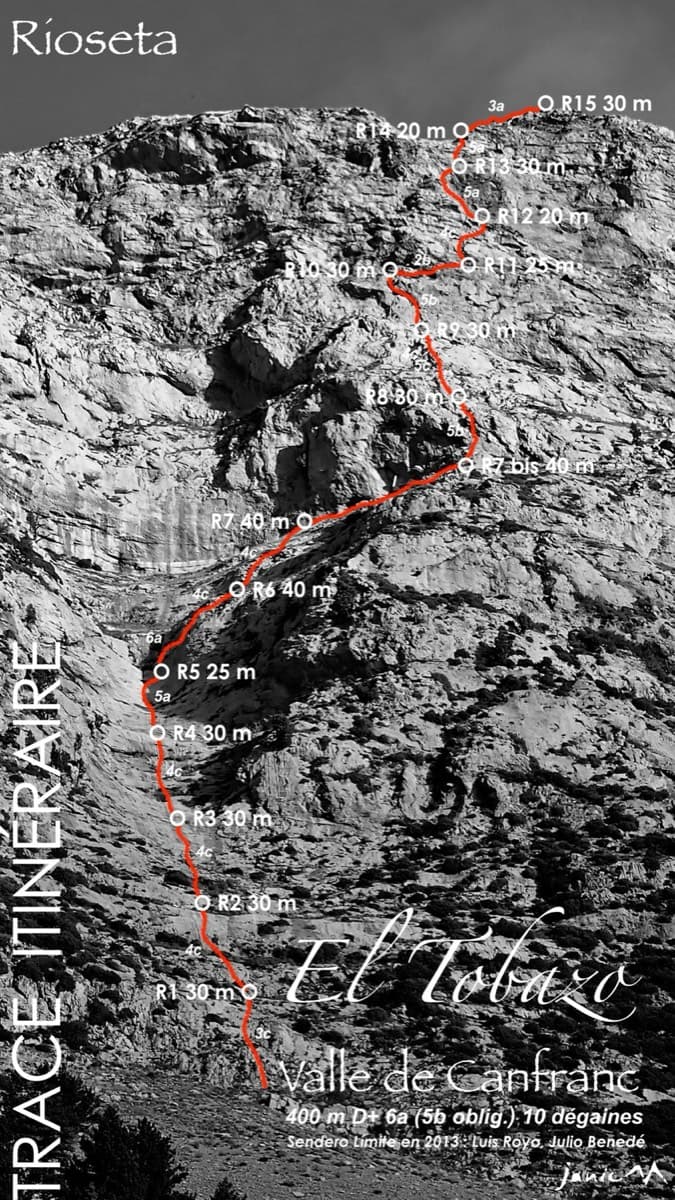
Topo of Valle de Canfranc on the south face of El Tobazo

Spain · Aragonese Pyrenees (Tena & Canfranc valleys)

Valle de Canfranc

A long, mostly easy slab-and-dihedral route with a single 6a slab on pitch 6, in a fine setting facing away from Candanchú. Wait about 30 h after rain because the lower gully drains water.

6a15 pitches400 m

Topo of Roca por un Tubo, Pared de la Tubería (Cerro Gascón), Baños de Panticosa

Spain · Aragonese Pyrenees (Tena & Canfranc valleys)

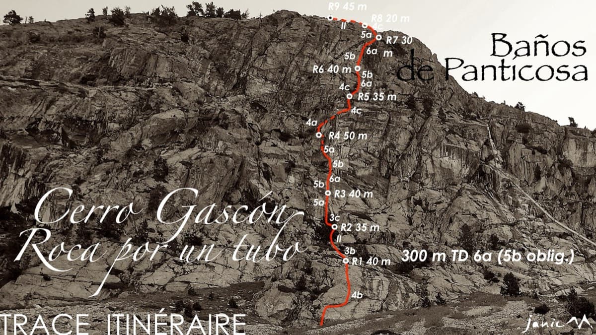
Roca por un Tubo

High-mountain granite slabs and dihedrals above the Panticosa spa. Three 6a cruxes mix friction slab with a short flaky roof on pitch 7.

6a9 pitches300 m

Read the cautions

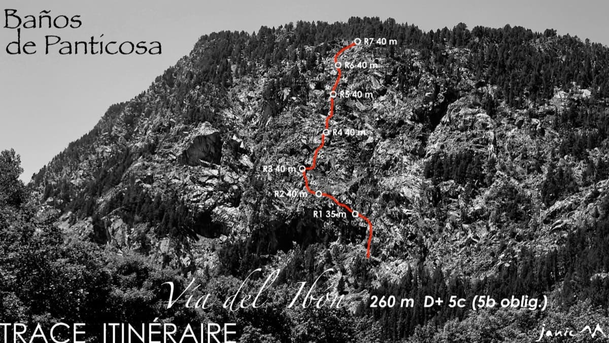
The Pared del Ibón above Baños de Panticosa with the line and belays of Vía del Ibón

Spain · Aragonese Pyrenees (Tena & Canfranc valleys)

Vía del Ibón

A mountain-style line on dark, weathered granite twenty-five minutes above the spa of Baños de Panticosa. It links ramps, a short overhanging break, slabs and a rounded boulder, with one well-bolted 5c move and the rest 4b to 5b. The rock between the good sections is earthy and lichenous, but the friction is excellent and the bolting generous.

5c7 pitches260 m

Around 6b+ · about 14 pitches

Similar elsewhere

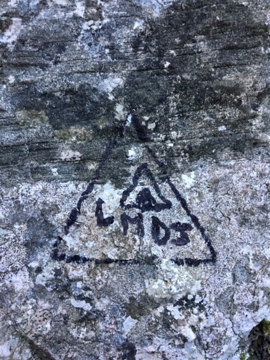
The 'LMDJ' mark painted at the start of Les Maîtres du Jeu, Les Gillardes

France · Dévoluy

Les Maîtres du Jeu

A recent line that has quickly become the friendly way to discover Les Gillardes: 350 m of vertical walls on flint edges, with fair grades and reassuring bolts on a cliff known for neither. Long, continuous pitches of 6b and 6b+, one of 6c, and a conglomerate finish.

6c13 pitches350 m

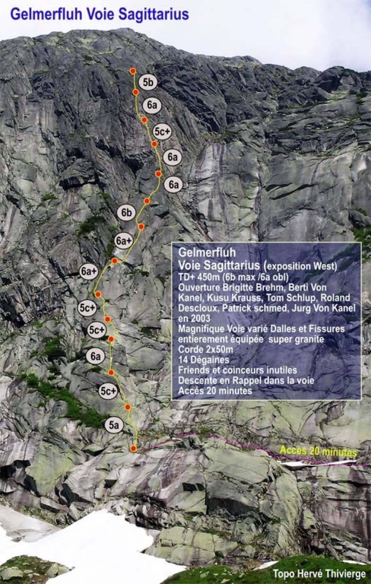
Photo-topo of Sagittarius on the Gelmerfluh, Grimsel

Switzerland · Grimsel

Sagittarius

A Grimsel granite classic: low-angle slabs lead to the famous 6a+ crack pitches and a thin 6b traverse, then steeper, sculpted ground. Sustained at 5c/6a throughout.

6b13 pitches400 m

Telendos harbour and the south face of the island, seen from the water

Greece · Kalymnos & Telendos

Eterna

Eleven pitches up the south face of Telendos on extraordinarily sculpted rock, finishing with a 50 m wall of flint-like knobs. Two 6b+ pitches low down are the cruxes and the grades are widely called friendly. With the boat or coastal walk in and the walk off over the island, it makes a full and memorable day.

6b+11 pitches265 m

The Paroi des Sources (left) and the Taoujdad seen from near Taghia

Morocco · Taghia

Belle et Berbère

Ten pitches of even 6b and 6b+ on compact rock ten minutes from the gîtes, mostly technical slab and wall climbing on your feet, with a 50 m sixth pitch on vertical edges that everyone singles out. It is among the most accessible long routes at Taghia, in the shade for most of the day, and a little polished low down.

6b+10 pitches330 m

Read the cautions

Compiled from published sources and last verified October 2026. Bolts, anchors and access change. Climbing is dangerous and you are responsible for your own decisions: check a current topo and read the disclaimer.