Multipitch Atlas

Vía del Ibón

Pared del Ibón, Baños de Panticosa · Aragonese Pyrenees (Tena & Canfranc valleys) · Spain

Bail with caveatsBolting confidence: high

A mountain-style line on dark, weathered granite twenty-five minutes above the spa of Baños de Panticosa. It links ramps, a short overhanging break, slabs and a rounded boulder, with one well-bolted 5c move and the rest 4b to 5b. The rock between the good sections is earthy and lichenous, but the friction is excellent and the bolting generous.

The Pared del Ibón above Baños de Panticosa with the line and belays of Vía del IbónPhoto: janic · CC BY-SA 3.0

Topo

The Pared del Ibón above Baños de Panticosa with the line and belays of Vía del IbónPhoto: janic · CC BY-SA 3.0
Hardest pitch
5c
Pitches
7
Length
260 m
Approach
25 min
Aspect
S
South-facing
Rope
1×50 m
walk-off

The route

Overview

Vía del Ibón climbs a broken granite wall above the Argualas stream, on the way to the Garmo Negro from the Casa de Piedra hut at Baños de Panticosa. The openers, the Sendero Límite team, followed the lines of weakness to join up the best rock, so some stretches are still earthy. The fourth and fifth pitches, the 'Black Plak' and the 'Pine Plak', are the best, and the crux is a move at the exit of the fifth. Seven pitches of 30 to 40 m lead to rounded slopes from which you walk down. The base is at about 1720 m and the top near 2000 m, so it is the least alpine route in this group, but it faces the sun and sits in a high Pyrenean cirque.

The climbing

Pitch by pitch

Pitches of Vía del Ibón
PitchGradeLengthBoltsNotes
P15b35 m10 boltsA succession of more or less earthy steps on an easy-angled spur to a short, well-bolted dark corner. Climb it trending left to an earthy platform and take the ramp to a belay on two bolts with rings.
P25b30 m8 boltsFollow the hanging ramp, a little dusty, to a slightly overhanging broken zone on positive holds. Climb into it and leave it on the left to a cluttered ramp and a belay on a rock outcrop. One thread as well as the bolts. A variant with a fixed rope avoids the loose gully at the end (2024 report).
P34b35 m6 boltsContinue up the ramp, past a dark corner with a good left handhold, to the foot of an obvious spur on the right.
P45a40 m13 boltsLeave the belay on the right and cross a small gully onto a mossy slab that grips surprisingly well. Gain the foot of the 'Black Plak' and climb it. A 2022 party noted an unstable block at the start in the gully.
P55c40 m15 boltsA step left off the belay, another over a short pale wall on rounded undercut holds, then a steeper slab called the 'Pine Plak'. Belay on 'La Balle', a big rounded boulder, or a few metres higher at an alternative two-bolt belay below the step with the pine. One party grades the hard move 5c+.
P64c40 m9 boltsClimb the step above the upper belay and follow the gully as it steepens to a belay on two bolts with one ring.
P74a40 m3 boltsA grassy ramp broken by rock steps, with three bolts and a thread, to a single-bolt belay.

Getting there

Approach

To the parking

Baños de Panticosa (1630 m) is at the head of the Tena valley in Huesca province, 8 km above the village of Panticosa by a mountain road from the A-136 between Biescas and the Portalet pass. Park at the car park beside the Refugio Casa de Piedra.

On foot · about 25 min

From the car park take the path of the normal route to the Garmo Negro. Below the Fuente de la Laguna shelter take the track that leads to the stream (barranco de Argualas) and cross it on a footbridge of two metal girders. A marked, cairned path leads to the foot of the wall. Do not stop at the first route, whose bolts you see in a corner on the right: it is harder and does not finish. Continue 50 to 80 m to the start, marked by the openers' usual strip of faded webbing with the route name. Camptocamp gives 25 minutes; parties took 18 to 46 minutes and regularly lose the path.

Map of the walk-in

  • Crag
  • Parking

Loading map

The point marks the crag, not the exact start of the route.

Coordinates · crag

42.75897, -0.24308

Parking

42.75957, -0.23461

Baños de Panticosa (camptocamp waypoint 131736); the car park is beside the Refugio Casa de Piedra

Point from camptocamp route 1337894 point, which agrees with the high point of the GPS track attached to the route (42.7591, -0.2436); the generic crag waypoint 771276 for the Baños lies 800 m further north

For your phone or watch

Download GPX

Contains the route point and parking. Opens in most mapping apps and GPS watches.

Points are compiled from published sources, with the precision stated above. They were not surveyed on the ground: check them against a current topo.

Getting down

Descent

On foot: from the last belay follow the line of cairns that winds over the rounded slopes to the path from the Ordicuso lakes, marked blue and white. Follow it down to the Malata Baja de Argualas and the Garmo Negro path, and so back to the Baños. Camptocamp allows 45 to 50 minutes; a 2026 party ran down in 25. Camptocamp also says the route can be abseiled.

Retreat

Bailing off the route

Bail with caveats

Camptocamp says the route can be descended by abseil, and the first six belays are two bolts with rings. The pitches are 30 to 40 m, so the single 50 m rope the route is normally climbed on is not enough to abseil them. The line also follows ramps and traverses on the first two pitches, where ropes will not hang straight.

Retreat from
Any of the first six belays, with two ropes.
Point of no return
None documented. From the fifth belay it is quicker to finish up the two easy pitches and walk down.
Carry
Two ropes of 50 m or more for an abseil retreat (inferred from the pitch lengths).
Basis
Part stated, part inferredAbseil descent possible and ringed two-bolt belays are stated by camptocamp; the need for two ropes is inferred from 35 to 40 m pitches.

Partly inferred from the route facts

Safety

Hazards

  • Earth, dust and loose stones on the ramps and transitions, often with other parties below.
  • The last belay is a single bolt.
  • Finding the start: parties repeatedly lose the approach path or start up the wrong bolted line, which ends at a tree after a hard smooth corner.
  • Hot in full sun in midsummer; afternoon storms are common in the high Pyrenees.

Sun and weather

Conditions

South to south-east facing: it takes the sun early and holds it through the middle of the day, and in late July a party found it in the shade from about 15:00, which made it pleasant in a heatwave. Reports run from mid-June to mid-September. In June the streams are in spate with snowmelt, but the wall itself was dry. The granite is dark with lichen and moss in places and still grips well when dry.

Usual season · Jun to Sep

Sun on the wall · S-facing

Working out the sunlit hours for this month.

  • January: not yet worked out
  • February: not yet worked out
  • March: not yet worked out
  • April: not yet worked out
  • May: not yet worked out
  • June (usual season): not yet worked out
  • July (usual season): not yet worked out
  • August (usual season): not yet worked out
  • September (usual season): not yet worked out
  • October: not yet worked out
  • November: not yet worked out
  • December: not yet worked out

Sun on the wallDaylight, wall in shade● Usual season

Estimated from the wall's aspect only. Ignores surrounding terrain, gullies and the wall's exact shape. Clock times are local to the wall (Central European time), for the 15th of each month.

Climate figures for Aragonese Pyrenees (Tena & Canfranc valleys) are not available yet

What to carry

Gear

15 quickdraws, a single 50 m rope and a helmet. Cams and nuts are of no use.

Checklist

Quickdraws
15
Rope
1×50 m (walk-off)
Helmet
One each
Abseil device and prusik
The descent or the retreat involves abseiling

Derived from the route data; check it against a current topo

From climbers

Reader reports

Reader reports are not being collected yet. Until they are, check a current topo and the local club or guidebook publisher for recent changes to Vía del Ibón.

Worth knowing

Tips

  • Allow 2 h 10 to 4 hours on the route and about 4 hours car to car.
  • In a heatwave, climb it in the afternoon shade: a July 2026 party started at 15:00.

Open questions

Where sources disagree

  • Length: 260 m on the author's photo-topo against 280 m of difficulties in camptocamp's header; the listed pitches add up to 260 m.
  • Pitch 2 length: 30 m in the route description, 40 m in the same author's trip reports.
  • Crux grade: 5c in the description; 5c+ in one 2022 report.
  • Only camptocamp (route page, crag photo-topo and seven trip reports by four different authors) was found for this route; a web search turned up no independent Spanish topo.

Provenance

Sources

Same area

More in Aragonese Pyrenees (Tena & Canfranc valleys)

All routes in Aragonese Pyrenees (Tena & Canfranc valleys)
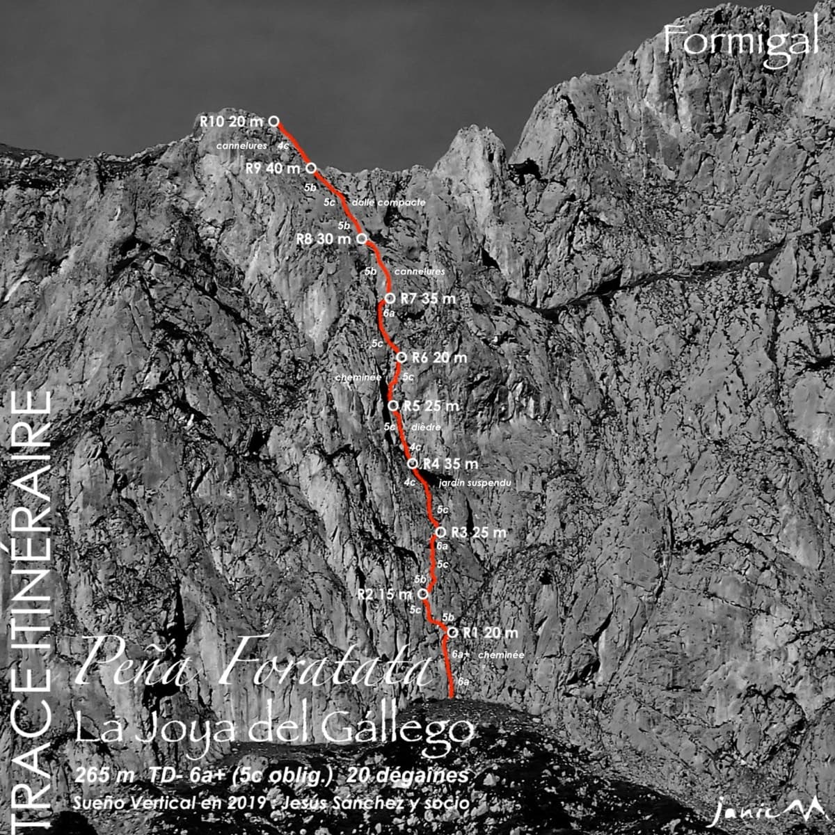
Topo of La Joya del Gállego on the Peña Foratata

Spain · Aragonese Pyrenees (Tena & Canfranc valleys)

La Joya del Gállego

Varied, sustained limestone of chimneys, dihedrals and compact fluted slabs high above the Tena valley. Bearded-vulture nesting closes the face from 1 Dec to 31 Jul unless lifted early, so check montanaregulada.org.

6a+10 pitches265 m

Read the cautions
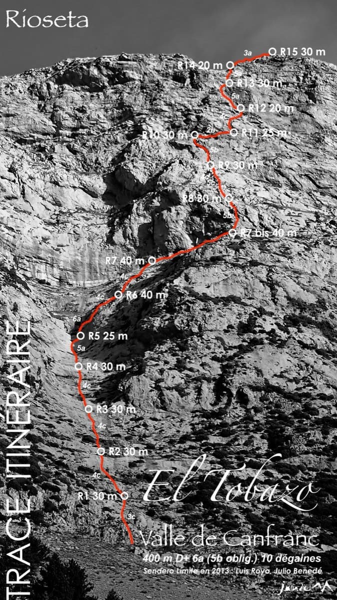
Topo of Valle de Canfranc on the south face of El Tobazo

Spain · Aragonese Pyrenees (Tena & Canfranc valleys)

Valle de Canfranc

A long, mostly easy slab-and-dihedral route with a single 6a slab on pitch 6, in a fine setting facing away from Candanchú. Wait about 30 h after rain because the lower gully drains water.

6a15 pitches400 m

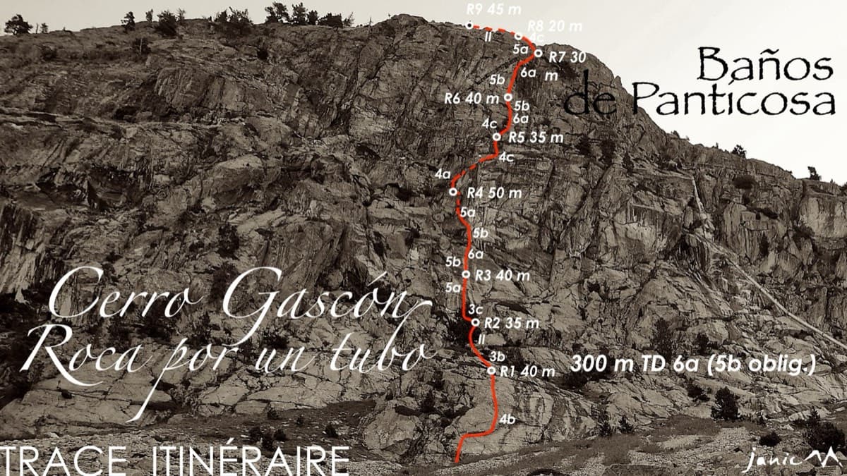
Topo of Roca por un Tubo, Pared de la Tubería (Cerro Gascón), Baños de Panticosa

Spain · Aragonese Pyrenees (Tena & Canfranc valleys)

Roca por un Tubo

High-mountain granite slabs and dihedrals above the Panticosa spa. Three 6a cruxes mix friction slab with a short flaky roof on pitch 7.

6a9 pitches300 m

Read the cautions

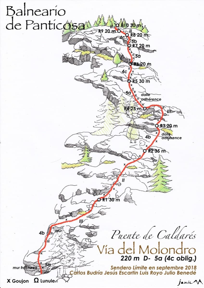
Drawn topo of the Vía del Molondro above the Caldarés bridge, Baños de Panticosa, with bolts and belays marked

Spain · Aragonese Pyrenees (Tena & Canfranc valleys)

Vía del Molondro

Ten short pitches of easy-angled Panticosa granite beside the Caldarés stream, twenty minutes from the car. Mostly friction slabs at 4b to 5a linked by walking-angle ground, with one polished bulge given 5b on the topo. A very gentle first granite multipitch, and a climbing approach to the walls above.

5b10 pitches220 m

Around 5c · about 7 pitches

Similar elsewhere

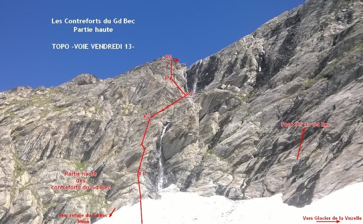
Photo-topo of Vendredi 13 on the upper Contreforts du Grand Bec, with belays R1 to R5

France · Vanoise (Grand Bec)

Vendredi 13

A short, sunny high-mountain route at 2800 m in the Vanoise: five 25 to 30 m pitches of 4b to 5b with one or two moves of 5c that can be pulled through, then an easy scramble. The bolting is generous enough that parties with little experience enjoy it. The setting, below the south-west face of the Grand Bec, is the reason to walk up.

5c6 pitches180 m

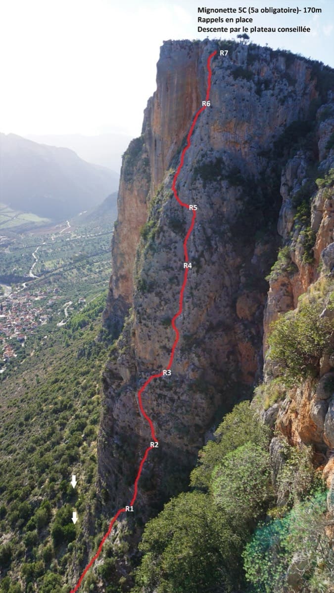
Topo of Mignonette on the Kokkinovrachos pillar, Leonidio

Greece · Leonidio & Kyparissi

Mignonette

The easiest multi-pitch on Kokkinovrachos, following the easy-angled arête and pillar above Leonidio, with tufas, crimpy walls and a great view of the town. Rock is good apart from the scrappy P2–P3.

5c+7 pitches175 m

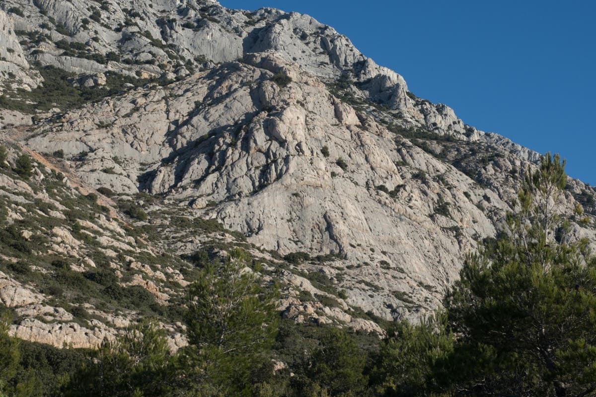
Le Socle de la Carrière, Sainte-Victoire

France · Sainte-Victoire

La Marbrière

A sunny winter route on Sainte-Victoire's south-side socle. The highlight is a beautiful marbled slab on L5, and a stiff move off the last belay can be aided on a sling. Bring long slings to manage rope drag around the trees.

5c+7 pitches180 m

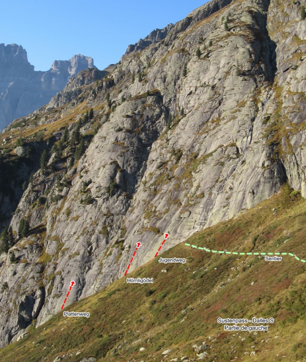
Sustenpass south slabs, left part, with the start of Plattenweg marked

Switzerland · Susten

Plattenweg

Relaxed, low-angle granite slab climbing on small edges, 15 minutes from the Sustenpass road. It makes an ideal first alpine-granite multipitch.

5b+7 pitches200 m

Compiled from published sources and last verified October 2026. Bolts, anchors and access change. Climbing is dangerous and you are responsible for your own decisions: check a current topo and read the disclaimer.