Multipitch Atlas

La Joya del Gállego

Peña Foratata, Sallent de Gállego · Aragonese Pyrenees (Tena & Canfranc valleys) · Spain

Read the cautionsBail not documentedBolting confidence: high

Varied, sustained limestone of chimneys, dihedrals and compact fluted slabs high above the Tena valley. Bearded-vulture nesting closes the face from 1 Dec to 31 Jul unless lifted early, so check montanaregulada.org.

Topo of La Joya del Gállego on the Peña ForatataPhoto: janic · CC BY-SA 3.0

Topo

Topo of La Joya del Gállego on the Peña ForatataPhoto: janic · CC BY-SA 3.0
Hardest pitch
6a+
Pitches
10
Length
265 m
Approach
65 min
Aspect
SW
South-west-facing
Rope
1×50 m
Read before you go

Very generously bolted, but subject to a 1 December to 31 July nesting ban (renewed to 2029, lifted early in some years) and with a few hangers missing.

The route

Overview

A ten-pitch, 265 m bolted route up the south-west side of Peña Foratata above Formigal, finishing between the two main summits. The lower half mixes a chimney, corners and short steep walls; the upper pitches are compact fluted slabs that most parties rate as the highlight. It is very densely bolted, to the point that many parties clip one bolt in two or three, and the hard moves are short and can be pulled through. Repeaters generally find the grades friendly. It is popular, so expect queues on good autumn days.

The climbing

Pitch by pitch

Pitches of La Joya del Gállego
PitchGradeLengthBoltsNotes
P16a+20 m12 boltsThe plinth leads to a well-protected chimney (piton for the right hand), which continues as a steep groove with a diagonal exit right to a belay on a ledge. 12 bolts and 1 piton. A cold-start 6a+ move; some rate the pitch 6a.
P25c15 m8 boltsSteps trending left to an open corner; belay at its top. 8 bolts and 2 pitons. Graded 5b/5c.
P36a+25 m16 boltsSlab right of the belay with a good hold, then a ramp. Move left onto a slab that steepens into a compact wall. A one-move rightward traverse just before the belay is the 6a+ crux; reach high above the bolt. 16 bolts and 1 piton. A bit vegetated at the start.
P45c35 m11 boltsDiagonally left across a spur (5c), then easy steps (4c) to a hanging garden. A fixed rope helps up the garden to a belay at the foot of a corner. 11 bolts and 1 piton. A transition pitch with some gardening.
P56a25 m15 boltsA fractured corner and chimney on good holds, then a steep wall at 6a. Exit left on two big holds. Much of the pitch is 4c/5c.
P65c20 m11 boltsA steepening ramp, a step right over the spur, then a flaky corner with a short steep step before it lies back to the belay.
P76a35 m17 boltsVertical ribs left of the belay, a step, then a compact ramp with a hand crack and a compact wall. One 6a friction move in traverse on arriving at the belay: go slightly above the line to a small edge, then step down. The footholds are getting polished.
P85b30 m14 boltsSteepening steps to a right-to-left ramp, then a compact wall crossed rightwards. Fine slab with one or two thin moves. Uncomfortable belay.
P95c40 m18 boltsCompact rock with barely marked runnels that demand friction climbing, a compact step, then more runnels to the belay. 18 bolts and 2 threads. Graded 5b/5c; one party felt there was a 6a move.
P104c20 m9 boltsPronounced runnels, a step left to change runnel, then two steps to the final belay.

Getting there

Approach

To the parking

Base is Formigal (Sallent de Gállego), on the Spanish side of the Portalet pass. Drive to the top of the village via Avenida de los Pirineos, Plaza de Austria, Calle Zaragoza and Calle Jaca. Park either by the sports and play area on Calle Jaca, or at the end of Calle Foratata, where there is a spot for about 3 cars and a larger area just beyond (about ten cars in total; camping is signed as forbidden). If full, use the tarmac car park behind the Hotel HG Alto Aragón on Calle Barcelona.

On foot · about 65 min

55 min to 1 h 15. Do not go straight up the meadows and scree from the car park: the equipper and two trip reports call it awkward and tiring. From the Calle Foratata parking take the track through a cattle fence; after 5 min it ends in a meadow. Go diagonally left at a cairn onto a path that becomes clearer (cairns, blue and white paint) and follow it for about 20 min to a col on a grass and rock spur. Follow the spur for 15 min to a second col with big pines. Here the Valle de Tena route path goes slightly right; stay on the fainter path closest to the spur. After another 20 min you reach a shoulder with a large cairn, about 60 m from the Canal Sur. From the cairn descend diagonally left down a steep slope, then contour along cairns; after 10 min you pass the foot of Anzas, and 5–10 min further along the wall you reach the start at the highest point of the scree. 'La joya' is painted in green by the first bolt; in 2023 it was almost worn away.

Finding the route · 3 photos

Approach photo

Map of the walk-in

  • Crag
  • Parking
  • GPS line

Loading map

The point marks the crag, not the exact start of the route.

GPS line: one party's recorded GPS track of the whole day, including the climb and the descent. One party's recorded day in September 2023: the walk-in from Formigal (they report following the approach as described), the climb, and a longer loop back down. The line on the camptocamp route page is a different party's track that went straight up the spur, which they did not recommend. Do not follow it blindly.

GPS line: Jean Roule · CC BY-NC-ND 3.0

Coordinates · crag

42.78817, -0.34565

Parking

42.77928, -0.35859

Formigal - Village (camptocamp access point)

Point from camptocamp waypoint 43678

For your phone or watch

Download GPX

Contains the route point, parking and a GPS line. Opens in most mapping apps and GPS watches.

Points are compiled from published sources, with the precision stated above. They were not surveyed on the ground: check them against a current topo.

Getting down

Descent

Walk off; allow about 1 h 30 to the car. The route ends about 50 m from the path that climbs to the western summit (Foratata Occidental). Go down to that path and follow it a short way until you are below the col that gives access to the eastern summit, then take the path that leaves to the left. This is the normal route via the Collado de Foratata: it heads north, crosses the crest and swings back south. One party advises heading down first rather than towards the crest, then taking the most level path, which has cables. The path comes out behind the Hotel HG Alto Aragón.

Retreat

Bailing off the route

Bail not documented

Retreat is not documented. Camptocamp and the equipper's post describe only the walk-off from the top and say nothing about abseiling the route or how the belays are rigged. The bolting is very dense (8 to 18 bolts per pitch) and belays are bolted, so lowering off or abseiling pitch by pitch is plausible, but that is an inference. The line wanders through corners, ramps and short traverses, so abseils would not follow it neatly.

Carry
Not documented. The route is climbed on a single 50 m rope, and pitches 4, 7 and 9 are listed at 35 to 40 m (a commenter says only pitch 9 exceeds 30 m), so one 50 m rope would not cover every pitch in abseil. Maillons and cord would be prudent.
Basis
Inferred from the route factsNeither Camptocamp nor the equipper's blog mentions abseiling, retreat or belay hardware; the bolt counts and pitch lengths are theirs, and everything about retreat is inferred.

Partly inferred from the route facts

Safety

Hazards

  • Seasonal ban for bearded vulture nesting: climbing on the centre and right of the south side of Peña Foratata is prohibited from 1 December to 31 July. The Aragón government renewed the order in January 2025 for the breeding seasons up to 31 July 2029. It is lifted early in years when the birds do not nest: Montaña Regulada recorded on 5 May 2026 that climbing was permitted. Check montanaregulada.org before every visit.
  • Rockfall: a party in September 2023 reported a large rockfall down pitch 5 minutes after they left it, with small stones on the helmet at the fourth belay beforehand. Another report says a shower of gravel is guaranteed if a party is above you.
  • Some hangers have been removed. A 2024 report notes a few bare studs without hangers (no consequence given the bolt density). In 2025 the equipper said a couple of bolts had been taken out of the last pitch by the team equipping the neighbouring route, whose newer bolts now run close by on the left of the last two pitches and can cause confusion.
  • The fourth belay is perched because its earth platform has partly collapsed. The equipper placed two anchors a metre lower but their hangers were removed; he intended to replace them.
  • Rock is starting to polish, notably the footholds at the pitch 7 crux, and there is some earth on the lower pitches.

Sun and weather

Conditions

South-west facing, topping out at 2,235 m. The first pitches are in shade in the morning and the route then comes into the sun: in early September one party was in shade until 10:30 at the fourth belay and found it very hot after 13:00. Most trip reports are from late August to mid October; with the closure lifted, parties also climbed it in late May 2026. Mosquitoes were fierce at the base in late May. Popular: arrive first to avoid queues and debris from above.

Usual season · Aug to Oct

Sun on the wall · SW-facing

Working out the sunlit hours for this month.

  • January: not yet worked out
  • February: not yet worked out
  • March: not yet worked out
  • April: not yet worked out
  • May: not yet worked out
  • June: not yet worked out
  • July: not yet worked out
  • August (usual season): not yet worked out
  • September (usual season): not yet worked out
  • October (usual season): not yet worked out
  • November: not yet worked out
  • December: not yet worked out

Sun on the wallDaylight, wall in shade● Usual season

Estimated from the wall's aspect only. Ignores surrounding terrain, gullies and the wall's exact shape. Clock times are local to the wall (Central European time), for the 15th of each month.

Climate figures for Aragonese Pyrenees (Tena & Canfranc valleys) are not available yet

What to carry

Gear

Single 50 m rope and 20 quickdraws according to camptocamp; 12 are enough if you skip bolts, and 20 let you link pitches. A 60 m rope is useful for linking: one party linked pitches 8 and 9 on 60 m ropes with 3 m to spare. Helmet essential.

Checklist

Quickdraws
20
Rope
1×50 m
Helmet
One each
Maillons or spare karabiners
To leave behind if you retreat
Cord
Mentioned for retreat

Derived from the route data; check it against a current topo

From climbers

Reader reports

Reader reports are not being collected yet. Until they are, check a current topo and the local club or guidebook publisher for recent changes to La Joya del Gállego.

Worth knowing

Tips

  • Common links: pitches 1+2, 5+6 and, with a 60 m rope, 8+9. Skipping bolts keeps the drag down.
  • Take the spur path on the approach and aim for the western tip of the eastern peak; the direct line up the slope is the usual mistake.
  • Climbing time is 3–4 h for most parties.
  • Every hard move is next to a bolt, so the route goes at about 5c with pulls.
  • The equipper's blog has the drawn topo.

Open questions

Where sources disagree

  • Grades: the equipper's topo, followed by the French camptocamp page, gives 6a+ on pitches 1 and 3. The Spanish camptocamp page calls the route overgraded and gives pitches 1+2 as 6a; several reports call the grades kind. This entry keeps the topo grades.
  • Pitch 5: the camptocamp table says 4c/5c but its text, the Spanish page and a 2023 report all mention a 6a steep wall. This entry lists 6a.
  • Pitch lengths: a 2023 comment on the equipper's blog says only pitch 9 exceeds 30 m and that pitches 8+9 (listed as 70 m) went on a 60 m rope with 3 m spare, so the topo lengths are generous.
  • Quickdraws: French page 20, Spanish page 12.
  • Closure: in June 2025 the equipper wrote that he believed the ban had ended in 2023. Montaña Regulada documents a January 2025 renewal running to 2029. This entry follows Montaña Regulada.

Provenance

Sources

Same area

More in Aragonese Pyrenees (Tena & Canfranc valleys)

All routes in Aragonese Pyrenees (Tena & Canfranc valleys)
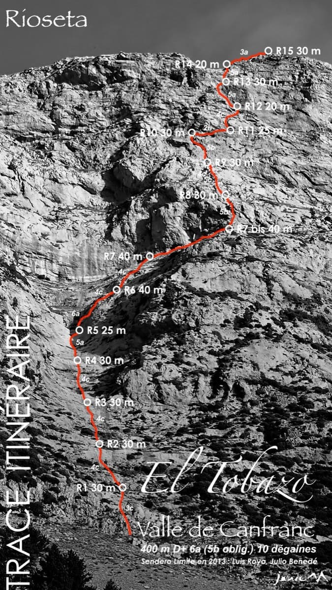
Topo of Valle de Canfranc on the south face of El Tobazo

Spain · Aragonese Pyrenees (Tena & Canfranc valleys)

Valle de Canfranc

A long, mostly easy slab-and-dihedral route with a single 6a slab on pitch 6, in a fine setting facing away from Candanchú. Wait about 30 h after rain because the lower gully drains water.

6a15 pitches400 m
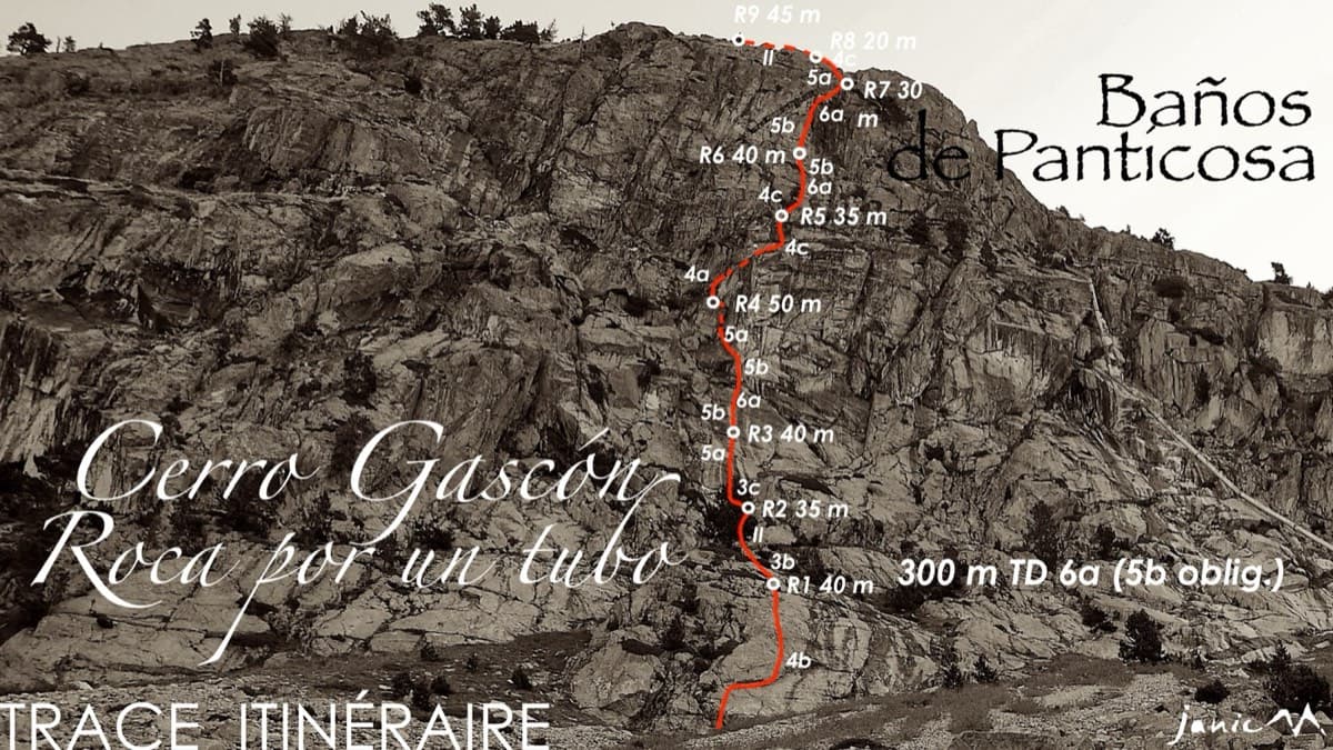
Topo of Roca por un Tubo, Pared de la Tubería (Cerro Gascón), Baños de Panticosa

Spain · Aragonese Pyrenees (Tena & Canfranc valleys)

Roca por un Tubo

High-mountain granite slabs and dihedrals above the Panticosa spa. Three 6a cruxes mix friction slab with a short flaky roof on pitch 7.

6a9 pitches300 m

Read the cautions

The Pared del Ibón above Baños de Panticosa with the line and belays of Vía del Ibón

Spain · Aragonese Pyrenees (Tena & Canfranc valleys)

Vía del Ibón

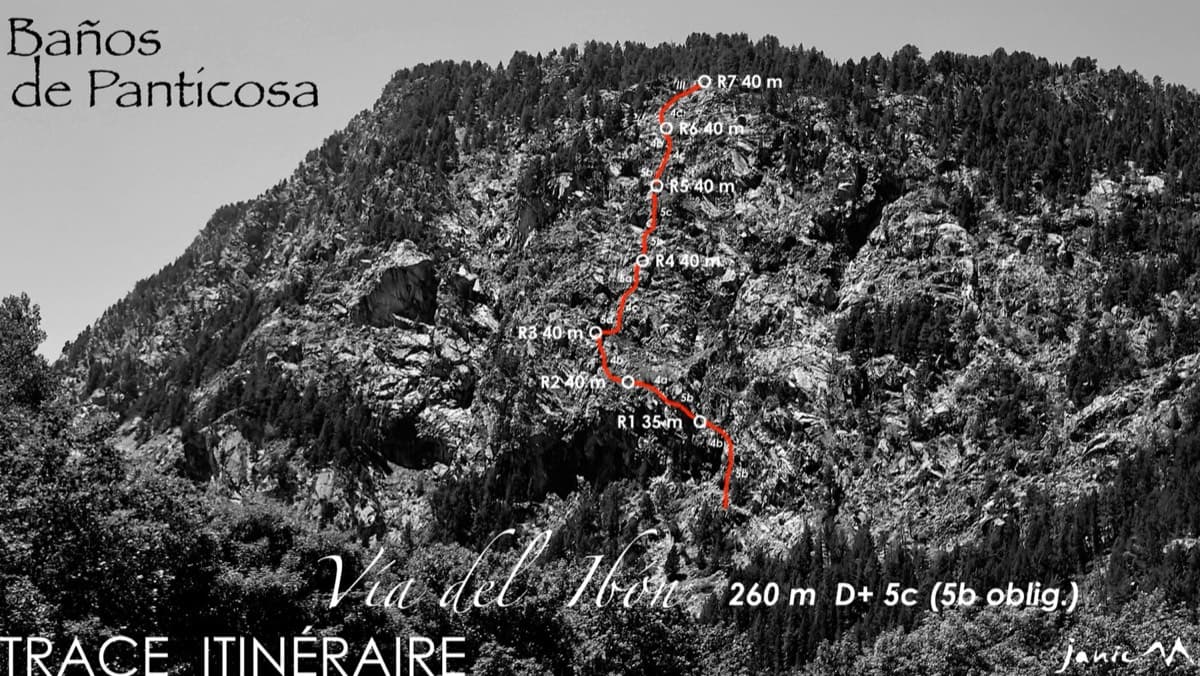
A mountain-style line on dark, weathered granite twenty-five minutes above the spa of Baños de Panticosa. It links ramps, a short overhanging break, slabs and a rounded boulder, with one well-bolted 5c move and the rest 4b to 5b. The rock between the good sections is earthy and lichenous, but the friction is excellent and the bolting generous.

5c7 pitches260 m

Drawn topo of the Vía del Molondro above the Caldarés bridge, Baños de Panticosa, with bolts and belays marked

Spain · Aragonese Pyrenees (Tena & Canfranc valleys)

Vía del Molondro

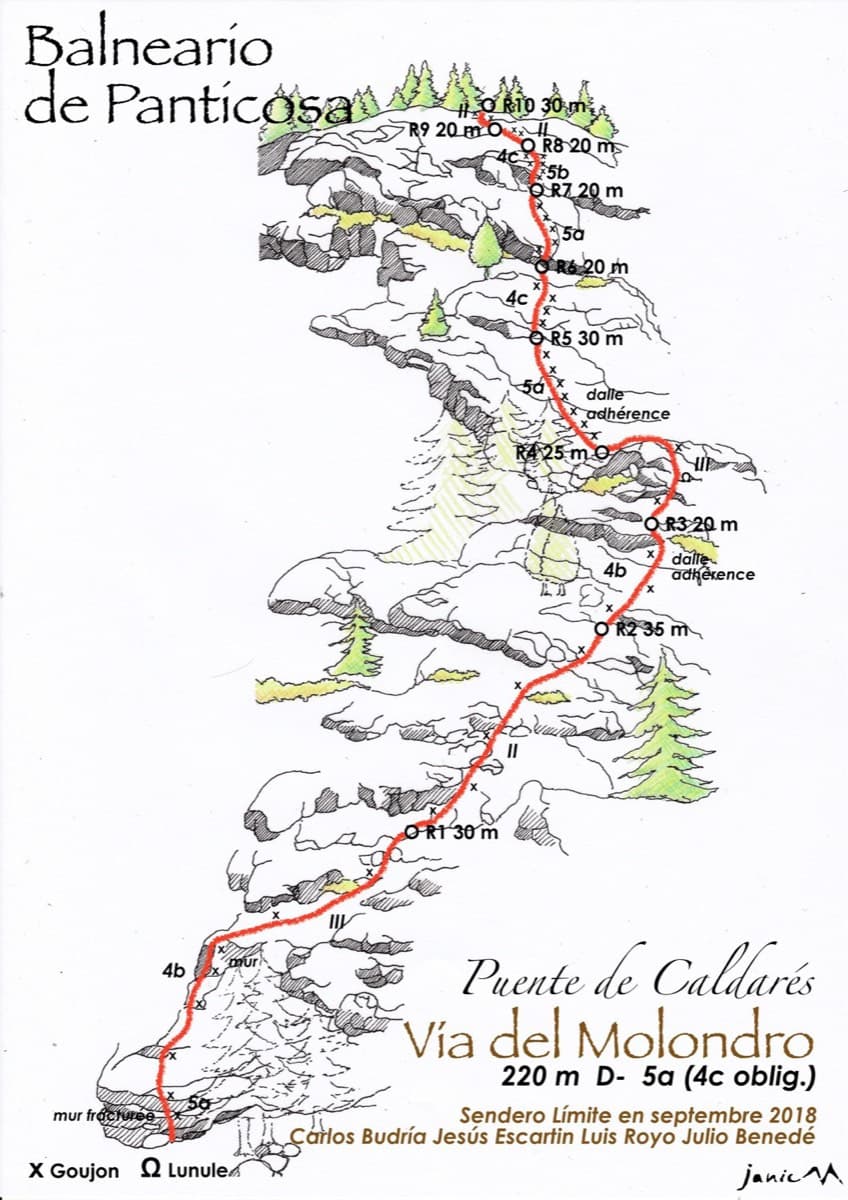
Ten short pitches of easy-angled Panticosa granite beside the Caldarés stream, twenty minutes from the car. Mostly friction slabs at 4b to 5a linked by walking-angle ground, with one polished bulge given 5b on the topo. A very gentle first granite multipitch, and a climbing approach to the walls above.

5b10 pitches220 m

Around 6a+ · about 10 pitches

Similar elsewhere

No photo yet

Spain · Vega Baja (Orihuela & Callosa)

Botri

The classic of Redován: ten pitches and 300 m of steady grade 5 with three steeper pitches on red rock. The eighth pitch, a traverse right into an overhanging corner above the orange cliffs, is the one people remember. Closed from January to June for nesting eagles.

6a+10 pitches300 m

South face of the Berchtesgadener Hochthron (Untersberg), seen from Maria Gern

Germany · Berchtesgaden & Bad Reichenhall

Dahoam is Dahoam

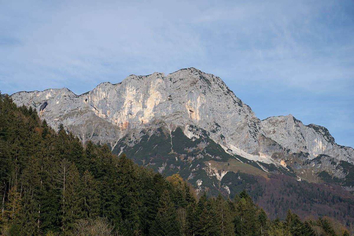
A long-day alpine-flavoured plaisir route on the Untersberg's summit wall. Pitches range from UIAA 5+ to 6+ (≈5b–6b), with 5+ obligatory.

6a+10 pitches250 m

Paret del Pessó, Collegats: Tanger starts between the shaded corner and the pylon

Spain · Collegats

Tanger

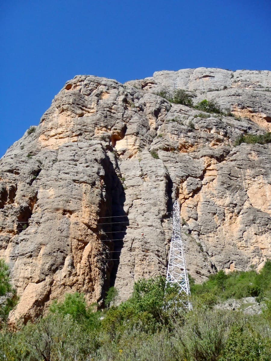
A consistent, well-bolted line starting with a crack under the big pylon. Ten pitches of 5b–6a+ are split by a 100 m scramble through a vegetated 'garden' before the final tier.

6a+10 pitches300 m

Read the cautions

Mallo Pisón above the village of Riglos, with El Puro on its left

Spain · Riglos & Agüero (Mallos)

Ursi

A way up the Pisón at 6a+ if you accept two pitches of pulling on bolts at the start. The seventh pitch is a contender for the best corner at Riglos. Take care with the rock on pitches 3 and 4.

6a+10 pitches270 m

Read the cautions

Compiled from published sources and last verified October 2026. Bolts, anchors and access change. Climbing is dangerous and you are responsible for your own decisions: check a current topo and read the disclaimer.