Multipitch Atlas

Placa del Estrato

Sierra de Bernera south face, Lizara · Western Aragonese Pyrenees (Lizara) · Spain

Easy to bailBolting confidence: medium

Six pitches of easy limestone slab up the great folded stratum above the Lizara refuge, parallel to the unbolted Chimenea del Estrato. Friction and small edges at 4b to 4c, with runnels on the upper pitches, in a high pasture setting. A mountain day at a beginner's grade, with an hour's walk in.

Drawn topo of the Placa del Estrato on the Sierra de Bernera above Lizara, with bolts and belays markedPhoto: janic · CC BY-SA 3.0

Topo

Drawn topo of the Placa del Estrato on the Sierra de Bernera above Lizara, with bolts and belays markedPhoto: janic · CC BY-SA 3.0
Hardest pitch
4c
Pitches
6
Length
185 m
Approach
60 min
Aspect
S
South-facing
Rope
Single rope
walk-off; pitches up to 35 m

The route

Overview

The route climbs the slab beside the chimney that follows the characteristic stratum on the south face of the Sierra de Bernera. After an introductory pitch up a blocky channel, five pitches of slab follow: it steepens twice on pitch 2, where friction becomes essential, then lies back and offers small edges and parallel runnels. Nothing is harder than 4c and the pitches are 25 to 35 m. From the last belay a 20 m traverse protected by two bolts and a fixed rope leads to the walk-off. Documentation is thin: one detailed camptocamp page and one trip report, both from 2021.

In pictures

Photos

  • The areaSnow-covered limestone cliff bands above the Lizara plateau, photographed from the Refugio de Lizara in winter.Photo: McBodes · CC BY 3.0

Approach photo

The climbing

Pitch by pitch

Pitches of Placa del Estrato
PitchGradeLengthBoltsNotes
P13c35 m3 boltsA channel of stacked blocks, then a corner and steps. Three bolts and one thread.
P24c30 m9 boltsMore steps, then a slab that steepens in two stages, where precise friction is essential.
P34b30 m6 boltsThe steeper friction slab continues to the second bolt, then lies back and changes from friction to small edges.
P44b30 m6 boltsEasy-angled slab on small edges, then two parallel runnels.
P54c35 m8 boltsMore slab: a runnel first, then friction, easing to a very low angle.
P64a25 m4 boltsEasy-angled slab to the sixth belay. From here a barely inclined 20 m traverse (grade II, two bolts, a static rope as a handrail for 15 m) leads to belay R6 bis.

Getting there

Approach

To the parking

From Puente la Reina de Jaca take the A-176 and then the road through Aragüés del Puerto to its end at the Lizara refuge. Park near the refuge at about 1,510 m.

On foot · about 60 min

About 1 hour. From the car park take the GR 11.1 towards the Collado del Bozo. At about 1,840 m leave it and head for the scree cone below the chimney; climb the cone to the foot of the chimney, where the route starts.

Finding the route · 3 photos

  • OverviewEarly on the walk from Lizara: the south face of the Sierra de Bernera in the distance, with the curved band of strata (the 'parenthesis') that the route follows.Photo: janic · CC BY-NC-ND 3.0
  • Walk-inAfter leaving the GR 11.1: heading across the pasture towards the scree cone below the face. The route starts at the top of the cone.Photo: janic · CC BY-NC-ND 3.0
  • Start of the routeThe start: 'STRATO' painted in white on a block at the foot of the chimney.Photo: janic · CC BY-NC-ND 3.0

Approach photo

Map of the walk-in

  • Crag
  • Parking
  • GPS line

Loading map

The point marks the crag, not the exact start of the route.

GPS line: a line of the whole day, including the climb and the descent drawn by its source, not a recorded track. Line attached to the camptocamp route page; it is identical to the track on janic's outing of 28 September 2021 (https://www.camptocamp.org/outings/1353748). A 7 km loop from the Lizara refuge: walk-in, climb and return. No elevation data. Do not follow it blindly.

GPS line: camptocamp contributors (janic) · CC BY-SA 3.0

Coordinates · crag

42.76735, -0.60657

Parking

42.76286, -0.63360

Refugio de Lizara (camptocamp waypoint 725687)

Point from camptocamp waypoint 1353704

For your phone or watch

Download GPX

Contains the route point, parking and a GPS line. Opens in most mapping apps and GPS watches.

Points are compiled from published sources, with the precision stated above. They were not surveyed on the ground: check them against a current topo.

Getting down

Descent

From R6 bis either climb the upper rib directly (a 15 m overhanging start given 6a+), or, as most will, follow the rib along an easy descending traverse marked in red for about 100 m, then climb rocks and grass to cross above the rib at about 1,980 m. A cairned and marked path leads down to the Collado del Bozo and the GR 11.1 back to the Lizara refuge. The 2021 party took about 2 hours for the route and just under 5 hours car to car.

Retreat

Bailing off the route

Easy to bail

Camptocamp states that the belays are chained and fitted with rings so that you can abseil. The pitches are 25 to 35 m and run in a nearly straight line up the slab.

Retreat from
Any belay.
Point of no return
None described.
Carry
Two ropes or a 70 m single: a 60 m single will not reach on the 35 m pitches.
Basis
Part stated, part inferredThe abseil-ready belays are stated by camptocamp; no party reports having retreated, and the rope requirement is inferred from pitch lengths.

Partly inferred from the route facts

Safety

Hazards

  • The walk-off traverses and then climbs mixed rock and grass above the rib, which calls for care when wet.
  • The first pitch has three bolts and a thread in 35 m of grade 3.
  • The fixed rope on the exit traverse was in place in 2021; its current state is unknown.

Sun and weather

Conditions

South-facing at about 1,900 to 2,090 m. The neighbouring chimney route is described by the openers as being in shade in the morning. A late September 2021 ascent was done in cool, overcast weather. Friction slab: do not go when wet.

Usual season · Jun to Sep

Sun on the wall · S-facing

Working out the sunlit hours for this month.

  • January: not yet worked out
  • February: not yet worked out
  • March: not yet worked out
  • April: not yet worked out
  • May: not yet worked out
  • June (usual season): not yet worked out
  • July (usual season): not yet worked out
  • August (usual season): not yet worked out
  • September (usual season): not yet worked out
  • October: not yet worked out
  • November: not yet worked out
  • December: not yet worked out

Sun on the wallDaylight, wall in shade● Usual season

Estimated from the wall's aspect only. Ignores surrounding terrain, gullies and the wall's exact shape. Clock times are local to the wall (Central European time), for the 15th of each month.

Climate figures for Western Aragonese Pyrenees (Lizara) are not available yet

What to carry

Gear

9 quickdraws. A single rope is enough for the walk-off; take two ropes or a long single if you want the option of abseiling the 30 to 35 m pitches. Helmet.

Checklist

Quickdraws
9
Rope
Single rope (walk-off; pitches up to 35 m)
Helmet
One each

Derived from the route data; check it against a current topo

From climbers

Reader reports

Reader reports are not being collected yet. Until they are, check a current topo and the local club or guidebook publisher for recent changes to Placa del Estrato.

Worth knowing

Tips

  • The Arista de los Castillones on the nearby Peña del Mediodía is recommended by the openers as a second route for the same day.
  • Allow about 5 hours car to car.
  • Do not confuse it with the Chimenea del Estrato alongside, which has equipped belays but unbolted pitches.

Open questions

Where sources disagree

  • Altitude of the start of the approach: 1,510 m (car park) and 1,520 m (refuge) in the same source.
  • A Wikiloc track for a 'Vía del Estrato' (grade III+, 're-equipped with a few bolts, take a cam') refers to the neighbouring chimney route, not this slab route.

Provenance

Sources

Around 4c · about 6 pitches

Similar elsewhere

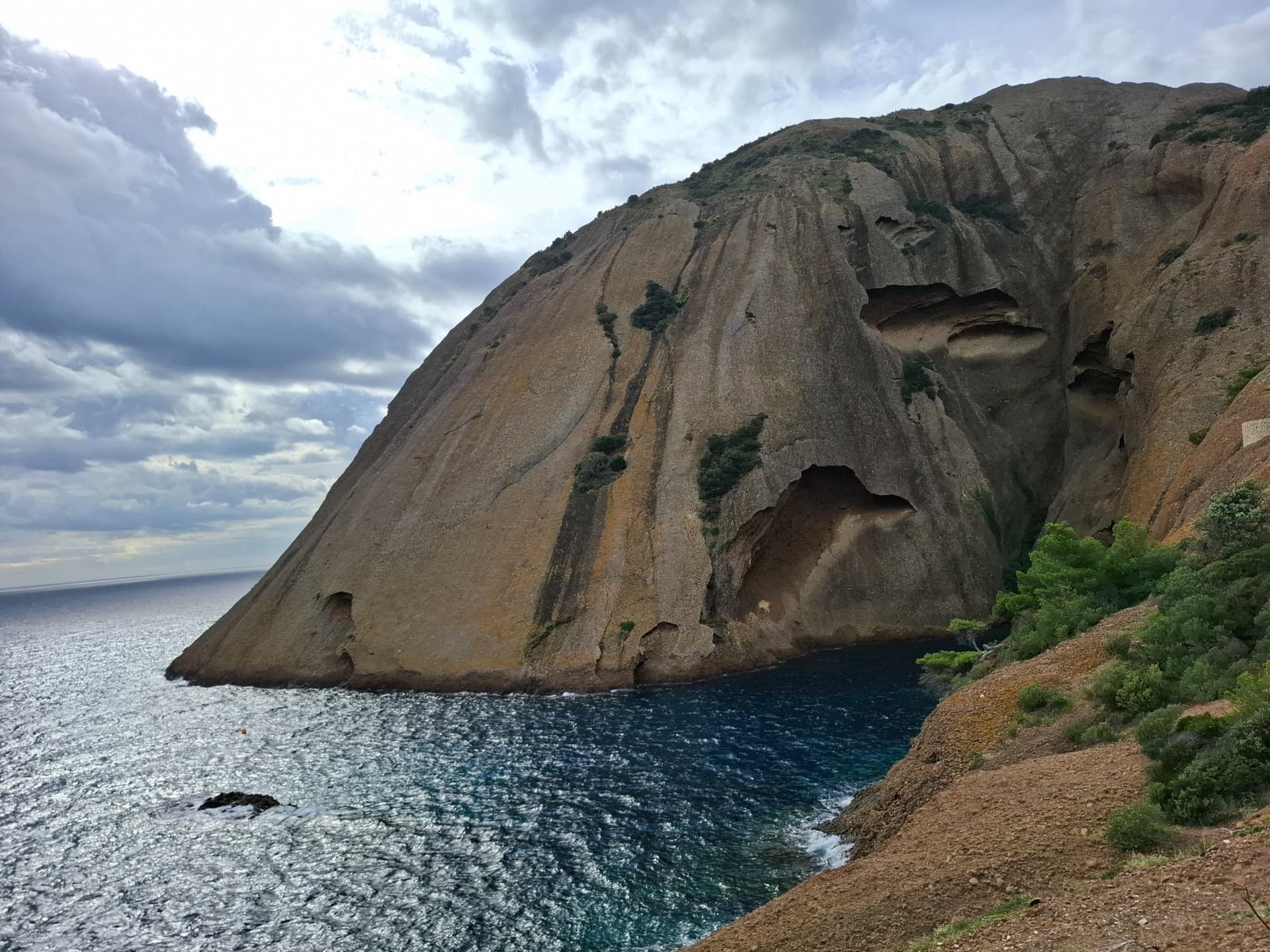
The east face of the Bec de l'Aigle, a single sweep of puddingstone falling into the Anse du Sec at La Ciotat, photographed on the approach to L'Atelier Bleu; the route climbs this face, the line is not marked.

France · Calanques

L'Atelier Bleu

An oddity: easy slabs and a long water-worn runnel up a dome of puddingstone above the sea, reached by abseiling into a cove from the Mugel park. The climbing is grade 3 and 4 on surprisingly solid pebbles. It was fully rebolted in 2024 and is a popular first multipitch.

4c6 pitches220 m
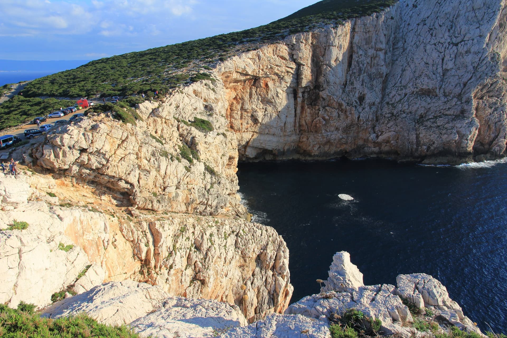
The limestone sea cliffs of Capo Caccia below the Foradada viewpoint car park, dropping straight into the sea.

Italy · Sardinia

Powaqqatsi

The easiest line on the Capo Caccia sea cliff: six pitches of 4b to 4c on pocketed, sharply sculpted limestone above the open sea. You abseil in from the top and climb out. The first two pitches are vegetated; the climbing proper starts on the pitch 3 slab.

4c6 pitches145 m

Read the cautionsCommitting

No photo yet

Italy · Aosta Valley

Spigolo Verde

A six-pitch arete of well-featured gneiss that is steeper than the grade suggests, with two short bolted traverses. Recent parties recommend it as a first multipitch: good rock, close bolts and a quick path down.

4c6 pitches225 m

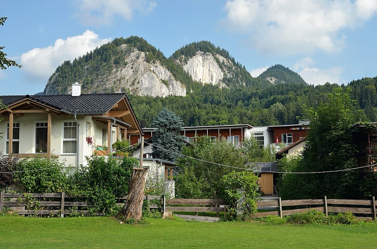
The Plombergstein and Steinklüfte cliffs above St. Gilgen, seen from the village

Austria · Salzkammergut

Juniperus

Five easy pitches up an edge above the Wolfgangsee, mostly UIAA 4 with a few moves of 5-. A slab low down and an exposed step across a cleft on pitch 4 are the memorable bits. A popular first multipitch.

4c5 pitches150 m

Compiled from published sources and last verified October 2026. Bolts, anchors and access change. Climbing is dangerous and you are responsible for your own decisions: check a current topo and read the disclaimer.