Multipitch Atlas

Berber

Mur du Scorpion · Todra Gorge (Todgha) · Morocco

Read the cautionsBail with caveatsBolting confidence: medium

The four-pitch line between Prisa Mata and La voie du Scorpion: three pitches around 6a on walls and a corner, then a fine pillar and a bulge at 6b+. Less homogeneous than its neighbours and with some flaky rock, but a worthwhile third route on the wall.

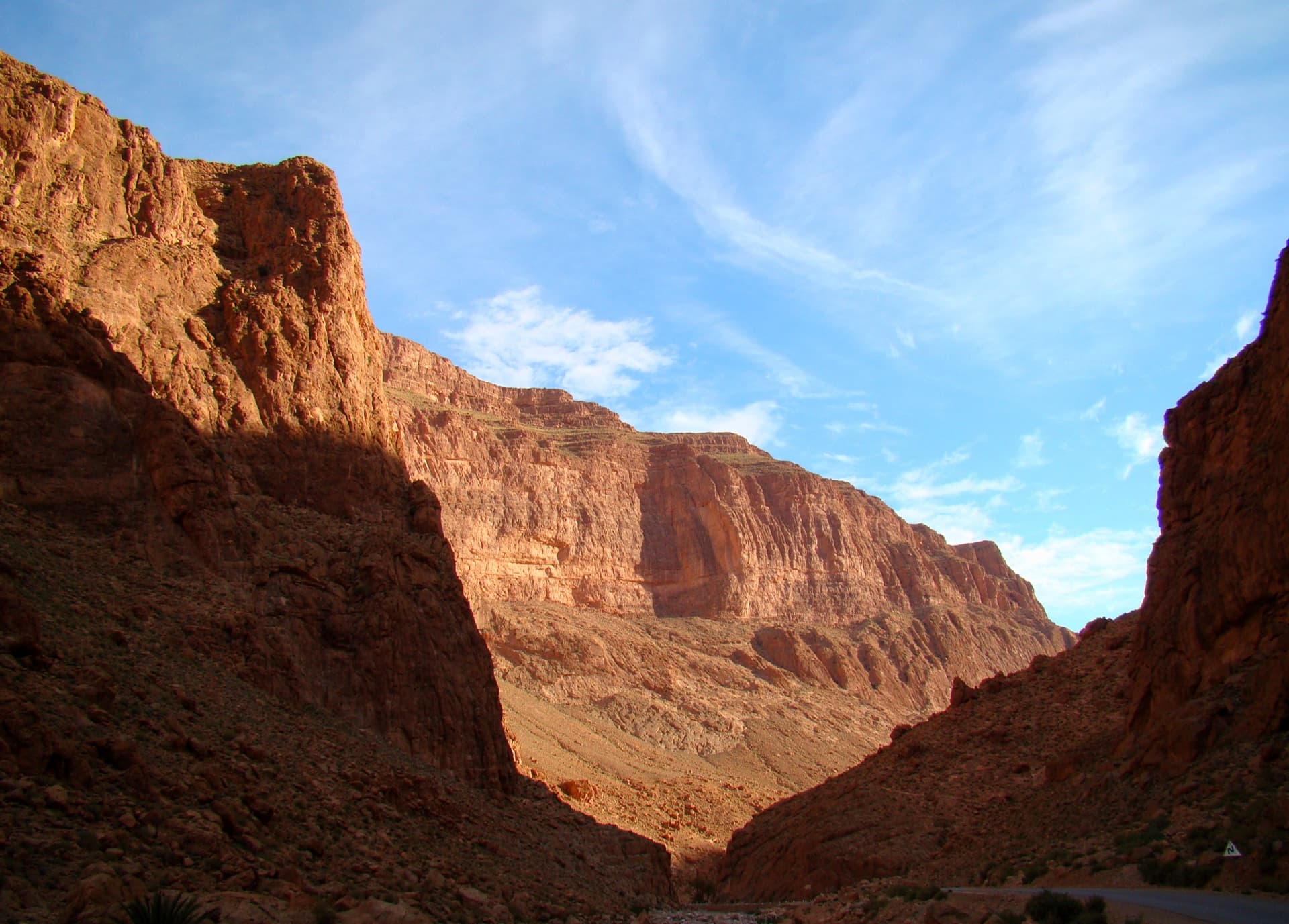
The Mur du Scorpion, in the sun from about 08:00 to 15:00 (image from the local topo team)Photo: Aventures verticales Maroc · CC BY-SA 3.0

Photo

The Mur du Scorpion, in the sun from about 08:00 to 15:00 (image from the local topo team)Photo: Aventures verticales Maroc · CC BY-SA 3.0
Hardest pitch
6b+
Pitches
4
Length
150 m
Approach
25 min
Aspect
SE
South-east-facing
Rope
Not stated
2×50 m is what the neighbouring routes need
Read before you go

Bolted with anchors at each belay, but the only detailed report is from 2018 and describes flaky rock and a loose block on the last pitch.

The route

Overview

Berber, listed as 'Un berber' on Mountain Project, climbs the Mur du Scorpion between Prisa Mata and La voie du Scorpion. It is shorter and easier than the Scorpion and harder than Prisa Mata, with the difficulty concentrated in short sections at the end of the first two pitches and in the bulge of the last. The only detailed account, from 2018, found it less memorable than its neighbours because some of the rock is flaky. It stops a little below the top of the wall. Treat it as a pleasant extra once you have done the two classics.

The climbing

Pitch by pitch

Pitches of Berber
PitchGradeNotes
P16a+Easy at first, with the climbing concentrated in the last metres up a corner on doubtful rock, bolted very closely. Mountain Project gives 5.10a (6a).
P26aFinishes up a fine abrasive wall. Linking pitches 1 and 2 gave a 2018 party a lot of rope drag.
P36aMore fine, delicate wall climbing.
P46b+An excellent pillar, then a bulge that is not straightforward: a poorly wedged block sits in the crack on the left, and the alternative on the right is a long, precarious reach. Exit on a huge hollow-sounding flake, then at the last bolt go left along a gully to the belay. Mountain Project gives 5.10c (6b).

Getting there

Approach

To the parking

Base yourself at the mouth of the gorge near Tizgui, about 15 km from Tinghir. Marrakech is the nearest international airport, roughly 7 hours by road; buses (CTM, Supratours) run Marrakech to Tinghir, then take a taxi or shared taxi up to the gorge. You do not need a car once there: the sectors are within walking distance of the gorge-entrance hotels and guesthouses. For this sector walk or drive through the gorge to its north exit.

On foot · about 25 min

About 25 minutes from the gorge exit. Walk about 100 m along the road towards Tamtatouch to where it crosses a dry river bed, then go up left by the easiest line following cairns to the cliffs and follow their base to the right to the wall with very large holes above a first small wall. Berber is the line between Prisa Mata and La voie du Scorpion; Mountain Project lists it as route 3 from the left.

Map of the walk-in

  • Crag

Loading map

The point marks the crag, not the exact start of the route.

Coordinates · crag

31.59322, -5.59883

Point from camptocamp waypoint 209507 (Mur du Scorpion)

For your phone or watch

Download GPX

Contains the route point. Opens in most mapping apps and GPS watches.

Points are compiled from published sources, with the precision stated above. They were not surveyed on the ground: check them against a current topo.

Getting down

Descent

Abseil the route (camptocamp). The abseil lengths are not given; on the neighbouring Prisa Mata the abseils are up to 50 m when belays are taken two at a time.

Retreat

Bailing off the route

Bail with caveats

Abseiling the route is the stated descent and Mountain Project reports an anchor at each belay, so retreat from any stance should be possible. Rope lengths and rigging are not documented.

Retreat from
Any belay.
Point of no return
None reported.
Carry
Two ropes; a maillon or two in case a belay is not rigged.
Basis
Part stated, part inferredAbseil descent and bolted belays are stated; the practical details are inferred from the neighbouring routes.

Partly inferred from the route facts

Safety

Hazards

  • Flaky and hollow rock in places: the corner on pitch 1, a loose block in the crack at the bulge on pitch 4 and a large hollow flake at the exit.
  • Pitch lengths and abseil lengths are not published; take care not to run out of rope on the way down.
  • There is no mountain rescue service in Morocco.

Sun and weather

Conditions

East to south-east facing at about 1,800 m, in the sun from about 09:00 to 15:00, with a fresh wind near the top. Spring and autumn are the usual seasons and the wall is climbed in winter sunshine. The one dated ascent was in late February.

Usual season · Mar to May, Oct to Nov

Sun on the wall · SE-facing

Working out the sunlit hours for this month.

  • January: not yet worked out
  • February: not yet worked out
  • March (usual season): not yet worked out
  • April (usual season): not yet worked out
  • May (usual season): not yet worked out
  • June: not yet worked out
  • July: not yet worked out
  • August: not yet worked out
  • September: not yet worked out
  • October (usual season): not yet worked out
  • November (usual season): not yet worked out
  • December: not yet worked out

Sun on the wallDaylight, wall in shade● Usual season

Estimated from the wall's aspect only. Ignores surrounding terrain, gullies and the wall's exact shape. Clock times are local to the wall (Moroccan time), for the 15th of each month.

Monthly climate averages for Todra Gorge (Todgha), 1991-2020
MeasureJanFebMar (usual season)Apr (usual season)May (usual season)JunJulAugSepOct (usual season)Nov (usual season)Dec
Mean daily high °C121317212529333227221613
Mean daily low °C−104812162019151041
Rain days 1 mm or more223222013322

● marks the usual climbing season. Averages for 1991-2020 at about 1641 m. Area climate from Open-Meteo reanalysis. Temperatures are adjusted to the height of the crag; rain comes from a grid cell of about 10 to 25 km, and summer highs on sea cliffs can read a few degrees low. The wall and valley can differ. Data: Open-Meteo, CC BY 4.0.

What to carry

Gear

10 quickdraws (Mountain Project). Two ropes for the abseils; the length needed is not stated, and 2×50 m is the minimum on the adjacent routes. Helmet.

Checklist

Quickdraws
10
Rope
Not stated; 2×50 m is what the neighbouring routes need
Helmet
One each
Abseil device and prusik
The descent or the retreat involves abseiling
Maillons or spare karabiners
To leave behind if you retreat

Derived from the route data; check it against a current topo

From climbers

Reader reports

Reader reports are not being collected yet. Until they are, check a current topo and the local club or guidebook publisher for recent changes to Berber.

Worth knowing

Tips

  • Do Prisa Mata or La voie du Scorpion first; the 2018 party climbed all three in a day between 10:00 and 16:00.
  • Do not link pitches 1 and 2 unless you extend your quickdraws.

Open questions

Where sources disagree

  • Name: 'Berber' on camptocamp, 'Un berber' on Mountain Project.
  • Grades: camptocamp gives 6a+, 6a, 6a, 6b+; Mountain Project 5.10a, 5.10a, 5.10a, 5.10c (6a, 6a, 6a, 6b). The 2018 party thought the last pitch 6b/6b+.
  • Length: 150 m on camptocamp, 152 m (500 ft, the same round figure as its neighbours) on Mountain Project. Individual pitch lengths are not published.

Provenance

Sources

Same area

More in Todra Gorge (Todgha)

All routes in Todra Gorge (Todgha)
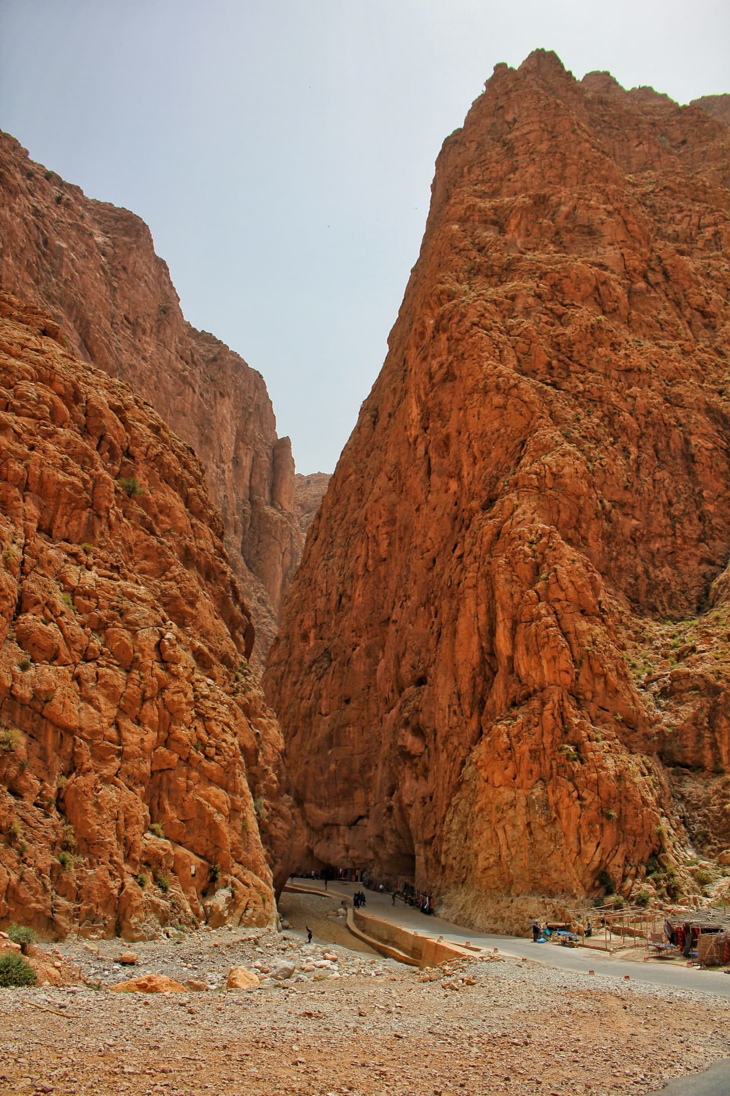
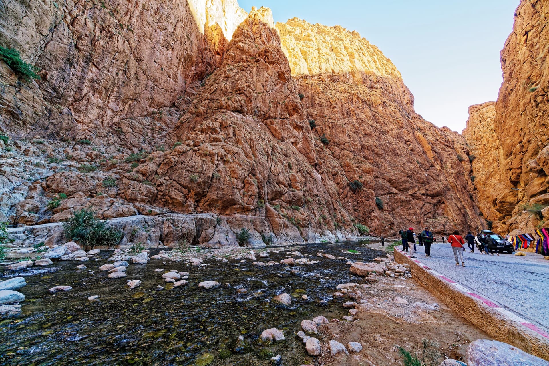
Inside the Todra narrows: the knobbly pointed buttress in the centre is the sector Les pieds dans l'eau, and the tall wall left of the gully beside it, in shade with a sunlit rim, is the Pilier du Couchant, which La Classique climbs.

Morocco · Todra Gorge (Todgha)

La Classique

The classic of the gorge, first climbed in 1977. Sustained and physical 6a climbing up cracks, corners and short bulges on the big pillar at the gorge entrance. The first pitch is the 6a+ crux, straight off the ground. Watch for loose blocks on the last pitch, shared with Chibania.

6a+9 pitches300 m

Read the cautions
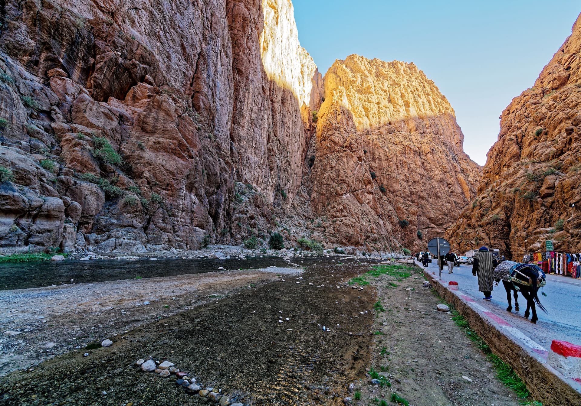
The narrows of the Todra Gorge in late afternoon light, a few minutes' walk upstream of the Mansour wall; a view of the gorge, not of this route's wall.

Morocco · Todra Gorge (Todgha)

Tiwira

A long, moderate line above the Mansour palm grove at the upstream end of the gorge. Mostly steady 5c with a 6a crack to start and a harder, very abrasive finish. Big views up the valley.

6b7 pitches300 m

The Todra Gorge looking upstream from above the narrows in morning light. The Paroi du Levant is further up the valley and is not identifiable in this view.

Morocco · Todra Gorge (Todgha)

Hannah chez les grands

Eight pitches up the middle of the Levant wall, with the 6a on the first pitch and steady 5a–5c above. Morning sun. Camptocamp rates the commitment a little higher than the gorge-floor routes because of the length.

6a8 pitches320 m

The upstream mouth of the Todra narrows: the road disappears into the slot and the great prow rising on its right is the Arête Nord.

Morocco · Todra Gorge (Todgha)

Une arête dans la gorge

The longest route in the gorge: 550 m of easy ridge climbing on the left as you leave the narrows. Sold locally as the beginner's first big bolted route. The first three or four pitches are in shade with a 7 am start; after that you are in the sun.

5c13 pitches550 m

Read the cautions

Around 6b+ · about 4 pitches

Similar elsewhere

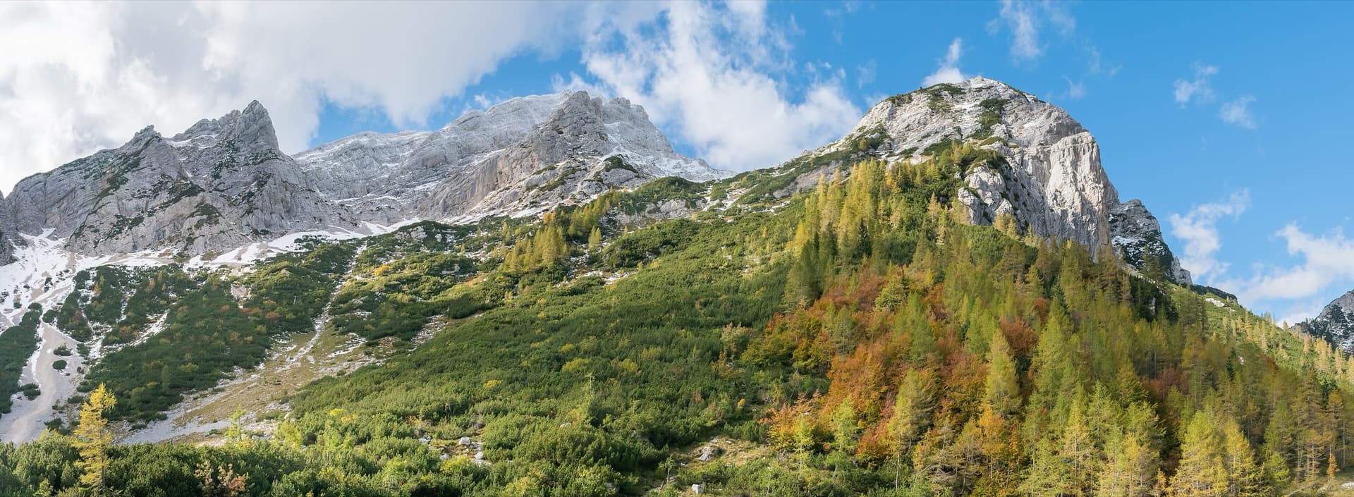
Mala Mojstrovka (left) and Nad Šitom glava (right) from the Vršič Pass in autumn; the routes are on the pale rock wall of Nad Šitom glava above the larches.

Slovenia · Vršič Pass (Julian Alps)

Črni panter

Sustained slab climbing up a striking black streak, clearly visible from the pass, on surprisingly good rock for this face. The crux is a move from slab into a corner on P2.

6b+4 pitches105 m

Read the cautions

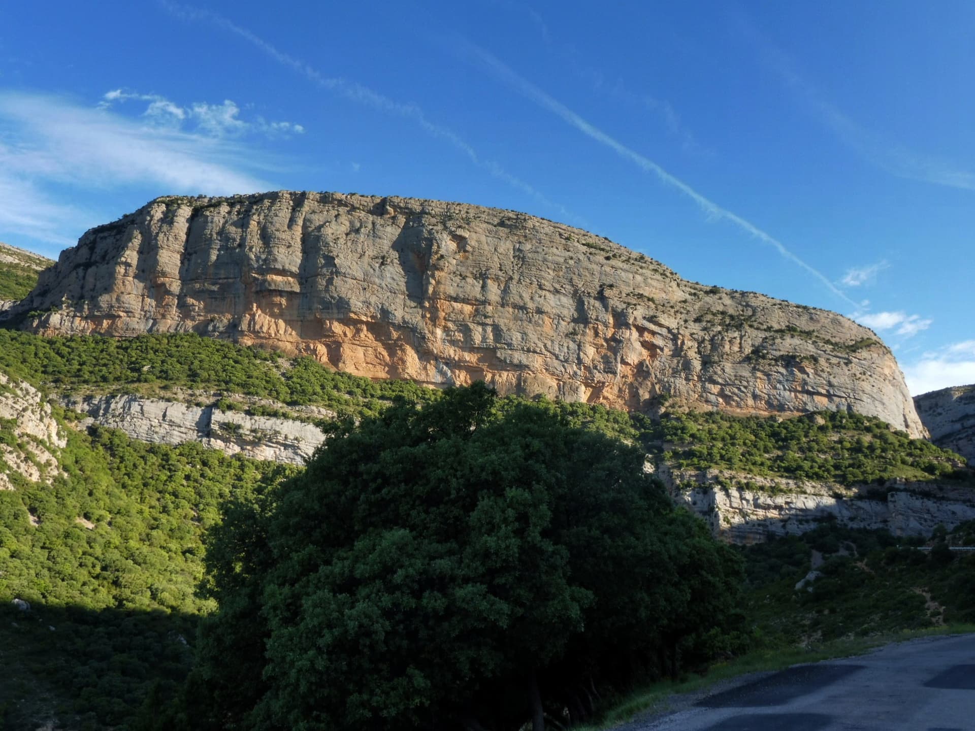
The south-east face of the Roca dels Arcs above the road from Vilanova de Meià, in the Montsec de Rúbies.

Spain · Vilanova de Meià (Roca dels Arcs)

El Somni de Quimfer

Four long, steep pitches on the left side of the Roca dels Arcs, sustained at 6a on good holds and not yet polished above the first pitch. The third pitch is the event: a reachy bulge to start, 30 m of gently overhanging strata, and a hard boulder move off a ledge to finish that most people grade 6c. That last move can be avoided by belaying on the neighbouring route.

6b+4 pitches160 m

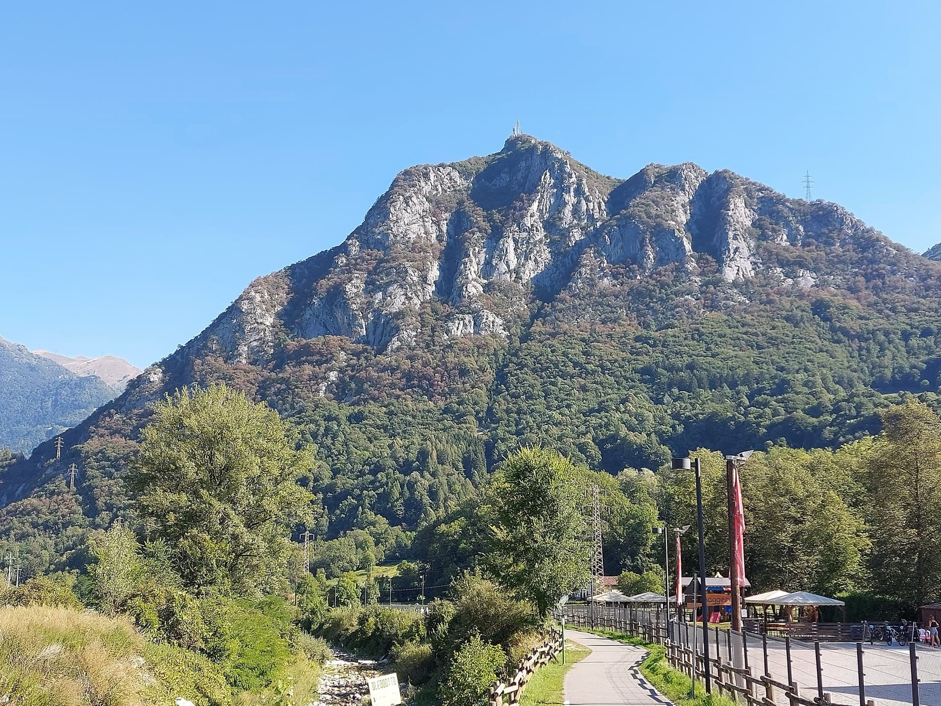
The Zucco dell'Angelone above the Valsassina, seen from Pasturo, with the antenna on its summit. The climbing spurs are the pale limestone ribs on the sunny side of the mountain above Barzio; individual spurs and routes are not marked.

Italy · Lecco & Valsassina

Foto di Gruppo con Signorine

Three friendly pitches up a striking arched flake and compact slabs, then a short wall with one hard, reachy move that most people pull through. A 1980 route by the Savonittos and Alessandro Gogna, and the usual first half of a link-up with Gli Schiavi della Pietra on the spur above.

6b+4 pitches90 m

Read the cautions

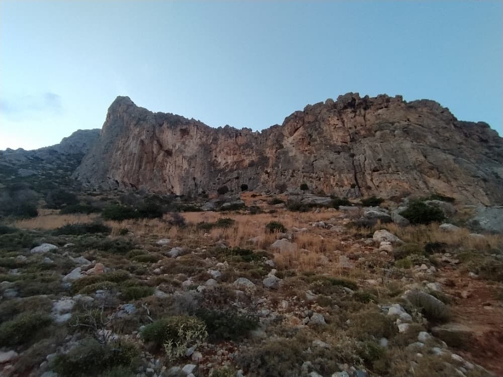
The Zobolo cliff from the approach; Erevnitis is on the highest part of the wall, on the left

Greece · Cape Maleas (Peloponnese)

Erevnitis

A four-pitch route on West Zobolo between Stin Ygeia Mas and Kipouros, alternating easier and harder pitches: 5b, 6a+, 5c and a 6b+ finish. Well supplied with bolts on paper, but documented only by the developers' topo table.

6b+4 pitches115 m

Read the cautions

Compiled from published sources and last verified October 2026. Bolts, anchors and access change. Climbing is dangerous and you are responsible for your own decisions: check a current topo and read the disclaimer.