Multipitch Atlas

Blüemlipfad

Hintisberg · Bernese Oberland · Switzerland

Easy to bailBolting confidence: medium

Six fairly short pitches on the left-hand sector of Hintisberg, left of the big overhangs. The first three are moderate and on less good rock; the upper three are steeper, with the 6a+ crux on small edges on pitch 4, and finish on a grassy top with the whole Bernese Oberland in view. Grades are on the stiff side.

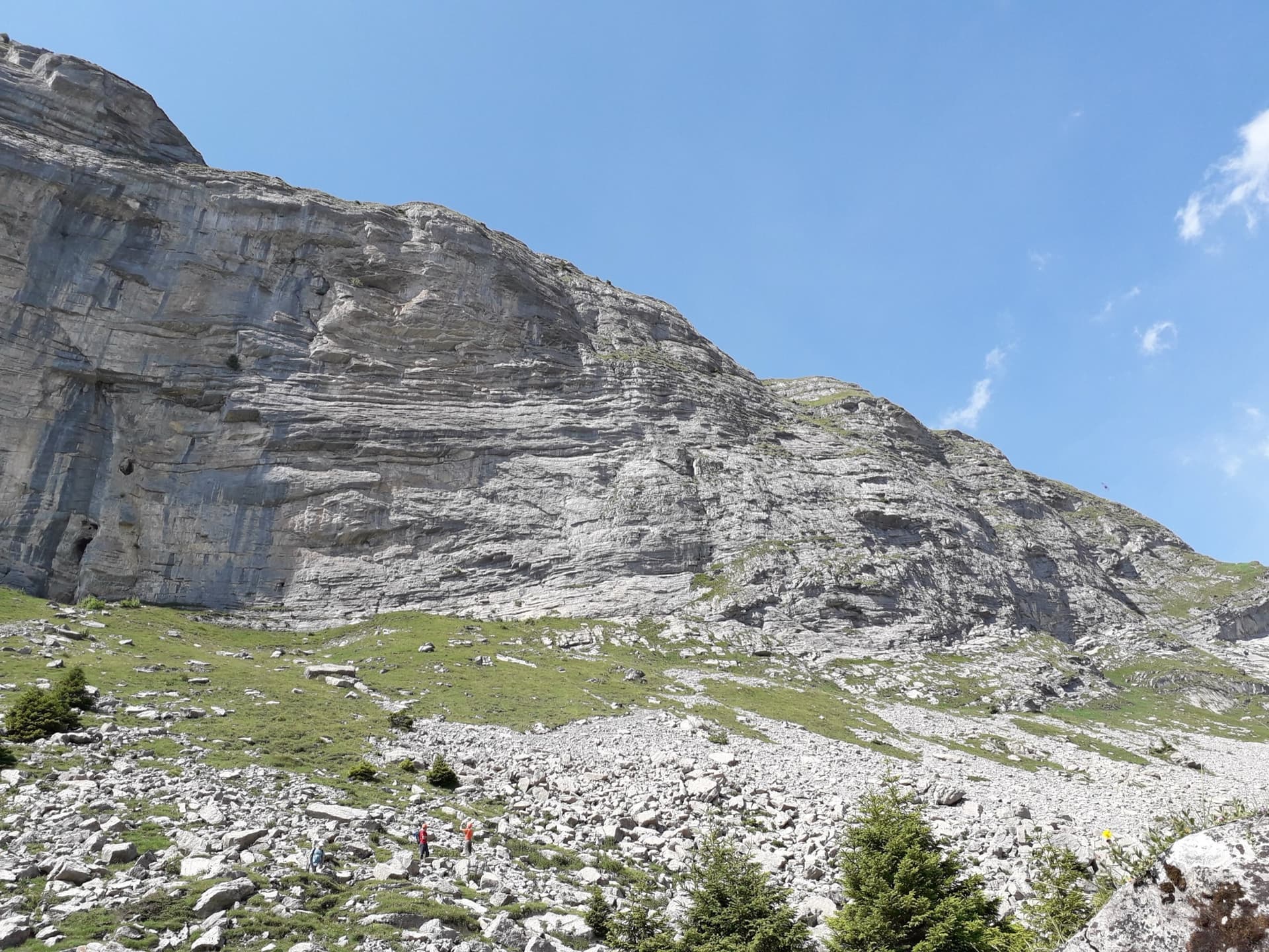
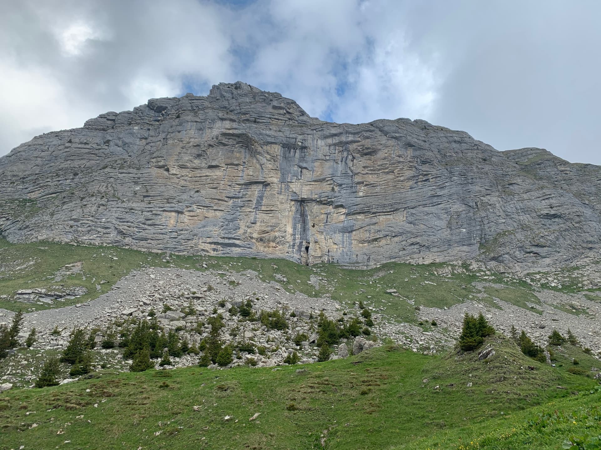
The Hintisberg wall from the alp; Blüemlipfad is on the left-hand sectorPhoto: Herve Sergeraert · CC BY-SA 3.0

Photo

The Hintisberg wall from the alp; Blüemlipfad is on the left-hand sectorPhoto: Herve Sergeraert · CC BY-SA 3.0
Hardest pitch
6a+
Pitches
6
Length
180 m
Approach
30 min
Aspect
S
South-facing
Rope
2×50 m

The route

Overview

Blüemlipfad, also written Bluemlipfad, is the classic of the left-hand sector, opened in 1992 by Rosemarie and Christian Bleuer. Its name is painted at the foot with a small flower. It shares the sector with Hasta la Vista (6c), which is easy to stray onto on the second pitch, and both routes top out on the same grassy edge. Opinions vary: some parties were underwhelmed by the lower pitches, while all praise the fourth pitch and the view.

The climbing

Pitch by pitch

Pitches of Blüemlipfad
PitchGradeNotes
P16aFace climbing to a two-bolt belay. When you see an abseil station to your left, keep going up. Mountain Project and one printed topo give 5c; a 2016 party climbing it wet agreed with camptocamp's 6a.
P25aAn easy slab with long gaps between bolts: a 2016 party reports 6 m to one clip. Stay left; trending right leads onto Hasta la Vista.
P35bStraightforward face climbing, the least interesting pitch.
P46a+The crux. Move up and left from the belay to a first bolt that is a long reach, then up small 'eyebrow' edges into the hard section. The best pitch of the route.
P56aUp and right from the belay; a strenuous pitch that ends on a grassy ledge. Mountain Project gives 5c+.
P66aThe corner above to the grassy top.

Getting there

Approach

To the parking

Leave the Interlaken to Grindelwald road at the Restaurant Stalden, go under the small railway tunnel and follow the toll road all the way up to Alp Hintisberg (1650 m). The toll was 10 CHF, paid at the restaurant, in older reports; camptocamp now mentions a ticket machine about 2 km up the road that takes coins or an app. Continue on the gravel track round a hairpin to the hamlet with the alp restaurant and dormitory, pass it and park 100 to 200 m further on at the marked space with a toilet. Park only there: the alp is farmed.

On foot · about 30 min

Walk back down the track about 60 m to a small water tank and take the marked path towards the cliff, leaving the Faulhorn path at a cairn. About 30 minutes. The route is on the left-hand part of the wall, left of the overhangs that stay dry in rain; look for the name and a painted flower at the foot.

Map of the walk-in

  • Crag
  • Parking

Loading map

The point marks the crag, not the exact start of the route.

Coordinates · crag

46.66126, 7.95266

Parking

46.65450, 7.95256

camptocamp access waypoint 241976 (Unterläger, 1795 m), the trailhead camptocamp links to the Hintisberg routes; park in the marked space just past the alp restaurant

Point from camptocamp waypoint 241971 (Hintisberg, top of the wall); Mountain Project places the crag at 46.6586, 7.9465

For your phone or watch

Download GPX

Contains the route point and parking. Opens in most mapping apps and GPS watches.

Points are compiled from published sources, with the precision stated above. They were not surveyed on the ground: check them against a current topo.

Getting down

Descent

Abseil the route. There are six abseils, but with 2×50 m you can do it in four by skipping R4 and R1. A 2016 party linked the two bolts of the second abseil station (the fifth belay) themselves, so carry a sling.

Retreat

Bailing off the route

Easy to bail

Abseiling the route is the normal descent and there is an abseil at every pitch (six in all), so you can go down from any belay. One station had two unlinked bolts in 2016.

Retreat from
Any belay.
Point of no return
None.
Carry
2×50 m ropes and a sling to link bolts if needed.
Basis
Stated in the sourcesCamptocamp describes six abseils down the route; the 2016 report covers the unlinked station.

Safety

Hazards

  • 3 to 6 m between bolts, with the longest gaps on the easy slab of pitch 2.
  • The first bolt of pitch 4 is high above the belay.
  • Route-finding on pitch 2: keep left to avoid Hasta la Vista (6c).
  • Rock on the first three pitches is not as good as higher up (2013 report).
  • One abseil station had two unlinked bolts in 2016.

Sun and weather

Conditions

The wall faces south to south-east between about 1900 and 2100 m and dries fast: parties report routes climbable an hour or two after a shower, though seepage lingers in places after heavy storms. It is hot in midsummer even at this height, so some parties wait for the afternoon shade. The season runs from late spring to autumn, and the toll road is kept in good condition. This sector was slower to dry than expected after an evening thunderstorm in August 2016: still wet at midday, much better by 16:00.

Usual season · Jun to Oct

Sun on the wall · S-facing

Working out the sunlit hours for this month.

  • January: not yet worked out
  • February: not yet worked out
  • March: not yet worked out
  • April: not yet worked out
  • May: not yet worked out
  • June (usual season): not yet worked out
  • July (usual season): not yet worked out
  • August (usual season): not yet worked out
  • September (usual season): not yet worked out
  • October (usual season): not yet worked out
  • November: not yet worked out
  • December: not yet worked out

Sun on the wallDaylight, wall in shade● Usual season

Estimated from the wall's aspect only. Ignores surrounding terrain, gullies and the wall's exact shape. Clock times are local to the wall (Central European time), for the 15th of each month.

Climate figures for Bernese Oberland are not available yet

What to carry

Gear

2×50 m ropes and a helmet. Mountain Project recommends 14 quickdraws. No extra protection is necessary; Mountain Project's author would not discourage a few pieces for the first bolt of pitch 4 and the slab.

Checklist

Quickdraws
14
Rope
2×50 m
Helmet
One each
Abseil device and prusik
The descent or the retreat involves abseiling
Slings
Mentioned for retreat

Derived from the route data; check it against a current topo

From climbers

Reader reports

Reader reports are not being collected yet. Until they are, check a current topo and the local club or guidebook publisher for recent changes to Blüemlipfad.

Worth knowing

Tips

  • Parties report about 3 hours for the route; the pitches are short.
  • The central overhangs nearby stay dry in rain but hold only much harder routes.

Open questions

Where sources disagree

  • Pitch grades: camptocamp gives 6a, 5a, 5b, 6a+, 6a, 6a; Mountain Project gives 5c, 5a, 5b, 6a+, 5c+, 6a. The card follows camptocamp.
  • Equipment: 'excellent' for a 2015 party; a 2016 party stresses 3 to 6 m between bolts.
  • Pitch lengths and bolt counts are not published.

Provenance

Sources

Same area

More in Bernese Oberland

All routes in Bernese Oberland
The limestone wall of Hintisberg seen from the meadows on the approach.

Switzerland · Bernese Oberland

Todi

Four pitches of steep, compact limestone opposite the Eiger: a stiff 6a+ warm-up, a short bouldery 7a crux on small edges, a 6b through little roofs on good holds, and a superb, sustained 7a wall of pockets to finish. Short enough to climb without a pack, and the 7a grades are reckoned friendly.

7a4 pitches120 m
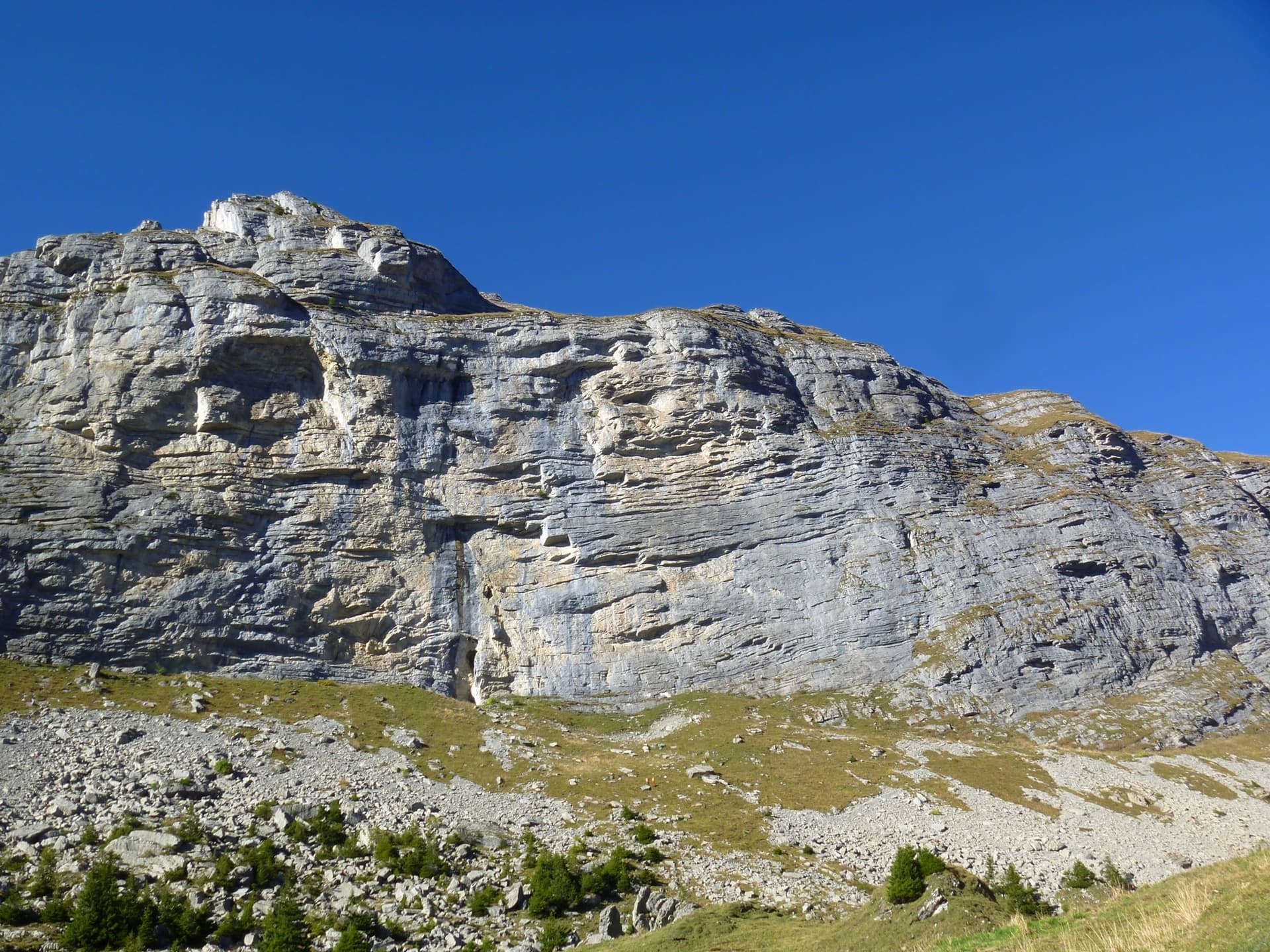
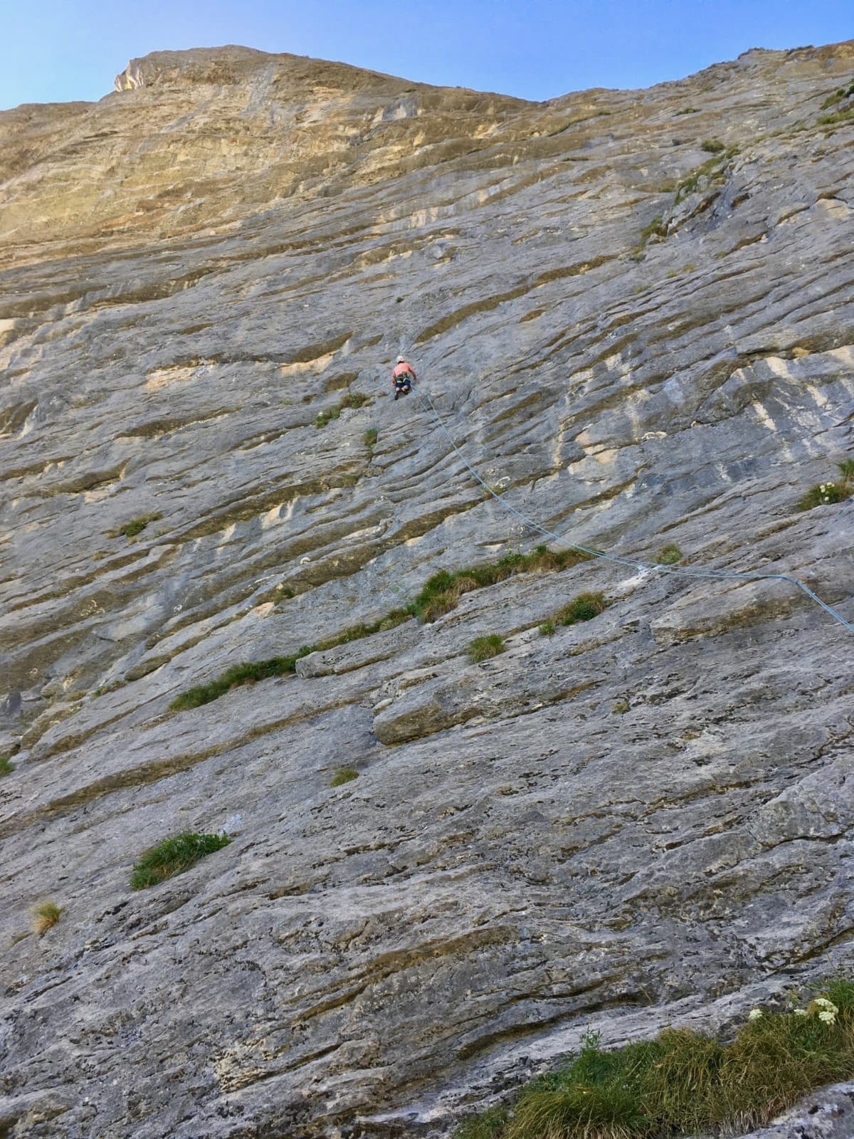
The Hintisberg wall seen from the alp below, on the day of an ascent of Schöne Aussichten

Switzerland · Bernese Oberland

Schöne Aussichten

The easiest long route at Hintisberg, seven pitches on the right side of the wall with the Eiger north face directly behind you. Varied limestone that improves with height: the last two pitches, both 5c, are the best and the hardest. Often quieter than Reisefieber next door.

5c7 pitches180 m

Part of the Hintisberg wall above the scree, seen from the approach

Switzerland · Bernese Oberland

Reisefieber

The most popular route at Hintisberg: six pitches from the lowest point of the wall, with slabs, a technical wall and small overhangs to turn. It gets better as it rises and ends on a superb wall of pockets, where the obligatory 6a crux lies. Expect a queue on fine weekends.

6a6 pitches200 m

A climber on the long first pitch of Tintangel

Switzerland · Bernese Oberland

Tintangel

Four pitches of steep, banded limestone left of Zick-Zack. A long opening pitch with big moves leads to the 6b+ crux, which packs a few fierce moves into its start; then come an athletic line through small roofs and a fine wall on small holds. Stiff grading in the Swiss manner.

6b+4 pitches120 m

Around 6a+ · about 6 pitches

Similar elsewhere

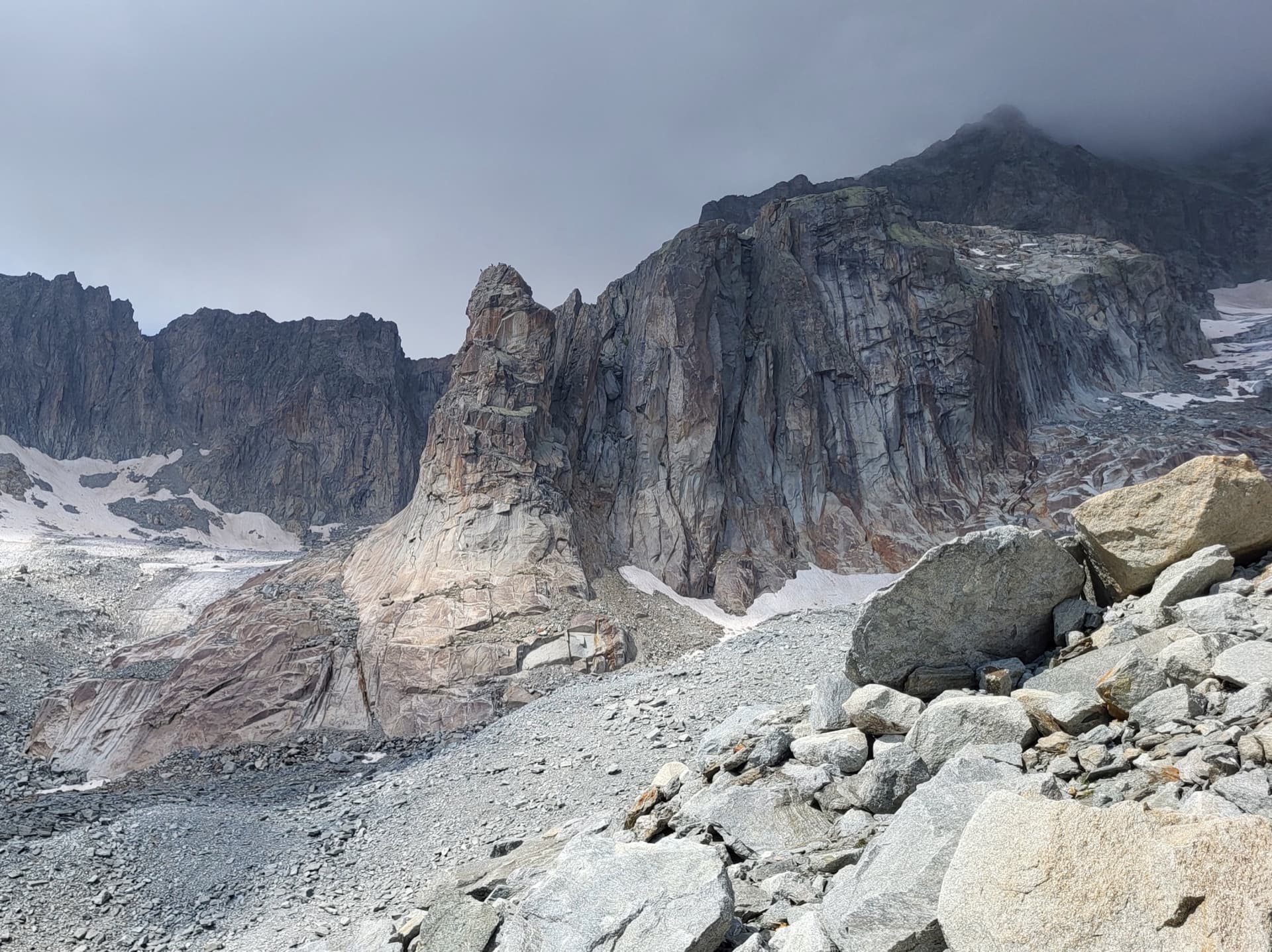
The Hannibalturm, a granite tower standing in front of the walls of the Gross Bielenhorn above the Sidelen glacier.

Switzerland · Furka

Conquest of Paradise

The classic of the Hannibalturm: six short, wandering pitches of slab, quartz veins, cracks and a 6a+ slab crux on perfect high-mountain granite at 2800 m. A bench and a bus-stop sign wait on the summit. Very popular, so expect company.

6a+6 pitches180 m

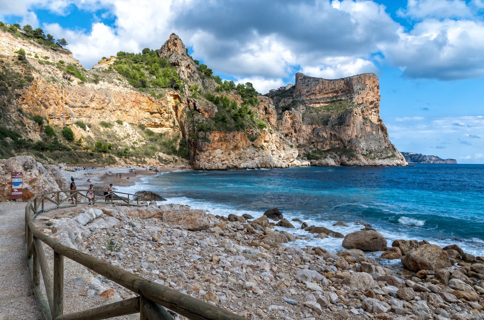
The flat-topped sea cliff of Morro Falquí closing the south end of Cala del Moraig, Benitatxell. Sonjannika climbs on this headland; the line cannot be pointed to from here.

Spain · Costa Blanca (Morro Falquí)

Sonjannika

A superb sea-cliff multipitch. P4 makes an impressive exposed exit from a cave with 100 m of air below, and the 6a+ P5 has a chimney and fingery slab. Balancy, airy and great for introducing someone to multipitch.

6a+6 pitches170 m

Read the cautions

The summit of Le Brévent and the rock face beneath its cable-car station, seen from the Chamonix valley; the Voie Frison-Roche climbs this south-east face, the exact line is not marked.

France · Chamonix valley

Voie Frison-Roche

The great classic of the Aiguilles Rouges: six varied pitches of gneiss, ten minutes downhill from the Brévent cable car and finishing at its top station, with Mont Blanc opposite. The crux is a short, physical corner crack and the last pitch is a long, clean corner. It is extremely popular.

6a+6 pitches200 m

The Manikiatis gorge at Manikia, Evia, seen from Ano Monodry

Greece · Manikia (Evia)

Efcharístisi

An even-graded route in a beautiful gorge setting: pocketed and sculpted slabs below, steeper walls above, with one athletic 6a+ move on P5. There are short walking transitions between the lower tiers.

6a+6 pitches200 m

Compiled from published sources and last verified October 2026. Bolts, anchors and access change. Climbing is dangerous and you are responsible for your own decisions: check a current topo and read the disclaimer.