Multipitch Atlas

Du 4+ sinon rien

Falaise de l'Encoula – Barfly · La Bérarde (Écrins) · France

Read the cautionsBail with caveatsBolting confidence: high

A long slab route in a quiet side valley above La Bérarde, high on a north-east wall facing the big Écrins summits. Two short 6a walls and a sustained 5c slab stand out from ground that is mostly 5a to 5b and lies back to pure friction near the top. Despite the name, 5b is obligatory.

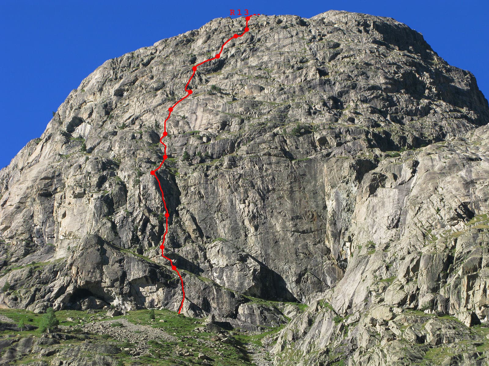
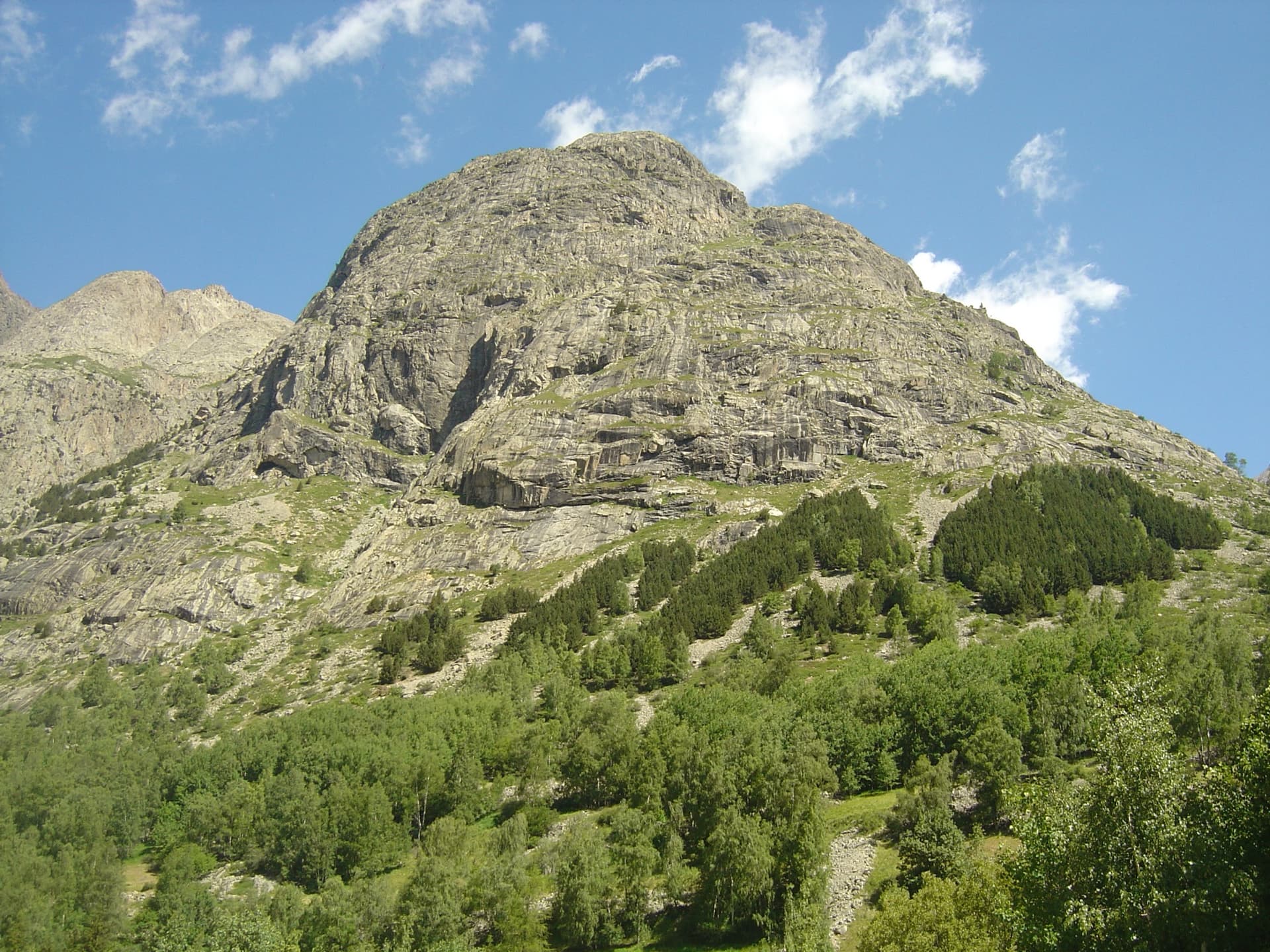
Overview of the Barfly sector of the Encoula cliff with the approach markedPhoto: Thierry Lafue · CC BY-SA 3.0

Photo

Overview of the Barfly sector of the Encoula cliff with the approach markedPhoto: Thierry Lafue · CC BY-SA 3.0
Hardest pitch
6a
Pitches
12
Length
400 m
Approach
60 min
Aspect
NE
North-east-facing
Rope
2×50 m
Read before you go

Fully rebolted and reported very well equipped in 2022, but there is no trip report since August 2023 and the approach has not been confirmed since the 2024 flood.

The route

Overview

Du 4+ sinon rien climbs about 400 m of granite slabs on the Barfly sector of the Encoula cliff, an hour's walk up the Pilatte valley from La Bérarde. The interest is concentrated in the first two thirds: a short strenuous wall on undercuts on pitch 2, two subtle 5b pitches and a sustained 5c slab. Higher up the angle eases until you are padding up flat slabs. It was fully rebolted in 2020 to 2021. Camptocamp warns that the name and the old guidebook comment are misleading: the route is not straightforward and you cannot get up it on grade 4 and aid alone.

The climbing

Pitch by pitch

Pitches of Du 4+ sinon rien
PitchGradeNotes
P15b–
P26aA hard passage near the start: a short, strenuous wall on undercuts. It can be aided.
P33A linking pitch to the left. ONOS notes that the abseil from R3 to R2 is 20 m and very oblique.
P45bThe first of two fine pitches that are less obvious than the grade suggests.
P55bSimilar.
P65cSustained slab on good holds where you have to weave about. Aidable.
P75a–
P84cThe difficulties ease.
P95aA slab rising slightly rightwards.
P104Low-angle friction slab.
P116aA short hard wall that goes at A0 if needed; a 2022 party graded it 5c.
P12–A linking pitch up to the top of 'Dix-huit tentatives', protected by a couple of bolts.

Getting there

Approach

To the parking

La Bérarde is the last hamlet of the Vénéon valley, at the end of the D530 from Bourg d'Oisans (Grenoble side). A flood on 21 June 2024 wrecked much of the hamlet and swept away the car park in the riverbed, and road access has been restricted since. In summer 2025 the road was closed to general traffic beyond Saint-Christophe-en-Oisans, with shuttles from Bourg d'Oisans. In 2026 a June party found the road still closed with a shuttle promised for July; a party on 18 August took the first shuttle from Bourg d'Oisans at 06:20 and was in La Bérarde at 07:25; and a report dated 9 September 2026 says the hamlet can be reached by car again, with parking beside the reception chalet out of respect for residents. Check the current rules before you travel: the Maison du Département de l'Isère in Bourg d'Oisans (04 76 80 03 48) and the Saint-Christophe-en-Oisans town hall publish them. Do not count on the pre-flood shops and lodging; confirm what is open.

On foot · about 60 min

From La Bérarde walk up the Pilatte valley on the left bank of the Vénéon. Cross the bridge over the Ravin du Sac, the stream that comes down from the Encoula, and reach the big grass slope beyond it. A cairn marks the start of a track up this slope; a 2023 party places it a few minutes after the gullied stream, where a footbridge was in place. Near the wall follow the track left through bushes and along the cliff until you touch the rock at the start of 'Dix-huit tentatives' (18T painted in blue). The route starts a few metres further left. Allow 1 hour; the last part is steep and overgrown, so watch for cairns. No report describes this approach since the June 2024 flood.

Map of the walk-in

  • Crag
  • Parking

Loading map

The point marks the crag, not the exact start of the route.

Coordinates · crag

44.91803, 6.29781

Parking

44.93268, 6.29186

La Bérarde road end and trailhead (camptocamp waypoint 106909). The riverbed car park was destroyed in 2024; check current access and where parking is allowed

Point from camptocamp waypoint 40623 (Falaise de l'Encoula / Barfly)

For your phone or watch

Download GPX

Contains the route point and parking. Opens in most mapping apps and GPS watches.

Points are compiled from published sources, with the precision stated above. They were not surveyed on the ground: check them against a current topo.

Getting down

Descent

Abseil 'Dix-huit tentatives', whose stations are obvious and clean, with little risk of snagged ropes or dislodged stones; a 2018 party took 1 h 45 over the abseils. You can also abseil the route itself with 2×45 m or more, but ONOS calls this less practical because of the oblique abseil from R3 to R2.

Retreat

Bailing off the route

Bail with caveats

The route is descended by abseil, so going down from part-way is feasible with two ropes. ONOS says the route itself can be abseiled with 2×45 m, with one very oblique 20 m abseil between R3 and R2; the cleaner line is the neighbouring 'Dix-huit tentatives', reached from the top.

Retreat from
Belays on the route, by abseil.
Point of no return
None stated. From high on the route it is quicker to finish and use the abseils of 'Dix-huit tentatives'.
Carry
Two ropes of at least 45 m, preferably 50 m.
Basis
Stated in the sourcesONOS rebolting log and camptocamp both give abseiling the route as a descent option.

Safety

Hazards

  • Road access to La Bérarde has changed every season since the 2024 flood (closure, shuttles, reopening in September 2026). Confirm it before leaving.
  • The latest trip report for this route is from August 2023. The approach uses bridges over side streams of the Vénéon, and nothing confirms their state since the 2024 flood.
  • The upper slabs are low-angled and featureless; before the rebolt a party lost the line there and strayed onto the neighbouring route.
  • The abseil descent is long. Start early and keep an eye on the weather.

Sun and weather

Conditions

North-east facing granite between roughly 2,100 and 2,500 m, higher and cooler than the Tête de la Maye. A report on the neighbouring route says the wall is in the sun until about 16:00 in mid-June. Expect a shorter season than on the south faces; July to September is assumed here. A late-July 2010 party remarked that there was no snow patch on the approach, which suggests there can be one earlier in the season. Afternoon storms are the main threat on a twelve-pitch route with a long abseil descent.

Usual season · Jul to Sep

Sun on the wall · NE-facing

Working out the sunlit hours for this month.

  • January: not yet worked out
  • February: not yet worked out
  • March: not yet worked out
  • April: not yet worked out
  • May: not yet worked out
  • June: not yet worked out
  • July (usual season): not yet worked out
  • August (usual season): not yet worked out
  • September (usual season): not yet worked out
  • October: not yet worked out
  • November: not yet worked out
  • December: not yet worked out

Sun on the wallDaylight, wall in shade● Usual season

Estimated from the wall's aspect only. Ignores surrounding terrain, gullies and the wall's exact shape. Clock times are local to the wall (Central European time), for the 15th of each month.

Climate figures for La Bérarde (Écrins) are not available yet

What to carry

Gear

14 quickdraws and two 50 m ropes for the abseils. A sling to stand in if you plan to aid the 6a passages. Helmet. Approach shoes with grip for the steep, vegetated track.

Checklist

Quickdraws
14
Rope
2×50 m
Helmet
One each
Abseil device and prusik
The descent or the retreat involves abseiling

Derived from the route data; check it against a current topo

From climbers

Reader reports

Reader reports are not being collected yet. Until they are, check a current topo and the local club or guidebook publisher for recent changes to Du 4+ sinon rien.

Worth knowing

Tips

  • Go up this route and abseil 'Dix-huit tentatives', as the guidebook and most parties do.
  • A 2018 party took 1 hour for the approach, 4 h 40 on the route and 1 h 45 for the abseils.
  • The three hard passages are on pitches 2, 6 and 11; the rest needs a steady 5b leader.

Open questions

Where sources disagree

  • Rebolting: 2020 by Galley and Huss in the ONOS log; 2021 by Galley, Huss and Pauillac on camptocamp.
  • Pitch 11: 6a (A0) on camptocamp, 5c according to a 2022 party, who also counts it as the eleventh and last pitch; camptocamp adds a twelfth linking pitch.
  • Abseil ropes: 2×45 m minimum per ONOS, 50 m per camptocamp.
  • Altitude: the route page gives 1,732 to 2,500 m, the neighbouring route 2,100 to 2,400 m for the cliff itself.
  • Camptocamp's overall rating D- sits oddly with a 6a free grade and obligatory 5b.

Provenance

Sources

Same area

More in La Bérarde (Écrins)

All routes in La Bérarde (Écrins)
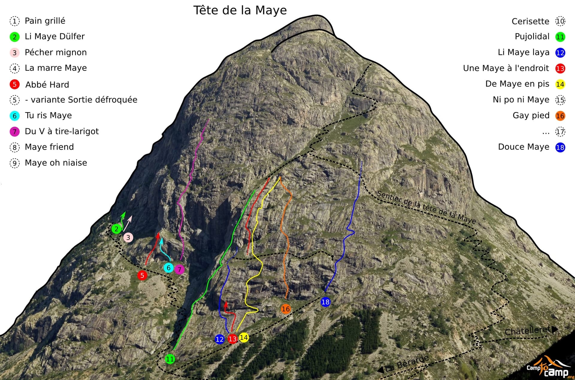
The granite slabs of the south face of the Tête de la Maye above the larches of La Bérarde; Pujolidal climbs this face, the exact line is not marked.

France · La Bérarde (Écrins)

Pujolidal

The great classic of the Tête de la Maye: 13 pitches of rounded granite slab above La Bérarde with nothing athletic until the last hard pitch, a flake and wide crack of 5c+ that everyone remembers. Recently rebolted and very closely protected. It is camptocamp's reference route for the overall grade D.

5c+13 pitches350 m
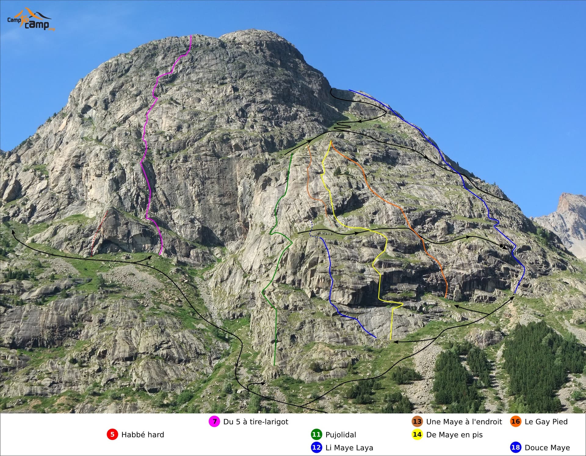
South face of the Tête de la Maye with route lines: Gay Pied is the orange line (16), Douce Maye the blue line on the right (18)

France · La Bérarde (Écrins)

Gay Pied

One of the easiest long routes on the Tête de la Maye: thirteen short pitches of low-angle granite slab, mostly grade 3 to 4, broken by a few steeper steps. The exception is the first pitch, a steep 5a/5b wall that is clearly the hardest and best climbing on the route.

5b13 pitches300 m

Topo photo of the Tête de la Maye; Douce Maye is line 18 on the right, crossing the hikers' path

France · La Bérarde (Écrins)

Douce Maye

A long, gentle introduction to multipitch: about fifteen pitches of easy-angled granite slab and short cracked steps, almost all at 4b, with one 5b move. The hikers' path crosses the route, giving easy escapes after pitches 6, 7, 8 and 13. Sunny from early morning.

5b15 pitches400 m

Du V à tire-larigot marked in red on the south face of the Tête de la Maye

France · La Bérarde (Écrins)

Du V à tire-larigot

The longest route on the Tête de la Maye at this grade and by far the most popular: fourteen pitches, sustained at 5b with three pitches of 5c. Steep steps, slabs, a roof, a layback crack on a pillar and a few grass ledges. The fives feel honest and only one 5b move is obligatory.

5c14 pitches400 m

Around 6a · about 12 pitches

Similar elsewhere

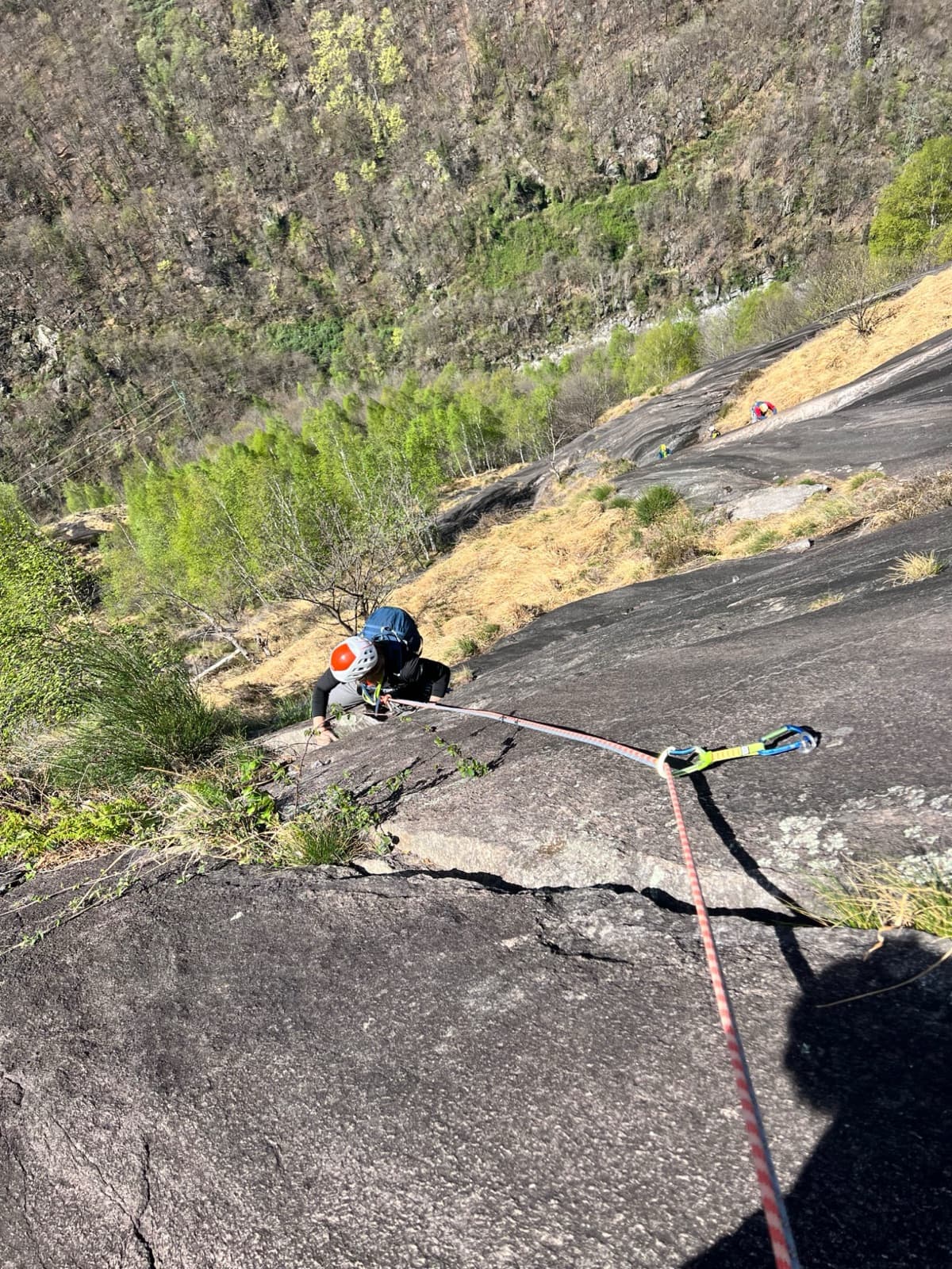
A view of the region, not this route's wall. Looking down the dark gneiss slabs of Il Solitaire above the Val d'Ossola.

Italy · Val d'Ossola

Il Cammino del Sole

Twelve long pitches of sunny gneiss slab above Oira, mostly 4c to 5b+ with two 6a pitches: a thin slab at the start and an athletic corner on pitch 10. Pitches are up to 55 m. A winter-sun route with a summit book and plaques at both ends.

6a12 pitches530 m

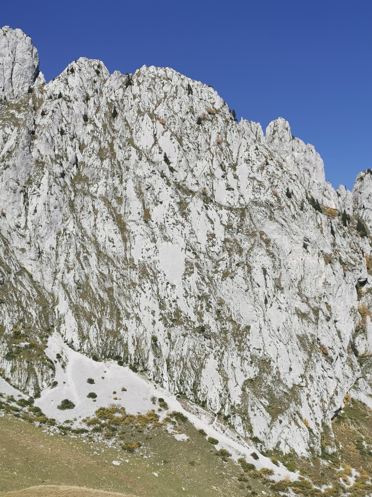
The pale limestone south face of the Pfadflue (Grand Pfad) in the Gastlosen.

Switzerland · Gastlosen

Salü Jan

One of the busiest routes in the Gastlosen: homogeneous, technical climbing on beautiful fluted slabs (cannelures) that dry fast. The top third is broken by grassy ledges.

6a12 pitches380 m

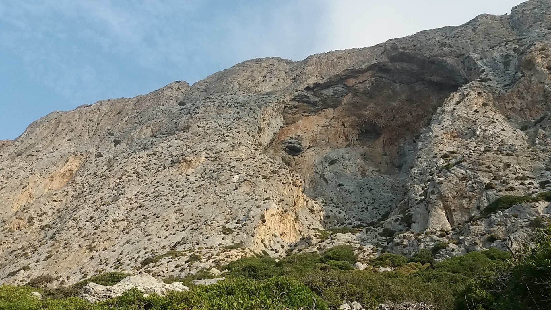
The south face of Telendos and its great cave, seen from the approach.

Greece · Kalymnos & Telendos

Wings for Life

The first route on the wall (Odermatt and Keller, 2008), climbing a long, exposed line on sharp, grippy rock right of the huge roof. The lower pitches are easy for the grade. The two 6a cruxes are a short odd corner over a small roof and a traverse high up, and they come with big exposure. Pitches are short, so you can link them with long draws.

6a11 pitches250 m

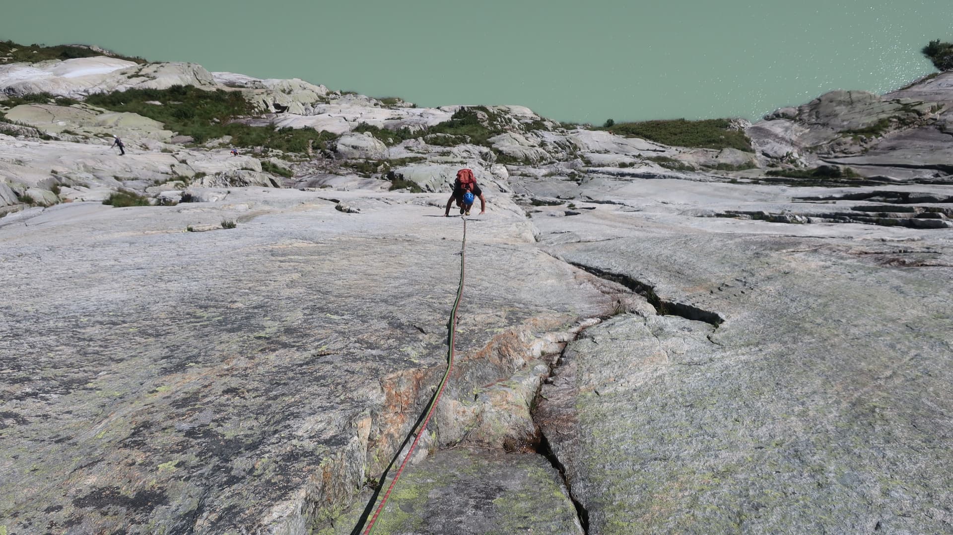
A climber on the pale granite of Grimselstrom, the Seeplatten slabs dropping to the milky green Räterichsbodensee.

Switzerland · Grimsel

Grimselstrom

Glacier-polished slabs straight above the Räterichsboden dam. Four warm-up pitches lead to sustained 5b–5c slab and a short fissured roof (6a or A0).

6a11 pitches220 m

Read the cautions

Compiled from published sources and last verified October 2026. Bolts, anchors and access change. Climbing is dangerous and you are responsible for your own decisions: check a current topo and read the disclaimer.