Multipitch Atlas

Pujolidal

Tête de la Maye – south face · La Bérarde (Écrins) · France

Bail with caveatsBolting confidence: high

The great classic of the Tête de la Maye: 13 pitches of rounded granite slab above La Bérarde with nothing athletic until the last hard pitch, a flake and wide crack of 5c+ that everyone remembers. Recently rebolted and very closely protected. It is camptocamp's reference route for the overall grade D.

Routes on the south face of the Tête de la Maye; Pujolidal is the green line (number 11)Photo: Michmuch38, Bruno Besson, Céline Stern-Kiener · CC BY-SA 3.0

Topo

Routes on the south face of the Tête de la Maye; Pujolidal is the green line (number 11)Photo: Michmuch38, Bruno Besson, Céline Stern-Kiener · CC BY-SA 3.0
Hardest pitch
5c+
Pitches
13
Length
350 m
Approach
25 min
Aspect
S
South-facing
Rope
1×50 m
walk-off

The route

Overview

Pujolidal starts at the lowest point of the south face of the Tête de la Maye and climbs 350 m of excellent granite, mostly on friction. The first four pitches are easy and often climbed moving together; the 5b pitches (5, 9 and 10) are compact slab; pitch 11, a layback flake followed by a wide crack, is the crux and the best pitch. A 5b variant avoids it. The 2022 rebolt left the route very closely equipped, which makes it a good first long route at the grade. Expect heat: the face takes the sun all day.

The climbing

Pitch by pitch

Pitches of Pujolidal
PitchGradeLengthNotes
P13b30 mEasy-angled spur. Often linked with pitch 2, skipping bolts.
P24c30 mA 2025 party describes pitches 1 and 2 together as grade 3 with one move of 5a.
P33c30 mEasy slab.
P44b30 mTrending left.
P55b30 mA fine compact slab; the steepest of the 5b pitches, on good holds.
P6225 mSteps, almost walking; belay at a big block. It can be run into pitch 7 with a 60 m rope and a few metres of moving together, at the cost of heavy rope drag.
P74b25 mA traverse left across slabs.
P83b30 mEasy.
P95b30 mA short passage of smooth slab.
P105b25 mFine slab on very good granite. Near the end follow the bolts that slant left towards a big corner, where a chained belay is visible. Bolts going right here are the easier variant.
P115c+25 mThe crux and the highlight: a flake climbed by layback and friction, then a wide crack. A 2026 party found it nearer 5c than 6a.
P124b25 mEasier slab. Many parties stop here and walk on.
P13320 mEasy ground to the top.

Getting there

Approach

To the parking

La Bérarde lies at the end of the Vénéon valley road from Le Bourg-d'Oisans through Saint-Christophe-en-Oisans. Since the flood of 21 June 2024 destroyed the riverside car park, access has been restricted: parties in 2025 and 2026 arrived by shuttle (one names the last stop as Combe Noire) or by electric bike from Saint-Christophe, and one 2025 party found the huts and restaurants short of supplies. Check the current road and shuttle arrangements before travelling.

On foot · about 25 min

About 25 to 30 min. From the entrance of the village (or the shuttle stop, following the road) take the signposted path that climbs into the wood. Go right at the first junction and left at the second, follow the path through the wood and into the scree, and go left at a junction in the scree. The route starts at the lowest point of the cliff, on an easy-angled spur with bolts visible. If you cannot see them, go up a little on the left to a small step.

Map of the walk-in

  • Crag
  • Parking

Loading map

The point marks the crag, not the exact start of the route.

Coordinates · crag

44.94392, 6.28912

Parking

44.93268, 6.29186

La Bérarde (camptocamp waypoint 106909); car park destroyed in 2024, check current access

Point from camptocamp waypoint 39728

For your phone or watch

Download GPX

Contains the route point and parking. Opens in most mapping apps and GPS watches.

Points are compiled from published sources, with the precision stated above. They were not surveyed on the ground: check them against a current topo.

Getting down

Descent

From the top (or from the end of pitch 12) continue up by a faint path until you meet the hiking path of the Tête de la Maye, and follow it down to the right to La Bérarde. About 1 h.

Retreat

Bailing off the route

Bail with caveats

No source describes retreating from the route. Most belays are linked with cord or chained and the pitches are short, so abseiling from the lower half looks feasible with a long enough rope, leaving a maillon where a belay is only corded. Pitch 7 traverses left, and from the terraces at pitch 6 it may be possible to walk off, but neither is documented.

Retreat from
Lower pitches, belay to belay (inferred). Above pitch 10 the easier 5b variant and the short remaining distance make going up the simpler option.
Point of no return
Not documented.
Carry
A rope that lets you abseil 30 m pitches (60 m single doubled, or two ropes), plus maillons and cord.
Basis
Inferred from the route factsCamptocamp states only that most belays are linked or chained and that the descent is on foot.

Partly inferred from the route facts

Safety

Hazards

  • Heat and sun exposure on a long slab route.
  • Pitch splits on the ground do not always match the topo, and bolts of neighbouring lines are close by; at the end of pitch 10 make sure you take the left-slanting line for the original crux pitch.
  • Road access to La Bérarde has been restricted since the 2024 flood.

Sun and weather

Conditions

South-facing between about 1850 and 2200 m, climbable from May to October. In summer it can be very hot despite the altitude; take plenty of water and start early. A valley breeze sometimes helps.

Usual season · May to Oct

Sun on the wall · S-facing

Working out the sunlit hours for this month.

  • January: not yet worked out
  • February: not yet worked out
  • March: not yet worked out
  • April: not yet worked out
  • May (usual season): not yet worked out
  • June (usual season): not yet worked out
  • July (usual season): not yet worked out
  • August (usual season): not yet worked out
  • September (usual season): not yet worked out
  • October (usual season): not yet worked out
  • November: not yet worked out
  • December: not yet worked out

Sun on the wallDaylight, wall in shade● Usual season

Estimated from the wall's aspect only. Ignores surrounding terrain, gullies and the wall's exact shape. Clock times are local to the wall (Central European time), for the 15th of each month.

Climate figures for La Bérarde (Écrins) are not available yet

What to carry

Gear

14 quickdraws and a rope of at least 50 m. No rope is specified on camptocamp; there is no abseil. Helmet.

Checklist

Quickdraws
14
Rope
1×50 m (walk-off)
Helmet
One each
Maillons or spare karabiners
To leave behind if you retreat
Cord
Mentioned for retreat

Derived from the route data; check it against a current topo

From climbers

Reader reports

Reader reports are not being collected yet. Until they are, check a current topo and the local club or guidebook publisher for recent changes to Pujolidal.

Worth knowing

Tips

  • Easier variant from the end of pitch 10: follow the bolts going right for a 5b pitch, then rejoin the original line on pitch 12.
  • Confident parties move together to the top of pitch 4.
  • Allow 3 h 30 min to 4 h 30 min on the route.

Open questions

Where sources disagree

  • Pitch lengths and count: camptocamp lists 13 pitches of 20 to 30 m. A September 2025 party says this does not match the ground and recorded 14 pitches, several of 40 m, preferring the Cambon topo. Treat the lengths as indicative.
  • Who paid for the 2022 rebolt hardware: the ONOS page credits a local hotel (Champ de Pin) and the equippers themselves; camptocamp mentions only the names.

Provenance

Sources

Around 5c+ · about 13 pitches

Similar elsewhere

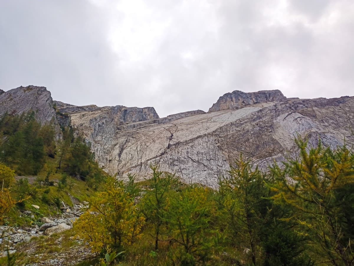
The Miroir d'Argentine seen from Solalex

Switzerland · Vaud Alps

Remix

The bolted way up the Miroir d'Argentine: fourteen pitches of compact limestone slab, with the difficulties in the first four pitches and long, easy, run-out friction above. A big day out at a modest grade with a mountain walk-off. Do not underestimate it.

5c+14 pitches400 m

Read the cautions
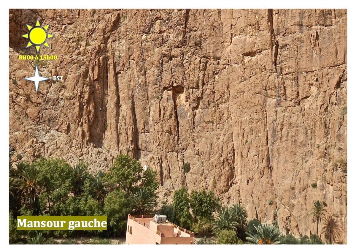
Mansour Gauche sector, Todra Gorge

Morocco · Todra Gorge (Todgha)

Berbertraum

Thirteen short pitches, mostly grade 4, with two 5c steps. The longest pitch is 45 m. A big day of easy mileage in the sun above the palm grove.

5c13 pitches340 m

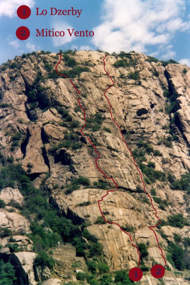
Topo of Lo Dzerby (line 1) and Mitico Vento on the Corma di Machaby, Arnad

Italy · Aosta Valley

Lo Dzerby

A long, easy-angled outing up the full height of the Paretone. A steeper lower half with an exposed pillar on P5 leads to sculpted slabs and broken steps higher up. It's a good first big multipitch.

5c13 pitches400 m

No photo yet

Italy · Val d'Ossola

Il Cammino del Sole

Twelve long pitches of sunny gneiss slab above Oira, mostly 4c to 5b+ with two 6a pitches: a thin slab at the start and an athletic corner on pitch 10. Pitches are up to 55 m. A winter-sun route with a summit book and plaques at both ends.

6a12 pitches530 m

Compiled from published sources and last verified October 2026. Bolts, anchors and access change. Climbing is dangerous and you are responsible for your own decisions: check a current topo and read the disclaimer.