Multipitch Atlas

Lo Dzerby

Paretone di Arnad / Corma di Machaby (Arnad) · Aosta Valley · Italy

Bail with caveatsBolting confidence: high

A long, easy-angled outing up the full height of the Paretone. A steeper lower half with an exposed pillar on P5 leads to sculpted slabs and broken steps higher up. It's a good first big multipitch.

Topo of Lo Dzerby (line 1) and Mitico Vento on the Corma di Machaby, ArnadPhoto: tomdc · CC BY-SA 3.0

Topo

Topo of Lo Dzerby (line 1) and Mitico Vento on the Corma di Machaby, ArnadPhoto: tomdc · CC BY-SA 3.0
Hardest pitch
5c
Pitches
13
Length
400 m
Approach
10 min
Aspect
SW
South-west-facing
Rope
1×50 m

The route

Overview

Lo Dzerby is a long, easy route up the left side of the Paretone above Arnad, in the Case Fara sector: 13 pitches and about 400 m to the top of the Corma di Machaby. The lower half is steeper, with two short 5c cruxes on P4 and P5 and an airy pillar; above that it is sculpted gneiss slabs, a vegetated ledge and broken steps. The difficulties are short and the rest is straightforward, which makes it a good first long route. The rock is very good, but the line is discontinuous, with two walking links.

The climbing

Pitch by pitch

Pitches of Lo Dzerby
PitchGradeNotes
P15aRunnelled slab, then a small corner. Belay on the left.
P23cEasy-angled slab with a short step at the end.
P35aA step, then traverse right to the 'gnome's ledge' (vire du nain). Gulliver gives 3c.
P45cOne hard move straight off the belay, then a leftward traverse across a black wall on big holds. Gulliver gives 5b; a 2026 party called it a genuine 5c move.
P55cA hard move to start (reported a bit greasy), then a ledge, which you leave by the slab on the right to climb a fine exposed pillar. Variant: stay on the ledge to a belay on the parallel route and climb its 5b corner, rejoining mid-way up P6.
P63Link pitch with one move in the middle; at the end go right to the pillar. Belay on a single bolt.
P74aUp the pillar to a well-sculpted face.
P84cContinue up the face to a hanging belay.
P95aThe top of the face steepens, then a rounded exit to the right.
P104cCross the 'garden' slightly leftwards, then a mossy runnel to the upper steps.
P113cClimbing up the steps.
P124aMore of the same.
P135bContinue to the exit slab. Other sources grade this pitch much easier (3 to 3c).

Getting there

Approach

To the parking

Arnad, lower Aosta valley, on the SS26 between Pont-Saint-Martin and Verrès. Park at the Gruviera crag car park next to the Osteria l'Arcaden; the other car park under the wall is closed. Camptocamp rates public transport to Arnad as a good service.

On foot · about 10 min

5–15 min. From the car park walk past the osteria and the houses, and at a stone arch (the English text says: immediately left along the edge of a cultivated field; Gulliver: over the stone bridge across the meadows, on the Case Fara path, not the path to the main wall) take the path towards the cliff. It goes through woods and up the first buttresses. After 5–10 minutes you pass a gap in a dry-stone wall and reach a terrace by a ruin. Mitico Vento starts here (plaque); Lo Dzerby starts 10 m to the left and also has a metal name plaque.

Finding the route · 3 photos

  • OverviewOverall view of the face from the valley floor, across the vineyard, taken by a party that climbed Lo Dzerby (June 2026).Photo: quintao · CC BY-NC-ND 3.0
  • Start of the routeThe first pitch of Lo Dzerby seen from the base, with a red arrow painted on the rock at the start (June 2013).Photo: Epicure · CC BY-SA 3.0
  • ParkingThe Paretone, with the Pilier Lomasti behind, seen from the grass parking area on the valley floor at Arnad (June 2022). That party found the lower roadside car park closed and parked up by the osteria.Photo: Patrice Davoine · CC BY-NC-ND 3.0

Approach photo

Map of the walk-in

  • Crag
  • Parking
  • GPS line

Loading map

The point marks the crag, not the exact start of the route.

GPS line: one party's recorded GPS track of the whole day, including the climb and the descent. One party's recorded day in July 2024: from the car park by the osteria to the start, the climb, and the walk-off via Machaby back to the car. Do not follow it blindly.

GPS line: oskarmorales · CC BY-NC-ND 3.0

Coordinates · crag

45.63498, 7.73580

Parking

45.63457, 7.72929

Arnad (camptocamp access point)

Point from camptocamp waypoint 39748

For your phone or watch

Download GPX

Contains the route point, parking and a GPS line. Opens in most mapping apps and GPS watches.

Points are compiled from published sources, with the precision stated above. They were not surveyed on the ground: check them against a current topo.

Getting down

Descent

Walk off, about 45–50 min. From the top follow the cliff edge to the right; in 10 min you reach the stone houses below the summit and the Forte di Machaby (hostel and restaurant). From there either take the path that drops steeply through the forest beside the wall (fixed ropes, iron steps) to the bottom of the car park, or go round to the north down the Machaby access road (cobbled, then tarmac): 10–15 min longer but far less exposed.

Retreat

Bailing off the route

Bail with caveats

Probably, with some care. Gulliver says the belays have two bolts, a chain and an abseil ring. The exception is R6, which is a single bolt. No source describes abseiling the route, and pitch lengths are not published, so you cannot be sure a single 50 m rope reaches each belay below.

Retreat from
By inference, any chained belay. Avoid abseiling from R6. P3 traverses right to a ledge and P4 traverses left, so the abseils low down are not straight. The route crosses ledges and a garden higher up, but no source describes walking off from them.
Carry
Two ropes are safer than the single 50 m the route is climbed on. The route is 400 m in 13 pitches, about 30 m each on average.
Basis
Part stated, part inferredGulliver states the belays have chain and abseil ring and camptocamp states R6 is a single bolt. That you can retreat from them, and the rope needed, are inferred.

Partly inferred from the route facts

Safety

Hazards

  • The belay at the top of P6 (the link pitch) is a single bolt; every other belay is two bolts with chain and ring.
  • Well bolted on the hard moves, but a 2024 report notes a lot of air between bolts on the easiest sections.
  • The steep descent path beside the wall is exposed and unpleasant when greasy, although the hard steps were re-equipped (reported new in 2026). The road descent via the north side avoids it.
  • The wall seeps after rain and the start of P5 is described as greasy.
  • Printed topos are out of date: Mani Nude 2 (2011) and the Plaisir book no longer match the current bolting and pitch layout. Use the Camptocamp description.

Sun and weather

Conditions

South-west facing, 360–800 m, climbable for much of the year. In July a party found the first pitches in shade early and sun from P7; they started very early to avoid the heat. After rain the walls seep: in June 2024 a party found P1 and everything above running with water and bailed. Often windy, especially below R7. Queues are possible on the first four pitches.

Usual season · Feb to Jun, Sep to Nov

Sun on the wall · SW-facing

Working out the sunlit hours for this month.

  • January: not yet worked out
  • February (usual season): not yet worked out
  • March (usual season): not yet worked out
  • April (usual season): not yet worked out
  • May (usual season): not yet worked out
  • June (usual season): not yet worked out
  • July: not yet worked out
  • August: not yet worked out
  • September (usual season): not yet worked out
  • October (usual season): not yet worked out
  • November (usual season): not yet worked out
  • December: not yet worked out

Sun on the wallDaylight, wall in shade● Usual season

Estimated from the wall's aspect only. Ignores surrounding terrain, gullies and the wall's exact shape. Clock times are local to the wall (Central European time), for the 15th of each month.

Climate figures for Aosta Valley are not available yet

What to carry

Gear

One 50 m rope and 12 quickdraws (Camptocamp). Helmet. No trad gear is mentioned by any source.

Checklist

Quickdraws
12
Rope
1×50 m
Helmet
One each

Derived from the route data; check it against a current topo

From climbers

Reader reports

Reader reports are not being collected yet. Until they are, check a current topo and the local club or guidebook publisher for recent changes to Lo Dzerby.

Worth knowing

Tips

  • You need a solid margin for P4 and above all P5; the rest of the route is easy.
  • Do not confuse the approach with the path to the main Paretone; one party lost time there.
  • If P5 looks too hard, the ledge variant (5b corner on the parallel route) avoids the pillar.
  • Allow 3.5–4.5 h for the route; reported times range from 3.5 h to 6 h.
  • Forte di Machaby (hostel, restaurant) and the agriturismo Lo Dzerby are at the top.

Open questions

Where sources disagree

  • Grades: Camptocamp gives 5a/3c/5a/5c/5c/3/4a/4c/5a/4c/3c/4a/5b (followed here). Gulliver gives 5a/3c/3c/5b/5c/3c and then 3c–4b for everything above. The Camptocamp English translator suggests P5 is nearer 6a and the last pitch nearer 3.
  • Pitch count: 13 on Camptocamp; Gulliver lists 13 plus two walking transfers; older Gulliver reports mention 9 and 12, reflecting the pre-rebolt layout.
  • First ascent: 1992 Sachet/Prinna (Camptocamp FR) versus 2005 'Sanniert' (Camptocamp ES). Unresolved.
  • Approach time: 5–10 min (Camptocamp, Gulliver) versus 10–15 min (2024 trip report).
  • Aspect: SW on Camptocamp, S on Gulliver.

Provenance

Sources

Same area

More in Aosta Valley

All routes in Aosta Valley
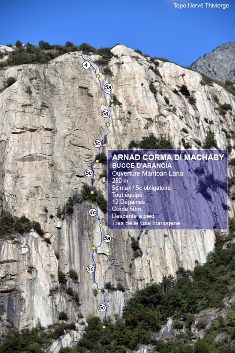
Topo of Bucce d'Arancia on the Corma di Machaby, Arnad

Italy · Aosta Valley

Bucce d'Arancia

This is the most-climbed route on the Paretone. It gives sustained, varied slab and crack climbing on good gneiss, and the hardest moves are a fine crack on P2, a slanting corner and a punchy wall. Queues are common on good days. The Mani Nude guidebook grades it stiffly; camptocamp's Italian page calls it sustained at 5b–5c+ with a single 6a.

6a10 pitches290 m

Read the cautions
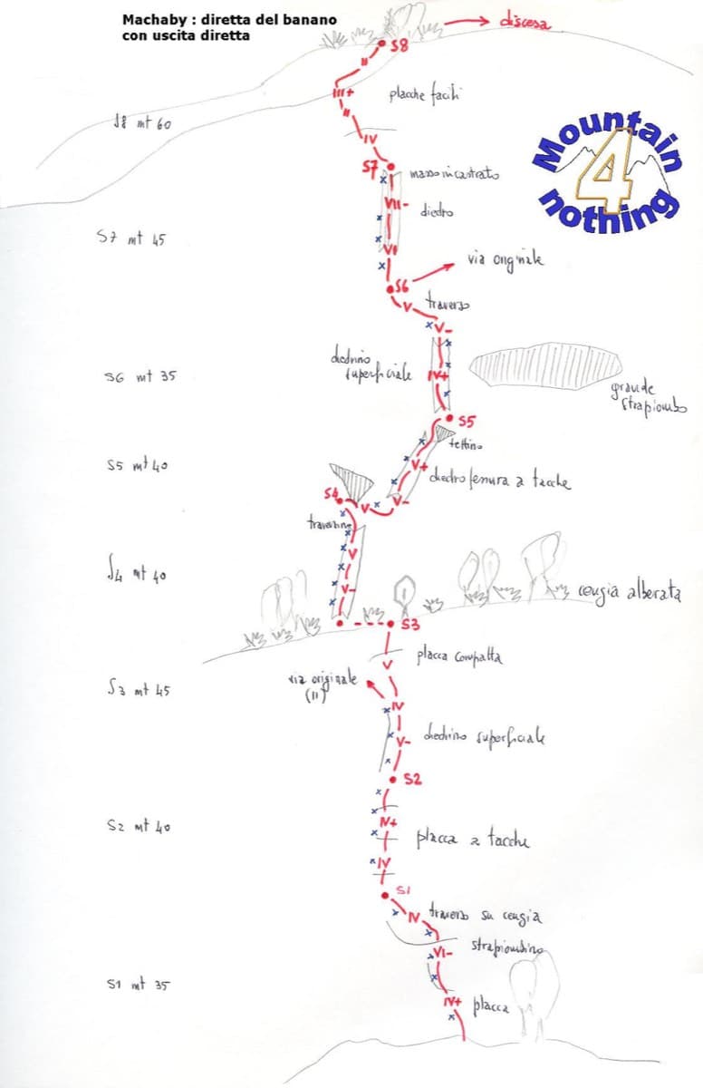
Hand-drawn topo of Diretta al Banano (direct finish), Corma di Machaby

Italy · Aosta Valley

Diretta al Banano

Along with Bucce d'Arancia this is the Paretone's other great classic (first ascent 1977, later retro-bolted). It climbs big, juggy, non-athletic slabs on beautiful rock up the centre of the wall to near the summit. Expect a few metres above the last bolt in places.

5c+9 pitches250 m

Read the cautions

Topo of Il Gatto e la Volpe on the Pilier Franco Salluard, Val Ferret

Italy · Aosta Valley

Il Gatto e la Volpe

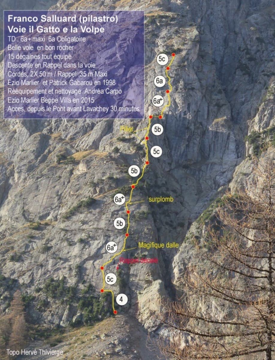
Rated 'great' on camptocamp: a wild setting with a short, easy approach from Lavachey. It climbs edgy granite slabs and a pillar crest, with a three-star exposed slab on P9.

6a+11 pitches350 m

Topo of Barabba on the Contrefort de Pré de Bar, Val Ferret

Italy · Aosta Valley

Barabba

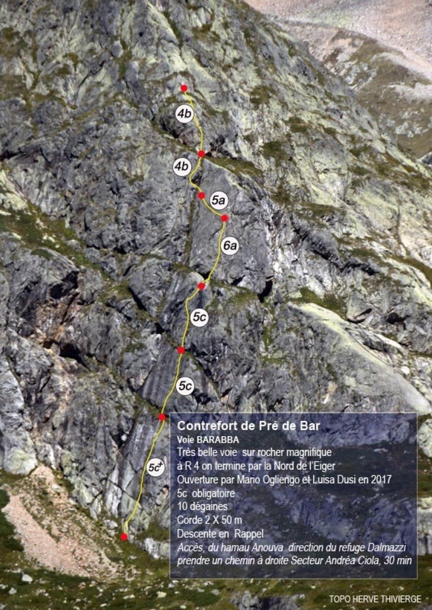
A pretty plaisir route on edgy, quartz-studded granite slabs beneath the Mont Blanc massif. The crux is a short bulge and steep juggy wall on P4. Camptocamp rates it 'great'.

6a7 pitches180 m

Around 5c · about 13 pitches

Similar elsewhere

Mansour Gauche sector, Todra Gorge

Morocco · Todra Gorge (Todgha)

Berbertraum

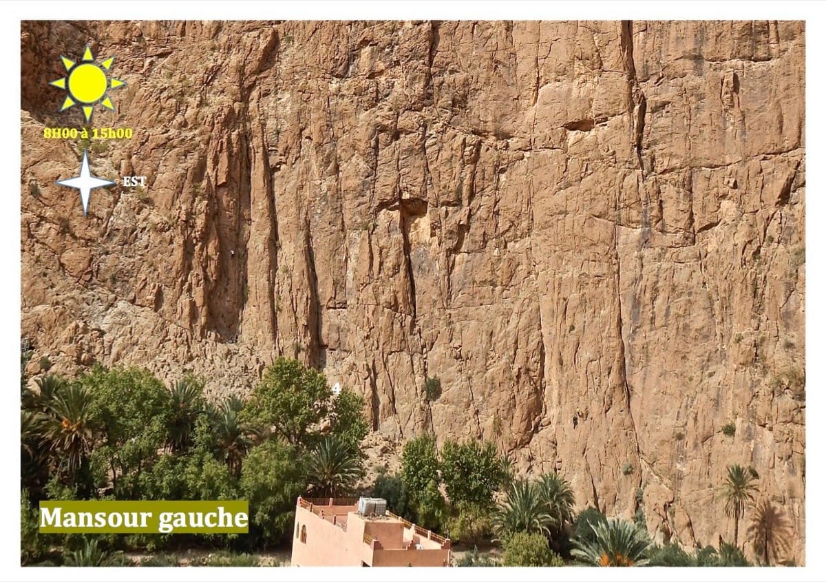
Thirteen short pitches, mostly grade 4, with two 5c steps. The longest pitch is 45 m. A big day of easy mileage in the sun above the palm grove.

5c13 pitches340 m

The Palavar slabs above Ailefroide; Palavar-les-Flots follows the leaning pillar on the left

France · Ailefroide

Palavar-les-Flots

Ailefroide's best-known easy long route: a consistent run of 4th-grade slab and pillar climbing with two harder steps (5b+ on L4, a 5c friction move on L8). It is very popular, so start early.

5c12 pitches310 m

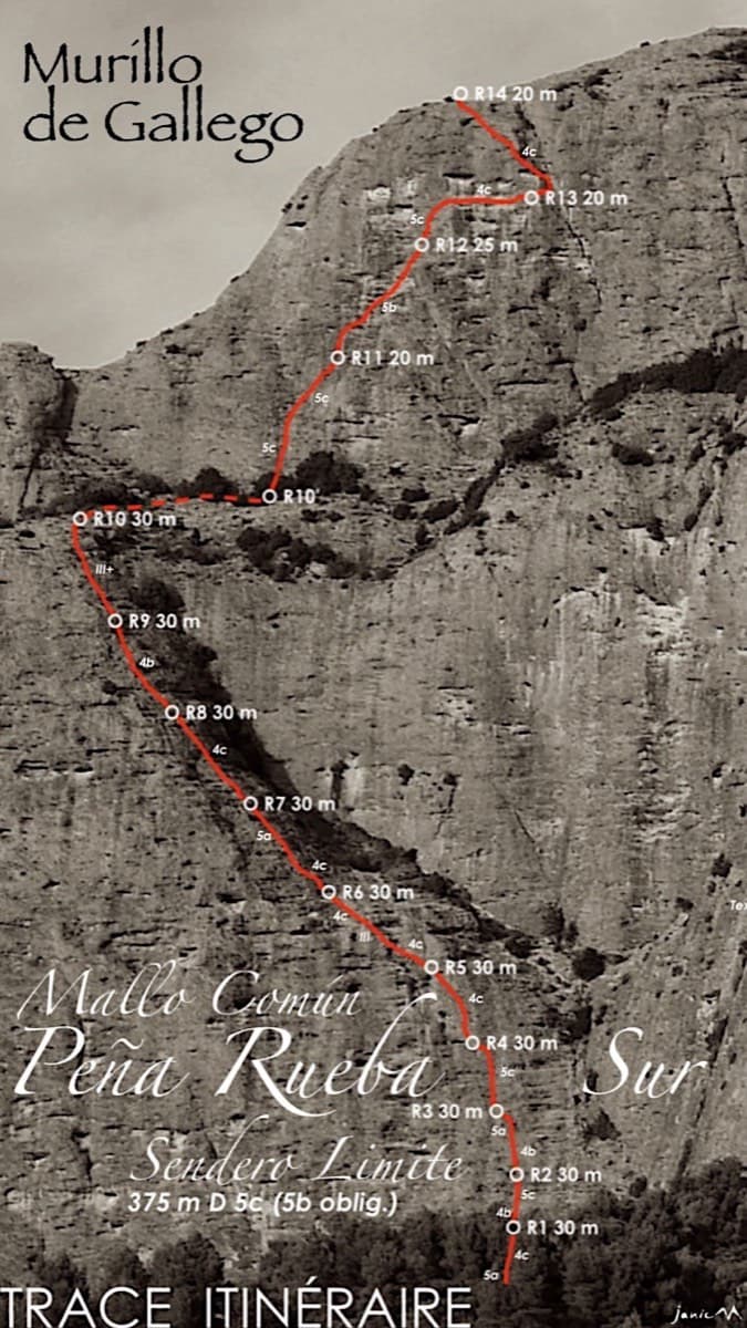
Topo of Sendero Límite on the south face of Peña Rueba (Mallo Común)

Spain · Riglos & Agüero (Mallos)

Sendero Límite

A long beginner's big route on good conglomerate at a moderate angle. Pitches can be linked in pairs with a 60 m rope. A four-pitch headwall with a couple of panzas finishes high above the Gállego valley.

5c14 pitches375 m

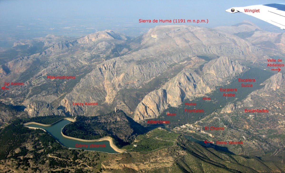
Annotated aerial view of El Chorro showing Frontales, Escalera Árabe and Escalera Suiza (labels in Polish)

Spain · El Chorro

Blue Line

The longest easy line in El Chorro. It starts up a broken corner-ramp, then climbs a steeper wall trending right to the top. It's uncommitting and easy to link pitches, with some loose rock to watch for.

5c12 pitches310 m

Compiled from published sources and last verified October 2026. Bolts, anchors and access change. Climbing is dangerous and you are responsible for your own decisions: check a current topo and read the disclaimer.