
Spain · El Chorro
Amptrax
The absolute El Chorro classic: a physical, sustained line that feels tough for the grade, with a 6a traverse right under the roof. Polished in places from heavy traffic.
6a9 pitches182 m
Escalera Árabe (Suiza / Navegador Pillar) · El Chorro · Spain
Bail with caveatsBolting confidence: high
The longest easy line in El Chorro. It starts up a broken corner-ramp, then climbs a steeper wall trending right to the top. It's uncommitting and easy to link pitches, with some loose rock to watch for.
The route
Blue Line is the longest easy bolted route at El Chorro: twelve pitches and about 300 m up the full height of the Suiza sector beside the Escalera Árabe. The lower half is a low-angle corner and ramp at 4a to 4c; the upper half steepens to 5b and 5c, with the thin slab of P10 the crux. It is closely bolted with good anchors and is not committing, which makes it a common first long multipitch. The rock is not perfect, so watch for loose material, especially with parties above.
The climbing
| Pitch | Grade | Length | Notes |
|---|---|---|---|
| P1 | 4b | 12 m | Easy slab, shared with Los Arcángeles. |
| P2 | 4b | 18 m | Continue up and left, still shared with Los Arcángeles. |
| P3 | 4c | 30 m | Up and right from the belay into a corner; Los Arcángeles goes left here. The ground is very featured and only one bolt is visible from the stance. |
| P4 | 4c | 30 m | Keep following the corner to a ledge on the right. |
| P5 | 3c | 30 m | Easy slab above the ledge. |
| P6 | 4c | 30 m | Easy ground continuing right. |
| P7 | 5c | 30 m | Up and left through a corner. Mountain Project gives 5.8. |
| P8 | 5b | 29 m | Zigzag up and right, then out left. |
| P9 | 5c | 34 m | A steep section on big holds; one of the harder pitches because of the angle. |
| P10 | 5c | 30 m | Right, then up and right on a slab with thin moves. The crux. |
| P11 | 4a | 18 m | Easy ground. |
| P12 | 4c | 20 m | A good vertical pitch to the top, with chains at the final belay. |
Getting there
El Chorro village is the base, about 45 minutes from Málaga by car; trains run often from Málaga to Álora and about once a day to El Chorro. For Escalera Árabe you can park in the village, at Las Encantadas, or at the Sierra Huma trail car park: about 13 minutes' drive from the village towards Valle de Abdalajís, past Las Encantadas, then left at the green 'Sendero Sierra de Huma' sign after about 3 km. Do not drive the track into the nature park; it is not allowed and you can be fined.
About 40 minutes on foot. Mountain Project describes an easy 2 km walk from the main road with a little scrambling to reach the path along the foot of the crags. Follow the base of the Suiza sector until a trail veers right and look for a big left-leaning gully. Blue Line starts as for Los Arcángeles, behind the carob tree.
Loading map
The point marks the crag, not the exact start of the route.
Point from Mountain Project area 108782972 (Suiza)
Contains the route point. Opens in most mapping apps and GPS watches.
Points are compiled from published sources, with the precision stated above. They were not surveyed on the ground: check them against a current topo.
Coordinates: 36.91630, -4.74736 (crag)
Getting down
Walk off; do not abseil the route, because the low angle means stuck ropes and loose rock gets knocked onto teams below. From the top continue up and right along the ridge to a flat summit plateau about 100 m away, then go down the back side by an easy scramble and short walk to the Escalera Árabe (Arab steps) and follow them down.
Retreat
Bail with caveats
You can physically abseil off, but the sources tell you not to abseil this line. The low angle means stuck ropes, and loose rock gets knocked onto the many teams below. Mountain Project describes good anchors at every pitch, so in an emergency a retreat by abseil is feasible, slowly and with care.
Partly inferred from the route facts
Safety
Sun and weather
South-facing; Escalera Árabe is in the sun almost all day. Best October to May, poor in hot or wet weather. It is one of the most popular easy routes in the area, so expect other parties.
Sun on the wall · S-facing
Working out the sunlit hours for this month.
Sun on the wallDaylight, wall in shade● Usual season
Estimated from the wall's aspect only. Ignores surrounding terrain, gullies and the wall's exact shape. Clock times are local to the wall (Central European time), for the 15th of each month.
Climate figures for El Chorro are not available yet
What to carry
Single 70 m rope, which will link any two pitches. 14 quickdraws, more if you link pitches. Helmet.
Derived from the route data; check it against a current topo
From climbers
Reader reports are not being collected yet. Until they are, check a current topo and the local club or guidebook publisher for recent changes to Blue Line.
Worth knowing
Open questions
Provenance
Same area
Spain · El Chorro
The absolute El Chorro classic: a physical, sustained line that feels tough for the grade, with a 6a traverse right under the roof. Polished in places from heavy traffic.
6a9 pitches182 m
Spain · El Chorro
Ten varied pitches on good rock in a superb position: a roof, slabs, a tenuous traverse by a cave and a steep corner. Several pitches feel stiff for the grade, especially the P2 crux.
6b10 pitches279 m
Spain · El Chorro
An airy, exposed adventure on clean, solid rock: the best long easy route on the Frontales and an ideal first big multipitch.
5+8 pitches251 m
Spain · El Chorro
A good continuation above Nitti. Highlights are a short, thin 6b slab on P4 and a pumpy steep start to the final 6a+ pitch.
6b6 pitches138 m
Read the cautions
Around 5c · about 12 pitches
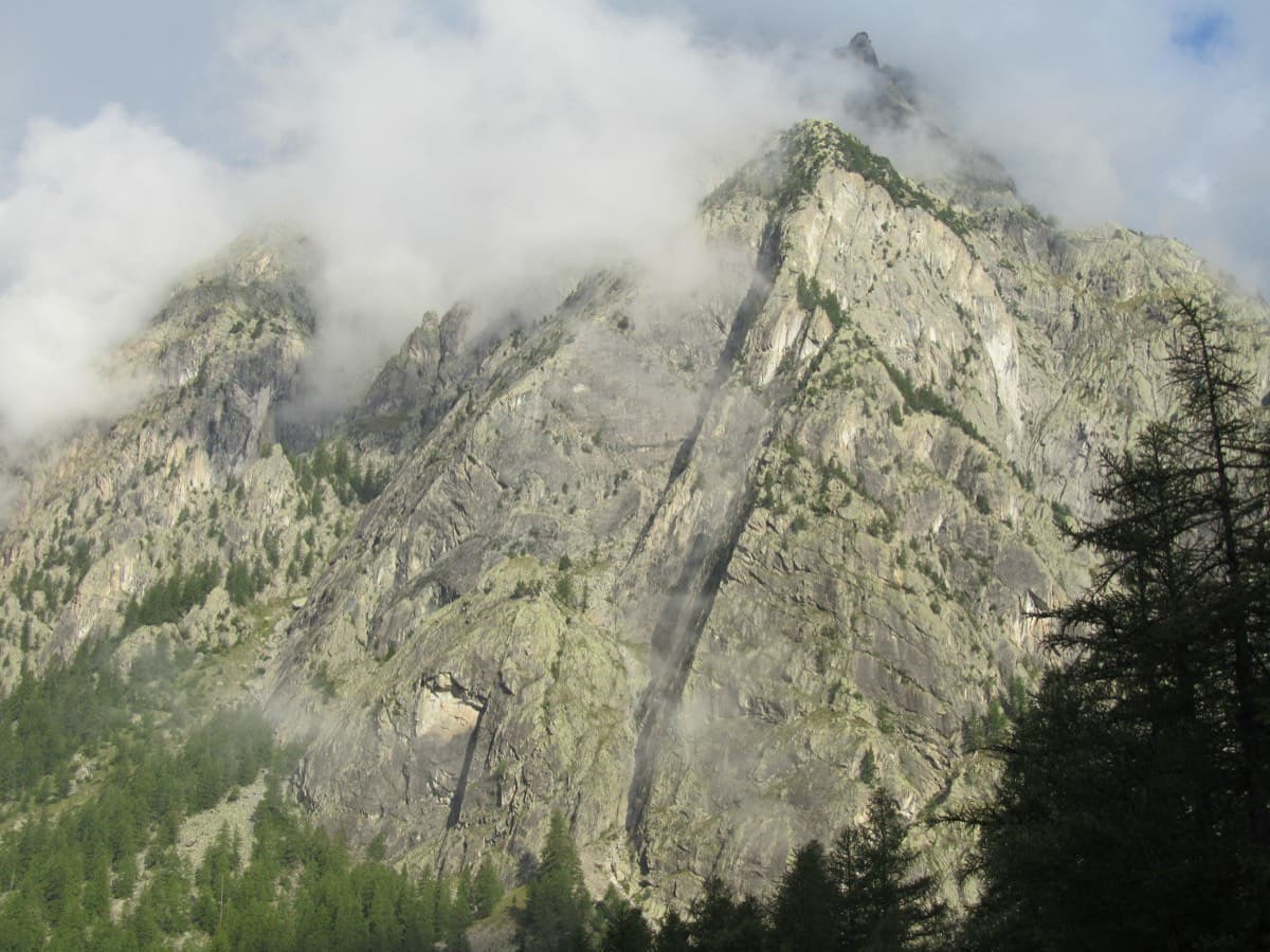
France · Ailefroide
Ailefroide's best-known easy long route: a consistent run of 4th-grade slab and pillar climbing with two harder steps (5b+ on L4, a 5c friction move on L8). It is very popular, so start early.
5c12 pitches310 m
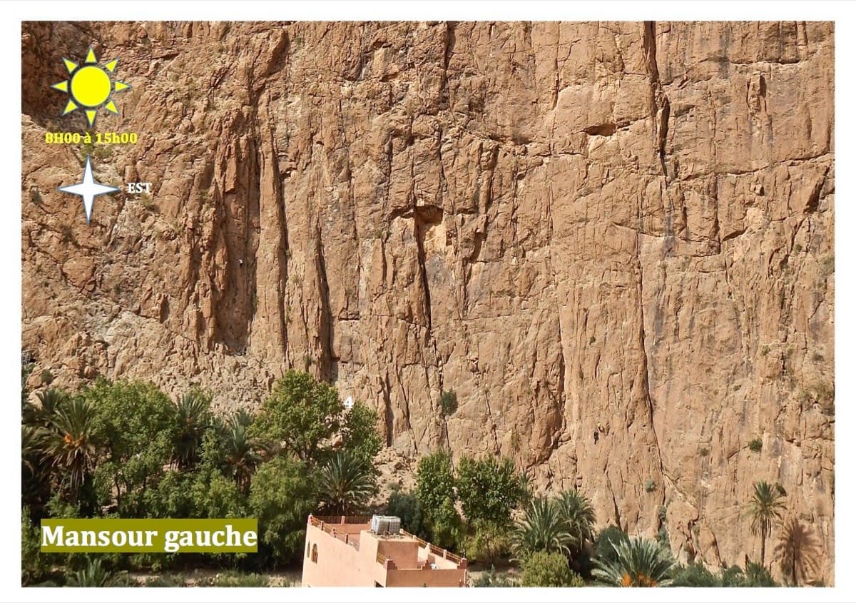
Morocco · Todra Gorge (Todgha)
Thirteen short pitches, mostly grade 4, with two 5c steps. The longest pitch is 45 m. A big day of easy mileage in the sun above the palm grove.
5c13 pitches340 m
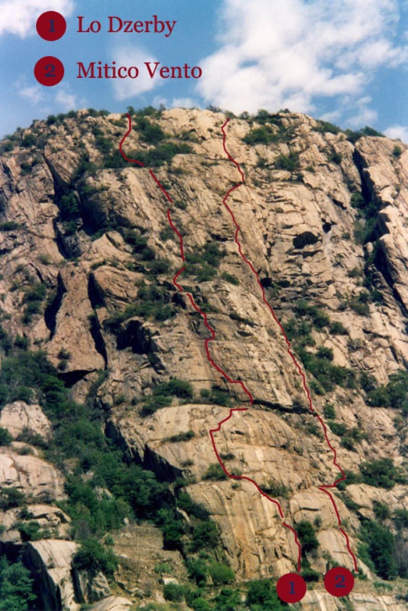
Italy · Aosta Valley
A long, easy-angled outing up the full height of the Paretone. A steeper lower half with an exposed pillar on P5 leads to sculpted slabs and broken steps higher up. It's a good first big multipitch.
5c13 pitches400 m
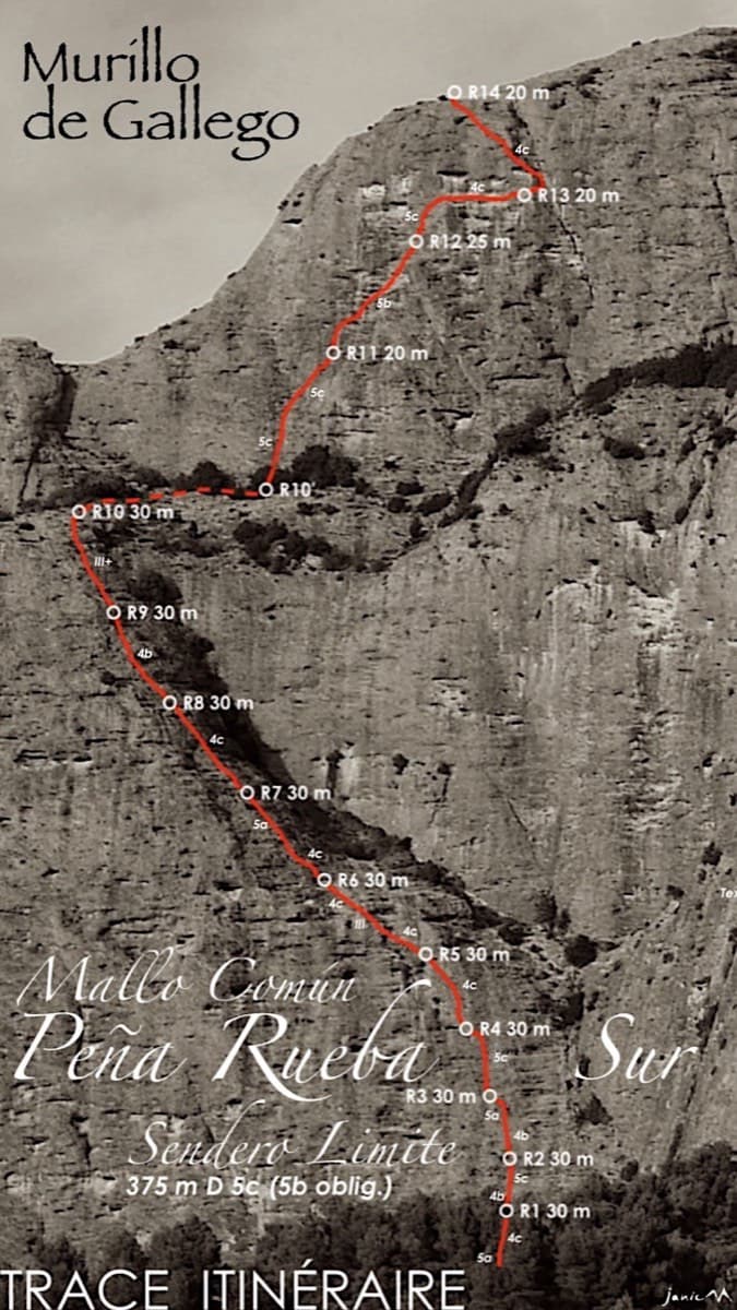
Spain · Riglos & Agüero (Mallos)
A long beginner's big route on good conglomerate at a moderate angle. Pitches can be linked in pairs with a 60 m rope. A four-pitch headwall with a couple of panzas finishes high above the Gállego valley.
5c14 pitches375 m
Compiled from published sources and last verified October 2026. Bolts, anchors and access change. Climbing is dangerous and you are responsible for your own decisions: check a current topo and read the disclaimer.