Multipitch Atlas

Berbertraum

Plage Mansour Gauche (Aiguille des Palmeraies) · Todra Gorge (Todgha) · Morocco

Bail with caveatsBolting confidence: high

Thirteen short pitches, mostly grade 4, with two 5c steps. The longest pitch is 45 m. A big day of easy mileage in the sun above the palm grove.

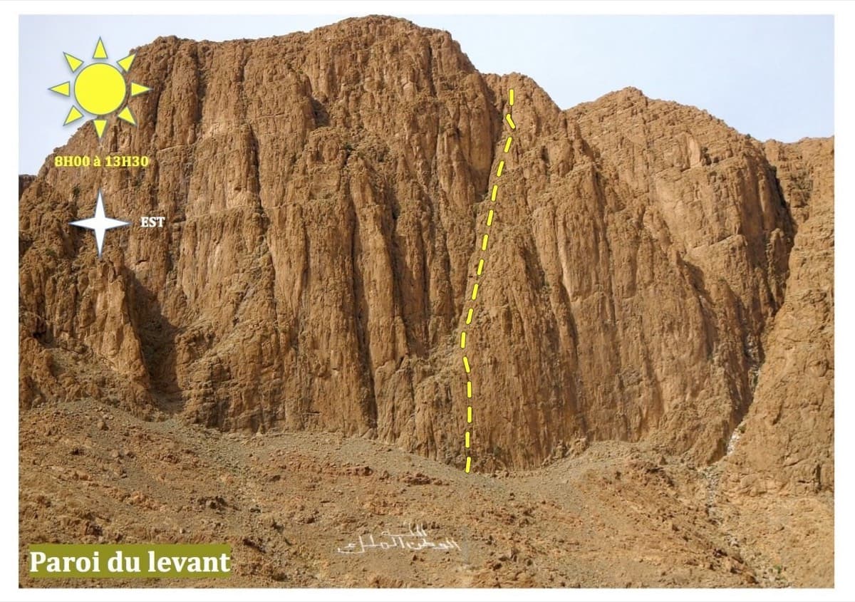
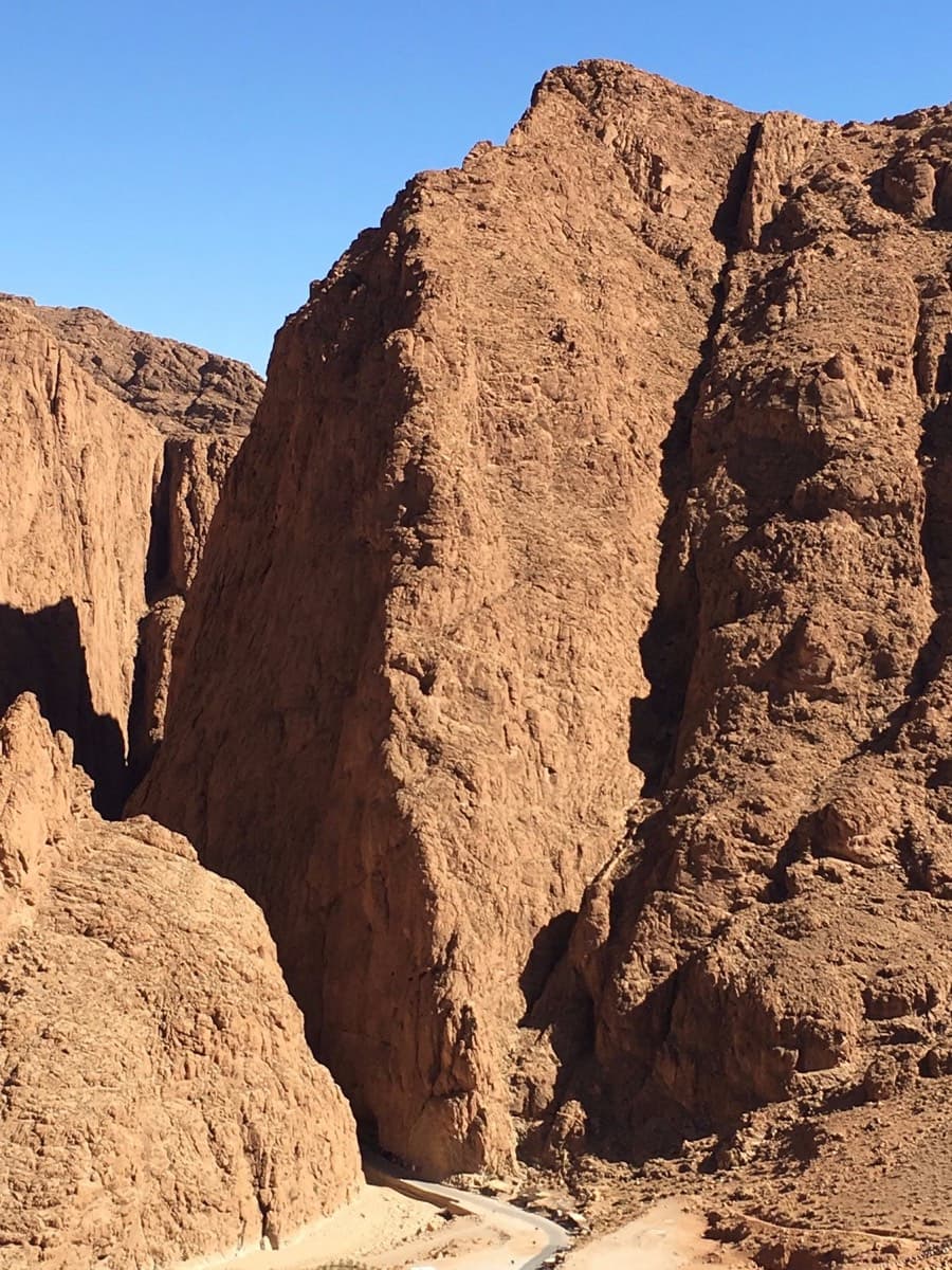
Mansour Gauche sector, Todra GorgePhoto: Aventures verticales Maroc · CC BY-SA 3.0

Photo

Mansour Gauche sector, Todra GorgePhoto: Aventures verticales Maroc · CC BY-SA 3.0
Hardest pitch
5c
Pitches
13
Length
340 m
Approach
–
Aspect
SE
South-east-facing
Rope
1×60 m

The route

Overview

A long, easy bolted route to the top of the Aiguille des Palmeraies, starting at the Mansour Gauche wall right at the gorge entrance. It has thirteen or fourteen short pitches, mostly grade 4, with two short 5c sections, and takes in cracks, corners and slabs before finishing up a fine rock spur. Trip reports agree that the bolts are close together, especially at the harder moves, and that the belays are good. It is a common first multipitch and a friendly way to learn the walk-off you will also use from the Paroi du Levant.

The climbing

Pitch by pitch

Pitches of Berbertraum
PitchGradeNotes
P14a–
P25b–
P35cFirst of the two harder sections. Reports say the hard moves are very closely bolted.
P44bPitches 3 to 5 have been linked by some parties.
P54b–
P64btheCrag gives 4c.
P74ctheCrag gives 3.
P84aPitches 8 and 9 have been linked.
P94btheCrag gives 5b.
P105atheCrag gives 4a. Pitches 10 and 11 have been linked.
P115bEnds on a ledge that looks like the top. It is not: the route continues to the left, and the next belay is on the left.
P125cThe last pitches up the spur are described as the best climbing on the route.
P134btheCrag gives 4a. A 2022 party describes one more short pitch above the 13th belay to the actual summit, which you can skip by bearing right towards the descent gully.

Getting there

Approach

To the parking

Base yourself in Tizgui, the last village about 400 m before the gorge entrance, or in Tinghir about 15 km down the valley. Marrakech is the usual airport; allow about seven hours by road. Buses run to Tinghir from Marrakech, Casablanca and Ouarzazate, and shared taxis or a private taxi cover the last stretch to the gorge. You do not need a car once you are staying near the gorge. There is a car park on the left at the gorge entrance, just before the first hotel.

On foot

From the car park walk towards the gorge. Either cross the river after the last small shop and the wall is straight ahead, or stay on the road into the gorge, cross the bridge and double back along the wall on top of the irrigation channel wall. Mansour Gauche is the wall immediately left of the gorge entrance, behind the hotel and the stalls under the olive trees. Mountain Project gives Berbertraum as the second route from the left of the sector. No approach time is published; it is a few minutes from the car park.

Map of the walk-in

  • Crag

Loading map

The point marks the crag, not the exact start of the route.

Coordinates · crag

31.58413, -5.59164

Point from Mountain Project area 112010562 (Mansour gauche)

For your phone or watch

Download GPX

Contains the route point. Opens in most mapping apps and GPS watches.

Points are compiled from published sources, with the precision stated above. They were not surveyed on the ground: check them against a current topo.

Getting down

Descent

On foot. From the summit, down-climb or make one short abseil of about 5 m to the terrace above the descent gully, then walk down the scree gully to the foot of the cliff between Paroi du Levant and Mansour Gauche. About 30 minutes. This is the same gully used to descend from the Paroi du Levant. Mountain Project describes the route as being in two parts and says you can abseil off after the first part by anchors on the right (looking up), for which a 60 m rope is enough.

Retreat

Bailing off the route

Bail with caveats

Yes, at least from the lower half. Mountain Project describes the route as being in two parts and says you can go down after the first part by abseils on the right (looking up), for which a 60 m rope is enough. There is a bolted anchor at every belay and the bolts are close. Nobody describes a retreat from the upper half.

Retreat from
The end of the 'first part', by the abseil anchors on the right. The source does not say which pitch that is, so look for the anchors as you climb. From other belays, abseiling from the bolted anchors should be possible but is not described (inferred).
Point of no return
Not documented. In the upper half no escape is described, the climbing is mostly grade 4 with close bolts, and the top has a 30 minute walk-off, so finishing is likely the simpler way off (inferred). The ledge at the top of P11 is a false summit, not an exit.
Carry
1×60 m rope, stated as enough for the escape abseils. Carry a couple of maillons in case you have to abseil from an ordinary belay. There is no mountain rescue service in Morocco.
Basis
Part stated, part inferredMountain Project states the abseil escape after the first part, the 60 m rope and an anchor at each belay; retreat from other belays and the advice to finish from the upper half are inferred.

Partly inferred from the route facts

Safety

Hazards

  • Very sharp rock: hard on skin and ropes.
  • Rope drag if you link pitches (2026 report).
  • The ledge at the top of pitch 11 is a false finish; do not pack up there.
  • Goat herders live above the cliffs and goats can dislodge stones, so wear a helmet (Mountain Project area notes).
  • There is no mountain rescue service in Morocco. Plan for self-rescue and keep a margin.

Sun and weather

Conditions

South-east facing and in the sun until late afternoon, so it suits the cooler months. March and December parties climbed in sunshine and wanted a fleece in the wind on the upper pitches. The rock is described as the most abrasive in the gorge and completely unpolished. Parties took about 3 hours to 3 h 20.

Usual season · Feb to Apr, Oct to Dec

Sun on the wall · SE-facing

Working out the sunlit hours for this month.

  • January: not yet worked out
  • February (usual season): not yet worked out
  • March (usual season): not yet worked out
  • April (usual season): not yet worked out
  • May: not yet worked out
  • June: not yet worked out
  • July: not yet worked out
  • August: not yet worked out
  • September: not yet worked out
  • October (usual season): not yet worked out
  • November (usual season): not yet worked out
  • December (usual season): not yet worked out

Sun on the wallDaylight, wall in shade● Usual season

Estimated from the wall's aspect only. Ignores surrounding terrain, gullies and the wall's exact shape. Clock times are local to the wall (Moroccan time), for the 15th of each month.

Climate figures for Todra Gorge (Todgha) are not available yet

What to carry

Gear

13 quickdraws (Mountain Project). One 60 m rope is enough according to Mountain Project, including the abseils of the lower-half escape. Helmet. Some longer slings help if you link pitches.

Checklist

Quickdraws
13
Rope
1×60 m
Helmet
One each
Abseil device and prusik
The descent or the retreat involves abseiling
Maillons or spare karabiners
To leave behind if you retreat

Derived from the route data; check it against a current topo

From climbers

Reader reports

Reader reports are not being collected yet. Until they are, check a current topo and the local club or guidebook publisher for recent changes to Berbertraum.

Worth knowing

Tips

  • Pitches link well: one party linked 3+4+5, 8+9 and 10+11; another moved together on 25 m of rope through the middle section.
  • If you are short of time, skip the last short pitch by keeping right towards the descent gully after the 13th belay.
  • Retreat is feasible: the bolts are close and there is an abseil escape after the first part.
  • A 2019 party compared it to Hannah chez les grands on the Paroi du Levant; a 2022 party preferred Berbertraum for its cleaner rock.

Open questions

Where sources disagree

  • Pitch count: camptocamp and theCrag list 13; Mountain Project says 14 in its header but lists only 12 pitch grades; a 2022 camptocamp report implies a short 14th pitch to the summit.
  • Length: camptocamp, theCrag and ExplorersWeb give 340 m; Mountain Project gives 227 m. This entry uses 340 m.
  • Pitch grades differ slightly between camptocamp and theCrag on pitches 6, 7, 9, 10 and 13 (theCrag: 4a, 5b, 5c, 4b, 4b, 4c, 3, 4a, 5b, 4a, 5b, 5c, 4a). Both agree on a 5c maximum on pitches 3 and 12.
  • The theCrag link in the source list (route/858196305) points to a different route, a 6b called '#13' at Jardins des Roches. The correct theCrag page is route/3033410151.

Provenance

Sources

Same area

More in Todra Gorge (Todgha)

All routes in Todra Gorge (Todgha)
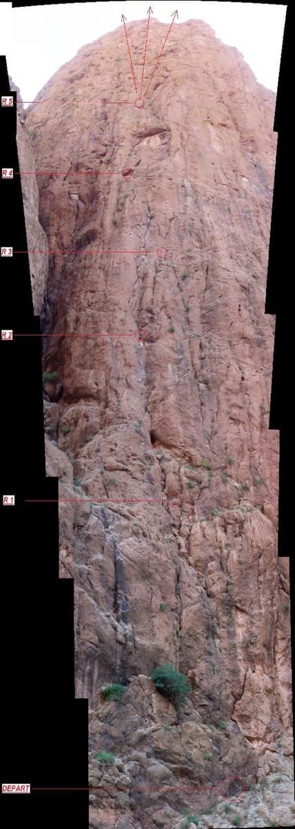
Photo-topo of La Classique on the Pilier du Couchant, Todra Gorge, with belays marked

Morocco · Todra Gorge (Todgha)

La Classique

The classic of the gorge, first climbed in 1977. Sustained and physical 6a climbing up cracks, corners and short bulges on the big pillar at the gorge entrance. The first pitch is the 6a+ crux, straight off the ground. Watch for loose blocks on the last pitch, shared with Chibania.

6a+9 pitches300 m

Read the cautions
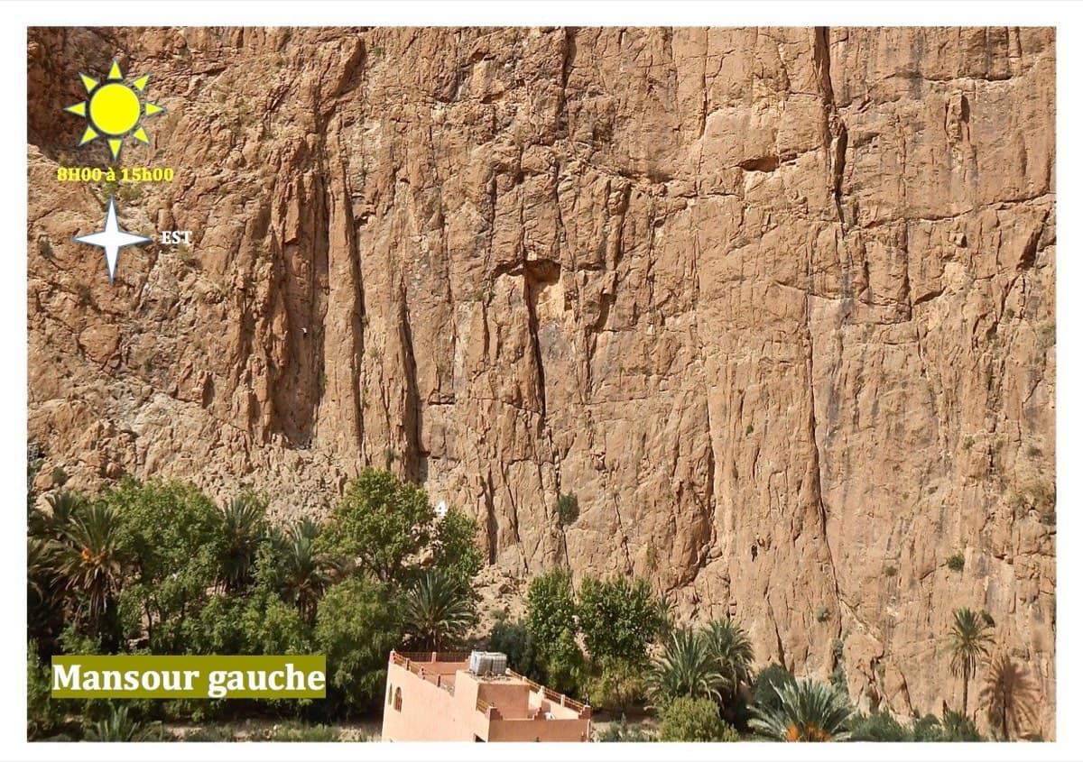
The Mansour Gauche sector, Todra Gorge

Morocco · Todra Gorge (Todgha)

Tiwira

A long, moderate line above the Mansour palm grove at the upstream end of the gorge. Mostly steady 5c with a 6a crack to start and a harder, very abrasive finish. Big views up the valley.

6b7 pitches300 m

Line of Hannah chez les grands drawn on the Paroi du Levant, Todra Gorge

Morocco · Todra Gorge (Todgha)

Hannah chez les grands

Eight pitches up the middle of the Levant wall, with the 6a on the first pitch and steady 5a–5c above. Morning sun. Camptocamp rates the commitment a little higher than the gorge-floor routes because of the length.

6a8 pitches320 m

The Arête Nord, Todra Gorge

Morocco · Todra Gorge (Todgha)

Une arête dans la gorge

The longest route in the gorge: 550 m of easy ridge climbing on the left as you leave the narrows. Sold locally as the beginner's first big bolted route. The first three or four pitches are in shade with a 7 am start; after that you are in the sun.

5c13 pitches550 m

Read the cautions

Around 5c · about 13 pitches

Similar elsewhere

Topo of Lo Dzerby (line 1) and Mitico Vento on the Corma di Machaby, Arnad

Italy · Aosta Valley

Lo Dzerby

A long, easy-angled outing up the full height of the Paretone. A steeper lower half with an exposed pillar on P5 leads to sculpted slabs and broken steps higher up. It's a good first big multipitch.

5c13 pitches400 m

The Palavar slabs above Ailefroide; Palavar-les-Flots follows the leaning pillar on the left

France · Ailefroide

Palavar-les-Flots

Ailefroide's best-known easy long route: a consistent run of 4th-grade slab and pillar climbing with two harder steps (5b+ on L4, a 5c friction move on L8). It is very popular, so start early.

5c12 pitches310 m

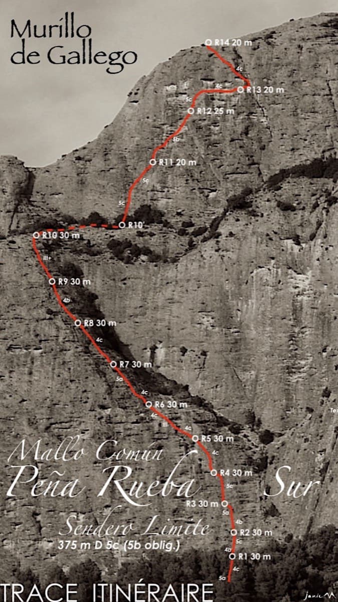
Topo of Sendero Límite on the south face of Peña Rueba (Mallo Común)

Spain · Riglos & Agüero (Mallos)

Sendero Límite

A long beginner's big route on good conglomerate at a moderate angle. Pitches can be linked in pairs with a 60 m rope. A four-pitch headwall with a couple of panzas finishes high above the Gállego valley.

5c14 pitches375 m

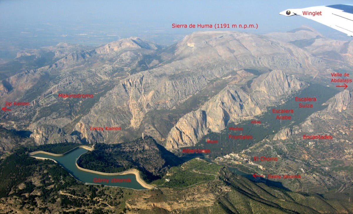
Annotated aerial view of El Chorro showing Frontales, Escalera Árabe and Escalera Suiza (labels in Polish)

Spain · El Chorro

Blue Line

The longest easy line in El Chorro. It starts up a broken corner-ramp, then climbs a steeper wall trending right to the top. It's uncommitting and easy to link pitches, with some loose rock to watch for.

5c12 pitches310 m

Compiled from published sources and last verified October 2026. Bolts, anchors and access change. Climbing is dangerous and you are responsible for your own decisions: check a current topo and read the disclaimer.