Switzerland · Grimsel
Sagittarius
A Grimsel granite classic: low-angle slabs lead to the famous 6a+ crack pitches and a thin 6b traverse, then steeper, sculpted ground. Sustained at 5c/6a throughout.
6b13 pitches400 m
Gerstenegg – Foxie slab (Räterichsbodensee) · Grimsel · Switzerland
Easy to bailBolting confidence: high
The classic easy introduction to Grimsel granite: nine pitches of smooth, low-angle slab that follow a long, stair-like corner and a line of cracks, with a short steeper wall on pitch 7. Clean rock with no grass ledges, a short approach and an easy walk down.
The route
Foxie climbs the slab north-west of the Räterichsbodensee dam, starting beside a big block at the foot of a long, gently angled corner. It is the right-hand of two similar lines (Alpiner Abstieg, all slab, is on the left) and gives nine or ten pitches with no route-finding problems. Most of it is friction padding at grade 3 to 4, relieved by the corner, some cracks and a short steep wall near the top. The SAC calls the rock impeccable, rare for an easy route of this length. It is often combined with Fliegender Teppich for an 18-pitch day.
The climbing
| Pitch | Grade | Notes |
|---|---|---|
| P1 | 4 | Slab; camptocamp gives only 'grade 4'. |
| P2 | 5a | A good move at the start. A 2024 party took easier variants of about 4b on this pitch and the next. |
| P3 | 5a | Entertaining slab that arrives in the corner. Slippery when damp: a 2026 leader slid here on wet rock. |
| P4 | 3c | The corner, climbed like a staircase. |
| P5 | 3b | More of the corner. |
| P6 | 3c | Slab. |
| P7 | 4c | An almost vertical wall with real holds at the start, the best moves of the route, then slab. The third bolt was missing its hanger in September 2023. |
| P8 | 3c | Slab. |
| P9 | 2c | Easy slab to the top, though one party thought 2c undersold it. One hard, well-bolted move is reported on the last pitch. |
Getting there
The Gerstenegg and Räterichsbodensee slabs lie beside the Grimsel pass road, between Guttannen and the pass, reached from Meiringen and Innertkirchen on the Bernese side or over the pass from the Valais. The road is open roughly from May or June to October or November, depending on snow. There are car parks at Chüenzentennlen (1596 m), about 1 km below the Räterichsbodensee dam between the hairpins and the tunnel, and at the dam itself (1767 m). A PostBus runs from June to October and stops at both. Hotel Handeck, a few kilometres down the valley, has rooms and a dormitory; discreet bivouacs are tolerated at best.
Two options. From the car park below the Räterichsbodensee dam take the path, then the grass slope, north-west for about 400 m, passing below big low-angle slabs to a distinctive corner. Or come from the Gerstenegg side: a track descends south for about 200 m from the top of the Krümel sector routes to the same point. The start is on the left (south) side of a big block at the foot of the long corner. The SAC grades the approach T3- and gives 20 to 30 minutes with 80 m of ascent and 100 m of descent; a 2024 party took 15 to 20 minutes from the dam.
Loading map
The point marks the crag, not the exact start of the route.
Parking
Räterichsbodensee dam (camptocamp waypoint 133701)
Point from camptocamp waypoint 475867 (Grimsel, Gerstenegg, Foxie)
Contains the route point and parking. Opens in most mapping apps and GPS watches.
Points are compiled from published sources, with the precision stated above. They were not surveyed on the ground: check them against a current topo.
Coordinates: 46.59347, 8.31642 (crag) · Parking: 46.59062, 8.32794
Getting down
Either abseil the route from the equipped belays, which parties find trouble-free on the smooth slabs, or walk down: a track descends south and then south-east beside a small stream, passes below the Donald Duck and Azalée Beach sectors where the stream is channelled, and reaches the car park by the dam. The SAC grades the foot descent T4-, but a 2024 party found it short and not exposed, about 30 minutes.
Retreat
Easy to bail
The belays are equipped for abseiling and both camptocamp and the SAC give abseiling the route as a normal descent. Parties report no snagging on the smooth slabs.
Safety
Sun and weather
East facing between about 1750 m and 1950 m. In hot weather climb in the afternoon when the slab goes into shade, in cool weather take the morning sun. Friction slab needs to be completely dry: after rain the night before, a 2026 party waited until mid-afternoon on a neighbouring route and still found wet streaks. Summer storms build quickly on the Grimsel.
Sun on the wall · E-facing
Working out the sunlit hours for this month.
Sun on the wallDaylight, wall in shade● Usual season
Estimated from the wall's aspect only. Ignores surrounding terrain, gullies and the wall's exact shape. Clock times are local to the wall (Central European time), for the 15th of each month.
| Measure | Jan | Feb | Mar | Apr | May | Jun (usual season) | Jul (usual season) | Aug (usual season) | Sep (usual season) | Oct (usual season) | Nov | Dec |
|---|---|---|---|---|---|---|---|---|---|---|---|---|
| Mean daily high °C | −3 | −1 | 2 | 5 | 9 | 14 | 17 | 17 | 13 | 8 | 2 | −2 |
| Mean daily low °C | −8 | −8 | −5 | −2 | 2 | 6 | 8 | 9 | 5 | 1 | −4 | −8 |
| Rain days 1 mm or more | 14 | 12 | 15 | 15 | 18 | 19 | 20 | 18 | 15 | 14 | 15 | 15 |
● marks the usual climbing season. Averages for 1991-2020 at about 1777 m. Area climate from Open-Meteo reanalysis. Temperatures are adjusted to the height of the crag; rain comes from a grid cell of about 10 to 25 km, and summer highs on sea cliffs can read a few degrees low. The wall and valley can differ. Data: Open-Meteo, CC BY 4.0.
What to carry
8 quickdraws on camptocamp, 12 on the SAC portal; a 50 m rope if you walk down, 2×50 m to abseil, and a sling. No nuts or cams are required. Helmet.
Derived from the route data; check it against a current topo
From climbers
Reader reports are not being collected yet. Until they are, check a current topo and the local club or guidebook publisher for recent changes to Foxie.
Worth knowing
Open questions
Provenance
Same area
Switzerland · Grimsel
A Grimsel granite classic: low-angle slabs lead to the famous 6a+ crack pitches and a thin 6b traverse, then steeper, sculpted ground. Sustained at 5c/6a throughout.
6b13 pitches400 m
Switzerland · Grimsel
Glacier-polished slabs straight above the Räterichsboden dam. Four warm-up pitches lead to sustained 5b–5c slab and a short fissured roof (6a or A0).
6a11 pitches220 m
Read the cautions
Switzerland · Grimsel
Seven pitches of smooth, low-angle Grimsel granite, almost all pure friction, with two short steeper steps. Technically easy, but you have to trust your feet. A gentle introduction to Grimsel slab and to multipitch rope work.
4c7 pitches200 m
Switzerland · Grimsel
A short, varied granite route up a pale, smooth pillar across the valley from the Handegg slabs: a corner crack, then friction and edge slabs that get harder pitch by pitch. Grades are stiff, and the last pitch is sustained and tricky. A good half day or uncertain-weather route with a 15-minute approach.
6a5 pitches200 m
Around 5a · about 9 pitches
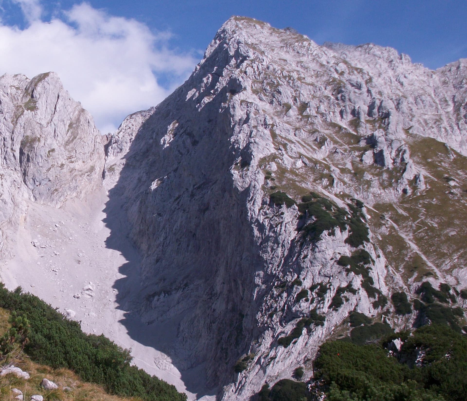
Austria · Wilder Kaiser
Nine pitches of easy slabs and water runnels beside the Treffauer normal route, UIAA 5 at most if you take the easy variant on pitch 4. Lots of bolts and friendly ground make it one of the most popular routes in the Schneekar. The rock is not solid everywhere and the walk-in is two hours.
5a9 pitches280 m
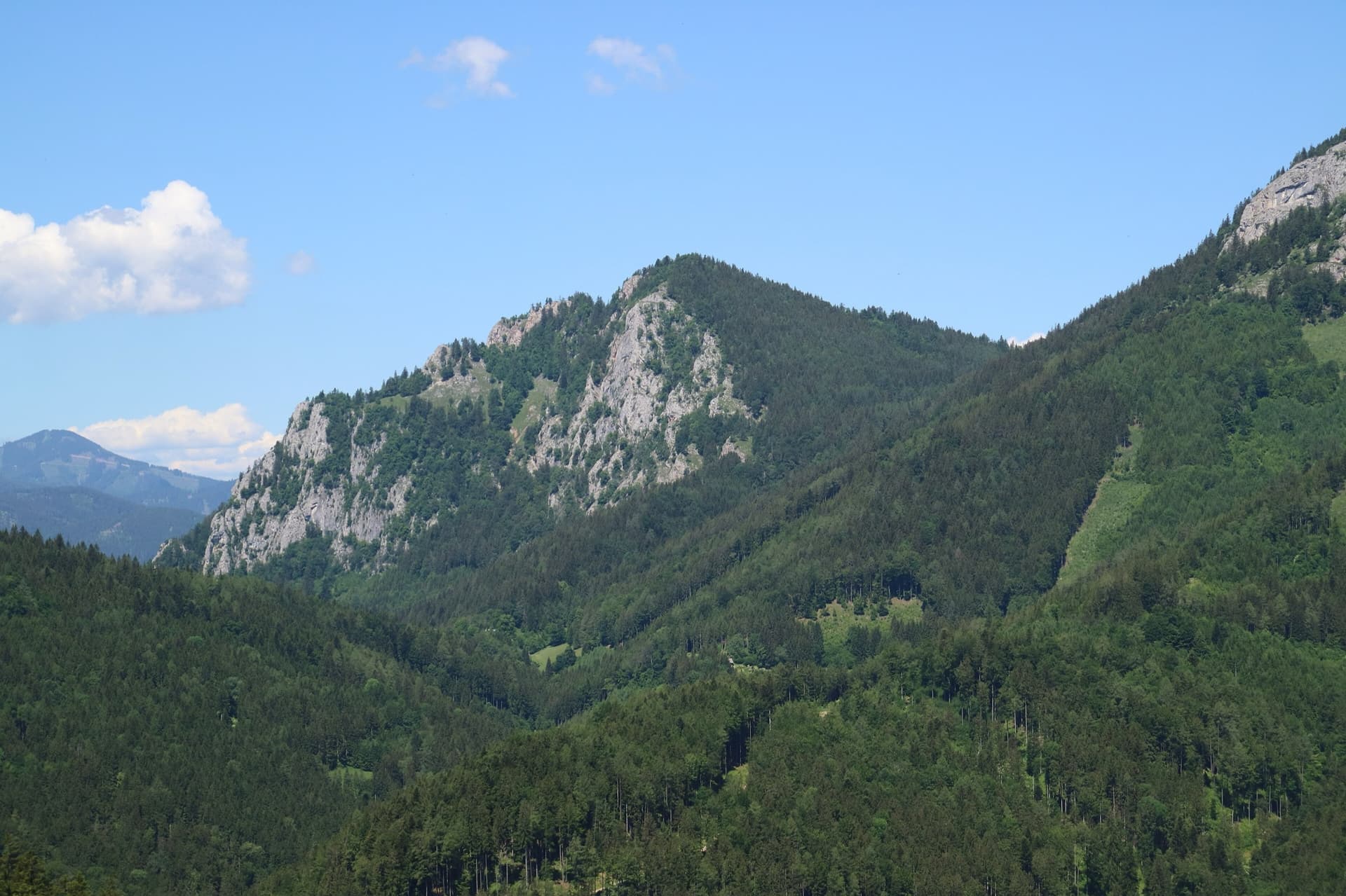
Austria · Grazer Bergland
A new (2025) nine-pitch outing on the right edge of the Breite Wand that weaves between the bushes. Three spots of UIAA 5-/5, otherwise easier. Still a little earthy in places.
5a9 pitches260 m
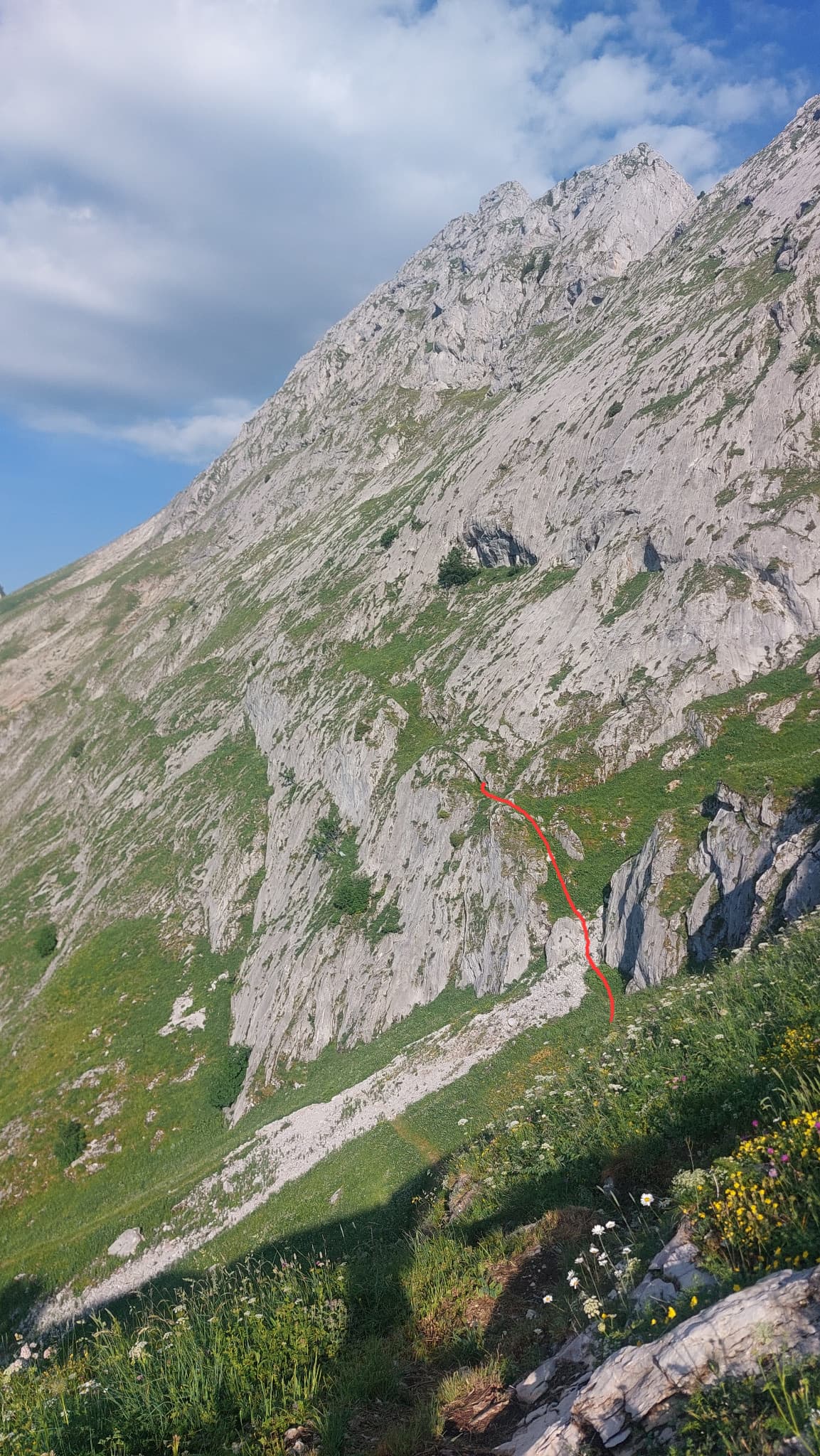
Switzerland · Gastlosen
A long, easy and very well bolted route up low-angle runnelled limestone slabs to point 2105 m on the ridge between the Dent de Ruth and the Dent de Savigny. Only pitches 2 and 3 steepen. The belays are on comfortable grass ledges and it is the only line on the face, so you cannot get lost.
5a10 pitches300 m
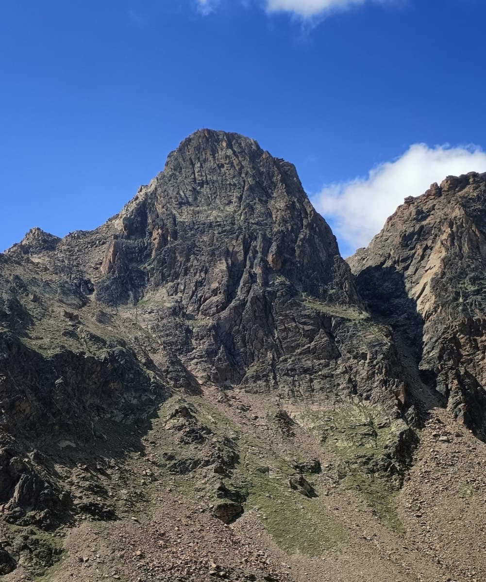
Switzerland · Saas Valley
The right-hand of the Jegihorn's three easy bolted routes and the quietest. Ten long pitches up low-angled slabs and then a steeper, airy central section on sharp flakes and edges, finishing along a short crest to the 3206 m summit. Bolts are further apart than on Alpendurst and the belays are unlinked, so it suits a leader who is steady at 4c.
5a10 pitches360 m
Read the cautionsCommitting
Compiled from published sources and last verified October 2026. Bolts, anchors and access change. Climbing is dangerous and you are responsible for your own decisions: check a current topo and read the disclaimer.