Multipitch Atlas

Panorama

Jegihorn – south face (Kreuzboden / Weissmieshütte) · Saas Valley · Switzerland

Read the cautionsCommittingBolting confidence: medium

The right-hand of the Jegihorn's three easy bolted routes and the quietest. Ten long pitches up low-angled slabs and then a steeper, airy central section on sharp flakes and edges, finishing along a short crest to the 3206 m summit. Bolts are further apart than on Alpendurst and the belays are unlinked, so it suits a leader who is steady at 4c.

The Jegihorn south face from the approach; Panorama is the right-hand route on the facePhoto: fuore · CC BY-NC-ND 3.0

Photo

The Jegihorn south face from the approach; Panorama is the right-hand route on the facePhoto: fuore · CC BY-NC-ND 3.0
Hardest pitch
5a
Pitches
10
Length
360 m
Approach
75 min
Aspect
S
South-facing
Rope
1×50 m
walk-off
Read before you go

Bolted from bottom to top, but with long gaps on the easier ground, unlinked belays and no abseil retreat.

The route

Overview

Panorama climbs the right side of the Jegihorn's south face, starting beside a big corner and gully and finishing on the summit. It was opened in 2004 and is the usual fallback when Alpendurst is queued out. The pitches are long, 24 to 44 m, and the route has more grade 3 and 4a ground than its neighbours, with short harder passages; the steep middle section is the highlight. Parties consistently find some of the 4c pitches harder than the first 5a, and one experienced party called several pitches 5b. Protection is bolts only, but spaced where the climbing is easy.

The climbing

Pitch by pitch

Pitches of Panorama
PitchGradeLengthNotes
P14b44 mLong slab pitch. Bolts are spaced on the first three pitches.
P24b24 mShort slab pitch. The 2024 passion-alpes topo gives this pitch 5a.
P34c38 mTo a grassy ledge; walk about 20 m across it to the next belay.
P44b32 mFirst pitch above the ledge.
P55a30 mFirst 5a; a 2022 party found it easier than some of the 4c pitches.
P65a42 mSteep and sustained on good flakes; parties in 2020 called the two 5a pitches the best of the route.
P74c42 mSteep, airy climbing on positive edges.
P84c42 mMore of the same.
P94c42 mThe route gains a crest with some exposure; a second walking transition of about 20 m follows. The 2024 topo gives 5a here.
P104c24 mPast a notch (an intermediate belay is possible after it), then a few metres of grade 2 to 3 to the summit cross.

Getting there

Approach

To the parking

Saas-Grund is in the Saas Valley above Visp (Valais); postbuses run from Visp station. Take the Hohsaas gondola from Saas-Grund to its middle station, Kreuzboden (2397 m). The lift is included in the SaastalCard that overnight guests in the valley receive (the valley campsite counts), and parking at the valley station was 12 CHF a day in 2022. Parties report the first cabin at about 7:30 in high summer. The alternative is to sleep at the Weissmieshütte (2726 m), about 30 minutes above Kreuzboden.

On foot · about 75 min

As for Alpendurst from Kreuzboden (1 h 15) or the Weissmieshütte (about 40 minutes). Before the Jegihorn path swings left into rock steps, at a faint cairned track, traverse right towards the right-hand side of the face. Follow the foot of the cliff to a large corner visible from a distance, where a gully comes down. 'Panorama' is painted in white at the start; it is the right-most route on the face.

Map of the walk-in

  • Crag
  • Parking

Loading map

The point marks the crag, not the exact start of the route.

Coordinates · crag

46.15146, 7.97017

Parking

46.13903, 7.96333

Kreuzboden gondola station, 2397 m (camptocamp waypoint 465854): the top of the lift from Saas-Grund, where the walk starts. Cars stay at the valley station in Saas-Grund.

Point from camptocamp waypoint 43177 (Jegihorn summit; the routes climb the south face directly below and finish at the summit cross). Summitpost gives 46.1513, 7.9712 for the same point.

For your phone or watch

Download GPX

Contains the route point and parking. Opens in most mapping apps and GPS watches.

Points are compiled from published sources, with the precision stated above. They were not surveyed on the ground: check them against a current topo.

Getting down

Descent

On foot by the blue-and-white marked normal route from the summit, shared with the via ferrata: scree and blocks first, then the approach path. Camptocamp allows 1 h 30 to Kreuzboden; a hut-based party took 40 minutes to the Weissmieshütte. You can leave a rucksack where you turn off the path.

Retreat

Bailing off the route

Committing

Camptocamp states that the belays are not linked and that there is no possibility of descending by abseil. No source describes a retreat. The route crosses two ledges, after pitch 3 and after pitch 9, but nobody documents an escape along them.

Retreat from
Not documented.
Point of no return
Treat the route as committing from the first pitch: the documented way off is over the summit.
Carry
If you had to retreat you would be leaving gear on unlinked two-bolt stances with pitches of up to 44 m, which a single 50 m rope does not cover.
Basis
Stated in the sourcesCamptocamp: 'belays not linked, no possibility of descending by abseil'. The rope arithmetic is inferred from the pitch lengths.

Safety

Hazards

  • Spaced bolts on easy ground: a 2022 party counted fewer than ten bolts on 45 m pitches and found the first three pitches the most run-out.
  • Unlinked two-bolt belays, and camptocamp states there is no possibility of descending by abseil.
  • Grades are uneven and feel stiff: a 2020 party thought several pitches were 5b.
  • A guide in July 2024 noted loose material that needs cleaning given the traffic.
  • A 3200 m summit: afternoon storms, and snow early or late in the season.

Sun and weather

Conditions

South-facing, 2900 m to 3206 m. The foot of the face is in the sun from about 8:00 in early July. Season roughly July to September; an October 2021 party found 50 cm of fresh snow on the summit. The gondola timetable is the same constraint as for Alpendurst.

Usual season · Jul to Sep

Sun on the wall · S-facing

Working out the sunlit hours for this month.

  • January: not yet worked out
  • February: not yet worked out
  • March: not yet worked out
  • April: not yet worked out
  • May: not yet worked out
  • June: not yet worked out
  • July (usual season): not yet worked out
  • August (usual season): not yet worked out
  • September (usual season): not yet worked out
  • October: not yet worked out
  • November: not yet worked out
  • December: not yet worked out

Sun on the wallDaylight, wall in shade● Usual season

Estimated from the wall's aspect only. Ignores surrounding terrain, gullies and the wall's exact shape. Clock times are local to the wall (Central European time), for the 15th of each month.

Climate figures for Saas Valley are not available yet

What to carry

Gear

10 quickdraws, slings or cord to link the belay bolts, a single 50 m rope and a helmet. No source asks for cams or nuts; gulliver.it notes that the easy runouts can be supplemented if you want. Fine in mountain boots; rock shoes are more comfortable.

Checklist

Quickdraws
10
Rope
1×50 m (walk-off)
Helmet
One each

Derived from the route data; check it against a current topo

From climbers

Reader reports

Reader reports are not being collected yet. Until they are, check a current topo and the local club or guidebook publisher for recent changes to Panorama.

Worth knowing

Tips

  • Check the gondola dates and last descent before you go. A third-party guide (last updated 2019) gives a summer season from early June to the end of September, running 7:45 to 16:15 from late June to the end of August and with a lunch break in June, September and October; the official timetable is on saas-fee.ch. Miss the last cabin and it is a long walk down to Saas-Grund.
  • Allow 3 to 4 hours on the route.
  • A good choice when Alpendurst already has parties at the base: in August 2020 a team switched to Panorama and climbed it with nobody ahead.

Open questions

Where sources disagree

  • Pitch grades: camptocamp (used here) gives 4b, 4b, 4c, 4b, 5a, 5a, 4c, 4c, 4c, 4c. The 2024 passion-alpes topo gives 4b, 5a, 4c, 4b, 4c, 4b, 4c, 4c, 5a, 4c, with slightly shorter pitches (25 to 45 m). Gulliver.it lists nine pitches.
  • Obligatory grade: 4c (camptocamp), 4b (passion-alpes), 5a (gulliver.it).
  • Overall grade: AD+ on camptocamp against D- on passion-alpes.
  • Length: 360 m (camptocamp) against 300 m (gulliver.it, passion-alpes title).

Provenance

Sources

Same area

More in Saas Valley

All routes in Saas Valley
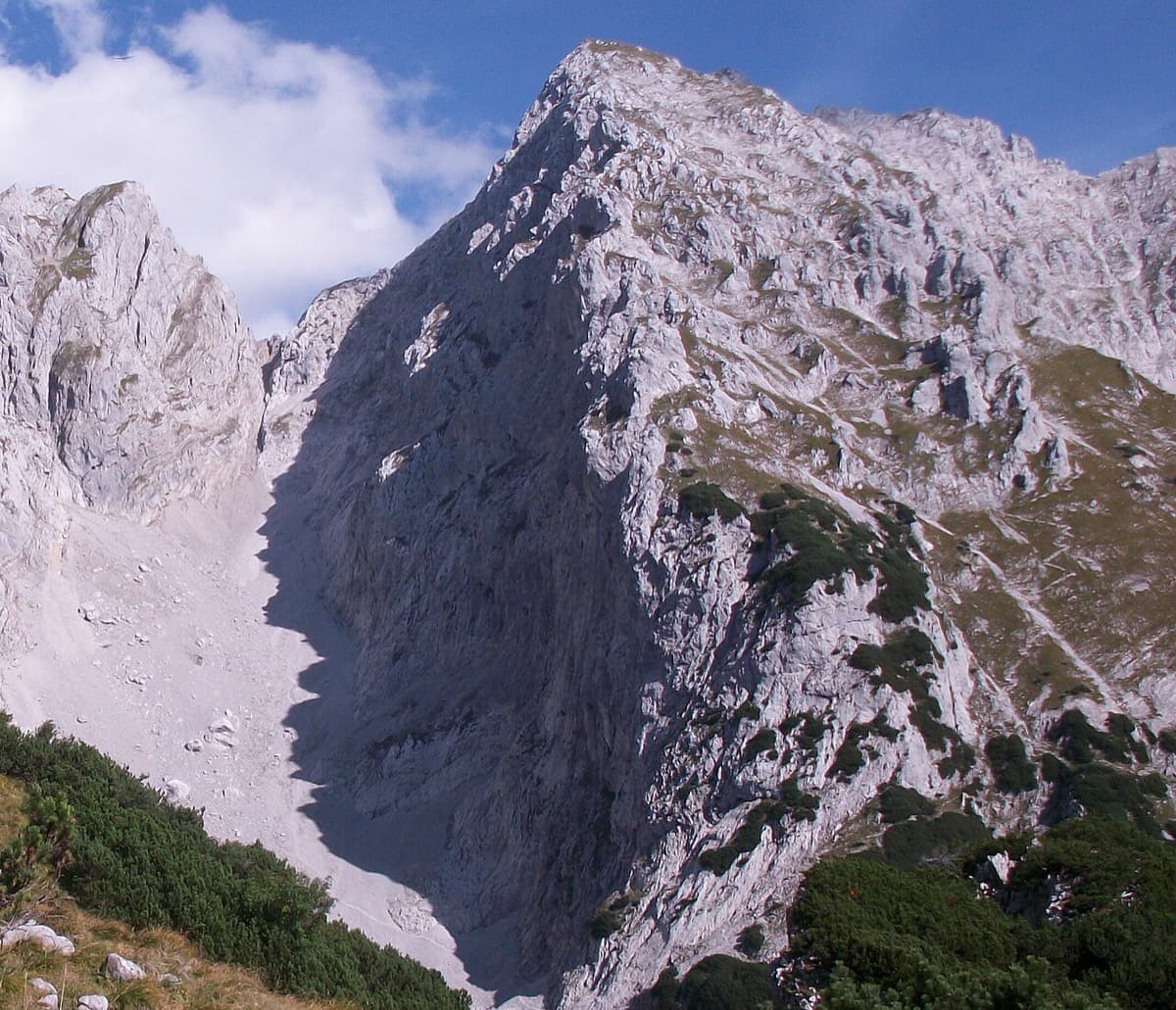
The south face of the Jegihorn seen from the approach path; Alpendurst climbs the middle of the face to the summit

Switzerland · Saas Valley

Alpendurst

Fourteen pitches of steady 4b and 4c on good gneiss that finish at the summit cross of a 3206 m peak, reached from a gondola. It is the best-known plaisir route on the Jegihorn, closely bolted with chained belays, and often climbed in mountain boots as a first long alpine rock route. Expect company: it is very busy in high summer.

4c14 pitches350 m
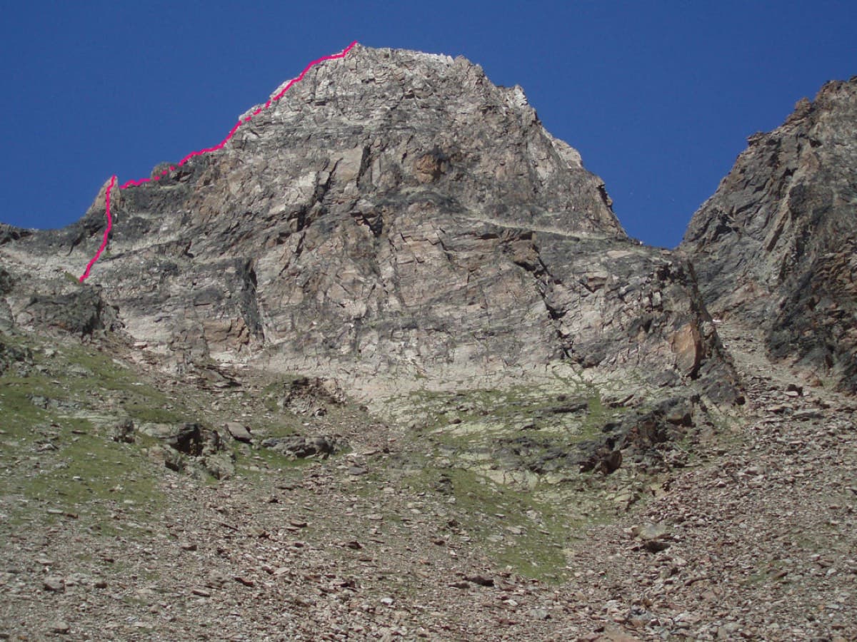
The Jegihorn from the south with the line of the Südkante drawn along the left-hand skyline

Switzerland · Saas Valley

Südkante (South Ridge)

The left edge of the Jegihorn's south face: a 1922 ridge climb turned into a bolted outing of many short pitches, mostly grade 3 and 4. The one real step is the red gendarme, a well-bolted pitch of 5a. More varied than Alpendurst, with slabs, a short steep wall and narrow sections of crest, and a summit finish at 3206 m.

5a18 pitches300 m

On Verdauungsweg, Dri Horlini: stepped tawny gneiss above the Almagellerhütte

Switzerland · Saas Valley

Verdauungsweg

The 'digestion route': four 20 m pitches of grade 3 and 4 on solid gneiss, fifteen minutes above the Almagellerhütte at 2900 m. Very closely bolted, with iron rods to stand on at the two steepest steps, and well suited to practising in mountain boots or to a first multipitch after the walk up to the hut.

4b4 pitches80 m

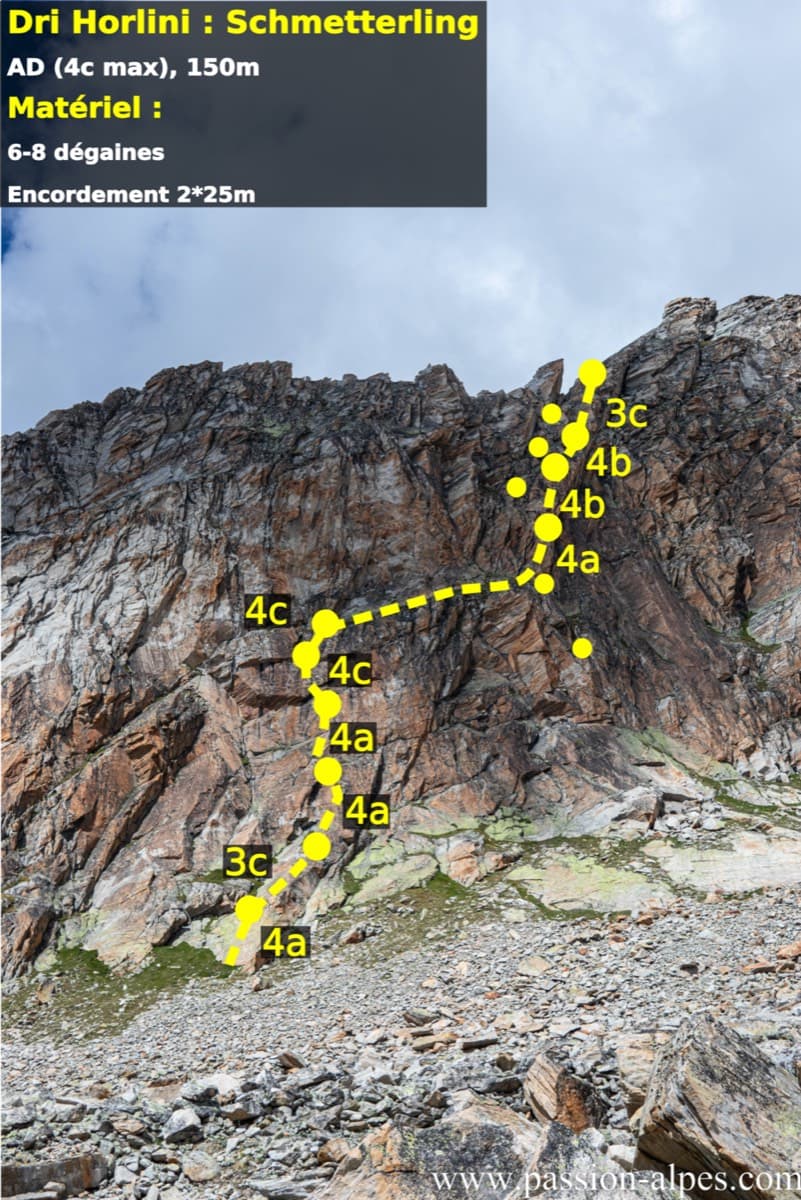
Photo-topo of Schmetterling on the Dri Horlini with belays and pitch grades

Switzerland · Saas Valley

Schmetterling

Ten short pitches of grade 4 on superb red-brown gneiss at 2900 m, ten minutes from the Almagellerhütte. Steep little slabs with good holds, closely bolted, and often climbed in mountain boots. An ideal first high-mountain multipitch or an afternoon route after the walk up to the hut.

4c10 pitches150 m

Around 5a · about 10 pitches

Similar elsewhere

The Schneekar and the north side of the Treffauer, where the route climbs the lower rocks beside the normal route

Austria · Wilder Kaiser

König der Löwen

Nine pitches of easy slabs and water runnels beside the Treffauer normal route, UIAA 5 at most if you take the easy variant on pitch 4. Lots of bolts and friendly ground make it one of the most popular routes in the Schneekar. The rock is not solid everywhere and the walk-in is two hours.

5a9 pitches280 m

The Röthelstein near Mixnitz

Austria · Grazer Bergland

Strauchdieb

A new (2025) nine-pitch outing on the right edge of the Breite Wand that weaves between the bushes. Three spots of UIAA 5-/5, otherwise easier. Still a little earthy in places.

5a9 pitches260 m

No photo yet

Switzerland · Wiwanni (Baltschiedertal)

Salamander

Eight short pitches of 4b to 5a on compact, grippy gneiss slabs above the Wiwannihütte, finishing on a 2880 m summit. Pitches 3 and 4 climb a big steep slab that is the heart of the route. Chained belays and an abseil descent make it the gentlest introduction to the Wiwanni routes, though the starting pitches feel stiff for 4b.

5a8 pitches180 m

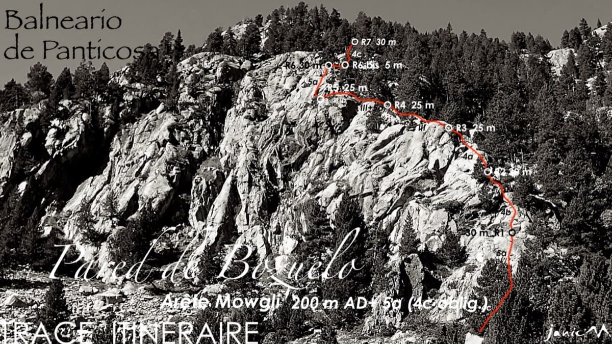
Line of the Arista Mowgli on the Pared de Bozuelo above Baños de Panticosa, with belays marked

Spain · Aragonese Pyrenees (Tena & Canfranc valleys)

Arista Mowgli

An easy granite ridge above the Bozuelo meadows, low-angled and never exposed. Two smooth friction slabs at 5a, on pitches 1 and 6, are the only real difficulties; the rest is steps and short walls at grade 3 to 4. Ideal for a first multipitch, and you can step off rightwards onto ledges almost anywhere.

5a7 pitches200 m

Compiled from published sources and last verified October 2026. Bolts, anchors and access change. Climbing is dangerous and you are responsible for your own decisions: check a current topo and read the disclaimer.