Multipitch Atlas

Südkante (South Ridge)

Jegihorn – south face (Kreuzboden / Weissmieshütte) · Saas Valley · Switzerland

Bail with caveatsBolting confidence: high

The left edge of the Jegihorn's south face: a 1922 ridge climb turned into a bolted outing of many short pitches, mostly grade 3 and 4. The one real step is the red gendarme, a well-bolted pitch of 5a. More varied than Alpendurst, with slabs, a short steep wall and narrow sections of crest, and a summit finish at 3206 m.

The Jegihorn from the south with the line of the Südkante drawn along the left-hand skylinePhoto: R.B. · CC BY-NC-ND 3.0

Topo

The Jegihorn from the south with the line of the Südkante drawn along the left-hand skylinePhoto: R.B. · CC BY-NC-ND 3.0
Hardest pitch
5a
Pitches
18
Length
300 m
Approach
75 min
Aspect
SE
South-east-facing
Rope
1×30 m is enough for the pitches as bolted
1×50 m lets you link them

The route

Overview

The Südkante follows the left-hand edge of the Jegihorn's south face over a prominent red gendarme to the summit cross. It was first climbed solo in 1922 and bolted in 2003, and it is now one of three easy bolted routes on the face, with Alpendurst and Panorama. The climbing is mostly grade 3 and 4 in short pitches, with two harder passages: the gendarme at 5a (some sources say 5a+) and a second 5a higher up that can be avoided by a gully on the left. A mountain guide who published a topo in 2024 rates it the best of the three for its variety and its views from the crest. Belays are close together and are often skipped.

The climbing

Pitch by pitch

Pitches of Südkante (South Ridge)
PitchGradeLengthNotes
P13c25 mDark slabs below the gendarme.
P23a25 mEasy.
P33a15 mShort pitch, then a walking transition up the grassy ramp that rises below the gendarme.
P43a20 mEasy pitch after the ramp.
P54c25 mThe hardest pitch below the gendarme. The 2024 topo mentions a pale slab on the step leading to the gendarme, which can also be used as a direct start.
P63b22 mEasier again.
P74b22 mThe pitch before the first 5a.
P85a20 mThe red gendarme: the crux, steep and very well bolted. Camptocamp's text and Summitpost call it 5a+. Several parties put rock shoes on for this pitch only.
P9215 mNarrow, exposed crest just after the gendarme.
P104a25 mContinue up the ridge.
P115a28 mOn the crest at 5a, or avoid it by the grade 3 gully on the left.
P124a18 mShort pitch.
P134a15 mShort pitch.
P144a15 mShort pitch.
P154a20 mPass an intermediate belay.
P163c18 mEasier.
P174a18 mShort pitch.
P183c15 mLast pitch; about 30 m of rock steps lead to the summit.

Getting there

Approach

To the parking

Saas-Grund is in the Saas Valley above Visp (Valais); postbuses run from Visp station. Take the Hohsaas gondola from Saas-Grund to its middle station, Kreuzboden (2397 m). The lift is included in the SaastalCard that overnight guests in the valley receive (the valley campsite counts), and parking at the valley station was 12 CHF a day in 2022. Parties report the first cabin at about 7:30 in high summer. The alternative is to sleep at the Weissmieshütte (2726 m), about 30 minutes above Kreuzboden.

On foot · about 75 min

As for Alpendurst: from Kreuzboden follow the piste left and then the signposted Jegihorn path (JH arrows, blue-and-white marks), 1 h 15; from the Weissmieshütte about 30 to 45 minutes. The route starts on dark slabs in the fall line of the gendarme, before the path swings clearly left into rock steps; the bolts are easy to see. You can also start higher, directly up the pale slab of the step leading to the gendarme. Do not confuse it with a bolted line at the same height as Alpendurst and about 50 m to its left: a 2022 party found that this leads in one 50 m pitch to a grass slope, which you then have to climb leftwards to reach the proper starting slab.

Map of the walk-in

  • Crag
  • Parking

Loading map

The point marks the crag, not the exact start of the route.

Coordinates · crag

46.15146, 7.97017

Parking

46.13903, 7.96333

Kreuzboden gondola station, 2397 m (camptocamp waypoint 465854): the top of the lift from Saas-Grund, where the walk starts. Cars stay at the valley station in Saas-Grund.

Point from camptocamp waypoint 43177 (Jegihorn summit; the routes climb the south face directly below and finish at the summit cross). Summitpost gives 46.1513, 7.9712 for the same point.

For your phone or watch

Download GPX

Contains the route point and parking. Opens in most mapping apps and GPS watches.

Points are compiled from published sources, with the precision stated above. They were not surveyed on the ground: check them against a current topo.

Getting down

Descent

On foot by the blue-and-white marked normal route from the summit, the same descent as Alpendurst: about 1 hour to the Weissmieshütte or Kreuzboden for a fit party (camptocamp allows 2 hours).

Retreat

Bailing off the route

Bail with caveats

No source describes abseiling the route. The belays are close together, but each is two unlinked bolts with no abseil hardware mentioned, so retreating means leaving your own gear. A September 2024 party did come down from pitch 4 when it started to snow; they do not say how. The lower pitches are easy-angled grade 3 with a grassy ramp alongside.

Retreat from
Not documented beyond the retreat from pitch 4 in 2024. The grassy ramp reached after pitch 3 is walking terrain (inferred from the topo).
Point of no return
Not documented. Past the gendarme (pitch 8) the ridge is narrow and a retreat would mean reversing or abseiling the crux step.
Carry
Maillons or karabiners and a sling to leave at the unlinked two-bolt belays. Pitches are 15 to 28 m, so a 50 m rope doubled reaches the previous stance in most places (inferred).
Basis
Inferred from the route factsCamptocamp states only that belays are two unlinked bolts; the rest is inferred from the 2024 topo's pitch lengths and one party's unexplained retreat.

Partly inferred from the route facts

Safety

Hazards

  • Loose blocks on the ledges and beside the route: a guide in July 2024 wrote that the route needs cleaning given how busy it is. Take care not to knock stones onto parties below.
  • Unlinked belays: each stance is two separate bolts.
  • Finding the start: parties in 2022 and 2023 both ended up at the wrong bolted line or at Alpendurst before finding the slab under the gendarme.
  • A 3200 m summit with a walk-off of an hour or more: afternoon storms and early or late-season snow are real factors.
  • Popular with courses and club groups; four parties on the route at once is normal.

Sun and weather

Conditions

South-east to south facing, 2900 m to 3206 m. Season roughly July to September. In late June 2024 there was still a modest snow patch at the foot of the face, passable without trouble; in late September 2024 one party was snowed off pitch 4 and came back the next day to rime in the morning, starting at midday. The same gondola timetable governs the day as for Alpendurst.

Usual season · Jul to Sep

Sun on the wall · SE-facing

Working out the sunlit hours for this month.

  • January: not yet worked out
  • February: not yet worked out
  • March: not yet worked out
  • April: not yet worked out
  • May: not yet worked out
  • June: not yet worked out
  • July (usual season): not yet worked out
  • August (usual season): not yet worked out
  • September (usual season): not yet worked out
  • October: not yet worked out
  • November: not yet worked out
  • December: not yet worked out

Sun on the wallDaylight, wall in shade● Usual season

Estimated from the wall's aspect only. Ignores surrounding terrain, gullies and the wall's exact shape. Clock times are local to the wall (Central European time), for the 15th of each month.

Climate figures for Saas Valley are not available yet

What to carry

Gear

10 quickdraws, a couple of slings to link the two-bolt belays, helmet. A 30 m rope is enough if you stop at every belay; with 50 m and a few extra quickdraws you can run pitches together. No cams or nuts. Mountain boots suit the route well; rock shoes help on the gendarme.

Checklist

Quickdraws
10
Rope
1×30 m is enough for the pitches as bolted; 1×50 m lets you link them
Helmet
One each
Slings
Mentioned for retreat
Maillons or spare karabiners
To leave behind if you retreat

Derived from the route data; check it against a current topo

From climbers

Reader reports

Reader reports are not being collected yet. Until they are, check a current topo and the local club or guidebook publisher for recent changes to Südkante (South Ridge).

Worth knowing

Tips

  • Check the gondola dates and last descent before you go. A third-party guide (last updated 2019) gives a summer season from early June to the end of September, running 7:45 to 16:15 from late June to the end of August and with a lunch break in June, September and October; the official timetable is on saas-fee.ch. Miss the last cabin and it is a long walk down to Saas-Grund.
  • Allow about 3 hours on the route; parties who move together on the easy sections are quicker.
  • The grades in the Plaisir guide confused a 2024 party: some pitches given 4c felt like 3 and some given 3a felt like 4. Overall difficulty stays modest.
  • Carry the topos for Alpendurst and Panorama and choose at the foot of the face according to the queues.

Open questions

Where sources disagree

  • Pitch count: camptocamp speaks of 14 belays in total; the 2024 passion-alpes topo, used here, lists 18 short pitches with a walking transition after the third.
  • Crux grade: 5a in camptocamp's rating and the 2024 topo; 5a+ in camptocamp's text and on Summitpost (UIAA V+).
  • Obligatory grade: 4c (camptocamp) against 4b (passion-alpes).
  • Length: 300 m (camptocamp, passion-alpes) against about 350 m of climbing (Summitpost).

Provenance

Sources

Same area

More in Saas Valley

All routes in Saas Valley
The south face of the Jegihorn seen from the approach path; Alpendurst climbs the middle of the face to the summit

Switzerland · Saas Valley

Alpendurst

Fourteen pitches of steady 4b and 4c on good gneiss that finish at the summit cross of a 3206 m peak, reached from a gondola. It is the best-known plaisir route on the Jegihorn, closely bolted with chained belays, and often climbed in mountain boots as a first long alpine rock route. Expect company: it is very busy in high summer.

4c14 pitches350 m
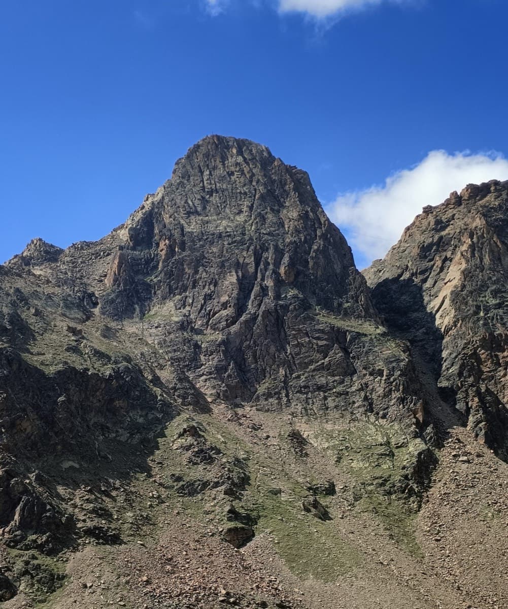
The Jegihorn south face from the approach; Panorama is the right-hand route on the face

Switzerland · Saas Valley

Panorama

The right-hand of the Jegihorn's three easy bolted routes and the quietest. Ten long pitches up low-angled slabs and then a steeper, airy central section on sharp flakes and edges, finishing along a short crest to the 3206 m summit. Bolts are further apart than on Alpendurst and the belays are unlinked, so it suits a leader who is steady at 4c.

5a10 pitches360 m

Read the cautionsCommitting

On Verdauungsweg, Dri Horlini: stepped tawny gneiss above the Almagellerhütte

Switzerland · Saas Valley

Verdauungsweg

The 'digestion route': four 20 m pitches of grade 3 and 4 on solid gneiss, fifteen minutes above the Almagellerhütte at 2900 m. Very closely bolted, with iron rods to stand on at the two steepest steps, and well suited to practising in mountain boots or to a first multipitch after the walk up to the hut.

4b4 pitches80 m

Photo-topo of Schmetterling on the Dri Horlini with belays and pitch grades

Switzerland · Saas Valley

Schmetterling

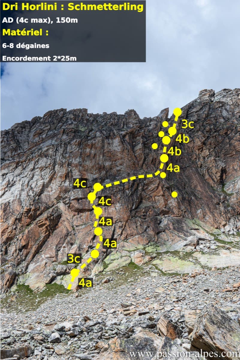
Ten short pitches of grade 4 on superb red-brown gneiss at 2900 m, ten minutes from the Almagellerhütte. Steep little slabs with good holds, closely bolted, and often climbed in mountain boots. An ideal first high-mountain multipitch or an afternoon route after the walk up to the hut.

4c10 pitches150 m

Around 5a · about 18 pitches

Similar elsewhere

The Wiwannihorn from near the hut; the east ridge is the right-hand skyline

Switzerland · Wiwanni (Baltschiedertal)

Ostgrat (East Ridge)

A 17-pitch bolted ridge to a 3001 m summit. Three slab and wall pitches of 5a and 5b come first, then a long run of grade 3 and 4 on the crest that many parties climb moving together, with one fine 5a in the middle. A full mountain day: the summit ridge beyond the last bolt and the scrambling descent are part of it.

5b17 pitches400 m

Read the cautions

The painted sign marking the start of the Voie Câline on the Rocher des Mottets

France · Chamonix valley

Voie Câline

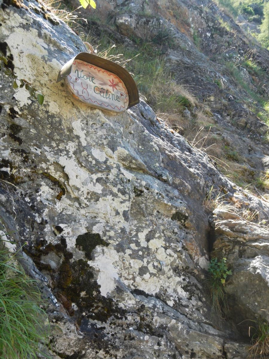
Nineteen very short pitches of easy slab above Les Bois, never harder than 4b and bolted like a climbing school. It is the standard first multipitch of the Chamonix valley, long enough to feel like a real outing and finishing at a mountain café with a view of the Mer de Glace.

4b19 pitches260 m

The Parete Zebrata (Placche Zebrate) above Dro, with the lines of three other routes at its left end marked

Italy · Arco & Valle del Sarca

Rita

This is the archetypal long, easy Arco slab, first climbed in 1971. It wanders up the lower bands and then improves into a superb water-worn chimney system in the upper half. It is very polished and very busy, so start early. Original grade 6- UIAA per bergsteigen.com; gulliver gives 5c max.

5c16 pitches400 m

Read the cautions

Alpe Gorta above Crevoladossola, with the rocky outcrops behind the huts

Italy · Val d'Ossola

Il Solitaire

A long, sunny friction-slab route of about 35 m pitches on excellent rock, ideal for learning footwork. The hardest move is a short crack-and-chimney finish on the last pitch. Allow about 3 h up and 1 h down.

5b13 pitches430 m

Compiled from published sources and last verified October 2026. Bolts, anchors and access change. Climbing is dangerous and you are responsible for your own decisions: check a current topo and read the disclaimer.