Multipitch Atlas

Golondrina

Malines · Verdon · France

Read the cautionsBail with caveatsBolting confidence: high

A modern (2019) line up a staircase of limestone pillars above the Chalet de la Maline, with short walking links between them. Harder than its old 6a grade suggests: recent parties report obligatory 6a+/6b moves on the first three pitches, and the last pitch is 6b+ or A0.

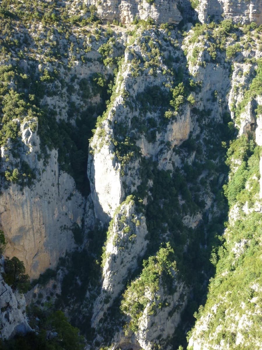
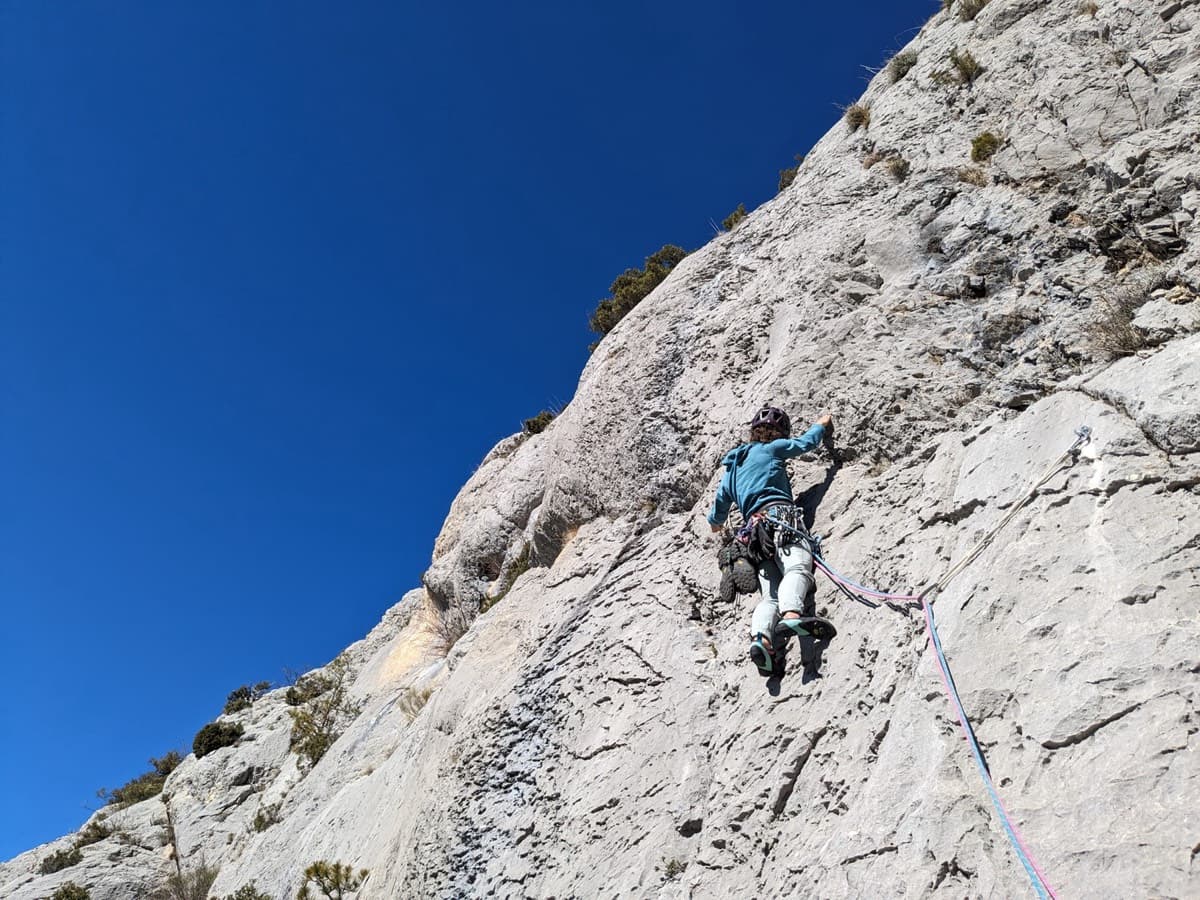
Overview of the Malines cliff, VerdonPhoto: Christophe Bordieu · CC BY-SA 3.0

Photo

Overview of the Malines cliff, VerdonPhoto: Christophe Bordieu · CC BY-SA 3.0
Hardest pitch
6b+
Pitches
10
Length
300 m
Approach
5 min
Aspect
S
South-facing
Rope
2×50 m
Read before you go

Fully bolted, but sandbagged with obligatory moves around 6a+/6b, a 6b+/A0 last pitch, some friable rock and two-rope abseils, so it is not the easy 6a its old grade suggests.

The route

Overview

Golondrina climbs a staircase of separate limestone pillars above the Chalet de la Maline, on the rim side of the Verdon rather than in the gorge itself. It comes in three parts: four steep, sustained pitches that climb properly, five mountain-style pitches of arêtes and short steps linked by walking, and a final steep crack pitch. The published camptocamp grades (6a max) are widely reported as sandbagged; the equipper's own topo gives 6a+ and 6a/b low down and 6b+/A0 on the last pitch. Bolts are modern but the hard moves are obligatory between them. Reviews are mixed: some enjoy the journey and the view, others find it scrappy with too many transitions.

The climbing

Pitch by pitch

Pitches of Golondrina
PitchGradeLengthBoltsNotes
P15c+25 m9 boltsSteep, sustained pillar, then an arête to a belay on 3 unlinked bolts (one with a ring). Equipper's topo: 6a then 5c. Parties felt 6a to 6a+; a bail maillon was seen on the third bolt in 2026.
P26a40 m13 boltsTwo successive walls separated by a traverse right, then an easy-angled slab to a belay on 2 linked bolts. The first third is the hard part. Equipper's topo: 6a+. Parties felt 6a+ to 6b+ with obligatory bouldery moves.
P35c15 m7 boltsAfter a 20 m transition (reach a notch, climb up opposite to the next pillar, slightly right). Short pillar with two thin moves at the top; belay on 2 unlinked bolts a little down and left at the exit. Equipper's topo: 5c then 6a/b. Parties felt 6a to 6b+ for one reachy move.
P45c40 m13 boltsAfter a 15 m traverse left. A big straight pillar, then slightly up and left to a belay on 2 linked bolts on top. Abseil escape possible from here (35 m). The last pitch of the lower section that climbs properly; some felt 6a.
P55b50 m12 boltsAfter a 20 m transition. A pocketed pillar, then a series of small pillars to a belay on 2 unlinked bolts.
P65a30 m3 boltsAfter a 25 m transition (cairn). A small pillar, then an easy arête to a belay on 2 unlinked bolts. Only 3 bolts.
P75b40 m10 boltsStart up a corner, cross a notch that you descend into on a fixed rope, then a corner on a second pillar to a belay on 2 unlinked bolts. Felt 5c by one party.
P85b30 m6 boltsA corner, a small arête and a short step to a belay on 2 unlinked bolts. Equipper's topo: 5b/c.
P95b55 m10 boltsAfter a 100 m transition: descend from the pillar and climb back up following cairns. A smooth slab, then several short steps to a belay on 2 unlinked bolts.
P106a45 m14 boltsAfter a 70 m transition: up a little, then horizontally right to the foot of the last pillar at a crack (leave bags here). Follow the crack, with a passage on delicate rock, to the top of the pillar (1 directional bolt), then left to the abseil belay. Equipper's topo: 6b+/A0 then 6a; one party felt 6b. Several parties skip it.

Getting there

Approach

To the parking

From La Palud-sur-Verdon drive about 8 km to the Chalet de la Maline. Go past it and park after the right-hand bend, in a car park on the right of the road before the no-entry sign.

On foot · about 5 min

About 5 min. Walk up the road to the area where buses turn round. Take the path that follows the water intake, go past it, and a little higher leave the track that goes straight up for one that traverses right (cairn) to the foot of the route in a thicket. Parties used the cairns plus the GPS point for the start.

Map of the walk-in

  • Crag

Loading map

The point marks the crag, not the exact start of the route.

Coordinates · crag

43.74830, 6.32842

Point from camptocamp waypoint 40707

For your phone or watch

Download GPX

Contains the route point. Opens in most mapping apps and GPS watches.

Points are compiled from published sources, with the precision stated above. They were not surveyed on the ground: check them against a current topo.

Getting down

Descent

About 1 h. Abseil 35 m (30 m on the equipper's topo) from the top of the last pillar to its foot and walk back to the bottom of pitch 10 to collect bags. Descend and traverse left along a fixed rope to the second abseil belay; abseil 15 m. Go straight down on tracks to a small chimney with a knotted rope, then follow the scree lines, keeping right all the way, to the road. The scree gully is steep (about 45 min); wear proper shoes. If you skip pitch 10, go directly to the 15 m abseil.

Retreat

Bailing off the route

Bail with caveats

You can bail from the lower section. An abseil escape of 35 m is given from the belay at the top of pitch 4, one party left after pitch 3, and a bail maillon was seen on pitch 1 in 2026. Above pitch 4 no escape is described, and most belays are two unlinked bolts.

Retreat from
R4 (two linked bolts, 35 m abseil escape). Also after pitch 3, as one party did; the route is a chain of pillars with walking transitions of 15 to 100 m between them.
Point of no return
R4 is the last documented escape. Beyond it the sources describe only carrying on to the top; you can skip pitch 10 and go straight to the 15 m abseil of the normal descent.
Carry
2×50 m ropes (2×60 m is better). Slings, maillons or old karabiners for the unlinked belays.
Basis
Part stated, part inferredcamptocamp states the R4 abseil escape, the party leaving after pitch 3, the bail maillon and the unlinked belays; that nothing is documented above R4 is an absence in the sources, not a statement that retreat is impossible.

Partly inferred from the route facts

Safety

Hazards

  • Grades on camptocamp are reported as well below reality on pitches 1-3 and 10. Expect up to 6a+/6b obligatory low down and 6b+ (or A0) on the last pitch.
  • Hard moves are obligatory between the bolts; equipment was called inconsistent by one party (normal on easy ground, run-out, more or less obligatory on the graded passages).
  • Pitch 6 (30 m, 5a) has only 3 bolts.
  • Rock is new and very abrasive, and friable in places towards the end of the route; do not pull hard on holds. Pitch 10 has a section of delicate rock.
  • Fixed ropes are part of the route and the descent (notch on pitch 7, traverse to the second abseil, knotted rope in the chimney). Check them before trusting them.
  • Dead trees by the descent chimney: do not stand on them (2026 report).
  • Most belays are two bolts that are not linked.
  • Route-finding on the transitions (20 to 100 m of walking and scrambling between pillars) is awkward; cairns can be hard to see.

Sun and weather

Conditions

South-facing, starting at about 900 m. Cool starts in spring, then strong sun on the upper part. Gusty wind reported in May 2026. Camptocamp has only six logged outings since 2021.

Usual season · Mar to Jun, Sep to Nov

Sun on the wall · S-facing

Working out the sunlit hours for this month.

  • January: not yet worked out
  • February: not yet worked out
  • March (usual season): not yet worked out
  • April (usual season): not yet worked out
  • May (usual season): not yet worked out
  • June (usual season): not yet worked out
  • July: not yet worked out
  • August: not yet worked out
  • September (usual season): not yet worked out
  • October (usual season): not yet worked out
  • November (usual season): not yet worked out
  • December: not yet worked out

Sun on the wallDaylight, wall in shade● Usual season

Estimated from the wall's aspect only. Ignores surrounding terrain, gullies and the wall's exact shape. Clock times are local to the wall (Central European time), for the 15th of each month.

Monthly climate averages for Verdon, 1991-2020
MeasureJanFebMar (usual season)Apr (usual season)May (usual season)Jun (usual season)JulAugSep (usual season)Oct (usual season)Nov (usual season)Dec
Mean daily high °C781114182326262116118
Mean daily low °C−1−21481214141173−1
Rain days 1 mm or more778121185689108
Sunshine hours a day7.28.59.810.912.213.814.012.710.78.77.26.9

● marks the usual climbing season. Averages for 1991-2020 at about 822 m. Area climate from Open-Meteo reanalysis (about 10 km grid): the wall and valley can differ. Data: Open-Meteo, CC BY 4.0.

What to carry

Gear

Two-strand abseil rope, 2×50 m; 2×60 m is better because some pitches are a little over 50 m. 14 quickdraws (not counting belays). Slings to link the belay bolts and long slings or extenders for drag on the wandering upper pitches. Helmet. Approach shoes for the transitions and the scree descent.

Checklist

Quickdraws
14
Rope
2×50 m
Helmet
One each
Abseil device and prusik
The descent or the retreat involves abseiling
Slings
Mentioned for retreat
Maillons or spare karabiners
To leave behind if you retreat

Derived from the route data; check it against a current topo

From climbers

Reader reports

Reader reports are not being collected yet. Until they are, check a current topo and the local club or guidebook publisher for recent changes to Golondrina.

Worth knowing

Tips

  • Escape by abseil from the belay at the top of pitch 4 (35 m), or leave after pitch 3 as one party did.
  • Pitches 5 to 9 can be climbed moving together on about 25 m of rope.
  • On the long wandering pitches clip alternate strands and extend the runners.
  • Leave bags at the foot of pitch 10; the abseil brings you back there.
  • Allow 4 h 30 to 5 h for the climb, more with the descent; one party took 8 h with lunch.
  • Trip reports say the grades in the 2022 Verdon guidebook are different from, and harder than, those on camptocamp.

Open questions

Where sources disagree

  • Grades: camptocamp 5c+, 6a, 5c, 5c, 5b, 5a, 5b, 5b, 5b, 6a; the equipper's photo-topo 6a, 6a+, 6a/b, 5c, 5b, 5a, 5b, 5b/c, 5b, 6b+/A0. Trip reports side with the harder set or higher (6b+ felt on pitches 2 and 3). The pitch list shows the camptocamp grades with the alternatives in the text.
  • Obligatory grade: 6a (camptocamp) vs 5c (equipper's topo); parties felt harder.
  • Length: 350 m (camptocamp) vs about 300 m (equipper's topo).
  • Top abseil: 35 m (camptocamp) vs 30 m (equipper's topo).
  • Bolts: 12 mm (camptocamp) vs 12 and 10 mm (equipper's topo).
  • Quality: no source read calls it one of the best moderate long routes in the Verdon; trip reports range from 'loved it' to 'neither pretty nor pleasant'.

Provenance

Sources

Same area

More in Verdon

All routes in Verdon
The Herbetto ridge in the Imbut sector of the Verdon, seen from the Imbut path

France · Verdon

L'Herbetto

The easiest way to climb out of the Verdon gorge: a long, wandering ridge of short pitches at grade 3 and 4 that starts close to the river and finishes near the rim road. The climbing is modest but the setting is the full Verdon. You walk down a steep path with fixed ropes to reach the start, so the route is your way back up.

4c9 pitches180 m

Read the cautions
Pitch 4 (6a+) of Dans les Yeux d'Hervé: compact grey Verdon limestone

France · Verdon

Dans les Yeux d'Hervé

Seven pitches of compact grey water-pocketed wall high above the mouth of the Verdon gorge, with a view over the Lac de Sainte-Croix. It zigzags a great deal, so both leader and second need to be happy on traverses. A short, bouldery 6c+ bulge (6a/A0) is the only move above 6b+, and the final pillar pitch is the highlight.

6c+7 pitches160 m

Committing

Around 6b+ · about 10 pitches

Similar elsewhere

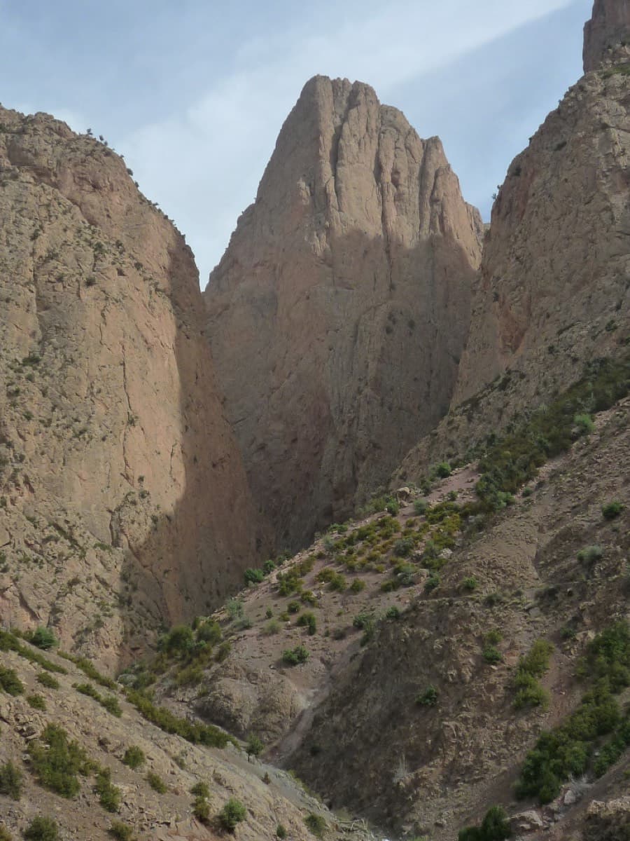
The Paroi des Sources (left) and the Taoujdad seen from near Taghia

Morocco · Taghia

Belle et Berbère

Ten pitches of even 6b and 6b+ on compact rock ten minutes from the gîtes, mostly technical slab and wall climbing on your feet, with a 50 m sixth pitch on vertical edges that everyone singles out. It is among the most accessible long routes at Taghia, in the shade for most of the day, and a little polished low down.

6b+10 pitches330 m

Read the cautions

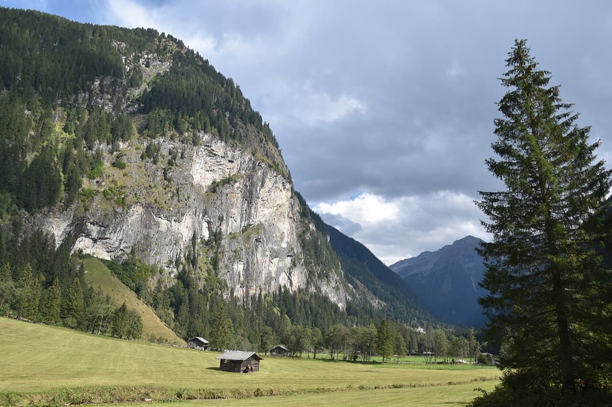
The Himmelwand in the Kötschachtal near Bad Gastein; the Kleine Himmelwand lies beyond the main wall

Austria · Gastein (Hohe Tauern)

Father and Son

Ten pitches of varied climbing on good rock, mostly slabs with some cracks and steeper passages. Largely UIAA 5 with a few moves of 6 and three spots of 7 that go at 6+ A0. A short walk-in and a rigged abseil line.

6b+10 pitches350 m

No photo yet

France · Aravis

Heididoune

A ten-pitch line to the summit of the Pointe Percée, the high point of the Aravis, following green hangers up the cool north-west face. Seven long pitches, mostly easy with a 6a+ wall, reach the notch of the Arête du Doigt; three independent pitches finish it, including a memorable slab traverse of 6b+ that can be aided on the bolts.

6b+10 pitches400 m

Read the cautions

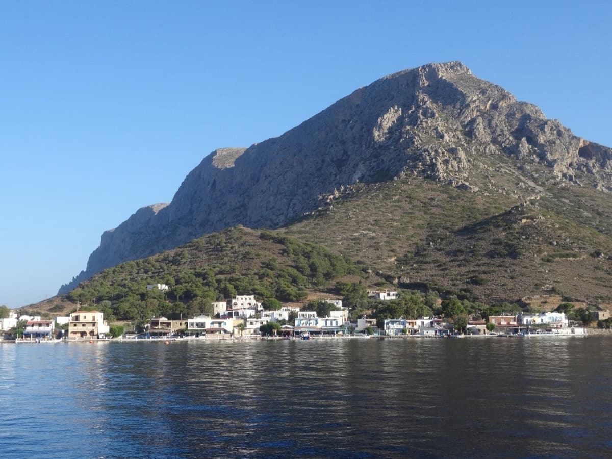
Telendos harbour and the south face of the island, seen from the water

Greece · Kalymnos & Telendos

Eterna

Eleven pitches up the south face of Telendos on extraordinarily sculpted rock, finishing with a 50 m wall of flint-like knobs. Two 6b+ pitches low down are the cruxes and the grades are widely called friendly. With the boat or coastal walk in and the walk off over the island, it makes a full and memorable day.

6b+11 pitches265 m

Compiled from published sources and last verified October 2026. Bolts, anchors and access change. Climbing is dangerous and you are responsible for your own decisions: check a current topo and read the disclaimer.