Multipitch Atlas

Dans les Yeux d'Hervé

Galetas supérieur · Verdon · France

CommittingBolting confidence: high

Seven pitches of compact grey water-pocketed wall high above the mouth of the Verdon gorge, with a view over the Lac de Sainte-Croix. It zigzags a great deal, so both leader and second need to be happy on traverses. A short, bouldery 6c+ bulge (6a/A0) is the only move above 6b+, and the final pillar pitch is the highlight.

Pitch 4 (6a+) of Dans les Yeux d'Hervé: compact grey Verdon limestonePhoto: Pilou Bergues · CC BY-NC-ND 3.0

Photo

Pitch 4 (6a+) of Dans les Yeux d'Hervé: compact grey Verdon limestonePhoto: Pilou Bergues · CC BY-NC-ND 3.0
Hardest pitch
6c+
Pitches
7
Length
160 m
Approach
60 min
Aspect
S
South-facing
Rope
Single rope
length not stated; longest pitch 45 m

The route

Overview

The Galetas supérieur cliff sits about 200 m above the D952 at the entrance to the gorge, above the Saint-Maurin waterfalls. This was the first route on it. It climbs steep walls and slabs on pockets, water-drops and flakes, weaving left and then right across the face, so the 160 m of height gain becomes about 200 m of climbing. The average level is about 6b, with sustained moves at 6a+ to 6b between bolts on pitches 3 and 7; parties suggest being solid at 6b or 6b+ to enjoy it. The approach and the walk back are pleasant paths through the Saint-Maurin nature reserve.

The climbing

Pitch by pitch

Pitches of Dans les Yeux d'Hervé
PitchGradeLengthNotes
P16a45 mAn easy-angled slab at 5b/c, a short steep step at 6a, then a few metres of slab. A small seep under the bulge can make the 6a move harder.
P26c+18 mShort. A steep, bouldery, fingery bulge on pockets that are hard to read, then a few metres of easier wall. Goes at 6a/A0 by pulling on the bolts. It comes while your fingers are still cold.
P36b+40 mStarts with a horizontal traverse left. A fine, fairly sustained pitch, often traversing left, on slab and steeper bits of wall. Atmospheric for both climbers.
P46a+30 mMore of the same, a little easier.
P56a30 mStraight up the wall, then a long horizontal traverse right, crossing a newer route, and up to a belay on the ledge with a distinctive small oak. The rock is poorer for a few metres at the end.
P65c20 mA short horizontal traverse right on middling rock to the belay under the summit pillar.
P76b+30 mThe steep crest of the pillar, left for an easier slab climbed direct to the end of the difficulties and a belay. Easy ground for 20 m leads to the trees.

Getting there

Approach

To the parking

The route is reached from the D952 between Moustiers-Sainte-Marie and La Palud-sur-Verdon. Park either at the Saint-Maurin car park, about 300 m from the small road-mender's house by the Saint-Maurin waterfall (or, as the route page puts it, on the right 200 m before the forestry house when coming from La Palud), or at the Félines car park or a lay-by 1 km beyond it coming from Moustiers.

On foot · about 60 min

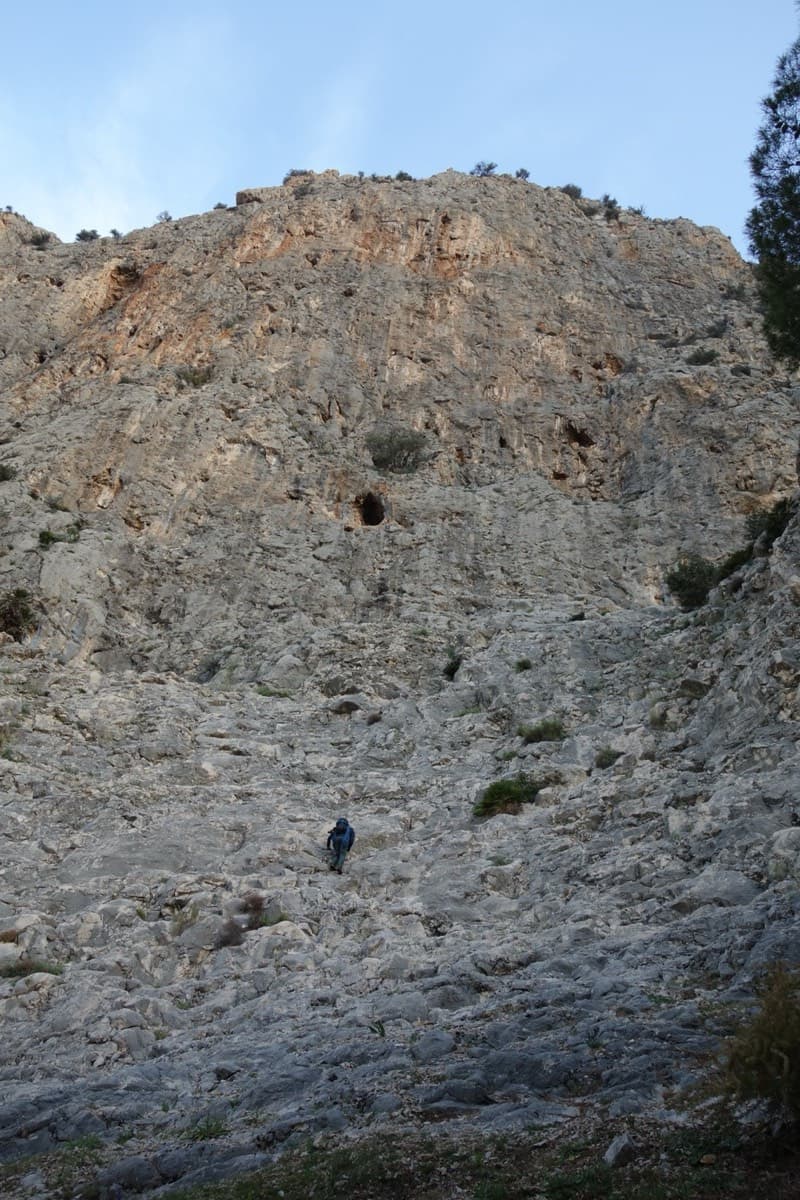
About 1 hour. Option 1, from Saint-Maurin: take the path that climbs beside the road, then contours through the wet ground of the reserve and rises to the troglodyte shelters. Pass above them and keep climbing. Where the path nears the stream and bends right, take a faint track to the stream and cross it on three logs to join the yellow-marked path. Follow it left, downhill at first to get round some crags, then rising towards Moustiers. Option 2, from Félines: follow the yellow-marked path beside the road for half an hour to a narrow passage protected by a cable; the turn-off is exactly 40 m further, on the left, at a cairn. Both options then follow small cairns up a scree slope to the foot of the cliff in about 10 min. The route starts left of the smooth slabs. A 2024 party warns not to follow the main path down to the scree that falls from the face: going up that way is possible but foul.

Map of the walk-in

  • Route base
  • Parking

Loading map

The point marks the base of the route.

Coordinates · route base

43.80292, 6.26006

Parking

43.79438, 6.26320

Parking de Saint-Maurin on the D952 (camptocamp waypoint 609142)

Point from camptocamp route 598830

For your phone or watch

Download GPX

Contains the route point and parking. Opens in most mapping apps and GPS watches.

Points are compiled from published sources, with the precision stated above. They were not surveyed on the ground: check them against a current topo.

Getting down

Descent

On foot. Follow the crest uphill (cairns), first on the edge and then on its left flank, to the forest and the yellow-marked path. For the Félines car park turn left, and after 100 m, at a viewpoint, left again (yellow cross). For Saint-Maurin turn right. Allow 40 min to 1 hour. Do not follow the ridge downhill to the west: a 2026 party did, ended up above another route and took 2 hours with three abseils.

Retreat

Bailing off the route

Committing

Camptocamp states plainly that there is no abseil descent. One party did retreat from the top of pitch 2 on an earlier attempt, and a 2026 party notes that after the second belay a retreat would be complicated because the route traverses so much. Above that point the realistic way off is up.

Retreat from
The first two belays (two bolts each): a retreat from the second belay is reported.
Point of no return
The start of pitch 3, which sets off on a horizontal traverse left.
Carry
For a retreat from the first or second belay, enough rope for the 45 m first pitch (two ropes) and maillons, as the belays are plain two-bolt stations.
Basis
Stated in the sourcesThe no-abseil statement is in the camptocamp route text; the pitch 2 retreat and the warning about retreat after the second belay come from dated trip reports. The rope requirement is inferred from pitch lengths.

Safety

Hazards

  • No abseil descent: camptocamp states that the route cannot be descended by abseil, and a 2026 party notes that retreat after the second belay would be complicated.
  • Long traverses on pitches 3, 5 and 6 are as serious for the second as for the leader.
  • A few metres of poor rock at the end of pitch 5 and the start of pitch 6.
  • Taking the ridge downhill from the top leads away from the path.

Sun and weather

Conditions

South-facing at 900 to 1000 m, exposed to west wind. Parties climbed it in comfort in February at 10°C and in May at 17°C; it is a cool-season route. Pitch 1 can have a small seep. The cliff offers no shelter from showers and the traverses make retreat awkward if rain arrives.

Usual season · Feb to May, Oct to Nov

Sun on the wall · S-facing

Working out the sunlit hours for this month.

  • January: not yet worked out
  • February (usual season): not yet worked out
  • March (usual season): not yet worked out
  • April (usual season): not yet worked out
  • May (usual season): not yet worked out
  • June: not yet worked out
  • July: not yet worked out
  • August: not yet worked out
  • September: not yet worked out
  • October (usual season): not yet worked out
  • November (usual season): not yet worked out
  • December: not yet worked out

Sun on the wallDaylight, wall in shade● Usual season

Estimated from the wall's aspect only. Ignores surrounding terrain, gullies and the wall's exact shape. Clock times are local to the wall (Central European time), for the 15th of each month.

Monthly climate averages for Verdon, 1991-2020
MeasureJanFeb (usual season)Mar (usual season)Apr (usual season)May (usual season)JunJulAugSepOct (usual season)Nov (usual season)Dec
Mean daily high °C781114182326262116118
Mean daily low °C−1−21481214141173−1
Rain days 1 mm or more778121185689108
Sunshine hours a day7.28.59.810.912.213.814.012.710.78.77.26.9

● marks the usual climbing season. Averages for 1991-2020 at about 822 m. Area climate from Open-Meteo reanalysis (about 10 km grid): the wall and valley can differ. Data: Open-Meteo, CC BY 4.0.

What to carry

Gear

13 quickdraws. A single rope is what parties use; no source states a length, and the longest pitch is 45 m. Helmet.

Checklist

Quickdraws
13
Rope
Single rope (length not stated; longest pitch 45 m)
Helmet
One each
Abseil device and prusik
The descent or the retreat involves abseiling
Maillons or spare karabiners
To leave behind if you retreat

Derived from the route data; check it against a current topo

From climbers

Reader reports

Reader reports are not being collected yet. Until they are, check a current topo and the local club or guidebook publisher for recent changes to Dans les Yeux d'Hervé.

Worth knowing

Tips

  • Warm up your fingers before pitch 2, or plan to pull on a quickdraw.
  • Allow 2.5 to 5 hours on the route.
  • Parking 1 km past Félines gives a smooth approach and return on the same yellow path.

Open questions

Where sources disagree

  • Pitch 3 is 6b+ in the French camptocamp text and 6b in the Spanish one; pitch 6 is 5c or 5c+.
  • The Spanish text counts an eighth pitch of 3c for the easy exit that the French text treats as scrambling.
  • Parking for option 1 is described as 200 m before the forestry house on the route page and 300 m from the road-mender's house on the access waypoint.
  • No independent topo could be found online; the opener's own page is no longer reachable, so the second source is a set of dated trip reports.

Provenance

Sources

Same area

More in Verdon

All routes in Verdon
Overview of the Malines cliff, Verdon

France · Verdon

Golondrina

A modern (2019) line up a staircase of limestone pillars above the Chalet de la Maline, with short walking links between them. Harder than its old 6a grade suggests: recent parties report obligatory 6a+/6b moves on the first three pitches, and the last pitch is 6b+ or A0.

6b+10 pitches300 m

Read the cautions
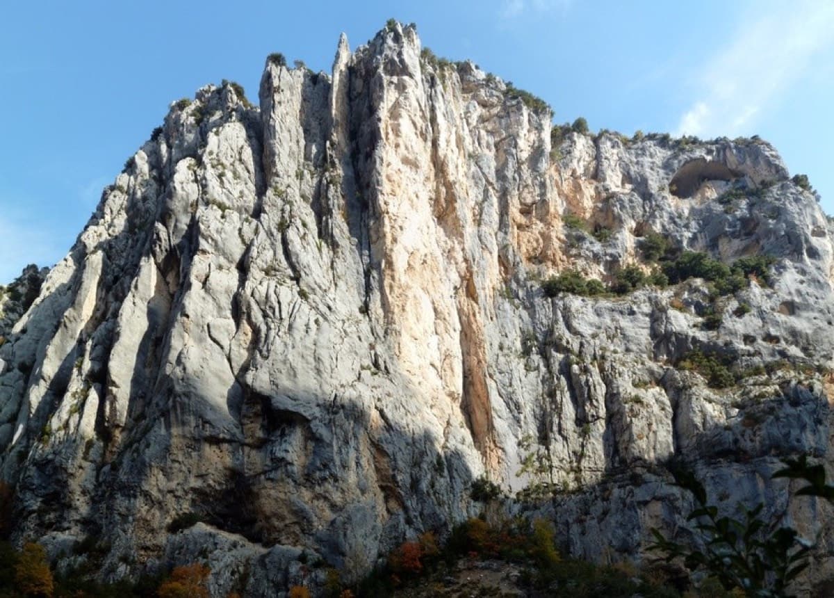
The Herbetto ridge in the Imbut sector of the Verdon, seen from the Imbut path

France · Verdon

L'Herbetto

The easiest way to climb out of the Verdon gorge: a long, wandering ridge of short pitches at grade 3 and 4 that starts close to the river and finishes near the rim road. The climbing is modest but the setting is the full Verdon. You walk down a steep path with fixed ropes to reach the start, so the route is your way back up.

4c9 pitches180 m

Read the cautions

Around 6c+ · about 7 pitches

Similar elsewhere

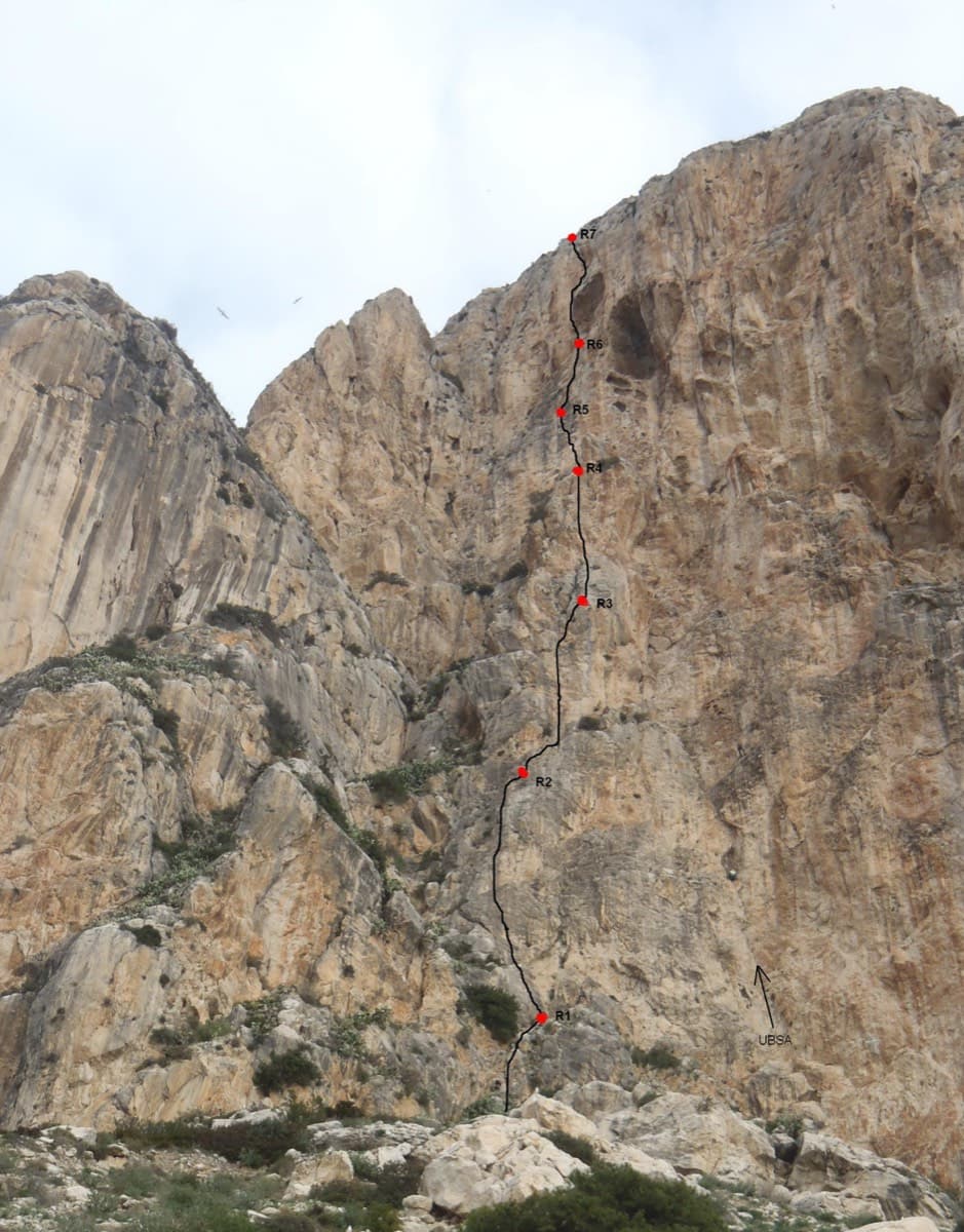
Photo-topo of Costa Blanca on the south face of the Peñón de Ifach, with belays R1 to R7 marked.

Spain · Costa Blanca (Peñón de Ifach)

Costa Blanca

The sport classic of the Peñón: a thin slab, a corner crack that steepens into an overhang, a pillar, then a wild exit from a big cave 200 m above the sea. Sustained at 6b with a 6c fifth pitch on polished slopers and a 6c+ last pitch whose crux can be pulled through on a bolt.

6c+7 pitches220 m

The stepped slabs you scramble up to reach the start ledge of El Corazón que no Siente on the Frontales wall.

Spain · El Chorro

El Corazón que no Siente

Four pitches in a row at 6b+ to 6c+ on extremely rough limestone: technical water-pocket moves that are hard to read, then an athletic pitch up easy tufas to a hard pull over an overhang. Quiet and steep, with 6b+ obligatory.

6c+7 pitches200 m

No photo yet

Croatia · Paklenica

Big Wall Speed Climbing (Tinin raz)

The line used for Paklenica's annual Big Wall Speed Climbing competition: steep, direct and on very rough rock that has stayed unpolished. A sustained 45 m 6c+ pitch on small holds is the crux, followed by sharp runnels, a big corner and three overhangs to finish. Fifteen minutes from the car.

6c+6 pitches200 m

No photo yet

Italy · Arco & Valle del Sarca

Via Roberto

Eight sustained pitches up the wall opposite the Laterna restaurant, rarely easier than 6a. The crux is a short overhanging wall on pitch 5 that can be pulled through on the bolts. Less cleaned than its neighbours, with some broken rock on pitch 6.

6c+8 pitches220 m

Compiled from published sources and last verified October 2026. Bolts, anchors and access change. Climbing is dangerous and you are responsible for your own decisions: check a current topo and read the disclaimer.