Multipitch Atlas

L'Herbetto

Imbut – Arête de l'Herbetto · Verdon · France

Read the cautionsBail with caveatsBolting confidence: medium

The easiest way to climb out of the Verdon gorge: a long, wandering ridge of short pitches at grade 3 and 4 that starts close to the river and finishes near the rim road. The climbing is modest but the setting is the full Verdon. You walk down a steep path with fixed ropes to reach the start, so the route is your way back up.

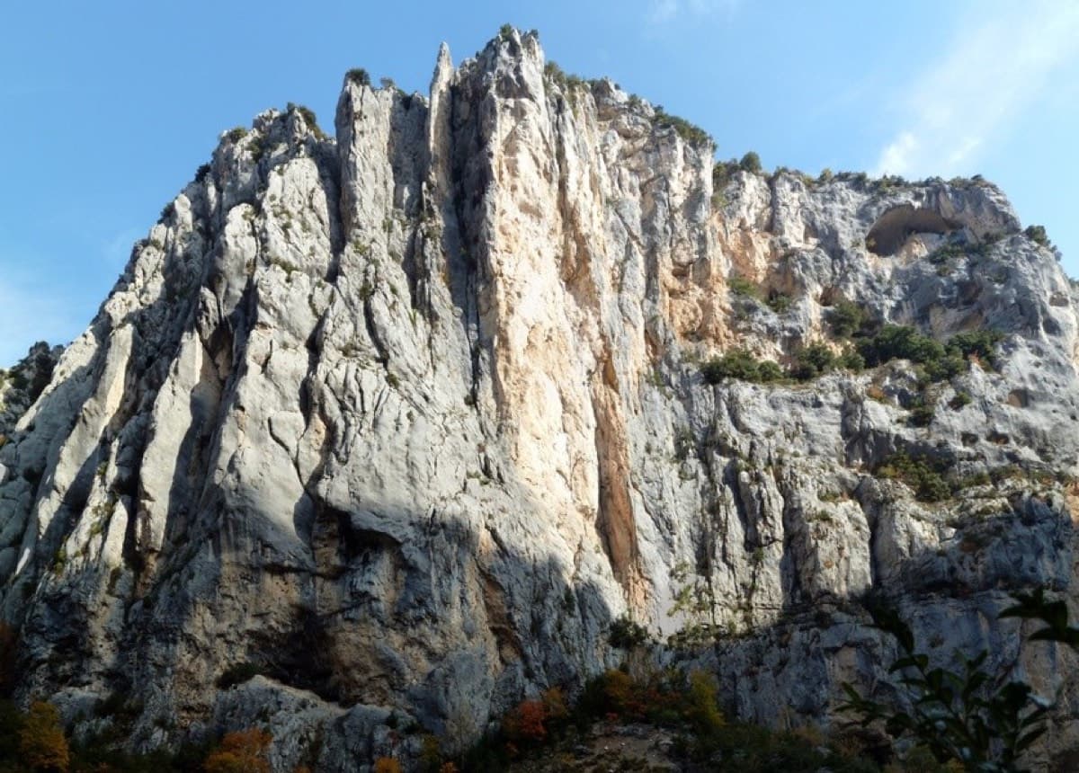
The Herbetto ridge in the Imbut sector of the Verdon, seen from the Imbut pathPhoto: Thomas C · CC BY-SA 3.0

Photo

The Herbetto ridge in the Imbut sector of the Verdon, seen from the Imbut pathPhoto: Thomas C · CC BY-SA 3.0
Hardest pitch
4c
Pitches
9
Length
180 m
Approach
45 min
Aspect
S
South-facing
Rope
Single rope
length not stated; pitches are about 30 m
Read before you go

Well bolted where it matters, but the easy upper ridge has few bolts and older sources describe tree belays low down, so carry slings.

The route

Overview

L'Herbetto follows a vegetated limestone ridge that rises from just above the river in the Imbut sector to the foot of the rim cliffs below the Maugué viewpoint. Camptocamp lists nine short pitches with nothing harder than 4b or 4c, and other topos count ten. It was first climbed in the 1970s and is now bolted, with the bolts close together low down and sparser on the easy crest. Recent parties describe it as a very easy, well-protected outing in a wild setting, often used as a first multipitch or for practising rope work. The descent path to the start is steep and adds to the day.

The climbing

Pitch by pitch

Pitches of L'Herbetto
PitchGradeNotes
P14bA crack and corner to a terrace with a dead tree. A May 2026 party warns that the dead tree at the belay looks ready to fall and could take stones with it, so avoid loading it.
P23cStart rightwards and gain the crest. On the crest do not continue up right towards a peg with a maillon: cross to the west side, go 2 or 3 m left and slightly down. The belay is about 5 m left on the level. Skip the second-to-last bolt, which only marks the way and causes rope drag.
P34aA wooded pitch that arcs left, rising slightly, then comes back right to the ridge. Extend three or four quickdraws.
P44bAlong the ridge.
P53bA first belay comes just before a terrace; use it, or continue across the terrace and belay on the wall of the next step. Take care not to knock stones into the gully on the left, which drops straight onto the foot of other routes.
P64aTo a bolt belay, or a tree 20 m higher. Just after the tree you can escape by the path with a short down-climb.
P74aEasy ridge with few bolts.
P83bEasy ridge with few bolts.
P94aEasy ridge to a final steep step with a glue-in and a bolt close together. It is easier 3 m to the right. Other topos count this step as a tenth pitch and grade it 4c to 5a.

Getting there

Approach

To the parking

From La Palud-sur-Verdon take the D23 (Route des Crêtes) towards the Chalet de la Maline and park at the Maugué viewpoint, described on camptocamp as the two-lobed belvedere; the Italian description places it about 5 km from La Palud with a small red 'imbut' painted on the wall. La Palud has campsites and other accommodation.

On foot · about 45 min

About 45 min, all downhill. From the viewpoint drop down a short scree slope on the east side, then follow a path that traverses left, nearly level, with a few red dots, to a flat spot where the Herbetto ridge joins the main cliff. This is where the route ends. A bolted handrail starts just behind it. Follow the path down past many fixed ropes to two caves separated by a rock 'staircase'. At the second cave go straight down the slope; the path then heads right towards the base of the ridge. One metre after passing the ridge, do not keep descending: climb 4 or 5 m to the start, on the north-west side of the ridge. The river is about 10 min further down.

Map of the walk-in

  • Crag
  • Parking

Loading map

The point marks the crag, not the exact start of the route.

Coordinates · crag

43.75508, 6.31893

Parking

43.75588, 6.32053

Belvédère du Maugué (camptocamp waypoint 127668)

Point from camptocamp waypoint 42373

For your phone or watch

Download GPX

Contains the route point and parking. Opens in most mapping apps and GPS watches.

Points are compiled from published sources, with the precision stated above. They were not surveyed on the ground: check them against a current topo.

Getting down

Descent

From the top of the ridge rejoin the approach path and walk back up to the Maugué viewpoint in 5 to 10 min.

Retreat

Bailing off the route

Bail with caveats

Camptocamp states that you can escape after the sixth pitch: just past the tree belay a path leads off with a short down-climb. Lower down, retreat is not documented. The line wanders across a wooded ridge with traverses, so abseiling it would be awkward, and the foot of the route is itself at the bottom of a steep path with fixed ropes.

Retreat from
Stated: after pitch 6, by the path. Below that, not documented; the belays are bolted, and the approach path runs down the gully beside the ridge (inferred from the approach description).
Point of no return
None stated. The climbing is no harder than the descent path you came down, and above pitch 6 the ridge is easy.
Carry
Slings and a few maillons if you plan to abseil from belays, since no source says the belays are rigged for it.
Basis
Part stated, part inferredThe pitch 6 escape is stated on camptocamp; everything else is inferred from the route and approach descriptions.

Partly inferred from the route facts

Safety

Hazards

  • The bolts are sparser on the easy upper pitches, and a 2026 party notes that some bolts would not stop you hitting a ledge.
  • Loose stones on the terraces: the gully left of pitch 5 drops onto the base of other routes.
  • The dead tree at the first belay was reported in May 2026 as close to falling.
  • Route finding at the end of pitch 2: a misleading bolt is visible high up, but the line goes left to the belay.
  • The approach is a steep descent path with fixed ropes; once at the bottom, the route or the same path is the way out.

Sun and weather

Conditions

South-facing at 600 to 830 m. An Italian report says the ridge takes full sun from about midday in May, and parties in late May and late August found the exit pitches and the walk out too hot. Spring and autumn are the comfortable seasons. Allow about 3 hours on the route.

Usual season · Mar to Jun, Sep to Nov

Sun on the wall · S-facing

Working out the sunlit hours for this month.

  • January: not yet worked out
  • February: not yet worked out
  • March (usual season): not yet worked out
  • April (usual season): not yet worked out
  • May (usual season): not yet worked out
  • June (usual season): not yet worked out
  • July: not yet worked out
  • August: not yet worked out
  • September (usual season): not yet worked out
  • October (usual season): not yet worked out
  • November (usual season): not yet worked out
  • December: not yet worked out

Sun on the wallDaylight, wall in shade● Usual season

Estimated from the wall's aspect only. Ignores surrounding terrain, gullies and the wall's exact shape. Clock times are local to the wall (Central European time), for the 15th of each month.

Monthly climate averages for Verdon, 1991-2020
MeasureJanFebMar (usual season)Apr (usual season)May (usual season)Jun (usual season)JulAugSep (usual season)Oct (usual season)Nov (usual season)Dec
Mean daily high °C781114182326262116118
Mean daily low °C−1−21481214141173−1
Rain days 1 mm or more778121185689108
Sunshine hours a day7.28.59.810.912.213.814.012.710.78.77.26.9

● marks the usual climbing season. Averages for 1991-2020 at about 822 m. Area climate from Open-Meteo reanalysis (about 10 km grid): the wall and valley can differ. Data: Open-Meteo, CC BY 4.0.

What to carry

Gear

About 10 quickdraws if you clip everything (6 are enough otherwise, according to a 2025 party), several of them long, plus slings to extend bolts on the wandering third pitch and for any tree belay. Camptocamp calls nuts and cams almost useless. No source states a rope length; the pitches are short, around 30 m. Helmet.

Checklist

Quickdraws
10
Rope
Single rope (length not stated; pitches are about 30 m)
Helmet
One each
Slings
Mentioned for retreat
Maillons or spare karabiners
To leave behind if you retreat

Derived from the route data; check it against a current topo

From climbers

Reader reports

Reader reports are not being collected yet. Until they are, check a current topo and the local club or guidebook publisher for recent changes to L'Herbetto.

Worth knowing

Tips

  • Do not try to link pitches: camptocamp warns that the rope drag is severe.
  • Experienced parties pitch the first four and move together on the upper ridge.
  • Start early in warm weather; the climb ends within a few minutes of the car.

Open questions

Where sources disagree

  • Pitch count: camptocamp describes 9 pitches, while gulliver.it and the printed topos give 10, counting the final steep step separately.
  • Grade: camptocamp's pitch list tops out at 4b with an overall rating of 4c; gulliver.it gives a maximum of 5a (4 obligatory) with three pitches at 4c or 4c/5a. A 2026 party found the last step to be the crux.
  • Belays: gulliver.it (text revised January 2023, visits 2017 and 2018) says the first three belays are missing or have a single bolt and that you belay on trees. Camptocamp says four belays were removed in 2016 or 2017, that everything was equipped in June 2021, and that all belays have two bolts. Reports from 2025 and 2026 call the equipment good. Camptocamp is followed, but take slings in case.
  • First ascent year: 1973 (camptocamp) or 1976 (gulliver.it).
  • Length: 180 m of height gain (camptocamp) against 280 m of climbing (gulliver.it).

Provenance

Sources

Same area

More in Verdon

All routes in Verdon
Overview of the Malines cliff, Verdon

France · Verdon

Golondrina

A modern (2019) line up a staircase of limestone pillars above the Chalet de la Maline, with short walking links between them. Harder than its old 6a grade suggests: recent parties report obligatory 6a+/6b moves on the first three pitches, and the last pitch is 6b+ or A0.

6b+10 pitches300 m

Read the cautions
Pitch 4 (6a+) of Dans les Yeux d'Hervé: compact grey Verdon limestone

France · Verdon

Dans les Yeux d'Hervé

Seven pitches of compact grey water-pocketed wall high above the mouth of the Verdon gorge, with a view over the Lac de Sainte-Croix. It zigzags a great deal, so both leader and second need to be happy on traverses. A short, bouldery 6c+ bulge (6a/A0) is the only move above 6b+, and the final pillar pitch is the highlight.

6c+7 pitches160 m

Committing

Around 4c · about 9 pitches

Similar elsewhere

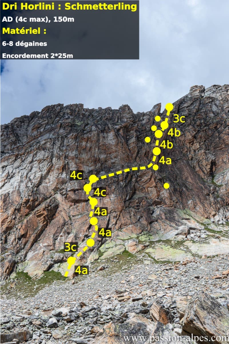
Photo-topo of Schmetterling on the Dri Horlini with belays and pitch grades

Switzerland · Saas Valley

Schmetterling

Ten short pitches of grade 4 on superb red-brown gneiss at 2900 m, ten minutes from the Almagellerhütte. Steep little slabs with good holds, closely bolted, and often climbed in mountain boots. An ideal first high-mountain multipitch or an afternoon route after the walk up to the hut.

4c10 pitches150 m

No photo yet

Italy · Bolzano & South Tyrol

Sonntagsspaziergang

The easy classic of the Noafer Bichl: slabs, a neat corner and two pitches up a pocketed pillar edge, with Bolzano below and the Dolomites on the horizon. Grade 4 climbing throughout, but with some long gaps between bolts on the easy ground.

4c7 pitches280 m

Read the cautions

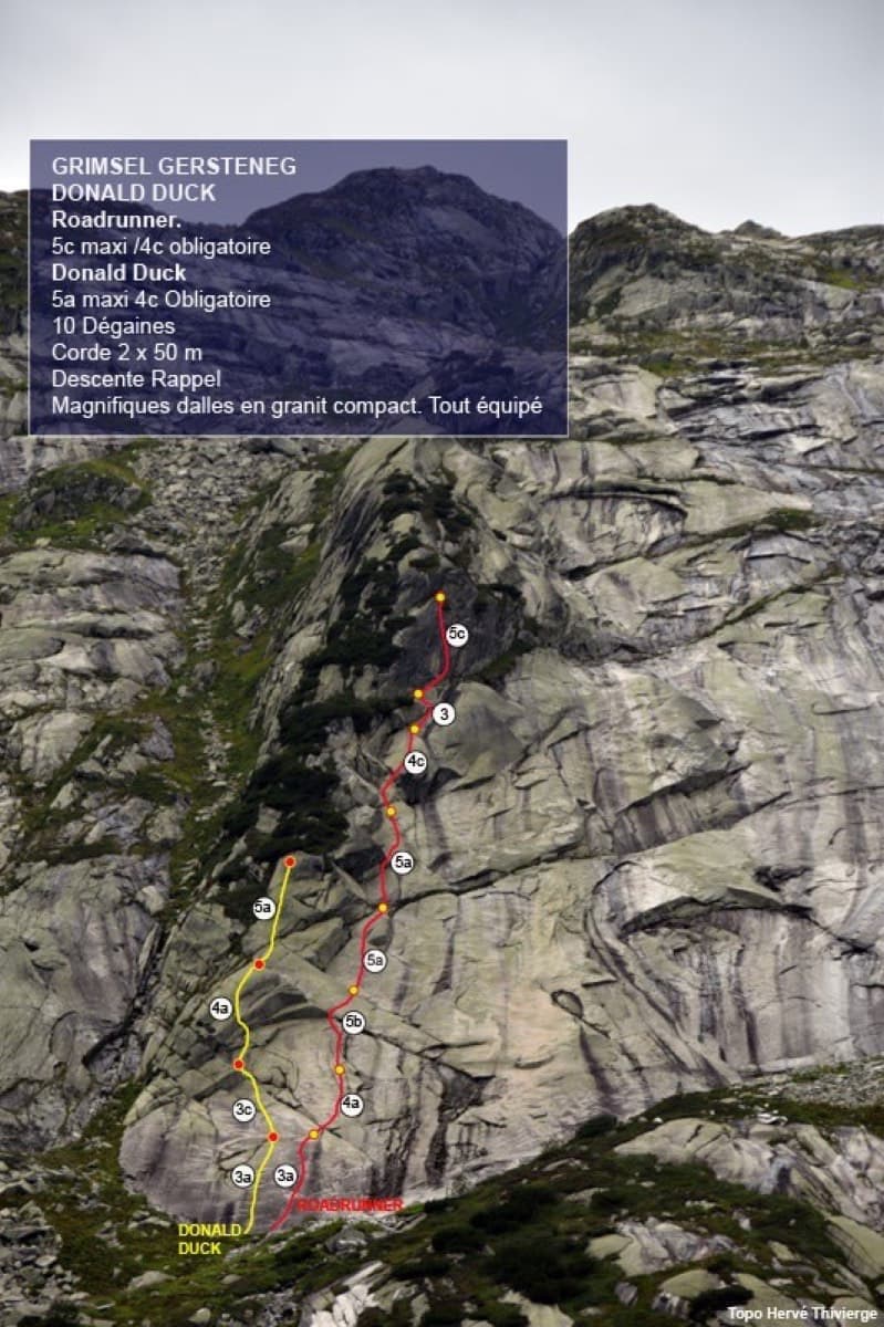
Photo-topo of the Donald Duck slab at Gerstenegg with Roadrunner (red) and Donald Duck (yellow)

Switzerland · Grimsel

Roadrunner

Seven pitches of smooth, low-angle Grimsel granite, almost all pure friction, with two short steeper steps. Technically easy, but you have to trust your feet. A gentle introduction to Grimsel slab and to multipitch rope work.

4c7 pitches200 m

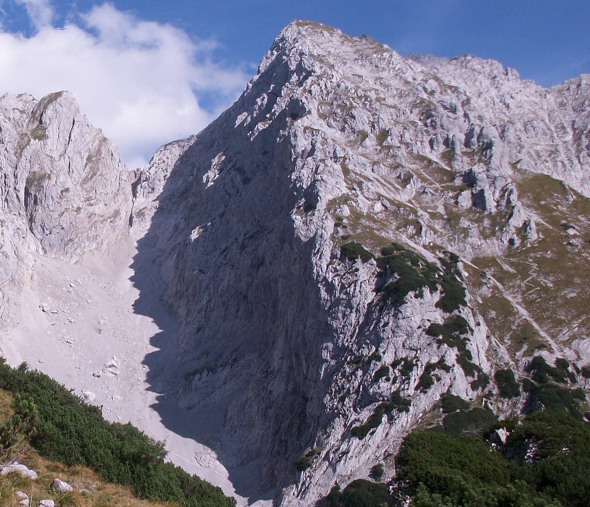
The Schneekar and the north side of the Treffauer, where the route climbs the lower rocks beside the normal route

Austria · Wilder Kaiser

König der Löwen

Nine pitches of easy slabs and water runnels beside the Treffauer normal route, UIAA 5 at most if you take the easy variant on pitch 4. Lots of bolts and friendly ground make it one of the most popular routes in the Schneekar. The rock is not solid everywhere and the walk-in is two hours.

5a9 pitches280 m

Compiled from published sources and last verified October 2026. Bolts, anchors and access change. Climbing is dangerous and you are responsible for your own decisions: check a current topo and read the disclaimer.