Multipitch Atlas

Highway

Brüggler – south face · Glarus (Brüggler) · Switzerland

Read the cautionsBail with caveatsBolting confidence: medium

Seven homogeneous pitches of grade 5 up the middle of the Brüggler's big limestone slab, much of it on water runnels, finishing among the pines near the summit cross. Never hard, but it climbs all the way and the bolts are not close. Best if you are solid at 5c.

The south face of the Brüggler above the SchwänditalPhoto: Kati · CC BY-SA 3.0

Photo

The south face of the Brüggler above the SchwänditalPhoto: Kati · CC BY-SA 3.0
Hardest pitch
5b
Pitches
7
Length
200 m
Approach
60 min
Aspect
S
South-facing
Rope
Not stated in sources
single rope with a walk-off
Read before you go

Fully bolted, but the bolts are spaced on grade 5 ground and parties short on margin have retreated or added a cam.

The route

Overview

Highway climbs the centre of the Brüggler's south face, a limestone slab scattered with pines above the Schwändital in Glarus. It is seven pitches of 4c to 5b, largely on water-worn runnels, and tops out about 200 m right of the summit cross. The grade is consistent and the climbing never lets up, so it suits climbers with a margin at grade 5. The bolting is rated good by camptocamp, but several parties found the bolts far apart on the 5a pitches; treat it as a route where you climb between bolts, not a clip-up. It features in the Plaisir Selection guidebook and is popular.

The climbing

Pitch by pitch

Pitches of Highway
PitchGradeNotes
P15aA short vertical wall, then move slightly left. Do not follow the line of bolts going straight up, marked with a red dot. Reported as very polished.
P25aA short pitch straight up on runnels. A 2020 party found the bolts too far apart here and retreated.
P35bA long, fine pitch on runnels, easier in its second half. Watch for rope drag. The best pitch.
P44cA slightly thin traverse right, then up the corner.
P55aStraight up on runnels. One move on each of the last three pitches is reported as nearer 5c.
P65aA steeper little wall to start, then straight up among the pines. You reach a first belay; continue to the ledge 5 m higher on the left for a second, more comfortable one, which also leaves enough rope for the last pitch.
P75aThe last pitch, still among the trees. The exit is not obvious: a 2024 party finished up the neighbouring Direkte Plattenwand instead.

Getting there

Approach

To the parking

The Brüggler stands above the Schwändital, reached by road from Näfels in canton Glarus. Park at the pay car park in the valley (5 to 6 CHF a day in 2018 to 2024, paid in cash in an envelope); it has toilets and a covered area, and you can sleep or camp there for a further fee (10 CHF per vehicle and 4 CHF per person reported in 2024).

On foot · about 60 min

From the car park follow the vehicle track, which is closed to traffic. At the second farm (Stattboden, 1448 m) take the path that climbs along the western edge of the forest to the foot of the big corner directly below the Brüggler summit. The start is roughly in the middle of the big slabs: the route name is painted on the rock with a blue arrow. About 350 m of ascent and 1 hour.

Finding the route · 2 photos

Approach photo

Map of the walk-in

  • Crag
  • GPS line

Loading map

The point marks the crag, not the exact start of the route.

GPS line: one party's recorded GPS track of the whole day, including the climb and the descent. One party's recorded day on 18 July 2024 from the Schwändital car park: walk-in, climb and walk-off (about 10.7 km in all). Thinned from 641 to 300 points. Do not follow it blindly.

GPS line: Vincent Stern, Céline Stern-Kiener · CC BY-NC-ND 3.0

Coordinates · crag

47.11750, 8.98379

Point from camptocamp waypoint 42475

For your phone or watch

Download GPX

Contains the route point and a GPS line. Opens in most mapping apps and GPS watches.

Points are compiled from published sources, with the precision stated above. They were not surveyed on the ground: check them against a current topo.

Getting down

Descent

Walk off. From the exit go to the summit cross, descend the path west for about 200 m, cross the ridge heading south then east, and rejoin the approach path in about 15 minutes. At the col between the two summits keep following the path; a party that left it there ended up descending steep grass.

Retreat

Bailing off the route

Bail with caveats

You can abseil the route from as high as the fifth belay; above that the ropes are likely to snag in the pines, so from there it is better to finish. A 2020 party retreated from the start of pitch 2 by abseiling off the bolted first belay without difficulty.

Retreat from
Belays 1 to 5.
Point of no return
The fifth belay: above it, climbing out is the practical option (two pitches of 5a remain).
Carry
Rope length for abseils is not documented; pitch 3 is long, so take two ropes if you want the option. Maillons in case a belay is not rigged for abseiling.
Basis
Part stated, part inferredCamptocamp states abseiling is possible to the fifth belay and one trip report describes a retreat from the first; rope requirements are inferred.

Partly inferred from the route facts

Safety

Hazards

  • Spaced bolts in grade 5 terrain. On the 5a pitches near the top the hard move comes well above the bolt, according to a 2018 party, and a 2020 party backed off pitch 2.
  • The first pitch is polished.
  • Do not follow the red-dotted bolt line straight above the start; Highway moves left.
  • Abseiling from above the fifth belay risks jamming the ropes in the pines.

Sun and weather

Conditions

South facing between about 1550 and 1777 m. In late May 2018 everything was dry and the approach and descent were clear of snow. It is hot in summer sun; parties were glad of a breeze. A few water streaks can remain after rain.

Usual season · May to Oct

Sun on the wall · S-facing

Working out the sunlit hours for this month.

  • January: not yet worked out
  • February: not yet worked out
  • March: not yet worked out
  • April: not yet worked out
  • May (usual season): not yet worked out
  • June (usual season): not yet worked out
  • July (usual season): not yet worked out
  • August (usual season): not yet worked out
  • September (usual season): not yet worked out
  • October (usual season): not yet worked out
  • November: not yet worked out
  • December: not yet worked out

Sun on the wallDaylight, wall in shade● Usual season

Estimated from the wall's aspect only. Ignores surrounding terrain, gullies and the wall's exact shape. Clock times are local to the wall (Central European time), for the 15th of each month.

Climate figures for Glarus (Brüggler) are not available yet

What to carry

Gear

Quickdraws for bolted pitches up to a full rope length; no source gives a number or a rope length. Helmet. Camptocamp lists no trad gear, but a 2024 party placed one cam on pitch 6, and anyone at their limit at 5a may want a couple of small to medium cams.

Checklist

Quickdraws
Number not given in the sources
Rope
Not stated in sources; single rope with a walk-off
Helmet
One each
Maillons or spare karabiners
To leave behind if you retreat

Derived from the route data; check it against a current topo

From climbers

Reader reports

Reader reports are not being collected yet. Until they are, check a current topo and the local club or guidebook publisher for recent changes to Highway.

Worth knowing

Tips

  • Allow 3 to 3.5 hours for the climb.
  • Be comfortable at grade 5 with some margin; this is not a route for a first 5a lead.
  • Winteregg, passed on the way down, has self-service cold drinks.

Open questions

Where sources disagree

  • Bolting: camptocamp rates the route P1+ and 'well equipped'; trip reports from 2018 and 2020 describe the bolts as far apart on the 5a pitches, and one party retreated.
  • Grades: the last three pitches are given 5a, but a 2018 party felt each has a move of about 5c.
  • Approach time: about 1 hour on camptocamp; a general page on the valley quotes 45 minutes.
  • Wall height: 200 m of climbing on camptocamp; SummitPost describes the face as about 300 m.

Provenance

Sources

Around 5b · about 7 pitches

Similar elsewhere

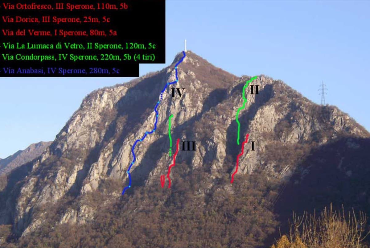
The spurs of the Zucco dell'Angelone above Barzio with route lines marked; Condorpass is on the fourth spur (IV)

Italy · Lecco & Valsassina

Condorpass

The first route opened on the Zucco dell'Angelone, following the natural line of the fourth spur by corners, cracks, a chimney and friction slabs. Eight varied pitches at 5a to 5b with an easy crest to finish. Never hard but never trivial either.

5b8 pitches220 m
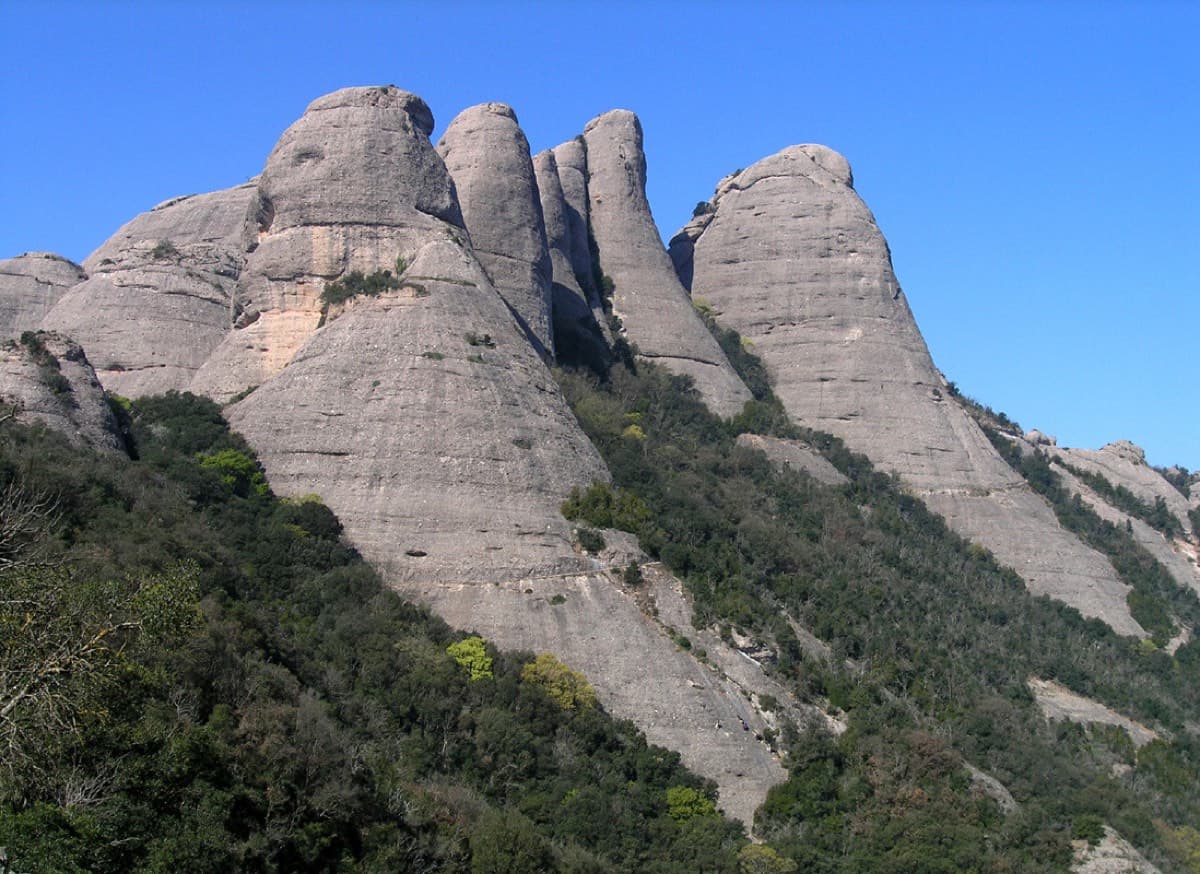
Gorra Marinera, the Magdalenes, Gorra Frígia and Trencabarrals, Montserrat

Spain · Montserrat

Via Sargantanes

A popular first Montserrat multipitch close to the monastery. Steep pebble walls at 5b are split by easy slabs, finishing on an airy summit cap.

5b6 pitches145 m

Read the cautions

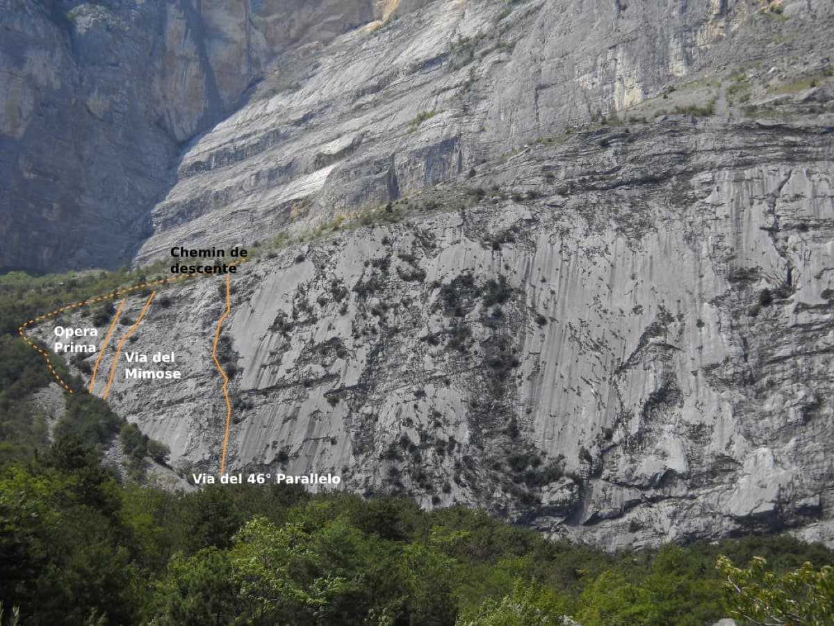
The Parete Zebrata (Placche Zebrate) above Dro, with the lines of three other routes at its left end marked

Italy · Arco & Valle del Sarca

Man-Ilia

An easy, relaxing sport route on low-angle Zebrate slabs, trending left to right to join Cane Trippa at the fifth belay. It's an excellent first multipitch. Gulliver gives UIAA III / II–III / IV / IV–IV+ for the first four pitches, converted here.

5b6 pitches240 m

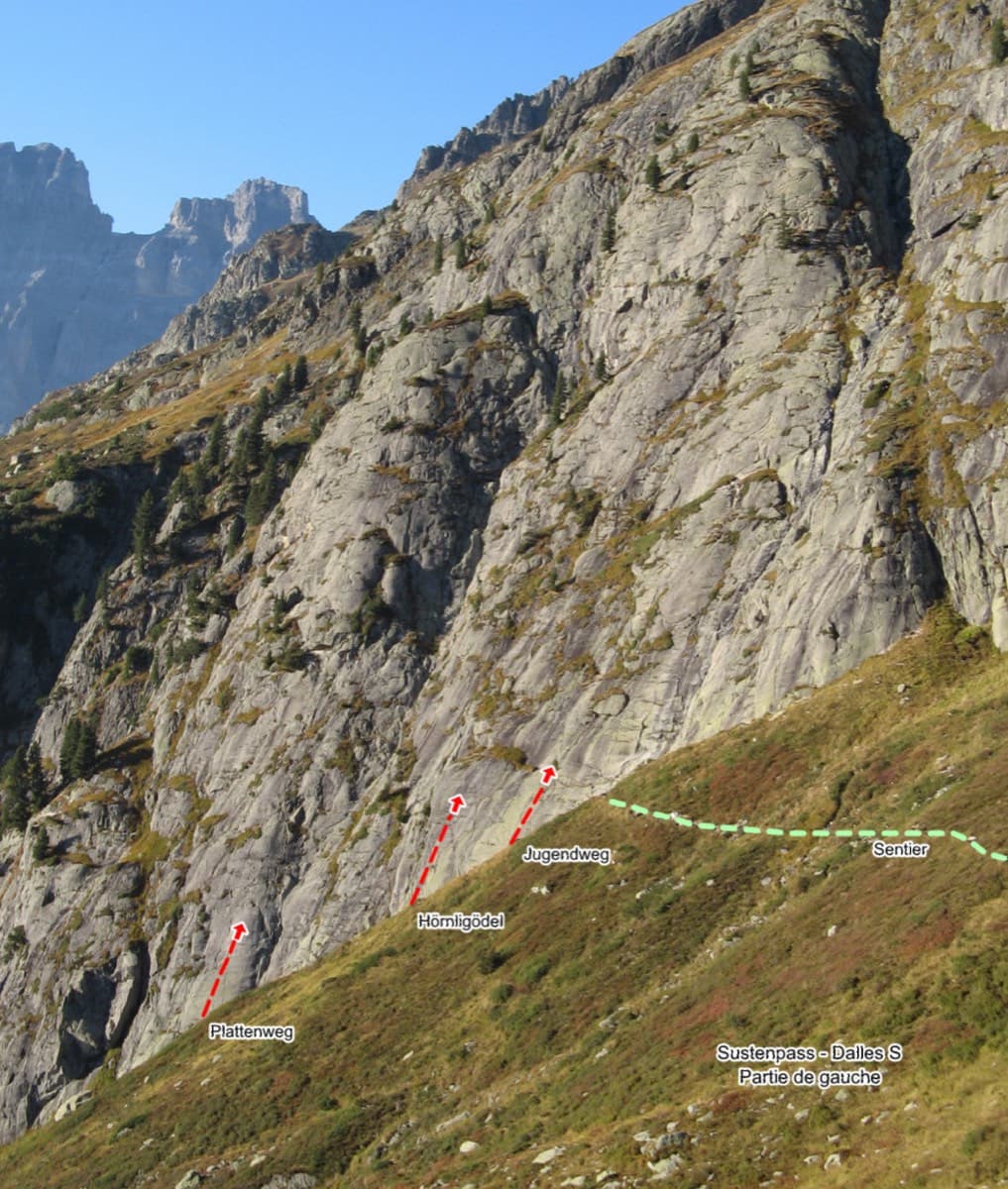
Sustenpass south slabs, left part, with the start of Plattenweg marked

Switzerland · Susten

Plattenweg

Relaxed, low-angle granite slab climbing on small edges, 15 minutes from the Sustenpass road. It makes an ideal first alpine-granite multipitch.

5b+7 pitches200 m

Compiled from published sources and last verified October 2026. Bolts, anchors and access change. Climbing is dangerous and you are responsible for your own decisions: check a current topo and read the disclaimer.