Multipitch Atlas

Via Sargantanes

Gorra Marinera (Gorros) · Montserrat · Spain

Read the cautionsEasy to bailBolting confidence: high

A popular first Montserrat multipitch close to the monastery. Steep pebble walls at 5b are split by easy slabs, finishing on an airy summit cap.

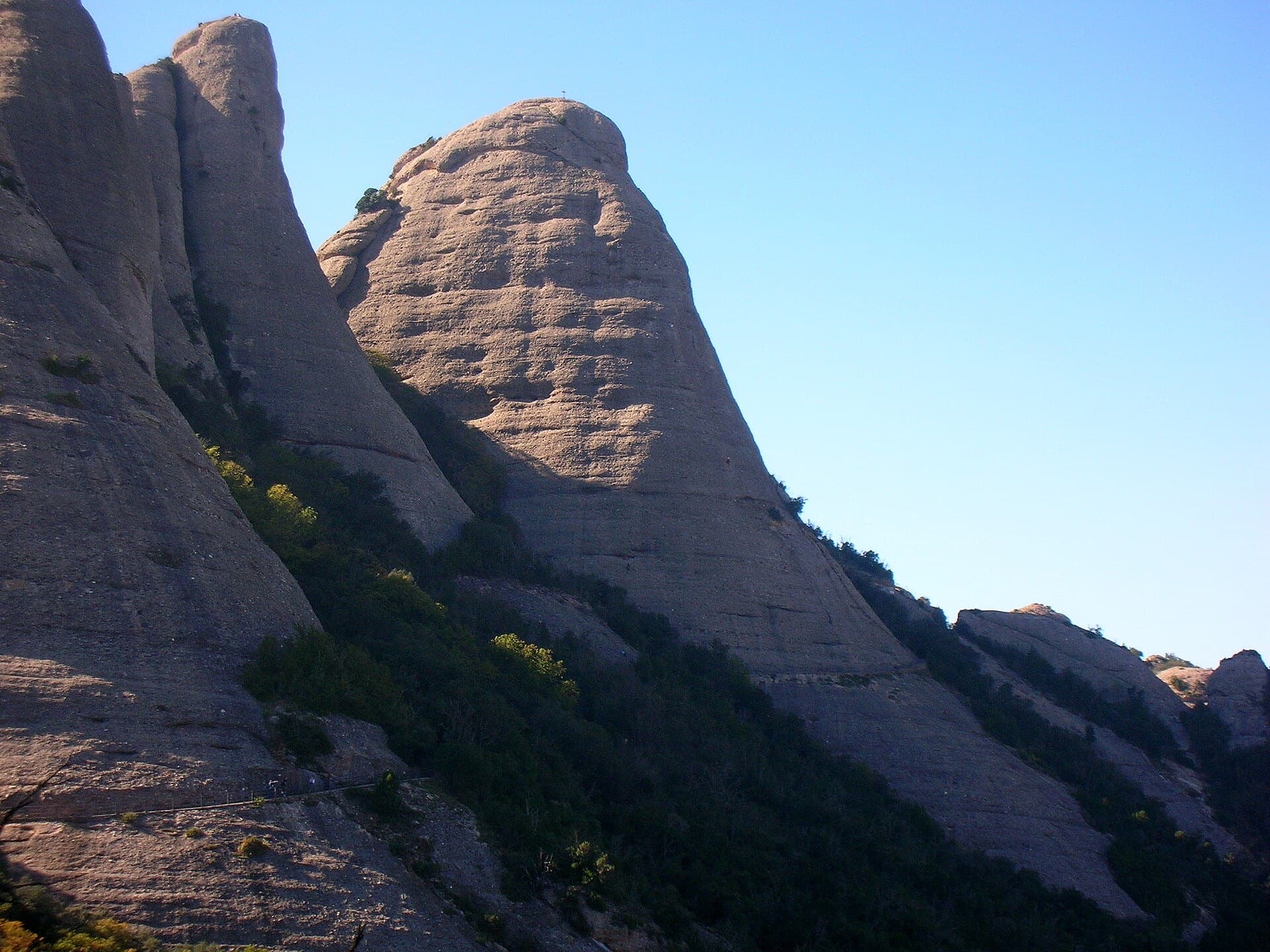
The Gorros of Montserrat from the monastery side: left to right the Gorra Marinera, the Magdalenes and the Gorra Frígia. Via Sargantanes climbs the Gorra Marinera, the left-hand tower.Photo: Townie · CC BY-SA 3.0

Photo

The Gorros of Montserrat from the monastery side: left to right the Gorra Marinera, the Magdalenes and the Gorra Frígia. Via Sargantanes climbs the Gorra Marinera, the left-hand tower.Photo: Townie · CC BY-SA 3.0
Hardest pitch
5b
Pitches
6
Length
145 m
Approach
5 min
Aspect
E
East-facing
Rope
1×50 m
Read before you go

Fully bolted with no need for cams, but pitch 5 is spaced with an old bolt and an exposed passage, two belays are on unlinked bolts, and the abseil jams if done in one length.

The route

Overview

Via Sargantanes climbs the east face of the Gorra Marinera, one of the Gorros towers directly above Montserrat monastery, in six short pitches. Steep pebble walls of about 5b on pitches 1, 2 and 5 are separated by easy slabs. The lower half is well bolted. Pitch 5 is steeper, airier and noticeably more spaced, with at least one very old bolt, though it can be avoided on the left. The route crosses several others, so following the right line takes attention.

In pictures

Photos

Approach photo

The climbing

Pitch by pitch

Pitches of Via Sargantanes
PitchGradeLengthBoltsNotes
P15b20 m8 boltsStraight up a steep wall, with two close bolts at the start, to a belay on two unlinked bolts between two abseil stations, left of a pale streak. The blog grades it V and warns that two belays here are easily confused.
P25b25 m11 boltsUp and right, then a steep wall on good holds to a chained belay. The blog (grade IV) says the bolts sit slightly left of the best line.
P34b20 m5 boltsStraight up an easy wall, aiming right of a tree, to a belay on two unlinked bolts on the right. You are near the ruins of the Sant Jaume hermitage, a possible exit.
P43b40 m2 boltsEasy-angled slabs. Cross the grassy path (another possible exit) to a belay at the top of a horizontal break.
P55b30 m7 boltsStraight up a steep wall with spaced bolts, including one very old one, to a small ledge. Continue up the steep wall above (an exposed passage) to a wider ledge and follow it left to the belay. You can avoid the last wall by following the first ledge left and then climbing up to the belay. The blog calls this the best pitch (IV+).
P63b20 m2 boltsEasy slabs on more fragile rock to the summit belay on two glue-in bolts set in the ground.

Getting there

Approach

To the parking

Montserrat monastery. Camptocamp suggests parking just above the hairpin at the monastery toll, which it describes as free. The Sant Joan funicular from the monastery puts you about 5 minutes from the route.

On foot · about 5 min

With the funicular: from the top station follow the path towards Sant Jeroni for about 5 minutes; the cliff of the Gorra Marinera rises straight from the path. On foot from the monastery: climb the stairs to the Plaça de Santa Anna, leave the GR4, continue straight and take the PR C-19 on the left. When you pass below an obvious slab under the Gorra Marinera, take a steep track right through the forest to the Sant Jeroni path at the foot of the tower. The route starts just left of a distinctive cave (balma); you can also start up one of the single-pitch lines to its left.

Finding the route · 1 photo

Approach photo

Map of the walk-in

  • Crag

Loading map

The point marks the crag, not the exact start of the route.

Coordinates · crag

41.58888, 1.82868

Point from camptocamp waypoint 1501720

For your phone or watch

Download GPX

Contains the route point. Opens in most mapping apps and GPS watches.

Points are compiled from published sources, with the precision stated above. They were not surveyed on the ground: check them against a current topo.

Getting down

Descent

Go to the far side of the summit from where the route arrives to find the abseil station. A 2023 party reached it on foot by descending between two junipers and then trending right, with two bolts to protect the way. Abseil in two steps of about 25 m to the Escales de Jacob (Jacob's stairs), in the gap between the Gorra Marinera and the Magdalena Inferior, then go down the stairs to the right to regain the path. Do not do it as a single abseil: the rope jams. The same 2023 report puts the full drop at 40 m and mentions a brand-new intermediate anchor under a steep wall 10 m below the chain. About 25 minutes back to the monastery on foot via Santa Anna.

Retreat

Bailing off the route

Easy to bail

Yes. The route crosses the hermitage terraces and a grassy path after pitches 3 and 4, and you can walk off at either. Lower down, R1 sits between two abseil stations and R2 is chained, with pitches of only 20 to 25 m. Above the path you are two pitches from the top.

Retreat from
R1 (use one of the abseil stations beside it; the belay itself is two unlinked bolts), R2 (chained), then on foot from R3 by the ruins of the Sant Jaume hermitage or from the grassy path crossed on pitch 4.
Point of no return
Pitch 5. Once on its steep, spaced wall the practical way off is the summit and the abseil to the Escales de Jacob. Parts of it can be avoided by the ledge on the left.
Carry
1×50 m covers the 20 to 25 m pitches. Slings and a maillon or two for the unlinked bolts at R1 and R3.
Basis
Part stated, part inferredCamptocamp and trip reports state the exits after pitches 3 and 4, the abseil stations beside R1 and the chained R2; that these make a workable retreat on one rope is inferred from the pitch lengths.

Partly inferred from the route facts

Safety

Hazards

  • Pitch 5 has spaced protection, at least one bolt described in 2022 as past its age, and an exposed passage on the upper wall. It can be bypassed by the ledge on the left; a 2022 report also mentions a bolted 4c line to the left that avoids the top.
  • Do not abseil from the summit station in one 50 m rappel. A 2022 party did, the rope jammed from friction, and they had to climb back up the rope to the intermediate station.
  • R1 and R3 are on two bolts that are not linked.
  • The route crosses and shares ground with other lines (Pel Davant among them). The blog says the correct line is hard to identify and that on pitch 2 the bolts are left of the natural line.
  • The rock on pitch 6 is more fragile.

Sun and weather

Conditions

East-facing (camptocamp), so expect morning sun. A July party found it comfortable with a breeze; a February party was caught by damp mist. Pure climbing time is about 1 h 30 to 2 h.

Usual season · Mar to Jun, Sep to Nov

Sun on the wall · E-facing

Working out the sunlit hours for this month.

  • January: not yet worked out
  • February: not yet worked out
  • March (usual season): not yet worked out
  • April (usual season): not yet worked out
  • May (usual season): not yet worked out
  • June (usual season): not yet worked out
  • July: not yet worked out
  • August: not yet worked out
  • September (usual season): not yet worked out
  • October (usual season): not yet worked out
  • November (usual season): not yet worked out
  • December: not yet worked out

Sun on the wallDaylight, wall in shade● Usual season

Estimated from the wall's aspect only. Ignores surrounding terrain, gullies and the wall's exact shape. Clock times are local to the wall (Central European time), for the 15th of each month.

Monthly climate averages for Montserrat, 1991-2020
MeasureJanFebMar (usual season)Apr (usual season)May (usual season)Jun (usual season)JulAugSep (usual season)Oct (usual season)Nov (usual season)Dec
Mean daily high °C681113172124231915107
Mean daily low °C−3−30361013141071−2
Rain days 1 mm or more667109779121076

● marks the usual climbing season. Averages for 1991-2020 at about 1072 m. Area climate from Open-Meteo reanalysis. Temperatures are adjusted to the height of the crag; rain comes from a grid cell of about 10 to 25 km, and summer highs on sea cliffs can read a few degrees low. The wall and valley can differ. Data: Open-Meteo, CC BY 4.0.

What to carry

Gear

Camptocamp: abseil rope, 12 quickdraws, cams useless. Pitch 2 has 11 bolts. Take slings to link the unconnected belay bolts at R1 and R3. The blog party used 2×50 m ropes and 7 quickdraws.

Checklist

Quickdraws
12
Rope
1×50 m
Helmet
One each
Abseil device and prusik
The descent or the retreat involves abseiling
Slings
Mentioned for retreat
Maillons or spare karabiners
To leave behind if you retreat

Derived from the route data; check it against a current topo

From climbers

Reader reports

Reader reports are not being collected yet. Until they are, check a current topo and the local club or guidebook publisher for recent changes to Via Sargantanes.

Worth knowing

Tips

  • Pitches 3 and 4 can be linked with a little simul-climbing (2023 report).
  • You can walk off after pitch 3 or 4, where the route meets the hermitage terraces and the grassy path.
  • A 2023 party took the right-hand variant on pitch 2 and went left then straight up on pitch 5.
  • A good first Montserrat multipitch if the leader is steady on pitch 5; otherwise take the left-hand bypass.

Open questions

Where sources disagree

  • Grades: camptocamp gives 5b, 5b, 4b, 3b, 5b, 3b. The blog gives V, IV, III+, III, IV+, IV-, so easier overall but with a harder last pitch.
  • Bolt counts: camptocamp 8, 11, 5, 2, 7, 2; the blog 5, 6, 5 and 6 on pitches 1, 2, 3 and 5. The parties may have followed different variants.
  • Descent: camptocamp says two abseils of 25 m; a 2023 report says 40 m in total with an intermediate anchor; the 2011 blog says a single 18 m abseil from a lower terrace. All end at the Escales de Jacob.
  • Length: 145 m (camptocamp) against 160 m stated in the blog.
  • The blog found the last pitch steep and well protected; camptocamp describes easy slabs on fragile rock with two bolts. They may describe different finishes.
  • Camptocamp rates the equipment P1 and calls the route very well equipped, while its own text and both trip reports single out pitch 5 as spaced.

Provenance

Sources

Same area

More in Montserrat

All routes in Montserrat
West side of the Gorros sector, Montserrat

Spain · Montserrat

Integral d'en Pitu i la Nuri

A modern linkup over two pinnacles on excellent conglomerate. Overhanging 6a and 6a+ walls alternate with easy 'potato-field' slabs. The new bolting makes it one of the most reassuring long lines in the massif.

6a+5 pitches185 m
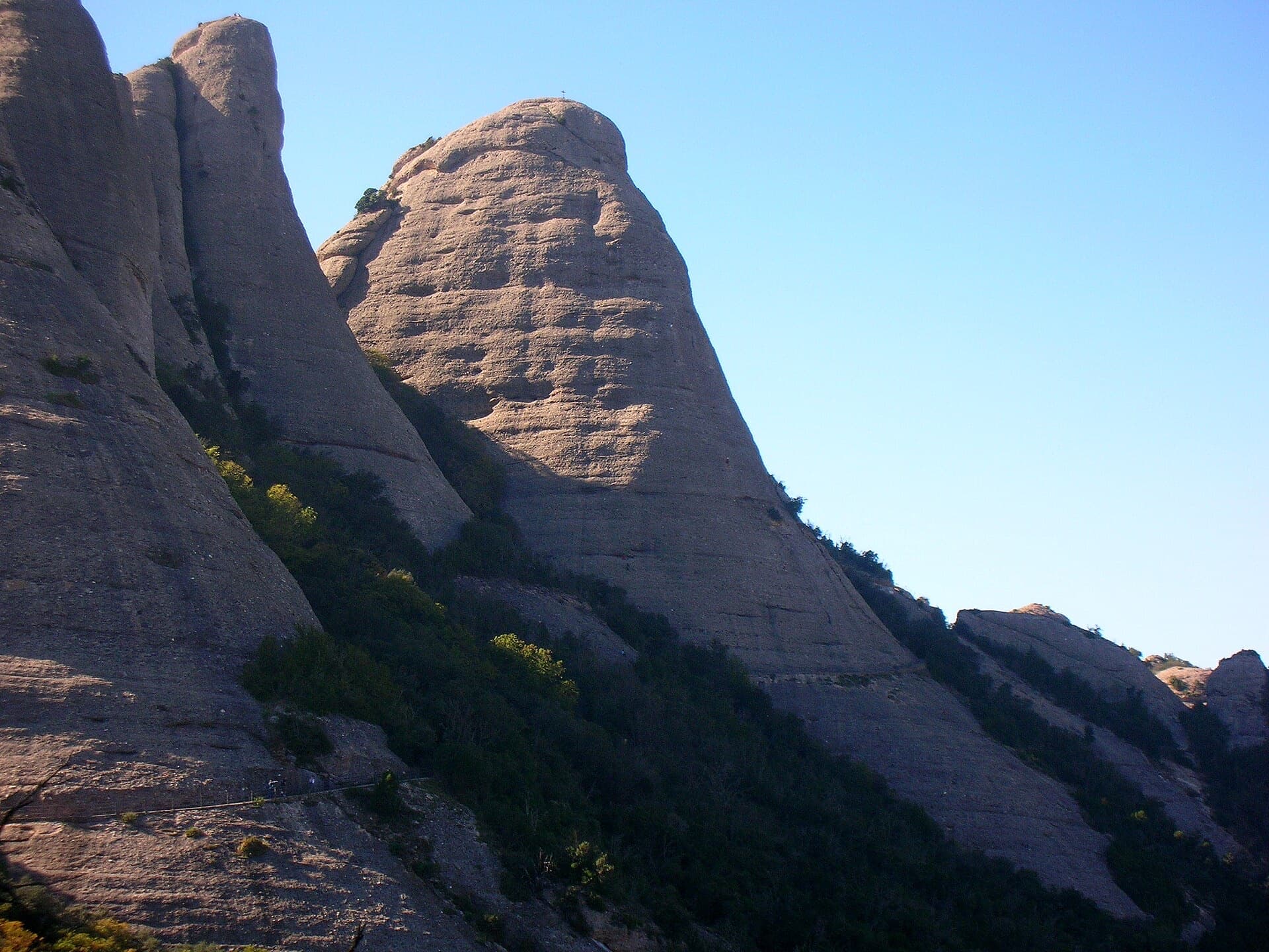
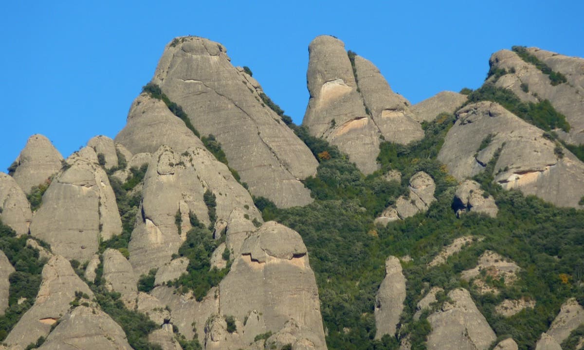
The Gorra Frígia, the Phrygian-cap tower of the Gorros, seen from the Camí Nou de Sant Jeroni, which passes the foot of its north-east side where Via del Carles starts. The line itself is not marked.

Spain · Montserrat

Via del Carles

A straightforward line up the 'Phrygian cap' visible from the monastery. Only the short vertical step on pitch 3 is sustained. It is a good route for learning Montserrat pebble technique and has a summit cross with a big view. The approach takes about 10 min from the Sant Joan funicular top.

5c5 pitches140 m

The Gorra Frígia seen from the Camí Nou de Sant Jeroni on the northern side of the Gorros, Montserrat. Via Stromberg climbs the north face; the line is not marked.

Spain · Montserrat

Via Stromberg

A shady north-face outing that suits warm days. Steady 5c pebble climbing leads to a short overhang crux (6a, or 5c/A0) and the summit cross.

6a4 pitches120 m

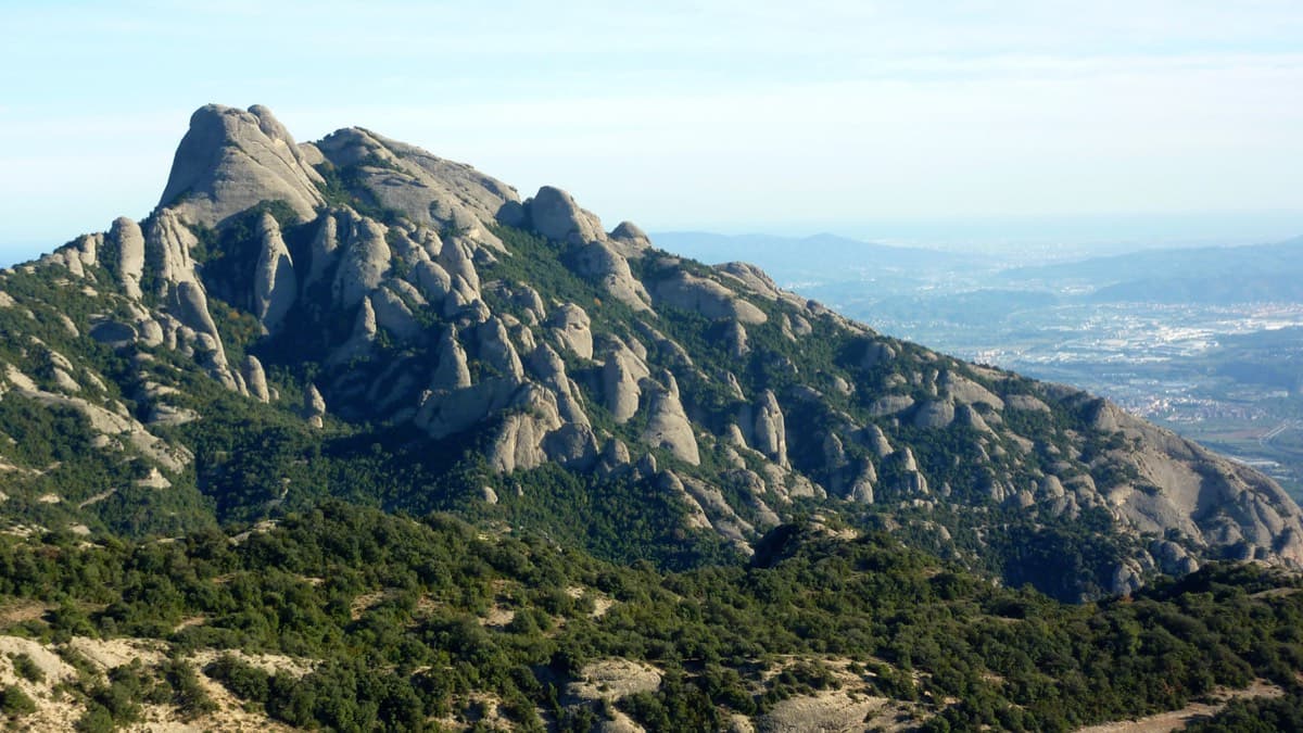
Gorra Frígia and Magdalena Superior seen from the south-west, Montserrat

Spain · Montserrat

98 Octanos

An exposed, airy line with unusually good holes and jugs for Montserrat, shaded in the afternoon. The 6a pitch is a sustained vertical 20 m. Going straight up instead of following the line is closer to 6b+.

6a4 pitches140 m

Around 5b · about 6 pitches

Similar elsewhere

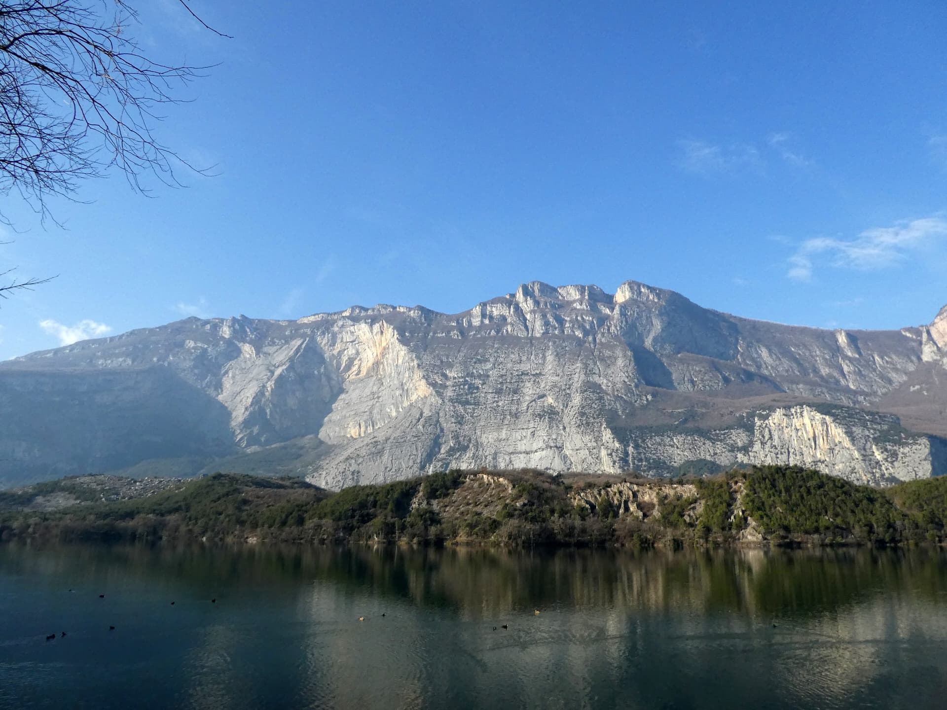
The east face of Monte Brento rising above Lago di Cavedine and the Marocche boulder field. The Placche Zebrate are the pale slab apron at the foot of the wall; the route's line is not marked.

Italy · Arco & Valle del Sarca

Man-Ilia

An easy, relaxing sport route on low-angle Zebrate slabs, trending left to right to join Cane Trippa at the fifth belay. It's an excellent first multipitch. Gulliver gives UIAA III / II–III / IV / IV–IV+ for the first four pitches, converted here.

5b6 pitches240 m

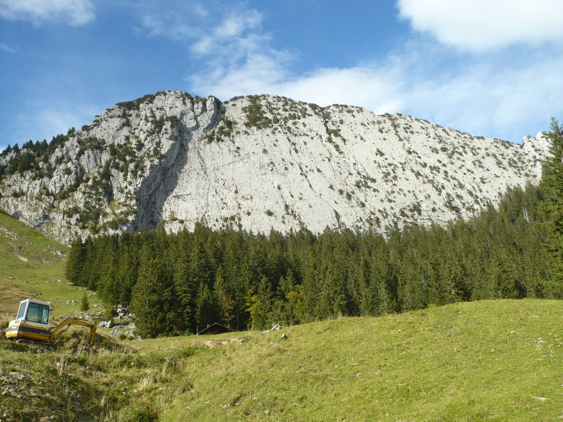
The slabby south face of the Brüggler above the pastures of the Schwändital.

Switzerland · Glarus (Brüggler)

Highway

Seven homogeneous pitches of grade 5 up the middle of the Brüggler's big limestone slab, much of it on water runnels, finishing among the pines near the summit cross. Never hard, but it climbs all the way and the bolts are not close. Best if you are solid at 5c.

5b7 pitches200 m

Read the cautions

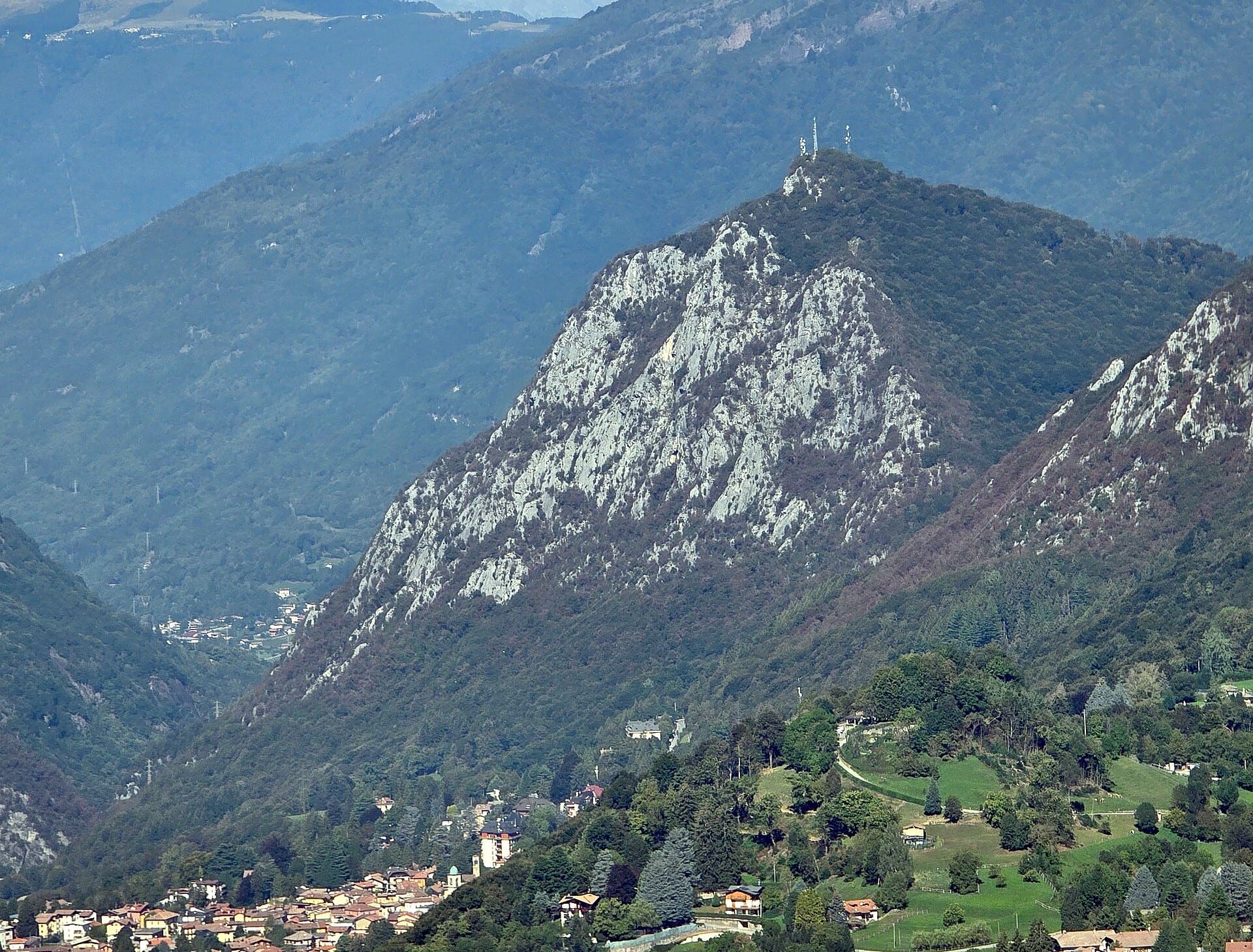
The south side of the Zucco dell'Angelone above Barzio, seen from the Zucco della Croce: the pale limestone spurs (speroni) that hold the multipitch routes run down from the antenna-topped summit. Condorpass is on the fourth spur; individual spurs are not labelled here.

Italy · Lecco & Valsassina

Condorpass

The first route opened on the Zucco dell'Angelone, following the natural line of the fourth spur by corners, cracks, a chimney and friction slabs. Eight varied pitches at 5a to 5b with an easy crest to finish. Never hard but never trivial either.

5b8 pitches220 m

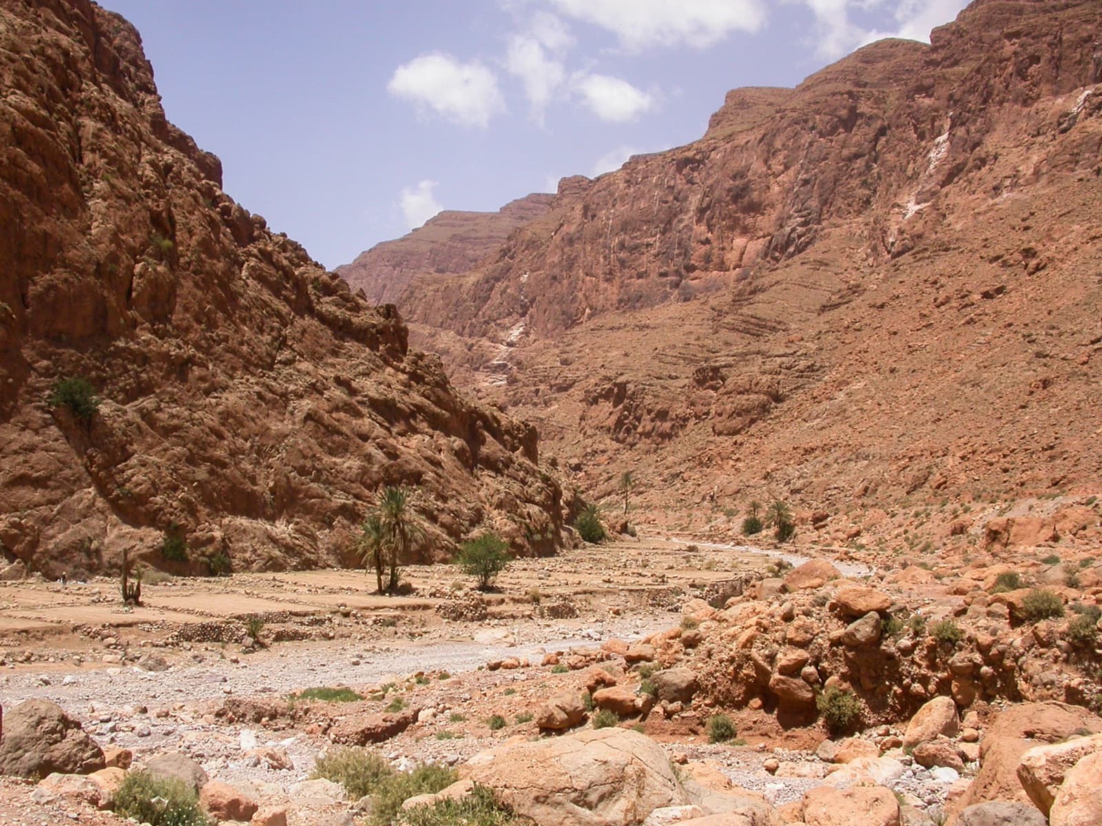
Palms and garden terraces on the riverbed just upstream of the Todra narrows, the setting of the Jardin d'été sector.

Morocco · Todra Gorge (Todgha)

Tik Sab

Four pitches of even 5b, five minutes from the road. In the sun all afternoon. A good short first multipitch of a trip.

5b4 pitches125 m

Compiled from published sources and last verified October 2026. Bolts, anchors and access change. Climbing is dangerous and you are responsible for your own decisions: check a current topo and read the disclaimer.