.jpg)
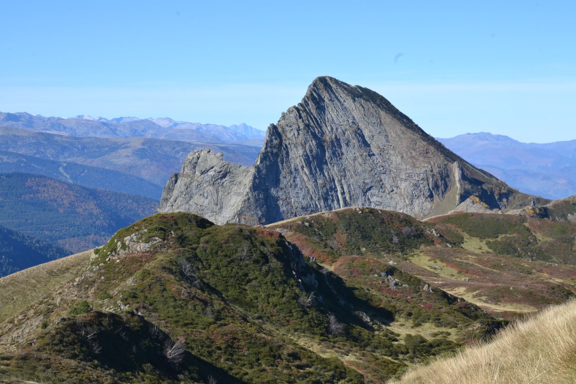
France · Ariège Pyrenees
Pink Floyd
Consistent, low-angled slab climbing on compact granite, with 10 pitches of 5a–5b+ on the big east face. Above all it is a long, sunny-morning moderate.
5b+10 pitches400 m
Read the cautions
Quié de Sinsat – Le Pubis (GR4b+ sector) · Ariège Pyrenees · France
Bail with caveatsBolting confidence: high
The easy way to sample the Quié de Sinsat: three pitches of pocketed slab at an even 5b and a fine layback crack that steepens at the top. Short, a little vegetated, and a good warm-up before the routes on the tier above.
The route
The Pubis is the V-shaped buttress in the middle of the Quié de Sinsat, and the GR4b+ sector on its left flank is the least steep part of it: 120 m of inclined slabs with four routes around 5b to 5c. L'amie serfouette is the most even of them. It is only four pitches, so many parties use it as the first leg of a bigger day, continuing on the Jeanne tier above (Ainsi soit-elle, 6a) for seven pitches at about 5c, or as an easier start to the Intégrale d'Anaïs. The approach is steep and takes longer than the climbing.
The climbing
| Pitch | Grade | Length | Notes |
|---|---|---|---|
| P1 | 5b | 35 m | A fine pocketed slab. The first three or four bolts are fairly far apart. |
| P2 | 5c | 30 m | More slab. A leader fell here in April 2024 and found the bolts close. |
| P3 | 5b | 30 m | Slab again. |
| P4 | 5c | 35 m | A very good layback crack that steepens towards the top; the steep section is very well protected. The best pitch. |
Getting there
Sinsat is in the Ariège valley between Tarascon-sur-Ariège and Les Cabannes, south of Foix on the N20. Coming from Tarascon, turn left onto the D220 about 500 m after the level crossing (sign 'rocher d'escalade'), cross the bridge over the Ariège, turn right and park in the field laid out as a car park. Trains on the Toulouse to Latour-de-Carol line stop at Les Cabannes, about 30 min on foot (3.6 km of flat road) from the car park.
About 35 to 40 min, steep at the end. From the car park take the path common to the Pubis, Peppermint and Toit sectors. After 5 min leave the path to the Sinsat single-pitch cliff on the left; after 10 min leave the Peppermint and Toit path, which goes straight on, and take the track on the right that climbs steeply towards the Pubis (signs). It zigzags, then goes steeply up the gully to the foot of the Pubis; do not be drawn to the other cliffs on either side of the gully. The GR4b+ sector is about 40 m to the left up steep slopes. The route starts at the top of the access gully, at the same point as Smilla and GR4b+, and shares its first bolt with Smilla.
Loading map
The point marks the crag, not the exact start of the route.
Parking
Sinsat climbers' car park (camptocamp waypoint 128849)
Point from camptocamp waypoint 571637 (Quié de Sinsat, Pubis, GR4b+)
Contains the route point and parking. Opens in most mapping apps and GPS watches.
Points are compiled from published sources, with the precision stated above. They were not surveyed on the ground: check them against a current topo.
Coordinates: 42.80786, 1.66255 (crag) · Parking: 42.80071, 1.66522
Getting down
On foot: follow the track left from the top to a junction, then go down following the red dots, with steep steps equipped with fixed ropes, back to the foot of the Pubis and so to the car park. Camptocamp advises against abseiling; CAFMA says abseiling this route is possible but that the path is better and quicker.
Retreat
Bail with caveats
The route is four pitches with bolted belays. CAFMA says abseiling it is possible, while camptocamp advises against it, without giving a reason. No retreat is reported.
Partly inferred from the route facts
Safety
Sun and weather
South facing at about 900 to 1000 m; like all of the Quié it is to be avoided in hot weather and is at its best from autumn to spring. A little vegetation on the route. Parts of the Quié are closed for nesting raptors under a prefectoral order, with dates that vary by sector; CAFMA states that the Intégrale d'Anaïs, which starts in this sector, has no restriction, but check the panels on site and the CAFMA pages.
Sun on the wall · S-facing
Working out the sunlit hours for this month.
Sun on the wallDaylight, wall in shade● Usual season
Estimated from the wall's aspect only. Ignores surrounding terrain, gullies and the wall's exact shape. Clock times are local to the wall (Central European time), for the 15th of each month.
| Measure | Jan | Feb | Mar (usual season) | Apr (usual season) | May (usual season) | Jun | Jul | Aug | Sep | Oct (usual season) | Nov (usual season) | Dec |
|---|---|---|---|---|---|---|---|---|---|---|---|---|
| Mean daily high °C | 2 | 2 | 5 | 8 | 12 | 16 | 19 | 19 | 15 | 12 | 6 | 3 |
| Mean daily low °C | −6 | −6 | −4 | −1 | 3 | 7 | 9 | 9 | 6 | 3 | −2 | −5 |
| Rain days 1 mm or more | 11 | 12 | 12 | 15 | 18 | 17 | 17 | 17 | 13 | 12 | 12 | 11 |
● marks the usual climbing season. Averages for 1991-2020 at about 1785 m. Area climate from Open-Meteo reanalysis. Temperatures are adjusted to the height of the crag; rain comes from a grid cell of about 10 to 25 km, and summer highs on sea cliffs can read a few degrees low. The wall and valley can differ. Data: Open-Meteo, CC BY 4.0.
What to carry
11 quickdraws and a single 70 m rope according to camptocamp; CAFMA also gives 11 quickdraws. Helmet.
Derived from the route data; check it against a current topo
From climbers
Reader reports are not being collected yet. Until they are, check a current topo and the local club or guidebook publisher for recent changes to L'amie serfouette.
Worth knowing
Open questions
Provenance
Same area
France · Ariège Pyrenees
Consistent, low-angled slab climbing on compact granite, with 10 pitches of 5a–5b+ on the big east face. Above all it is a long, sunny-morning moderate.
5b+10 pitches400 m
Read the cautions
France · Ariège Pyrenees
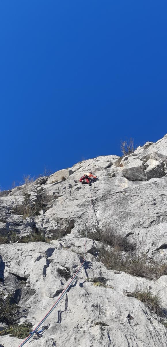
The hard classic of the Calamès pillars above Bédeilhac: technical slabs, a well-bolted roof and a sustained 6c wall, capped by a short 7a slab pitch after a walk across a garden. Compact rock and close bolts make it a good place to try harder grades on a multipitch. The middle pitch is vegetated.
7a5 pitches180 m
France · Ariège Pyrenees
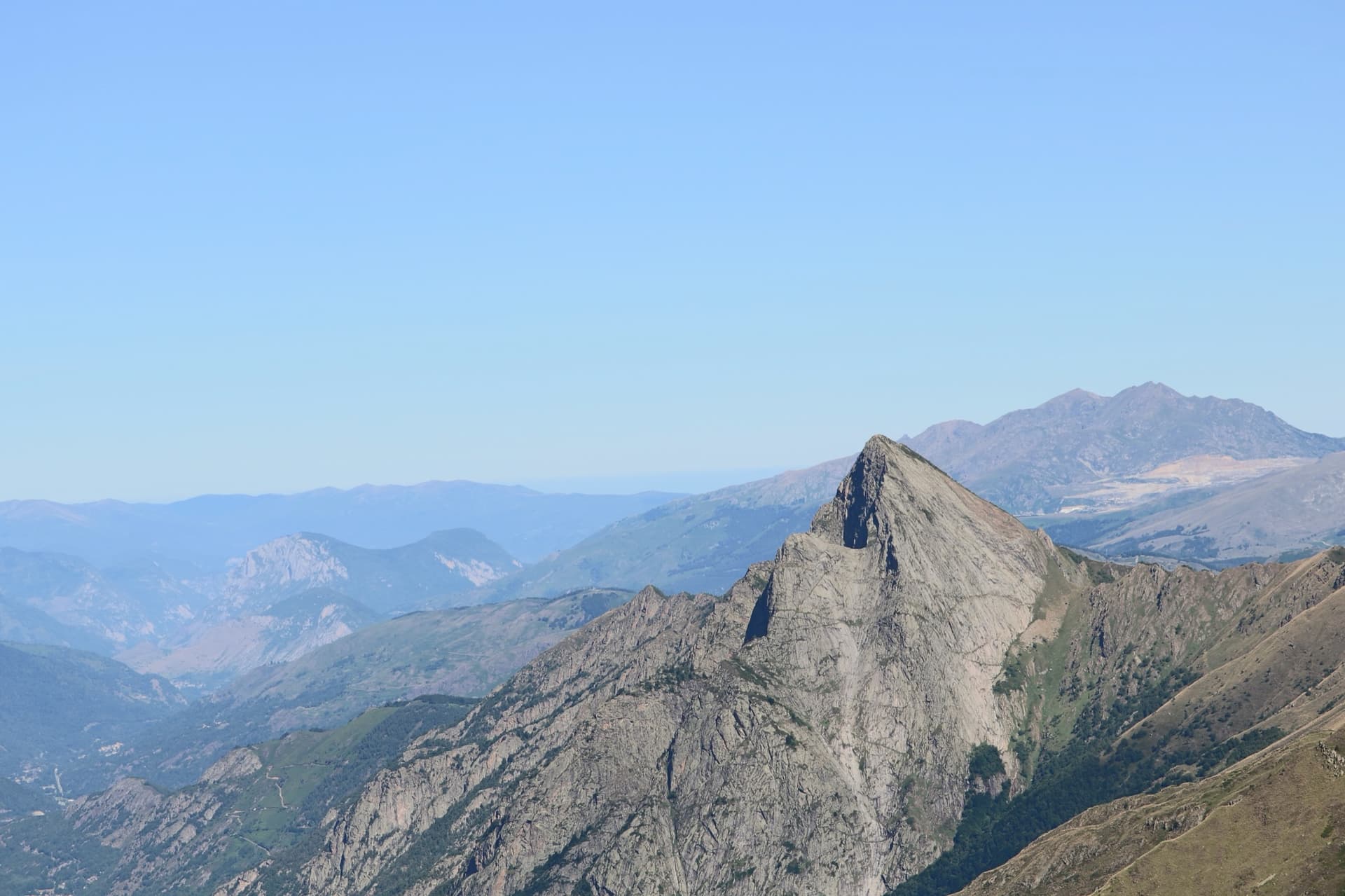
The friendliest introduction to the granite slabs of the Dent d'Orlu: six pitches of friction climbing with a few steeper steps, shorter and better bolted than the face's big classics. It is the route to do when the weather is unsure or the longer lines are out of reach.
5c6 pitches230 m
France · Ariège Pyrenees
A short multipitch on the sculpted granite dome below the Dent d'Orlu, and a change from the big slabs above: a friction slab, a surprisingly vertical wall, a steep 6a corner and crack that finishes with a thin traverse, and a long slab to the top.
6a5 pitches120 m
Around 5c · about 4 pitches
France · Gorges de la Jonte
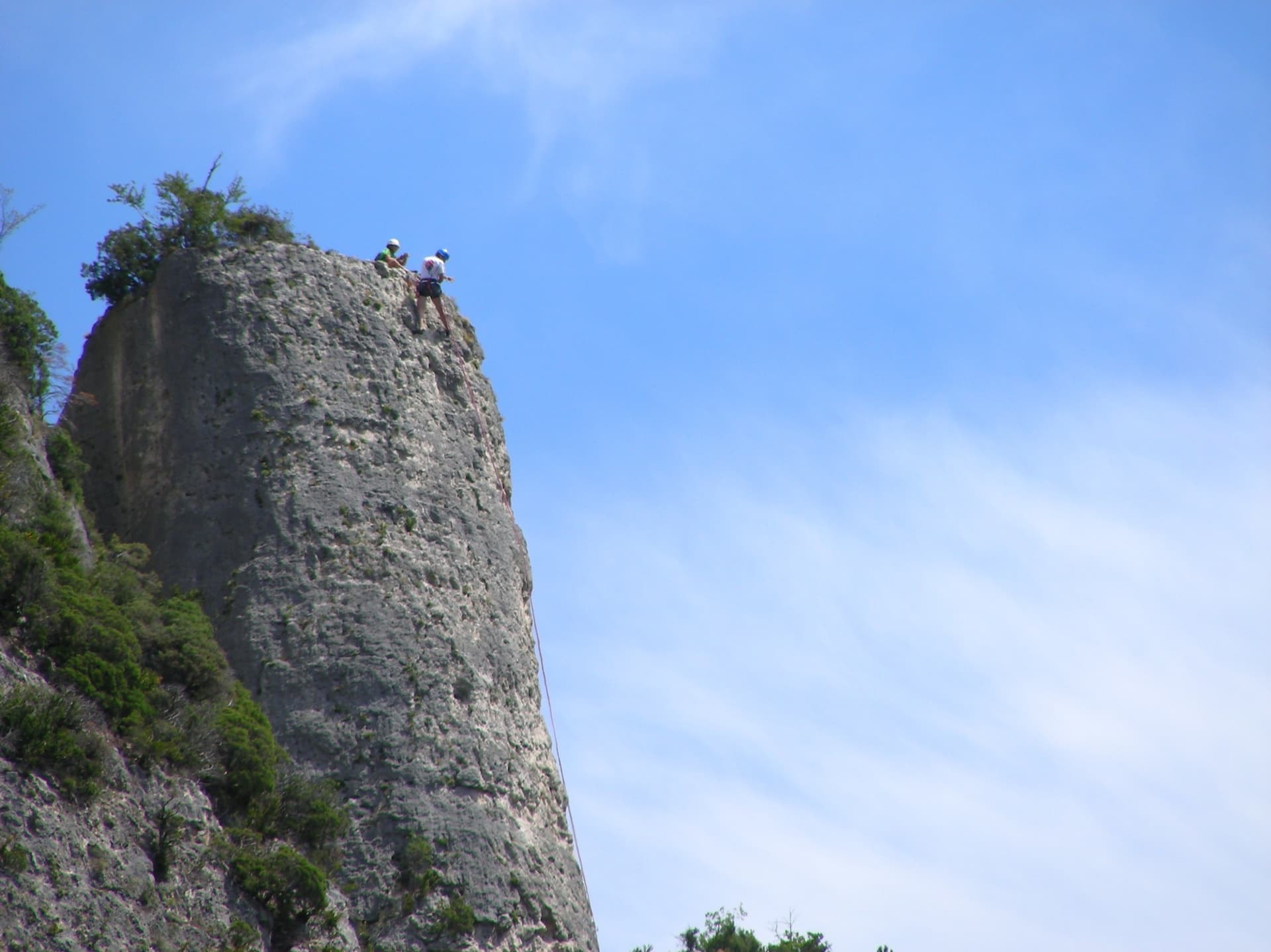
The pillar that gives the sector its name, climbed in four short pitches on grey, well-featured rock. The third pitch is a sustained vertical crack and the best of the route. It is the usual first multipitch for visitors because the bolts are closer than elsewhere in the gorge.
5c4 pitches100 m
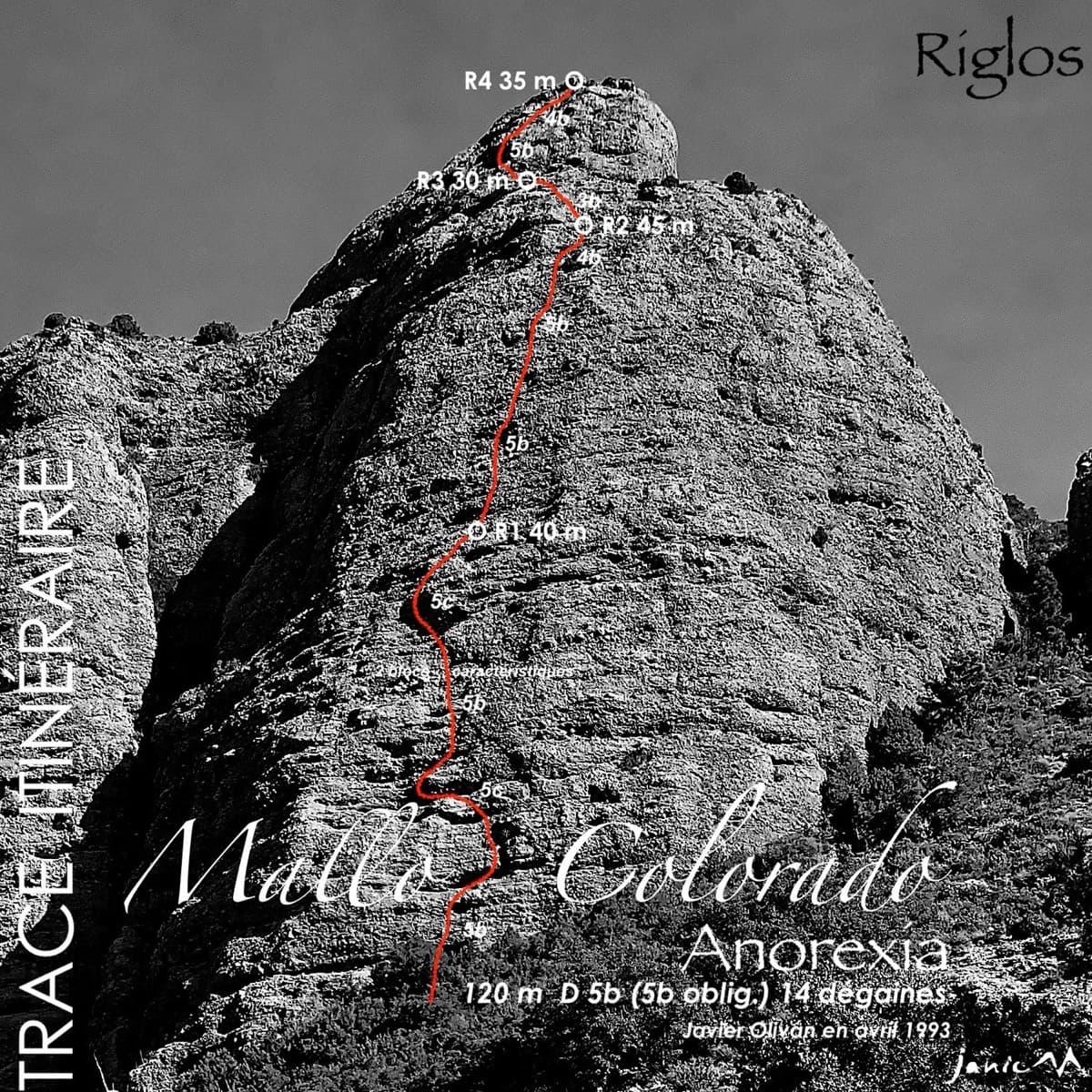
Spain · Riglos & Agüero (Mallos)
The best-known route on the Mallo Colorado. Two steep, juggy panza pitches have a well-protected boulder move, giving a short taste of real Riglos steepness at a friendly grade.
5c4 pitches150 m
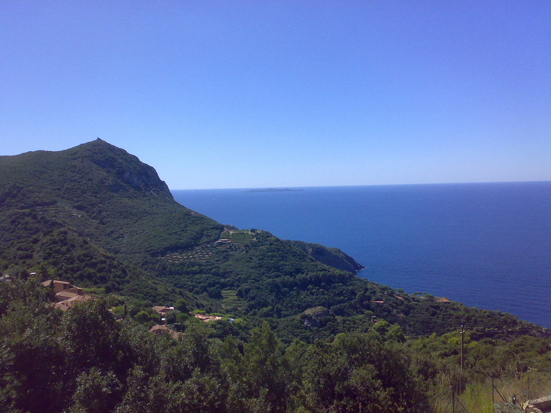
Italy · Monte Argentario
Four pitches on the sea-facing wall of Capo d'Uomo: a featured slab, an easy linking pitch, and two vertical, athletic pitches on sculpted grey limestone to the crest below the old watchtower. The final wall is the highlight. The lower pitches need care with holds.
5c4 pitches110 m
Read the cautions
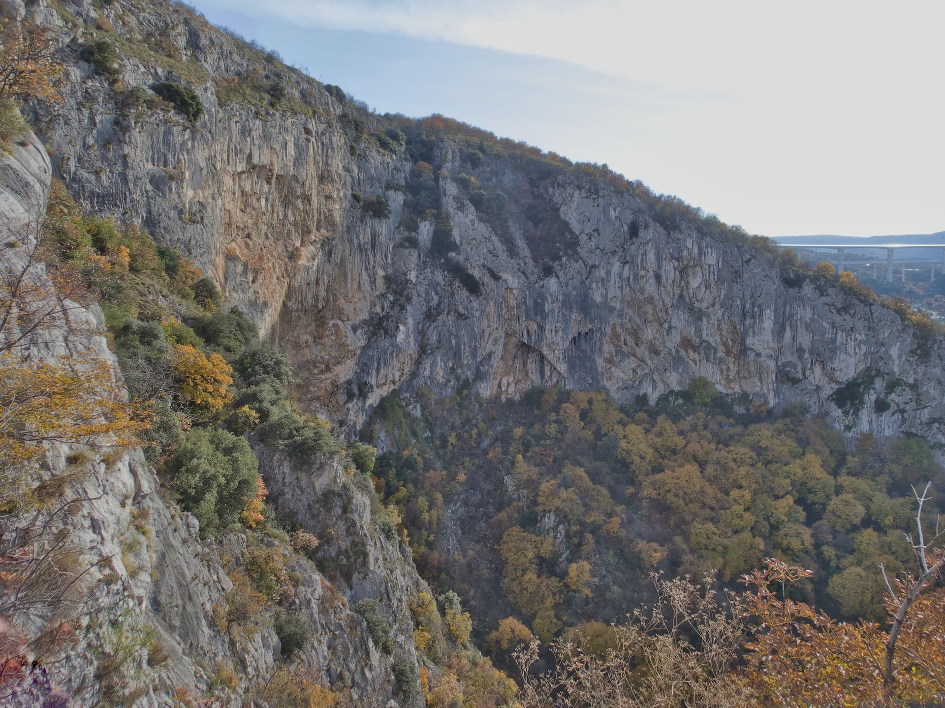
Slovenia · Osp
The easiest line on Osp's famous overhanging Big Wall, following an obvious right-slanting ramp, the only non-overhanging part of the face. It is in shade until about 11:30 in July.
5c4 pitches110 m
Read the cautions
Compiled from published sources and last verified October 2026. Bolts, anchors and access change. Climbing is dangerous and you are responsible for your own decisions: check a current topo and read the disclaimer.