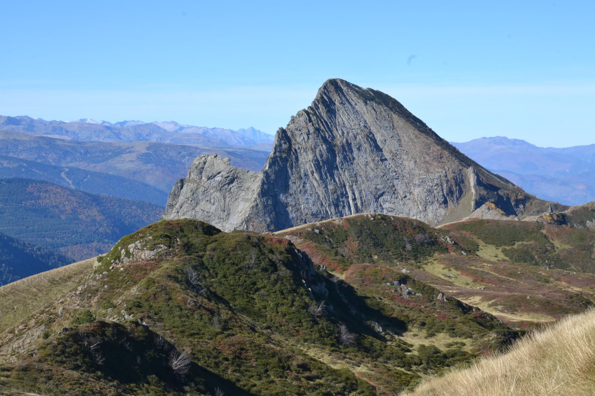
France · Ariège Pyrenees
Pink Floyd
Consistent, low-angled slab climbing on compact granite, with 10 pitches of 5a–5b+ on the big east face. Above all it is a long, sunny-morning moderate.
5b+10 pitches400 m
Read the cautions
Dent d'Orlu – South-East Face · Ariège Pyrenees · France
Easy to bailBolting confidence: high
The friendliest introduction to the granite slabs of the Dent d'Orlu: six pitches of friction climbing with a few steeper steps, shorter and better bolted than the face's big classics. It is the route to do when the weather is unsure or the longer lines are out of reach.
The route
I Cal Ana is on the right-hand part of the south-east face of the Dent d'Orlu, the 'little Yosemite' of the Ariège, where most routes are long slab climbs with famously spaced bolts. This one is the exception: 230 m, six pitches, grade 5b to 5c throughout and bolted more closely than its neighbours. The lower pitches are fine clean slab; the fourth is vegetated; the upper two are more varied. It ends at a ledge well below the summit and you abseil back down. Strong parties add the last pitches of the neighbouring Lézard, which are a little harder and less well bolted.
The climbing
| Pitch | Grade | Notes |
|---|---|---|
| P1 | 5b | Slab. A 2025 party found the bolts a long way apart here. |
| P2 | 5b+ | Slab that ends with a very thin section and an acrobatic step down and across onto a tiny ledge below the belay. |
| P3 | 5c | A few moves that are not so simple to pass a steeper step. |
| P4 | 5b | A vegetated pitch of little interest. It is easy to stray to the fourth belay of the neighbouring I Cal Puja: a 2025 party did and had to cross back. |
| P5 | 5c | More varied climbing with moves of 5c. |
| P6 | 5c | Last pitch to the official end of the route. A 5c+ pitch of a neighbouring line continues above. |
Getting there
From Toulouse or Foix follow the N20 towards Andorra to Ax-les-Thermes, then the D22 to Orlu. Pass the village and, at the Forges d'Orlu, turn left onto the road to the national reserve and the Pont du Bisp. In July and August a shuttle runs from Ax-les-Thermes to Orlu. Park on the tarmac lay-by at the edge of the wood just after a cattle grid, shortly before the Pont du Bisp and the reserve car park (about 15 places).
About 40 to 50 min, steep. From the lay-by walk back down the road towards Ax for about 30 m and take a faint track on the right, before the Pont du Bisp. It climbs steeply through beech forest, marked by red dots on trees (a 2025 party also mentions yellow ones) and cairns. Do not follow the broad red dashes, which mark plot boundaries. At the foot of the face go right to the starts; the names painted in red are badly faded, so check the line against the CAFMA panorama.
Loading map
The point marks the crag, not the exact start of the route.
Parking
Orlu, Pont du Bisp (camptocamp waypoint 128846)
Point from camptocamp waypoint 187234 (Dent d'Orlu, Face SE)
Contains the route point and parking. Opens in most mapping apps and GPS watches.
Points are compiled from published sources, with the precision stated above. They were not surveyed on the ground: check them against a current topo.
Coordinates: 42.68981, 1.94339 (crag) · Parking: 42.68111, 1.94444
Getting down
By abseil down the route. A 2026 party notes that the last two abseils can be combined if you pull diagonally towards the start of Les Enfants de la Dalle. A 2025 party preferred the abseils of the neighbouring Assurance tout spit, which are less vegetated except for the first two. Then the approach path in reverse; wear proper shoes for it.
Retreat
Easy to bail
Abseiling the route is the normal descent, and the sector page says every route on the face is equipped for it. A party on the same face retreated from the fifth pitch of a neighbouring route in 2019 by abseil. The lower abseils cross vegetated ledges where ropes can catch.
Safety
Sun and weather
South-east facing from about 1450 m, in the sun from early morning until mid-afternoon; too hot in a summer heatwave. The face is laced with vegetated ledges that hold water, so the slabs stay wet for days after rain. Camptocamp suggests the route for uncertain weather or when snow still covers the foot of the east face.
Sun on the wall · SE-facing
Working out the sunlit hours for this month.
Sun on the wallDaylight, wall in shade● Usual season
Estimated from the wall's aspect only. Ignores surrounding terrain, gullies and the wall's exact shape. Clock times are local to the wall (Central European time), for the 15th of each month.
| Measure | Jan | Feb | Mar | Apr | May (usual season) | Jun (usual season) | Jul (usual season) | Aug | Sep (usual season) | Oct (usual season) | Nov | Dec |
|---|---|---|---|---|---|---|---|---|---|---|---|---|
| Mean daily high °C | 2 | 2 | 5 | 8 | 12 | 16 | 19 | 19 | 15 | 12 | 6 | 3 |
| Mean daily low °C | −6 | −6 | −4 | −1 | 3 | 7 | 9 | 9 | 6 | 3 | −2 | −5 |
| Rain days 1 mm or more | 11 | 12 | 12 | 15 | 18 | 17 | 17 | 17 | 13 | 12 | 12 | 11 |
● marks the usual climbing season. Averages for 1991-2020 at about 1785 m. Area climate from Open-Meteo reanalysis. Temperatures are adjusted to the height of the crag; rain comes from a grid cell of about 10 to 25 km, and summer highs on sea cliffs can read a few degrees low. The wall and valley can differ. Data: Open-Meteo, CC BY 4.0.
What to carry
14 quickdraws and a rope that allows 45 m abseils according to camptocamp; the CAFMA topo says 12 quickdraws plus belays and a 100 m abseil rope, so take 2×50 m. Helmet. Stiff-soled shoes for the steep forest path.
Derived from the route data; check it against a current topo
From climbers
Reader reports are not being collected yet. Until they are, check a current topo and the local club or guidebook publisher for recent changes to I Cal Ana.
Worth knowing
Open questions
Provenance
Same area
France · Ariège Pyrenees
Consistent, low-angled slab climbing on compact granite, with 10 pitches of 5a–5b+ on the big east face. Above all it is a long, sunny-morning moderate.
5b+10 pitches400 m
Read the cautions
France · Ariège Pyrenees
The hard classic of the Calamès pillars above Bédeilhac: technical slabs, a well-bolted roof and a sustained 6c wall, capped by a short 7a slab pitch after a walk across a garden. Compact rock and close bolts make it a good place to try harder grades on a multipitch. The middle pitch is vegetated.
7a5 pitches180 m
France · Ariège Pyrenees
A short multipitch on the sculpted granite dome below the Dent d'Orlu, and a change from the big slabs above: a friction slab, a surprisingly vertical wall, a steep 6a corner and crack that finishes with a thin traverse, and a long slab to the top.
6a5 pitches120 m
France · Ariège Pyrenees
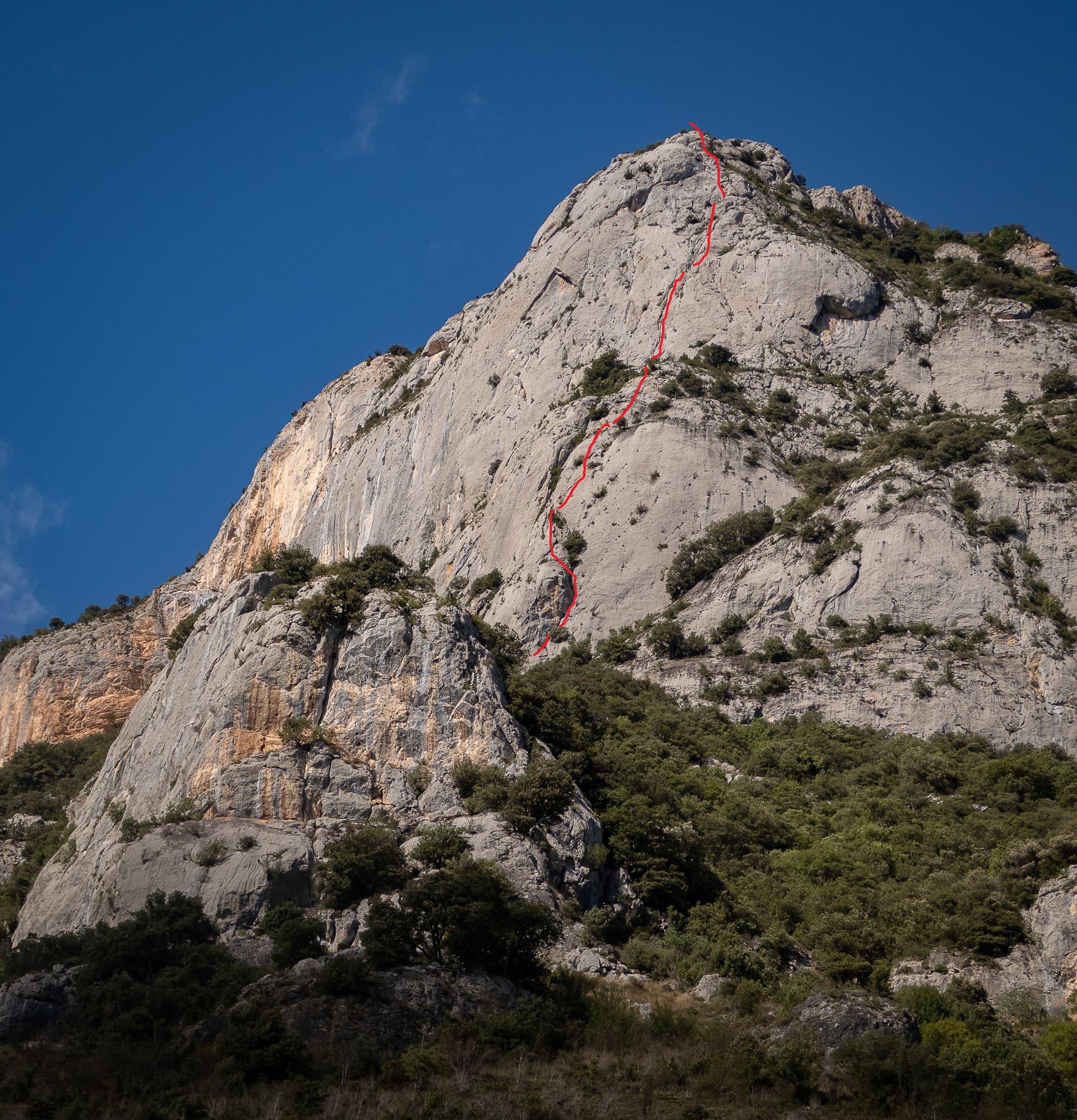
The finest line on the big grey slabs of the Peppermint sector, a notch harder than Peppermint itself. A reachy 6b+ move and a chimney-corner start the day; a ledge splits the wall; the two pitches above it, a corner and a thin, sustained 6b slab, are the highlight.
6b+8 pitches280 m
Around 5c · about 6 pitches
Switzerland · Vaud Alps
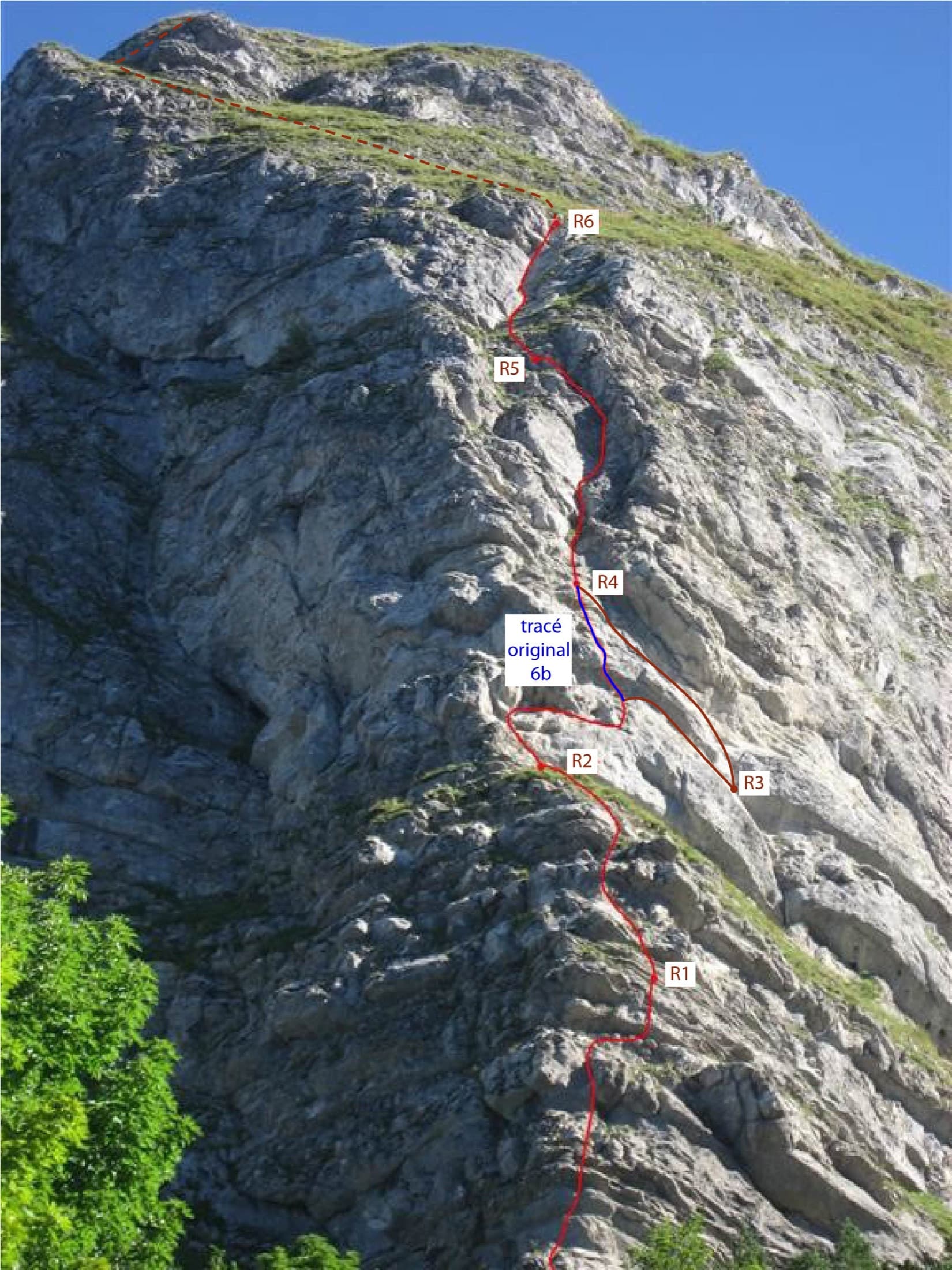
Six short pitches up the west edge of the pillar on the Dent de Jaman, the limestone tooth above Montreux, with Lake Geneva at your back. Slopers low down, a delicate traverse, then a fine slab and two good corner pitches. Hugely popular, a short walk from a mountain railway halt.
5c6 pitches120 m
Austria · Zillertal
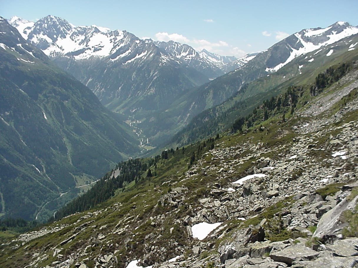
bergsteigen.com counts it among the best easier multipitch routes in the Zillertal and one of the few true plaisir lines there. Six pitches of featured slabs, steep walls studded with quartz crystals and fine flakes, with very little smooth rock. Three pitches reach UIAA 6-.
5c6 pitches200 m
Italy · Lecco & Valsassina
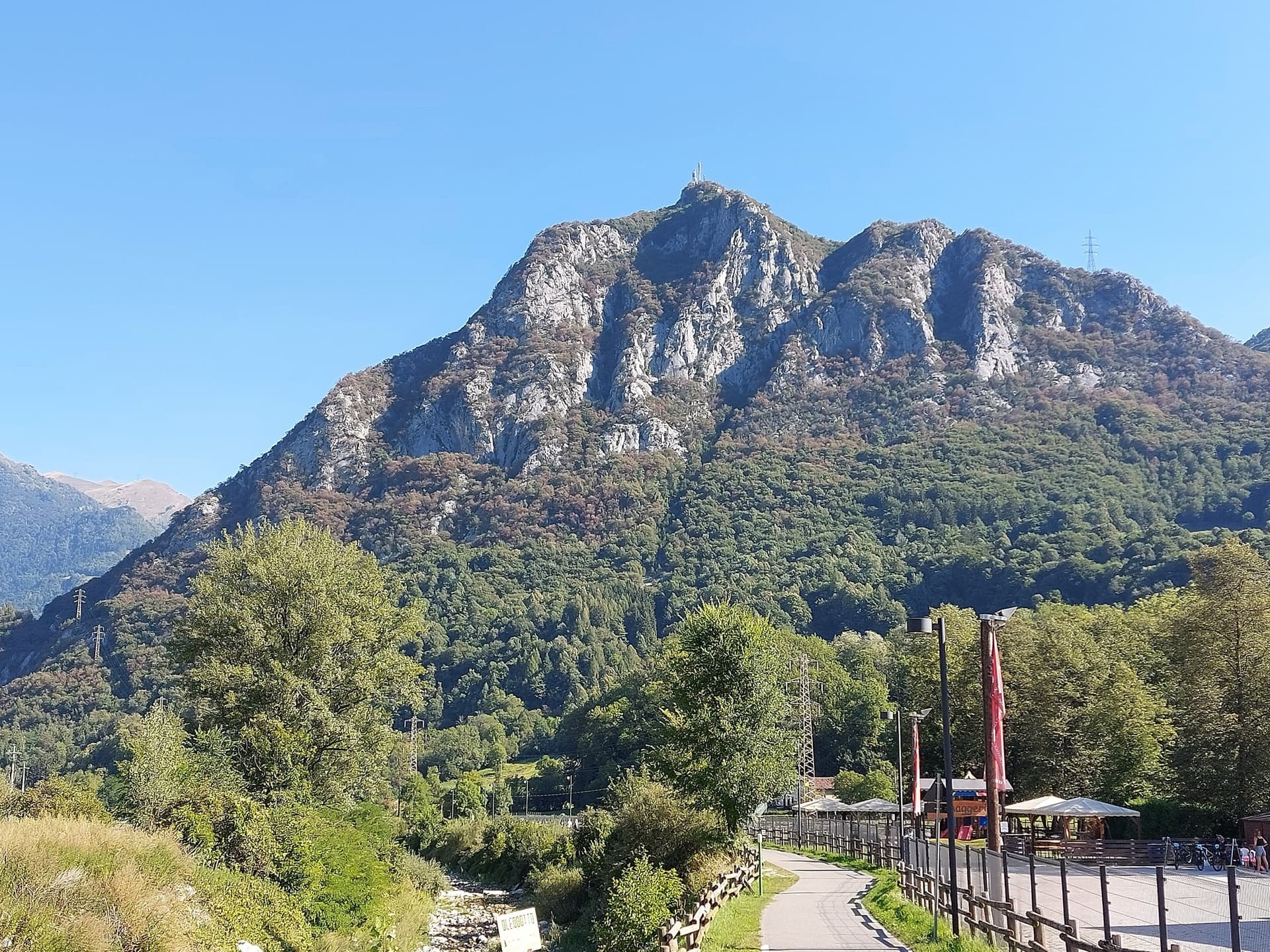
A 1979 Ivan Guerini line up the big slab of the second spur: friction climbing on compact limestone with a few steeper steps, a fine third pitch and a corner to finish. Grades are even, around 5a to 5c, and the bolts are far enough apart that slab confidence matters. You abseil off.
5c6 pitches120 m
Read the cautions
Spain · El Chorro
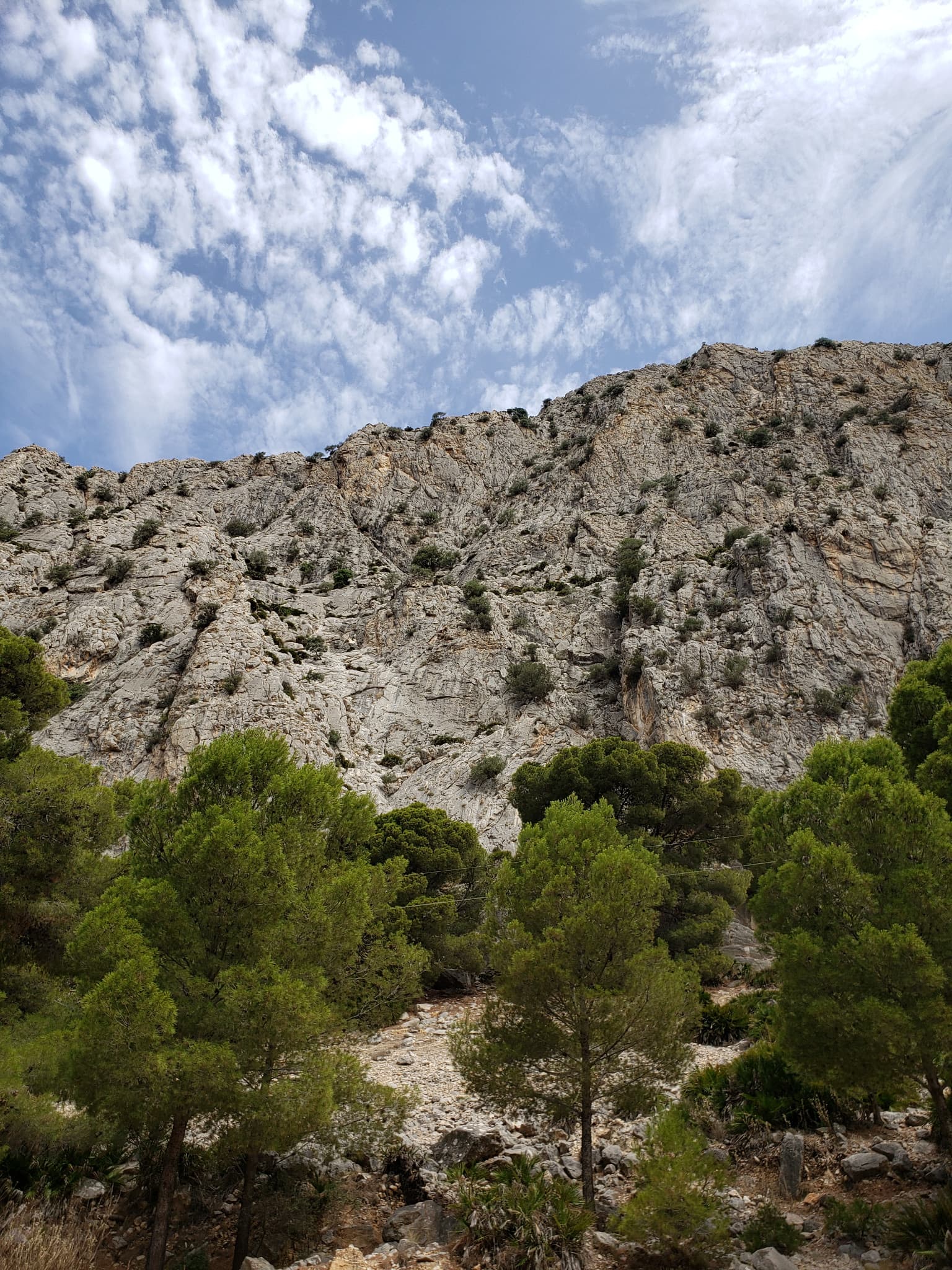
A friendly six-pitch route that climbs half-way up the Frontales Altas and abseils back down. Most of it is easy, with good rests and some low-angle ground; the crux third pitch takes a neat little arête. It shares its first two short pitches with Blue Line.
5c6 pitches148 m
Compiled from published sources and last verified October 2026. Bolts, anchors and access change. Climbing is dangerous and you are responsible for your own decisions: check a current topo and read the disclaimer.