Multipitch Atlas

Ace of Spades

Dent de Jaman – south face · Vaud Alps · Switzerland

Easy to bailBolting confidence: high

Six short pitches up the west edge of the pillar on the Dent de Jaman, the limestone tooth above Montreux, with Lake Geneva at your back. Slopers low down, a delicate traverse, then a fine slab and two good corner pitches. Hugely popular, a short walk from a mountain railway halt.

Photo-topo of Ace of Spades on the Dent de Jaman: the 2015 line in red, the original 6b variant in blue and the approximate summit exit dashedPhoto: Laurent · CC BY-SA 3.0

Topo

Photo-topo of Ace of Spades on the Dent de Jaman: the 2015 line in red, the original 6b variant in blue and the approximate summit exit dashedPhoto: Laurent · CC BY-SA 3.0
Hardest pitch
5c
Pitches
6
Length
120 m
Approach
15 min
Aspect
S
South-facing
Rope
2×50 m

The route

Overview

The Dent de Jaman is the sharp limestone summit above Montreux, reached in minutes from the Jaman halt of the Rochers-de-Naye rack railway. Ace of Spades follows the west edge of the pillar in the centre of its south face and is one of the most-climbed easy multipitches in the Vaud Alps, with dozens of logged ascents each year. Since the 2015 rebolt the line avoids the old 6b overhang and stays at 5c, with close bolts and belays rigged for abseiling. The rock is stratified and still sheds holds low down, and there is a seasonal request not to climb it while jackdaws nest on the last pitch.

The climbing

Pitch by pitch

Pitches of Ace of Spades
PitchGradeNotes
P15b+Turn the overhang below the first belay on the right. Sloping holds, and the rock is at its worst here: a foothold broke on one leader in 2025.
P25aA slightly loose passage, then grass towards the end.
P35cA delicate traverse, a few metres up, then down to the right to the belay. Uncomfortable for the second because it descends before the stance. The original line instead attacks the overhang here (marked '6b' in red; 6b, or 5c with two points of aid) and joins the route higher, well protected.
P45cA fine slab, with very good handholds in the upper part.
P55cA good chimney-corner. The belay is 1 m to the left (red arrow). The hardest move has the one older, more distant bolt, and a newer leader found it a little committing. Jackdaws nest beside the belay.
P65cA slab, then a fine corner and crack to the top of the difficulties.

Getting there

Approach

To the parking

Take the Montreux to Rochers-de-Naye rack railway and get off at Jaman (1739 m), ten minutes from the route. In October 2025 engineering works replaced the upper section with a bus to Haut-de-Caux, so check before you go. By car, a very narrow and steep road leads from Montreux through Les Avants to the Col de Jaman (1550 m), where you can park; one party walked from Haut-de-Caux instead.

On foot · about 15 min

From the Jaman halt take the path towards the Dent de Jaman. Where it forks at the signpost to climb to the summit, drop into the combe on the left to reach the foot of the face above the pines; a track runs along the base. Pass the first route, descend a little, and you reach Ace of Spades on the west edge of the pillar. The start is just after a metal post with horizontal bars and is marked 'ACE', with one bolt. 10 to 15 minutes from the halt, about 30 minutes from the Col de Jaman by the normal summit path to the same fork.

Map of the walk-in

  • Crag
  • Parking

Loading map

The point marks the crag, not the exact start of the route.

Coordinates · crag

46.44502, 6.97483

Parking

46.44190, 6.97668

Jaman halt of the Montreux – Rochers-de-Naye railway (camptocamp access waypoint 196326); drivers park at the Col de Jaman instead

Point from camptocamp waypoint 137811 (Dent de Jaman summit; the route is on the south face just below)

For your phone or watch

Download GPX

Contains the route point and parking. Opens in most mapping apps and GPS watches.

Points are compiled from published sources, with the precision stated above. They were not surveyed on the ground: check them against a current topo.

Getting down

Descent

By abseil: all belays are equipped (linked with slings or cord whose condition you should check). With 2×50 m, three abseils from the top via the belays above pitches 3 and 2; with 2×60 m, two abseils. Stonefall is possible. Or continue to the summit: about four rope lengths of steep grass and scrambling with fixed ropes, one or two bolts between belays of two unlinked bolts; follow the topo, not the yellow slings. From the summit the tourist path leads back to the Jaman halt in about 15 minutes or to the Col de Jaman.

Retreat

Bailing off the route

Easy to bail

Every belay is equipped for abseiling and going down the route is one of the two normal descents. With 2×50 m you can retreat from any stance; check the slings or cord linking the belay bolts and watch for loose stones.

Retreat from
Any belay.
Point of no return
None on the six pitches. Once you start up the grass towards the summit it is simpler to finish.
Carry
Two 50 m ropes, and some cord in case a belay link is worn.
Basis
Stated in the sourcesCamptocamp states that all belays are equipped for abseiling and gives the abseil sequences.

Safety

Hazards

  • Friable, stratified rock, especially on the first two pitches. Test holds and take care not to drop stones on your second or on people on the track below.
  • The seasonal nesting restriction (1 March to 30 July) is a recommendation, and birds have dive-bombed parties in June.
  • Short pitches with changes of direction give rope drag.
  • The summit exit is steep grass that is serious when wet; the fixed ropes were reported as dried out in 2025.
  • In winter mixed-climbing parties use parts of the lower route and have scratched holds.

Sun and weather

Conditions

South-facing limestone at 1700 to 1820 m. The SAC topo note attached to the route recommends not climbing it between 1 March and 30 July because alpine choughs nest on the last pitch and defend the nest; the months listed here follow that. Outside the nesting period it is climbed from spring to late autumn and is very hot on summer mornings; late afternoon is more pleasant. Cloud often sits on the tooth while Montreux is clear.

Usual season · Aug to Oct

Sun on the wall · S-facing

Working out the sunlit hours for this month.

  • January: not yet worked out
  • February: not yet worked out
  • March: not yet worked out
  • April: not yet worked out
  • May: not yet worked out
  • June: not yet worked out
  • July: not yet worked out
  • August (usual season): not yet worked out
  • September (usual season): not yet worked out
  • October (usual season): not yet worked out
  • November: not yet worked out
  • December: not yet worked out

Sun on the wallDaylight, wall in shade● Usual season

Estimated from the wall's aspect only. Ignores surrounding terrain, gullies and the wall's exact shape. Clock times are local to the wall (Central European time), for the 15th of each month.

Monthly climate averages for Vaud Alps, 1991-2020
MeasureJanFebMarAprMayJunJulAug (usual season)Sep (usual season)Oct (usual season)NovDec
Mean daily high °C−6−4−126111313106−1−6
Mean daily low °C−15−14−10−7−32330−4−10−15
Rain days 1 mm or more131214141919191715131313

● marks the usual climbing season. Averages for 1991-2020 at about 2182 m. Area climate from Open-Meteo reanalysis. Temperatures are adjusted to the height of the crag; rain comes from a grid cell of about 10 to 25 km, and summer highs on sea cliffs can read a few degrees low. The wall and valley can differ. Data: Open-Meteo, CC BY 4.0.

What to carry

Gear

15 quickdraws including those for the belays. Two 50 m or 60 m ropes if you plan to abseil. Slings or cord to back up the belay links. Helmet essential.

Checklist

Quickdraws
15
Rope
2×50 m
Helmet
One each
Abseil device and prusik
The descent or the retreat involves abseiling
Cord
Mentioned for retreat

Derived from the route data; check it against a current topo

From climbers

Reader reports

Reader reports are not being collected yet. Until they are, check a current topo and the local club or guidebook publisher for recent changes to Ace of Spades.

Worth knowing

Tips

  • Allow 2.5 to 3 hours for the six pitches.
  • The 6b original variant on pitch 3 is well protected and can be pulled through.
  • The buvette at Jaman, by the halt, is a fixture for parties after the route.
  • With time left, the Arête des Gais Alpins nearby makes a long second objective, as one 2026 party showed.

Open questions

Where sources disagree

  • Abseil belay numbering: camptocamp writes the 2×50 m descent as R5 to R3 to R2 to the ground and the 2×60 m descent as R5 to R2 to the ground, although the route has six pitches and reports mention a sixth belay. The number of abseils (three or two) is used here.
  • Bolting: a July 2025 report says the equipment looks brand new and close; a May 2026 report calls it correct with one committing passage on pitch 5 and another notes a single older, distant bolt there.
  • Rope: camptocamp gives 2×50 m for three abseils; a 2026 party carried 2×60 m.
  • Grade elsewhere: theCrag lists the route at 5c and 120 m, in agreement; a general French listing for the crag speaks of 6b to 7b routes with big run-outs, which describes other lines on the Dent de Jaman.

Provenance

Sources

Same area

More in Vaud Alps

All routes in Vaud Alps
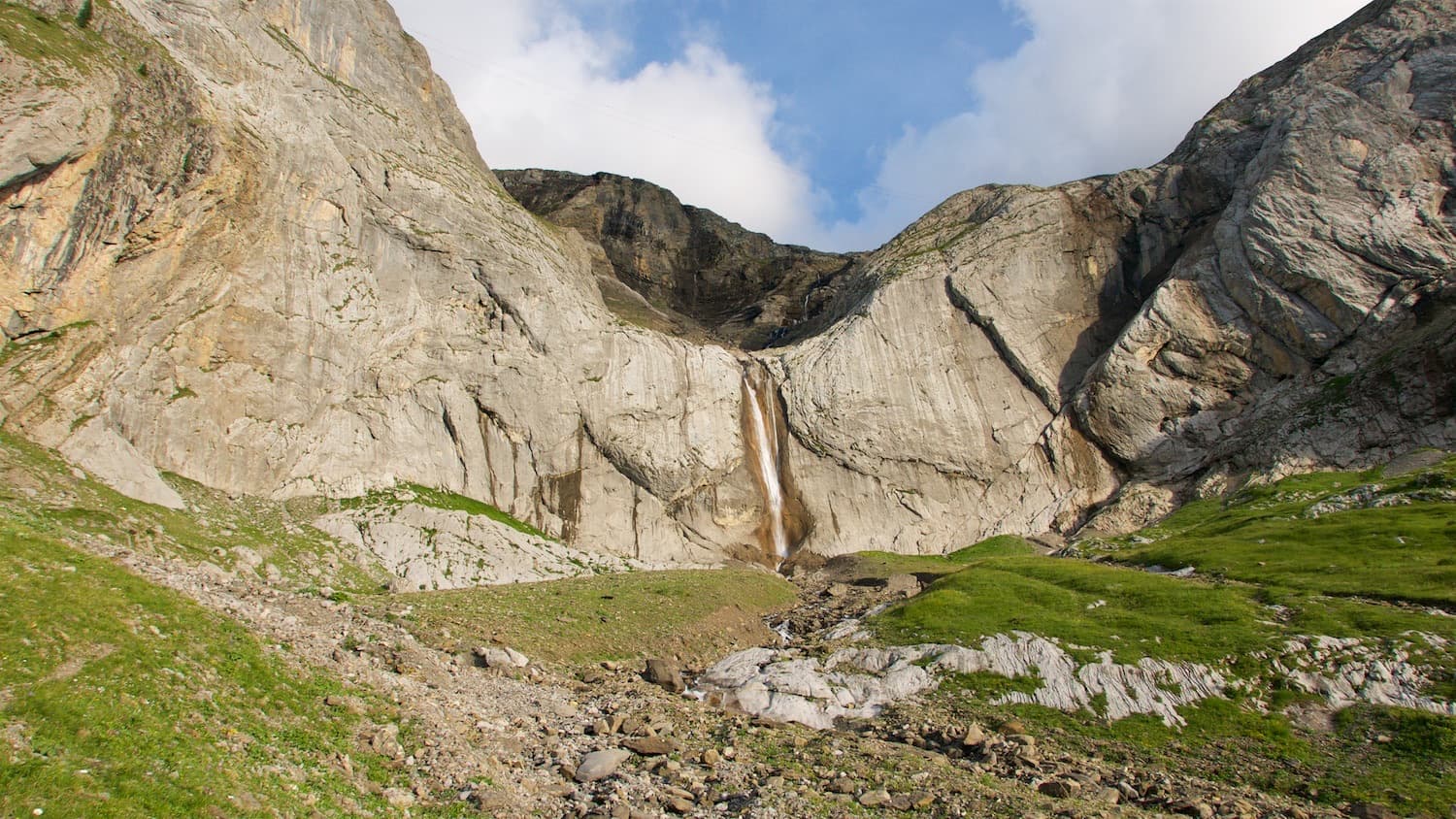
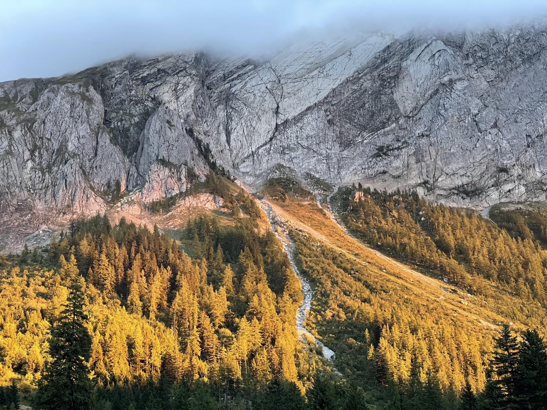
The Miroir d'Argentine above the larches of Solalex in evening light, cloud sitting on the ridge.

Switzerland · Vaud Alps

Remix

The bolted way up the Miroir d'Argentine: fourteen pitches of compact limestone slab, with the difficulties in the first four pitches and long, easy, run-out friction above. A big day out at a modest grade with a mountain walk-off. Do not underestimate it.

5c+14 pitches400 m

Read the cautions
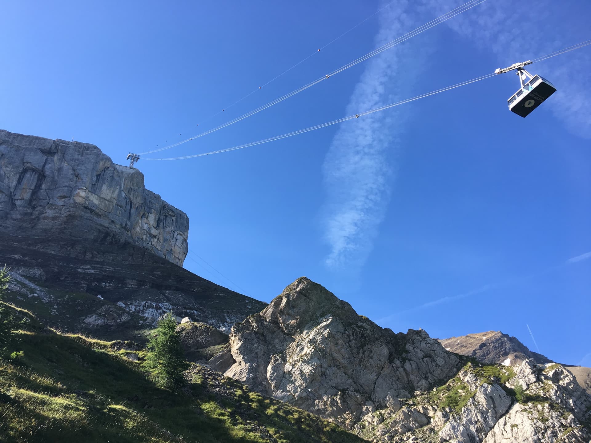
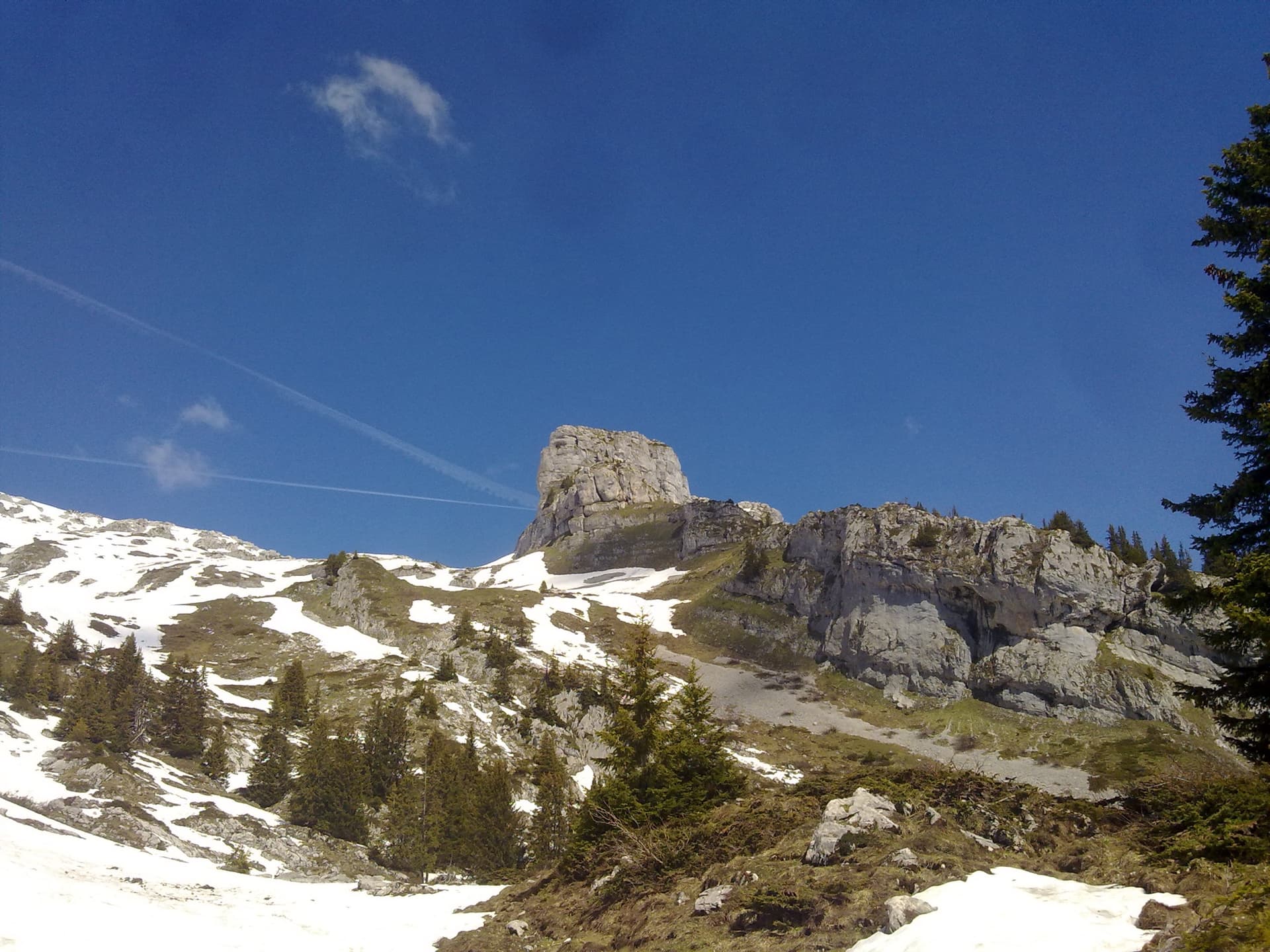
The Tête aux Chamois cliff under the Glacier 3000 cable car; the route climbs below the pylon

Switzerland · Vaud Alps

La diagonale du fou

Five short, varied pitches on compact limestone directly under the Glacier 3000 cable car, reached by a section of via ferrata. Not strenuous, generously bolted and friendly in grade. It tops out beside the cable-car station and the Diablerets hut.

6a5 pitches200 m

The Falaise du Dar and its waterfall above the Col du Pillon; Mérite alpin climbs the wall to the right of the fall

Switzerland · Vaud Alps

Mérite alpin

The first route opened on the wall right of the Dar waterfall: an easy pitch, two long pitches of steep technical slab and a fine vertical corner with a few athletic moves. Sustained for its grade on superb grey limestone, in the shade for most of the day.

6a+4 pitches130 m

Read the cautions

The Tour de Famelon above Leysin seen from the south

Switzerland · Vaud Alps

Dis-moi Céline

A climbing way up the Tour de Famelon above Leysin: two pitches up a small pillar, a walk across grass, then three pitches on a compact south wall with runnels and thin moves. Short pitches, grassy links and a stiff 6a to finish, in a fine setting.

6a5 pitches m

Read the cautions

Around 5c · about 6 pitches

Similar elsewhere

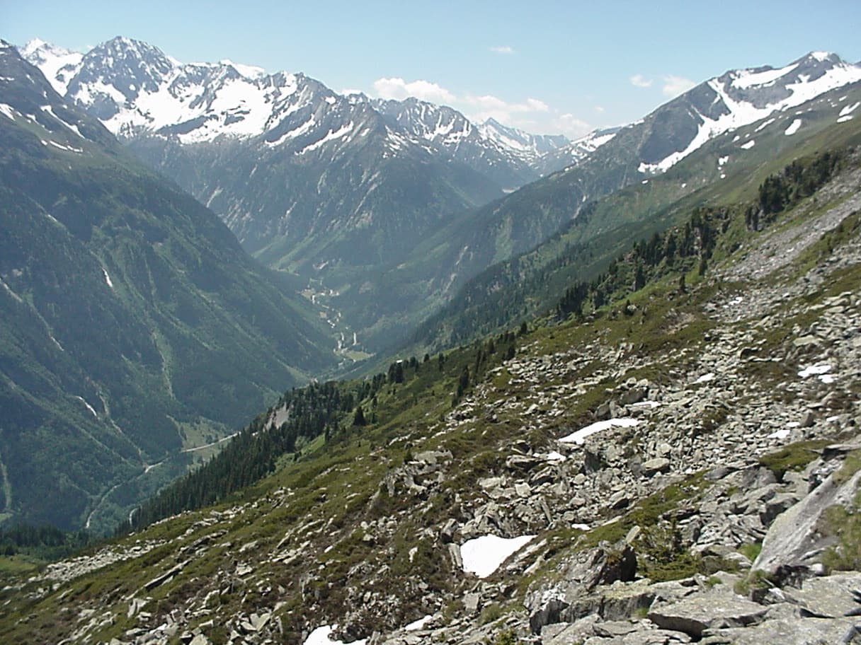
The upper Zemmtal with Gasthof Breitlahner on the valley floor, the starting point for the Karlkopf routes

Austria · Zillertal

Herzblut

bergsteigen.com counts it among the best easier multipitch routes in the Zillertal and one of the few true plaisir lines there. Six pitches of featured slabs, steep walls studded with quartz crystals and fine flakes, with very little smooth rock. Three pitches reach UIAA 6-.

5c6 pitches200 m

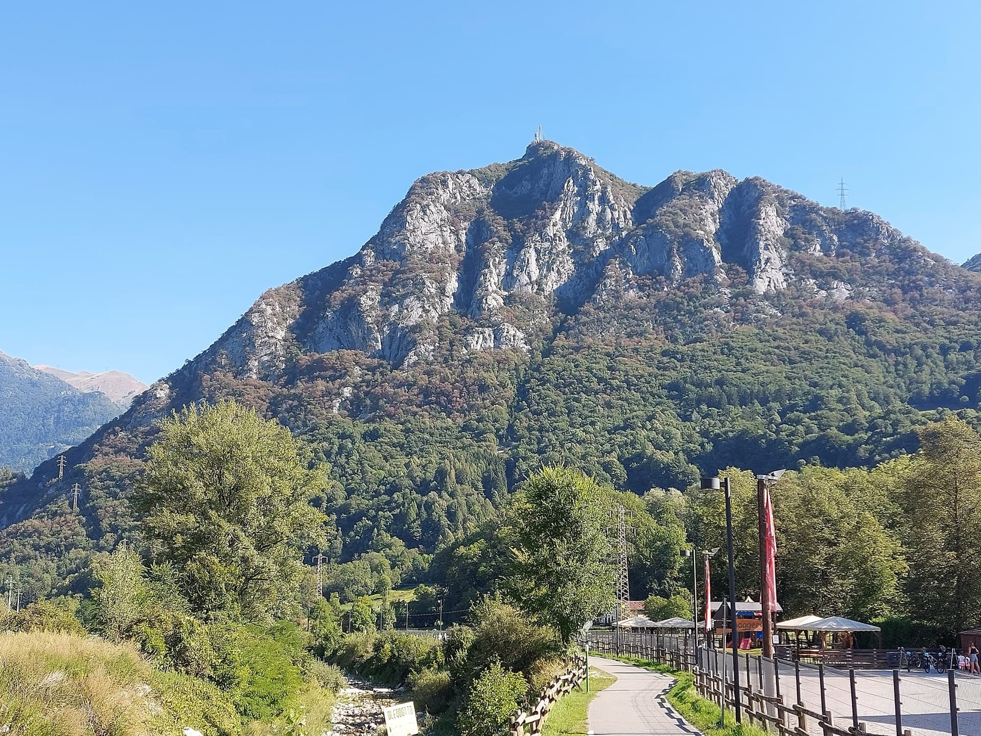
The Zucco dell'Angelone above the Valsassina, seen from Pasturo, with the antenna on its summit. The climbing spurs are the pale limestone ribs on the sunny side of the mountain above Barzio; individual spurs and routes are not marked.

Italy · Lecco & Valsassina

La Lumaca di Vetro

A 1979 Ivan Guerini line up the big slab of the second spur: friction climbing on compact limestone with a few steeper steps, a fine third pitch and a corner to finish. Grades are even, around 5a to 5c, and the bolts are far enough apart that slab confidence matters. You abseil off.

5c6 pitches120 m

Read the cautions

The wall of the Escalera Suiza sector at Escalera Árabe, El Chorro, photographed on an ascent of the neighbouring Blue Line. The line of Los Arcángeles is not marked.

Spain · El Chorro

Los Arcángeles

A friendly six-pitch route that climbs half-way up the Frontales Altas and abseils back down. Most of it is easy, with good rests and some low-angle ground; the crux third pitch takes a neat little arête. It shares its first two short pitches with Blue Line.

5c6 pitches148 m

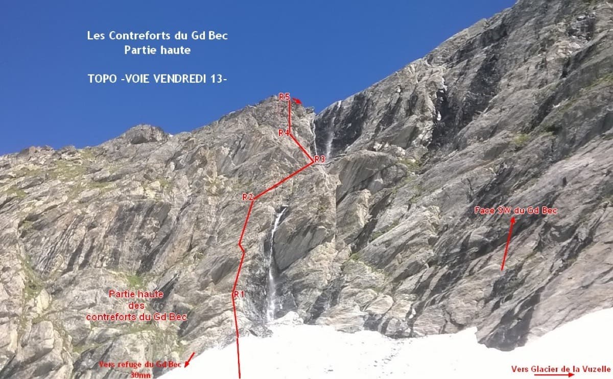
Photo-topo of Vendredi 13 on the upper Contreforts du Grand Bec, with belays R1 to R5

France · Vanoise (Grand Bec)

Vendredi 13

A short, sunny high-mountain route at 2800 m in the Vanoise: five 25 to 30 m pitches of 4b to 5b with one or two moves of 5c that can be pulled through, then an easy scramble. The bolting is generous enough that parties with little experience enjoy it. The setting, below the south-west face of the Grand Bec, is the reason to walk up.

5c6 pitches180 m

Compiled from published sources and last verified October 2026. Bolts, anchors and access change. Climbing is dangerous and you are responsible for your own decisions: check a current topo and read the disclaimer.