Multipitch Atlas

Herzblut

Karlkopf south-west face (Breitlahnerkar), Ginzling · Zillertal · Austria

Bail with caveatsBolting confidence: high

bergsteigen.com counts it among the best easier multipitch routes in the Zillertal and one of the few true plaisir lines there. Six pitches of featured slabs, steep walls studded with quartz crystals and fine flakes, with very little smooth rock. Three pitches reach UIAA 6-.

The upper Zemmtal with Gasthof Breitlahner on the valley floor, the starting point for the Karlkopf routesPhoto: Whgler · CC BY-SA 3.0

Photo

The upper Zemmtal with Gasthof Breitlahner on the valley floor, the starting point for the Karlkopf routesPhoto: Whgler · CC BY-SA 3.0
Hardest pitch
5c
Pitches
6
Length
200 m
Approach
60 min
Aspect
SW
South-west-facing
Rope
2×60 m

The route

Overview

Herzblut climbs the south-west face of the Karlkopf (1848 m), above the Breitlahnerkar and the Ewige Jagdgründe sport crag near Ginzling. Reinhold Gruber and Michl Schragl opened it from below in 2013. The climbing changes between grippy slabs, steep walls dotted with small quartz pebbles and good flakes, and the bolts are close throughout. The grade is UIAA 6-, reached on three of the six pitches. You descend by three abseils beside the route.

The climbing

Pitch by pitch

Pitches of Herzblut
PitchGradeLengthNotes
P15+35 mUIAA 5+. Fine slabs.
P25a47 mUIAA 5-/5. The longest pitch.
P35c35 mUIAA 6-. Slabby, well featured rock.
P45c35 mUIAA 6-. Starts with a crack-flake.
P54b18 mUIAA 4/4+. A short link pitch.
P65c30 mUIAA 6- to the route book. A crack to the right on this pitch belongs to a variant.

Getting there

Approach

To the parking

Drive up the Zillertal past Mayrhofen to Ginzling and continue up the valley to the toll station at Gasthof Breitlahner. Park either at the Breitlahner or, just before it on the right, at the Ewige Jagdgründe crag; both car parks charge a fee. By public transport take the train to Mayrhofen and the bus to Gasthof Breitlahner.

On foot · about 60 min

At the Ewige Jagdgründe crag cross the stream by the suspension bridge to the east bank and walk round the big rock tower called Wig Wam, where a sign points to 'Tulfer'. Cross the fence behind it on iron rungs and go up the left edge of the pasture on a clear path to the forest. Shortly afterwards you reach a T-junction: turn right and follow the path level or slightly downhill for about 300 m. Just before an avalanche track interrupts the forest, turn up left and follow steep zigzags until the Breitlahnerkar opens out; the path fades for the last 20 m of height before the cirque. Above the tree line a good path leads to the start of Herzblut. Allow 1 hour. The start is marked with a heart and the letters 'HB'; theCrag notes that the orange paint is very faded and sits a little left of and below the first bolt. The start is at about 1600 m.

Map of the walk-in

  • Route base
  • Parking

Loading map

The point marks the base of the route.

Coordinates · route base

47.06432, 11.76051

Parking

47.06615, 11.75197

Pay car park at the Ewige Jagdgründe crag, just before Gasthof Breitlahner

Point from bergsteigen.com map marker 'Einstieg (ungefähr)'

For your phone or watch

Download GPX

Contains the route point and parking. Opens in most mapping apps and GPS watches.

Points are compiled from published sources, with the precision stated above. They were not surveyed on the ground: check them against a current topo.

Getting down

Descent

Abseil three times down the piste beside the route, as drawn on the bergsteigen.com topo, then return to the car park by the approach path. bergsteigen.com allows 45 minutes.

Retreat

Bailing off the route

Bail with caveats

The normal descent is three abseils on a piste beside the route, so the abseil stations are not all on the climbing line. The belays on the route are bolted, and Blutwurst parties are told they can leave by Herzblut, so retreat from a belay should work, but it is not described.

Retreat from
Bolted belays; the documented piste starts at the top and runs beside the route.
Point of no return
None documented.
Carry
Two 60 m ropes. Pitch 2 is 47 m, so shorter ropes may not reach from its top.
Basis
Part stated, part inferredThe abseil piste is stated by bergsteigen.com; retreat from intermediate belays is inferred.

Partly inferred from the route facts

Safety

Hazards

  • There are a few hollow flakes on the route. They do not get in the way, but pull on them with care.
  • The piste is beside the climb, so keep track of the abseil stations on the way up.

Sun and weather

Conditions

South-west facing granite gneiss with the start at about 1600 m. The page for the neighbouring Spitfire says the sun reaches this wall at about 11:00 in summer. bergsteigen.com gives 570 m of height in all from the car park to the top. No season is published; June to October is an estimate from the altitude and aspect.

Usual season · Jun to Oct

Sun on the wall · SW-facing

Working out the sunlit hours for this month.

  • January: not yet worked out
  • February: not yet worked out
  • March: not yet worked out
  • April: not yet worked out
  • May: not yet worked out
  • June (usual season): not yet worked out
  • July (usual season): not yet worked out
  • August (usual season): not yet worked out
  • September (usual season): not yet worked out
  • October (usual season): not yet worked out
  • November: not yet worked out
  • December: not yet worked out

Sun on the wallDaylight, wall in shade● Usual season

Estimated from the wall's aspect only. Ignores surrounding terrain, gullies and the wall's exact shape. Clock times are local to the wall (Central European time), for the 15th of each month.

Monthly climate averages for Zillertal, 1991-2020
MeasureJanFebMarAprMayJun (usual season)Jul (usual season)Aug (usual season)Sep (usual season)Oct (usual season)NovDec
Mean daily high °C−11471217191915104−0
Mean daily low °C−9−8−5−2279951−4−8
Rain days 1 mm or more121215162021201814121313

● marks the usual climbing season. Averages for 1991-2020 at about 1432 m. Area climate from Open-Meteo reanalysis. Temperatures are adjusted to the height of the crag; rain comes from a grid cell of about 10 to 25 km, and summer highs on sea cliffs can read a few degrees low. The wall and valley can differ. Data: Open-Meteo, CC BY 4.0.

What to carry

Gear

2×60 m double ropes, 12 quickdraws and a helmet. No nuts or cams.

Checklist

Quickdraws
12
Rope
2×60 m
Helmet
One each
Abseil device and prusik
The descent or the retreat involves abseiling

Derived from the route data; check it against a current topo

From climbers

Reader reports

Reader reports are not being collected yet. Until they are, check a current topo and the local club or guidebook publisher for recent changes to Herzblut.

Worth knowing

Tips

  • Blutwurst starts about 50 m higher, crosses Herzblut at the entrance to a cleft and ends at the same point; Spitfire starts 10 m left of Herzblut and Lehrerausflug starts lower down. Together they make the Karlkopf the easiest place in the Zillertal for moderate bolted multipitch climbing.
  • The Ewige Jagdgründe sport crag is at the car park for the rest of the day.

Open questions

Where sources disagree

  • Pitch grades and lengths come from theCrag (six pitches: 5+, 5-/5, 6-, 6-, 4/4+, 6-); the bergsteigen.com topo is behind a login. A web search summary quoted a second, eight-pitch list for this crag, which is the neighbouring route Blutwurst.
  • Rock: the Zillertal crags are described as granite or granite gneiss depending on the source.
  • theCrag files the crag under a 'south' aspect; bergsteigen.com gives south-west.

Provenance

Sources

Same area

More in Zillertal

All routes in Zillertal
Slab climbing at the Ewige Jagdgründe crag near Ginzling in the Zillertal; the Wiegelwand is the wall above this sector and is not in the picture.

Austria · Zillertal

Schwarzer Teufel

A slab route on the left side of the Wiegelwand with steep passages on small edges; UIAA 7/7+ at the crux on pitch 3, 6 to 6+ obligatory. The easier pitches are a bit grassy. Often wet, so look from below first.

6b+5 pitches110 m
A view of the region, not this route's wall. Slab climbing at the Ewige Jagdgründe crag near Ginzling in the Zillertal; the Wiegelwand is the wall above this sector and is not in the picture.

Austria · Zillertal

Blutwurst

The second plaisir route on the Karlkopf, ending at the same point as Herzblut. It starts on grippy slabs, then follows a cleft in the mountain that closes into a chimney: you climb two short pitches inside the rock. One pitch of UIAA 6+ lower down is the crux.

6a+8 pitches205 m

A view of the region, not this route's wall. Slab climbing at the Ewige Jagdgründe crag near Ginzling in the Zillertal; the Wiegelwand is the wall above this sector and is not in the picture.

Austria · Zillertal

Jakobsweg

Twelve long pitches of slab climbing up an unremarkable-looking wall near the Klausenalm, getting harder towards the top. The length, the bolting and the short approach are rare in the Eastern Alps. The price is the descent: a steep, rough scramble and four abseils that the sources call delicate.

5c+12 pitches570 m

Read the cautions

A view of the region, not this route's wall. Slab climbing at the Ewige Jagdgründe crag near Ginzling in the Zillertal; the Wiegelwand is the wall above this sector and is not in the picture.

Austria · Zillertal

Alpiner Spätaufsteher

A granite slab route beside a washed-out stream bed and a small waterfall, described as the new slab classic of the Zillertal. Mostly around UIAA 5 on fine slabs, with short harder passages and a 6/6+ exit. Never very exposed, with a view of the 3000 m peaks.

6a7 pitches255 m

Around 5c · about 6 pitches

Similar elsewhere

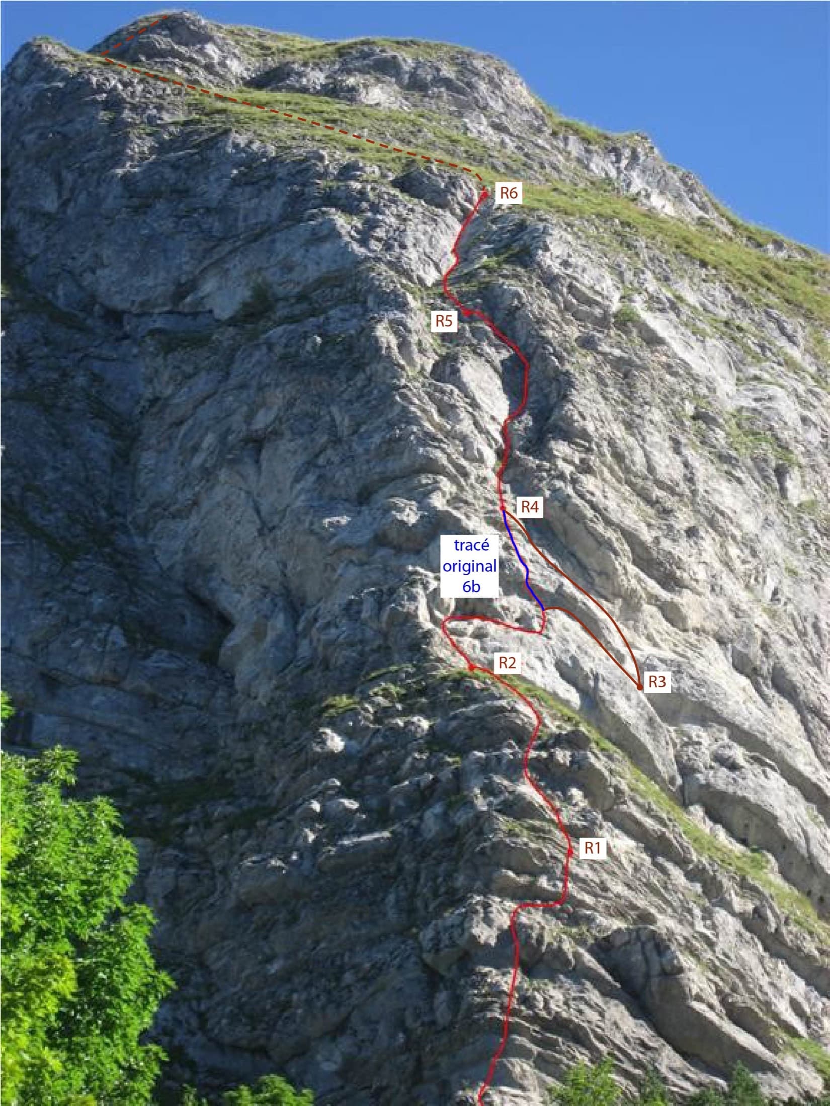
Photo-topo of Ace of Spades on the Dent de Jaman: the 2015 line in red, the original 6b variant in blue and the approximate summit exit dashed

Switzerland · Vaud Alps

Ace of Spades

Six short pitches up the west edge of the pillar on the Dent de Jaman, the limestone tooth above Montreux, with Lake Geneva at your back. Slopers low down, a delicate traverse, then a fine slab and two good corner pitches. Hugely popular, a short walk from a mountain railway halt.

5c6 pitches120 m

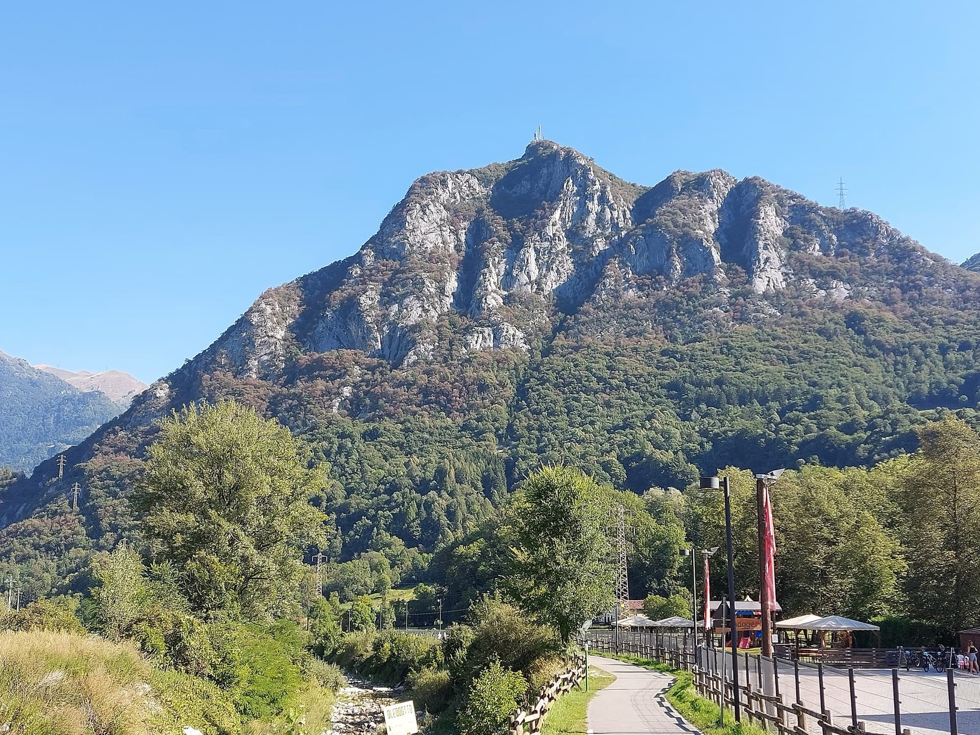
The Zucco dell'Angelone above the Valsassina, seen from Pasturo, with the antenna on its summit. The climbing spurs are the pale limestone ribs on the sunny side of the mountain above Barzio; individual spurs and routes are not marked.

Italy · Lecco & Valsassina

La Lumaca di Vetro

A 1979 Ivan Guerini line up the big slab of the second spur: friction climbing on compact limestone with a few steeper steps, a fine third pitch and a corner to finish. Grades are even, around 5a to 5c, and the bolts are far enough apart that slab confidence matters. You abseil off.

5c6 pitches120 m

Read the cautions

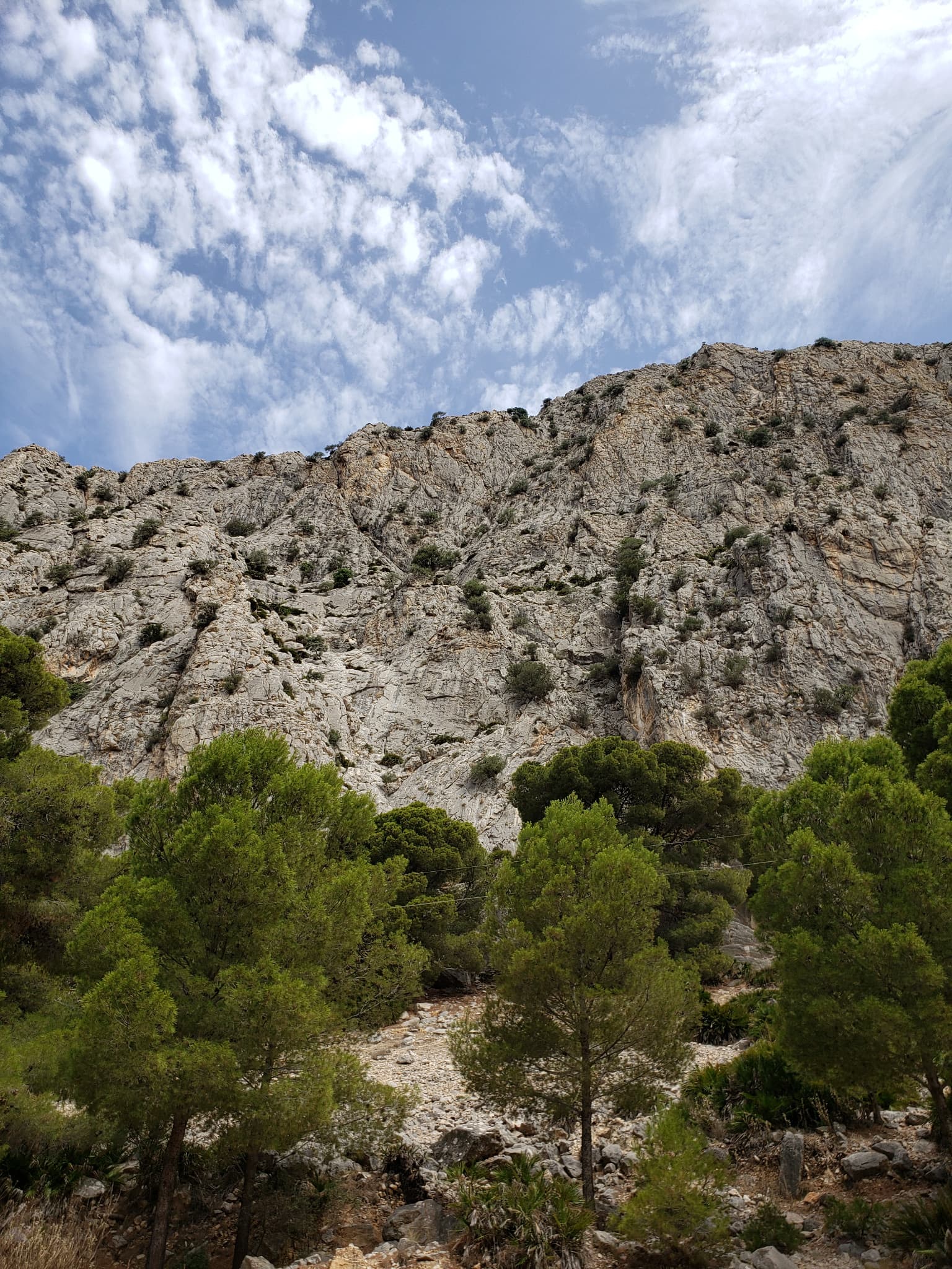
The wall of the Escalera Suiza sector at Escalera Árabe, El Chorro, photographed on an ascent of the neighbouring Blue Line. The line of Los Arcángeles is not marked.

Spain · El Chorro

Los Arcángeles

A friendly six-pitch route that climbs half-way up the Frontales Altas and abseils back down. Most of it is easy, with good rests and some low-angle ground; the crux third pitch takes a neat little arête. It shares its first two short pitches with Blue Line.

5c6 pitches148 m

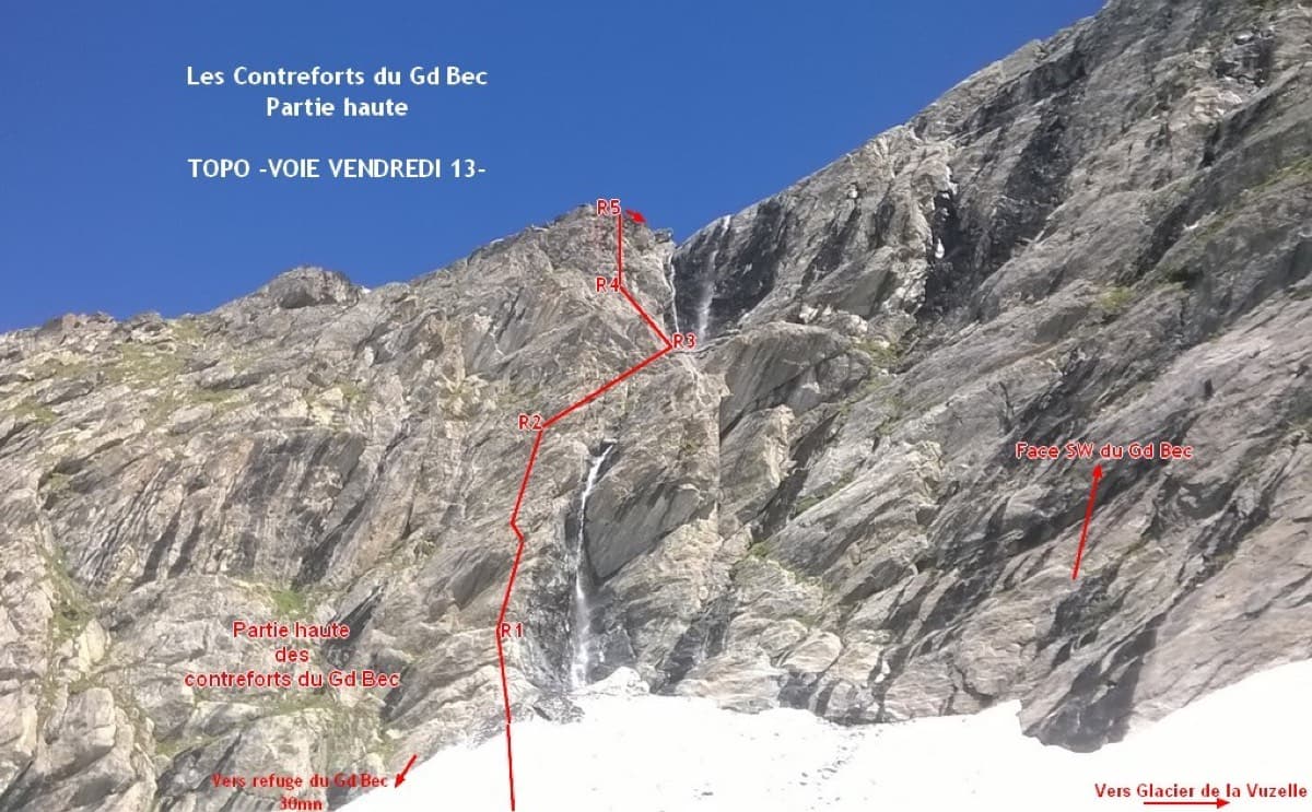
Photo-topo of Vendredi 13 on the upper Contreforts du Grand Bec, with belays R1 to R5

France · Vanoise (Grand Bec)

Vendredi 13

A short, sunny high-mountain route at 2800 m in the Vanoise: five 25 to 30 m pitches of 4b to 5b with one or two moves of 5c that can be pulled through, then an easy scramble. The bolting is generous enough that parties with little experience enjoy it. The setting, below the south-west face of the Grand Bec, is the reason to walk up.

5c6 pitches180 m

Compiled from published sources and last verified October 2026. Bolts, anchors and access change. Climbing is dangerous and you are responsible for your own decisions: check a current topo and read the disclaimer.