Multipitch Atlas

Alpiner Spätaufsteher

Waterfall slabs below the Plattkopf, Zillergrund (above Bärenbad) · Zillertal · Austria

Bail with caveatsBolting confidence: medium

A granite slab route beside a washed-out stream bed and a small waterfall, described as the new slab classic of the Zillertal. Mostly around UIAA 5 on fine slabs, with short harder passages and a 6/6+ exit. Never very exposed, with a view of the 3000 m peaks.

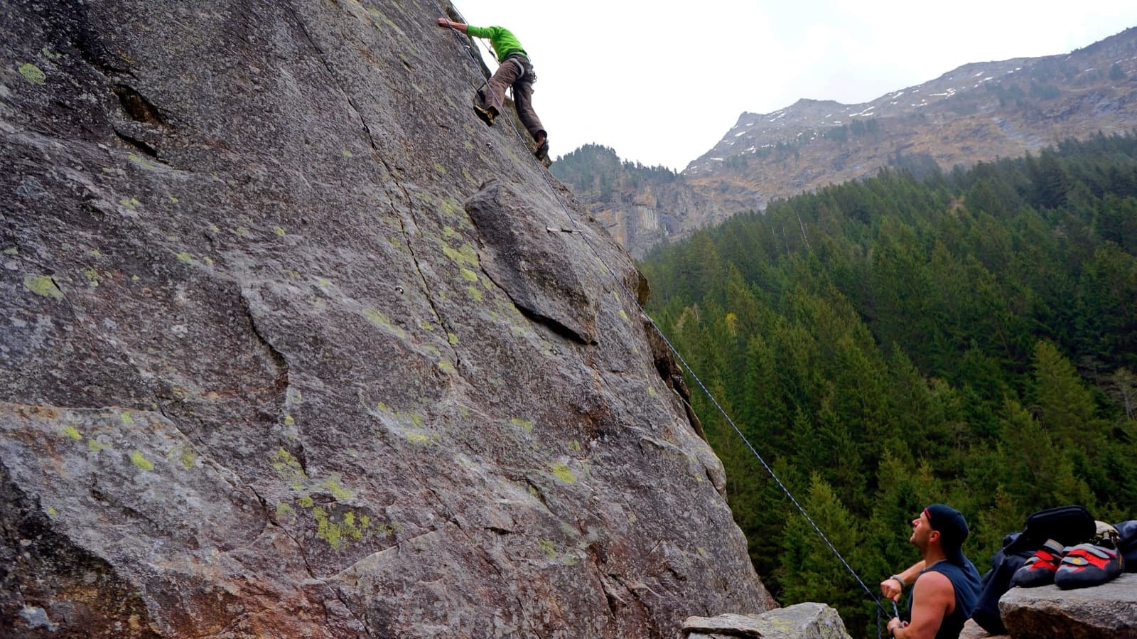
A view of the region, not this route's wall. Slab climbing at the Ewige Jagdgründe crag near Ginzling in the Zillertal; the Wiegelwand is the wall above this sector and is not in the picture.Photo: Fuchs Robert · CC BY 3.0

Photo

A view of the region, not this route's wall. Slab climbing at the Ewige Jagdgründe crag near Ginzling in the Zillertal; the Wiegelwand is the wall above this sector and is not in the picture.Photo: Fuchs Robert · CC BY 3.0
Hardest pitch
6a
Pitches
7
Length
255 m
Approach
60 min
Aspect
SW
South-west-facing
Rope
2×60 m

The route

Overview

Maria Huber and Heinz Neumeyer bolted this route in 2015 on the slabs below the Plattkopf (2594 m), high in the Zillergrund above Gasthof Bärenbad. The first pitch is a good slab, an easier pitch and a grassy pitch follow, and then a headwall gives four pitches of slabs, corners and featured rock. The hard passages are short: 6- and 6 here and there, and 6/6+ at the exit, which is often wet but can be aided. The route needs a long dry spell and no snow above it. You walk off.

The climbing

Pitch by pitch

Pitches of Alpiner Spätaufsteher
PitchGradeNotes
P1–Good slab climbing.
P2–An easier pitch.
P3–A grassy pitch leading to the headwall.
P4–First headwall pitch: slabs, corners and featured slabs alternate on the four headwall pitches.
P5–Headwall; fine slabs in the middle part of the route.
P6–Headwall, the second-to-last pitch.
P76aThe last pitch, with the 6/6+ crux at the exit on the edge. It is often wet; bergsteigen.com says it is easy to aid.

Getting there

Approach

To the parking

Leave the A12 at the Zillertal exit and follow the B169 towards Mayrhofen. Just before the town turn left towards Brandberg; after the tunnel turn left onto the toll road into the Zillergrund. By public transport take the train to Mayrhofen and the bus into the Zillergrund. Continue to Gasthof Bärenbad (1450 m) below the dam and park before the barrier. The bus stop for this route is the Steinbockwelt (ibex enclosure).

On foot · about 60 min

From the car park before the barrier take the track on the right to the Bärenbadalm and follow the hiking path up left towards the Plauener Hütte. You cross the road, zigzag on, and meet the road again at the level of the tunnel, which starts as a gallery, left of the ibex enclosure. Go left to the gallery, pass it on the outside and traverse level on a grassy forest track to the rocks. Then climb along the small stream bed to the start at about 1850 m. Allow 1 hour. With a mountain bike or e-bike you can ride almost to the start; you need a light for a long tunnel.

Map of the walk-in

  • Route base
  • Parking

Loading map

The point marks the base of the route.

Coordinates · route base

47.12610, 12.05560

Parking

47.12170, 12.03900

Car park at Gasthof Bärenbad below the Zillergründl dam (toll road)

Point from bergsteigen.com map marker 'Einstieg'

For your phone or watch

Download GPX

Contains the route point and parking. Opens in most mapping apps and GPS watches.

Points are compiled from published sources, with the precision stated above. They were not surveyed on the ground: check them against a current topo.

Getting down

Descent

From the exit on the edge go left through a lane in the dwarf pines to a group of trees. Continue a little and descend through the pines, watching for cut branches, which show the way. You reach a grass gully and descend it steeply for some time. Where the gully narrows, go left through another lane in the pines towards the start, descend briefly in the forest and traverse to the forest track below the start. Do not abseil the route because of stonefall danger.

Retreat

Bailing off the route

Bail with caveats

bergsteigen.com says abseiling is possible but not advisable when other parties are on the route, because of stonefall, and that the normal descent is on foot. If you are alone on the route, a retreat down the bolted belays with two ropes should work.

Retreat from
Bolted belays (how they are rigged is not stated).
Point of no return
Not documented. The crux is the very last passage and can be aided, so finishing is usually easier than retreating from the headwall.
Carry
Two 60 m ropes; maillons and cord in case the belays have no abseil rings.
Basis
Part stated, part inferredAbseiling 'possible but not advisable' is stated; the belay rigging is not.

Partly inferred from the route facts

Safety

Hazards

  • Avalanche danger and meltwater from above while snow remains: do not go too early in the season.
  • Stonefall onto parties below if you abseil; the sources say to walk off.
  • The descent gully is steep grass and is unpleasant when wet (inferred from the description).
  • The tunnel on the road is closed to walkers, according to the page for the neighbouring Bärenbadwand; use the hiking path.

Sun and weather

Conditions

South-west facing, start at about 1850 m. The route needs a longer dry period and no snow above it; early in the year there is meltwater and avalanche danger from above. The neighbouring Pink 2015 page advises a late start so the slabs can dry. A good choice for hot days.

Usual season · Jul to Oct

Sun on the wall · SW-facing

Working out the sunlit hours for this month.

  • January: not yet worked out
  • February: not yet worked out
  • March: not yet worked out
  • April: not yet worked out
  • May: not yet worked out
  • June: not yet worked out
  • July (usual season): not yet worked out
  • August (usual season): not yet worked out
  • September (usual season): not yet worked out
  • October (usual season): not yet worked out
  • November: not yet worked out
  • December: not yet worked out

Sun on the wallDaylight, wall in shade● Usual season

Estimated from the wall's aspect only. Ignores surrounding terrain, gullies and the wall's exact shape. Clock times are local to the wall (Central European time), for the 15th of each month.

Monthly climate averages for Zillertal, 1991-2020
MeasureJanFebMarAprMayJunJul (usual season)Aug (usual season)Sep (usual season)Oct (usual season)NovDec
Mean daily high °C−11471217191915104−0
Mean daily low °C−9−8−5−2279951−4−8
Rain days 1 mm or more121215162021201814121313

● marks the usual climbing season. Averages for 1991-2020 at about 1432 m. Area climate from Open-Meteo reanalysis. Temperatures are adjusted to the height of the crag; rain comes from a grid cell of about 10 to 25 km, and summer highs on sea cliffs can read a few degrees low. The wall and valley can differ. Data: Open-Meteo, CC BY 4.0.

What to carry

Gear

60 m double ropes, 12 quickdraws and a helmet. No nuts.

Checklist

Quickdraws
12
Rope
2×60 m
Helmet
One each
Abseil device and prusik
The descent or the retreat involves abseiling
Maillons or spare karabiners
To leave behind if you retreat
Cord
Mentioned for retreat

Derived from the route data; check it against a current topo

From climbers

Reader reports

Reader reports are not being collected yet. Until they are, check a current topo and the local club or guidebook publisher for recent changes to Alpiner Spätaufsteher.

Worth knowing

Tips

  • Pink 2015 (7-) and Gebrochene Rippe (7) share the start area and the descent, with the same plaisir bolting.
  • A bike saves most of the approach and descent.

Open questions

Where sources disagree

  • Single detailed source that could be opened. A web search summary of theCrag's entry for this sector reported seven pitches from 3- to 6+, advice not to start before midday because water runs over the slabs at night, and an A0 exit; the theCrag page itself could not be opened, so none of that is used as a value here.
  • The pitch count of 7 is inferred from the bergsteigen.com text (one slab pitch, one easier pitch, one grassy pitch, four headwall pitches). The topo is behind a login.
  • Protection: the header says 'good', the text 'perfect' and 'almost plaisir'.
  • Descent time: 1 h 30 in the header for this route against 1 h 15 for Pink 2015, which uses the same descent.
  • Abseiling: the descent field says not to abseil because of stonefall; the remarks say abseiling is possible but not advisable when others are on the route.

Provenance

Sources

Same area

More in Zillertal

All routes in Zillertal
Slab climbing at the Ewige Jagdgründe crag near Ginzling in the Zillertal; the Wiegelwand is the wall above this sector and is not in the picture.

Austria · Zillertal

Schwarzer Teufel

A slab route on the left side of the Wiegelwand with steep passages on small edges; UIAA 7/7+ at the crux on pitch 3, 6 to 6+ obligatory. The easier pitches are a bit grassy. Often wet, so look from below first.

6b+5 pitches110 m
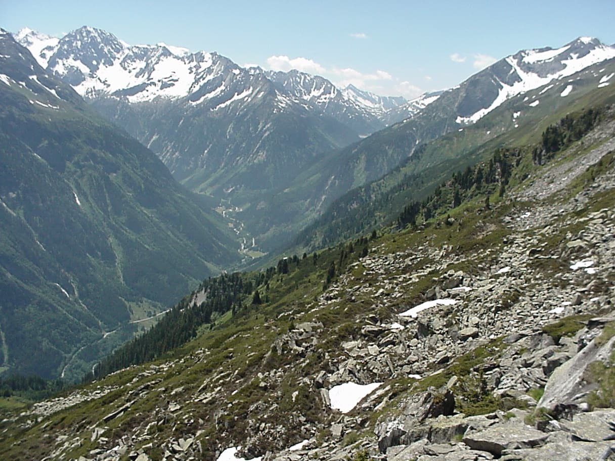
The upper Zemmtal with Gasthof Breitlahner on the valley floor, the starting point for the Karlkopf routes

Austria · Zillertal

Herzblut

bergsteigen.com counts it among the best easier multipitch routes in the Zillertal and one of the few true plaisir lines there. Six pitches of featured slabs, steep walls studded with quartz crystals and fine flakes, with very little smooth rock. Three pitches reach UIAA 6-.

5c6 pitches200 m

A view of the region, not this route's wall. Slab climbing at the Ewige Jagdgründe crag near Ginzling in the Zillertal; the Wiegelwand is the wall above this sector and is not in the picture.

Austria · Zillertal

Blutwurst

The second plaisir route on the Karlkopf, ending at the same point as Herzblut. It starts on grippy slabs, then follows a cleft in the mountain that closes into a chimney: you climb two short pitches inside the rock. One pitch of UIAA 6+ lower down is the crux.

6a+8 pitches205 m

A view of the region, not this route's wall. Slab climbing at the Ewige Jagdgründe crag near Ginzling in the Zillertal; the Wiegelwand is the wall above this sector and is not in the picture.

Austria · Zillertal

Jakobsweg

Twelve long pitches of slab climbing up an unremarkable-looking wall near the Klausenalm, getting harder towards the top. The length, the bolting and the short approach are rare in the Eastern Alps. The price is the descent: a steep, rough scramble and four abseils that the sources call delicate.

5c+12 pitches570 m

Read the cautions

Around 6a · about 7 pitches

Similar elsewhere

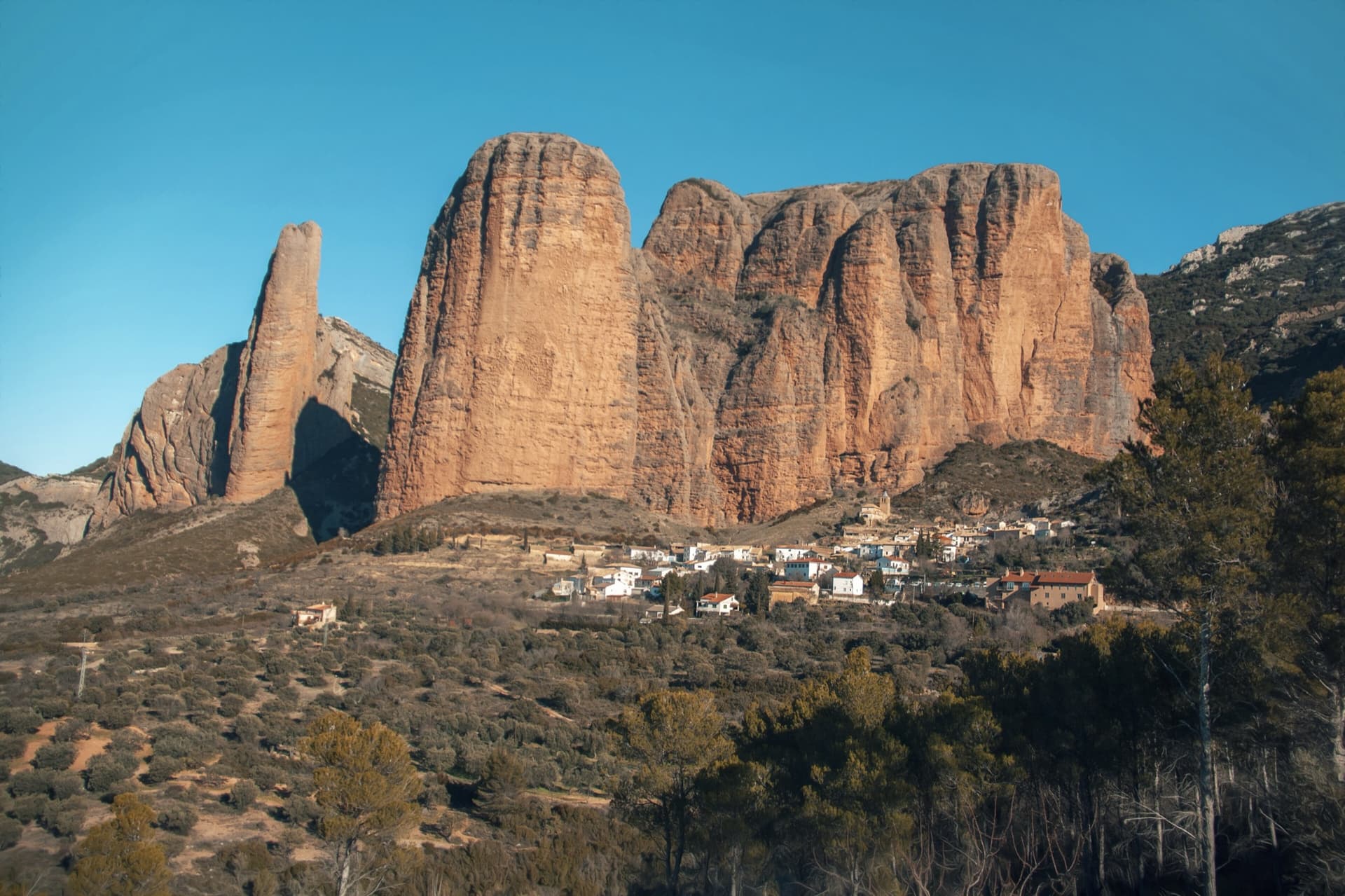
The classic view of Riglos from the south-west: the slender pinnacle of El Puro on the left, the great dome of Mallo Pisón beside it, and the main wall running right to La Visera above the village.

Spain · Riglos & Agüero (Mallos)

Espolón del Adamelo

This is the gentlest way to sample Riglos. Polished pockets and two bulging 'panzas' lead to a 6a crux that can be pulled through on the bolts (A0). The upper spur is easy, and the Pisón towers loom close by.

6a7 pitches175 m

Read the cautions

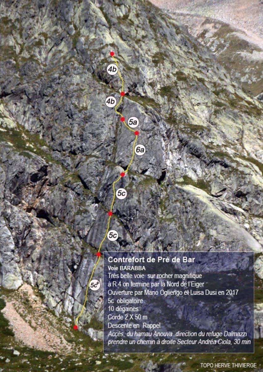
Topo of Barabba on the Contrefort de Pré de Bar, Val Ferret

Italy · Aosta Valley

Barabba

A pretty plaisir route on edgy, quartz-studded granite slabs beneath the Mont Blanc massif. The crux is a short bulge and steep juggy wall on P4. Camptocamp rates it 'great'.

6a7 pitches180 m

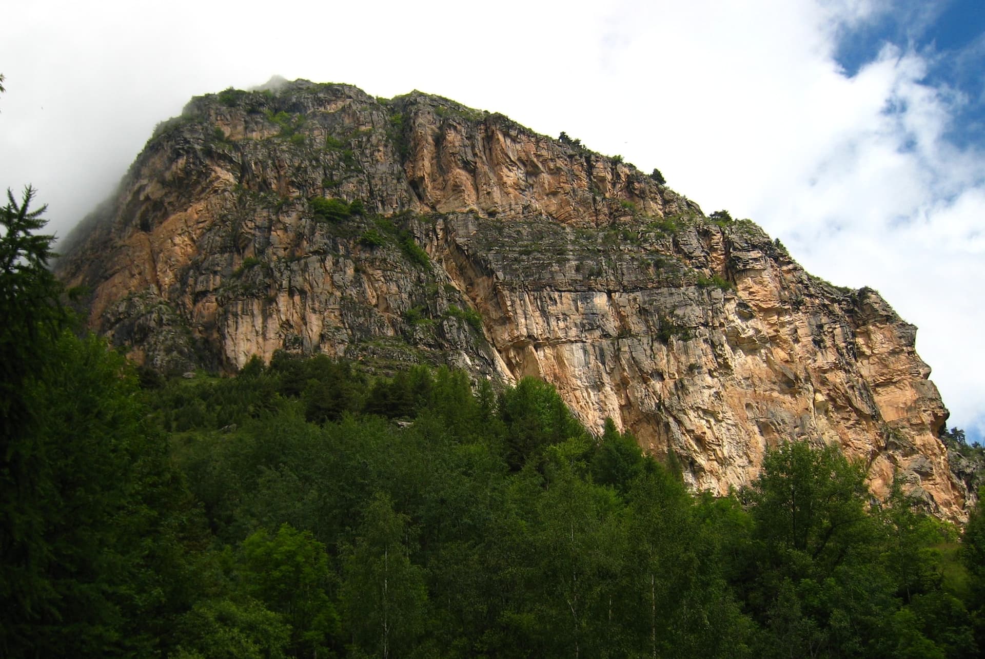
The multipitch wall of Le Ponteil above Champcella

France · Briançonnais

La diagonale de gauche

The gentlest way up the big limestone wall of Le Ponteil: short walls and slabs that slant leftwards across the south-west facet, with a ledge walk in the middle. Most of it is 4b to 5c on very featured rock; one well-bolted move round a block gives the 6a. It gets better as it goes, and pitches 4 and 6 are the ones people remember.

6a7 pitches200 m

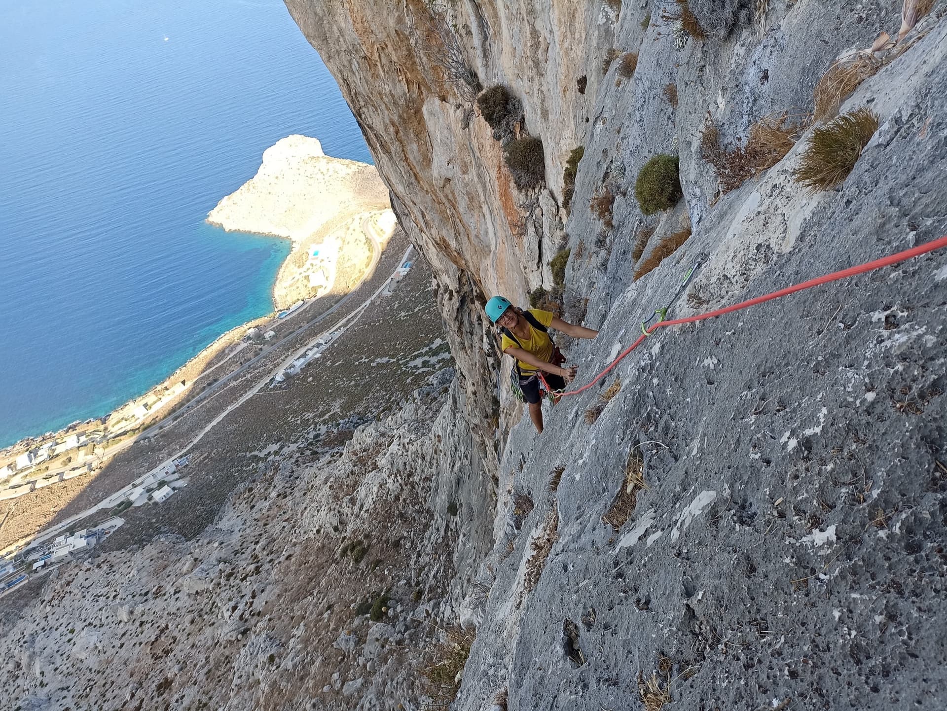
High on Lost Goat on the Olympic Wall: a climber on water-worn grey limestone with the Kalymnos coast far below.

Greece · Kalymnos & Telendos

Lost Goat

A mountain-style outing high above Masouri, with a delicate traversing 6a on P4 and a lovely final corner. Most pitches feel easy for their grade, but the route is loose in places, so wear a helmet.

6a7 pitches170 m

Compiled from published sources and last verified October 2026. Bolts, anchors and access change. Climbing is dangerous and you are responsible for your own decisions: check a current topo and read the disclaimer.