Multipitch Atlas

La diagonale de gauche

Le Ponteil (Champcella) · Briançonnais · France

Bail with caveatsBolting confidence: medium

The gentlest way up the big limestone wall of Le Ponteil: short walls and slabs that slant leftwards across the south-west facet, with a ledge walk in the middle. Most of it is 4b to 5c on very featured rock; one well-bolted move round a block gives the 6a. It gets better as it goes, and pitches 4 and 6 are the ones people remember.

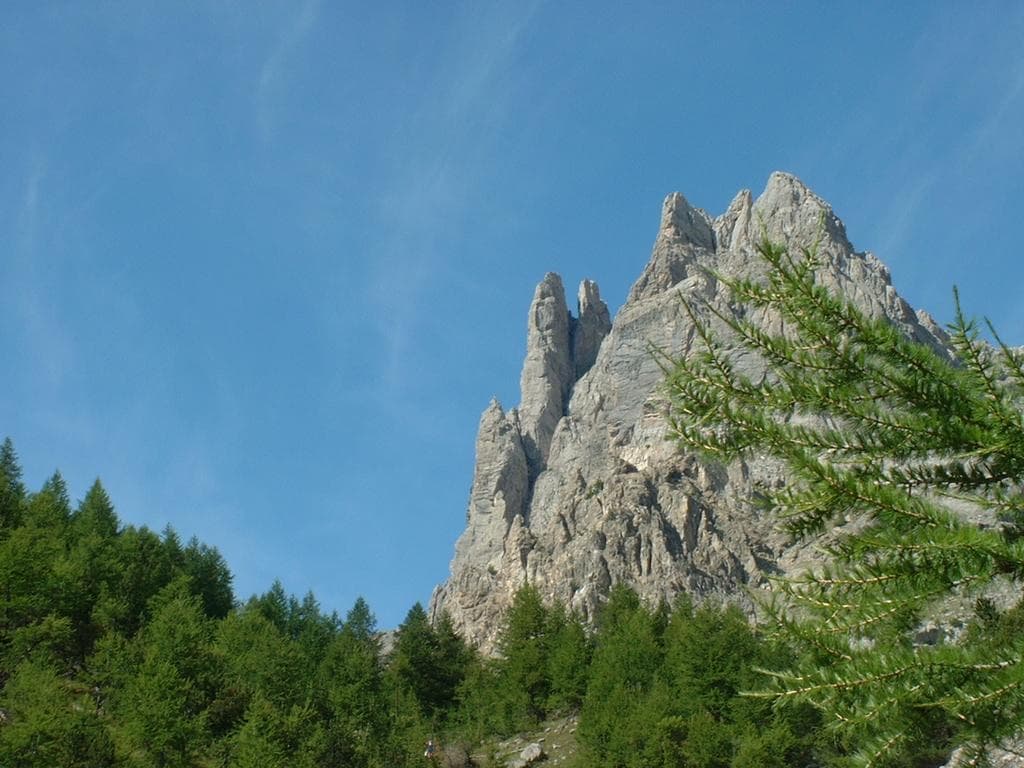
The multipitch wall of Le Ponteil above ChampcellaPhoto: Thomas Ribière · CC BY-SA 3.0

Photo

The multipitch wall of Le Ponteil above ChampcellaPhoto: Thomas Ribière · CC BY-SA 3.0
Hardest pitch
6a
Pitches
7
Length
200 m
Approach
15 min
Aspect
SW
South-west-facing
Rope
2×50 m
or a 70 m single

The route

Overview

Le Ponteil is the orange and grey limestone wall above the hamlet of the same name, on the Champcella side of the Durance valley south of L'Argentière-la-Bessée. La diagonale de gauche, opened in 1980, takes a rising line leftwards across its south-west facet and is the usual first route here. The climbing is discontinuous: two pillars, a ramp, slabs, a ledge traverse and then the crux pitch, where a single 6a move round a big block is well protected and can be aided. The rock is not polished, unlike some of the wall's other easy classics. You finish on a ledge system and abseil the Tour des Anges line.

The climbing

Pitch by pitch

Pitches of La diagonale de gauche
PitchGradeBoltsNotes
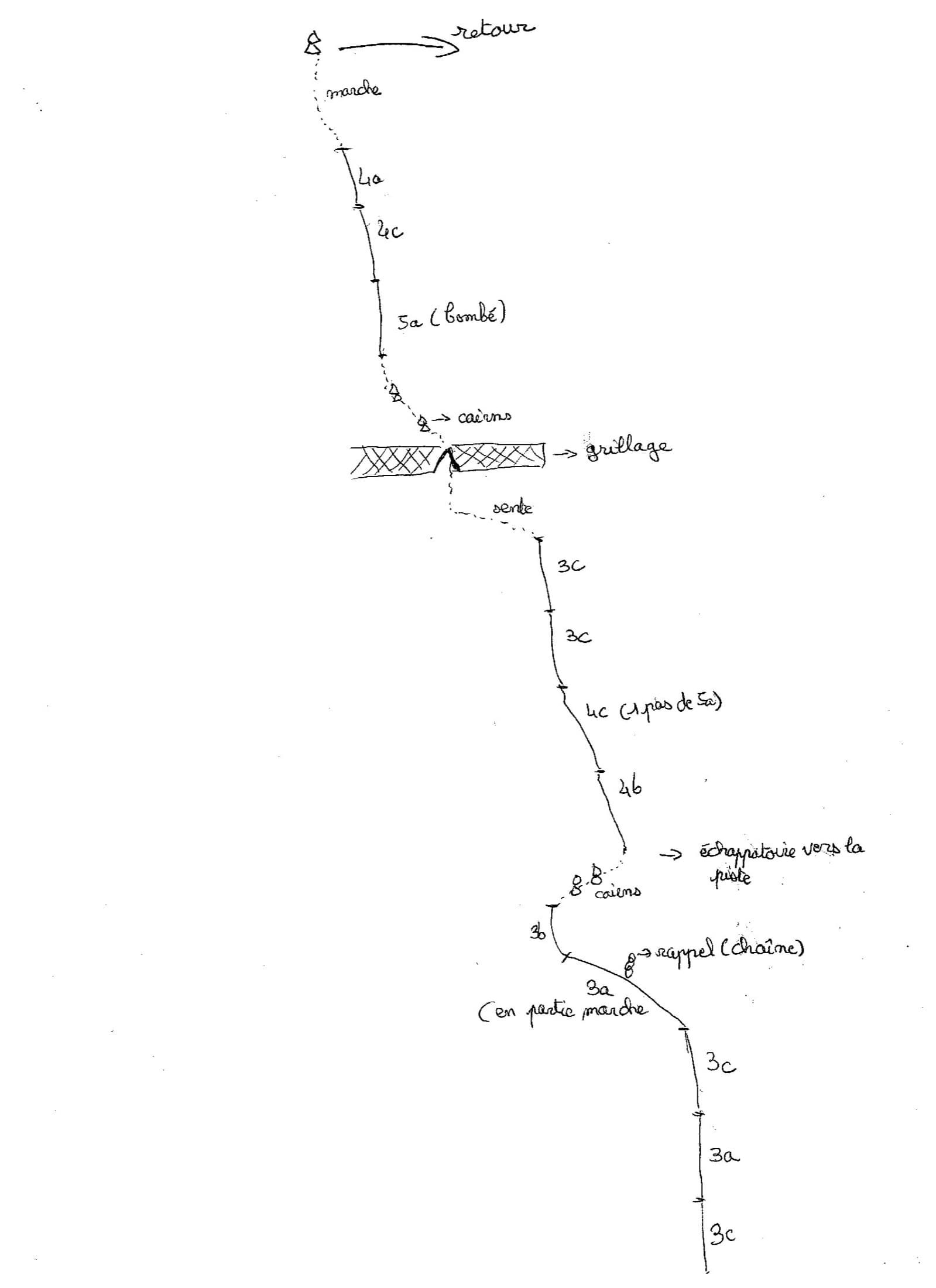
P15b+–A slightly strenuous pillar, an easier second one, then a succession of small slabs to the belay. Gulliver grades it 5c.
P24b–Another pillar, left by its right-hand side to a belay on the ground. A steeper, well-bolted wall can be climbed instead at about 5c. Do not stop at the first belay of the route to the left.
P34b–A ramp slanting left on very featured rock. Do not be drawn into the bolted cracks straight above, which are other routes at 6a+ and 7a.
P45c–Successive slabs trending left, with one move in the middle that can be avoided on the left and another before the belay, left of a tree. Airy.
P521 boltsWalk left along the ledge, with one bolt half-way, to a two-bolt belay at the foot of the crux pitch. Do not skip this belay or the drag on the next pitch becomes severe.
P66a–Slant up left to a boulder-problem move round a big block, well protected and aidable. Continue along the slanting ledge and leave it before a bush to climb a steep grey slab straight up to the belay.
P75b–A small corner on the left leads to an optional belay; continue through vegetation and junipers to the final belay.

Getting there

Approach

To the parking

From L'Argentière-la-Bessée or La Roche-de-Rame drive up to Champcella and on towards Le Ponteil. Park before the hamlet at the bridge over the Tramouillon stream; there is more room at the upper hamlet, 15 minutes from the route. L'Argentière-la-Bessée has a railway station on the Briançon line, but there is no public transport to Champcella.

On foot · about 15 min

10 to 15 minutes. The path starts just before the bridge over the Tramouillon. Follow it to the bed of a small dry stream and, just before crossing it, take a path on the right that climbs to the wall and arrives 15 m right of the route. The start is between 'L'affaire r'tourne au sol' and 'Le Clos Tramouillon', with 'DG' scratched at the foot; Le Clos Tramouillon takes the corner on the right and has its name painted at the base.

Map of the walk-in

  • Crag
  • Parking

Loading map

The point marks the crag, not the exact start of the route.

Coordinates · crag

44.71271, 6.56447

Parking

44.70972, 6.56917

Le Ponteil, parking by the Tramouillon bridge (camptocamp waypoint 150597)

Point from camptocamp waypoint 42395 (Le Ponteil)

For your phone or watch

Download GPX

Contains the route point and parking. Opens in most mapping apps and GPS watches.

Points are compiled from published sources, with the precision stated above. They were not surveyed on the ground: check them against a current topo.

Getting down

Descent

Follow the ledge leftwards (facing in) for 100 to 200 m on a faint path to the obvious abseil station of the Tour des Anges. Two abseils reach the ground: a 2016 party measured 50 m and 35 m, gulliver gives 30 m and 35 m, and camptocamp says they can be joined in one with 60 m ropes. The second abseil hangs free below a big overhang. Then go down the ledge and along the foot of the wall, with some fixed ropes, back to the start.

Retreat

Bailing off the route

Bail with caveats

No source describes retreating down the route, and its leftward diagonal line makes abseiling the upper pitches awkward. Belays are bolted, and the first three pitches go more or less straight up short pillars, so a retreat from there on two ropes is reasonable. From the ledge of pitch 5 you are on the terrace system that leads left towards the abseils.

Retreat from
Belays 1 to 3 by abseil (inferred). The ledge at pitch 5 is a walking ledge; whether it connects all the way to the Tour des Anges abseils below the last two pitches is not stated.
Point of no return
Not documented. After the traverse and the diagonal crux pitch, finishing is simpler than reversing; the crux can be aided.
Carry
Two ropes, plus a maillon or karabiner to leave, since the route belays are not described as equipped for abseiling.
Basis
Inferred from the route factsCamptocamp and gulliver describe only the normal descent by the Tour des Anges abseils; the retreat options are inferred from the pitch descriptions.

Partly inferred from the route facts

Safety

Hazards

  • Peregrine falcons nest on the right-hand part of the Tour des Anges sector. In 2025 several routes there were closed until 5 June and the three-abseil line from the summit of the wall was not to be used. The two abseils used for this route are in the same sector, so check the current Écrins National Park notice before you go.
  • The second abseil is free-hanging under a large overhang: knot the rope ends and make sure they reach.
  • Several bolted lines cross the route; on pitches 2 and 3 parties regularly stray onto harder neighbours.
  • Bolts are spaced on the easy first two pitches.

Sun and weather

Conditions

South-west facing at about 1450 to 1740 m, climbable from April to November and on fine winter days: one camptocamp ascent is dated 23 February. It is hot on summer afternoons. Allow 2 to 3 hours on the route and about 45 minutes for the descent.

Usual season · Apr to Nov

Sun on the wall · SW-facing

Working out the sunlit hours for this month.

  • January: not yet worked out
  • February: not yet worked out
  • March: not yet worked out
  • April (usual season): not yet worked out
  • May (usual season): not yet worked out
  • June (usual season): not yet worked out
  • July (usual season): not yet worked out
  • August (usual season): not yet worked out
  • September (usual season): not yet worked out
  • October (usual season): not yet worked out
  • November (usual season): not yet worked out
  • December: not yet worked out

Sun on the wallDaylight, wall in shade● Usual season

Estimated from the wall's aspect only. Ignores surrounding terrain, gullies and the wall's exact shape. Clock times are local to the wall (Central European time), for the 15th of each month.

Climate figures for Briançonnais are not available yet

What to carry

Gear

12 quickdraws and a 50 m abseil rope according to camptocamp, which in practice means two 50 m ropes; gulliver did it on a 70 m single with two abseils. Medium cams (about 0.75 to 2) can supplement the lower pitches but are not required. Helmet.

Checklist

Quickdraws
12
Rope
2×50 m (or a 70 m single)
Helmet
One each
Abseil device and prusik
The descent or the retreat involves abseiling
Maillons or spare karabiners
To leave behind if you retreat

Derived from the route data; check it against a current topo

From climbers

Reader reports

Reader reports are not being collected yet. Until they are, check a current topo and the local club or guidebook publisher for recent changes to La diagonale de gauche.

Worth knowing

Tips

  • The grades feel uneven: parties have found one of the 4b pitches nearer 5b and the 6a soft.
  • Pitches 4 and 6 are the best; the first two are just a way of gaining height.
  • On the last pitch one party preferred to climb straight up before the stony ledge and abseil from there, for which a 60 m rope helps.

Open questions

Where sources disagree

  • Grades: camptocamp gives 5b+, 4b, 4b, 5c, walk, 6a/A0, 5b; gulliver gives 5c, 4c, 5c, 5c, easy, 6a, 5c.
  • Length: 120 m of difficulties on camptocamp against 200 m of climbing on gulliver, which counts the traverses.
  • Abseil lengths: 50 m and 35 m (2016 camptocamp report), 30 m and 35 m (gulliver), or a single abseil with 60 m ropes (camptocamp).
  • Distance along the ledge to the abseils: about 200 m in the French camptocamp text, about 300 m in the Spanish one and a little under 100 m on gulliver.
  • Aspect: south-west on camptocamp, south on gulliver.

Provenance

Sources

Same area

More in Briançonnais

All routes in Briançonnais
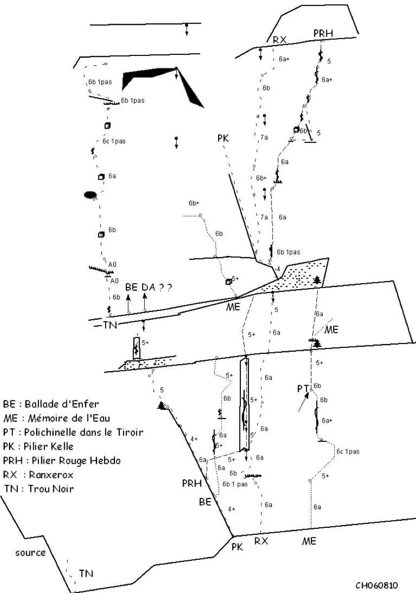
Sketch topo of the Ranxerox sector of the Tête d'Aval; La mémoire de l'eau is the line marked ME

France · Briançonnais

La mémoire de l'eau

One of the most admired lines on the Tête d'Aval: eleven sustained pitches, first up steep cracks and walls, then across orange limestone studded with small spikes. The grade is 6c with a 6c+ passage that has a fixed sling for aid, and 6b is obligatory. Parties advise being comfortable at 6c, because the bolting is sound but not generous.

6c+11 pitches300 m

Read the cautions
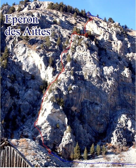
Photo-topo of the Éperon des Aittes above the Fonts de Cervières road, with El Boboch drawn in red

France · Briançonnais

El Boboch

A beginner's multipitch on a limestone spur above the Fonts de Cervières road, five minutes from the car. The first four pitches give real climbing at 3c to 4c on slabs and short walls; above that the route is mostly walking and scrambling on earthy, stony ground to the crest. Follow the expansion bolts, not the army glue-ins, for the better rock and less rope drag.

4c8 pitches250 m

Hand-drawn topo of Joli coup Baron showing the three steps, the walks between them and the pitch grades

France · Briançonnais

Joli coup Baron

Twelve short pitches up three separate quartzite steps on the west side of the Rocher Baron, ten minutes from the road in the Durance valley south of Briançon. It starts very easy and steepens as it goes: the top step has the 5a bulge and the best climbing. A first multipitch, low and quick to reach, with road noise on the lower part.

5a12 pitches210 m

The towers of the Tenailles de Montbrison seen from the approach

France · Briançonnais

La Fiesta del Sud

The popular modern route of the Tenailles de Montbrison, a group of pale limestone towers high above the Durance. The lower pitches are slabby and beginning to polish; from the fifth pitch on it steepens into a 35 m crack, a thin slab and a final pitch with a leftward traverse, all at 6a+ to 6b. Grades are firm and you climb between the bolts.

6b9 pitches280 m

Around 6a · about 7 pitches

Similar elsewhere

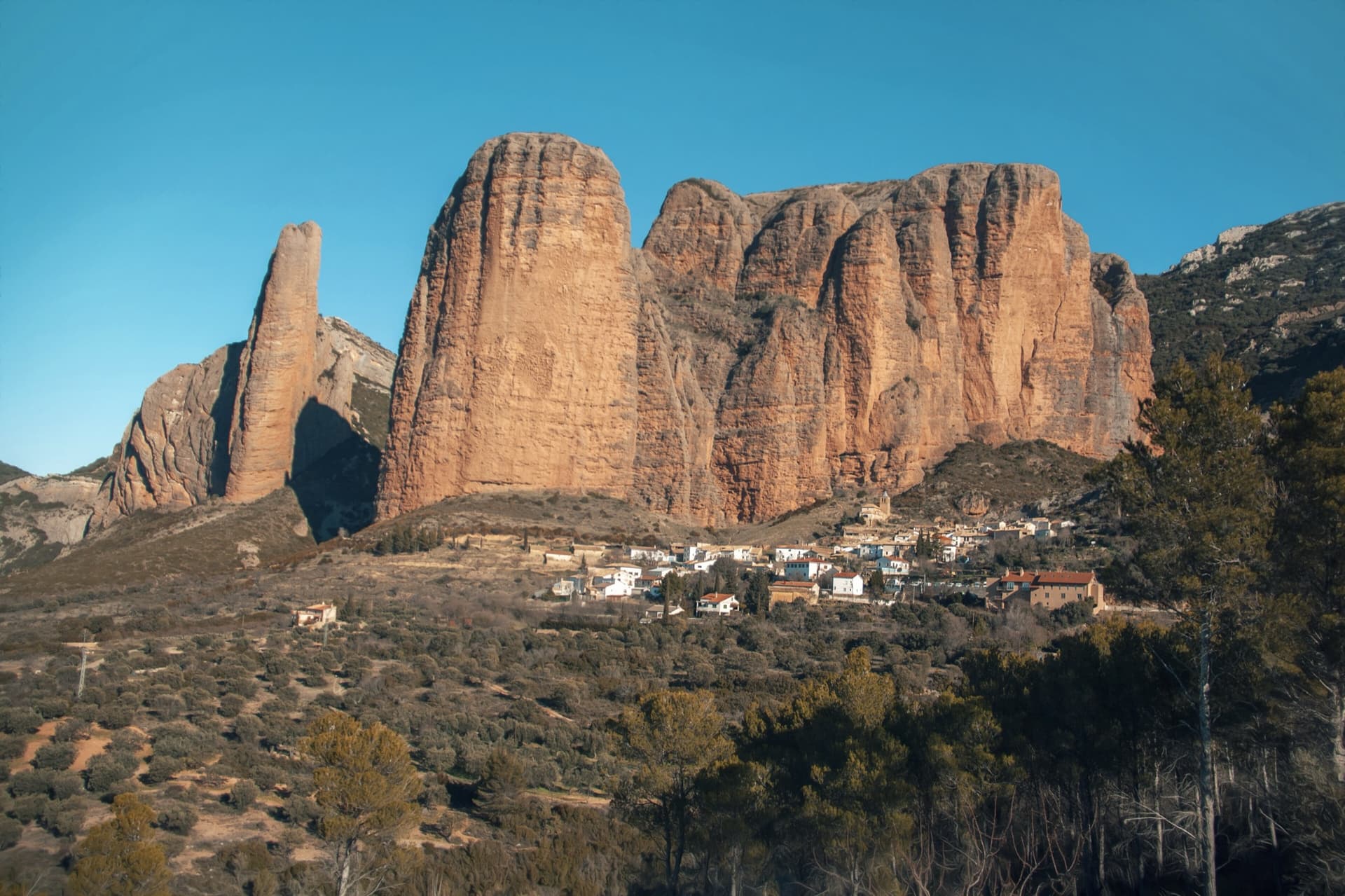
The classic view of Riglos from the south-west: the slender pinnacle of El Puro on the left, the great dome of Mallo Pisón beside it, and the main wall running right to La Visera above the village.

Spain · Riglos & Agüero (Mallos)

Espolón del Adamelo

This is the gentlest way to sample Riglos. Polished pockets and two bulging 'panzas' lead to a 6a crux that can be pulled through on the bolts (A0). The upper spur is easy, and the Pisón towers loom close by.

6a7 pitches175 m

Read the cautions

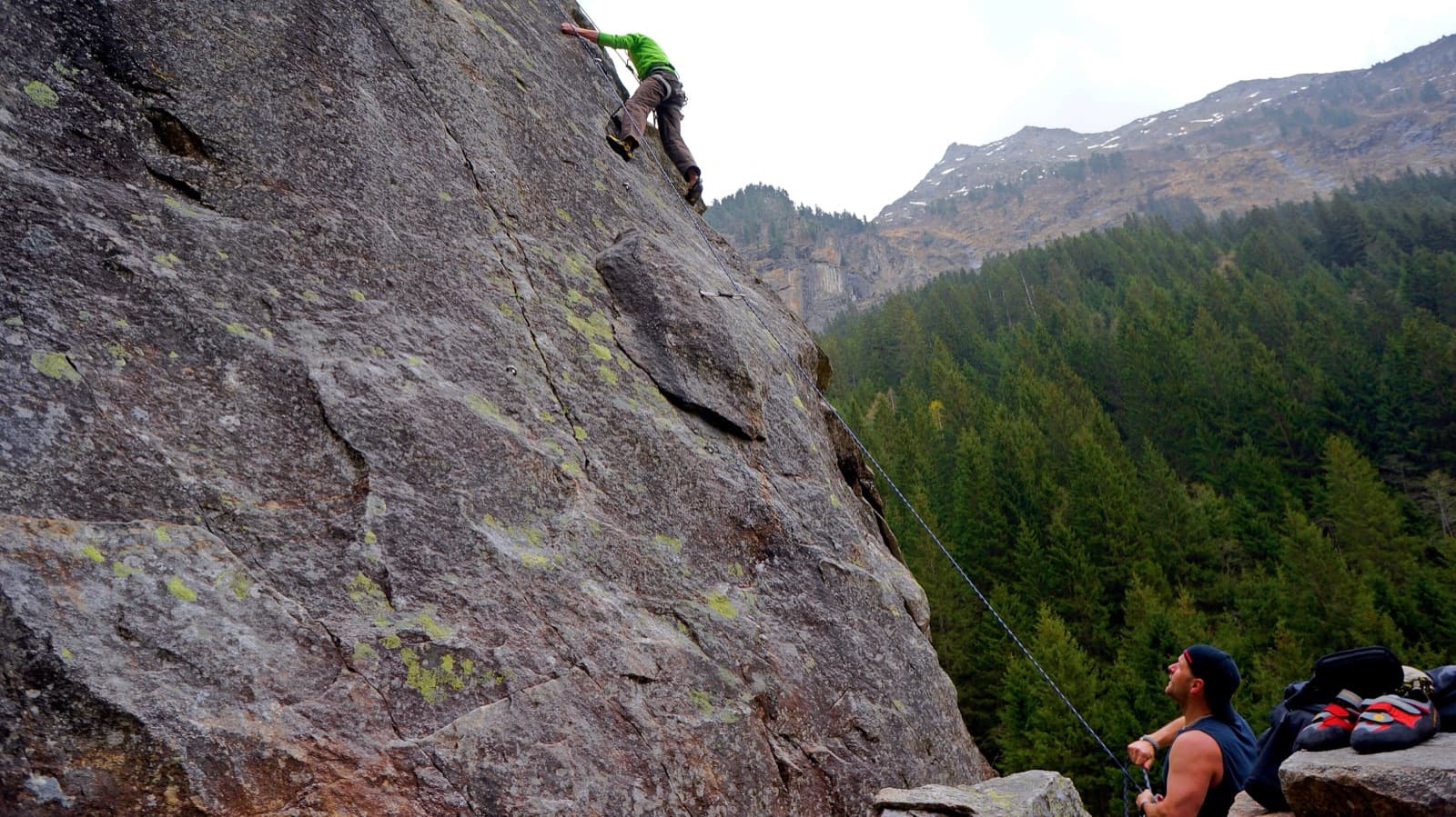
A view of the region, not this route's wall. Slab climbing at the Ewige Jagdgründe crag near Ginzling in the Zillertal; the Wiegelwand is the wall above this sector and is not in the picture.

Austria · Zillertal

Alpiner Spätaufsteher

A granite slab route beside a washed-out stream bed and a small waterfall, described as the new slab classic of the Zillertal. Mostly around UIAA 5 on fine slabs, with short harder passages and a 6/6+ exit. Never very exposed, with a view of the 3000 m peaks.

6a7 pitches255 m

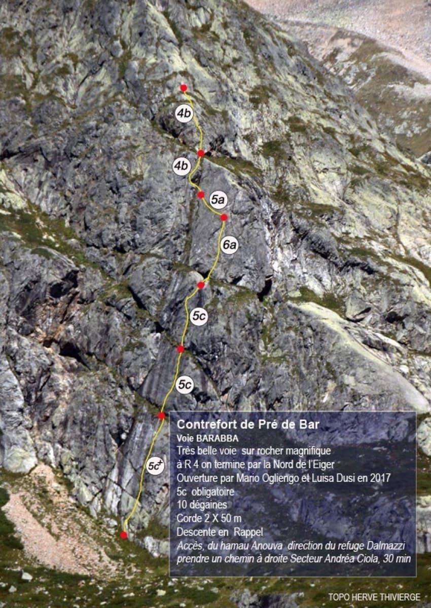
Topo of Barabba on the Contrefort de Pré de Bar, Val Ferret

Italy · Aosta Valley

Barabba

A pretty plaisir route on edgy, quartz-studded granite slabs beneath the Mont Blanc massif. The crux is a short bulge and steep juggy wall on P4. Camptocamp rates it 'great'.

6a7 pitches180 m

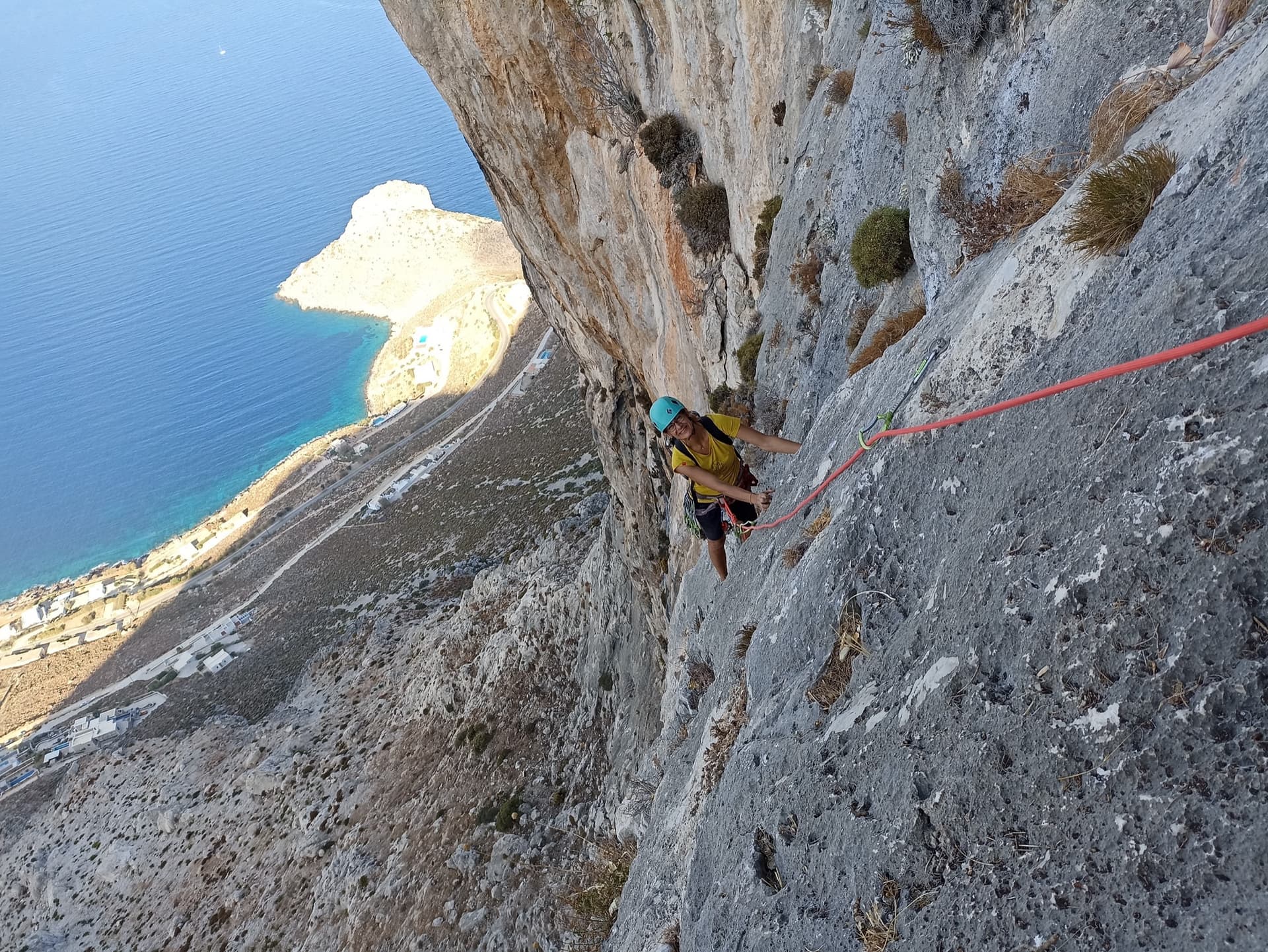
High on Lost Goat on the Olympic Wall: a climber on water-worn grey limestone with the Kalymnos coast far below.

Greece · Kalymnos & Telendos

Lost Goat

A mountain-style outing high above Masouri, with a delicate traversing 6a on P4 and a lovely final corner. Most pitches feel easy for their grade, but the route is loose in places, so wear a helmet.

6a7 pitches170 m

Compiled from published sources and last verified October 2026. Bolts, anchors and access change. Climbing is dangerous and you are responsible for your own decisions: check a current topo and read the disclaimer.