Multipitch Atlas

Joli coup Baron

Rocher Baron (Saint-Martin-de-Queyrières) · Briançonnais · France

Bail with caveatsBolting confidence: high

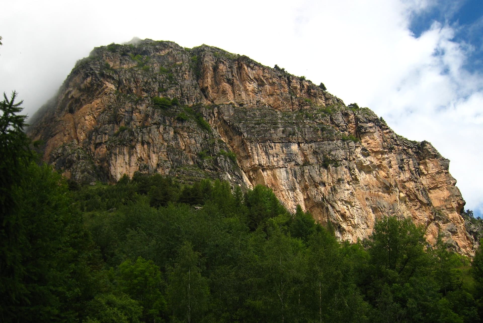
Twelve short pitches up three separate quartzite steps on the west side of the Rocher Baron, ten minutes from the road in the Durance valley south of Briançon. It starts very easy and steepens as it goes: the top step has the 5a bulge and the best climbing. A first multipitch, low and quick to reach, with road noise on the lower part.

Hand-drawn topo of Joli coup Baron showing the three steps, the walks between them and the pitch gradesPhoto: anakreenskyrider · CC BY-SA 3.0

Topo

Hand-drawn topo of Joli coup Baron showing the three steps, the walks between them and the pitch gradesPhoto: anakreenskyrider · CC BY-SA 3.0
Hardest pitch
5a
Pitches
12
Length
210 m
Approach
10 min
Aspect
W
West-facing
Rope
1×50 m
a 25 to 30 m rope is enough if you stop at every belay

The route

Overview

Joli coup Baron is an easy multipitch on the west flank of the Rocher Baron, above Saint-Martin-de-Queyrières in the Durance valley between Briançon and L'Argentière-la-Bessée. The climbing comes in three steps separated by short walks: five very easy pitches (3a to 3c), four pitches at 3c to 4c, and three steeper pitches with the 5a crux. Pitches are only 15 to 25 m, so partners stay within earshot, and they link well in pairs on a 50 m rope. The rock is sound, grippy quartzite with patches of lichen. It is one of the lowest multipitch routes of the area, at 1190 to 1400 m.

The climbing

Pitch by pitch

Pitches of Joli coup Baron
PitchGradeNotes
P13cFirst step. Very easy climbing on short walls; pitches on this step are 15 to 25 m.
P23aEasy.
P33cEasy.
P43aPartly walking. An old abseil chain here hangs from a single bolt; a 2026 party found the line unclear just after it.
P53bShort and easy to the top of the first step. About 20 m of walking on a ledge to the right leads to the second step; you can escape to the track from here.
P64bSecond step, a little more sustained.
P74cThe hand-drawn topo and camptocamp put a move of 5a on this pitch.
P84bA 5b variation exists on the left (gulliver).
P93cTo the top of the second step. Follow a faint path left to a triangular gap in the big wire netting, then cairns to the third step.
P105aThird step, more vertical. The crux bulge.
P114aSteep and well supplied with holds. The topo drawing gives 4c here and 4a for the last pitch.
P124cDo not stop at the first belay; there is another about 5 m higher. Walk straight on to the summit cairn.

Getting there

Approach

To the parking

From Briançon take the N94 towards Gap and leave it at Saint-Martin-de-Queyrières. After the flyover, at the roundabout, go left towards the 'ressourcerie' and immediately take a small tarmac road that climbs to the right. Park at the second hairpin, the one that turns right, where there is room for two or three cars.

On foot · about 10 min

5 to 10 minutes. From the hairpin follow a cairned path through scree and grass to the wire rockfall netting on the rock, then go left, slightly downhill. The start is marked by a small green plaque with the name and grade, and a piece of blue cord on the first bolt.

Map of the walk-in

  • Crag

Loading map

The point marks the crag, not the exact start of the route.

Coordinates · crag

44.84660, 6.59018

Point from camptocamp waypoint 277556 (Rocher-Baron)

For your phone or watch

Download GPX

Contains the route point. Opens in most mapping apps and GPS watches.

Points are compiled from published sources, with the precision stated above. They were not surveyed on the ground: check them against a current topo.

Getting down

Descent

On foot. Camptocamp says to go right from the summit cairn across a big grassy terrace and down a series of sloping terraces, crossing a 2 m rock step, to the track that leads back to the car. Gulliver and a July 2026 party went left from the cairn instead, following cairns down grassy ledges below the third and second steps to the wire netting and the track, and found that way straightforward.

Retreat

Bailing off the route

Bail with caveats

The route is three short steps with walking between them, and camptocamp marks an escape on foot to the track after the first step. Pitches are only 15 to 25 m, so abseiling a pitch from a two-point belay is feasible on a 50 m rope, but the belays are not rigged for it.

Retreat from
On foot from the ledge between the first and second steps (stated). The ledges between the second and third steps also connect to the descent path (inferred from the descent description).
Point of no return
None. From the top step the summit is at most three short pitches away.
Carry
A sling and maillon to leave at an unlinked belay if you abseil.
Basis
Part stated, part inferredThe first escape is drawn on the camptocamp topo; the rest is inferred from pitch lengths and the descent path, which passes below the upper steps.

Partly inferred from the route facts

Safety

Hazards

  • The belay points are not linked, and some belays are one bolt and one peg.
  • The route crosses rockfall netting above the road; keep to the cairned line between the steps.
  • Lichen covers some holds because the route sees little traffic; it is slippery when damp.
  • After pitch 4 the line is easy to lose: a 2026 party ended up soloing the short, easy pitch 5.

Sun and weather

Conditions

West to south-west facing and in shade in the morning. At 1200 to 1400 m it has a long season: reports run from early March to September. Allow 3 to 4 hours for a roped party taking every pitch.

Usual season · Apr to Oct

Sun on the wall · W-facing

Working out the sunlit hours for this month.

  • January: not yet worked out
  • February: not yet worked out
  • March: not yet worked out
  • April (usual season): not yet worked out
  • May (usual season): not yet worked out
  • June (usual season): not yet worked out
  • July (usual season): not yet worked out
  • August (usual season): not yet worked out
  • September (usual season): not yet worked out
  • October (usual season): not yet worked out
  • November: not yet worked out
  • December: not yet worked out

Sun on the wallDaylight, wall in shade● Usual season

Estimated from the wall's aspect only. Ignores surrounding terrain, gullies and the wall's exact shape. Clock times are local to the wall (Central European time), for the 15th of each month.

Climate figures for Briançonnais are not available yet

What to carry

Gear

8 quickdraws if you stop at every belay, up to 16 if you link pitches in pairs. A single rope of 25 to 30 m is enough pitch by pitch; take 50 m to link. Slings to connect the belay bolts. Helmet.

Checklist

Quickdraws
8
Rope
1×50 m (a 25 to 30 m rope is enough if you stop at every belay)
Helmet
One each
Slings
Mentioned for retreat
Maillons or spare karabiners
To leave behind if you retreat

Derived from the route data; check it against a current topo

From climbers

Reader reports

Reader reports are not being collected yet. Until they are, check a current topo and the local club or guidebook publisher for recent changes to Joli coup Baron.

Worth knowing

Tips

  • The climbing gets better with height. If time is short you can walk in to the second step.
  • Approach shoes are enough for most of the route; rock shoes help on the top step.
  • The Rocher Baron sport crag on the col above has single pitches from 4a if you want more afterwards.

Open questions

Where sources disagree

  • Number of pitches: 12 on gulliver (July 2026) and on the hand-drawn camptocamp topo; the first camptocamp party counted 11.
  • Pitch grades: gulliver gives the second step as 4b, 4c, 4b, 3c and the third as 5a, 4a, 4c; the camptocamp topo drawing gives 4b, 4c with a move of 5a, 3c, 3c and then 5a, 4c, 4a. Gulliver's list is used here.
  • Descent: right from the summit cairn on camptocamp, left on gulliver and in a 2026 trip report.
  • Length: 190 m of difficulties on camptocamp, 210 m of climbing on gulliver.

Provenance

Sources

Same area

More in Briançonnais

All routes in Briançonnais
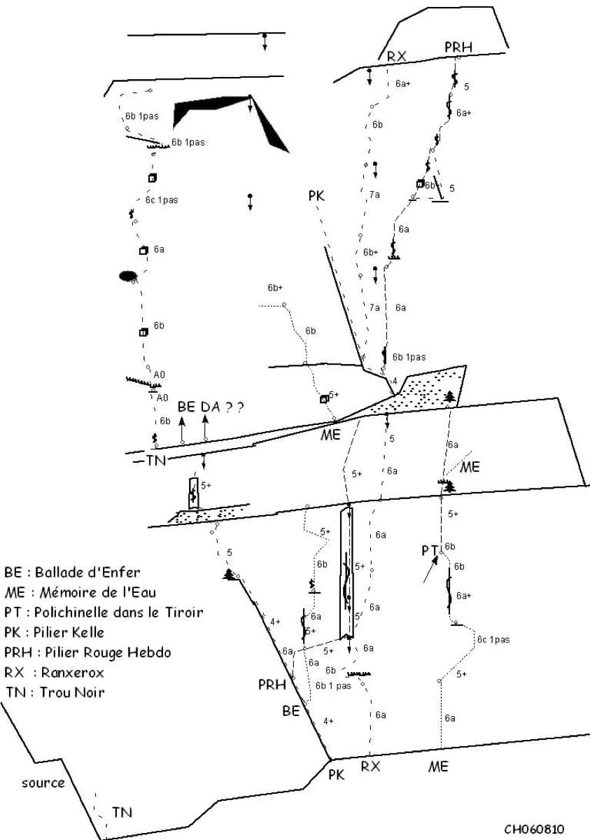
Sketch topo of the Ranxerox sector of the Tête d'Aval; La mémoire de l'eau is the line marked ME

France · Briançonnais

La mémoire de l'eau

One of the most admired lines on the Tête d'Aval: eleven sustained pitches, first up steep cracks and walls, then across orange limestone studded with small spikes. The grade is 6c with a 6c+ passage that has a fixed sling for aid, and 6b is obligatory. Parties advise being comfortable at 6c, because the bolting is sound but not generous.

6c+11 pitches300 m

Read the cautions
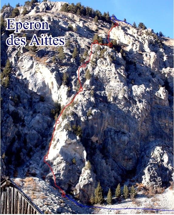
Photo-topo of the Éperon des Aittes above the Fonts de Cervières road, with El Boboch drawn in red

France · Briançonnais

El Boboch

A beginner's multipitch on a limestone spur above the Fonts de Cervières road, five minutes from the car. The first four pitches give real climbing at 3c to 4c on slabs and short walls; above that the route is mostly walking and scrambling on earthy, stony ground to the crest. Follow the expansion bolts, not the army glue-ins, for the better rock and less rope drag.

4c8 pitches250 m

The multipitch wall of Le Ponteil above Champcella

France · Briançonnais

La diagonale de gauche

The gentlest way up the big limestone wall of Le Ponteil: short walls and slabs that slant leftwards across the south-west facet, with a ledge walk in the middle. Most of it is 4b to 5c on very featured rock; one well-bolted move round a block gives the 6a. It gets better as it goes, and pitches 4 and 6 are the ones people remember.

6a7 pitches200 m

The towers of the Tenailles de Montbrison seen from the approach

France · Briançonnais

La Fiesta del Sud

The popular modern route of the Tenailles de Montbrison, a group of pale limestone towers high above the Durance. The lower pitches are slabby and beginning to polish; from the fifth pitch on it steepens into a 35 m crack, a thin slab and a final pitch with a leftward traverse, all at 6a+ to 6b. Grades are firm and you climb between the bolts.

6b9 pitches280 m

Around 5a · about 12 pitches

Similar elsewhere

The slabs of the Motteux Péteux, with the path to the start of L'avenue des chamois marked in red

Switzerland · Gastlosen

L'avenue des chamois

A long, easy and very well bolted route up low-angle runnelled limestone slabs to point 2105 m on the ridge between the Dent de Ruth and the Dent de Savigny. Only pitches 2 and 3 steepen. The belays are on comfortable grass ledges and it is the only line on the face, so you cannot get lost.

5a10 pitches300 m

The Jegihorn south face from the approach; Panorama is the right-hand route on the face

Switzerland · Saas Valley

Panorama

The right-hand of the Jegihorn's three easy bolted routes and the quietest. Ten long pitches up low-angled slabs and then a steeper, airy central section on sharp flakes and edges, finishing along a short crest to the 3206 m summit. Bolts are further apart than on Alpendurst and the belays are unlinked, so it suits a leader who is steady at 4c.

5a10 pitches360 m

Read the cautionsCommitting

The long, low-angle corner of Foxie

Switzerland · Grimsel

Foxie

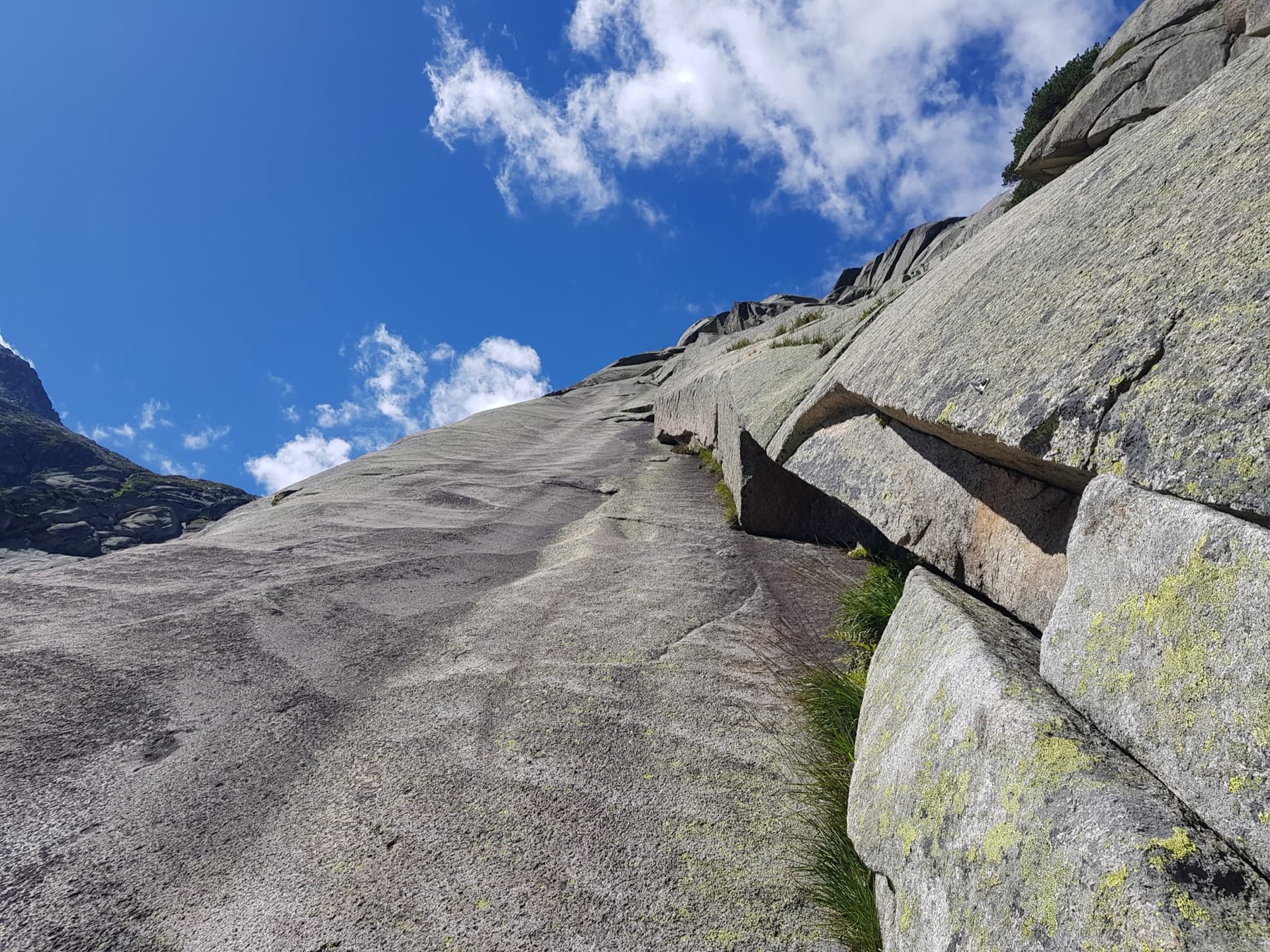
The classic easy introduction to Grimsel granite: nine pitches of smooth, low-angle slab that follow a long, stair-like corner and a line of cracks, with a short steeper wall on pitch 7. Clean rock with no grass ledges, a short approach and an easy walk down.

5a9 pitches270 m

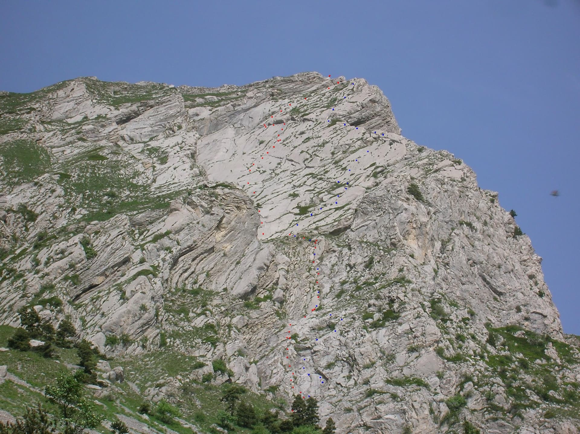
The east face of the Pic de l'Aiguille with two dotted route lines drawn by Serge Luby, one of the equippers. Camptocamp attaches the picture to both À l'aise Gleize and La Barule des Barulots without saying which colour is which.

France · Dévoluy

À l'aise Gleize

Twelve pitches of easy slab on water-worn runnels up the east face of the Pic de l'Aiguille, above Gap, finishing on a summit at 2140 m. Never harder than 5b and mostly 5a, but long: allow four to five hours. The bolts are well placed and spaced, the rock is very grippy, and stonefall from the ledges and from walkers on the summit is the main thing to watch.

5b12 pitches300 m

Read the cautions

Compiled from published sources and last verified October 2026. Bolts, anchors and access change. Climbing is dangerous and you are responsible for your own decisions: check a current topo and read the disclaimer.