Multipitch Atlas

El Boboch

Éperon des Aittes (Cervières) · Briançonnais · France

Bail with caveatsBolting confidence: high

A beginner's multipitch on a limestone spur above the Fonts de Cervières road, five minutes from the car. The first four pitches give real climbing at 3c to 4c on slabs and short walls; above that the route is mostly walking and scrambling on earthy, stony ground to the crest. Follow the expansion bolts, not the army glue-ins, for the better rock and less rope drag.

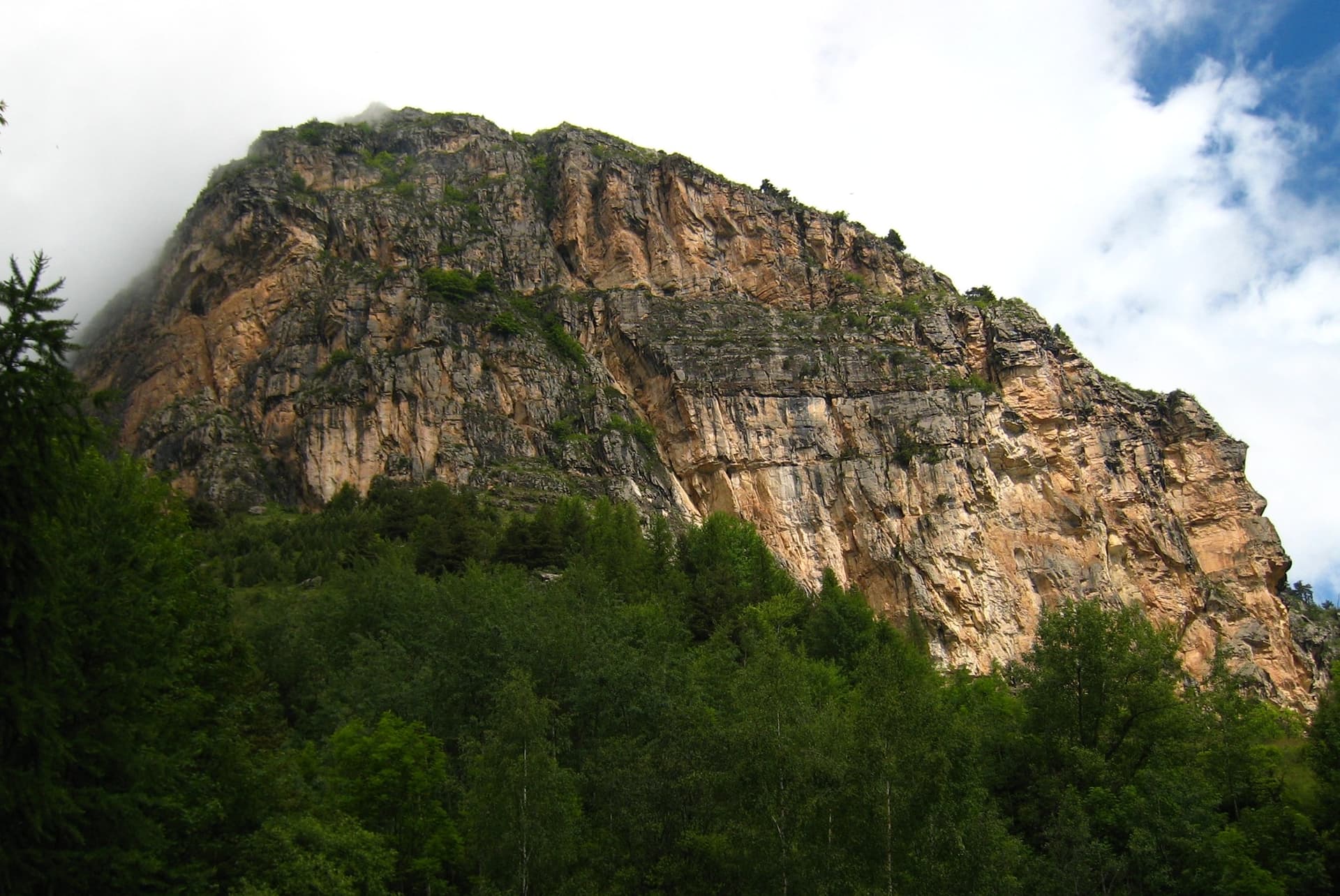
Photo-topo of the Éperon des Aittes above the Fonts de Cervières road, with El Boboch drawn in redPhoto: nico las · CC BY-SA 3.0

Topo

Photo-topo of the Éperon des Aittes above the Fonts de Cervières road, with El Boboch drawn in redPhoto: nico las · CC BY-SA 3.0
Hardest pitch
4c
Pitches
8
Length
250 m
Approach
5 min
Aspect
SE
South-east-facing
Rope
1×50 m

The route

Overview

El Boboch climbs the Éperon des Aittes, a limestone spur above the road from Cervières to Les Fonts, east of Briançon. It is an introduction to multipitch climbing: eight short stages, never harder than 4c, with bolts close on the few moves of IV+. Only the first four pitches are continuous rock. The upper part is a ledge walk, one short wall and a scramble up a slope to a tree, on ground that holds earth and loose stones. Many parties climb it in approach shoes or boots.

The climbing

Pitch by pitch

Pitches of El Boboch
PitchGradeLengthBoltsNotes
P14c30 m–Rising diagonal to the left with a few delicate moves. Chained belay. A hanger was reported missing on this pitch in September 2024.
P23c40 m–Easy climbing up and left. Chained belay.
P33c/4a35 m–At the start either follow the glue-ins left (3c) or the expansion bolts straight up (4a), then pass left of the pine. Do not follow the glue-ins beyond: there is no belay that way and the rope drag is severe. Chained belay.
P44c30 m–A pleasant slab. Follow the expansion bolts straight up (4c) or the glue-ins on the right (4a/b). Chained belay.
P54a35 m–Easier climbing to a belay on three unlinked bolts.
P6250 m3 boltsTwo bolts, then walk right (east) for about 40 m along a ledge, following cairns and one more bolt, to a belay on two unlinked bolts that is hard to see from a distance. Exposed walking on gravel.
P74a45 m–Climb to a pleasant wall with three or four bolts, then easier ground to a shoulder on the crest.
P8250 m–Walk and scramble up the slope to the first tree and belay on it. Earthy and stony.

Getting there

Approach

To the parking

From Briançon drive to Cervières on the Col d'Izoard road, then take the road towards Les Fonts. Pass the turning for the Chalets des Aittes and park in a small lay-by on the right before the old defensive wall (mur des Aittes). Briançon has a railway station; there is no public transport up the Fonts road.

On foot · about 5 min

About 5 minutes (Briançon Climbs says 2). Join the path that leaves from the bend and leads west to the foot of the spur. The route starts from a slab engraved by the army; the name 'El Boboch' is painted at the base with a drawing of a snail, and can be seen from the parking place.

Map of the walk-in

  • Crag

Loading map

The point marks the crag, not the exact start of the route.

Coordinates · crag

44.88022, 6.73728

Point from camptocamp route 1017689 geometry (centre of the uploaded GPS loop, which starts on the road at 44.87836, 6.73837)

For your phone or watch

Download GPX

Contains the route point. Opens in most mapping apps and GPS watches.

Points are compiled from published sources, with the precision stated above. They were not surveyed on the ground: check them against a current topo.

Getting down

Descent

On foot. The recommended way goes 50 m straight up from the last belay to the trees, follows a steep path to the crest, goes down the crest for 20 m to the north and joins the path that descends from Peyre Moutte to the road. The alternative is to cross 10 m onto the north side to a pine with an anchor for a 25 m abseil, which lands in a large, tiring scree slope that you descend back to the start.

Retreat

Bailing off the route

Bail with caveats

The first four belays are chained and the pitches are 30 to 40 m, so you can abseil from them on a 50 m rope only in short stages; with a single 50 m rope you cannot abseil a 35 or 40 m pitch in one go. Camptocamp adds that it is always possible to escape on foot if there is a problem, because ledges cut the spur.

Retreat from
Chained belays at the top of pitches 1 to 4; walking escapes from the ledges, which the source states without describing them one by one.
Point of no return
None stated. Above pitch 5 the natural way off is upwards, on easy ground.
Carry
A second rope, or a 60 to 80 m single, if you want to abseil the lower pitches in one go; slings and a maillon for the unlinked belays higher up.
Basis
Part stated, part inferredCamptocamp states that escape is always possible and lists the belay types; the rope arithmetic is inferred from the published pitch lengths.

Partly inferred from the route facts

Safety

Hazards

  • Loose stones lie on every easy-angled section and fall easily. Do not start below another party.
  • Pitches 6 to 8 are exposed walking and scrambling on gravel and earth with very few bolts. An April 2024 party called them rotten and exposed and suggested slinging trees for extra protection.
  • Hangers go missing: three were replaced in August 2020 and one was missing on pitch 1 in September 2024. A 2019 party found two or three bare studs on the transition sections.
  • The upper belays are not linked and the last is a tree.

Sun and weather

Conditions

South-east facing at 1850 to 2100 m, and partly shaded: a July 2026 party was in shade for much of the climb. It has been climbed from early April to late September. Afternoon storms are common in summer, so start in the morning. Allow 1.5 to 3 hours on the route.

Usual season · May to Oct

Sun on the wall · SE-facing

Working out the sunlit hours for this month.

  • January: not yet worked out
  • February: not yet worked out
  • March: not yet worked out
  • April: not yet worked out
  • May (usual season): not yet worked out
  • June (usual season): not yet worked out
  • July (usual season): not yet worked out
  • August (usual season): not yet worked out
  • September (usual season): not yet worked out
  • October (usual season): not yet worked out
  • November: not yet worked out
  • December: not yet worked out

Sun on the wallDaylight, wall in shade● Usual season

Estimated from the wall's aspect only. Ignores surrounding terrain, gullies and the wall's exact shape. Clock times are local to the wall (Central European time), for the 15th of each month.

Climate figures for Briançonnais are not available yet

What to carry

Gear

10 quickdraws (Briançon Climbs says 8), a 50 m single rope, slings and screwgate karabiners to link the unchained belays and to sling the final tree. Helmet.

Checklist

Quickdraws
10
Rope
1×50 m
Helmet
One each
Abseil device and prusik
The descent or the retreat involves abseiling
Slings
Mentioned for retreat
Maillons or spare karabiners
To leave behind if you retreat

Derived from the route data; check it against a current topo

From climbers

Reader reports

Reader reports are not being collected yet. Until they are, check a current topo and the local club or guidebook publisher for recent changes to El Boboch.

Worth knowing

Tips

  • The expansion-bolt line gives the best climbing and the least drag. The older army glue-ins wander onto ledges and earthy gullies.
  • You can escape on foot from several points if something goes wrong.
  • Parties with children or beginners often stop being roped properly after pitch 5; keep the rope on for the ledge of pitch 6.

Open questions

Where sources disagree

  • Number of pitches: camptocamp describes 8 stages, two of them walking (grade 2); Briançon Climbs counts 7 pitches and a 3 minute walk before the last one.
  • Length: camptocamp gives 160 m of difficulties and 250 m of height gain; Briançon Climbs gives 150 m. The camptocamp pitch lengths add up to about 315 m of rope because of the traverses.
  • Aspect: south-east on camptocamp, south on Briançon Climbs.
  • Gear: camptocamp says 10 quickdraws and a 50 m rope; Briançon Climbs says 8 quickdraws and a 30 m rope, which is too short for the 35 to 50 m pitches listed on camptocamp unless you use intermediate stances or move together.

Provenance

Sources

Same area

More in Briançonnais

All routes in Briançonnais
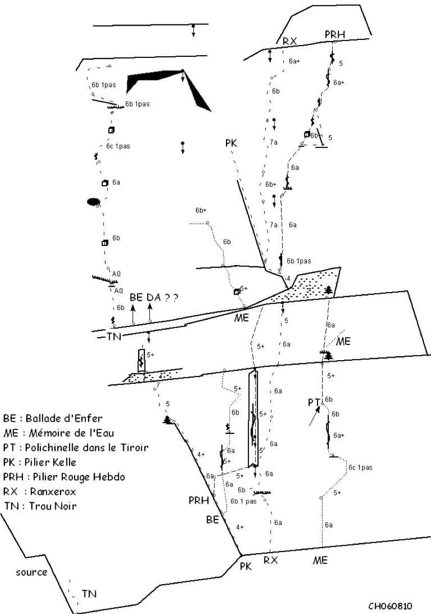
Sketch topo of the Ranxerox sector of the Tête d'Aval; La mémoire de l'eau is the line marked ME

France · Briançonnais

La mémoire de l'eau

One of the most admired lines on the Tête d'Aval: eleven sustained pitches, first up steep cracks and walls, then across orange limestone studded with small spikes. The grade is 6c with a 6c+ passage that has a fixed sling for aid, and 6b is obligatory. Parties advise being comfortable at 6c, because the bolting is sound but not generous.

6c+11 pitches300 m

Read the cautions
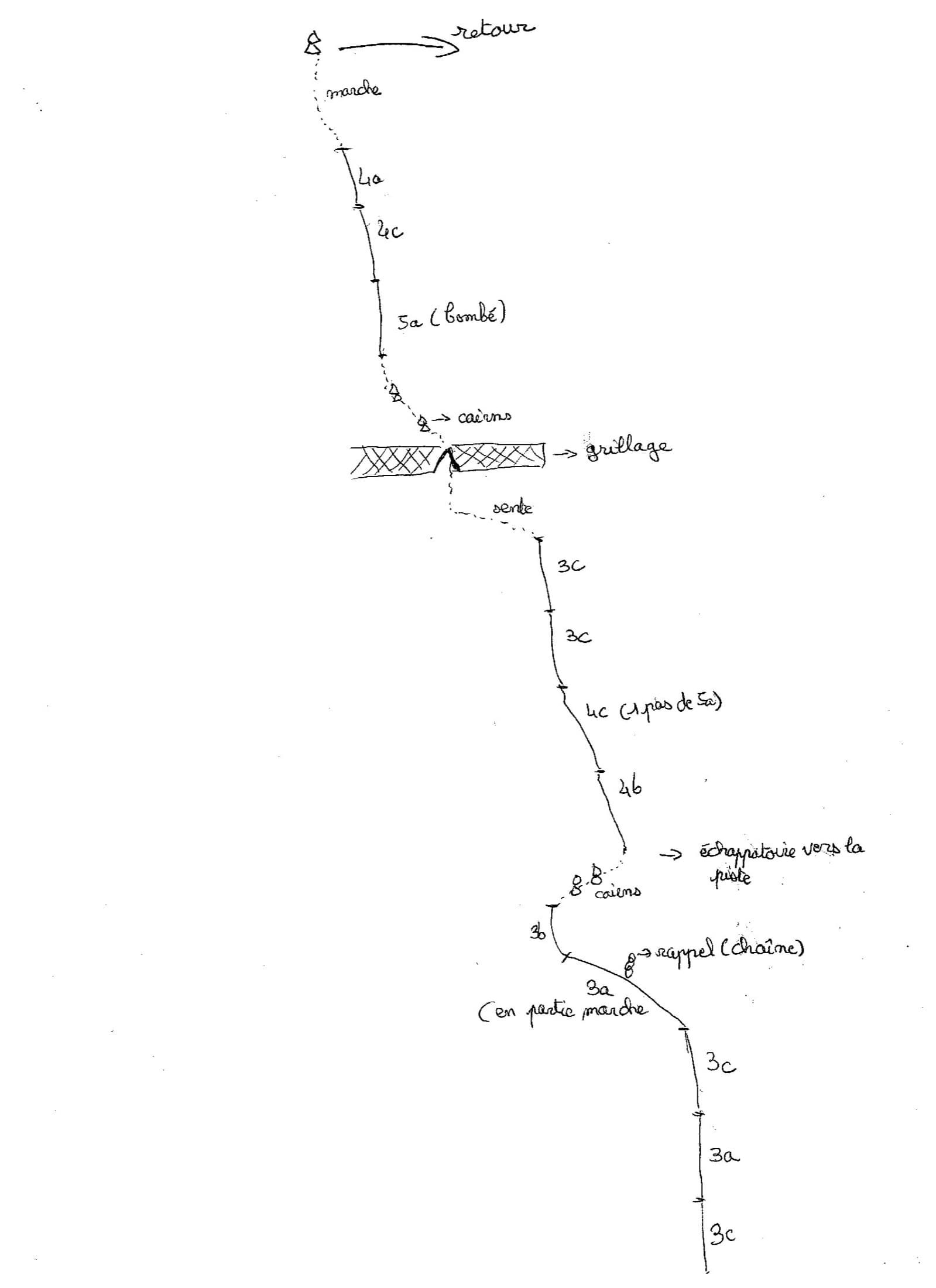
Hand-drawn topo of Joli coup Baron showing the three steps, the walks between them and the pitch grades

France · Briançonnais

Joli coup Baron

Twelve short pitches up three separate quartzite steps on the west side of the Rocher Baron, ten minutes from the road in the Durance valley south of Briançon. It starts very easy and steepens as it goes: the top step has the 5a bulge and the best climbing. A first multipitch, low and quick to reach, with road noise on the lower part.

5a12 pitches210 m

The multipitch wall of Le Ponteil above Champcella

France · Briançonnais

La diagonale de gauche

The gentlest way up the big limestone wall of Le Ponteil: short walls and slabs that slant leftwards across the south-west facet, with a ledge walk in the middle. Most of it is 4b to 5c on very featured rock; one well-bolted move round a block gives the 6a. It gets better as it goes, and pitches 4 and 6 are the ones people remember.

6a7 pitches200 m

The towers of the Tenailles de Montbrison seen from the approach

France · Briançonnais

La Fiesta del Sud

The popular modern route of the Tenailles de Montbrison, a group of pale limestone towers high above the Durance. The lower pitches are slabby and beginning to polish; from the fifth pitch on it steepens into a 35 m crack, a thin slab and a final pitch with a leftward traverse, all at 6a+ to 6b. Grades are firm and you climb between the bolts.

6b9 pitches280 m

Around 4c · about 8 pitches

Similar elsewhere

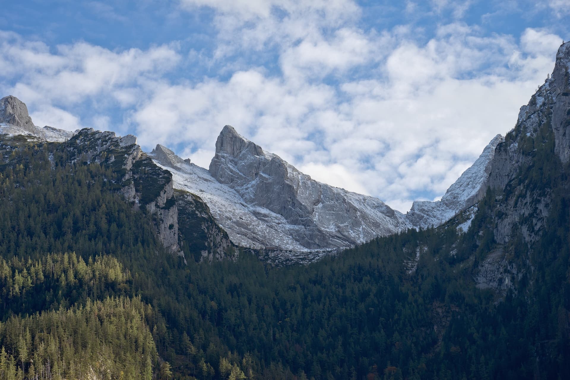
The Schärtenspitze seen from the north-west; the slab routes above the Blaueishütte climb this side of the mountain

Germany · Berchtesgaden & Bad Reichenhall

Logic Line

The shortest and easiest line on the slabs above the Blaueishütte: eight pitches of water-worn limestone slab, ramps and one water runnel, mostly UIAA III with a single IV+ step. It is closely bolted and often used as a first alpine multipitch. You finish next to the normal route and can carry on to the 2153 m summit.

4c8 pitches260 m

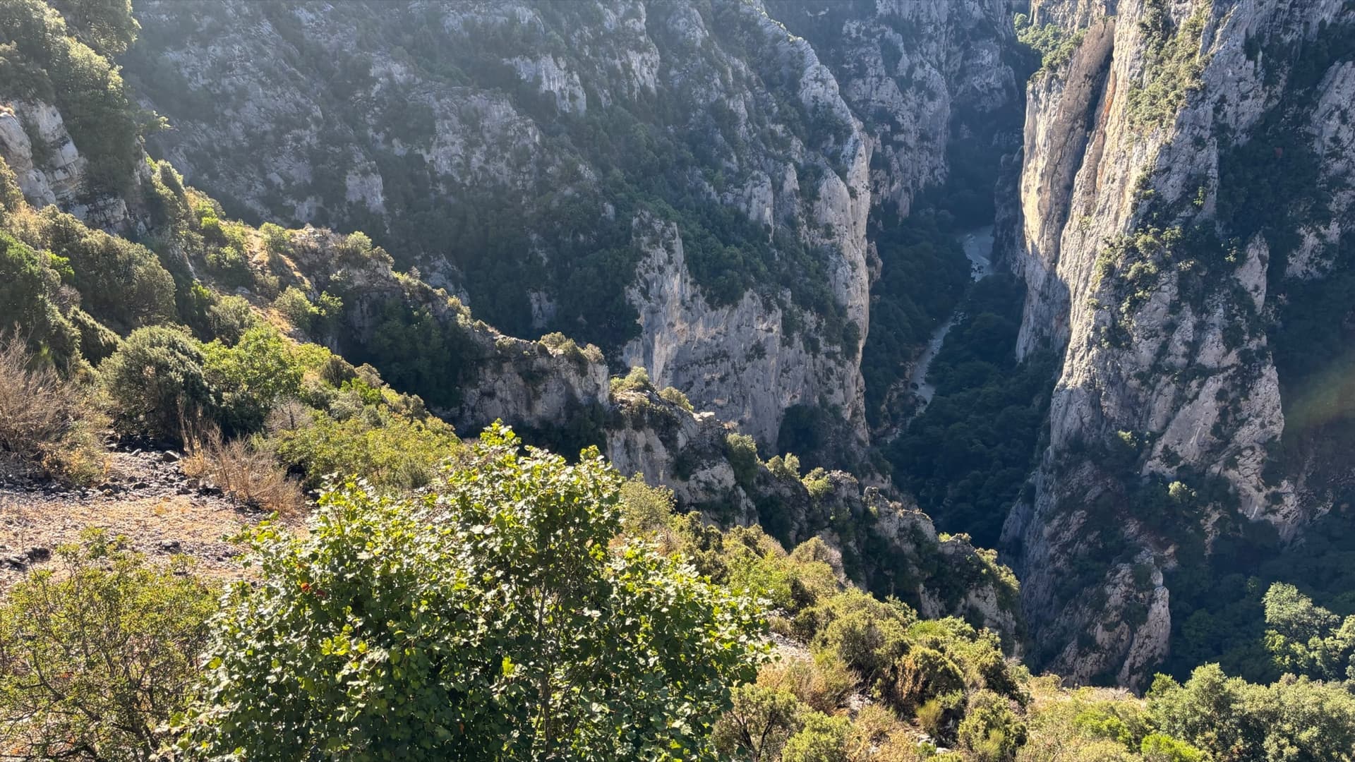
The Imbut gorge from the Maugué belvedere: the Arête de l'Herbetto is the narrow rib in the gorge below; the photographer does not mark which one.

France · Verdon

L'Herbetto

The easiest way to climb out of the Verdon gorge: a long, wandering ridge of short pitches at grade 3 and 4 that starts close to the river and finishes near the rim road. The climbing is modest but the setting is the full Verdon. You walk down a steep path with fixed ropes to reach the start, so the route is your way back up.

4c9 pitches180 m

Read the cautions

No photo yet

Italy · Bolzano & South Tyrol

Sonntagsspaziergang

The easy classic of the Noafer Bichl: slabs, a neat corner and two pitches up a pocketed pillar edge, with Bolzano below and the Dolomites on the horizon. Grade 4 climbing throughout, but with some long gaps between bolts on the easy ground.

4c7 pitches280 m

Read the cautions

A view of the region, not this route's wall. The Maggia gorge at Ponte Brolla, sculpted gneiss and green pools below the Speroni.

Switzerland · Ticino

Zombi, vai dove vuoi

An easy, sustained slab route following the edge of the spur just left of Quarzader. Every pitch is about 4c on compact gneiss, so there is no real crux and no real rest. Impossible to lose and often crowded.

4c7 pitches210 m

Compiled from published sources and last verified October 2026. Bolts, anchors and access change. Climbing is dangerous and you are responsible for your own decisions: check a current topo and read the disclaimer.