Multipitch Atlas

Logic Line

Schärtenspitze north-west slabs (above the Blaueishütte, Ramsau) · Berchtesgaden & Bad Reichenhall · Germany

Bail not documentedBolting confidence: medium

The shortest and easiest line on the slabs above the Blaueishütte: eight pitches of water-worn limestone slab, ramps and one water runnel, mostly UIAA III with a single IV+ step. It is closely bolted and often used as a first alpine multipitch. You finish next to the normal route and can carry on to the 2153 m summit.

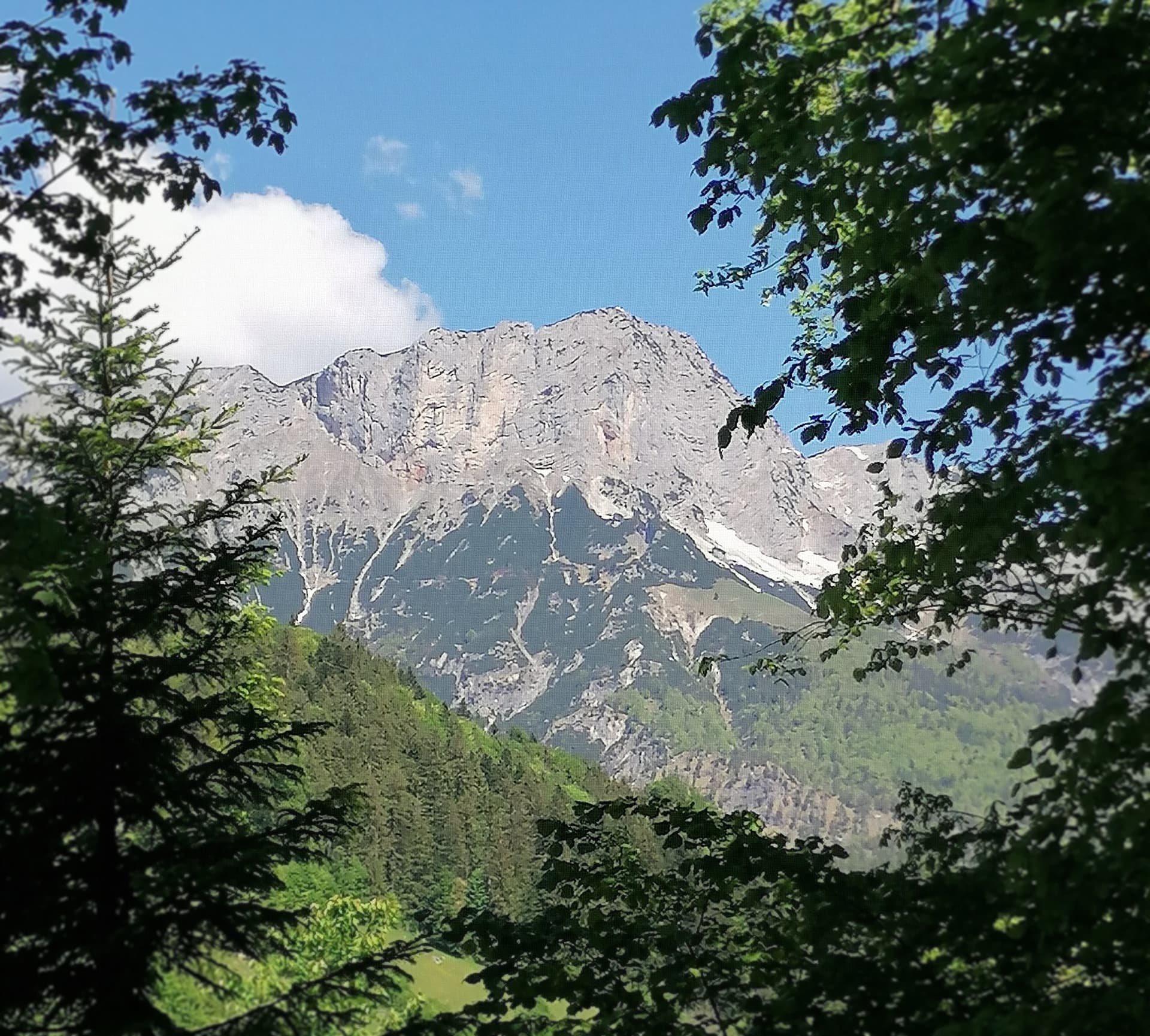
The Schärtenspitze seen from the north-west; the slab routes above the Blaueishütte climb this side of the mountainPhoto: Jörg Braukmann · CC BY-SA 4.0

Photo

The Schärtenspitze seen from the north-west; the slab routes above the Blaueishütte climb this side of the mountainPhoto: Jörg Braukmann · CC BY-SA 4.0
Hardest pitch
4c
Pitches
8
Length
260 m
Approach
15 min
Aspect
NW
North-west-facing
Rope
1×50 m
walk-off

The route

Overview

Logic Line is the easiest of the bolted slab routes on the north-west side of the Schärtenspitze, a quarter of an hour above the Blaueishütte in the Hochkalter group. Eight pitches of 20 to 40 m follow slabs, a ramp, a grassy bulge and a water runnel, almost all at UIAA II to III+, with one IV+ passage on the runnel slab of pitch 5. Belays and protection are bolted and both the hut and bergsteigen.com describe it as a plaisir route that needs no extra gear. The setting is alpine: the start is at about 1780 m and the hut is a two-hour walk from the valley, so most parties stay a night.

The climbing

Pitch by pitch

Pitches of Logic Line
PitchGradeLengthNotes
P1325 mUIAA III. Straight up water-worn slabs to the belay.
P23+35 mUIAA III+. A short vertical step at first, then rightwards through a small corner to a belay on a knob.
P3340 mUIAA III. Follow the ramp straight on to the next belay. The variant start joins here.
P4335 mUIAA III. Trend left across a grassy bulge, then follow a gully to a belay on the slab. There is an alternative belay before the gully, at about 30 m.
P54c20 mUIAA IV+, the crux. Climb the water runnel in the slab, and at its end move left along a step to the belay.
P63+35 mUIAA III+. Slightly right at first, then follow a corner on the left to its end, and finally back right to the belay.
P7335 mUIAA III. Straight up a pillar, cross a grass ledge, go round the corner and sharp right over a step to a belay in a hollow.
P8235 mUIAA II. Straight up easy slabs to a rock knob and the last belay, close to the normal route.

Getting there

Approach

To the parking

From Berchtesgaden drive about 7.5 km west to Ramsau, go through the village following signs for Hintersee, pass Gasthof Datzmann and after about 500 m park at the 'Staatsstraße' car park on the right. The marked path via the Schärtenalm reaches the Blaueishütte (about 1700 m) in roughly 2 hours. The pay car parks at Hintersee and at the end of Ramsau also work, at 2.5 to 3 hours to the hut.

On foot · about 15 min

About 15 min from the Blaueishütte (bergsteigen.com; the Bergsteigerdörfer page allows around 30 min for the slabs in general). Take the path towards the Hochkalter and Blaueis glacier, turn off at the signpost towards the Steinberg, and after about 100 m leave that path to the right towards the obvious slab wall. Cross scree between big boulders to the point where the low-angled slabs reach furthest down in a tongue: the route starts there. A two-pitch variant start begins 20 m further right.

Map of the walk-in

  • Crag
  • Parking

Loading map

The point marks the crag, not the exact start of the route.

Coordinates · crag

47.58210, 12.86990

Parking

47.60580, 12.86160

Car park on the Ramsau to Hintersee road, start of the Blaueishütte path (bergsteigen.com marker)

Point from bergsteigen.com map marker 'Einstieg (ungefähr)' for Logic Line

For your phone or watch

Download GPX

Contains the route point and parking. Opens in most mapping apps and GPS watches.

Points are compiled from published sources, with the precision stated above. They were not surveyed on the ground: check them against a current topo.

Getting down

Descent

From the last belay join the marked normal route of the Schärtenspitze, which has short cabled passages (via ferrata grade A/B) and grade I scrambling, and follow it down to the Blaueishütte in about 45 min. The summit is a short detour up the same path.

Retreat

Bailing off the route

Bail not documented

Retreat is not described by any source; the route is always finished onto the normal route. Every belay is bolted, but whether the belays are rigged for abseiling is not stated. Pitches 2 to 4 and 6 to 8 are 35 to 40 m long, so the single 50 m rope the route is climbed on would not reach the belay below in one abseil.

Retreat from
Not documented.
Point of no return
Not documented. From the top of pitch 5 the remaining climbing is UIAA II to III+, so finishing is usually the simpler option (inferred).
Carry
If you want the option of abseiling, climb on two ropes and carry a maillon or two and some cord (inferred from the pitch lengths).
Basis
Inferred from the route factsSources give bolted belays, pitch lengths and a walk-off only; nothing on abseil rigging.

Partly inferred from the route facts

Safety

Hazards

  • Alpine setting with the start at about 1780 m: low-angled slabs and a water runnel are a bad place to be caught by rain or a thunderstorm, and there is no documented quick way off.
  • The descent is a mountain path with cabled sections and grade I scrambling, not a lowering-off descent; keep approach shoes with you.
  • Other parties above on the slabs and on the normal route can dislodge stones.

Sun and weather

Conditions

North-west facing with the start at about 1780 m, so the slabs are in shade in the morning; the Bergsteigerdörfer page says the sun arrives around noon. bergsteigen.com gives May to October, but the hut's opening dates and old snow at the foot of the slabs decide the real start of the season. Slabs and the water runnel need to be dry.

Usual season · May to Oct

Sun on the wall · NW-facing

Working out the sunlit hours for this month.

  • January: not yet worked out
  • February: not yet worked out
  • March: not yet worked out
  • April: not yet worked out
  • May (usual season): not yet worked out
  • June (usual season): not yet worked out
  • July (usual season): not yet worked out
  • August (usual season): not yet worked out
  • September (usual season): not yet worked out
  • October (usual season): not yet worked out
  • November: not yet worked out
  • December: not yet worked out

Sun on the wallDaylight, wall in shade● Usual season

Estimated from the wall's aspect only. Ignores surrounding terrain, gullies and the wall's exact shape. Clock times are local to the wall (Central European time), for the 15th of each month.

Monthly climate averages for Berchtesgaden & Bad Reichenhall, 1991-2020
MeasureJanFebMarAprMay (usual season)Jun (usual season)Jul (usual season)Aug (usual season)Sep (usual season)Oct (usual season)NovDec
Mean daily high °C−10371216181814104−1
Mean daily low °C−10−9−6−3268851−5−9
Rain days 1 mm or more141417162020211916141315

● marks the usual climbing season. Averages for 1991-2020 at about 1337 m. Area climate from Open-Meteo reanalysis. Temperatures are adjusted to the height of the crag; rain comes from a grid cell of about 10 to 25 km, and summer highs on sea cliffs can read a few degrees low. The wall and valley can differ. Data: Open-Meteo, CC BY 4.0.

What to carry

Gear

A 50 m single rope, 8 quickdraws, a few slings for the threads, helmet. No nuts or cams are needed according to the hut topo.

Checklist

Quickdraws
8
Rope
1×50 m (walk-off)
Helmet
One each
Maillons or spare karabiners
To leave behind if you retreat
Cord
Mentioned for retreat

Derived from the route data; check it against a current topo

From climbers

Reader reports

Reader reports are not being collected yet. Until they are, check a current topo and the local club or guidebook publisher for recent changes to Logic Line.

Worth knowing

Tips

  • Stay at the Blaueishütte: the walk-in from Ramsau takes about 2 hours and the neighbouring slab routes make a good second day.
  • bergsteigen.com recommends it for alpine novices and plaisir climbers, so you may not have it to yourself.
  • The climbing time is 2 hours on the hut topo and 3 hours on bergsteigen.com.

Open questions

Where sources disagree

  • Name: 'Logic Line' on bergsteigen.com, 'Logig Line' on the hut topo and the Bergsteigerdörfer page.
  • Grade: IV+ for one passage (hut topo and bergsteigen.com) against V on the Bergsteigerdörfer page. The hut topo is followed.
  • Length: the hut topo's pitches add up to 260 m; bergsteigen.com gives 290 m and Bergsteigerdörfer 240 m.
  • Approach from the hut: 15 min (bergsteigen.com) against about 30 min (Bergsteigerdörfer, for the slabs in general).
  • Aspect: bergsteigen.com says north-west; the Bergsteigerdörfer page calls the same slabs the west face.

Provenance

Sources

Same area

More in Berchtesgaden & Bad Reichenhall

All routes in Berchtesgaden & Bad Reichenhall
The Rabensteinhorn wall climbed by Die Schönheitskönigin von Schneizlreuth, seen from its foot

Germany · Berchtesgaden & Bad Reichenhall

Die Schönheitskönigin von Schneizlreuth

Six pitches on excellent grippy limestone with views to the Watzmann, established 2012. Pitch grades are converted from the UIAA topo (6-, 6, 6, 5+, 5+, 6); 5 is obligatory.

6a6 pitches165 m
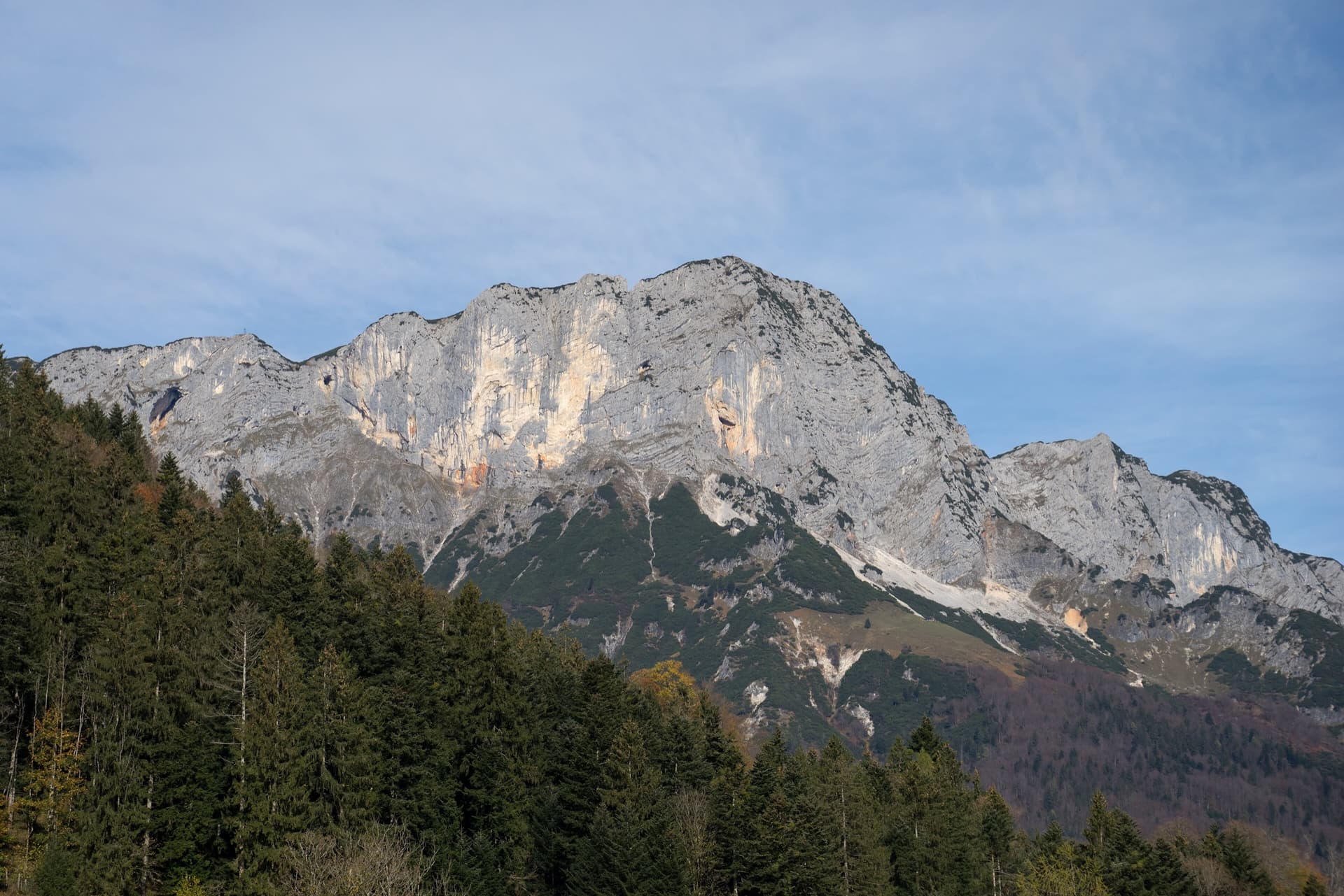
The Berchtesgadener Hochthron, highest point of the Untersberg, seen from Maria Gern: the south face in afternoon light, with the south-east walls on the right.

Germany · Berchtesgaden & Bad Reichenhall

Dahoam is Dahoam

A long-day alpine-flavoured plaisir route on the Untersberg's summit wall. Pitches range from UIAA 5+ to 6+ (≈5b–6b), with 5+ obligatory.

6a+10 pitches250 m

The Rabensteinhorn seen from the Ristfeuchthorn to the west

Germany · Berchtesgaden & Bad Reichenhall

Schmetterlings Kant'n

A steep, athletic line up the pillar right of the Schönheitskönigin von Schneizlreuth, reached by one pitch of that route and one of Alpinmodel. Four independent pitches of UIAA 6 to 7+ on very good rock, then the last pitches of the Schönheitskönigin.

6c7 pitches170 m

Read the cautions

The south face of the Berchtesgadener Hochthron seen from above Maria Gern; the Doriweg climbs the lower wall to the right of the main face

Germany · Berchtesgaden & Bad Reichenhall

Doriweg

Eight pitches of easy climbing on rough, water-eaten limestone in the lower wall right of the Hochthron south face, mostly UIAA IV with one short V+ move near the top. The line wanders a little, with a walking traverse in the middle and a memorable water runnel on pitch 5. It ends on the Grubenpfad ledge well below the summit.

5+8 pitches200 m

Around 4c · about 8 pitches

Similar elsewhere

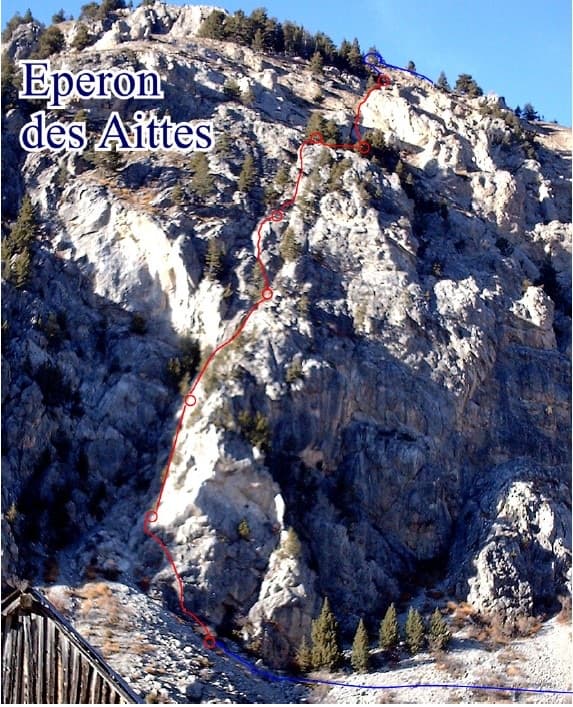
Photo-topo of the Éperon des Aittes above the Fonts de Cervières road, with El Boboch drawn in red

France · Briançonnais

El Boboch

A beginner's multipitch on a limestone spur above the Fonts de Cervières road, five minutes from the car. The first four pitches give real climbing at 3c to 4c on slabs and short walls; above that the route is mostly walking and scrambling on earthy, stony ground to the crest. Follow the expansion bolts, not the army glue-ins, for the better rock and less rope drag.

4c8 pitches250 m

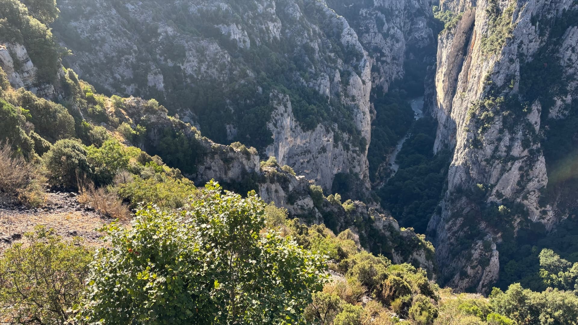
The Imbut gorge from the Maugué belvedere: the Arête de l'Herbetto is the narrow rib in the gorge below; the photographer does not mark which one.

France · Verdon

L'Herbetto

The easiest way to climb out of the Verdon gorge: a long, wandering ridge of short pitches at grade 3 and 4 that starts close to the river and finishes near the rim road. The climbing is modest but the setting is the full Verdon. You walk down a steep path with fixed ropes to reach the start, so the route is your way back up.

4c9 pitches180 m

Read the cautions

No photo yet

Italy · Bolzano & South Tyrol

Sonntagsspaziergang

The easy classic of the Noafer Bichl: slabs, a neat corner and two pitches up a pocketed pillar edge, with Bolzano below and the Dolomites on the horizon. Grade 4 climbing throughout, but with some long gaps between bolts on the easy ground.

4c7 pitches280 m

Read the cautions

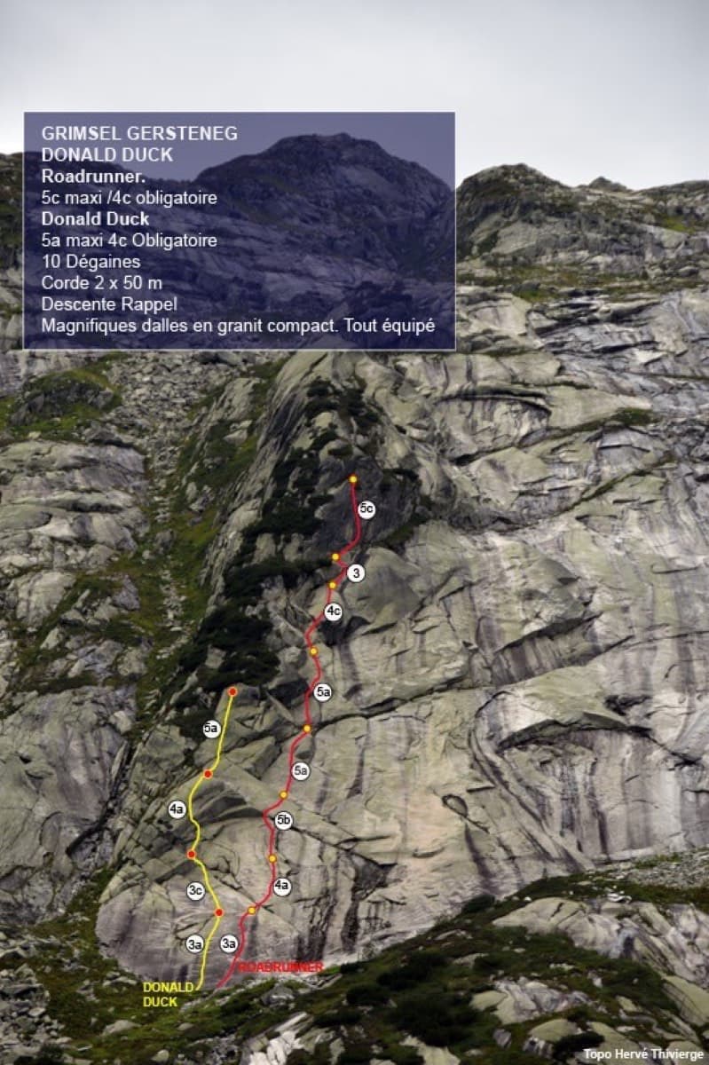
Photo-topo of the Donald Duck slab at Gerstenegg with Roadrunner (red) and Donald Duck (yellow)

Switzerland · Grimsel

Roadrunner

Seven pitches of smooth, low-angle Grimsel granite, almost all pure friction, with two short steeper steps. Technically easy, but you have to trust your feet. A gentle introduction to Grimsel slab and to multipitch rope work.

4c7 pitches200 m

Compiled from published sources and last verified October 2026. Bolts, anchors and access change. Climbing is dangerous and you are responsible for your own decisions: check a current topo and read the disclaimer.