Multipitch Atlas

Doriweg

Berchtesgadener Hochthron (Untersberg), wall between the Hochthron and the Gamsalmkopf · Berchtesgaden & Bad Reichenhall · Germany

Bail not documentedBolting confidence: medium

Eight pitches of easy climbing on rough, water-eaten limestone in the lower wall right of the Hochthron south face, mostly UIAA IV with one short V+ move near the top. The line wanders a little, with a walking traverse in the middle and a memorable water runnel on pitch 5. It ends on the Grubenpfad ledge well below the summit.

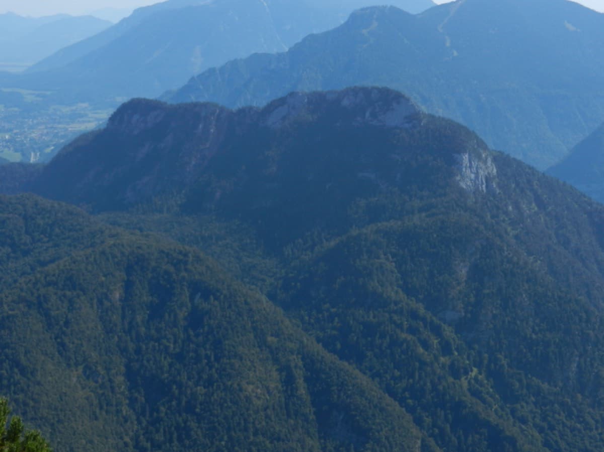
The south face of the Berchtesgadener Hochthron seen from above Maria Gern; the Doriweg climbs the lower wall to the right of the main facePhoto: Karlunun · CC0

Photo

The south face of the Berchtesgadener Hochthron seen from above Maria Gern; the Doriweg climbs the lower wall to the right of the main facePhoto: Karlunun · CC0
Hardest pitch
5+
Pitches
8
Length
200 m
Approach
120 min
Aspect
SE
South-east-facing
Rope
1×50 m
walk-off

The route

Overview

The Doriweg climbs an unnamed wall between the Berchtesgadener Hochthron and the Gamsalmkopf on the south side of the Untersberg. It looks unremarkable from below but gives eight pitches of well-bolted climbing on very rough rock, mostly UIAA IV to IV+, with a single short V+ wall on the last pitch that can be pulled through at A0. The route was put up in 2009 as a deliberately easy, fully bolted line and is named after the dairywoman of the Scheibenkaser hut, Viktoria Huber. The approach is long: about 2 hours from the car park, and bergsteigen.com gives 1200 m of height gain for the whole day.

The climbing

Pitch by pitch

Pitches of Doriweg
PitchGradeNotes
P1–Steep climbing on good rock across a chimney; do not go too deep into it. There is a slightly harder move before the belay.
P2–Rough, steep slabs, described as some of the best climbing on the route.
P3–Includes a short, easy traverse.
P4–A scrambly traverse across walking terrain.
P5–A big water runnel climbed directly on very rough rock, then easier ground to the belay.
P6–No description published.
P7–No description published. The Grubenpfad ledge crosses above.
P85+The crux: a short wall with few holds, UIAA V+, well bolted and possible at A0, then out onto the Grubenpfad.

Getting there

Approach

To the parking

From the Salzburg-Süd motorway exit or from Berchtesgaden drive to Marktschellenberg, then up the narrow road to Ettenberg and on to the hikers' car park in the forest, about 750 m beyond the Roßboden farm, on the right. A trip report calls it the Ettenberg car park behind Roßboden and found it busy on an autumn weekend.

On foot · about 120 min

About 2 hours. Walk up to the Scheibenkaser hut (about 1 hour 15 min; a 2017 party went up the Hochkampschneid ridge path instead of the forest road). From the hut head towards the Hochthron via ferrata. After a good 10 minutes you reach a scree field with large boulders on its right side, a sensible place to leave rucksacks if you plan to come down the Grubenpfad. Go a few metres higher, then traverse horizontally right above an orange sandy gully into an obvious grass saddle, which you can see from the hut. Descend a few metres from the saddle and cross meadows diagonally up right. The start is at the foot of a prominent chimney-corner and has the name painted on the rock; it is 35 to 40 min from the Scheibenkaser.

Map of the walk-in

  • Area: approximate
  • Parking

Loading map

The point is approximate: it marks the area, not the crag.

Coordinates · area: approximate

47.68928, 12.99110

Parking

47.68269, 13.01418

Hikers' car park Hinterrossboden above Ettenberg

Point from OpenStreetMap way 150204243 (Scheibenkaser hut, about 35 min below the start); the bergsteigen.com marker for this route sits on the car park

For your phone or watch

Download GPX

Contains the route point and parking. Opens in most mapping apps and GPS watches.

Points are compiled from published sources, with the precision stated above. They were not surveyed on the ground: check them against a current topo.

Getting down

Descent

The route ends on the Grubenpfad, a broad ledge system. Either follow it down to the Scheibenkaser in about 40 min (unmarked, grade I to II, alpine experience needed), or follow it up to the plateau, join the marked path to the Hochthron summit and the Stöhrhaus hut, and walk back down to the Scheibenkaser on the hiking path. bergsteigen.com allows 2 hours for the whole descent to the car.

Retreat

Bailing off the route

Bail not documented

Retreat is not documented. The route is normally finished onto the Grubenpfad ledge, which is the escape at the top. bergsteigen.com asks parties not to abseil the neighbouring Direkte Gamsalmplatte because of stonefall; nothing is said either way for the Doriweg.

Retreat from
Not documented. The belays are bolted but slings are requested for them, which suggests they are not rigged for abseiling (inferred).
Point of no return
Not documented. Pitch 4 is a traverse across walking terrain, which would complicate a retreat from above it (inferred).
Carry
Maillons and cord to leave at belays if you have to go down (inferred).
Basis
Inferred from the route factsNeither source describes a retreat; the notes are inferred from the gear list and the pitch descriptions.

Partly inferred from the route facts

Safety

Hazards

  • Old snow at the start and in the approach gully until early summer.
  • The Grubenpfad descent is an unmarked ledge with grade I to II scrambling.
  • The route is popular; other parties above and people on the Grubenpfad can knock stones down.
  • It is a long day: about 2 hours up and 2 hours down in addition to the climbing.

Sun and weather

Conditions

South-east facing. Avalanche snow piles up at the foot of the wall in spring, so bergsteigen.com says the route is not climbable before mid-June. The water-worn rock stays wet: wait at least two dry days after rain. A party climbed it in late October after a week of fine weather and found it in good condition.

Usual season · Jun to Oct

Sun on the wall · SE-facing

Working out the sunlit hours for this month.

  • January: not yet worked out
  • February: not yet worked out
  • March: not yet worked out
  • April: not yet worked out
  • May: not yet worked out
  • June (usual season): not yet worked out
  • July (usual season): not yet worked out
  • August (usual season): not yet worked out
  • September (usual season): not yet worked out
  • October (usual season): not yet worked out
  • November: not yet worked out
  • December: not yet worked out

Sun on the wallDaylight, wall in shade● Usual season

Estimated from the wall's aspect only. Ignores surrounding terrain, gullies and the wall's exact shape. Clock times are local to the wall (Central European time), for the 15th of each month.

Monthly climate averages for Berchtesgaden & Bad Reichenhall, 1991-2020
MeasureJanFebMarAprMayJun (usual season)Jul (usual season)Aug (usual season)Sep (usual season)Oct (usual season)NovDec
Mean daily high °C−10371216181814104−1
Mean daily low °C−10−9−6−3268851−5−9
Rain days 1 mm or more141417162020211916141315

● marks the usual climbing season. Averages for 1991-2020 at about 1337 m. Area climate from Open-Meteo reanalysis. Temperatures are adjusted to the height of the crag; rain comes from a grid cell of about 10 to 25 km, and summer highs on sea cliffs can read a few degrees low. The wall and valley can differ. Data: Open-Meteo, CC BY 4.0.

What to carry

Gear

A 50 m single rope, 10 quickdraws, slings for the belays, helmet. No nuts or cams.

Checklist

Quickdraws
10
Rope
1×50 m (walk-off)
Helmet
One each
Maillons or spare karabiners
To leave behind if you retreat
Cord
Mentioned for retreat

Derived from the route data; check it against a current topo

From climbers

Reader reports

Reader reports are not being collected yet. Until they are, check a current topo and the local club or guidebook publisher for recent changes to Doriweg.

Worth knowing

Tips

  • Two extra pitches continue above the Grubenpfad at UIAA VI+ (or V+ A0); the ground above them is not worth climbing, so you abseil 2 × 20 m back to the ledge.
  • If the route is busy, the Direkte Gamsalmplatte starts at a bolt just to the right (UIAA VI+ or A0, rebolted in 2009).
  • Leave rucksacks at the boulders below the wall if you descend by the Grubenpfad.
  • The 2017 party took about the same line as the guide time: up via the Scheibenkaser, down via the summit and the Stöhrhaus.

Open questions

Where sources disagree

  • Pitch count: bergsteigen.com does not state it in the open text (the topo is behind its paywall); the 8 pitches come from a 2017 trip report. Individual pitch grades and lengths are not published openly, so they are left blank.
  • Position of the crux: bergsteigen.com mentions a slightly harder move at the end of pitch 1 and a V+ crux without saying where; the trip report places the V+ move on pitch 8.

Provenance

Sources

Same area

More in Berchtesgaden & Bad Reichenhall

All routes in Berchtesgaden & Bad Reichenhall
The Rabensteinhorn wall climbed by Die Schönheitskönigin von Schneizlreuth, seen from its foot

Germany · Berchtesgaden & Bad Reichenhall

Die Schönheitskönigin von Schneizlreuth

Six pitches on excellent grippy limestone with views to the Watzmann, established 2012. Pitch grades are converted from the UIAA topo (6-, 6, 6, 5+, 5+, 6); 5 is obligatory.

6a6 pitches165 m
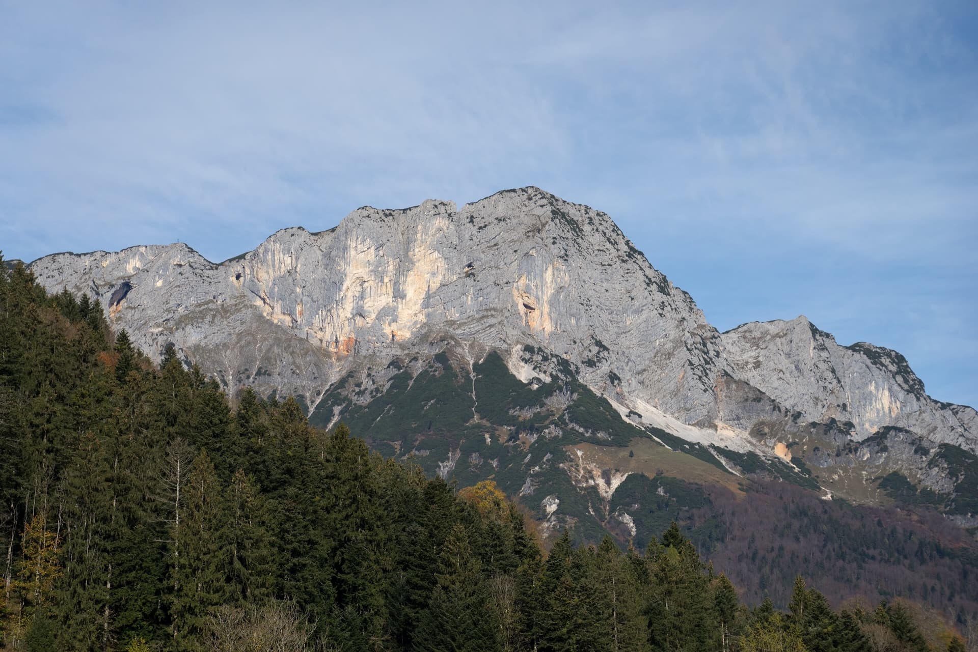
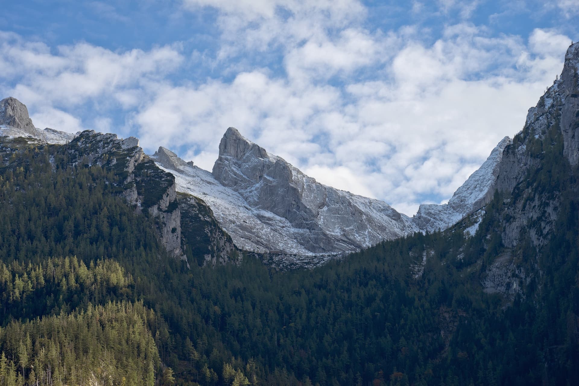
The Berchtesgadener Hochthron, highest point of the Untersberg, seen from Maria Gern: the south face in afternoon light, with the south-east walls on the right.

Germany · Berchtesgaden & Bad Reichenhall

Dahoam is Dahoam

A long-day alpine-flavoured plaisir route on the Untersberg's summit wall. Pitches range from UIAA 5+ to 6+ (≈5b–6b), with 5+ obligatory.

6a+10 pitches250 m

The Rabensteinhorn seen from the Ristfeuchthorn to the west

Germany · Berchtesgaden & Bad Reichenhall

Schmetterlings Kant'n

A steep, athletic line up the pillar right of the Schönheitskönigin von Schneizlreuth, reached by one pitch of that route and one of Alpinmodel. Four independent pitches of UIAA 6 to 7+ on very good rock, then the last pitches of the Schönheitskönigin.

6c7 pitches170 m

Read the cautions

The Schärtenspitze seen from the north-west; the slab routes above the Blaueishütte climb this side of the mountain

Germany · Berchtesgaden & Bad Reichenhall

Logic Line

The shortest and easiest line on the slabs above the Blaueishütte: eight pitches of water-worn limestone slab, ramps and one water runnel, mostly UIAA III with a single IV+ step. It is closely bolted and often used as a first alpine multipitch. You finish next to the normal route and can carry on to the 2153 m summit.

4c8 pitches260 m

Around 5+ · about 8 pitches

Similar elsewhere

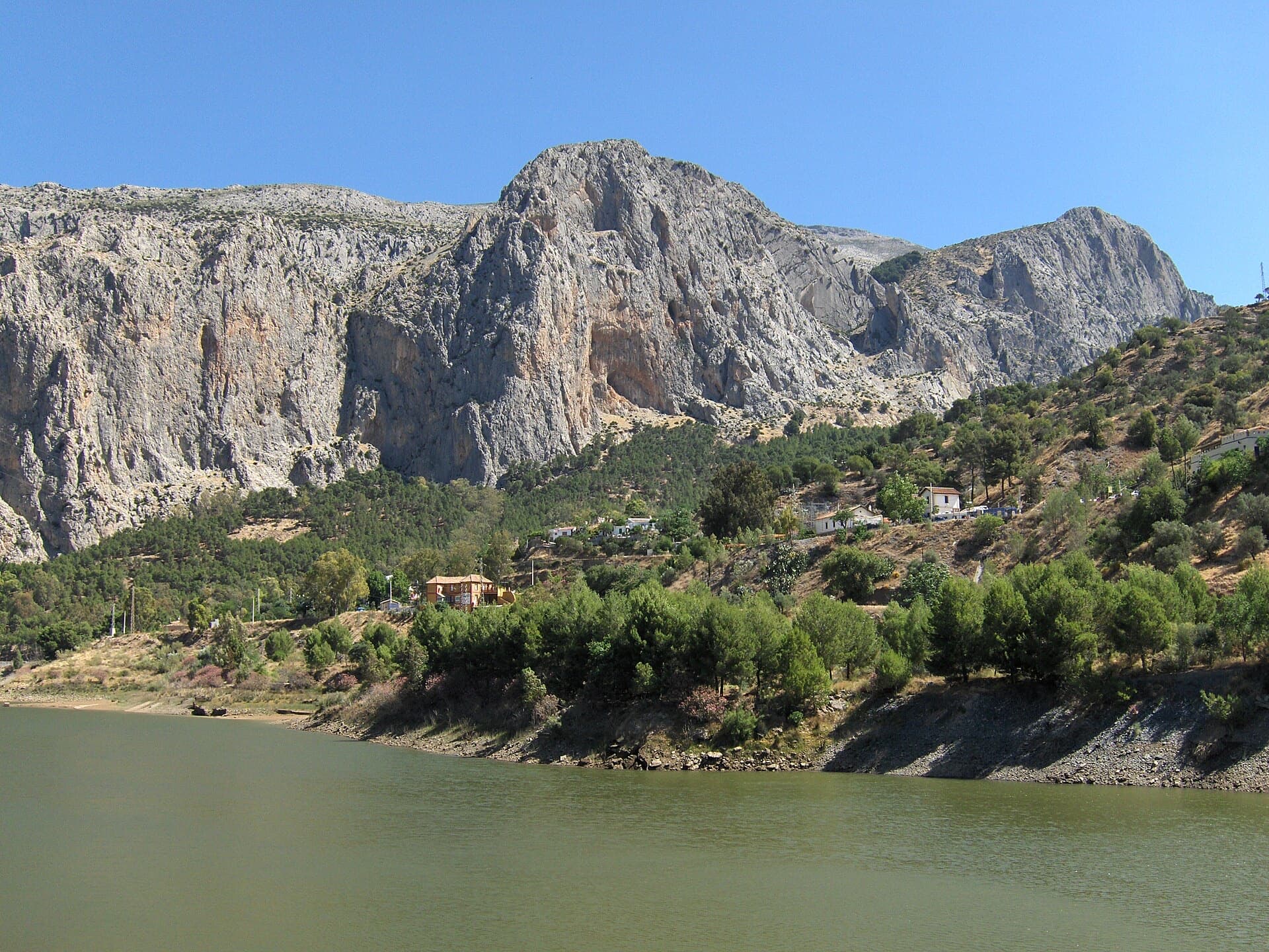
The Frontales cliffs above El Chorro seen across the Tajo de la Encantada reservoir, with the big Poema de Roca cave at the foot of the central dome. Lluvia de Asteroides is on the left-centre of this wall; the line is not marked.

Spain · El Chorro

Lluvia de Asteroides

An airy, exposed adventure on clean, solid rock: the best long easy route on the Frontales and an ideal first big multipitch.

5+8 pitches251 m

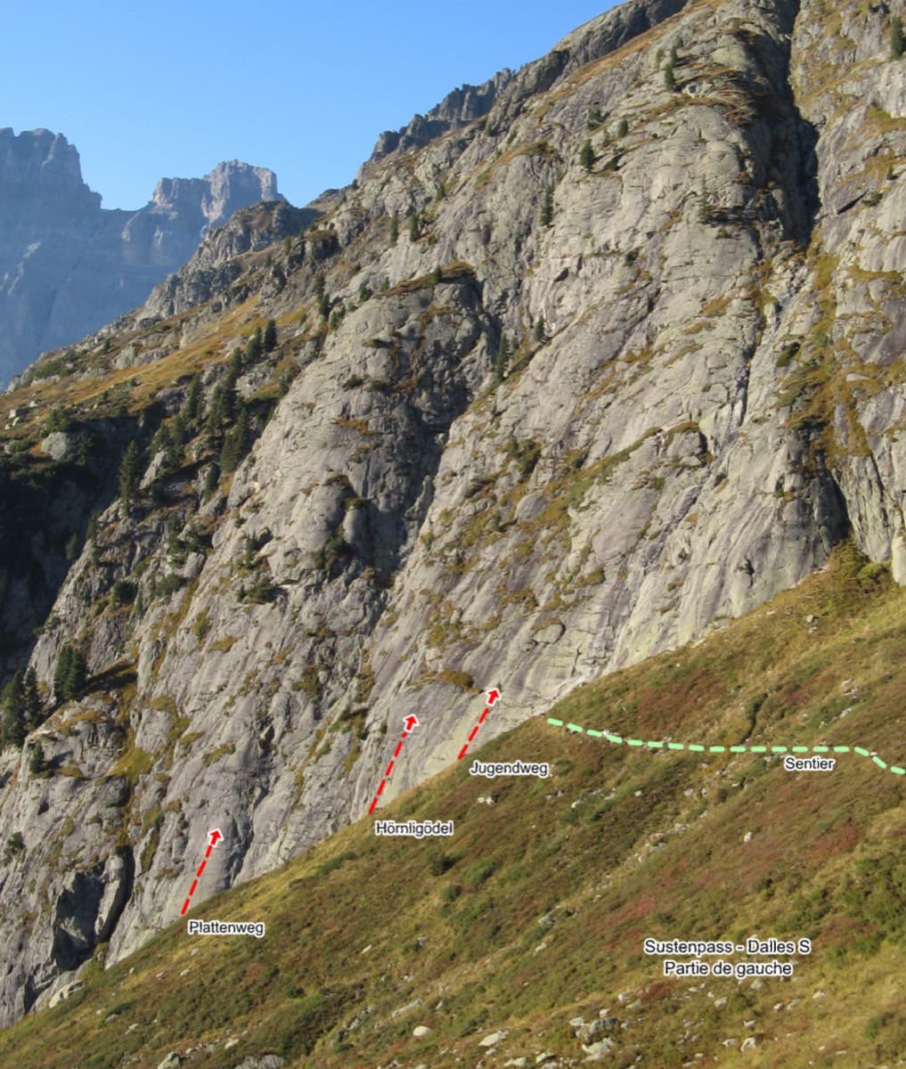
Sustenpass south slabs, left part, with the start of Plattenweg marked

Switzerland · Susten

Plattenweg

Relaxed, low-angle granite slab climbing on small edges, 15 minutes from the Sustenpass road. It makes an ideal first alpine-granite multipitch.

5b+7 pitches200 m

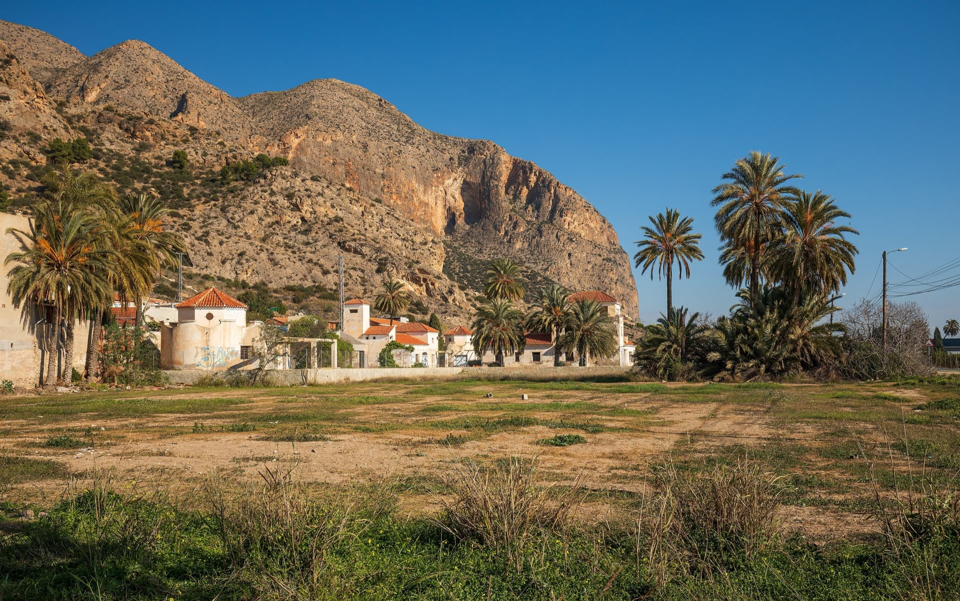
The big orange limestone wall of the Sierra de Callosa directly above Redován, seen from the edge of the village.

Spain · Vega Baja (Orihuela & Callosa)

Espolón P.D.P.

A long, steady V+ spur to the summit of the Sierra de Callosa on exceptional rock. Many terraces allow a safe retreat, which makes it good mileage for building multipitch experience. Check local seasonal climbing restrictions in the Sierra de Callosa.

5+9 pitches500 m

Read the cautions

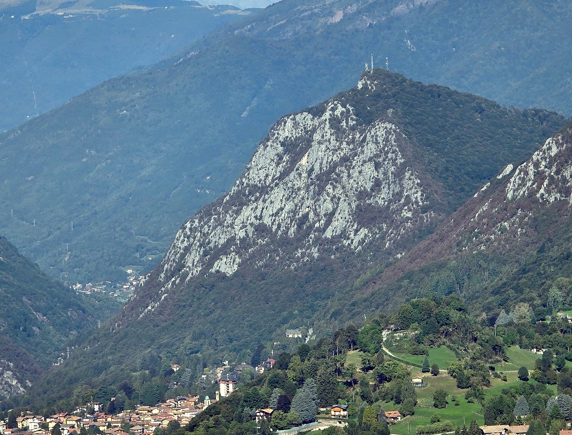
The south side of the Zucco dell'Angelone above Barzio, seen from the Zucco della Croce: the pale limestone spurs (speroni) that hold the multipitch routes run down from the antenna-topped summit. Condorpass is on the fourth spur; individual spurs are not labelled here.

Italy · Lecco & Valsassina

Condorpass

The first route opened on the Zucco dell'Angelone, following the natural line of the fourth spur by corners, cracks, a chimney and friction slabs. Eight varied pitches at 5a to 5b with an easy crest to finish. Never hard but never trivial either.

5b8 pitches220 m

Compiled from published sources and last verified October 2026. Bolts, anchors and access change. Climbing is dangerous and you are responsible for your own decisions: check a current topo and read the disclaimer.