Germany · Berchtesgaden & Bad Reichenhall
Dahoam is Dahoam
A long-day alpine-flavoured plaisir route on the Untersberg's summit wall. Pitches range from UIAA 5+ to 6+ (≈5b–6b), with 5+ obligatory.
6a+10 pitches250 m
Rabensteinhorn (above Bad Reichenhall-Karlstein) · Berchtesgaden & Bad Reichenhall · Germany
Bail with caveatsBolting confidence: high
Six pitches on excellent grippy limestone with views to the Watzmann, established 2012. Pitch grades are converted from the UIAA topo (6-, 6, 6, 5+, 5+, 6); 5 is obligatory.
The route
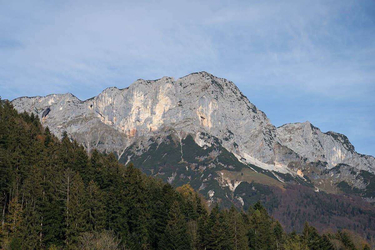
A six-pitch plaisir route on the south-west side of the Rabensteinhorn (1373 m) above Bad Reichenhall-Karlstein, in the Chiemgau Alps. The rock is steep, rough, well-featured limestone, with a pillar, grooved slabs, a strenuous steep start to pitch 3, a chimney and crack, and a short overhanging finish. Every pitch is generously bolted with modern expansion bolts and all belays are on two bolts. The climbing is short (165 m, about 2 h) but the walk-in and walk-off make it a five-hour outing, with a view to the Watzmann.
The climbing
| Pitch | Grade | Length | Notes |
|---|---|---|---|
| P1 | 5c | 30 m | UIAA 6-. Follow the pillar on steep, juggy rock to a belay on a ledge. |
| P2 | 6a | 30 m | UIAA 6. Traverse 2 m right, then easy grooved slabs, finishing up the corner right of a big flake. Belay on top of the flake. The flake is hollow: treat it with care. |
| P3 | 6a | 30 m | UIAA 6. The crux pitch. Several powerful moves on the steep start, easier in the second half. Comfortable belay on a ledge. |
| P4 | 5+ | 30 m | UIAA 5+. Slabby pitch. Some bolts are well off the climbing line: skip or extend them. Finish up a corner to a fairly uncomfortable hanging belay. |
| P5 | 5+ | 25 m | UIAA 5+. Chimney on the left, then a crack and ramp diagonally left. Uncomfortable hanging belay under a small overhang, best skipped by linking into pitch 6. |
| P6 | 6a | 20 m | UIAA 6. Three athletic metres of gentle overhang straight off the belay (2 bolts), then easy broken ground to a tree. Many loose blocks on the exit. |
Getting there
Base is Bad Reichenhall. By car: A8 Munich-Salzburg to the Bad Reichenhall junction, then the B20 bypass to the Karlstein exit; or A8 to Traunstein/Siegsdorf and via Inzell and Weißbach (B305). Park at the walkers' car park in Karlstein below the Kugelbach (Parkplatz Kugelbachweg, about 515 m). An alternative start is the Wandererparkplatz Wegscheid (about 630 m). Public transport: train to Bad Reichenhall, then bus to Karlstein.
1 h 15 to 1 h 30 by the forest road. From the Karlstein car park follow the forest road to Gasthof Kugelbachbauer and on to the Paul-Gruber-Haus (about 50 min; mountain bikes can go as far as the turning place beyond). From the hut take the path south and immediately branch left towards the Müllnerhorn. The path is wide at first, then narrows to a steep, partly exposed and partly cable-secured trail under the south flank of the Rabensteinhorn. Opposite a tree with a red mark, a faint path leads left to the foot of the wall. The start has a name plaque. From Wegscheid the alternative is the Reibwandsteig (partly exposed, cable-equipped), 1 h 30 to 2 h in total.
Loading map
The point marks the base of the route.
Parking
Wandererparkplatz Wegscheid (camptocamp access point)
Point from camptocamp route 1120726
Contains the route point and parking. Opens in most mapping apps and GPS watches.
Points are compiled from published sources, with the precision stated above. They were not surveyed on the ground: check them against a current topo.
Coordinates: 47.69466, 12.82070 (route base) · Parking: 47.70451, 12.80657
Getting down
Walk off. From the end of the route (slings round a big tree, route book) go up right about 30 m of height on path traces, then traverse a long way right on cairned traces across slabs and scree without losing much height, and finally descend a wooded gully to the Müllnerhorn trail. Turn right to get back to the start (about 30 min from the top), then reverse the approach. bergsteigen.com gives 1 h 45 for the whole descent to the car park.
Retreat
Bail with caveats
No source describes a retreat, and the route is set up for a walk-off, not for abseiling. It looks workable all the same: every belay is two bolts without a chain, and the pitches are 20 to 30 m, so a 60 m single rope should reach belay to belay if you leave gear at each one. R4 and R5 are hanging belays, which makes rigging abseils there uncomfortable.
Partly inferred from the route facts
Safety
Sun and weather
South-west facing, low altitude (the summit is 1373 m). bergsteigen.com gives no explicit season; the April to October season listed here could not be checked against a source.
Sun on the wall · SW-facing
Working out the sunlit hours for this month.
Sun on the wallDaylight, wall in shade● Usual season
Estimated from the wall's aspect only. Ignores surrounding terrain, gullies and the wall's exact shape. Clock times are local to the wall (Central European time), for the 15th of each month.
| Measure | Jan | Feb | Mar | Apr (usual season) | May (usual season) | Jun (usual season) | Jul (usual season) | Aug (usual season) | Sep (usual season) | Oct (usual season) | Nov | Dec |
|---|---|---|---|---|---|---|---|---|---|---|---|---|
| Mean daily high °C | −1 | 0 | 3 | 7 | 12 | 16 | 18 | 18 | 14 | 10 | 4 | −1 |
| Mean daily low °C | −10 | −9 | −6 | −3 | 2 | 6 | 8 | 8 | 5 | 1 | −5 | −9 |
| Rain days 1 mm or more | 14 | 14 | 17 | 16 | 20 | 20 | 21 | 19 | 16 | 14 | 13 | 15 |
| Sunshine hours a day | 5.5 | 6.6 | 8.1 | 10.0 | 10.3 | 11.0 | 11.2 | 10.4 | 8.6 | 7.2 | 5.7 | 5.0 |
● marks the usual climbing season. Averages for 1991-2020 at about 1337 m. Area climate from Open-Meteo reanalysis (about 10 km grid): the wall and valley can differ. Data: Open-Meteo, CC BY 4.0.
What to carry
Single 60 m rope. 11 quickdraws (bergsteigen.com) or 12 with 2 extendable (camptocamp). Slings for the belays, which are two bolts without chain. Helmet. No nuts or cams needed.
Derived from the route data; check it against a current topo
From climbers
Reader reports are not being collected yet. Until they are, check a current topo and the local club or guidebook publisher for recent changes to Die Schönheitskönigin von Schneizlreuth.
Worth knowing
Open questions
Provenance
Same area
Germany · Berchtesgaden & Bad Reichenhall
A long-day alpine-flavoured plaisir route on the Untersberg's summit wall. Pitches range from UIAA 5+ to 6+ (≈5b–6b), with 5+ obligatory.
6a+10 pitches250 m
Germany · Berchtesgaden & Bad Reichenhall
A steep, athletic line up the pillar right of the Schönheitskönigin von Schneizlreuth, reached by one pitch of that route and one of Alpinmodel. Four independent pitches of UIAA 6 to 7+ on very good rock, then the last pitches of the Schönheitskönigin.
6c7 pitches170 m
Read the cautions
Around 6a · about 6 pitches
Croatia · Omiš
Omiš's signature moderate: long, slabby pitches on knobbly grey limestone with big views over the Cetina mouth and the Adriatic. The crux is a short crack on the final pitch.
6a6 pitches230 m
Spain · Mallorca (Sa Gubia)
A steady 6a sport line, the first bolt line right of the open-book corner on the Bomberos wall. A harder P2 variation ('Sonrisa Vertical') is available.
6a6 pitches152 m
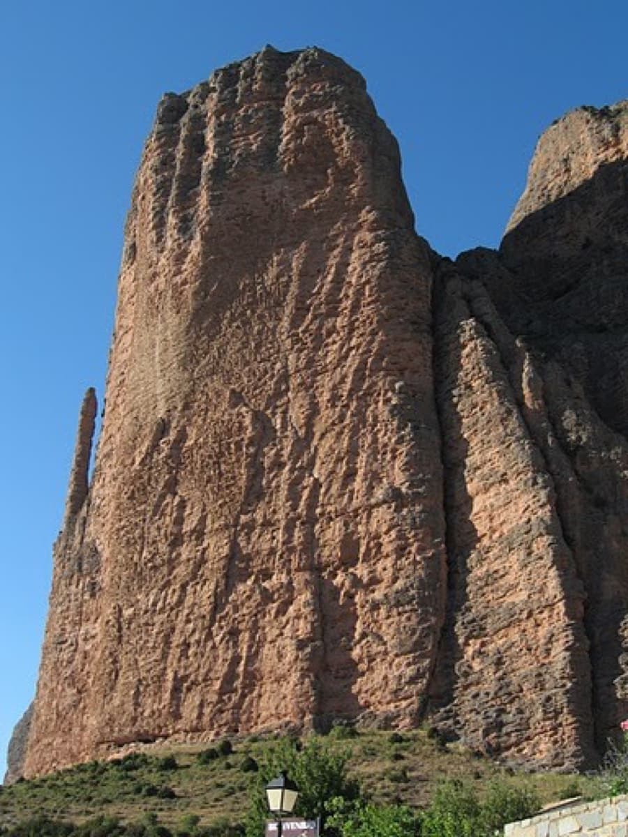
Spain · Riglos & Agüero (Mallos)
This is the gentlest way to sample Riglos. Polished pockets and two bulging 'panzas' lead to a 6a crux that can be pulled through on the bolts (A0). The upper spur is easy, and the Pisón towers loom close by.
6a7 pitches175 m
Read the cautions
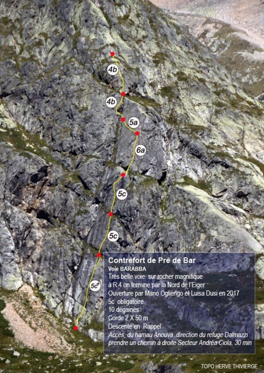
Italy · Aosta Valley
A pretty plaisir route on edgy, quartz-studded granite slabs beneath the Mont Blanc massif. The crux is a short bulge and steep juggy wall on P4. Camptocamp rates it 'great'.
6a7 pitches180 m
Compiled from published sources and last verified October 2026. Bolts, anchors and access change. Climbing is dangerous and you are responsible for your own decisions: check a current topo and read the disclaimer.