Multipitch Atlas

Jakobsweg

Zwieselkopf east-facing slabs (above the Klausenalm), Ginzling · Zillertal · Austria

Read the cautionsBail with caveatsBolting confidence: medium

Twelve long pitches of slab climbing up an unremarkable-looking wall near the Klausenalm, getting harder towards the top. The length, the bolting and the short approach are rare in the Eastern Alps. The price is the descent: a steep, rough scramble and four abseils that the sources call delicate.

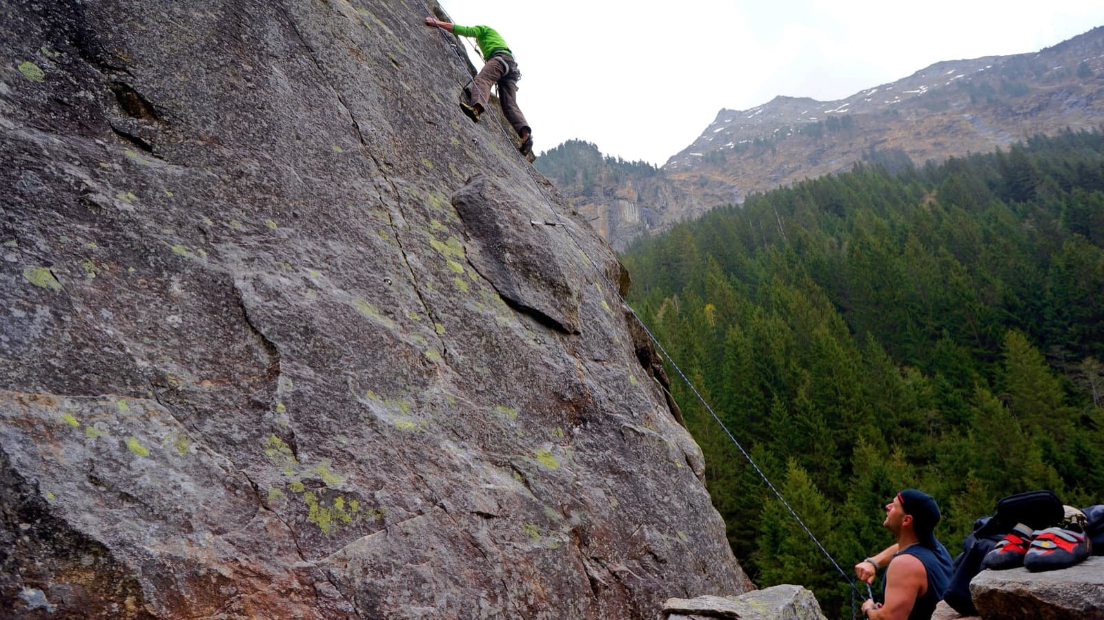
A view of the region, not this route's wall. Slab climbing at the Ewige Jagdgründe crag near Ginzling in the Zillertal; the Wiegelwand is the wall above this sector and is not in the picture.Photo: Fuchs Robert · CC BY 3.0

Photo

A view of the region, not this route's wall. Slab climbing at the Ewige Jagdgründe crag near Ginzling in the Zillertal; the Wiegelwand is the wall above this sector and is not in the picture.Photo: Fuchs Robert · CC BY 3.0
Hardest pitch
5c+
Pitches
12
Length
570 m
Approach
45 min
Aspect
E
East-facing
Rope
2×60 m
Read before you go

The climbing is well bolted, but the descent is steep, delicate and badly affected by wet, and the only description is from 2012.

The route

Overview

The Jakobsweg was bolted by Fritz Amann and Bernd Neubert in August 2012 on a slab wall of the Zwieselkopf, a short way up the Zemmgrund from Gasthof Breitlahner. It is 570 m of slab climbing: UIAA 5 to 5+ for the first seven pitches, then 6- and 6 on smoother rock to the top. The pitches run to 55 m. The route itself is well protected, but bergsteigen.com says it is not for complete beginners because of the descent, which follows a steep marked line beside the route and ends with four abseils. Dampness is a problem both on the slabs and on the way down.

The climbing

Pitch by pitch

Pitches of Jakobsweg
PitchGradeLengthNotes
P15a50 mUIAA 5. Slabs.
P25+55 mUIAA 5+.
P35+40 mUIAA 5+. Over the first bulge.
P45a40 mUIAA 5. Slabs after the big bulge.
P55+55 mUIAA 5+.
P65+55 mUIAA 5+.
P75+55 mUIAA 5+.
P85c55 mUIAA 6-. The slabs become smoother.
P95c+45 mUIAA 6.
P105c50 mUIAA 6-.
P115c+35 mUIAA 6.
P125c+35 mUIAA 6. Exit rightwards into the forest to a tree; the route book is a little lower.

Getting there

Approach

To the parking

Drive up the Zillertal past Mayrhofen to Ginzling and continue up the valley to the toll station at Gasthof Breitlahner. Park either at the Breitlahner or, just before it on the right, at the Ewige Jagdgründe crag; both car parks charge a fee. By public transport take the train to Mayrhofen and the bus to Gasthof Breitlahner. For this route park at Gasthof Breitlahner (1257 m).

On foot · about 45 min

From Gasthof Breitlahner walk towards the Berliner Hütte as far as the Klausenalm. A bridge crosses the stream on the right there. Follow the forest road on the far bank up the valley to a fork by a meadow and take the right-hand, grassed-over track to its end. From there follow the yellow dots exactly: first a little above the meadow in the forest up the valley, then rising to the right to the start at about 1450 m, where the name is written on the rock. Allow 45 minutes.

Map of the walk-in

  • Route base
  • Parking

Loading map

The point marks the base of the route.

Coordinates · route base

47.04690, 11.75320

Parking

47.06113, 11.75003

Pay car park at Gasthof Breitlahner

Point from bergsteigen.com map marker 'Einstieg (ungefähr)'

For your phone or watch

Download GPX

Contains the route point and parking. Opens in most mapping apps and GPS watches.

Points are compiled from published sources, with the precision stated above. They were not surveyed on the ground: check them against a current topo.

Getting down

Descent

From the tree go straight down steeply, following the yellow marks exactly; leaving them is dangerous. Lower down make four abseils of 25 m. The abseil piste starts in a lane through dwarf pines, which may not look logical, and the second station is hidden directly below a 3 m roof. bergsteigen.com advises lowering the first climber instead of letting them abseil. At the bottom bear slightly right to rejoin the approach path. Allow 1 h 30. A photo caption from 2012 says the first ascensionists intended to add short fixed ropes in 2013; whether that happened is not recorded.

Retreat

Bailing off the route

Bail with caveats

bergsteigen.com says you can abseil the route if you must, but only in a real emergency, because several large flakes are loose and the ropes could dislodge them. The normal way down is the marked descent beside the route from the top.

Retreat from
Bolted belays, in an emergency only.
Point of no return
Not defined. With twelve long pitches, decide early: the higher you are, the longer the abseil retreat past the loose flakes.
Carry
Two 60 m ropes, since pitches reach 55 m.
Basis
Stated in the sourcesbergsteigen.com: abseiling over the route is possible in an emergency but should be avoided because of loose flakes.

Safety

Hazards

  • The descent is steep and delicate and needs good footwear and alpine experience. Stay exactly on the yellow marks.
  • The second abseil station is hidden below a 3 m roof.
  • Some large flakes on the route are not fully solid, which is why abseiling the route is reserved for emergencies.
  • Damp slabs: you should be solid at UIAA 6 so that the slabs still go when they are a little wet.

Sun and weather

Conditions

East facing, start at about 1450 m. Wetness is the main problem, both for the slab climbing and for the descent: wait for a longer dry spell. A party in early October found the upper slabs wet on the second sunny day after rain. A first ascensionist's caption says you need sun cream in summer. No season is published; June to September is an estimate.

Usual season · Jun to Sep

Sun on the wall · E-facing

Working out the sunlit hours for this month.

  • January: not yet worked out
  • February: not yet worked out
  • March: not yet worked out
  • April: not yet worked out
  • May: not yet worked out
  • June (usual season): not yet worked out
  • July (usual season): not yet worked out
  • August (usual season): not yet worked out
  • September (usual season): not yet worked out
  • October: not yet worked out
  • November: not yet worked out
  • December: not yet worked out

Sun on the wallDaylight, wall in shade● Usual season

Estimated from the wall's aspect only. Ignores surrounding terrain, gullies and the wall's exact shape. Clock times are local to the wall (Central European time), for the 15th of each month.

Monthly climate averages for Zillertal, 1991-2020
MeasureJanFebMarAprMayJun (usual season)Jul (usual season)Aug (usual season)Sep (usual season)OctNovDec
Mean daily high °C−11471217191915104−0
Mean daily low °C−9−8−5−2279951−4−8
Rain days 1 mm or more121215162021201814121313

● marks the usual climbing season. Averages for 1991-2020 at about 1432 m. Area climate from Open-Meteo reanalysis. Temperatures are adjusted to the height of the crag; rain comes from a grid cell of about 10 to 25 km, and summer highs on sea cliffs can read a few degrees low. The wall and valley can differ. Data: Open-Meteo, CC BY 4.0.

What to carry

Gear

60 m double ropes, 14 quickdraws, a helmet and sturdy shoes for the descent. No nuts or cams. theCrag also gives 14 for the route.

Checklist

Quickdraws
14
Rope
2×60 m
Helmet
One each
Abseil device and prusik
The descent or the retreat involves abseiling

Derived from the route data; check it against a current topo

From climbers

Reader reports

Reader reports are not being collected yet. Until they are, check a current topo and the local club or guidebook publisher for recent changes to Jakobsweg.

Worth knowing

Tips

  • Allow about 5 hours for the climb and more than 7 hours car to car.
  • Carry your approach shoes up the route; you need them for the descent.
  • Pitches are up to 55 m: a 50 m rope is not enough.

Open questions

Where sources disagree

  • Pitch grades and lengths come from theCrag (12 pitches adding up to 570 m); the bergsteigen.com topo is behind a login.
  • Rope: the bergsteigen.com data field says 2×60 m, its gear line says '1×60 m double rope'. With 55 m pitches and an emergency retreat in mind, two 60 m ropes are used on the card.
  • Spelling: Zwiselkopf (bergsteigen.com) against Zwieselkopf (theCrag).
  • Height gain: bergsteigen.com gives 350 m of height for 570 m of climbing.
  • The description dates from September 2012; no newer account of the descent was found.

Provenance

Sources

Same area

More in Zillertal

All routes in Zillertal
Slab climbing at the Ewige Jagdgründe crag near Ginzling in the Zillertal; the Wiegelwand is the wall above this sector and is not in the picture.

Austria · Zillertal

Schwarzer Teufel

A slab route on the left side of the Wiegelwand with steep passages on small edges; UIAA 7/7+ at the crux on pitch 3, 6 to 6+ obligatory. The easier pitches are a bit grassy. Often wet, so look from below first.

6b+5 pitches110 m
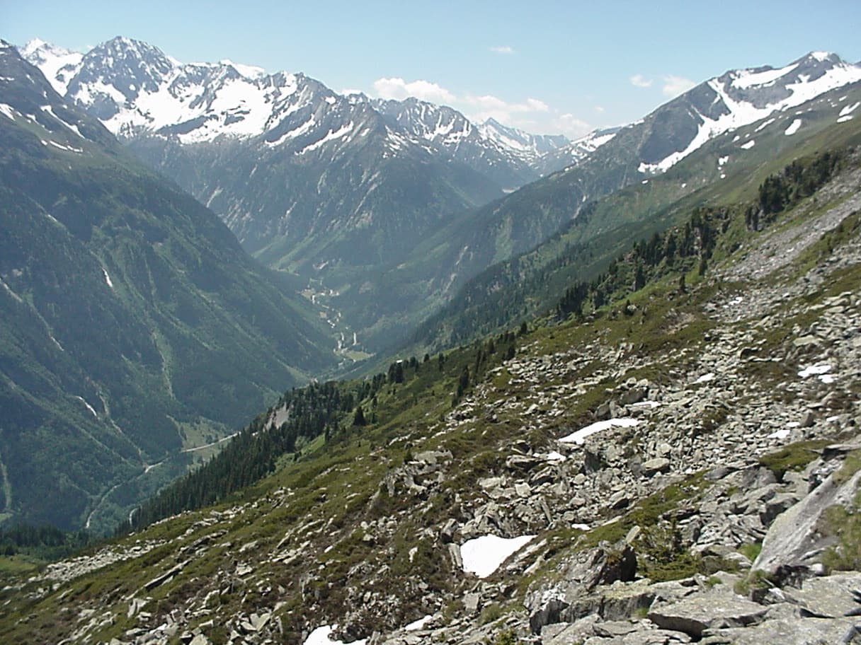
The upper Zemmtal with Gasthof Breitlahner on the valley floor, the starting point for the Karlkopf routes

Austria · Zillertal

Herzblut

bergsteigen.com counts it among the best easier multipitch routes in the Zillertal and one of the few true plaisir lines there. Six pitches of featured slabs, steep walls studded with quartz crystals and fine flakes, with very little smooth rock. Three pitches reach UIAA 6-.

5c6 pitches200 m

A view of the region, not this route's wall. Slab climbing at the Ewige Jagdgründe crag near Ginzling in the Zillertal; the Wiegelwand is the wall above this sector and is not in the picture.

Austria · Zillertal

Blutwurst

The second plaisir route on the Karlkopf, ending at the same point as Herzblut. It starts on grippy slabs, then follows a cleft in the mountain that closes into a chimney: you climb two short pitches inside the rock. One pitch of UIAA 6+ lower down is the crux.

6a+8 pitches205 m

A view of the region, not this route's wall. Slab climbing at the Ewige Jagdgründe crag near Ginzling in the Zillertal; the Wiegelwand is the wall above this sector and is not in the picture.

Austria · Zillertal

Alpiner Spätaufsteher

A granite slab route beside a washed-out stream bed and a small waterfall, described as the new slab classic of the Zillertal. Mostly around UIAA 5 on fine slabs, with short harder passages and a 6/6+ exit. Never very exposed, with a view of the 3000 m peaks.

6a7 pitches255 m

Around 5c+ · about 12 pitches

Similar elsewhere

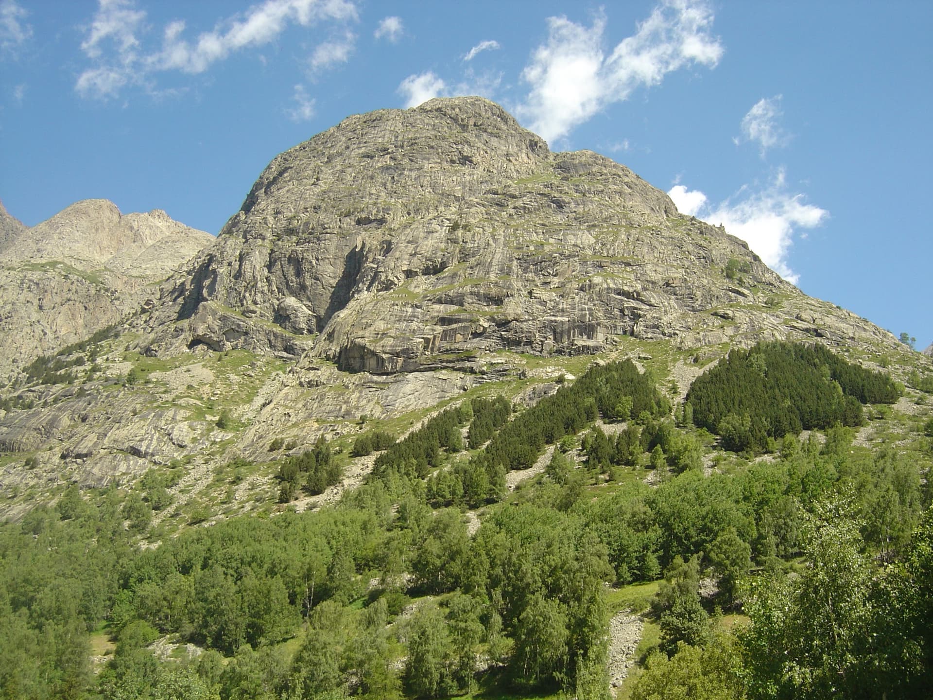
The granite slabs of the south face of the Tête de la Maye above the larches of La Bérarde; Pujolidal climbs this face, the exact line is not marked.

France · La Bérarde (Écrins)

Pujolidal

The great classic of the Tête de la Maye: 13 pitches of rounded granite slab above La Bérarde with nothing athletic until the last hard pitch, a flake and wide crack of 5c+ that everyone remembers. Recently rebolted and very closely protected. It is camptocamp's reference route for the overall grade D.

5c+13 pitches350 m

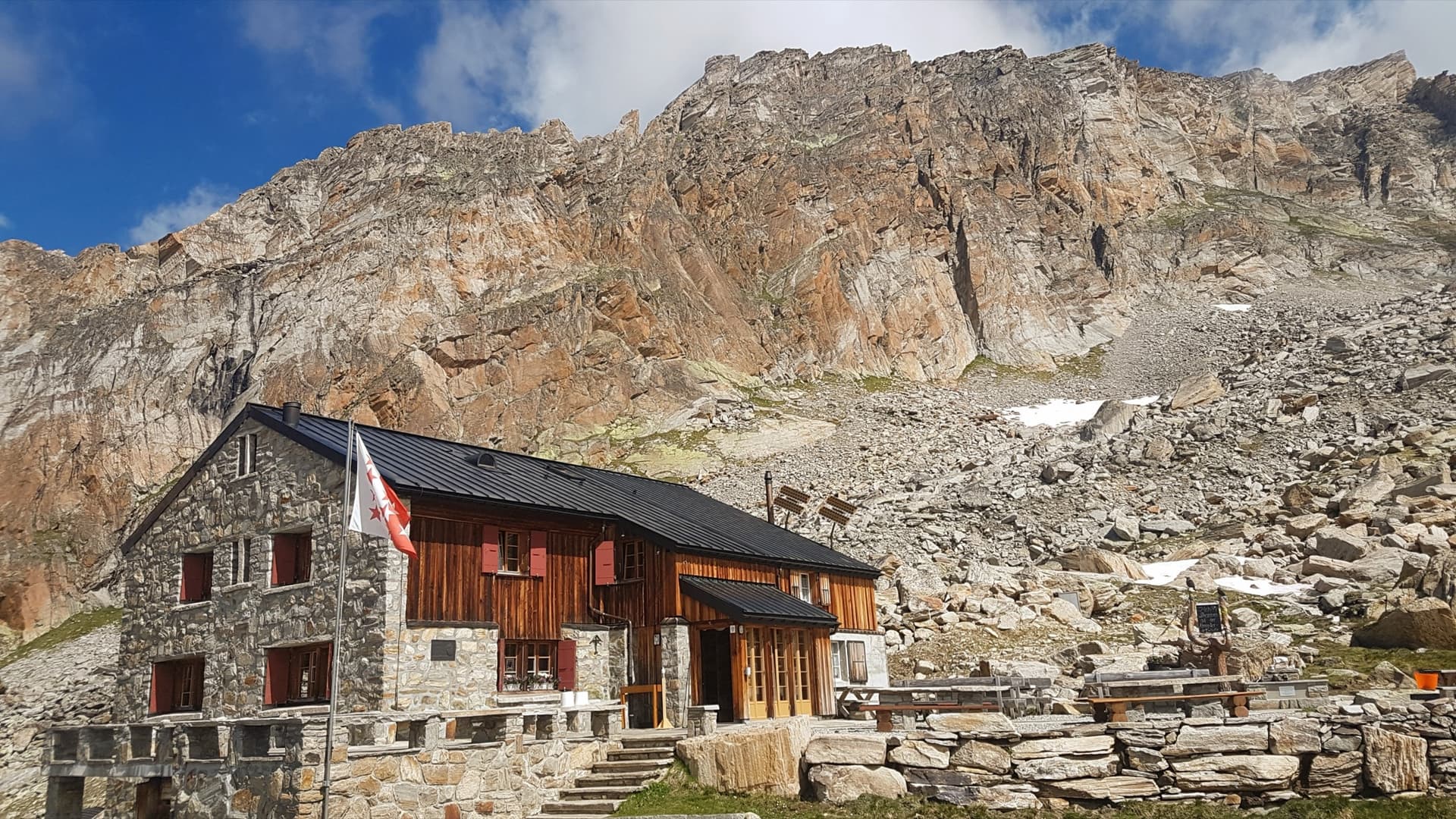
A view of the region, not this route's wall. The Almagellerhütte with the orange gneiss walls of the Dri Horlini rising directly behind it.

Switzerland · Saas Valley

Netlo S-O

A long, well-bolted alpine outing to the crest of the Jegigrat at over 3200 m: eleven pitches around 5a to 5c, with wide views of the Saas four-thousanders. The climbing is a series of steps separated by terraces, and the rock is flaky and lichenous in places. The way home goes over the Jegihorn by the via ferrata, so it is a full day.

5c+11 pitches350 m

Read the cautions

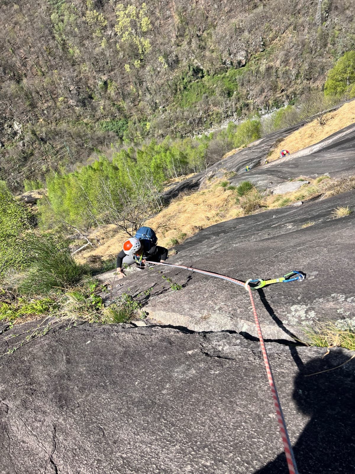
A view of the region, not this route's wall. Looking down the dark gneiss slabs of Il Solitaire above the Val d'Ossola.

Italy · Val d'Ossola

Il Cammino del Sole

Twelve long pitches of sunny gneiss slab above Oira, mostly 4c to 5b+ with two 6a pitches: a thin slab at the start and an athletic corner on pitch 10. Pitches are up to 55 m. A winter-sun route with a summit book and plaques at both ends.

6a12 pitches530 m

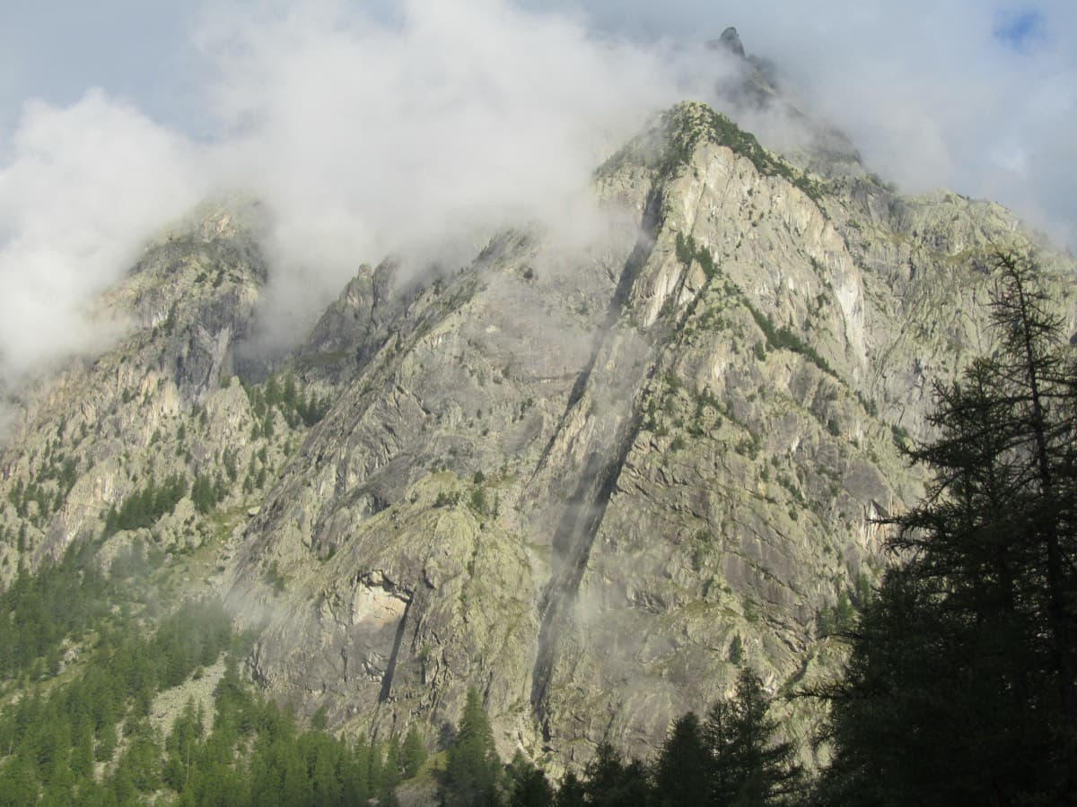
The Palavar slabs above Ailefroide; Palavar-les-Flots follows the leaning pillar on the left

France · Ailefroide

Palavar-les-Flots

Ailefroide's best-known easy long route: a consistent run of 4th-grade slab and pillar climbing with two harder steps (5b+ on L4, a 5c friction move on L8). It is very popular, so start early.

5c12 pitches310 m

Compiled from published sources and last verified October 2026. Bolts, anchors and access change. Climbing is dangerous and you are responsible for your own decisions: check a current topo and read the disclaimer.