Multipitch Atlas

Netlo S-O

Jegigrat – south-east face (Weissmieshütte) · Saas Valley · Switzerland

Read the cautionsBail with caveatsBolting confidence: high

A long, well-bolted alpine outing to the crest of the Jegigrat at over 3200 m: eleven pitches around 5a to 5c, with wide views of the Saas four-thousanders. The climbing is a series of steps separated by terraces, and the rock is flaky and lichenous in places. The way home goes over the Jegihorn by the via ferrata, so it is a full day.

A view of the region, not this route's wall. The Almagellerhütte with the orange gneiss walls of the Dri Horlini rising directly behind it.Photo: julien Burnod · CC BY-SA 3.0

Photo

A view of the region, not this route's wall. The Almagellerhütte with the orange gneiss walls of the Dri Horlini rising directly behind it.Photo: julien Burnod · CC BY-SA 3.0
Hardest pitch
5c+
Pitches
11
Length
350 m
Approach
45 min
Aspect
SE
South-east-facing
Rope
1×50 m
2×50 m for an emergency abseil
Read before you go

The bolting is excellent, but the rock is flaky with loose terraces, and the only sensible way off is a long return over the Jegihorn via ferrata.

The route

Overview

Netlo S-O is one of the routes opened in 2017 on the south-east face of the Jegigrat, the ridge that runs north from the Jegihorn above the Weissmieshütte. It has eleven homogeneous pitches, with the hardest move at 5c+ on pitch 3. Opinions differ sharply: two 2020 parties enjoyed comfortable belays and steady climbing, while a 2021 party found it discontinuous, with doubtful flakes, and preferred the Jegihorn south face. Count three to four hours on the route and at least eight hours from Kreuzboden and back.

The climbing

Pitch by pitch

Pitches of Netlo S-O
PitchGradeNotes
P15bNo pitch-by-pitch description is published; the hut topo gives grades only. This first pitch is in the shade early: a mid-July party found belay 1 in the sun at 08:00.
P24cGrade from the hut topo. Reports describe the whole route as short steps separated by terraces, roughly one terrace per pitch.
P35c+The hardest pitch on the hut topo.
P45bGrade from the hut topo.
P55cGrade from the hut topo.
P65aGrade from the hut topo.
P75bGrade from the hut topo.
P85bGrade from the hut topo.
P95cGrade from the hut topo.
P104aGrade from the hut topo.
P115aGrade from the hut topo; the route ends on the crest of the Jegigrat.

Getting there

Approach

To the parking

Saas-Grund is in the Saas Valley above Visp (Valais); postbuses run from Visp station. Take the Hohsaas gondola from Saas-Grund to its middle station, Kreuzboden (2397 m). The Weissmieshütte (2726 m) is about 30 to 45 minutes above Kreuzboden on a marked path. A 2021 party advises taking the first cabin up so as not to miss the last one down (16:45 that year). The Weissmieshütte has been under reconstruction since May 2026 and a Bergwelten hut listing reportedly shows it closed from mid-August 2026 for the rest of the season (seen in search results only, not confirmed on the hut's own site). Check the hut website for the current state before planning a night there; the routes can be done as day trips from the gondola.

On foot · about 45 min

From the Weissmieshütte follow the right-bank moraine towards the Jegigrat to the foot of the face, about 45 minutes. The start is marked NETLO SO in yellow on the rock (a 2021 party found the name on a stone glued to the base). From Kreuzboden allow about 1 h 30.

Map of the walk-in

  • Crag
  • Parking

Loading map

The point marks the crag, not the exact start of the route.

Coordinates · crag

46.15810, 7.97780

Parking

46.13903, 7.96333

Kreuzboden, middle station of the Hohsaas gondola from Saas-Grund (camptocamp access waypoint 465854); the trailhead. Cars are left at the valley station in Saas-Grund.

Point from camptocamp summit waypoint 372896 (Jegigrat, point 3350 m)

For your phone or watch

Download GPX

Contains the route point and parking. Opens in most mapping apps and GPS watches.

Points are compiled from published sources, with the precision stated above. They were not surveyed on the ground: check them against a current topo.

Getting down

Descent

From the top follow the broad, rubbly ridge down towards the Jegihorn to the notch at the foot of its north ridge, where you meet the via ferrata. Follow it to the summit of the Jegihorn; there is an airy variant across the suspension bridge and a more direct line from the notch. Then descend the blue-and-white marked path. The hut site allows a good two hours to the hut; a 2020 party took one hour from the top of the route to the Jegihorn summit and a further hour and a half to Kreuzboden. Abseiling is possible in an emergency but not recommended because of stonefall.

Retreat

Bailing off the route

Bail with caveats

The hut and camptocamp both say the route can be abseiled in an emergency with two 50 m ropes, and that Netlo is the best line on the face for doing so. They also warn against it because every terrace is covered in loose stones. A 2021 party thought abseiling it would be reckless.

Retreat from
From any belay, on the route itself.
Point of no return
High on the route the walk-off over the Jegihorn becomes the safer choice, but it adds two hours and a via ferrata.
Carry
2×50 m ropes; great care not to dislodge stones on the terraces.
Basis
Stated in the sourcesWeissmieshütte website and camptocamp; the warning is reinforced by a 2021 trip report.

Safety

Hazards

  • Flaky rock: thin flakes need gentle handling, and a 2021 leader pulled off a hold of about 3 kg.
  • Every belay terrace holds loose stones, so stonefall is a real risk with parties above or below. Camptocamp warns against the route when several teams are on it.
  • One belay sits on a small block that a 2021 party judged poorly attached.
  • The descent is long and crosses a via ferrata at over 3000 m; allow for it when watching the weather and the last gondola.
  • Abseiling the route is for emergencies only.

Sun and weather

Conditions

South-east facing, from about 2850 m to the ridge at over 3200 m (camptocamp gives 3250 m). Season roughly July to September. The face catches the sun early. Dried black lichen coats some of the rock; it was not a problem in dry conditions in 2020.

Usual season · Jul to Sep

Sun on the wall · SE-facing

Working out the sunlit hours for this month.

  • January: not yet worked out
  • February: not yet worked out
  • March: not yet worked out
  • April: not yet worked out
  • May: not yet worked out
  • June: not yet worked out
  • July (usual season): not yet worked out
  • August (usual season): not yet worked out
  • September (usual season): not yet worked out
  • October: not yet worked out
  • November: not yet worked out
  • December: not yet worked out

Sun on the wallDaylight, wall in shade● Usual season

Estimated from the wall's aspect only. Ignores surrounding terrain, gullies and the wall's exact shape. Clock times are local to the wall (Central European time), for the 15th of each month.

Monthly climate averages for Saas Valley, 1991-2020
MeasureJanFebMarAprMayJunJul (usual season)Aug (usual season)Sep (usual season)OctNovDec
Mean daily high °C−8−6−3−049121284−3−7
Mean daily low °C−15−14−11−7−31330−4−10−14
Rain days 1 mm or more121112141719191815141413

● marks the usual climbing season. Averages for 1991-2020 at about 2575 m. Area climate from Open-Meteo reanalysis. Temperatures are adjusted to the height of the crag; rain comes from a grid cell of about 10 to 25 km, and summer highs on sea cliffs can read a few degrees low. The wall and valley can differ. Data: Open-Meteo, CC BY 4.0.

What to carry

Gear

12 quickdraws, a 50 m rope, a helmet and a via ferrata set for the return over the Jegihorn. Two 50 m ropes only if you want the emergency abseil option.

Checklist

Quickdraws
12
Rope
1×50 m (2×50 m for an emergency abseil)
Helmet
One each
Abseil device and prusik
The descent or the retreat involves abseiling

Derived from the route data; check it against a current topo

From climbers

Reader reports

Reader reports are not being collected yet. Until they are, check a current topo and the local club or guidebook publisher for recent changes to Netlo S-O.

Worth knowing

Tips

  • Take the first gondola: a 2021 party needed 8 h 30 from Kreuzboden to Kreuzboden.
  • If you want better rock at the same grade, the south face of the Jegihorn (Alpendurst, Panorama, Südkante) is the usual recommendation.
  • The neighbouring Ländiweg (6b) and Hagelstock (6a+) share the approach and descent.

Open questions

Where sources disagree

  • Name: Netlo S-O on the hut site, Netlo SW on one of two duplicate camptocamp pages. Netlo is Olten spelled backwards.
  • Overall grade: D on one camptocamp page, D+ on the other.
  • Quality: praised by two 2020 parties, criticised for loose, discontinuous climbing by a 2021 party.
  • Pitch lengths are not published; 350 m is camptocamp's height of the difficulties.
  • The pitch notes above are limited to what the reports state; the topo gives grades only.

Provenance

Sources

Same area

More in Saas Valley

All routes in Saas Valley
The south face of the Jegihorn seen from the approach path; Alpendurst climbs the middle of the face to the summit

Switzerland · Saas Valley

Alpendurst

Fourteen pitches of steady 4b and 4c on good gneiss that finish at the summit cross of a 3206 m peak, reached from a gondola. It is the best-known plaisir route on the Jegihorn, closely bolted with chained belays, and often climbed in mountain boots as a first long alpine rock route. Expect company: it is very busy in high summer.

4c14 pitches350 m
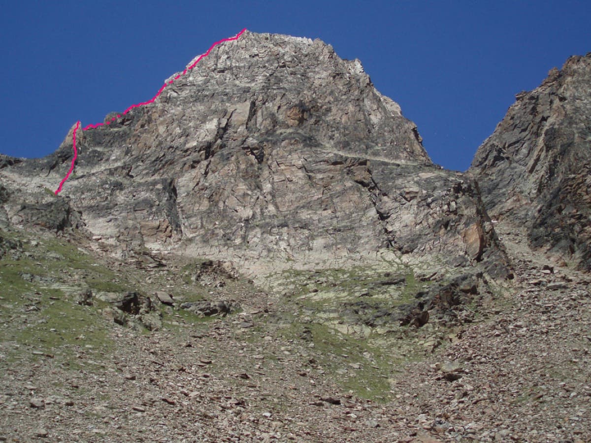
The Jegihorn from the south with the line of the Südkante drawn along the left-hand skyline

Switzerland · Saas Valley

Südkante (South Ridge)

The left edge of the Jegihorn's south face: a 1922 ridge climb turned into a bolted outing of many short pitches, mostly grade 3 and 4. The one real step is the red gendarme, a well-bolted pitch of 5a. More varied than Alpendurst, with slabs, a short steep wall and narrow sections of crest, and a summit finish at 3206 m.

5a18 pitches300 m

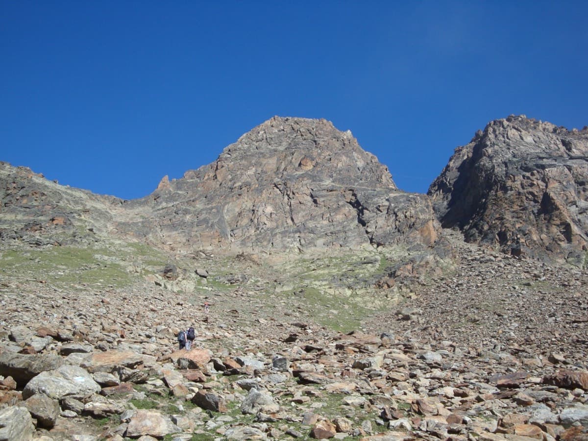
The Jegihorn south face from the approach; Panorama is the right-hand route on the face

Switzerland · Saas Valley

Panorama

The right-hand of the Jegihorn's three easy bolted routes and the quietest. Ten long pitches up low-angled slabs and then a steeper, airy central section on sharp flakes and edges, finishing along a short crest to the 3206 m summit. Bolts are further apart than on Alpendurst and the belays are unlinked, so it suits a leader who is steady at 4c.

5a10 pitches360 m

Read the cautionsCommitting

On Verdauungsweg, Dri Horlini: stepped tawny gneiss above the Almagellerhütte

Switzerland · Saas Valley

Verdauungsweg

The 'digestion route': four 20 m pitches of grade 3 and 4 on solid gneiss, fifteen minutes above the Almagellerhütte at 2900 m. Very closely bolted, with iron rods to stand on at the two steepest steps, and well suited to practising in mountain boots or to a first multipitch after the walk up to the hut.

4b4 pitches80 m

Around 5c+ · about 11 pitches

Similar elsewhere

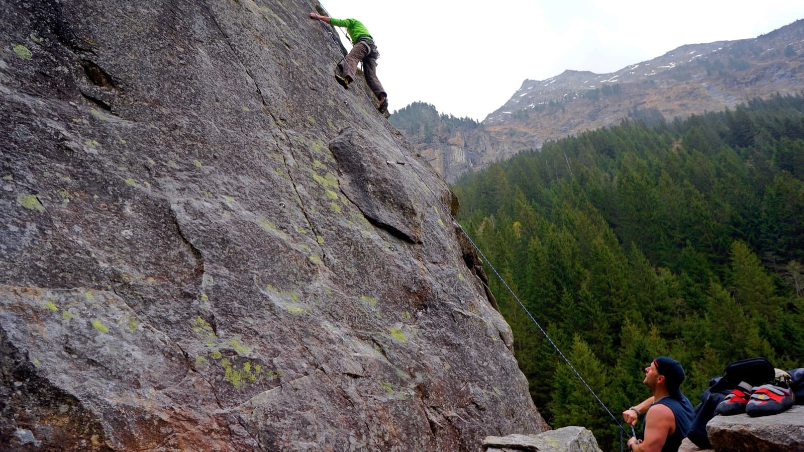
A view of the region, not this route's wall. Slab climbing at the Ewige Jagdgründe crag near Ginzling in the Zillertal; the Wiegelwand is the wall above this sector and is not in the picture.

Austria · Zillertal

Jakobsweg

Twelve long pitches of slab climbing up an unremarkable-looking wall near the Klausenalm, getting harder towards the top. The length, the bolting and the short approach are rare in the Eastern Alps. The price is the descent: a steep, rough scramble and four abseils that the sources call delicate.

5c+12 pitches570 m

Read the cautions

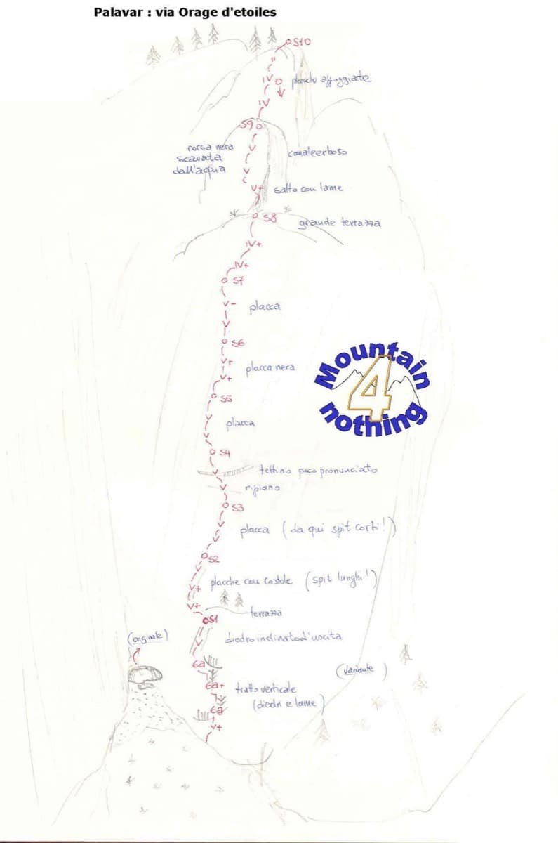
Hand-drawn sketch topo of Orage d'étoiles, Ailefroide

France · Ailefroide

Orage d'étoiles

One of the best-known slab routes at Ailefroide: eleven pitches up the big inclined plane on the foothills of the Pelvoux, directly above the village. The style never changes, slab from bottom to top, mostly 5b with two pitches of 5c. The approach gully, damaged by a rockfall in 2013, is the serious part of the day.

5c11 pitches300 m

Read the cautions

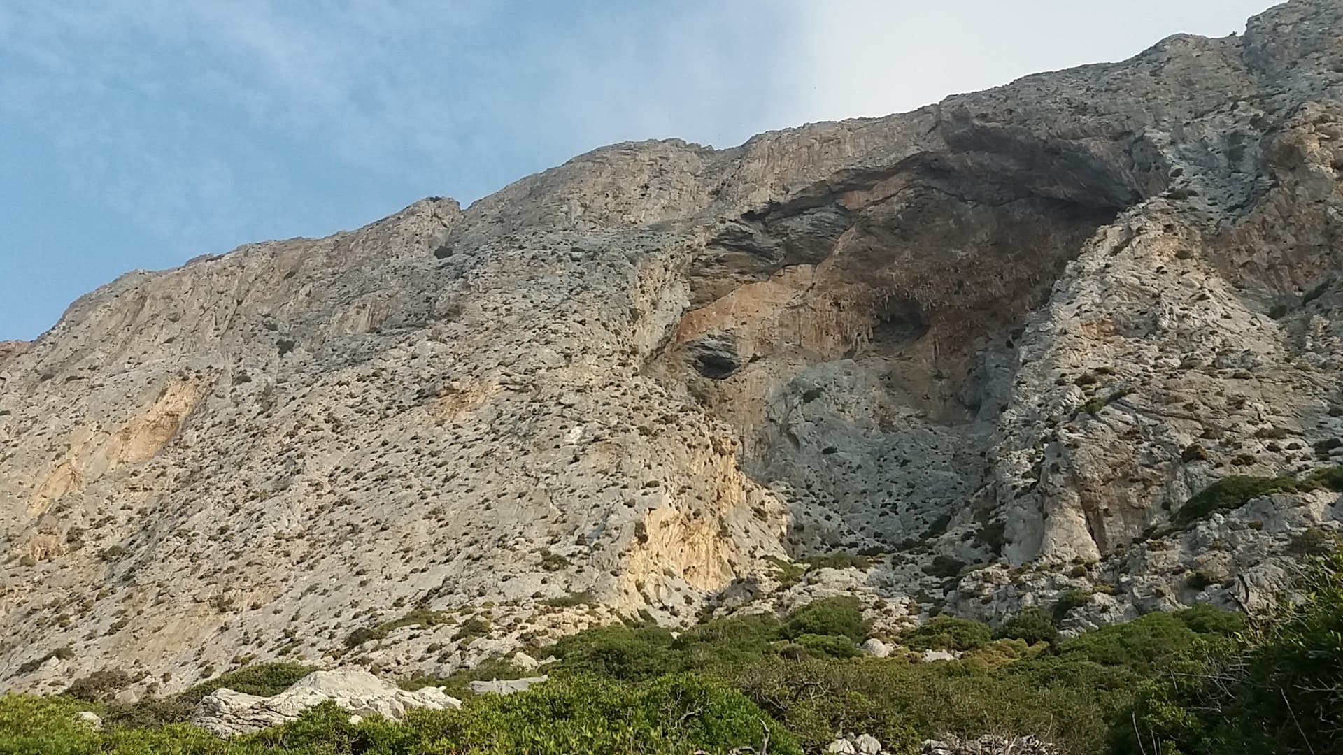
The south face of Telendos and its great cave, seen from the approach.

Greece · Kalymnos & Telendos

Wings for Life

The first route on the wall (Odermatt and Keller, 2008), climbing a long, exposed line on sharp, grippy rock right of the huge roof. The lower pitches are easy for the grade. The two 6a cruxes are a short odd corner over a small roof and a traverse high up, and they come with big exposure. Pitches are short, so you can link them with long draws.

6a11 pitches250 m

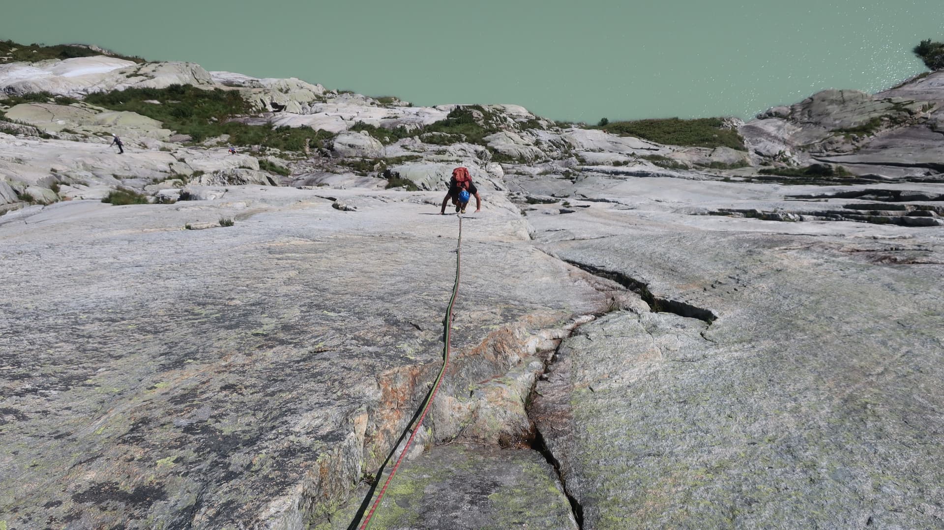
A climber on the pale granite of Grimselstrom, the Seeplatten slabs dropping to the milky green Räterichsbodensee.

Switzerland · Grimsel

Grimselstrom

Glacier-polished slabs straight above the Räterichsboden dam. Four warm-up pitches lead to sustained 5b–5c slab and a short fissured roof (6a or A0).

6a11 pitches220 m

Read the cautions

Compiled from published sources and last verified October 2026. Bolts, anchors and access change. Climbing is dangerous and you are responsible for your own decisions: check a current topo and read the disclaimer.