France · Ailefroide
Palavar-les-Flots
Ailefroide's best-known easy long route: a consistent run of 4th-grade slab and pillar climbing with two harder steps (5b+ on L4, a 5c friction move on L8). It is very popular, so start early.
5c12 pitches310 m
Orage d'étoiles sector (Pelvoux foothills) · Ailefroide · France
Read the cautionsEasy to bailBolting confidence: high
One of the best-known slab routes at Ailefroide: eleven pitches up the big inclined plane on the foothills of the Pelvoux, directly above the village. The style never changes, slab from bottom to top, mostly 5b with two pitches of 5c. The approach gully, damaged by a rockfall in 2013, is the serious part of the day.
The route itself was rebolted with glue-ins in 2021, but the approach and return go through an unstable gully that has caused an accident.
The route
Orage d'étoiles takes the main inclined plane of slabs on the Pelvoux foothills, the one that looks straight down on the centre of Ailefroide. It is homogeneous friction climbing on granite for 300 m, with the hardest moves on pitches 2 and 9. A harder right-hand start (6b, then 5c) joins the route at the third belay. The route was rebolted with glue-ins in 2021 and is descended by its own abseil line. Sources agree on the quality of the climbing and on the unpleasantness of the approach gully.
The climbing
| Pitch | Grade | Notes |
|---|---|---|
| P1 | 4b | Start under the jammed block and come out onto a terrace covered in stones and blocks. Take great care not to send anything down on parties below. A 2023 party found the pitch sandy. |
| P2 | 5c | Slab; one of the two hardest pitches. |
| P3 | 5a | Slab to the third belay, where the right-hand variant start (6b, then 5c) joins. |
| P4 | 5b | Slab. |
| P5 | 5b | Slab. |
| P6 | 5b | Slab. Gulliver grades this pitch V+. |
| P7 | 5b | Slab. |
| P8 | 4c | Easier slab. |
| P9 | 5c | The second 5c pitch. |
| P10 | 4b | Easy slab. |
| P11 | 2 | Very easy ground to the top of the route. |
Getting there
Ailefroide (1500 m) is at the head of the Vallouise valley: from Briançon or Gap go to L'Argentière-la-Bessée (railway station), then Vallouise, Pelvoux and Ailefroide. A seasonal bus line runs between Briançon and the Pré de Madame Carle. The road is closed in winter at Pelvoux. Ailefroide has a large campsite and everything is on foot from there.
From the bridge in the centre of Ailefroide take the road towards the Sélé valley for about 100 m, then a path on the right that also serves the Engilberge sector (which lies to the left). Gulliver gives about ten minutes to the foot of the wall. Go round the practice slab and climb a gully choked with blocks. The first jammed block is passed by a slabby step on its left, protected by two fixed cords, where earth covers the holds. The route starts under the second jammed block, about 70 m higher after a second stony passage; you pass underneath it. No source gives a total approach time.
Loading map
The point marks the crag, not the exact start of the route.
Parking
Ailefroide (camptocamp waypoint 106735)
Point from camptocamp waypoint 546826
Contains the route point and parking. Opens in most mapping apps and GPS watches.
Points are compiled from published sources, with the precision stated above. They were not surveyed on the ground: check them against a current topo.
Coordinates: 44.88890, 6.43887 (crag) · Parking: 44.88434, 6.45069
Getting down
Nine abseils down the route's abseil line, re-equipped in 2021; Gulliver gives them as 45 m. One further abseil on the left bank of the gully (two bolts and a sling) avoids the slippery slab step in the approach gully. Parties report about 1 h 30 min for the abseils and gully. The abseils are slightly vegetated.
Retreat
Easy to bail
Abseiling the route is the normal descent and the abseil line was re-equipped in 2021, so you can turn round from the belays it uses with two 50 m ropes. Remember that every retreat ends with the descent of the unstable approach gully; an extra abseil on its left bank avoids the worst step.
Safety
Sun and weather
South-facing granite slabs between about 1700 and 2000 m. In autumn the sun disappears early behind the Pelvoux. Trip reports are from July and August; the Ailefroide road is closed in winter.
Sun on the wall · S-facing
Working out the sunlit hours for this month.
Sun on the wallDaylight, wall in shade● Usual season
Estimated from the wall's aspect only. Ignores surrounding terrain, gullies and the wall's exact shape. Clock times are local to the wall (Central European time), for the 15th of each month.
| Measure | Jan | Feb | Mar | Apr | May | Jun (usual season) | Jul (usual season) | Aug (usual season) | Sep (usual season) | Oct | Nov | Dec |
|---|---|---|---|---|---|---|---|---|---|---|---|---|
| Mean daily high °C | −0 | 1 | 5 | 7 | 12 | 18 | 21 | 22 | 17 | 12 | 5 | 0 |
| Mean daily low °C | −7 | −7 | −4 | −0 | 3 | 8 | 11 | 11 | 7 | 3 | −3 | −6 |
| Rain days 1 mm or more | 11 | 10 | 11 | 12 | 14 | 17 | 15 | 13 | 12 | 11 | 12 | 12 |
| Sunshine hours a day | 7.0 | 8.4 | 9.7 | 10.8 | 11.7 | 12.8 | 13.4 | 12.2 | 10.3 | 8.5 | 7.0 | 6.6 |
● marks the usual climbing season. Averages for 1991-2020 at about 1496 m. Area climate from Open-Meteo reanalysis (about 10 km grid): the wall and valley can differ. Data: Open-Meteo, CC BY 4.0.
What to carry
Two 50 m ropes for the abseils. No source states a number of quickdraws. Helmet, for the gully above all.
Derived from the route data; check it against a current topo
From climbers
Reader reports are not being collected yet. Until they are, check a current topo and the local club or guidebook publisher for recent changes to Orage d'étoiles.
Worth knowing
Open questions
Provenance
Same area
France · Ailefroide
Ailefroide's best-known easy long route: a consistent run of 4th-grade slab and pillar climbing with two harder steps (5b+ on L4, a 5c friction move on L8). It is very popular, so start early.
5c12 pitches310 m
France · Ailefroide
A long, sunny outing up a series of granite steps, consistently in the 5th grade, finishing with a great view over La Draye. Grassy ramps separate the tiers, so the climbing never feels exposed.
5c14 pitches450 m
Around 5c · about 11 pitches
Spain · El Chorro
The longest easy line in El Chorro. It starts up a broken corner-ramp, then climbs a steeper wall trending right to the top. It's uncommitting and easy to link pitches, with some loose rock to watch for.
5c12 pitches310 m
Italy · Arco & Valle del Sarca
A succession of short walls and slabs separated by ledges, with the first two pitches shared with Amazzonia. The crux is a single 5c/6a move just below the P5 belay. It's a relaxed, well-protected outing above the Sarche gorge.
5c10 pitches250 m
France · Aravis
An introduction to mountain multipitch that tops out right under the summit cross of the highest Aravis peak. Grippy fluted limestone is linked by cairned walking sections, and the last pitches are the best.
5b+11 pitches400 m
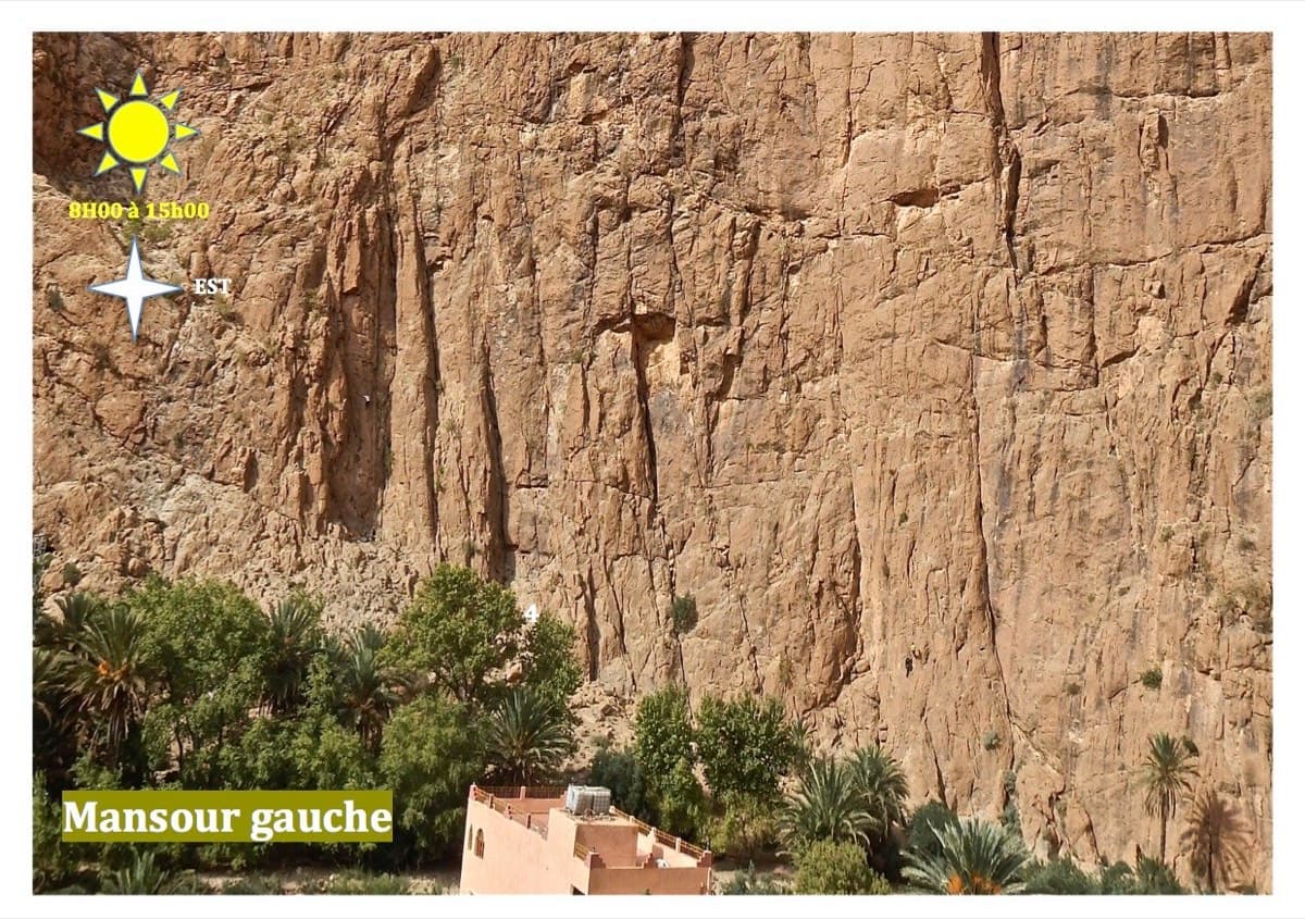
Morocco · Todra Gorge (Todgha)
Thirteen short pitches, mostly grade 4, with two 5c steps. The longest pitch is 45 m. A big day of easy mileage in the sun above the palm grove.
5c13 pitches340 m
Compiled from published sources and last verified October 2026. Bolts, anchors and access change. Climbing is dangerous and you are responsible for your own decisions: check a current topo and read the disclaimer.