Multipitch Atlas

Orizzonti Dolomitici

Piccolo Dain – Parete del Limarò (Sarche) · Arco & Valle del Sarca · Italy

Bail with caveatsBolting confidence: high

A succession of short walls and slabs separated by ledges, with the first two pitches shared with Amazzonia. The crux is a single 5c/6a move just below the P5 belay. It's a relaxed, well-protected outing above the Sarche gorge.

Hardest pitch
5c
Pitches
10
Length
250 m
Approach
15 min
Aspect
SW
South-west-facing
Rope
1×50 m

The route

Overview

Orizzonti Dolomitici is the easy plaisir classic of the Parete del Limarò, the wall of the Piccolo Dain above the Sarca gorge at Sarche. Ten pitches and 250–270 m of short walls and slabs separated by ledges, with a corner system near the top; the first two pitches are a shared traversing entry with Amazzonia. The crux is a single hard move just below the P5 belay, given 5c/6a, and every hard move can be pulled through on the bolts. It is very well protected and very popular, so expect to queue at the start.

The climbing

Pitch by pitch

Pitches of Orizzonti Dolomitici
PitchGradeNotes
P14bStraight up, then traverse slightly left. Shared with Amazzonia. Altered in 2026 by new rockfall catch nets; check the current topo.
P23aTraverse left. Shared with Amazzonia and also altered in 2026. At the end of the traverse do not go too far left into Amazzonia: the Orizzonti belay has the route name written in pale pink, and the route leaves above R2, slightly left.
P35aA slabby wall.
P44bFollow a ramp rising to the right.
P55cA grade V move, then a harder move just below the belay, both on short walls. Camptocamp grades the pitch 5c/6a. The crux of the route; it can be aided on the bolts.
P64cFollow the flake, then come back left. A slightly steeper pitch.
P75aHead for the left-hand corner; a nice slab to finish.
P84bEnter the corner.
P95bFollow the corner, then move back onto a ledge on the left at the end of the pitch.
P105bExit up a short wall. An unbolted ramp then leads to the top of the wall.

Getting there

Approach

To the parking

Sarche is at the north end of the Sarca valley on the road from Trento to Riva del Garda and Arco. bergsteigen.com says to park in the centre of Sarche at the junction for Madonna di Campiglio. Camptocamp instead takes the Comano Terme road, crosses the bridge and parks on a small road immediately on the left.

On foot · about 15 min

10–15 min. From the village walk the Madonna di Campiglio / Comano Terme road to the bridge over the Sarca. Just before the bridge (on the Sarche side) take the gravel track along the river bank; Camptocamp notes it crosses private property. Follow it until you reach the iron gate of the hydroelectric weir. The route starts just right of the gate. This start is the shared entry for three popular multipitch routes.

Finding the route · 1 photo

  • ParkingThe centre of Sarche (photo geotagged at the main junction), looking towards the rock gateway of the Sarca gorge. The walk-in follows the Comano Terme road towards that gap as far as the bridge.Photo: Zoran Kurelić Rabko · CC BY-SA 3.0

Approach photo

Map of the walk-in

  • Route base
  • Parking

Loading map

The point marks the base of the route.

Coordinates · route base

46.04760, 10.94580

Parking

46.04760, 10.95100

Parking marked on bergsteigen.com

Point from bergsteigen.com touren.aspx?ID=1429

For your phone or watch

Download GPX

Contains the route point and parking. Opens in most mapping apps and GPS watches.

Points are compiled from published sources, with the precision stated above. They were not surveyed on the ground: check them against a current topo.

Getting down

Descent

Walk off, 45 min to 1 h. From the top of the wall keep going up for about 10 minutes on a red-marked path heading west towards the big walls of the Piccolo Dain, until you meet the descent trail coming down from Piccolo Dain / Ranzo. Turn right on it and follow it down to Sarche. A 2011 party found the descent hard to find from a vague description. Do not abseil: the belays have chains and maillons, but abseiling lands you inside the dam enclosure.

Retreat

Bailing off the route

Bail with caveats

Only in an emergency. The belays have chains and maillons, so you can physically abseil. The sources say not to, because the abseils land inside the fenced dam enclosure. If the climbing is the problem, every hard move can be aided on the bolts and the walk-off from the top is the intended way down.

Retreat from
Any chained belay, by inference. The first two pitches traverse left and were changed in 2026 by rockfall nets, so the lowest abseils will not follow the line you climbed.
Carry
The route is climbed on a single 50 m rope. Pitch lengths are not published, though ten pitches in about 250 m suggests roughly 25 m each. A second rope gives a margin.
Basis
Part stated, part inferredThe guide's sources state the belays have chain and maillons and that abseiling ends in the dam enclosure. Rope length and the effect of the traverses are inferred.

Partly inferred from the route facts

Safety

Hazards

  • The first two pitches were changed in 2026 by rockfall catch nets at the start (bergsteigen.com). Older topos, including the Camptocamp description, predate this; use the current bergsteigen.com topo.
  • Helmet essential (bergsteigen.com); rockfall nets have been installed at the base and there are usually parties above you.
  • Do not abseil the route: you would land in the fenced dam/weir compound.
  • The final ramp to the top is not bolted.
  • Heat: the wall is unpleasant to dangerous in full summer sun.
  • The approach track is on private property (Camptocamp).

Sun and weather

Conditions

South-west facing (Camptocamp and thetopo; bergsteigen.com says south), low altitude (base about 260 m). The wall is in the sun from mid-morning, around 10:00, and then gets very hot: bergsteigen.com calls midsummer midday almost impossible. Start early or late in the afternoon, which also avoids the queue at the gate. Normally team after team on the route.

Usual season · Mar to May, Oct to Nov

Sun on the wall · SW-facing

Working out the sunlit hours for this month.

  • January: not yet worked out
  • February: not yet worked out
  • March (usual season): not yet worked out
  • April (usual season): not yet worked out
  • May (usual season): not yet worked out
  • June: not yet worked out
  • July: not yet worked out
  • August: not yet worked out
  • September: not yet worked out
  • October (usual season): not yet worked out
  • November (usual season): not yet worked out
  • December: not yet worked out

Sun on the wallDaylight, wall in shade● Usual season

Estimated from the wall's aspect only. Ignores surrounding terrain, gullies and the wall's exact shape. Clock times are local to the wall (Central European time), for the 15th of each month.

Climate figures for Arco & Valle del Sarca are not available yet

What to carry

Gear

One 50 m single rope and 11 quickdraws (bergsteigen.com); no nuts or cams needed. A helmet is called essential.

Checklist

Quickdraws
11
Rope
1×50 m
Helmet
One each
Abseil device and prusik
The descent or the retreat involves abseiling

Derived from the route data; check it against a current topo

From climbers

Reader reports

Reader reports are not being collected yet. Until they are, check a current topo and the local club or guidebook publisher for recent changes to Orizzonti Dolomitici.

Worth knowing

Tips

  • Arrive early or start late afternoon to avoid waiting at the gate.
  • If it feels too easy, Amazzonia next door is the slightly harder alternative (UIAA 6/6+).
  • One party linked P6+P7 and P8+P9.
  • Allow 3.5 h for the route and 4.5 h for the round trip.

Open questions

Where sources disagree

  • Grade: Camptocamp gives 5c overall with a 5c/6a crux move on P5 (5a obligatory); bergsteigen.com gives UIAA 5+ with 5 obligatory, i.e. about 5b/5c. PeakVisor's listing (search summary only; the page was not read in full) gives 5b.
  • Length: 250 m (Camptocamp) versus 270 m of climbing / 300 m of height (bergsteigen.com).
  • Pitch count: 10 on Camptocamp and in bergsteigen's photo captions; a 2017 Camptocamp trip report counted 11.
  • Aspect: SW (Camptocamp, thetopo) versus S (bergsteigen.com).
  • Parking: Sarche village centre (bergsteigen.com) versus a small road just beyond the bridge (Camptocamp).
  • The bergsteigen.com page shows its info date as 17.10.2026, a week after it was read (10 October 2026); the 2026 note about the catch nets is quoted as shown on the page.

Provenance

Sources

Same area

More in Arco & Valle del Sarca

All routes in Arco & Valle del Sarca
The Parete Zebrata (Placche Zebrate) above Dro, with the lines of three other routes at its left end marked

Italy · Arco & Valle del Sarca

Rita

This is the archetypal long, easy Arco slab, first climbed in 1971. It wanders up the lower bands and then improves into a superb water-worn chimney system in the upper half. It is very polished and very busy, so start early. Original grade 6- UIAA per bergsteigen.com; gulliver gives 5c max.

5c16 pitches400 m

Read the cautions
The Parete Zebrata (Placche Zebrate) above Dro, with the lines of three other routes at its left end marked

Italy · Arco & Valle del Sarca

Man-Ilia

An easy, relaxing sport route on low-angle Zebrate slabs, trending left to right to join Cane Trippa at the fifth belay. It's an excellent first multipitch. Gulliver gives UIAA III / II–III / IV / IV–IV+ for the first four pitches, converted here.

5b6 pitches240 m

No photo yet

Italy · Arco & Valle del Sarca

Via Roberto

Eight sustained pitches up the wall opposite the Laterna restaurant, rarely easier than 6a. The crux is a short overhanging wall on pitch 5 that can be pulled through on the bolts. Less cleaned than its neighbours, with some broken rock on pitch 6.

6c+8 pitches220 m

No photo yet

Italy · Arco & Valle del Sarca

Via Pantarei

Six pitches of steep wall and corner climbing up a pillar, almost never below 6a. Closely bolted and on good rock, so it works as a first 6b+ multipitch. The slightly overhanging slab on the last pitch catches out tired arms.

6b+6 pitches170 m

Around 5c · about 10 pitches

Similar elsewhere

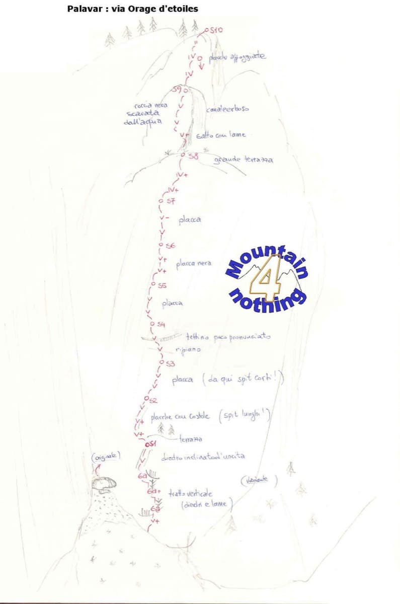
Hand-drawn sketch topo of Orage d'étoiles, Ailefroide

France · Ailefroide

Orage d'étoiles

One of the best-known slab routes at Ailefroide: eleven pitches up the big inclined plane on the foothills of the Pelvoux, directly above the village. The style never changes, slab from bottom to top, mostly 5b with two pitches of 5c. The approach gully, damaged by a rockfall in 2013, is the serious part of the day.

5c11 pitches300 m

Read the cautions

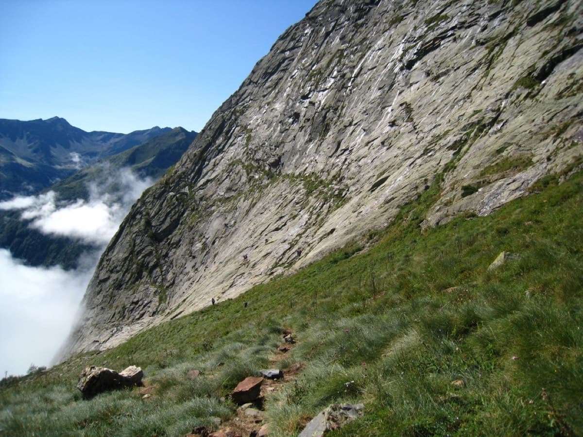
East face of the Dent d'Orlu (lower part), seen from the approach path

France · Ariège Pyrenees

Pink Floyd

Consistent, low-angled slab climbing on compact granite, with 10 pitches of 5a–5b+ on the big east face. Above all it is a long, sunny-morning moderate.

5b+10 pitches400 m

Read the cautions

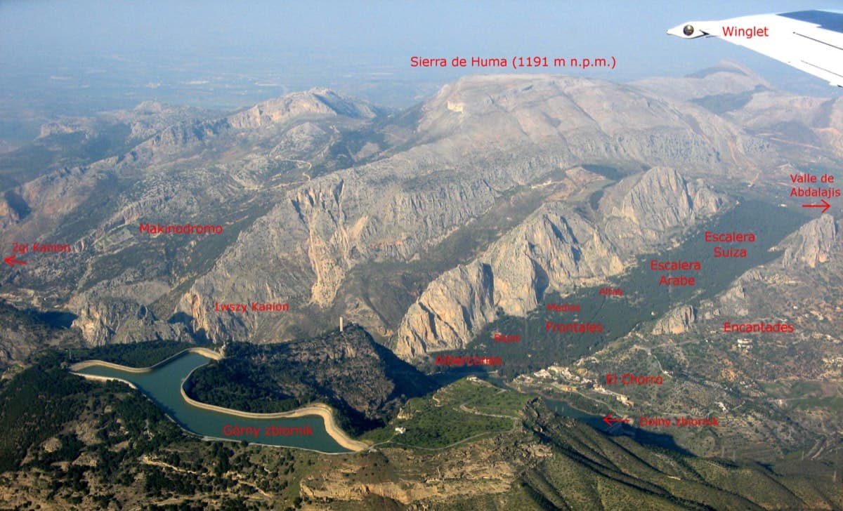
Annotated aerial view of El Chorro showing Frontales, Escalera Árabe and Escalera Suiza (labels in Polish)

Spain · El Chorro

Blue Line

The longest easy line in El Chorro. It starts up a broken corner-ramp, then climbs a steeper wall trending right to the top. It's uncommitting and easy to link pitches, with some loose rock to watch for.

5c12 pitches310 m

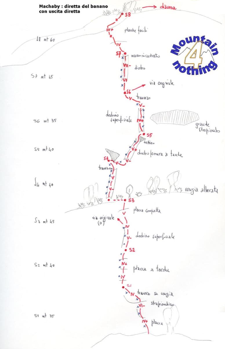
Hand-drawn topo of Diretta al Banano (direct finish), Corma di Machaby

Italy · Aosta Valley

Diretta al Banano

Along with Bucce d'Arancia this is the Paretone's other great classic (first ascent 1977, later retro-bolted). It climbs big, juggy, non-athletic slabs on beautiful rock up the centre of the wall to near the summit. Expect a few metres above the last bolt in places.

5c+9 pitches250 m

Read the cautions

Compiled from published sources and last verified October 2026. Bolts, anchors and access change. Climbing is dangerous and you are responsible for your own decisions: check a current topo and read the disclaimer.