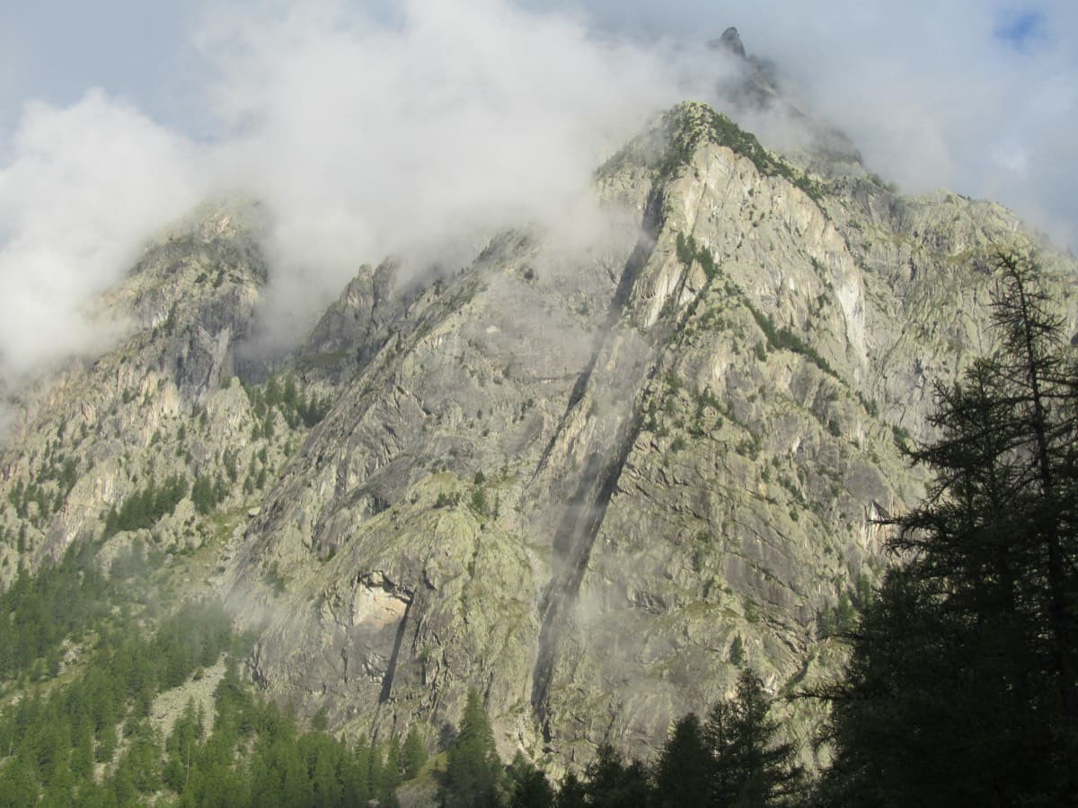
France · Ailefroide
Palavar-les-Flots
Ailefroide's best-known easy long route: a consistent run of 4th-grade slab and pillar climbing with two harder steps (5b+ on L4, a 5c friction move on L8). It is very popular, so start early.
5c12 pitches310 m
La Draye · Ailefroide · France
Bail with caveatsBolting confidence: high
A long, sunny outing up a series of granite steps, consistently in the 5th grade, finishing with a great view over La Draye. Grassy ramps separate the tiers, so the climbing never feels exposed.
The route
A very long, sunny outing up the south-facing tiers below the Tête de la Draye, above Ailefroide: about 500 m from the start to the shoulder, with fourteen climbed pitches of granite slab and short walls linked by four walking sections on grass ledges. The climbing is sustained in the fifth grade, on excellent rock, with a hard first move and a single 5c step higher up. Because the face is a series of steps there is little sense of exposure, and many pitches can be avoided by grassy gullies just to the left. It is a full day; do not underestimate the length.
The climbing
| Pitch | Grade | Notes |
|---|---|---|
| P1 | 5b+ | A short, brutal first move, then 5b and 4b. The start was modified and three new bolts were found here in 2021. The Spanish camptocamp page grades the original move 6a/A0; it goes easily with a pull on the quickdraw. In the trees, so it stays wet after rain. |
| P2 | 5b | 4b/c, then 5b. |
| P3 | 4c | 4c, then 4a. |
| P4 | 5b | – |
| P5 | 3b | – |
| P6 | 5b+ | 4c, then 5b+. Followed by 50 m of walking up a grass ledge slanting left (first 'garden'). |
| P7 | 5a | 4c, then 5a. Followed by about 80 m on grass ledge and scree, straight up and then slanting right (second 'garden'; longer than the topo photo suggests). |
| P8 | 5b/c | – |
| P9 | 5c | 4c, then 5b with one move of 5c. |
| P10 | 4b | 3b to 4b. |
| P11 | 4b | 3b to 4b. Followed by about 100 m slanting left over easy-angled slabs and grass, with cairns. |
| P12 | 4b | Followed by 30 m left along a grass ledge. |
| P13 | 4c | 4b, then 4c. |
| P14 | 5b+ | Short. Listed as 5b+ then 4b; a 2026 party found it simply 5b+. Above, five minutes of easy steps slanting right and then straight up lead to the summit meadow; most parties unrope here. |
Getting there
Ailefroide (1,500 m), at the head of the Vallouise valley: Briançon or L'Argentière-la-Bessée (railway station), then Vallouise, Pelvoux and Ailefroide. Seasonal bus on the Briançon to Pré de Madame Carle line; the road is closed in winter at Pelvoux. Park in the village; the walk starts from the centre.
About 20 minutes (2021 report). From the centre of Ailefroide cross the bridge and follow signs for Tête de la Draye / Chambran (GR waymarks and yellow marks). At the signpost level with a slab of the climbing school keep following Tête de la Draye / Chambran. Pass the turn-off for the Tête de la Draye, then about 30 m further the track to the Spit on Cup sector. The track to the route leaves 2–3 minutes further on, after a descent; it is fairly well trodden and cairned at the junction. It climbs steeply and passes the foot of the route Ein Zwei Draye. Cross a small stream, take the horizontal cairned line to the right and finish up alongside the scree to the start in a recess. There is no name at the base; the first bolt is 2 m up.
Loading map
The point marks the crag, not the exact start of the route.
Parking
Ailefroide (camptocamp access point)
Point from camptocamp waypoint 40628
Contains the route point and parking. Opens in most mapping apps and GPS watches.
Points are compiled from published sources, with the precision stated above. They were not surveyed on the ground: check them against a current topo.
Coordinates: 44.89013, 6.44828 (crag) · Parking: 44.88434, 6.45069
Getting down
Walk off by the normal path from the Tête de la Draye; allow at least 1 h (1 h 10 in a 2021 report). It is a little exposed in places. Cables have been added. About 150 m lower there is a bolt at an exposed earthy passage, which was washed out by storms in 2023 and is well trodden again; a belay to protect it is 20 m before, just right of the path, on a rock outcrop.
Retreat
Bail with caveats
You are rarely far from easy ground. camptocamp says many pitches can be avoided by convenient grass gullies just to the left, and the face is a series of short steps with walking links on grass ledges after pitches 6, 7, 11 and 12. No source describes abseiling the route or says where the gullies come out below, so treat them as likely escapes, not guaranteed ones, and expect them to be slippery when wet.
Partly inferred from the route facts
Safety
Sun and weather
South-facing and in the sun all day with no shade; in late October the route had sun from 09:00 to 17:00. Best from late spring to autumn; reports run from 1 June to 30 October. Hot in midsummer. The start is wet after rain, the rest dries quickly. Climbing time 4–6 h for a pair, up to about 8 h car to car for a party of three.
Sun on the wall · S-facing
Working out the sunlit hours for this month.
Sun on the wallDaylight, wall in shade● Usual season
Estimated from the wall's aspect only. Ignores surrounding terrain, gullies and the wall's exact shape. Clock times are local to the wall (Central European time), for the 15th of each month.
| Measure | Jan | Feb | Mar | Apr | May (usual season) | Jun (usual season) | Jul (usual season) | Aug (usual season) | Sep (usual season) | Oct (usual season) | Nov | Dec |
|---|---|---|---|---|---|---|---|---|---|---|---|---|
| Mean daily high °C | −0 | 1 | 5 | 7 | 12 | 18 | 21 | 22 | 17 | 12 | 5 | 0 |
| Mean daily low °C | −7 | −7 | −4 | −0 | 3 | 8 | 11 | 11 | 7 | 3 | −3 | −6 |
| Rain days 1 mm or more | 11 | 10 | 11 | 12 | 14 | 17 | 15 | 13 | 12 | 11 | 12 | 12 |
| Sunshine hours a day | 7.0 | 8.4 | 9.7 | 10.8 | 11.7 | 12.8 | 13.4 | 12.2 | 10.3 | 8.5 | 7.0 | 6.6 |
● marks the usual climbing season. Averages for 1991-2020 at about 1496 m. Area climate from Open-Meteo reanalysis (about 10 km grid): the wall and valley can differ. Data: Open-Meteo, CC BY 4.0.
What to carry
Single rope of at least 50 m. 12–13 quickdraws plus belay material. Nuts and cams are close to useless and hard to place. A long 'panic' draw may help shorter climbers. Comfortable shoes, plenty of water and a helmet. An old note on the Spanish camptocamp page advises carrying a few spare hangers.
Derived from the route data; check it against a current topo
From climbers
Reader reports are not being collected yet. Until they are, check a current topo and the local club or guidebook publisher for recent changes to Les Pets des Rupricaprins.
Worth knowing
Open questions
Provenance
Same area
France · Ailefroide
Ailefroide's best-known easy long route: a consistent run of 4th-grade slab and pillar climbing with two harder steps (5b+ on L4, a 5c friction move on L8). It is very popular, so start early.
5c12 pitches310 m
France · Ailefroide
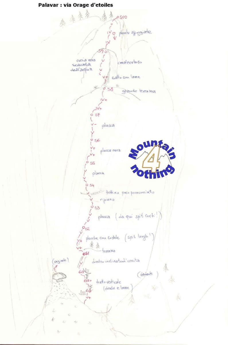
One of the best-known slab routes at Ailefroide: eleven pitches up the big inclined plane on the foothills of the Pelvoux, directly above the village. The style never changes, slab from bottom to top, mostly 5b with two pitches of 5c. The approach gully, damaged by a rockfall in 2013, is the serious part of the day.
5c11 pitches300 m
Read the cautions
Around 5c · about 14 pitches
Spain · Riglos & Agüero (Mallos)
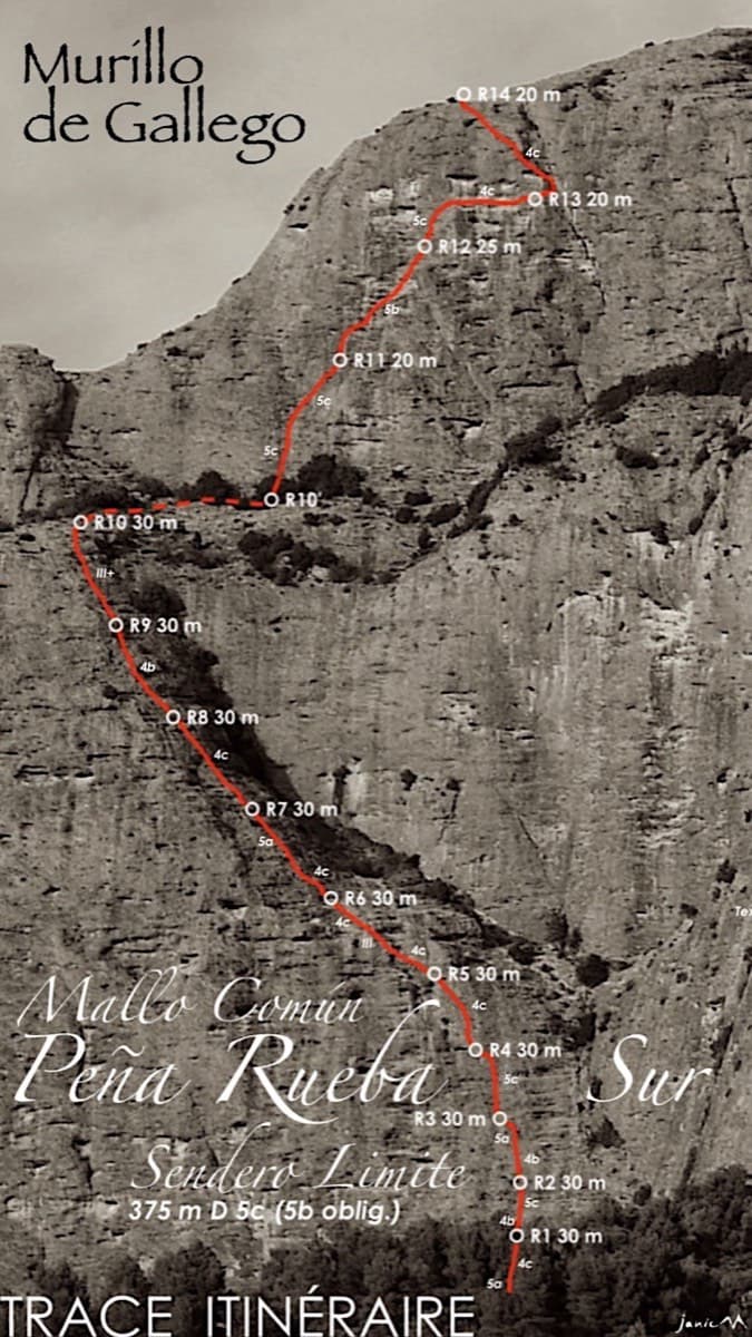
A long beginner's big route on good conglomerate at a moderate angle. Pitches can be linked in pairs with a 60 m rope. A four-pitch headwall with a couple of panzas finishes high above the Gállego valley.
5c14 pitches375 m
Morocco · Todra Gorge (Todgha)
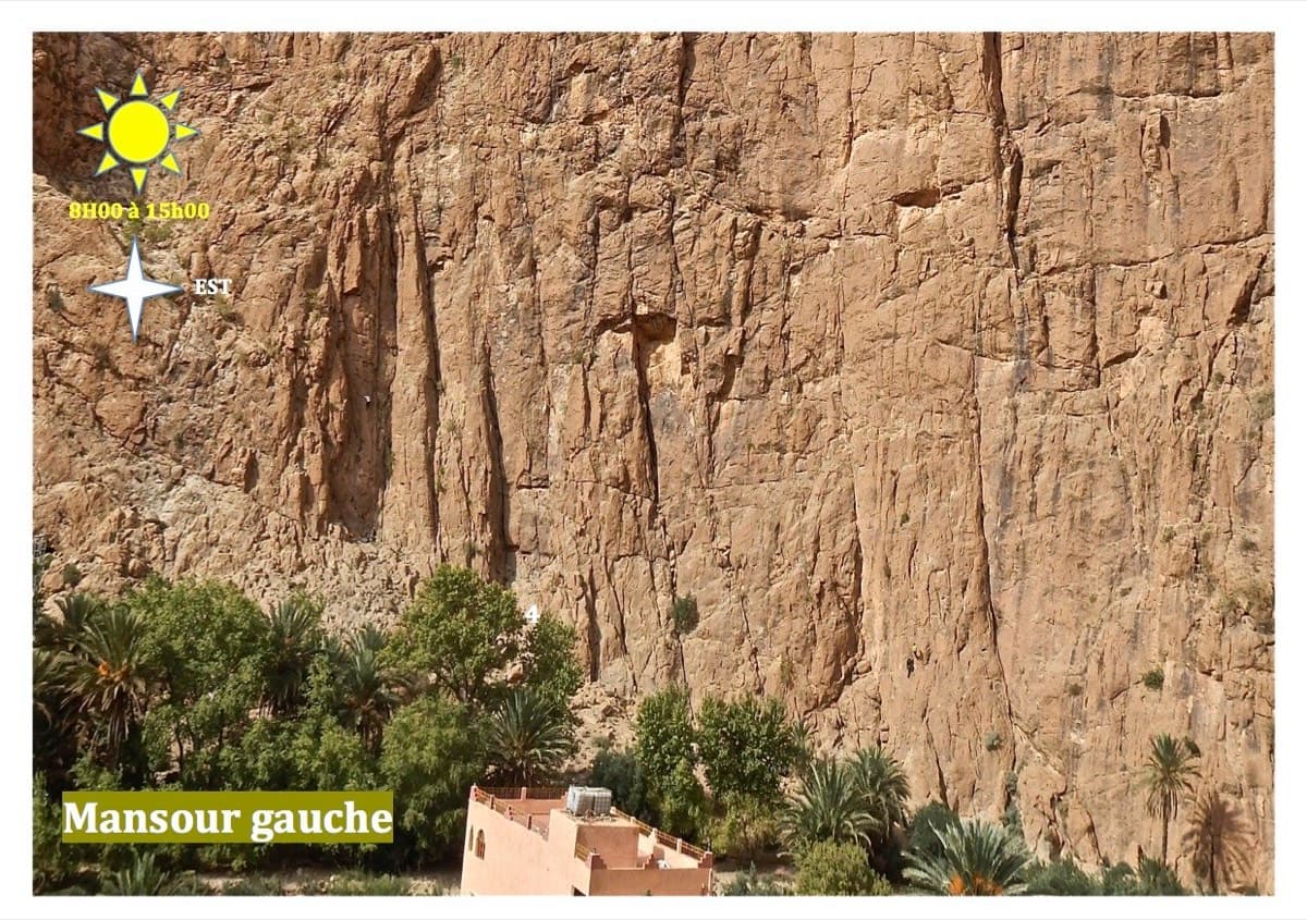
Thirteen short pitches, mostly grade 4, with two 5c steps. The longest pitch is 45 m. A big day of easy mileage in the sun above the palm grove.
5c13 pitches340 m
Italy · Aosta Valley
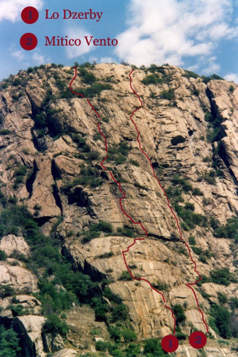
A long, easy-angled outing up the full height of the Paretone. A steeper lower half with an exposed pillar on P5 leads to sculpted slabs and broken steps higher up. It's a good first big multipitch.
5c13 pitches400 m
Switzerland · Vaud Alps
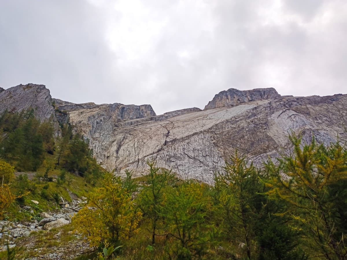
The bolted way up the Miroir d'Argentine: fourteen pitches of compact limestone slab, with the difficulties in the first four pitches and long, easy, run-out friction above. A big day out at a modest grade with a mountain walk-off. Do not underestimate it.
5c+14 pitches400 m
Read the cautions
Compiled from published sources and last verified October 2026. Bolts, anchors and access change. Climbing is dangerous and you are responsible for your own decisions: check a current topo and read the disclaimer.