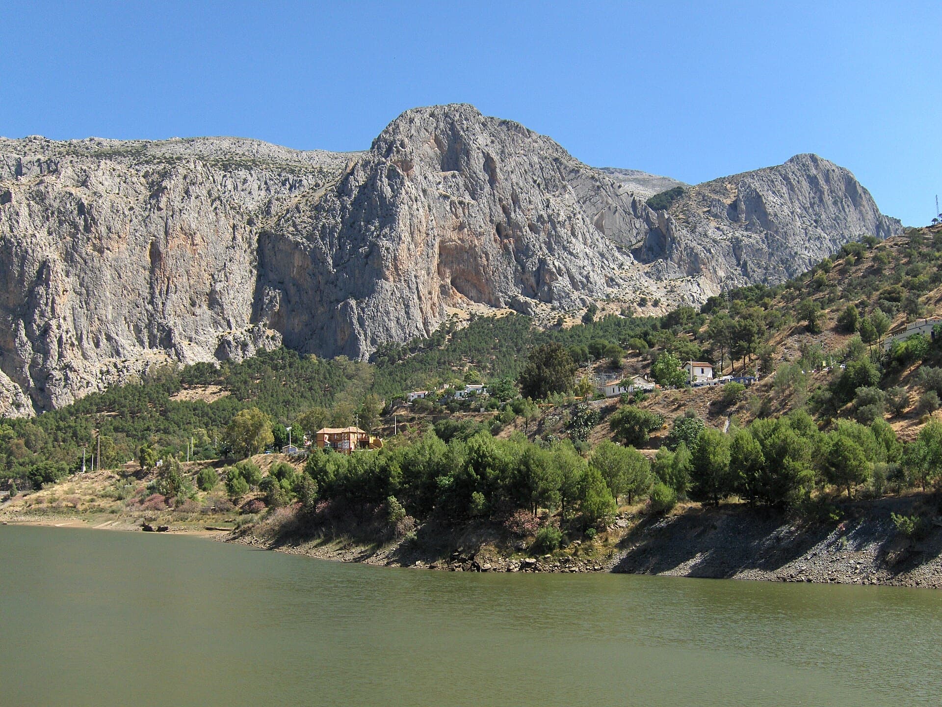
Spain · El Chorro
Amptrax
The absolute El Chorro classic: a physical, sustained line that feels tough for the grade, with a 6a traverse right under the roof. Polished in places from heavy traffic.
6a9 pitches182 m
Escalera Árabe (Suiza sector) · El Chorro · Spain
Easy to bailBolting confidence: medium
A friendly six-pitch route that climbs half-way up the Frontales Altas and abseils back down. Most of it is easy, with good rests and some low-angle ground; the crux third pitch takes a neat little arête. It shares its first two short pitches with Blue Line.
The route
Los Arcángeles is a moderate, varied multipitch in the Suiza sector of Escalera Árabe, the highest tier of the Frontales. It is closely bolted, has comfortable belays and is descended by abseil, which makes it one of the gentler introductions to multipitch climbing at El Chorro. The first two pitches are shared with Blue Line, which then heads right while Los Arcángeles goes slightly left. A few trees on the way give shade on an otherwise sunny wall.
The climbing
| Pitch | Grade | Length | Notes |
|---|---|---|---|
| P1 | 4c | 12 m | 5.6. A short first pitch, shared with Blue Line. Easily linked with pitch 2. |
| P2 | 4c | 18 m | 5.6. Shared with Blue Line, which splits off to the right from this belay. |
| P3 | 5c | 28 m | 5.9-. Slightly left from the belay and up a pleasant little arête: the crux and the best pitch. |
| P4 | 5a | 30 m | 5.7. Easier climbing with good rests. |
| P5 | 5a | 30 m | 5.7. The belay at the top of this pitch is not in plain sight; a 2019 party climbed straight past it. |
| P6 | 5b | 28 m | 5.8. Take care at the top belay, where there are big loose rocks. |
Getting there
El Chorro village is the base, about 45 minutes from Málaga by car. Trains run often from Málaga to Álora and about once a day to El Chorro itself. Do not drive or park inside the nature park where signs forbid it. For Escalera Árabe you can park in the village, at Las Encantadas, or at the Sierra Huma trail car park on the road towards Valle de Abdalajís.
About 40 minutes on foot to the path along the foot of the Escalera Árabe crags. The route starts under the carob tree at the left side of the Suiza sector, just right of Rogelio. Both Blue Line and Los Arcángeles are named at the start.
Loading map
The point marks the crag, not the exact start of the route.
Point from Mountain Project sector point (Escalera Árabe, Suiza)
Contains the route point. Opens in most mapping apps and GPS watches.
Points are compiled from published sources, with the precision stated above. They were not surveyed on the ground: check them against a current topo.
Coordinates: 36.91630, -4.74736 (crag)
Getting down
Abseil the route: five abseils of about 30 m, combining pitches 1 and 2 with a 70 m rope. Below the pitch 3 belay, angle to climber's left to find the pitch 2 anchor.
Retreat
Easy to bail
The route is descended by abseiling it, from two-bolt belays about 30 m apart, so you can go down from any stance. One abseil is slightly diagonal: below the pitch 3 belay you trend to climber's left to reach the pitch 2 anchor.
Partly inferred from the route facts
Safety
Sun and weather
South-facing; Escalera Árabe is in the sun almost all day and is a poor choice in hot weather. Best from October to May. The wall is popular and there are often parties above.
Sun on the wall · S-facing
Working out the sunlit hours for this month.
Sun on the wallDaylight, wall in shade● Usual season
Estimated from the wall's aspect only. Ignores surrounding terrain, gullies and the wall's exact shape. Clock times are local to the wall (Central European time), for the 15th of each month.
| Measure | Jan (usual season) | Feb (usual season) | Mar (usual season) | Apr (usual season) | May (usual season) | Jun | Jul | Aug | Sep | Oct (usual season) | Nov (usual season) | Dec (usual season) |
|---|---|---|---|---|---|---|---|---|---|---|---|---|
| Mean daily high °C | 14 | 15 | 17 | 20 | 24 | 29 | 32 | 32 | 27 | 23 | 17 | 15 |
| Mean daily low °C | 5 | 6 | 8 | 10 | 13 | 17 | 20 | 20 | 17 | 14 | 9 | 7 |
| Rain days 1 mm or more | 7 | 7 | 7 | 7 | 6 | 2 | 0 | 1 | 4 | 7 | 8 | 7 |
● marks the usual climbing season. Averages for 1991-2020 at about 321 m. Area climate from Open-Meteo reanalysis. Temperatures are adjusted to the height of the crag; rain comes from a grid cell of about 10 to 25 km, and summer highs on sea cliffs can read a few degrees low. The wall and valley can differ. Data: Open-Meteo, CC BY 4.0.
What to carry
About 15 quickdraws if you link pitches 1 and 2, and a single 70 m rope. Helmet.
Derived from the route data; check it against a current topo
From climbers
Reader reports are not being collected yet. Until they are, check a current topo and the local club or guidebook publisher for recent changes to Los Arcángeles.
Worth knowing
Open questions
Provenance
Same area
Spain · El Chorro
The absolute El Chorro classic: a physical, sustained line that feels tough for the grade, with a 6a traverse right under the roof. Polished in places from heavy traffic.
6a9 pitches182 m
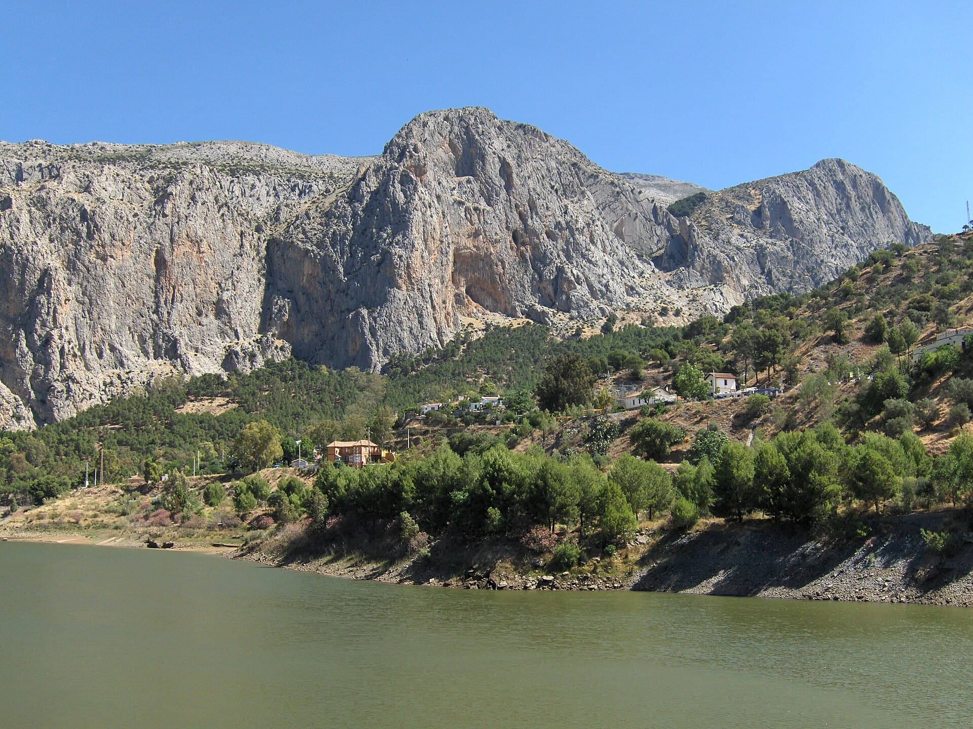
Spain · El Chorro
Ten varied pitches on good rock in a superb position: a roof, slabs, a tenuous traverse by a cave and a steep corner. Several pitches feel stiff for the grade, especially the P2 crux.
6b10 pitches279 m
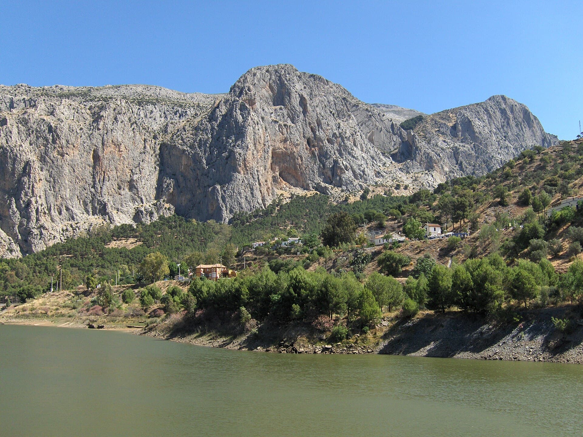
Spain · El Chorro
An airy, exposed adventure on clean, solid rock: the best long easy route on the Frontales and an ideal first big multipitch.
5+8 pitches251 m
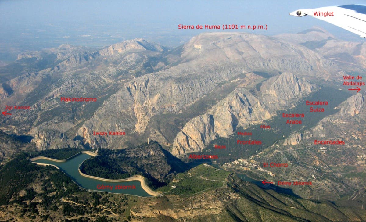
Spain · El Chorro
The longest easy line in El Chorro. It starts up a broken corner-ramp, then climbs a steeper wall trending right to the top. It's uncommitting and easy to link pitches, with some loose rock to watch for.
5c12 pitches310 m
Around 5c · about 6 pitches
Italy · Lecco & Valsassina
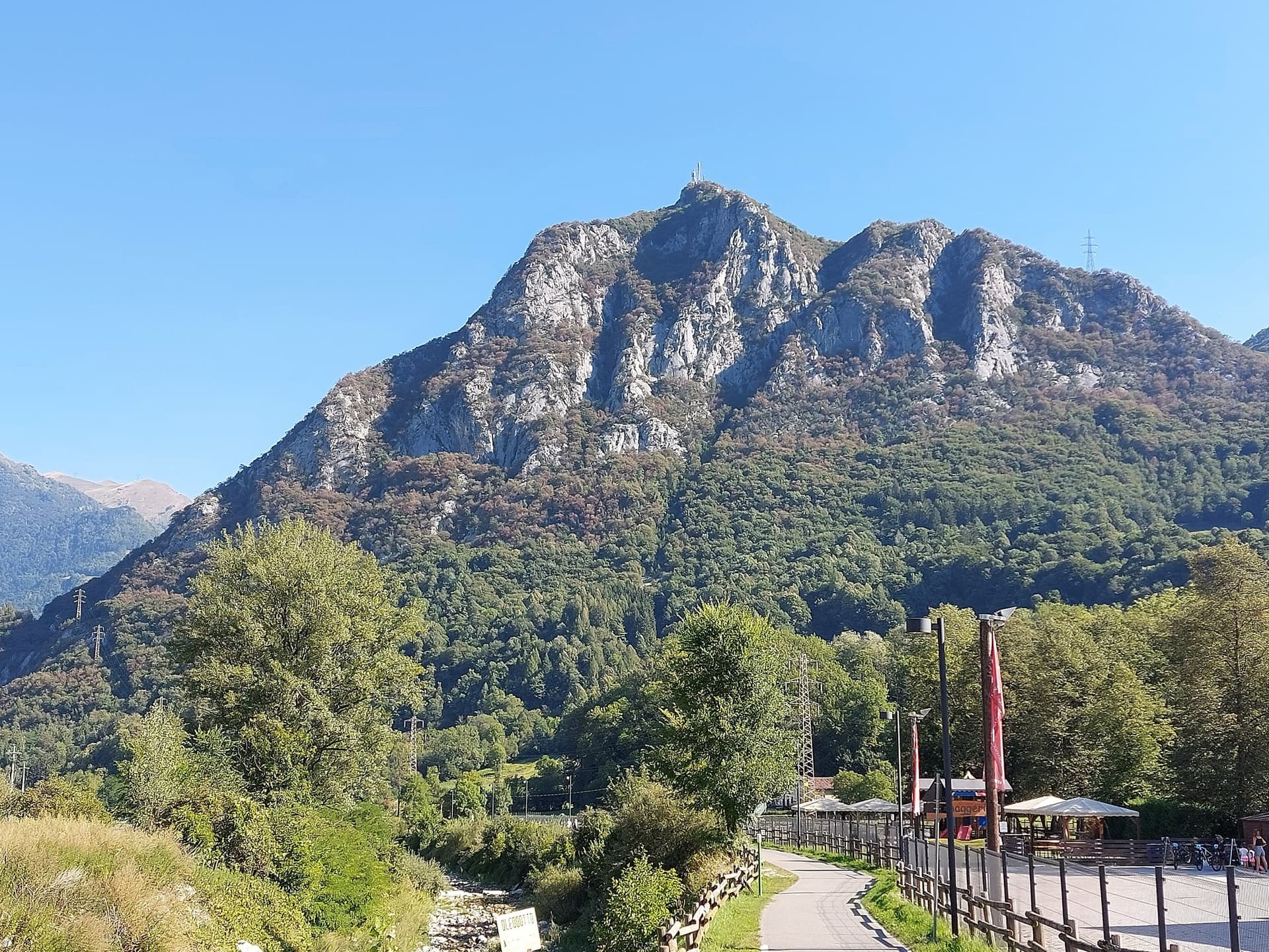
A 1979 Ivan Guerini line up the big slab of the second spur: friction climbing on compact limestone with a few steeper steps, a fine third pitch and a corner to finish. Grades are even, around 5a to 5c, and the bolts are far enough apart that slab confidence matters. You abseil off.
5c6 pitches120 m
Read the cautions
France · Vanoise (Grand Bec)
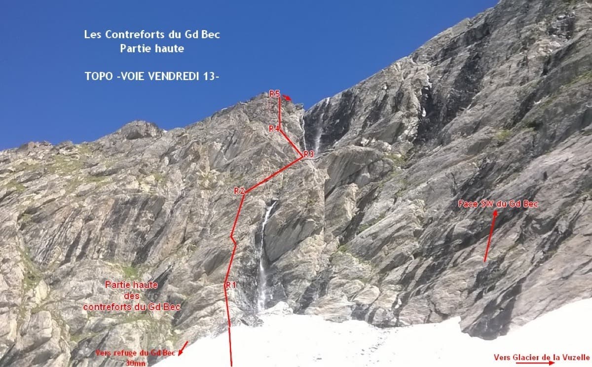
A short, sunny high-mountain route at 2800 m in the Vanoise: five 25 to 30 m pitches of 4b to 5b with one or two moves of 5c that can be pulled through, then an easy scramble. The bolting is generous enough that parties with little experience enjoy it. The setting, below the south-west face of the Grand Bec, is the reason to walk up.
5c6 pitches180 m
Italy · Gaeta & Sperlonga
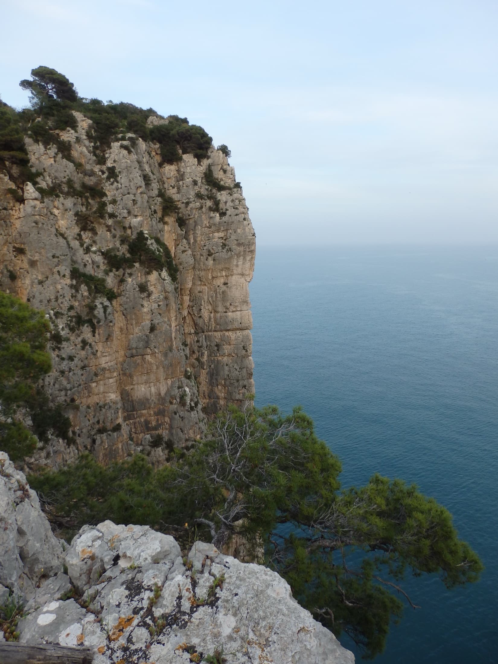
The easiest and one of the most repeated long routes on the Gaeta sea cliff. You abseil to a terrace just above the waves, traverse left, pull one polished 5c move and then climb chimneys and clefts beside a huge detached needle to the cliff top. The setting is the attraction: bridging in a chimney hanging over the sea.
5c5 pitches155 m
Committing
Austria · Inntal (Haiming Geierwand)
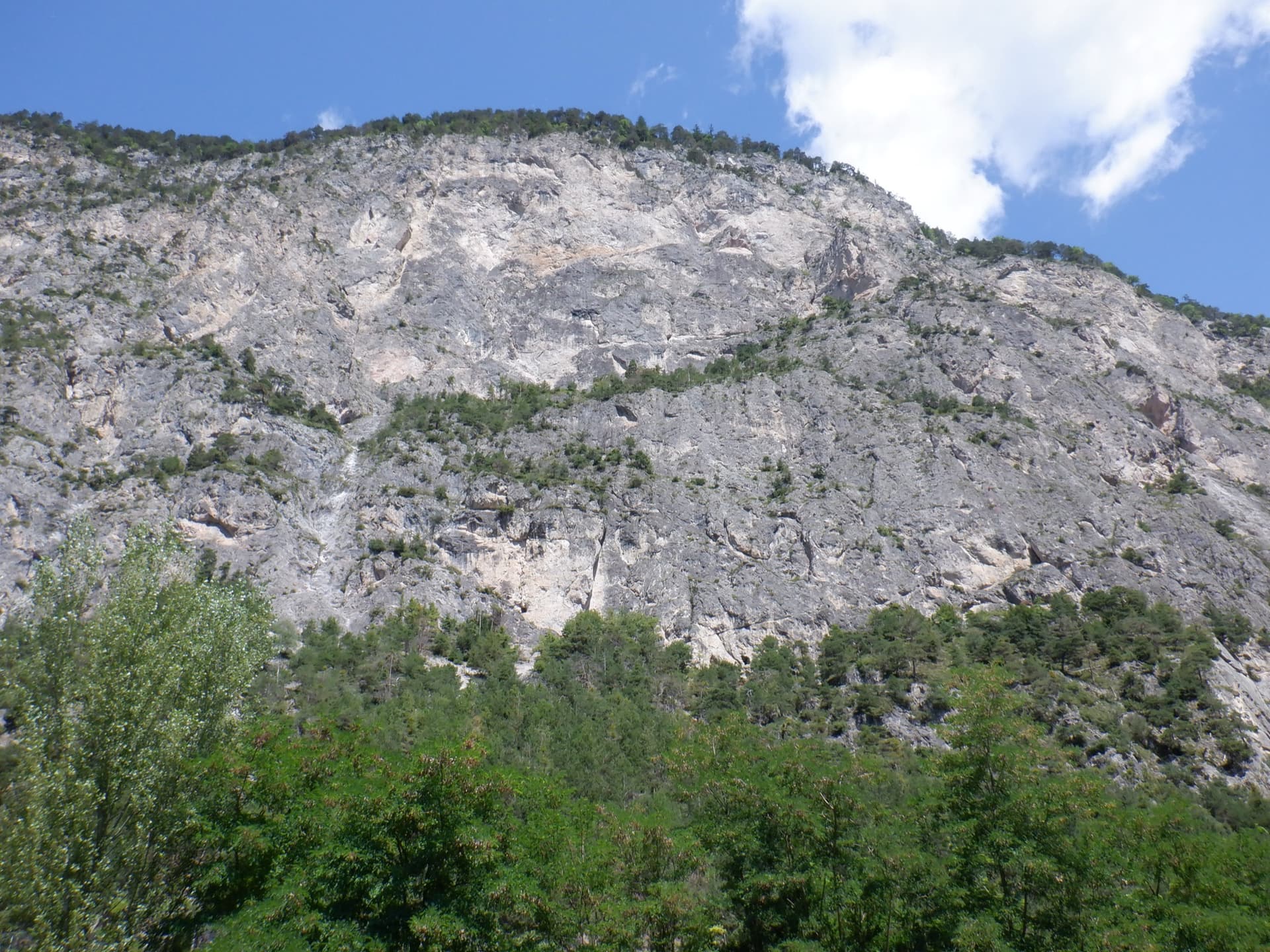
The easiest worthwhile line on the lower tier of the Geierwand. Most people know only its first pitch as a single-pitch climb, but four more good pitches continue to the big ledge on edges and pockets, with a long traverse and a short chimney in the middle. Mostly around 5a with a few 5c passages.
5c5 pitches130 m
Compiled from published sources and last verified October 2026. Bolts, anchors and access change. Climbing is dangerous and you are responsible for your own decisions: check a current topo and read the disclaimer.