Multipitch Atlas

Via Beatrice

Montagna Spaccata (Gaeta) · Gaeta & Sperlonga · Italy

CommittingBolting confidence: high

The easiest and one of the most repeated long routes on the Gaeta sea cliff. You abseil to a terrace just above the waves, traverse left, pull one polished 5c move and then climb chimneys and clefts beside a huge detached needle to the cliff top. The setting is the attraction: bridging in a chimney hanging over the sea.

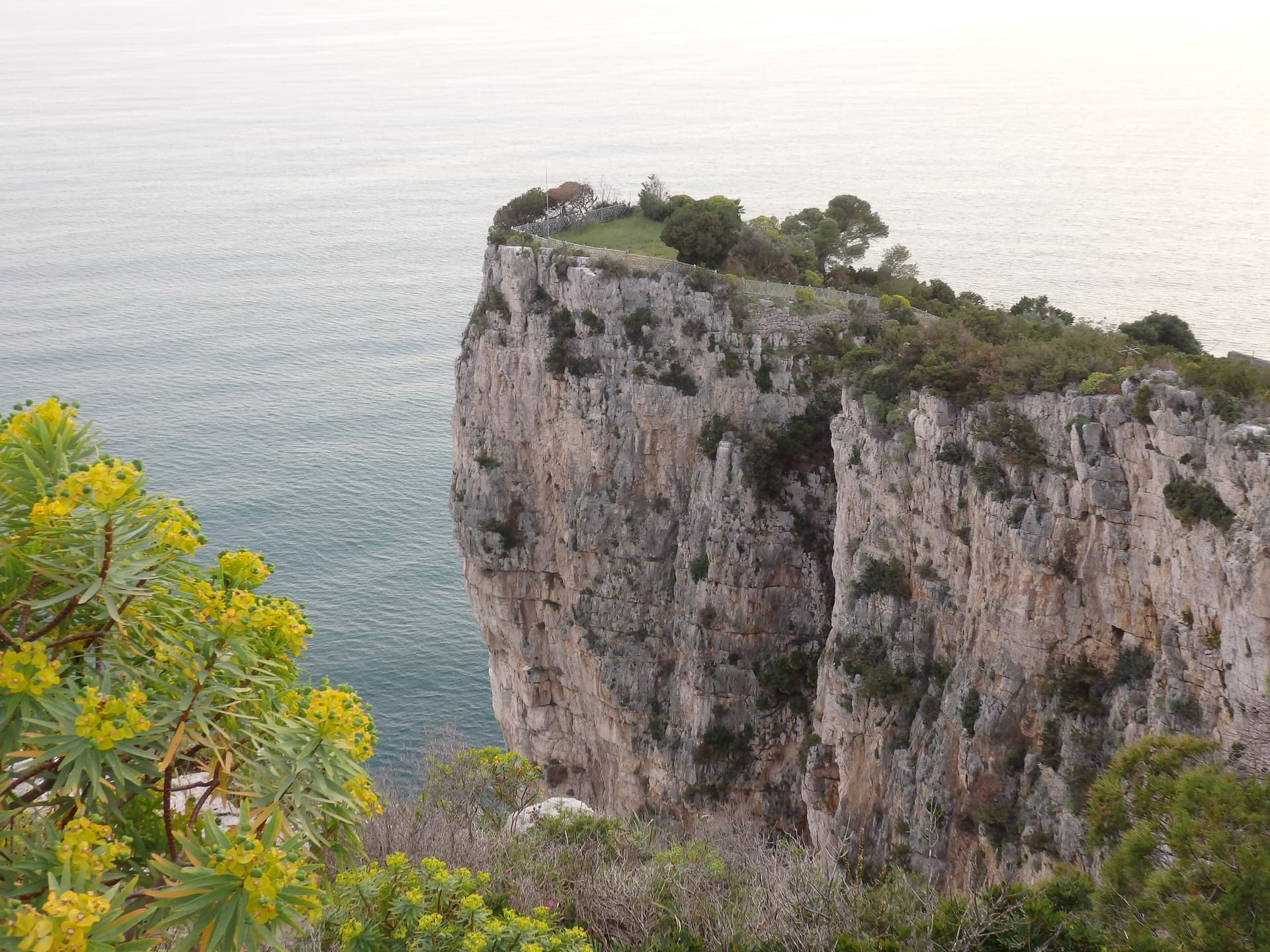
The limestone sea cliff of the Montagna Spaccata on Monte Orlando, Gaeta, seen from the park path. Via Beatrice is on these cliffs; the line is not marked.Photo: Eloise Poitier · CC BY-SA 4.0

Photo

The limestone sea cliff of the Montagna Spaccata on Monte Orlando, Gaeta, seen from the park path. Via Beatrice is on these cliffs; the line is not marked.Photo: Eloise Poitier · CC BY-SA 4.0
Hardest pitch
5c
Pitches
5
Length
155 m
Approach
–
Aspect
SW
South-west-facing
Rope
1×70 m
(four approach abseils) or 2×60 m

The route

Overview

Via Beatrice is the gentlest way up the Montagna Spaccata, the 100 to 150 m sea cliff below the sanctuary on Monte Orlando. You reach it by abseiling the Via dei Camini to a terrace a few metres above the water, so the day is committing even though the climbing is mostly 4c to 5b. The line traverses left, forces a short wall with a single 5c move, then enters the cleft beside a detached needle and finishes up an airy chimney. It was re-bolted in titanium in 2025 and recent parties describe the equipment as excellent. Expect company: it is one of the most repeated routes on the wall.

The climbing

Pitch by pitch

Pitches of Via Beatrice
PitchGradeNotes
P13A horizontal traverse left, rising slightly, to a big terrace (3 on camptocamp, 3+ on Gulliver). After this pitch a December 2025 party advises coiling the ropes, walking into the recess and belaying directly below the start of pitch 2 to avoid rope drag.
P25cGo up and left towards the right-hand edge of the pillar and force a short wall onto a ledge. The one 5c move is steep, physical and polished, and can be aided on the bolts. A December 2025 party went first right and then left between the dwarf palms to a belay with a chain; you can also continue up the gully on the right to two glue-ins that need linking. Some loose rock.
P35bEnter the cleft to the right of the detached needle and climb a steep, well-featured wall and corner to a flat, airy terrace on the col at the foot of the needle. 5b on camptocamp, 5a on Gulliver; a 2021 party thought 5a. A December 2025 party notes loose material here.
P45bSlant left, then make a committing, exposed traverse left to the base of the final chimney and bridge up it for about 10 m to the belay. Sustained at the grade but well supplied with holds.
P54cBridge straight up the chimney, steep but on big holds, passing behind a jammed block or aiming for the opening on the left, then a small corner to the top. Belay on the tree at the cliff edge.

Getting there

Approach

To the parking

Base yourself in Gaeta (Lazio), on the coast between Rome and Naples. Drive to the Santuario della Montagna Spaccata on Monte Orlando. A December 2025 party used a convenient car park shortly before the sanctuary entrance; a December 2024 party describes informal parking near the sanctuary. The sources read give no public-transport details.

On foot

From the sanctuary follow the road and path uphill to the left, past the entrance of the Grotta del Turco; signs read 'Free Climbing'. At the seventh hairpin (a December 2024 count) take a faint path on the right. Pass a first terrace with two unlinked glue-ins and continue to the next terrace, which has two abseil stations: this is the top of the Via dei Camini. All the stations on this line, including the intermediate ones, were replaced in 2025 and have glue-ins, ring and chain; the one to use is the titanium station with a chain. With a single 70 m rope it takes four abseils of about 15, 35, 25 and 30 m. Two 60 m abseils on double ropes are possible but raise the risk of dropping the ropes in the sea. Take care pulling the last abseil because the water is very close. From the landing terrace, shared with the Via dello Spigolo, the first pitch traverses left to a comfortable ledge with several belays. No walking time is published; one party took 45 minutes over the abseils.

Map of the walk-in

  • Crag

Loading map

The point marks the crag, not the exact start of the route.

Coordinates · crag

41.20472, 13.57056

Point from camptocamp waypoint 40736

For your phone or watch

Download GPX

Contains the route point. Opens in most mapping apps and GPS watches.

Points are compiled from published sources, with the precision stated above. They were not surveyed on the ground: check them against a current topo.

Getting down

Descent

You top out on the cliff top at a tree. None of the sources describes the way back in detail; it is the short walk through the park to the path you used to reach the abseils and down to the sanctuary.

Retreat

Bailing off the route

Committing

You abseil in to a terrace a few metres above the sea, and from there the normal way out is to climb a route. Abseiling back down from any belay only returns you to that terrace. Via Beatrice is the easiest exit from it, and its one hard move can be aided on the bolts.

Retreat from
Any belay, but only back to the sea-level terrace, which is not an exit.
Point of no return
When you pull the ropes after the last approach abseil.
Carry
Nothing you carry makes a retreat work; judge the sea and the party before the abseils. Slings to link belay bolts are useful in any case.
Basis
Inferred from the route factsThe sources for this route describe the abseil approach to a terrace above the water and no other exit, but none of them discusses retreat directly.

Partly inferred from the route facts

Safety

Hazards

  • Once you pull the abseil ropes the only practical way off is to climb out. Do not start if the sea is rough: an April 2018 party saw waves of nearly 10 m making the foot of some routes unreachable the morning after a storm.
  • Many other routes on this wall are in very poor condition. The guides who re-bolted this route found that about one old anchor in ten failed under a single hammer blow, including glue-ins that looked sound. Stay on the titanium bolts.
  • The crux move on pitch 2 is polished.
  • Loose rock is reported on the second and third pitches; parties are often below you.
  • Gulls nest on the cliff in spring. A June 2021 party found a chick at the last abseil station, and an April 2018 party retreated from a neighbouring route because of a nest.
  • Heat: there is little shade on the lower pitches from midday.

Sun and weather

Conditions

South-west facing sea cliff, in full sun from late morning: a June 2021 party found it very hot by midday on the crux, although much of the upper route is sheltered inside the clefts. Autumn to spring is the season. The start is only a few metres above the water, so swell and wind decide whether the route is possible; westerly winds drive waves straight onto the cliff.

Usual season · Jan to May, Oct to Dec

Sun on the wall · SW-facing

Working out the sunlit hours for this month.

  • January (usual season): not yet worked out
  • February (usual season): not yet worked out
  • March (usual season): not yet worked out
  • April (usual season): not yet worked out
  • May (usual season): not yet worked out
  • June: not yet worked out
  • July: not yet worked out
  • August: not yet worked out
  • September: not yet worked out
  • October (usual season): not yet worked out
  • November (usual season): not yet worked out
  • December (usual season): not yet worked out

Sun on the wallDaylight, wall in shade● Usual season

Estimated from the wall's aspect only. Ignores surrounding terrain, gullies and the wall's exact shape. Clock times are local to the wall (Central European time), for the 15th of each month.

Monthly climate averages for Gaeta & Sperlonga, 1991-2020
MeasureJan (usual season)Feb (usual season)Mar (usual season)Apr (usual season)May (usual season)JunJulAugSepOct (usual season)Nov (usual season)Dec (usual season)
Mean daily high °C121214172125282824211613
Mean daily low °C65710141820211814117
Rain days 1 mm or more1010101185339111412

● marks the usual climbing season. Averages for 1991-2020 at about 48 m. Area climate from Open-Meteo reanalysis. Temperatures are adjusted to the height of the crag; rain comes from a grid cell of about 10 to 25 km, and summer highs on sea cliffs can read a few degrees low. The wall and valley can differ. Data: Open-Meteo, CC BY 4.0.

What to carry

Gear

A single 70 m rope is enough for the four approach abseils (one party used a single 80 m); two 60 m ropes also work. No source gives a quickdraw count. Take slings and karabiners to link the belay points where there is no chain. Helmet.

Checklist

Quickdraws
Number not given in the sources
Rope
1×70 m (four approach abseils) or 2×60 m
Helmet
One each
Abseil device and prusik
The descent or the retreat involves abseiling
Slings
Mentioned for retreat

Derived from the route data; check it against a current topo

From climbers

Reader reports

Reader reports are not being collected yet. Until they are, check a current topo and the local club or guidebook publisher for recent changes to Via Beatrice.

Worth knowing

Tips

  • Allow about 2 hours for the climb after the abseils.
  • The crux can be pulled through on the bolts, which brings the obligatory grade to about 5b.
  • Belaying below the start of pitch 2 rather than at the end of the traverse saves a lot of rope drag.
  • A December 2024 party used it as a warm-up before La Croce del Sud the same afternoon, which starts from the same abseil line.

Open questions

Where sources disagree

  • Pitch 3 grade: 5b on camptocamp, 5a on Gulliver. Pitch 1: 3 on camptocamp, 3+ on Gulliver.
  • Approach abseils: Gulliver's description gives 15, 35, 20 and 30 m; a December 2024 report gives 15, 35, 25 and 30 m.
  • Finding the abseils: a December 2024 report says the seventh hairpin; a June 2021 camptocamp report says roughly the fourth bend after the monastery gate, by memory.
  • Pitch numbering: several Gulliver reports count the opening traverse differently, so their 'L1' crux is the second pitch here.
  • Fixed gear: Gulliver's description (last revised 2020) and a 2021 camptocamp report mention cord threads on the upper pitches. These predate the 2025 re-bolt; the December 2025 report mentions only titanium glue-ins and belays.
  • No source gives pitch lengths or bolt counts; only the 155 m total is published.

Provenance

Sources

Same area

More in Gaeta & Sperlonga

All routes in Gaeta & Sperlonga
The limestone sea cliff of the Montagna Spaccata on Monte Orlando, Gaeta, dropping from the park's edge into the Tyrrhenian Sea. Via dello Spigolo is on these cliffs; the exact line is not marked.

Italy · Gaeta & Sperlonga

Via dello Spigolo

This was the second route on Montagna Spaccata and is the cliff's classic moderate. It's never hard but never trivial, with continuous exposure above the sea: a horizontal crack traverse, an athletic juggy chimney and corners. Gulliver gives UIAA grades V–V+ / IV+–V / V+ / V / V–IV+ (5c max), converted here.

5c5 pitches125 m

Read the cautionsCommitting
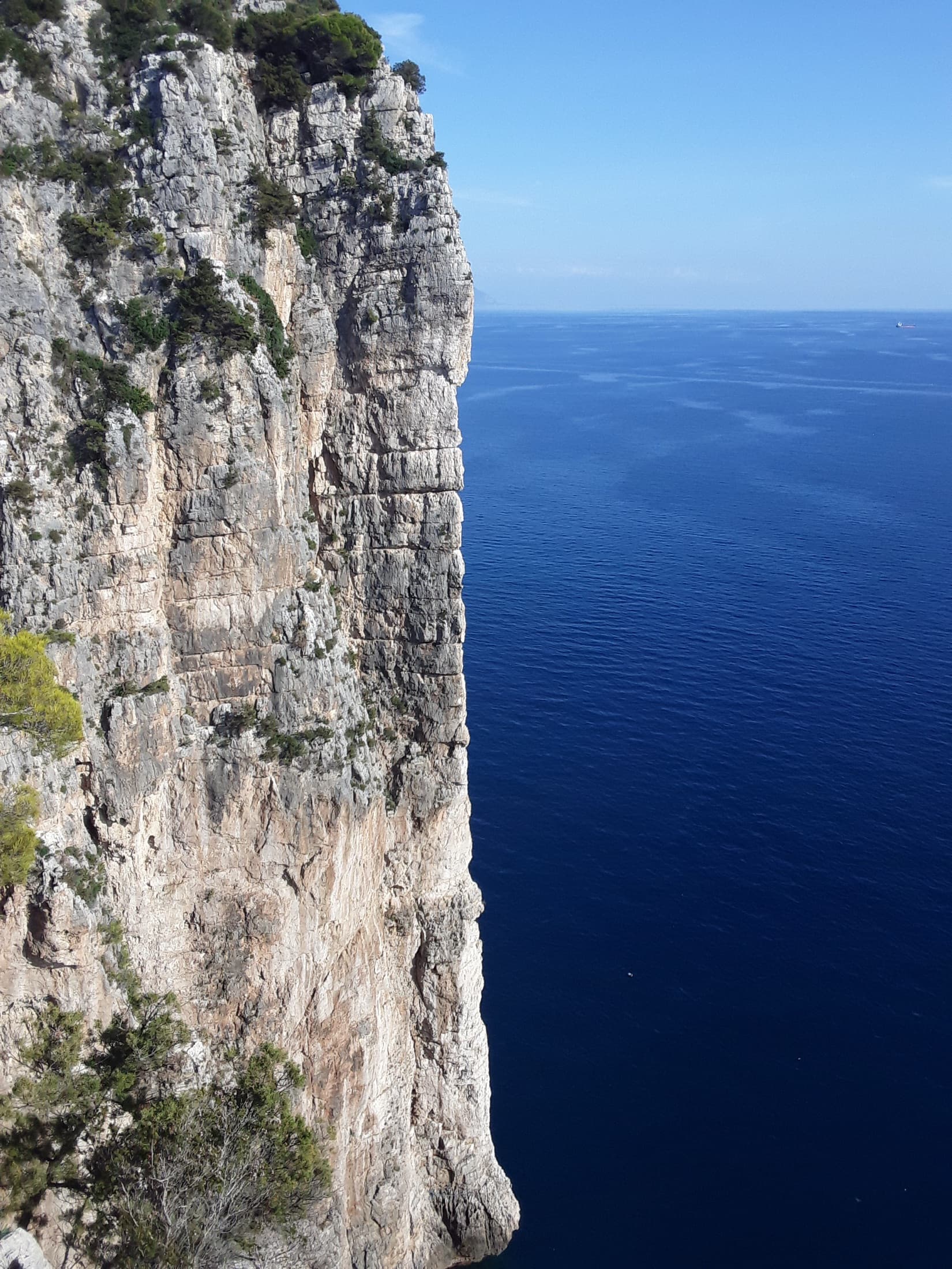
The vertical limestone spur of La Croce del Sud dropping straight into the Tyrrhenian Sea at the Montagna Spaccata, Gaeta.

Italy · Gaeta & Sperlonga

La Croce del Sud

The showpiece of the Montagna Spaccata: four steep, exposed pitches up a knife-edge spur that drops straight into the sea, reached by abseil. Sustained around 6a+ on good holds, with an overhang at 6b to finish.

6b4 pitches120 m

Read the cautionsCommitting

Around 5c · about 5 pitches

Similar elsewhere

The Geierwand above Haiming seen from the car park; Kollerweg climbs the lower tier to the vegetated ledge at mid-height

Austria · Inntal (Haiming Geierwand)

Kollerweg

The easiest worthwhile line on the lower tier of the Geierwand. Most people know only its first pitch as a single-pitch climb, but four more good pitches continue to the big ledge on edges and pockets, with a long traverse and a short chimney in the middle. Mostly around 5a with a few 5c passages.

5c5 pitches130 m

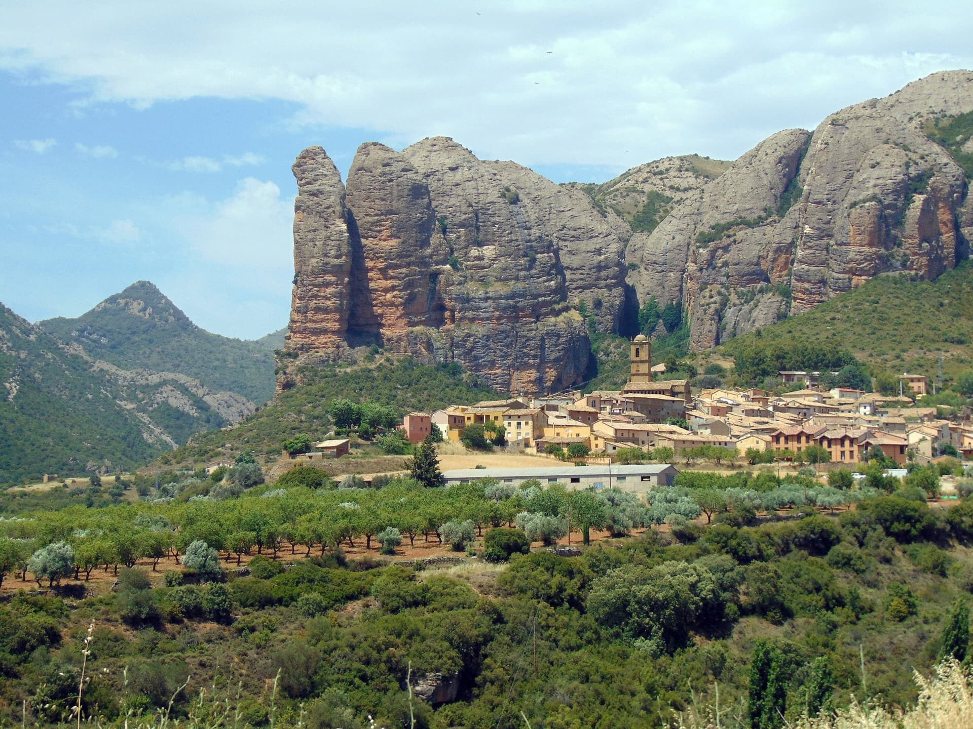
The Mallos de Agüero rising directly behind the village, seen from the south-east, with the detached tower of Peña Sola at the left end; the east-facing walls are towards the right-hand end of the massif.

Spain · Riglos & Agüero (Mallos)

Tierra de Naide

A morning-sun route at the quieter Agüero mallos. Easy slabs separate two fine steep walls, including a superb vertical 5c plaque on pitch 4. Take care with some loose cobbles on the last traverse.

5c5 pitches145 m

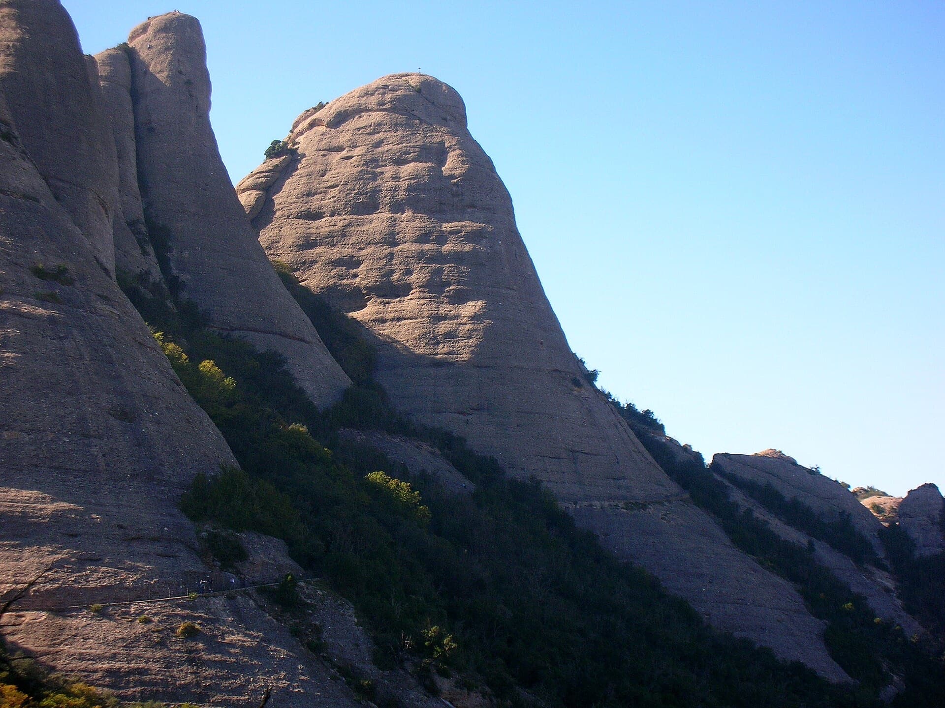
The Gorra Frígia, the Phrygian-cap tower of the Gorros, seen from the Camí Nou de Sant Jeroni, which passes the foot of its north-east side where Via del Carles starts. The line itself is not marked.

Spain · Montserrat

Via del Carles

A straightforward line up the 'Phrygian cap' visible from the monastery. Only the short vertical step on pitch 3 is sustained. It is a good route for learning Montserrat pebble technique and has a summit cross with a big view. The approach takes about 10 min from the Sant Joan funicular top.

5c5 pitches140 m

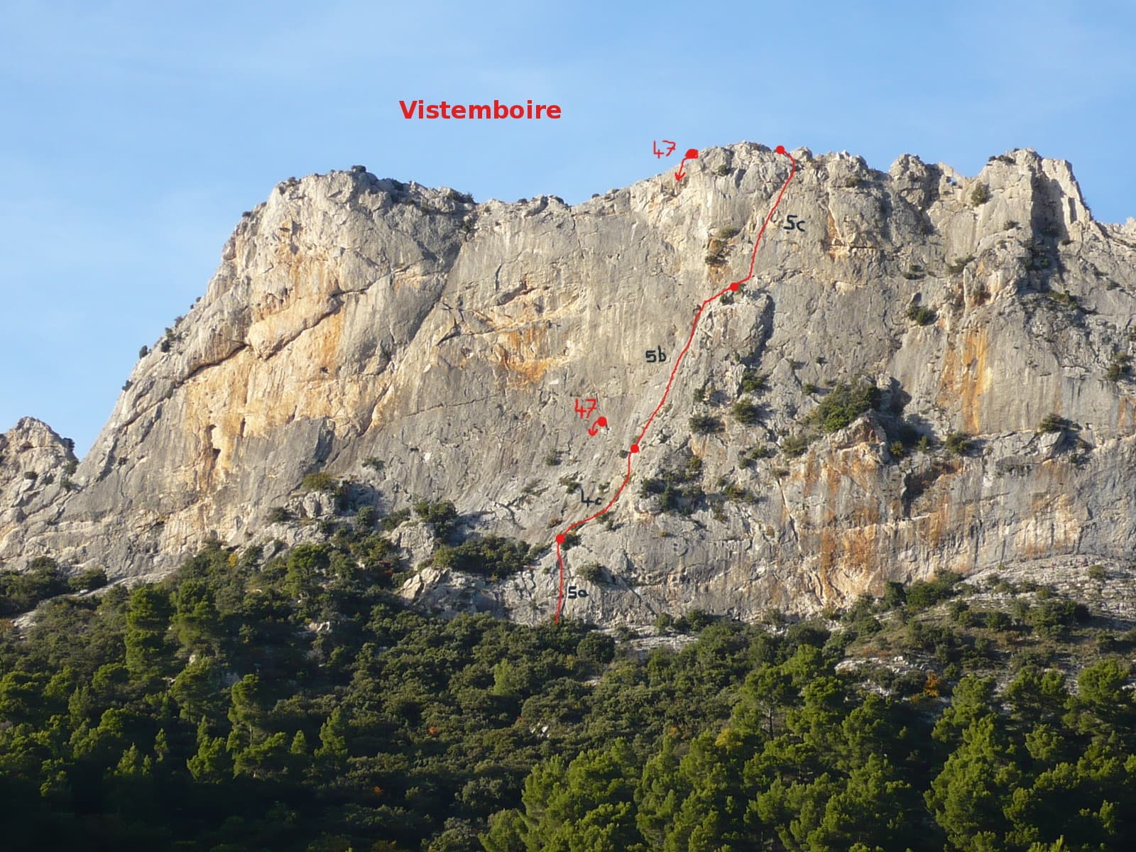
Vistemboir drawn on the south face of the Chaîne du Clapis, with pitch grades and the abseil line

France · Dentelles de Montmirail

Vistemboir

The classic easy multipitch of the Clapis south face, first climbed in 1964 and now fully re-equipped: a slab, an easy rightward ramble, an obvious corner and a superb steep 5c pitch on very grippy rock with a short airy traverse. A 5 m scramble reaches the crest for a view of both sides of the chain and Mont Ventoux.

5c5 pitches90 m

Compiled from published sources and last verified October 2026. Bolts, anchors and access change. Climbing is dangerous and you are responsible for your own decisions: check a current topo and read the disclaimer.