Multipitch Atlas

Tierra de Naide

Mallos de Agüero, east face · Riglos & Agüero (Mallos) · Spain

Easy to bailBolting confidence: high

A morning-sun route at the quieter Agüero mallos. Easy slabs separate two fine steep walls, including a superb vertical 5c plaque on pitch 4. Take care with some loose cobbles on the last traverse.

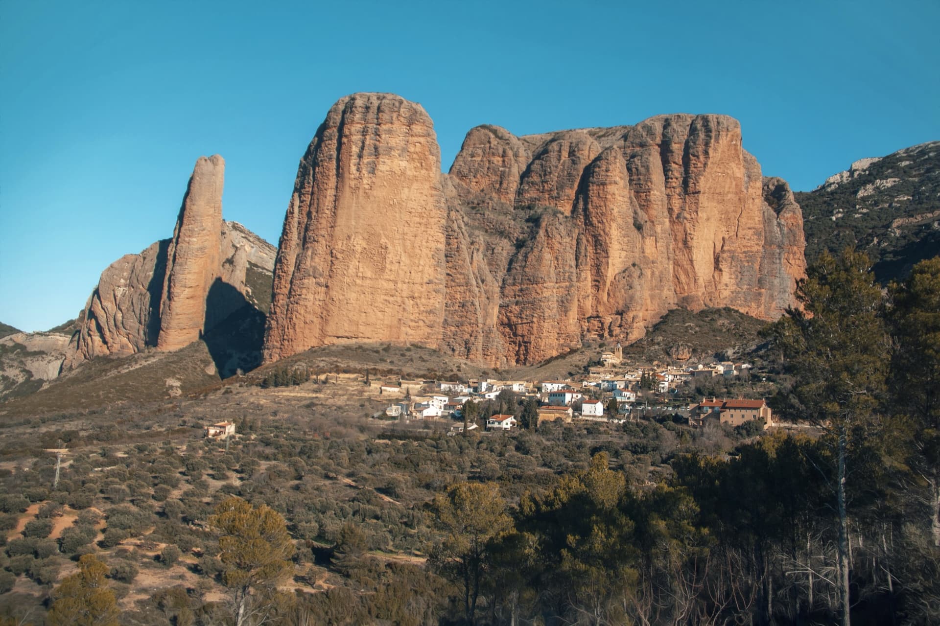
The Mallos de Agüero rising directly behind the village, seen from the south-east, with the detached tower of Peña Sola at the left end; the east-facing walls are towards the right-hand end of the massif.Photo: Josep Maria Viñolas Esteva · CC BY-SA 4.0

Photo

The Mallos de Agüero rising directly behind the village, seen from the south-east, with the detached tower of Peña Sola at the left end; the east-facing walls are towards the right-hand end of the massif.Photo: Josep Maria Viñolas Esteva · CC BY-SA 4.0
Hardest pitch
5c
Pitches
5
Length
145 m
Approach
20 min
Aspect
E
East-facing
Rope
1×60 m

The route

Overview

A five-pitch bolted route on the east face of the Mallos de Agüero, left of the deep vertical crack that splits the wall. Two steeper pitches, a bulging 5a wall and a fine vertical 5c wall of 30 m, are separated by easy-angled slabs. It was equipped in 2010 by the Sendero Límite team in their usual generous style and is one of the easiest ways up the Agüero towers. The approach is short and the place is far quieter than Riglos, but the rock is hollow in places and the descent is down a steep equipped gully.

In pictures

Photos

Approach photo

The climbing

Pitch by pitch

Pitches of Tierra de Naide
PitchGradeLengthBoltsNotes
P14b25 m6 boltsPlus 1 thread. An easy-angled slab with big protruding cobbles alongside the gully; it steepens and bends left before R1. IV- on Komando Kroketa.
P25a30 m9 boltsThe wall steepens to a panza, then continues towards a juniper and trends left to a belay on a ledge. The line doglegs, so the rope drags even without linking.
P34a30 m7 boltsPlus 1 thread. Transition pitch up an easy slab covered in holds, along the edge of the vegetated gully, to R3 at the foot of the wall.
P45c30 m13 boltsThe pitch of the route: a vertical, continuous wall with two thinner sections on good holds. The bolts are on the left edge; climb to their right towards a niche, exit left above it, then follow the wall trending slightly left. Well bolted but not closely enough to aid the whole pitch. The belay rings are slightly left, beside a bolt with chain links.
P54a30 m6 boltsThe bolts go right from the belay: a rising traverse right for 15 m on poor, hollow-sounding conglomerate (test the blocks), then straight up to the juniper that marks the end of the route. Belay on the tree.

Getting there

Approach

To the parking

Agüero is reached from the A-132 (Huesca to Puente la Reina de Jaca): 1 km before Murillo de Gállego when coming from Huesca, turn left on the road to Agüero. Just before the village take the first road up to the right, past the cemetery, to the car park at the upper, east entrance of the village (about 725 m), by an information board and a signpost for the 'Vuelta a los Mallos de Agüero'. You can also park in the village and walk up through the streets, trending right past the old people's home.

On foot · about 20 min

15–25 min. Take the well-marked path beside the information board ('Sendero Circular a los Mallos de Agüero'), which climbs north-east on the right bank of the stream bed past a boulder with two short sport routes, then enters the valley. At about 760 m it crosses to the left bank and bends north. At about 795 m the east face is in clear view, with the deep crack flanked by two spurs. The path recrosses, and 50 m further (about 10 min from the car, at 800 m) a cairn marks a smaller path off left. A couple of minutes on, watch for another cairn on the left so that you do not follow the gully used in descent. Tierra de Naide is left of the crack, starting at the foot of a spur under a block that forms a roof; a named tape hangs on the first protection, a thread a little up on the left. If you arrive above Tierra de Todos, the start is about 20 m lower, round a small rock spur to the left.

Finding the route · 3 photos

  • OverviewEast face of the Mallos de Agüero from the approach through the scrub, with the line of Tierra de Naide drawn in white by a 2024 party: it runs up the spur just left of the deep crack.Photo: lesylv · CC BY-NC-ND 3.0
  • Walk-inWalking in on the small path below the east face of the Mallos de Agüero; the deep crack flanked by two spurs is in view ahead.Photo: janic · CC BY-NC-ND 3.0
  • Start of the routeThe spur immediately left of the deep crack, seen from below on the approach: Tierra de Naide starts at its foot.Photo: janic · CC BY-NC-ND 3.0

Approach photo

Map of the walk-in

  • Crag
  • GPS line

Loading map

The point marks the crag, not the exact start of the route.

GPS line: a line of the walk-in and the descent drawn by its source, not a recorded track. Line drawn on the Camptocamp route page: loop from the Agüero car park to the east face and back. Do not follow it blindly.

GPS line: Camptocamp contributors · CC BY-SA 3.0

Coordinates · crag

42.35920, -0.79598

Point from camptocamp waypoint 1160100

For your phone or watch

Download GPX

Contains the route point and a GPS line. Opens in most mapping apps and GPS watches.

Points are compiled from published sources, with the precision stated above. They were not surveyed on the ground: check them against a current topo.

Getting down

Descent

About 35 min. From the top (about 895 m) head north (right), keeping just left of the crest, over a step and slightly down to a cairned notch just before the main summit of the Mallos; leave the first obvious gully and take the second. A 3 m cable leads horizontally into the line of a steep chimney-gully. From rings or a chain abseil the first chimney: Komando Kroketa calls it a stepped 20 m abseil and suggests using the full length of a 60 m rope; other parties made abseils of 30 m then 45 m, or two of 50 m with chained stations, down the gully. The lower chimneys can also be down-climbed by bridging, helped by a chain, a fixed rope and a knotted rope. From the foot of the gully push through box scrub and follow the base of the wall rightwards to rejoin the approach path. The route's belays are also equipped for abseiling: one party went R3 to R2 (30 m), then R2 to the ground down Tierra de Todos (40 m).

Retreat

Bailing off the route

Easy to bail

Yes. The belays are equipped for abseiling, and one party came down from R3: 30 m to R2, then 40 m to the ground down the neighbouring Tierra de Todos. The route is only five pitches and the first three are easy, so a retreat from below the 5c wall is short.

Retreat from
R1 to R4, which have abseil rings. From R3 the documented line is R3 to R2 (30 m), then R2 to the ground (40 m) down Tierra de Todos. The top belay is a juniper reached by a 15 m rising traverse on poor rock, so from there it is simpler to use the normal descent.
Point of no return
Pitch 5: after the traverse right on hollow rock to the tree belay, finishing and taking the gully descent is the practical way off. This is inferred from the line.
Carry
Two ropes for the 40 m abseil from R2 as reported. With a single 60 m, going belay to belay (pitches of 25 to 30 m) should work but only just reaches; knot the ends.
Basis
Part stated, part inferredCamptocamp states that the belays are equipped for abseil and reports the R3 to R2 to ground retreat; the single-rope option and the remark about pitch 5 are inferred from pitch lengths and the description.

Partly inferred from the route facts

Safety

Hazards

  • Poor rock on the traverse at the start of pitch 5 (hollow-sounding blocks); the rock is fragile in places on other pitches too, and Camptocamp warns that Agüero conglomerate is very friable in spots.
  • The fixed ropes in the descent gully may be old and in doubtful condition. Komando Kroketa stresses that it is a minimally equipped gully, not a via ferrata. Abseil if in doubt.
  • The 5c pitch cannot be aided throughout: Komando Kroketa doubts that anyone without solid V+ will get up it, despite some topos quoting V-/A0.
  • Linking pitches causes heavy rope drag because of the changes of direction.
  • At R4 the next pitch goes right while the belay is to the left; one party did not find R4 at all.
  • Finding the start is awkward: parties have ended up above it and missed R1.

Sun and weather

Conditions

East-facing: first sun in the morning, shade later, which felt cold with a breeze in mid-November. It dries fast and is a good choice after a storm or in uncertain weather, although a neighbouring route was running with water after heavy rain and pitch 1 can be damp. Spring and autumn suit it best. Quiet compared with Riglos; a party or two is typical.

Usual season · Mar to May, Oct to Nov

Sun on the wall · E-facing

Working out the sunlit hours for this month.

  • January: not yet worked out
  • February: not yet worked out
  • March (usual season): not yet worked out
  • April (usual season): not yet worked out
  • May (usual season): not yet worked out
  • June: not yet worked out
  • July: not yet worked out
  • August: not yet worked out
  • September: not yet worked out
  • October (usual season): not yet worked out
  • November (usual season): not yet worked out
  • December: not yet worked out

Sun on the wallDaylight, wall in shade● Usual season

Estimated from the wall's aspect only. Ignores surrounding terrain, gullies and the wall's exact shape. Clock times are local to the wall (Central European time), for the 15th of each month.

Monthly climate averages for Riglos & Agüero (Mallos), 1991-2020
MeasureJanFebMar (usual season)Apr (usual season)May (usual season)JunJulAugSepOct (usual season)Nov (usual season)Dec
Mean daily high °C9101416202629292418129
Mean daily low °C1135913161612942
Rain days 1 mm or more97910107678998

● marks the usual climbing season. Averages for 1991-2020 at about 612 m. Area climate from Open-Meteo reanalysis. Temperatures are adjusted to the height of the crag; rain comes from a grid cell of about 10 to 25 km, and summer highs on sea cliffs can read a few degrees low. The wall and valley can differ. Data: Open-Meteo, CC BY 4.0.

What to carry

Gear

13–14 quickdraws plus belay gear (about 17 if you link pitches 1 and 2). Camptocamp lists the rope as 2×30 m or 2×60 m: a single 60 m covers the climbing and the 20–30 m abseil, and two ropes are needed for the longer abseil options. Helmet.

Checklist

Quickdraws
14
Rope
1×60 m
Helmet
One each
Abseil device and prusik
The descent or the retreat involves abseiling

Derived from the route data; check it against a current topo

From climbers

Reader reports

Reader reports are not being collected yet. Until they are, check a current topo and the local club or guidebook publisher for recent changes to Tierra de Naide.

Worth knowing

Tips

  • Do not link pitches; if you must, link 1 and 2 and skip a few bolts.
  • Combine it with Tierra de Todos (Tierra de Toz), the slightly more sustained V+ route just right of the crack, which shares the approach and descent; one party did both in 5 h with a lunch stop.
  • 'La vía más fácil de Agüero' (two pitches) is another quick add-on nearby.
  • Allow about 1 h 30 to 2 h for the route and 4–4 h 30 car to car.
  • The short bolted routes on the two boulders by the car park fill any spare time.
  • One party based themselves at Camping Armalygal in Murillo de Gállego and found the host knowledgeable about the sectors.

Open questions

Where sources disagree

  • Hardest grade: 5c on Camptocamp, V+ on Komando Kroketa; Komando Kroketa mentions other topos giving V-/A0 and disagrees.
  • Pitch 5 length: 30 m on Camptocamp, 25 m on Komando Kroketa. Total 145 m against 140 m.
  • Descent: Camptocamp describes one abseil then down-climbing with fixed ropes; Komando Kroketa a stepped 20 m abseil or a down-climb; outings report 30 m + 45 m (2021) and two abseils of 50 m (2024). All are listed here; carry enough rope for the longer option.
  • Approach time: 15 min (Komando Kroketa), 25 min (Camptocamp crag page and outings).
  • Quickdraws: 14 (Camptocamp) against 13 (Komando Kroketa).

Provenance

Sources

Same area

More in Riglos & Agüero (Mallos)

All routes in Riglos & Agüero (Mallos)
The classic view of Riglos from the south-west: the slender pinnacle of El Puro on the left, the great dome of Mallo Pisón beside it, and the main wall running right to La Visera above the village.

Spain · Riglos & Agüero (Mallos)

Espolón del Adamelo

This is the gentlest way to sample Riglos. Polished pockets and two bulging 'panzas' lead to a 6a crux that can be pulled through on the bolts (A0). The upper spur is easy, and the Pisón towers loom close by.

6a7 pitches175 m

Read the cautions
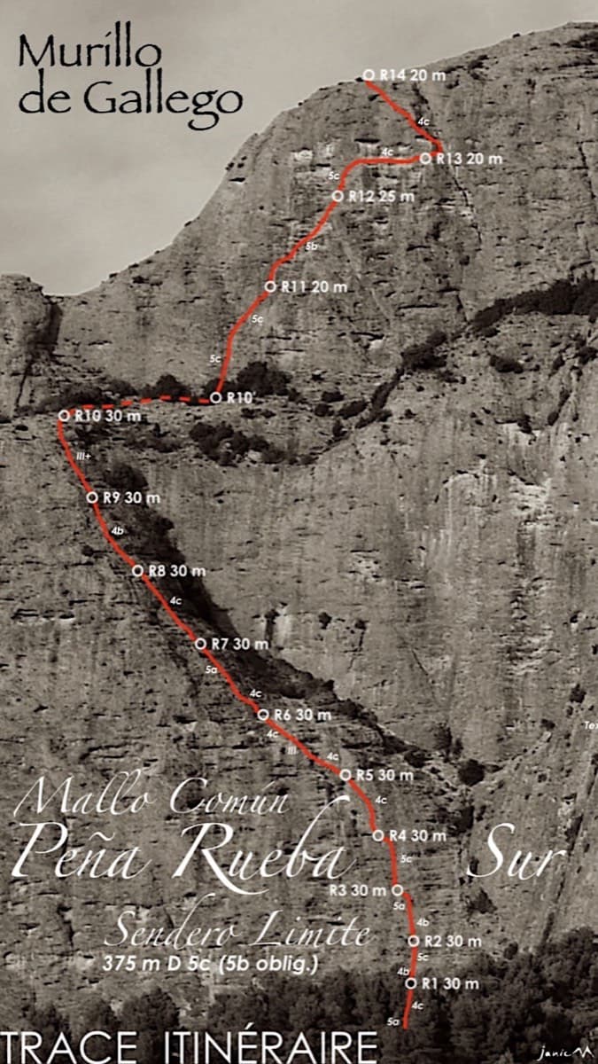
Topo of Sendero Límite on the south face of Peña Rueba (Mallo Común)

Spain · Riglos & Agüero (Mallos)

Sendero Límite

A long beginner's big route on good conglomerate at a moderate angle. Pitches can be linked in pairs with a 60 m rope. A four-pitch headwall with a couple of panzas finishes high above the Gállego valley.

5c14 pitches375 m

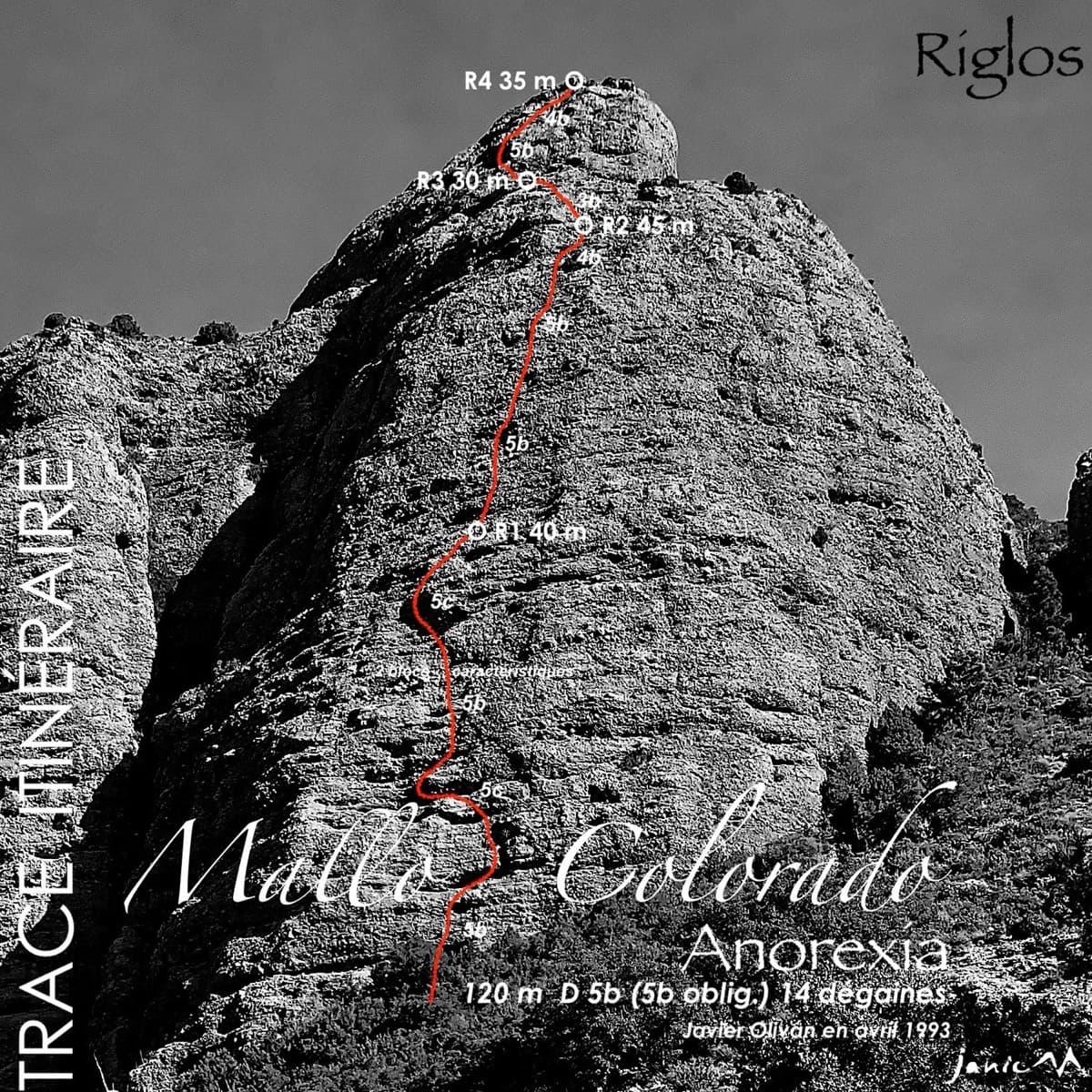
Topo of Anorexia on Mallo Colorado, Riglos

Spain · Riglos & Agüero (Mallos)

Anorexia

The best-known route on the Mallo Colorado. Two steep, juggy panza pitches have a well-protected boulder move, giving a short taste of real Riglos steepness at a friendly grade.

5c4 pitches150 m

Around 5c · about 5 pitches

Similar elsewhere

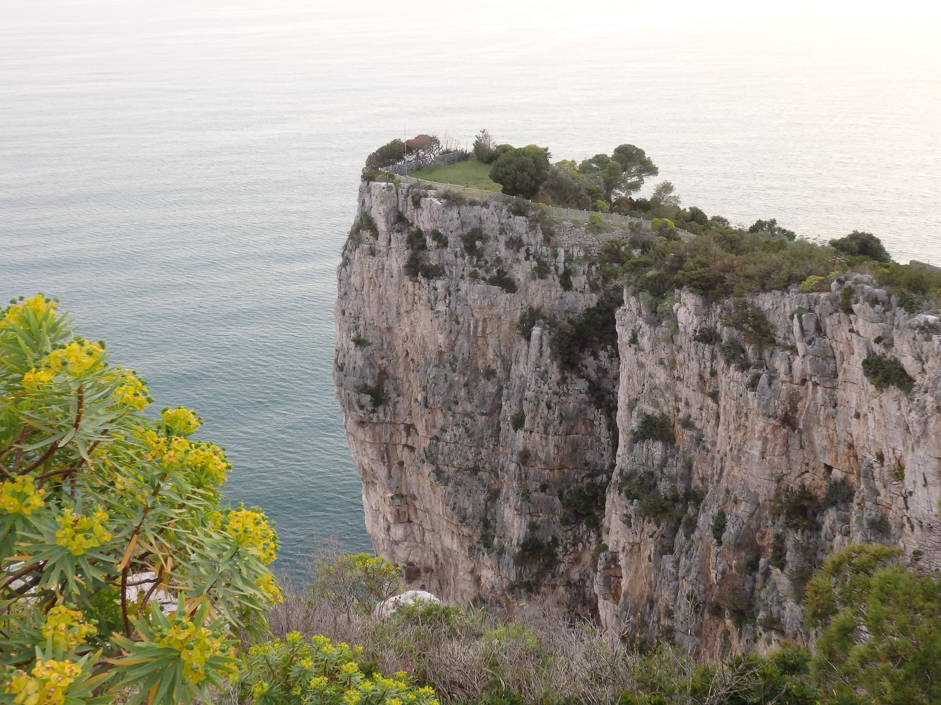
The limestone sea cliff of the Montagna Spaccata on Monte Orlando, Gaeta, dropping from the park's edge into the Tyrrhenian Sea. Via dello Spigolo is on these cliffs; the exact line is not marked.

Italy · Gaeta & Sperlonga

Via dello Spigolo

This was the second route on Montagna Spaccata and is the cliff's classic moderate. It's never hard but never trivial, with continuous exposure above the sea: a horizontal crack traverse, an athletic juggy chimney and corners. Gulliver gives UIAA grades V–V+ / IV+–V / V+ / V / V–IV+ (5c max), converted here.

5c5 pitches125 m

Read the cautionsCommitting

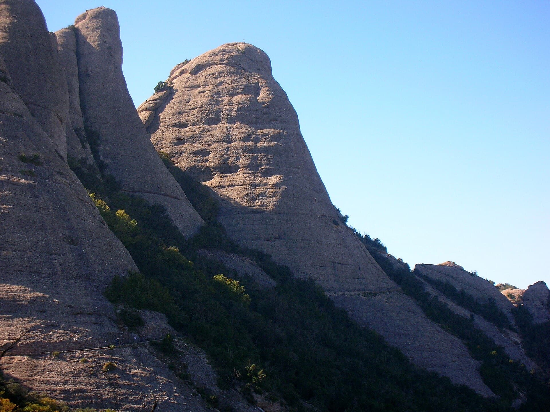
The Gorra Frígia, the Phrygian-cap tower of the Gorros, seen from the Camí Nou de Sant Jeroni, which passes the foot of its north-east side where Via del Carles starts. The line itself is not marked.

Spain · Montserrat

Via del Carles

A straightforward line up the 'Phrygian cap' visible from the monastery. Only the short vertical step on pitch 3 is sustained. It is a good route for learning Montserrat pebble technique and has a summit cross with a big view. The approach takes about 10 min from the Sant Joan funicular top.

5c5 pitches140 m

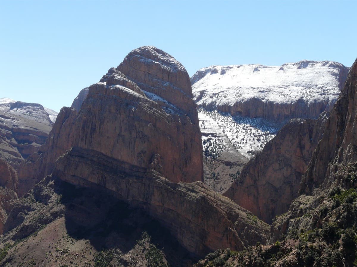
The Oujdad above Taghia

Morocco · Taghia

Ibtisane

The easiest bolted line at Taghia: three steep 5c walls linked by two long, easy garden pitches. Goes into shade around midday in April.

5c5 pitches235 m

Read the cautions

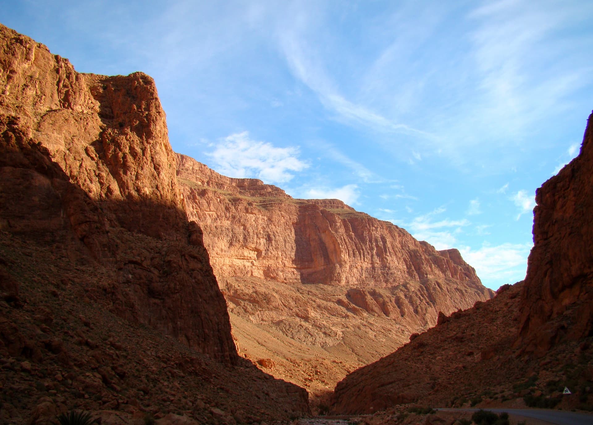
The Todra Gorge looking upstream from above the narrows in morning light. The Paroi du Levant is further up the valley and is not identifiable in this view.

Morocco · Todra Gorge (Todgha)

The first of Ela

Five long pitches of 5c in the centre of the Levant wall, sharing its first pitch with Tromba Bitonale.

5c5 pitches195 m

Read the cautions

Compiled from published sources and last verified October 2026. Bolts, anchors and access change. Climbing is dangerous and you are responsible for your own decisions: check a current topo and read the disclaimer.