Multipitch Atlas

Vistemboir

Chaîne du Clapis – secteur Vistemboir · Dentelles de Montmirail · France

Easy to bailBolting confidence: high

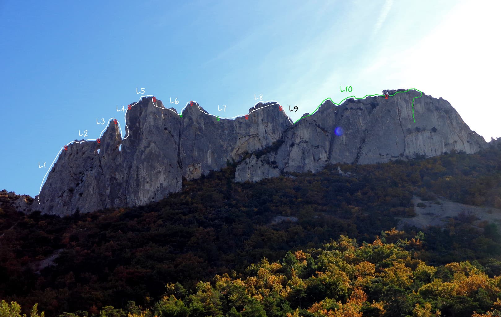
The classic easy multipitch of the Clapis south face, first climbed in 1964 and now fully re-equipped: a slab, an easy rightward ramble, an obvious corner and a superb steep 5c pitch on very grippy rock with a short airy traverse. A 5 m scramble reaches the crest for a view of both sides of the chain and Mont Ventoux.

Vistemboir drawn on the south face of the Chaîne du Clapis, with pitch grades and the abseil linePhoto: Olive 65. · CC BY-NC-ND 3.0

Topo

Vistemboir drawn on the south face of the Chaîne du Clapis, with pitch grades and the abseil linePhoto: Olive 65. · CC BY-NC-ND 3.0
Hardest pitch
5c
Pitches
5
Length
90 m
Approach
15 min
Aspect
SE
South-east-facing
Rope
2×50 m

The route

Overview

Vistemboir gives its name to sector 6 of the Chaîne du Clapis, the south-facing wall above Lafare. Four pitches of rising difficulty lead to the crest. The first two are a warm-up, the third follows a clean corner, and the fourth, steep and sustained with a rest in a big hole before a little traverse, is the reason to come. Descent is by abseil. SummitPost singles out this sector for its well-bolted mid-grade multipitch routes. Several neighbouring lines share the upper wall, so take care to stay on route on pitch 4.

The climbing

Pitch by pitch

Pitches of Vistemboir
PitchGradeLengthNotes
P15a30 mUp the slab following the expansion bolts, with one harder move near the top. Short enough to link with pitch 2 on a 50 m rope, with drag. You can also start up Égoïne, to the right.
P24c25 mFrom here on the protection is glue-ins. Easy-angled slabs with a little vegetation, slanting firmly right. Slings help with rope drag.
P35b30 mStraight up the obvious corner. Some flakes are loose: a May 2026 party calls them very wobbly. Leave the corner on the right to belay on a good platform. There are four belays in a row here, two of them on the platform; the left-hand ones are in line for the next pitch.
P45c30 mA superb, steep pitch on very adherent rock: straight up with one 5c move to a big hole, where you can rest with a shoulder inside, then a short airy traverse right on small holds (a second, well-protected 5c move). Chained belay just after the traverse, or two belays a little further right. Several lines leave the third belay; take the most obvious, with the belay visible from below. A 2025 party warns that it is easy to stray onto a 6c.
P535 mOptional: a short scramble to the crest, where an old rusty belay stands on the left. A 2026 party found two solid bolts joined by a grey rope on the crest, and loose stones.

Getting there

Approach

To the parking

From Beaumes-de-Venise take the road towards Lafare. About 2 km before Lafare turn left onto a small road (signed for the Domaine du Grand Montmirail according to a 2026 report) and follow it almost to its end, to the compulsory car park with an information board about the vultures that nest here. This is 'P5' in the local guide; the road towards the Col d'Alsau is closed to traffic and the old P4 car park can no longer be used. An on-demand bus runs from Carpentras to Lafare and Beaumes-de-Venise; the car park is about 2.5 km from Lafare.

On foot · about 15 min

From the car park, left of the vulture information board, follow a good path marked with blue and yellow dots towards the Dentelles. After about 15 minutes, below the walls, take a good path to the right marked with a blue cross, before you reach a sign for the Dent Hadamard sector. You reach the face where 'Égoïne' is written in blue. Take the track to the left into a small wood: Vistemboir is the right-hand of two lines there, on 10 mm hangers, with the name painted at the foot and on a small stone.

Map of the walk-in

  • Crag
  • Parking

Loading map

The point marks the crag, not the exact start of the route.

Coordinates · crag

44.15222, 5.03889

Parking

44.14660, 5.03353

Parking du Clapis (camptocamp waypoint 189183)

Point from camptocamp waypoint 43247 (Chaîne du Clapis)

For your phone or watch

Download GPX

Contains the route point and parking. Opens in most mapping apps and GPS watches.

Points are compiled from published sources, with the precision stated above. They were not surveyed on the ground: check them against a current topo.

Getting down

Descent

Abseil from the fourth belay. Camptocamp gives 2, 3 or 4 abseils. An April 2026 party went from the top to the third belay, then straight down to a chained belay on a platform (mind the trees), then 45 m to the ground. The camptocamp page for Égoïne, which shares the top pitch, says that with two 50 m ropes two abseils of about 45 m reach the ground via a belay just down and left of a prominent juniper. A May 2026 party descended from the third belay in two abseils via the first belay of Égoïne.

Retreat

Bailing off the route

Easy to bail

Abseiling is the normal descent and the belays are chained with maillons, so you can go down from any of them. A May 2026 party stopped at the third belay and reached the ground in two abseils via the first belay of Égoïne.

Retreat from
Any belay.
Point of no return
None.
Carry
The ropes you climb on: two 50 m ropes for long abseils, or shorter abseils between belays on a single rope.
Basis
Stated in the sourcesCamptocamp gives the abseil descent and the chained belays; a 2026 report describes a retreat from the third belay.

Safety

Hazards

  • Loose flakes in the corner of pitch 3 and loose stones on the summit crest.
  • Several lines cross on pitch 4; a wrong turn leads onto much harder ground.
  • Trees and flakes on the abseil line can snag ropes.
  • People gather at the foot of the wall: do not knock anything off.
  • Summer fire-risk closures and autumn hunting days.

Sun and weather

Conditions

South-east to south facing below a crest at about 487 m, sheltered from the mistral, which is why it is climbed from autumn to spring. It is too hot in summer. Reports run from late September to May. Between 15 June and 15 September the Vaucluse massifs can be closed by prefectoral order on days of high fire risk; the decision is published after 18:00 for the next day and there is a fine for being on a closed massif. In autumn and early winter organised boar hunts take place in the massif on some days of the week.

Usual season · Feb to May, Oct to Dec

Sun on the wall · SE-facing

Working out the sunlit hours for this month.

  • January: not yet worked out
  • February (usual season): not yet worked out
  • March (usual season): not yet worked out
  • April (usual season): not yet worked out
  • May (usual season): not yet worked out
  • June: not yet worked out
  • July: not yet worked out
  • August: not yet worked out
  • September: not yet worked out
  • October (usual season): not yet worked out
  • November (usual season): not yet worked out
  • December (usual season): not yet worked out

Sun on the wallDaylight, wall in shade● Usual season

Estimated from the wall's aspect only. Ignores surrounding terrain, gullies and the wall's exact shape. Clock times are local to the wall (Central European time), for the 15th of each month.

Climate figures for Dentelles de Montmirail are not available yet

What to carry

Gear

Camptocamp lists only two or three slings for the rope drag on pitch 2. No source gives a quickdraw count for this route; a combination on the same wall asks for 14 to 15 when pitches are linked. Two 50 m ropes make the descent quick; with a single rope plan on four short abseils.

Checklist

Quickdraws
Number not given in the sources
Rope
2×50 m
Helmet
One each
Abseil device and prusik
The descent or the retreat involves abseiling

Derived from the route data; check it against a current topo

From climbers

Reader reports

Reader reports are not being collected yet. Until they are, check a current topo and the local club or guidebook publisher for recent changes to Vistemboir.

Worth knowing

Tips

  • Pitch 1 can be skipped by walking in along the ledge to the start of pitch 2.
  • Égoïne, just to the right, makes a slightly harder start and joins Vistemboir for the 5c pitch.
  • Maryline, on the same chain, was combined with Vistemboir by a 2026 party as a short second route.

Open questions

Where sources disagree

  • The name is written 'Vistemboire' on the photo-topo and in a 2026 report.
  • Aspect: south-east on the camptocamp route page; the crag page and neighbouring routes call the face south.
  • Number of abseils: 2, 3 or 4 on camptocamp, depending on rope length; the photo-topo marks two abseils of 47 m.
  • Quickdraws: no figure is published for this route, so the card leaves it blank.
  • Only camptocamp gives a pitch-by-pitch description; SummitPost and ClimbingAway confirm the sector, its bolting and the approach in general terms.

Provenance

Sources

Same area

More in Dentelles de Montmirail

All routes in Dentelles de Montmirail
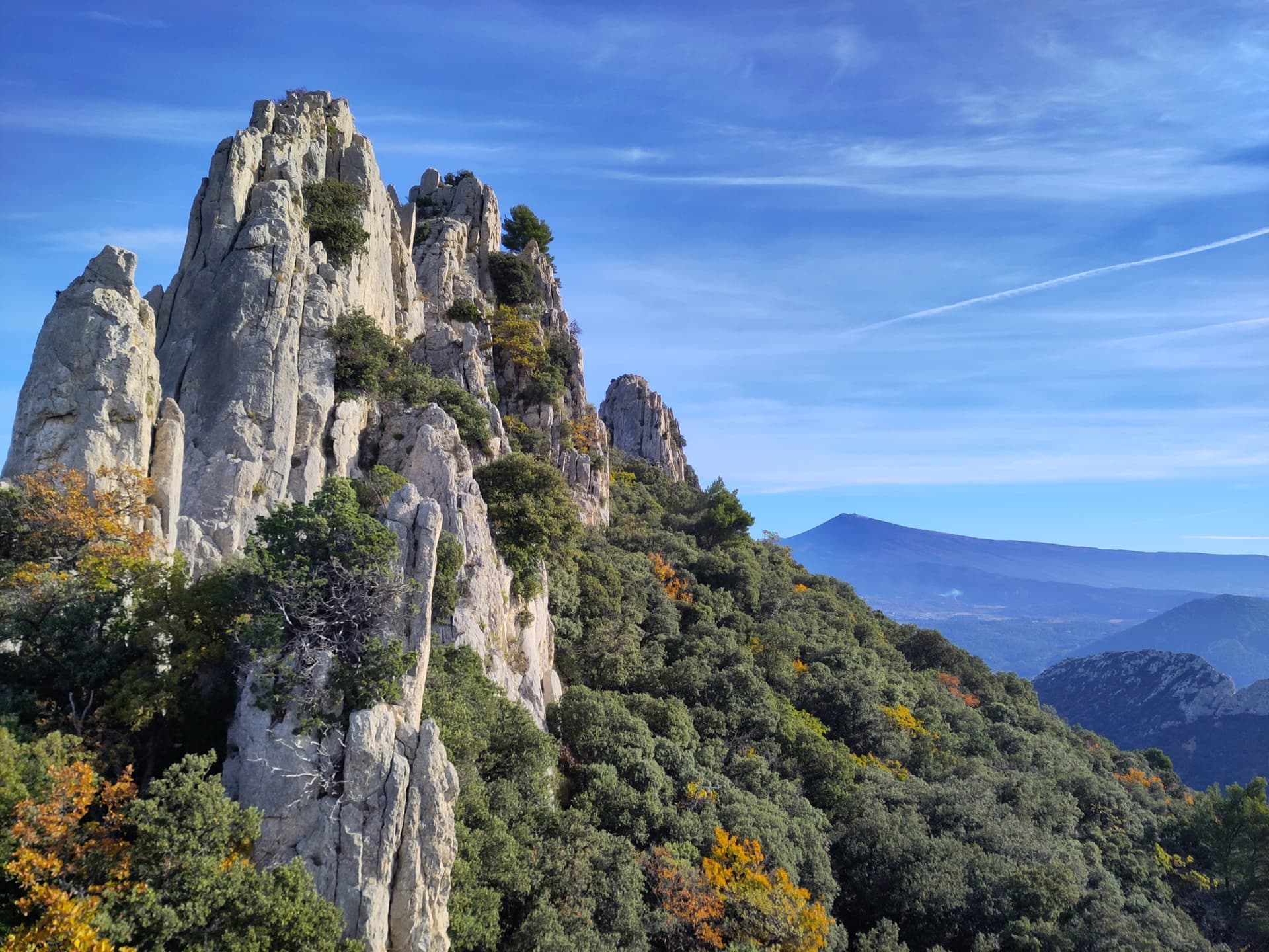
Limestone towers on the Gigondas chain of the Dentelles de Montmirail, photographed during a traverse of the Florets crest, with Mont Ventoux on the horizon.

France · Dentelles de Montmirail

Traversée des Florets

A west-to-east traverse of the six towers of the Florets crest, alternating short pitches with five short abseils and ending on a knife-edge. First climbed in 1928, it is the classic introduction to ridge climbing in Provence. The moves of 5 are short but polished and cannot be avoided, and all the rope work makes it slower than its length suggests.

5b9 pitches120 m
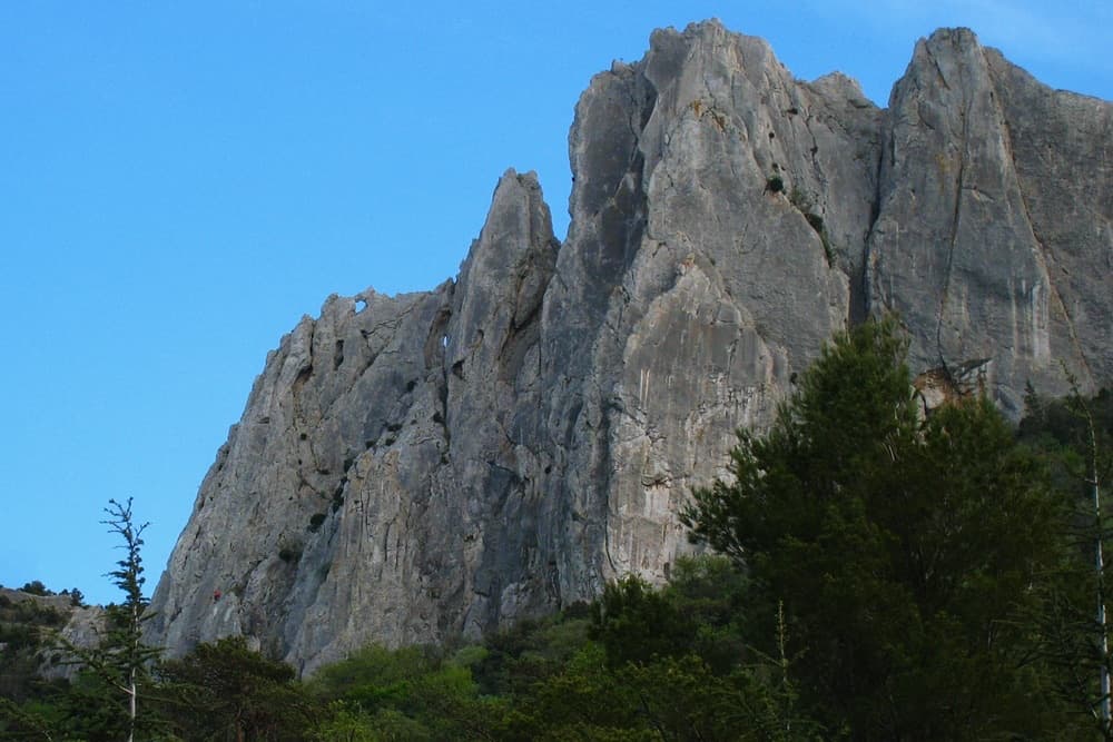
The north face of the Gigondas chain at the Aiguillette Lagarde and Trois Plaques sectors, with a window through the crest visible on the left; Petite Émeline climbs on this side. The line is not marked.

France · Dentelles de Montmirail

Petite Émeline

A short, generously bolted beginner's multipitch on the north face of the Gigondas chain: an easy corner, a fine vertical wall, a rising traverse, and then a squeeze through a natural window in the crest to finish on the sunny south side. Polished from traffic but full of character, and done in an hour or so.

5b4 pitches65 m

The crest of the Turc on the Gigondas chain with the pitches of the east-to-west traverse numbered, from the Brèche de la Pousterle on the left to the Roc du Turc on the right

France · Dentelles de Montmirail

Traversée de la Crête du Turc

A ridge traverse along the knife-edge crest of the highest of the Dentelles, from the Brèche de la Pousterle to the Roc du Turc (627 m): a bolted arête, a pillar, an abseil onto a rock arch above a hole, a steep 5c or 6a pitch and a crest 50 cm wide in places. Lots of rope work and a lot of air for the grade, with escapes on both sides.

5c11 pitches90 m

Read the cautions

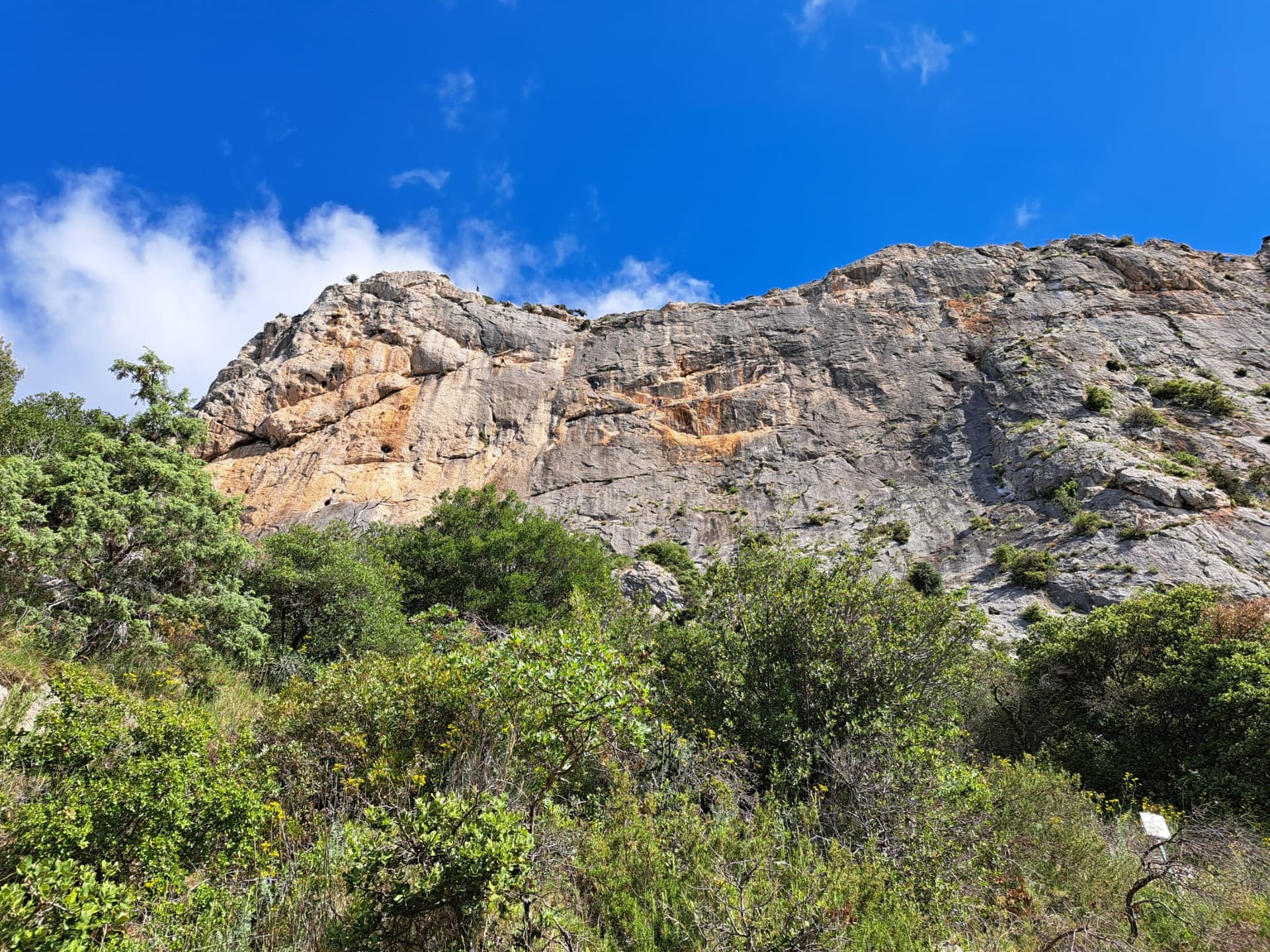
The south face of the Chaîne du Clapis above the Vistemboir sector, photographed from the approach by a party on the Diagonale des Vires Rouges, which slants left across the orange-streaked upper wall. The line is not marked.

France · Dentelles de Montmirail

La Diagonale des Vires Rouges

The best long outing on the Clapis south face: six pitches that start up easy slabs beside Vistemboir and then slant left across the orange ledges of the upper wall, with a horizontal crack traverse, a thin traverse on rough 'pebbledash' rock and a short, fierce 6b to finish. Technical climbing on very sculpted rock with plenty of atmosphere for a 150 m wall.

6b6 pitches150 m

Around 5c · about 5 pitches

Similar elsewhere

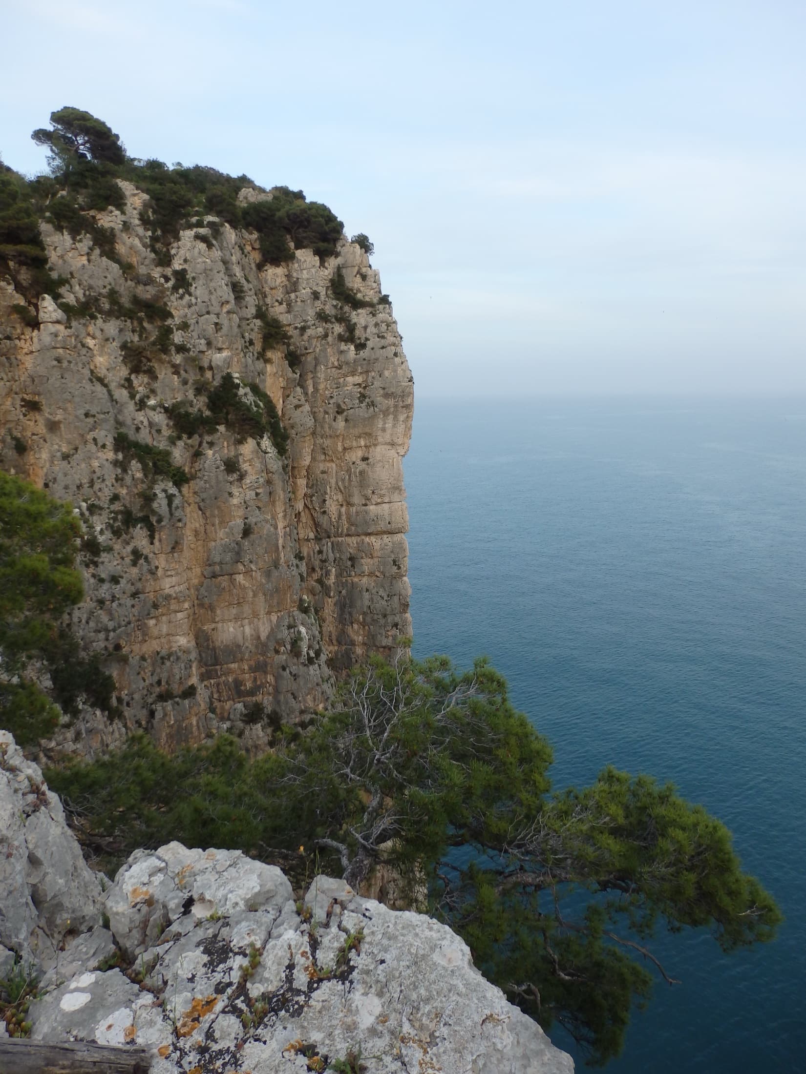
The limestone sea cliff of the Montagna Spaccata on Monte Orlando, Gaeta, seen from the park path. Via Beatrice is on these cliffs; the line is not marked.

Italy · Gaeta & Sperlonga

Via Beatrice

The easiest and one of the most repeated long routes on the Gaeta sea cliff. You abseil to a terrace just above the waves, traverse left, pull one polished 5c move and then climb chimneys and clefts beside a huge detached needle to the cliff top. The setting is the attraction: bridging in a chimney hanging over the sea.

5c5 pitches155 m

Committing

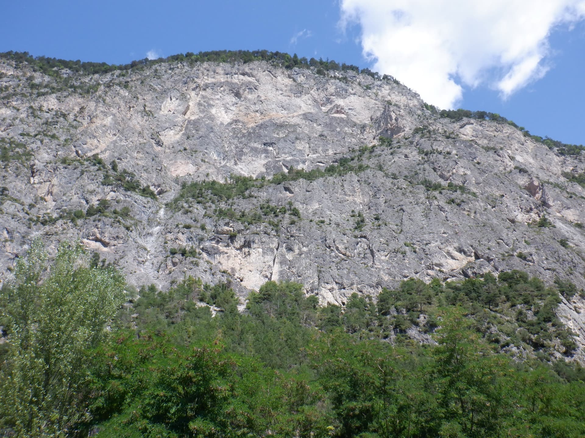
The Geierwand above Haiming seen from the car park; Kollerweg climbs the lower tier to the vegetated ledge at mid-height

Austria · Inntal (Haiming Geierwand)

Kollerweg

The easiest worthwhile line on the lower tier of the Geierwand. Most people know only its first pitch as a single-pitch climb, but four more good pitches continue to the big ledge on edges and pockets, with a long traverse and a short chimney in the middle. Mostly around 5a with a few 5c passages.

5c5 pitches130 m

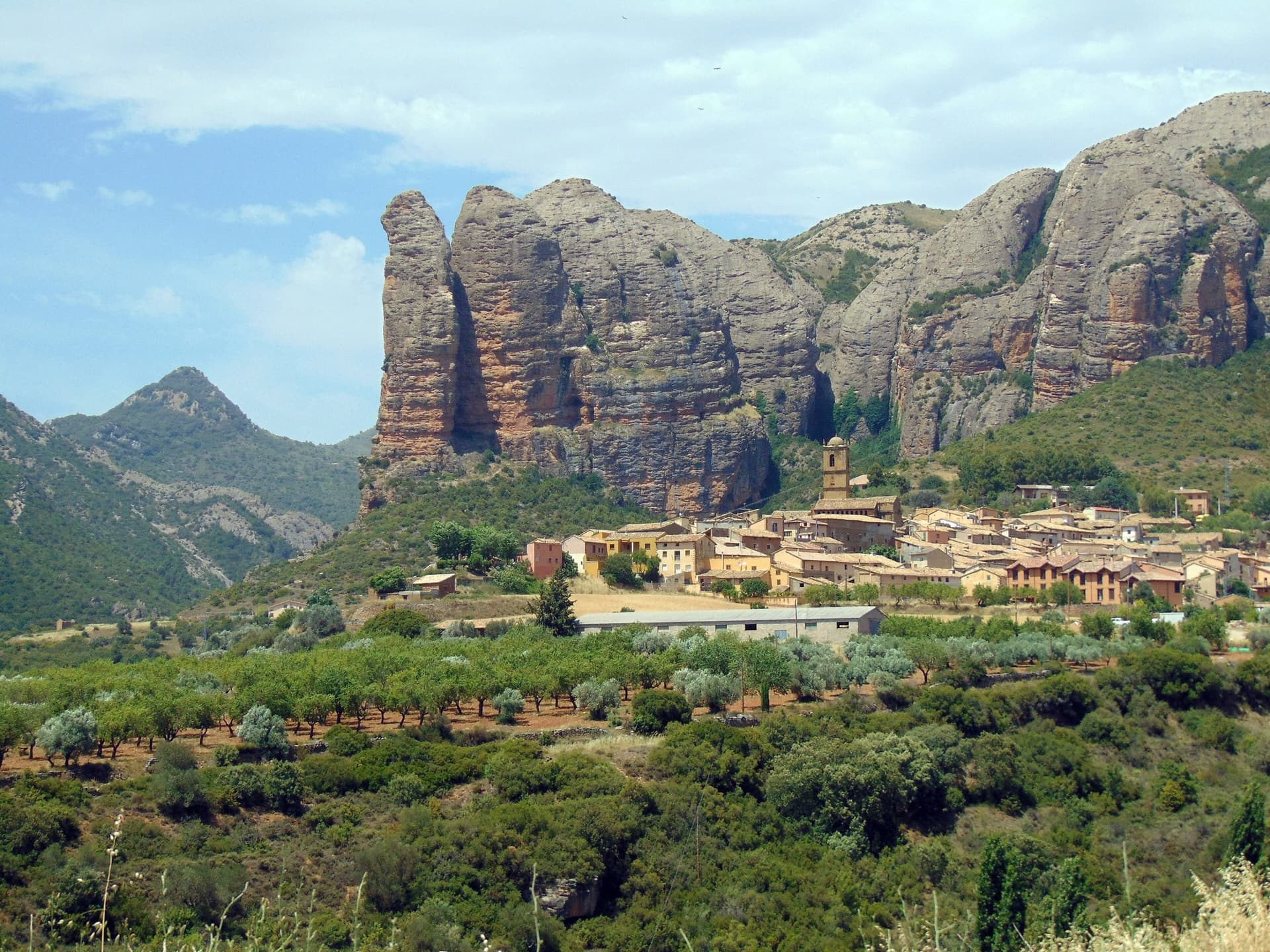
The Mallos de Agüero rising directly behind the village, seen from the south-east, with the detached tower of Peña Sola at the left end; the east-facing walls are towards the right-hand end of the massif.

Spain · Riglos & Agüero (Mallos)

Tierra de Naide

A morning-sun route at the quieter Agüero mallos. Easy slabs separate two fine steep walls, including a superb vertical 5c plaque on pitch 4. Take care with some loose cobbles on the last traverse.

5c5 pitches145 m

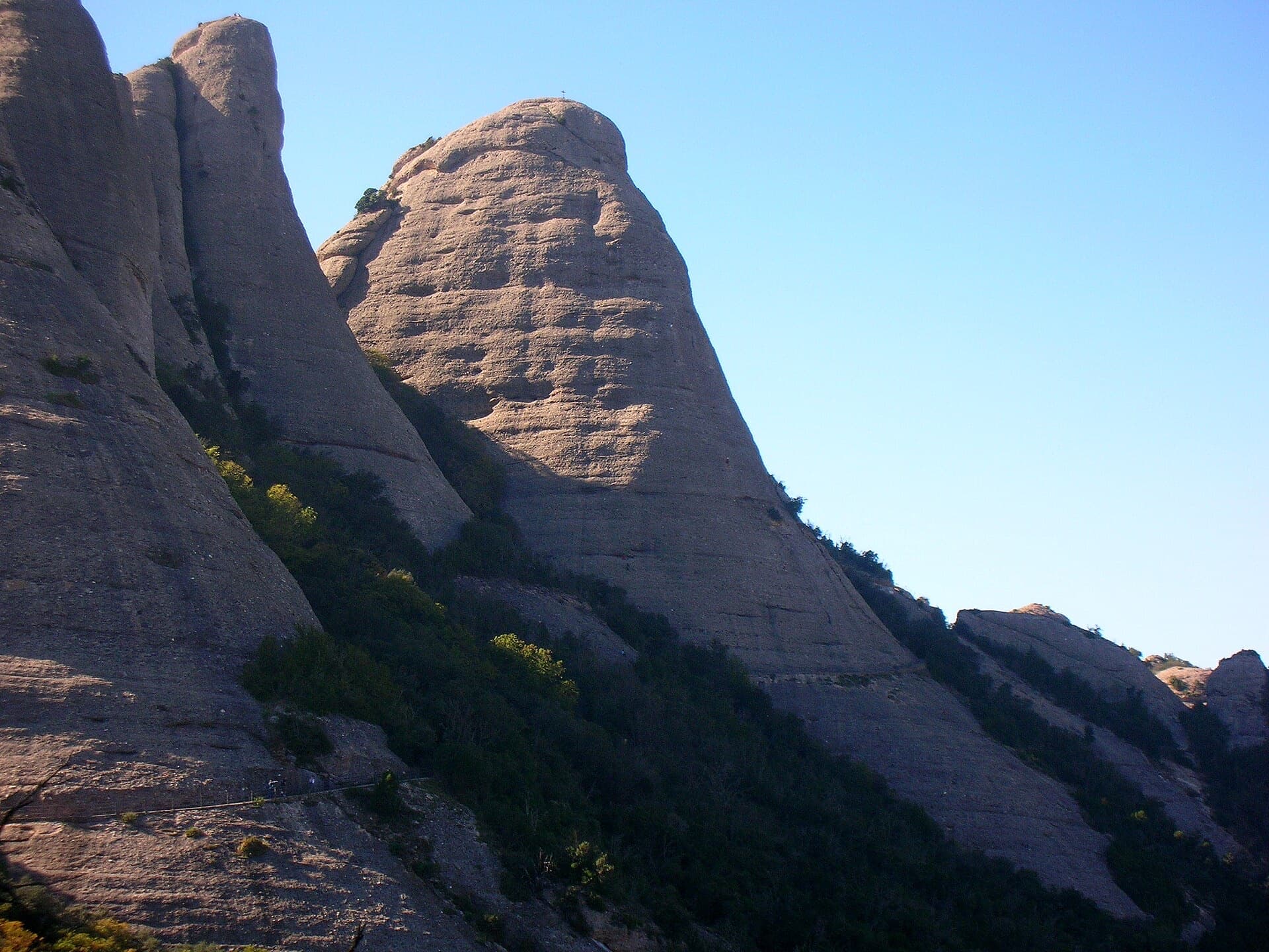
The Gorra Frígia, the Phrygian-cap tower of the Gorros, seen from the Camí Nou de Sant Jeroni, which passes the foot of its north-east side where Via del Carles starts. The line itself is not marked.

Spain · Montserrat

Via del Carles

A straightforward line up the 'Phrygian cap' visible from the monastery. Only the short vertical step on pitch 3 is sustained. It is a good route for learning Montserrat pebble technique and has a summit cross with a big view. The approach takes about 10 min from the Sant Joan funicular top.

5c5 pitches140 m

Compiled from published sources and last verified October 2026. Bolts, anchors and access change. Climbing is dangerous and you are responsible for your own decisions: check a current topo and read the disclaimer.