Multipitch Atlas

Traversée de la Crête du Turc

Chaîne de Gigondas – Crête du Turc · Dentelles de Montmirail · France

Read the cautionsEasy to bailBolting confidence: medium

A ridge traverse along the knife-edge crest of the highest of the Dentelles, from the Brèche de la Pousterle to the Roc du Turc (627 m): a bolted arête, a pillar, an abseil onto a rock arch above a hole, a steep 5c or 6a pitch and a crest 50 cm wide in places. Lots of rope work and a lot of air for the grade, with escapes on both sides.

The crest of the Turc on the Gigondas chain with the pitches of the east-to-west traverse numbered, from the Brèche de la Pousterle on the left to the Roc du Turc on the rightPhoto: pieryves · CC BY-SA 3.0

Topo

The crest of the Turc on the Gigondas chain with the pitches of the east-to-west traverse numbered, from the Brèche de la Pousterle on the left to the Roc du Turc on the rightPhoto: pieryves · CC BY-SA 3.0
Hardest pitch
5c
Pitches
11
Length
90 m
Approach
25 min
Aspect
–
Not recorded
Rope
1×50 m
Read before you go

Bolted where it is hard, but easy stretches of crest are protected with slings on spikes, and stonefall onto people below is a real concern.

The route

Overview

The Gigondas chain is a limestone fin a few metres thick. This traverse follows its highest section from east to west, joining existing single pitches and newly bolted links into one outing of eleven sections, two of them abseils. The climbing is never hard, 5b to 5c with optional harder variants, but the position is exceptional and the day involves constant changes between pitching, abseiling and moving together. It is a different outing from the Traversée des Florets on the next crest east, which is already in the atlas, and the two can be linked. Expect three to four hours on the crest.

The climbing

Pitch by pitch

Pitches of Traversée de la Crête du Turc
PitchGradeNotes
P15bThe Arête Lagarde, on glue-in bolts, to a chained belay.
P2–Continue along the almost level crest to the foot of the pillar and a chained belay. There are no bolts, but many places for slings.
P34cClimb the pillar on the crest, on mediocre rock, with many spikes for slings and one bolt at a small shoulder. The chained belay is on the left. Very airy.
P4–Abseil from the pillar and land on the arch above the hole; still roped, cross it into the cleft opposite. Belay on two bolts.
P55cStart on the right above a small bush; the line then divides. On the right, 'Un Baudard pour Deux' is 5c, and a 2025 party found it tiring. On the left, the crack of 'Tranche de Vie' is 6a, which a 2026 party found fine and not hard. Each ends at a chained belay.
P6–From the 5c line, climb the narrows on the left (two bolts), follow the crest past a small iron cross and belay on a chain on the right, at the top of the route Régina. From the 6a line, continue above the belay (two bolts), traverse right and climb the narrows.
P7–Drop down the south side (a bolt with a blue arrow), traverse west on the south face (one bolt), pass right of a dead tree, climb back into the cleft (one bolt), descend slightly and step onto a sharp arête (a glue-in and a chained belay), then follow the crest slightly left (one bolt) to the top, where a glue-in and a chained belay mark the Voie du Surplomb. You can escape at the dead tree by descending the south face to a chained belay and a 20 m abseil to the path.
P8–Follow the crest to the belay of the Dièdre des Parisiens, go down into the cleft on the south side and walk 4 to 5 m. Then either regain the crest (two rusty pegs and a chained belay) and cross a very sharp arête protected by four bolts to a wide ledge and a chained belay, or stay in the cleft, which involves a delicate down-climb. Parties prefer the arête. An escape leads down the south face from the bottom of the cleft, on glue-ins.
P91-2Either an easy traverse on the south face on glue-ins, returning right to the crest at the top, or the short 5c+ variant: 10 m along the south face to a bolt before a bush, then a step on the right with three bolts onto a broad crest of good rock, which leads past three more bolts and a glue-in to a chained belay. A 2026 party advises belaying at the foot of the 5c+ step.
P10–Abseil to the gap east of the Roc du Turc (the Col de la Voie des Vires). You can walk off easily down the south side here.
P113aFrom the gap, move together keeping to the north side, with a few moves of 3 protected by bolts, then along the crest, slightly downhill at first. Finish by a ledge on the north face and a path to the summit of the Turc, or continue along the unbolted crest, with small trees for slings, to an oak that grows horizontally beside an old chained belay.

Getting there

Approach

To the parking

Reach Gigondas (30 minutes by on-demand bus from Carpentras, which has the nearest railway station) and follow the signs for the Dentelles de Montmirail to the Domaine des Florets. From 1 May to 30 September the track beyond is closed to motor vehicles at the Florets hotel: park in the large car park opposite and walk up the track to the Col du Cayron, 10 to 15 minutes more. The col can also be reached from Beaumes-de-Venise via Lafare, where the track is closed just after the Domaine de Cassan in the same months. Camptocamp's crag page says the col itself is closed to vehicles.

On foot · about 25 min

From the Col du Cayron follow the blue-dotted path to the Brèche de la Pousterle. The route starts on the south side of the Arête Lagarde, in the scree just through the brèche, where a glue-in bolt marks the foot. A September 2025 party took 25 minutes from the Florets car park.

Map of the walk-in

  • Crag

Loading map

The point marks the crag, not the exact start of the route.

Coordinates · crag

44.15556, 5.02417

Point from camptocamp waypoint 43128 (Chaîne de Gigondas)

For your phone or watch

Download GPX

Contains the route point. Opens in most mapping apps and GPS watches.

Points are compiled from published sources, with the precision stated above. They were not surveyed on the ground: check them against a current topo.

Getting down

Descent

From the summit of the Roc du Turc go down 10 m to the west, then 10 m north (one bolt). A very polished hole leads from the north side to the south into the 'Chambre du Turc', a small cave with a collapsing stone wall. Leave it by an old handrail and red waymarks towards the Brèche du Turc to the west. Then take the blue-dotted path along the south side of the chain, heading east, to the Brèche de la Pousterle and back down to the Col du Cayron. The hole is quickly reached on the right and easy to overshoot (2026 report). A September 2025 party distrusted the rusty handrail and instead abseiled down the south side from a cord-and-maillon anchor 10 m west of the summit. About 20 minutes back to the car park.

Retreat

Bailing off the route

Easy to bail

Camptocamp lists numerous escapes on the south and north sides and describes three of them: a 20 m abseil from a chained belay below the dead tree on the seventh section, a bolted down-climb of the south face from the cleft on the eighth, and an easy walk down the south side from the gap after the second abseil. Chained belays of single-pitch routes are met all along the crest.

Retreat from
The dead tree on section 7, the cleft on section 8, the gap before section 11, and most chained belays in between.
Point of no return
None, but the abseil onto the arch on section 4 is not easy to reverse.
Carry
The 50 m climbing rope for south-side escapes. Camptocamp warns that on the north side a 50 m single is not always enough.
Basis
Stated in the sourcesEscapes are described in the camptocamp route text and remarks.

Safety

Hazards

  • Stonefall onto people below. Camptocamp advises against the traverse in the tourist season, when many climbers and walkers are underneath, because pitches 2, 3 and 4 can shed stones.
  • Unbolted easy sections on pitches 2, 3 and 11 rely on slings over spikes and trees.
  • The rock on the pillar of pitch 3 is mediocre.
  • Bolts of the single-pitch routes on both faces can lead you off the crest.
  • The descent through the hole is very polished and exposed, and its handrail is old.
  • Escapes on the north side can need more than a 50 m single rope.
  • Strong mistral, and summer fire-risk closures.

Sun and weather

Conditions

The crest runs east to west, rising to 627 m at the Roc du Turc, and catches every wind: camptocamp says to avoid it in a strong mistral. The route alternates between the north and south sides. Reports run from April to November, with early June and late September already hot. Between 15 June and 15 September the Vaucluse massifs can be closed by prefectoral order on days of high fire risk; the decision is published after 18:00 for the next day and there is a fine for being on a closed massif.

Usual season · Mar to Jun, Sep to Nov

Sun on the wall

No estimate: the wall's aspect is not recorded for this route.

Climate figures for Dentelles de Montmirail are not available yet

What to carry

Gear

12 quickdraws, two of them long, 4 to 6 slings and a 50 m single rope. A party that took 2×50 m found it cumbersome. In strong wind radios or a loud voice help.

Checklist

Quickdraws
12
Rope
1×50 m
Helmet
One each
Abseil device and prusik
The descent or the retreat involves abseiling

Derived from the route data; check it against a current topo

From climbers

Reader reports

Reader reports are not being collected yet. Until they are, check a current topo and the local club or guidebook publisher for recent changes to Traversée de la Crête du Turc.

Worth knowing

Tips

  • There are many belays, so pitches can be shortened to suit the party; competent parties move together on the easy sections to save time.
  • Parties report 3 to 4 hours on the crest and 3.5 to 5.5 hours car to car.
  • Petite Émeline starts 30 m from the same brèche and makes a natural warm-up.

Open questions

Where sources disagree

  • Pitch count: camptocamp lists eleven sections including the two abseils, while the photo-topo numbers ten; only four sections carry a grade, so the card leaves the pitch grades blank.
  • Grade: 5c overall with A0 possible on camptocamp. The fifth section is 5c or 6a depending on the line and the ninth is grade 1 to 2 or 5c+, so the hardest obligatory climbing is 5c.
  • Length: camptocamp gives a height of 90 m; the horizontal distance along the crest is much greater and is not published.
  • Descent: the camptocamp text uses the hole and handrail; a 2025 party preferred an abseil from a cord anchor.
  • Only camptocamp describes the traverse in detail; no second independent topo was found online.

Provenance

Sources

Same area

More in Dentelles de Montmirail

All routes in Dentelles de Montmirail
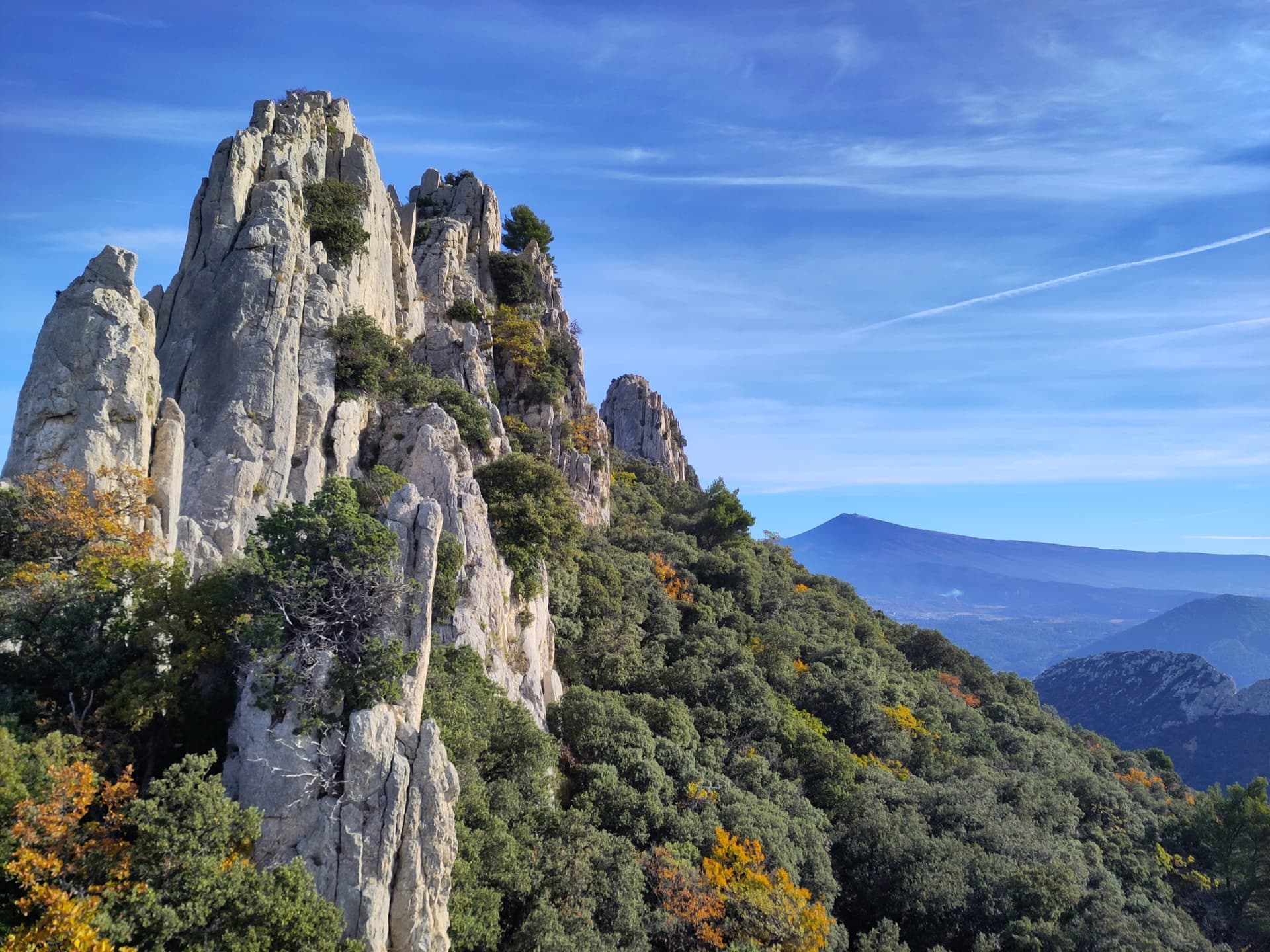
Limestone towers on the Gigondas chain of the Dentelles de Montmirail, photographed during a traverse of the Florets crest, with Mont Ventoux on the horizon.

France · Dentelles de Montmirail

Traversée des Florets

A west-to-east traverse of the six towers of the Florets crest, alternating short pitches with five short abseils and ending on a knife-edge. First climbed in 1928, it is the classic introduction to ridge climbing in Provence. The moves of 5 are short but polished and cannot be avoided, and all the rope work makes it slower than its length suggests.

5b9 pitches120 m
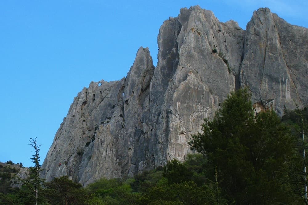
The north face of the Gigondas chain at the Aiguillette Lagarde and Trois Plaques sectors, with a window through the crest visible on the left; Petite Émeline climbs on this side. The line is not marked.

France · Dentelles de Montmirail

Petite Émeline

A short, generously bolted beginner's multipitch on the north face of the Gigondas chain: an easy corner, a fine vertical wall, a rising traverse, and then a squeeze through a natural window in the crest to finish on the sunny south side. Polished from traffic but full of character, and done in an hour or so.

5b4 pitches65 m

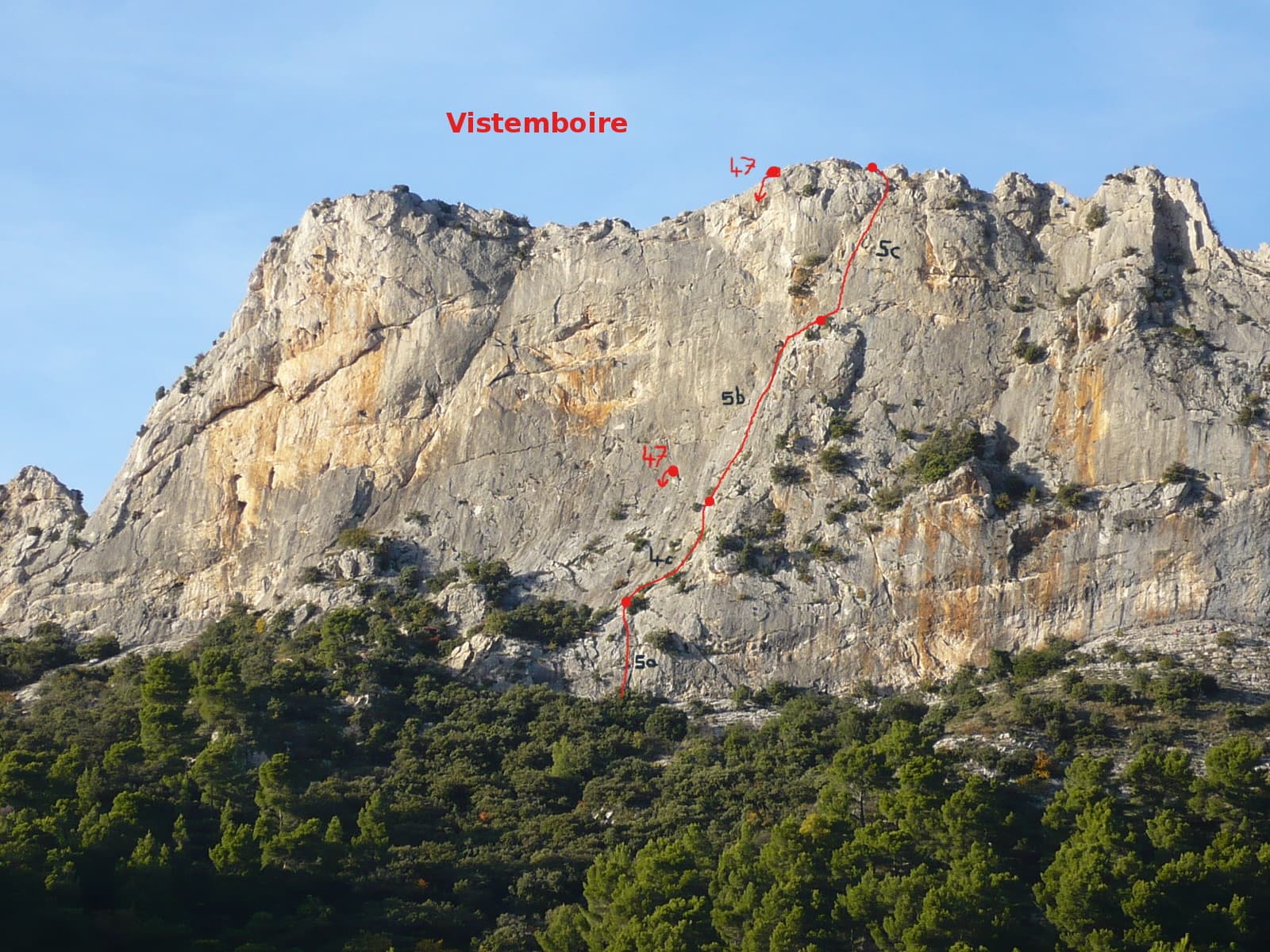
Vistemboir drawn on the south face of the Chaîne du Clapis, with pitch grades and the abseil line

France · Dentelles de Montmirail

Vistemboir

The classic easy multipitch of the Clapis south face, first climbed in 1964 and now fully re-equipped: a slab, an easy rightward ramble, an obvious corner and a superb steep 5c pitch on very grippy rock with a short airy traverse. A 5 m scramble reaches the crest for a view of both sides of the chain and Mont Ventoux.

5c5 pitches90 m

The south face of the Chaîne du Clapis above the Vistemboir sector, photographed from the approach by a party on the Diagonale des Vires Rouges, which slants left across the orange-streaked upper wall. The line is not marked.

France · Dentelles de Montmirail

La Diagonale des Vires Rouges

The best long outing on the Clapis south face: six pitches that start up easy slabs beside Vistemboir and then slant left across the orange ledges of the upper wall, with a horizontal crack traverse, a thin traverse on rough 'pebbledash' rock and a short, fierce 6b to finish. Technical climbing on very sculpted rock with plenty of atmosphere for a 150 m wall.

6b6 pitches150 m

Around 5c · about 11 pitches

Similar elsewhere

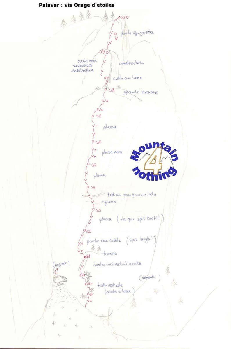
Hand-drawn sketch topo of Orage d'étoiles, Ailefroide

France · Ailefroide

Orage d'étoiles

One of the best-known slab routes at Ailefroide: eleven pitches up the big inclined plane on the foothills of the Pelvoux, directly above the village. The style never changes, slab from bottom to top, mostly 5b with two pitches of 5c. The approach gully, damaged by a rockfall in 2013, is the serious part of the day.

5c11 pitches300 m

Read the cautions

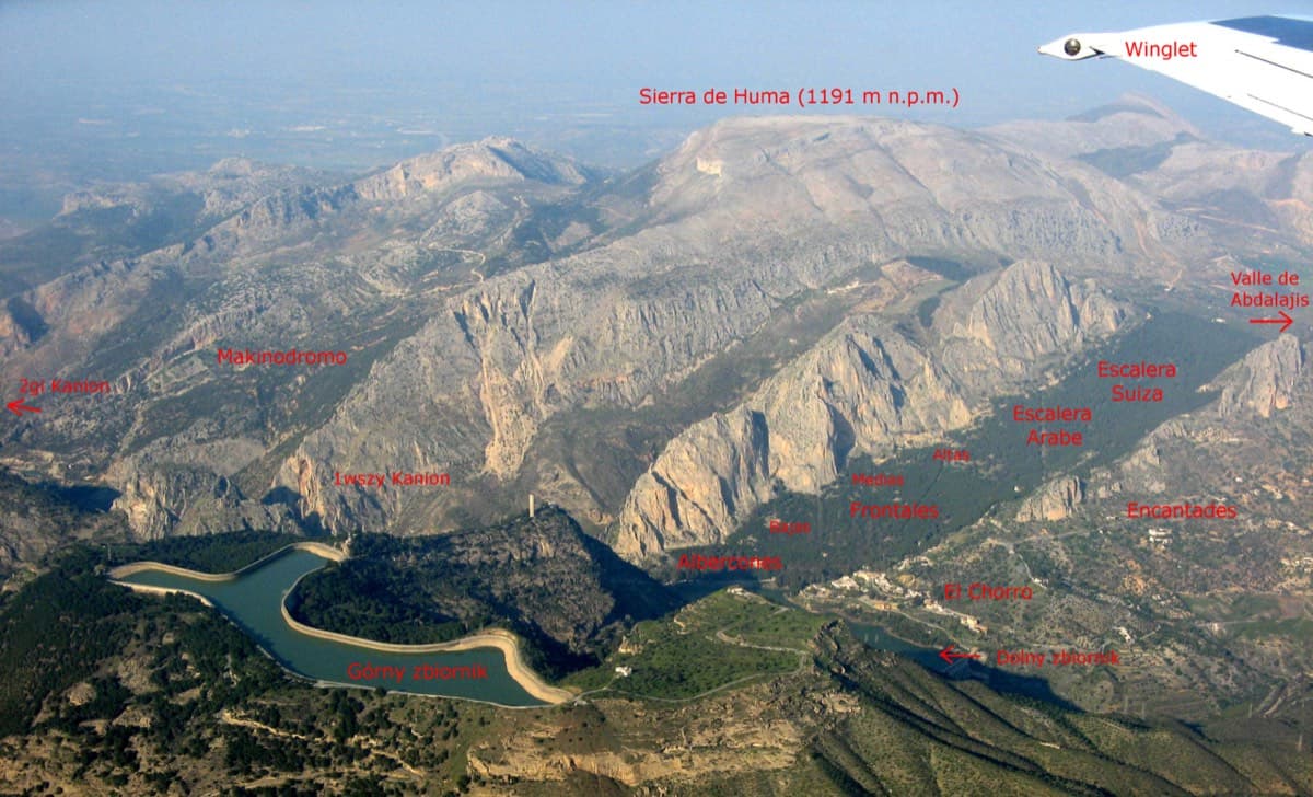
Annotated aerial view of El Chorro showing Frontales, Escalera Árabe and Escalera Suiza (labels in Polish)

Spain · El Chorro

Blue Line

The longest easy line in El Chorro. It starts up a broken corner-ramp, then climbs a steeper wall trending right to the top. It's uncommitting and easy to link pitches, with some loose rock to watch for.

5c12 pitches310 m

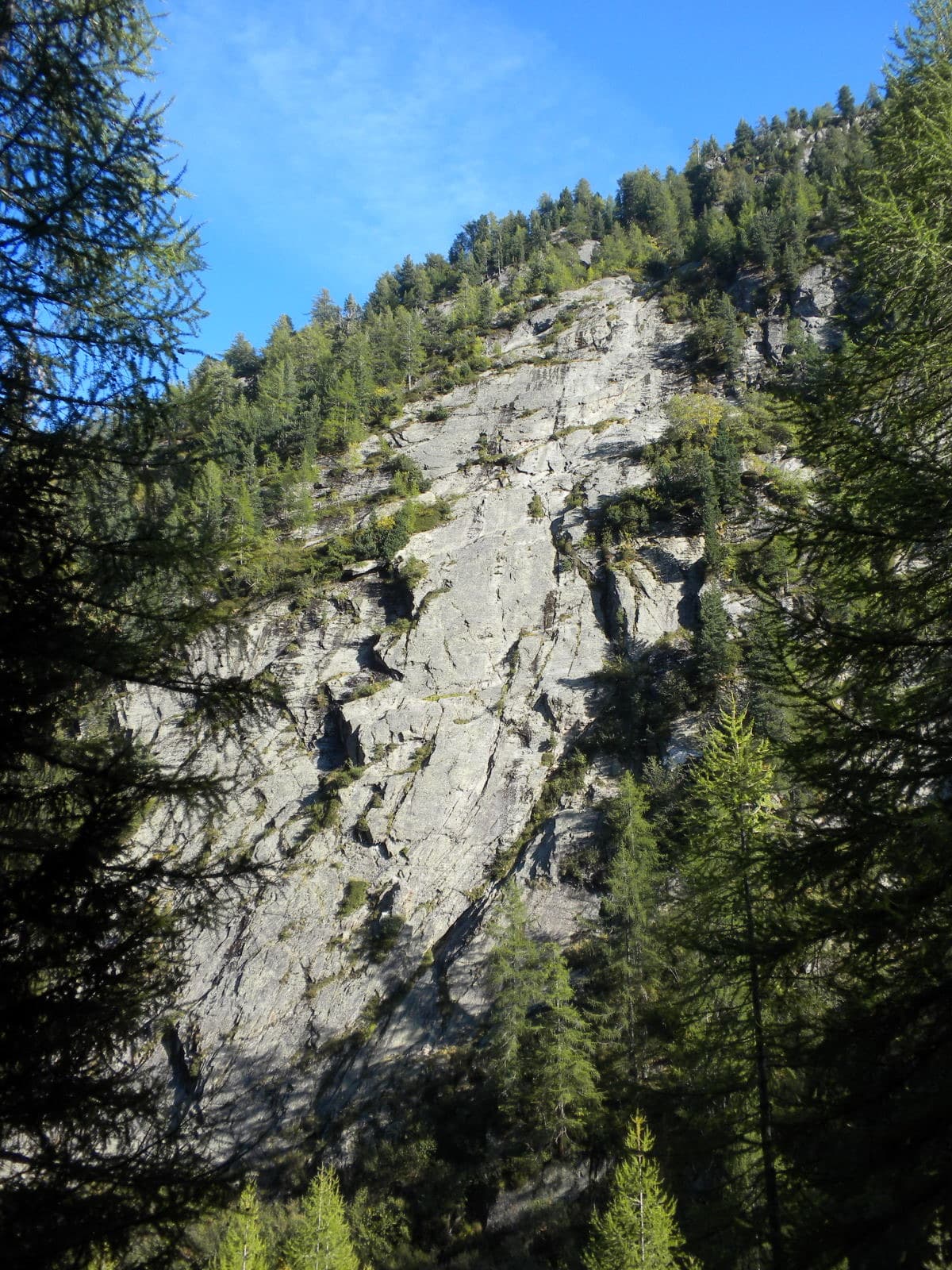
The slab of L'île aux Razmokets in the Vallon de Bérard, seen through the larches from the valley path; the line is not marked.

France · Chamonix valley

L'île aux Razmokets

A long, friendly slab route in the quiet Vallon de Bérard: twelve pitches that follow a chain of cracks and flakes across a compact gneiss slab, with two sustained 5c pitches low down. It stays in the shade until about midday, which makes it a summer route, and it dries slowly. Many parties stop after pitch 7 or 8 and abseil.

5c12 pitches350 m

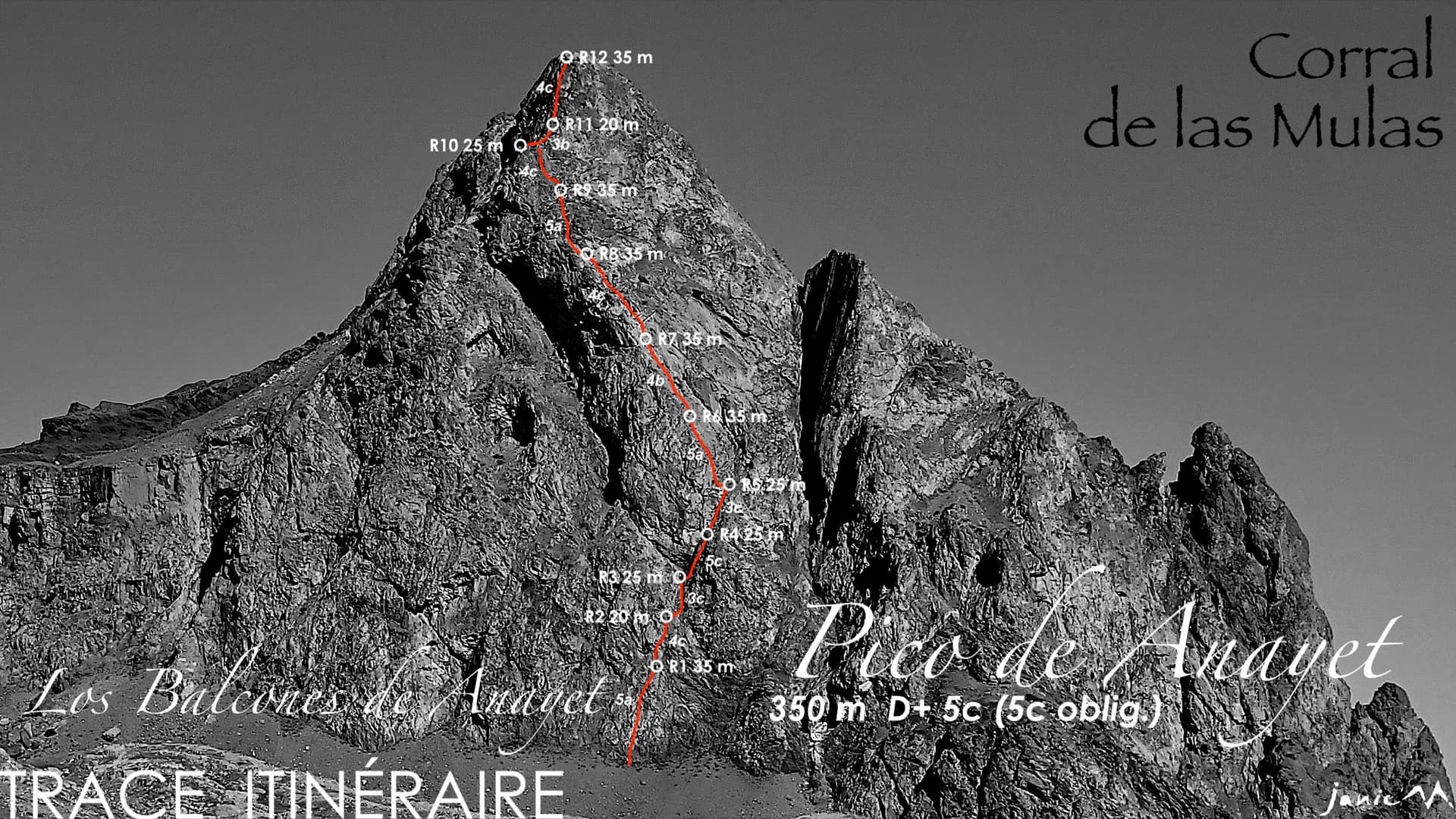
The east face of Pico de Anayet with the line and belays of Los Balcones de Anayet

Spain · Aragonese Pyrenees (Tena & Canfranc valleys)

Los Balcones de Anayet

A long, easy mountain route to a 2545 m summit above the Anayet lakes, on the dark volcanic rock of an old volcanic plug. Mostly 4c to 5a with one fine 5c corner on pitch 4; the lower half has broken rock and grassy channels, the upper 'balconies' are better. The day is long: two hours in, a via ferrata step on the approach and two hours out.

5c12 pitches350 m

Read the cautions

Compiled from published sources and last verified October 2026. Bolts, anchors and access change. Climbing is dangerous and you are responsible for your own decisions: check a current topo and read the disclaimer.