Multipitch Atlas

Petite Émeline

Chaîne de Gigondas – face nord (Brèche de la Pousterle) · Dentelles de Montmirail · France

Bail with caveatsBolting confidence: high

A short, generously bolted beginner's multipitch on the north face of the Gigondas chain: an easy corner, a fine vertical wall, a rising traverse, and then a squeeze through a natural window in the crest to finish on the sunny south side. Polished from traffic but full of character, and done in an hour or so.

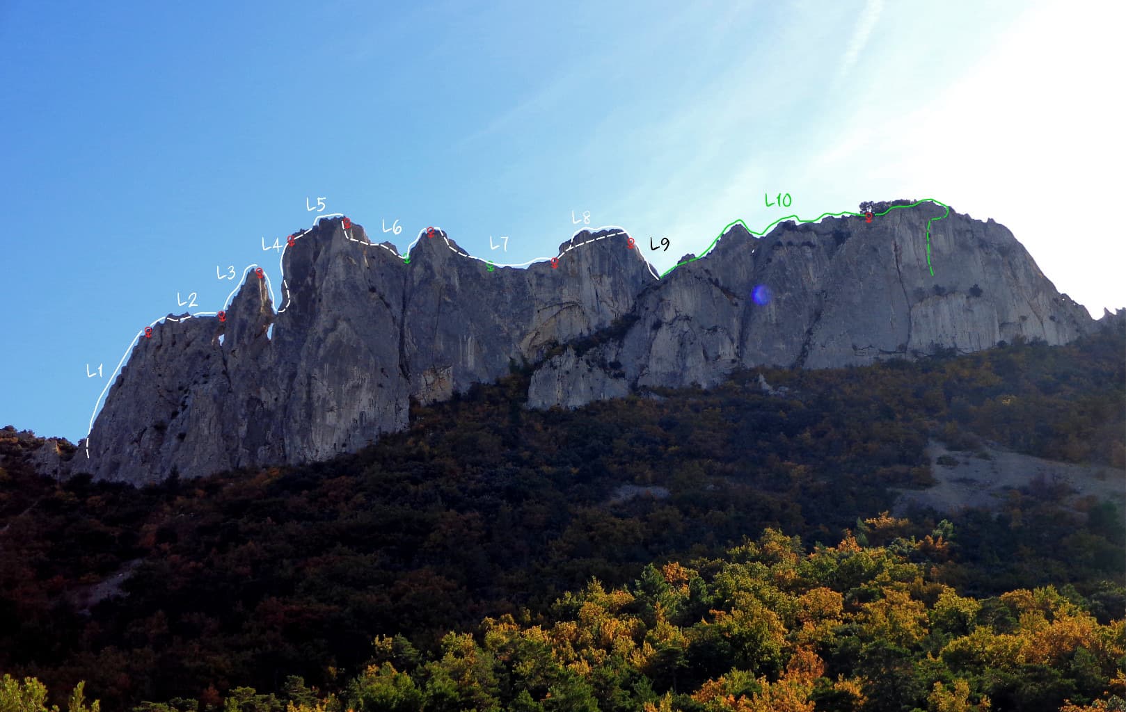
The north face of the Gigondas chain at the Aiguillette Lagarde and Trois Plaques sectors, with a window through the crest visible on the left; Petite Émeline climbs on this side. The line is not marked.Photo: Thomas Ribière · CC BY-SA 3.0

Photo

The north face of the Gigondas chain at the Aiguillette Lagarde and Trois Plaques sectors, with a window through the crest visible on the left; Petite Émeline climbs on this side. The line is not marked.Photo: Thomas Ribière · CC BY-SA 3.0
Hardest pitch
5b
Pitches
4
Length
65 m
Approach
25 min
Aspect
N
North-facing
Rope
1×50 m

The route

Overview

Petite Émeline starts 30 m west of the Brèche de la Pousterle, on the shaded north side of the Gigondas chain near the detached Aiguillette Lagarde. Four short pitches lead up the face to a hole through the fin; you climb through it and finish up two steep little walls on the south side, above the vineyards. Camptocamp rates it highly in spite of its modest grade, and it is listed among the hundred best long routes of Provence. With chained belays on good ledges and bolts close together it is an ideal first multipitch lead. The holds are polished, and the grades are on the generous side.

The climbing

Pitch by pitch

Pitches of Petite Émeline
PitchGradeLengthNotes
P13b20 mAn obvious corner, very easy and attractive. Do not stop at the first belay you meet on the left; continue to the chained belay under a tree.
P25b/c15 mSmall sloping steps, then straight up a fine vertical wall. The hardest moves of the route, and polished. Chained belay on a good platform.
P34c/5a30 mA lovely pitch slanting right, then at an angle in the rock turn left and aim for the window that appears. Two possible belays below the window: two bolts joined by cord, or a bolt and a thread.
P45a20 mClimb through the window, then go east (one stud without its hanger) and up two steep walls on positive holds, with a harder move at the end. Belay on the crest, with a ring for the abseil.

Getting there

Approach

To the parking

Reach Gigondas (30 minutes by on-demand bus from Carpentras, which has the nearest railway station) and follow the signs for the Dentelles de Montmirail to the Domaine des Florets. From 1 May to 30 September the track beyond is closed to motor vehicles at the Florets hotel: park in the large car park opposite and walk up the track to the Col du Cayron, 10 to 15 minutes more. The col can also be reached from Beaumes-de-Venise via Lafare, where the track is closed just after the Domaine de Cassan in the same months. Camptocamp's crag page says the col itself is closed to vehicles.

On foot · about 25 min

From the Col du Cayron follow the path marked with blue dots towards the Brèche (Col) de la Pousterle, then walk west along the north face for 30 m, towards the detached Aiguillette Lagarde, to the name painted in white at the foot (now faded). A 2026 party suggests a shortcut: when the wall comes into view at a walkers' signpost, go straight up to it and you arrive almost at the start. A 2025 party took 25 minutes from the Florets car park to the brèche.

Map of the walk-in

  • Crag

Loading map

The point marks the crag, not the exact start of the route.

Coordinates · crag

44.15556, 5.02417

Point from camptocamp waypoint 43128 (Chaîne de Gigondas)

For your phone or watch

Download GPX

Contains the route point. Opens in most mapping apps and GPS watches.

Points are compiled from published sources, with the precision stated above. They were not surveyed on the ground: check them against a current topo.

Getting down

Descent

From the ring at the top abseil 25 m down the south face; half of a 50 m rope is plenty according to a 2026 party. At the foot you meet the blue-dotted path. Follow it east, back through the Brèche de la Pousterle, and down to the Col du Cayron.

Retreat

Bailing off the route

Bail with caveats

No source describes a retreat, but the first two belays are chained on good ledges and the pitches are 15 to 20 m, so abseiling from them on a 50 m rope is simple. From the belay below the window the pitch beneath is up to 30 m and slants, so it is easier to finish: one 5a pitch and the 25 m abseil down the south side.

Retreat from
The first and second belays.
Point of no return
The belay below the window, after the slanting third pitch (inferred).
Carry
The 50 m climbing rope; a maillon if you retreat from the cord-linked belay.
Basis
Inferred from the route factsCamptocamp states the belay types and maximum pitch lengths; the retreat itself is inferred from them.

Partly inferred from the route facts

Safety

Hazards

  • Polished rock, most noticeable on the crux wall of pitch 2 and at the end of pitch 4.
  • Loose stones on the ledges (April 2026 report, after a recent clean-up).
  • One bolt stud without a hanger on pitch 4.
  • A very popular route with courses and beginners; other parties abseil onto the path on the south side.
  • Summer fire-risk closures of the massif, and the seasonal closure of the access track.

Sun and weather

Conditions

North facing, on a chain that tops out at 627 m. It is the place to go when the south faces are too hot: an April 2026 party chose it for that reason. The start is in the shade and the last pitch and the abseil are in the sun. The crest is exposed to the mistral. Between 15 June and 15 September the Vaucluse massifs can be closed by prefectoral order on days of high fire risk; the decision is published after 18:00 for the next day and there is a fine for being on a closed massif.

Usual season · Apr to Jun, Sep to Oct

Sun on the wall · N-facing

Working out the sunlit hours for this month.

  • January: not yet worked out
  • February: not yet worked out
  • March: not yet worked out
  • April (usual season): not yet worked out
  • May (usual season): not yet worked out
  • June (usual season): not yet worked out
  • July: not yet worked out
  • August: not yet worked out
  • September (usual season): not yet worked out
  • October (usual season): not yet worked out
  • November: not yet worked out
  • December: not yet worked out

Sun on the wallDaylight, wall in shade● Usual season

Estimated from the wall's aspect only. Ignores surrounding terrain, gullies and the wall's exact shape. Clock times are local to the wall (Central European time), for the 15th of each month.

Climate figures for Dentelles de Montmirail are not available yet

What to carry

Gear

A 50 m single rope covers the pitches and the 25 m abseil. No source gives a number of quickdraws; the longest pitch is 30 m and the bolts are close. A sling or cord for the belay below the window. Helmet: parties report stones lying on the ledges.

Checklist

Quickdraws
Number not given in the sources
Rope
1×50 m
Helmet
One each
Abseil device and prusik
The descent or the retreat involves abseiling
Maillons or spare karabiners
To leave behind if you retreat
Cord
Mentioned for retreat

Derived from the route data; check it against a current topo

From climbers

Reader reports

Reader reports are not being collected yet. Until they are, check a current topo and the local club or guidebook publisher for recent changes to Petite Émeline.

Worth knowing

Tips

  • Parties report 1 to 1.5 hours on the route.
  • It combines well with Régina on the same wall, or with the traverse of the Crête du Turc, which starts at the same brèche.
  • Gigondas, Vacqueyras and Beaumes-de-Venise are wine villages; camptocamp asks climbers to support local businesses.

Open questions

Where sources disagree

  • Grade: camptocamp's header gives 5b (D-) while its pitch table gives 5b/c for the second pitch; the summary adds that the route is worth no more than AD because the bolts are so close, and a 2025 party found the grades generous. The card uses 5b.
  • Pitch lengths on camptocamp are given as maxima (20, 15, 30 and 20 m), which add up to more than the 65 m height.
  • The approach time is taken from a 2025 report for the neighbouring Crête du Turc traverse, which starts at the same brèche; camptocamp gives none for this route.
  • Only camptocamp gives a detailed description; no second independent topo was found online.

Provenance

Sources

Same area

More in Dentelles de Montmirail

All routes in Dentelles de Montmirail
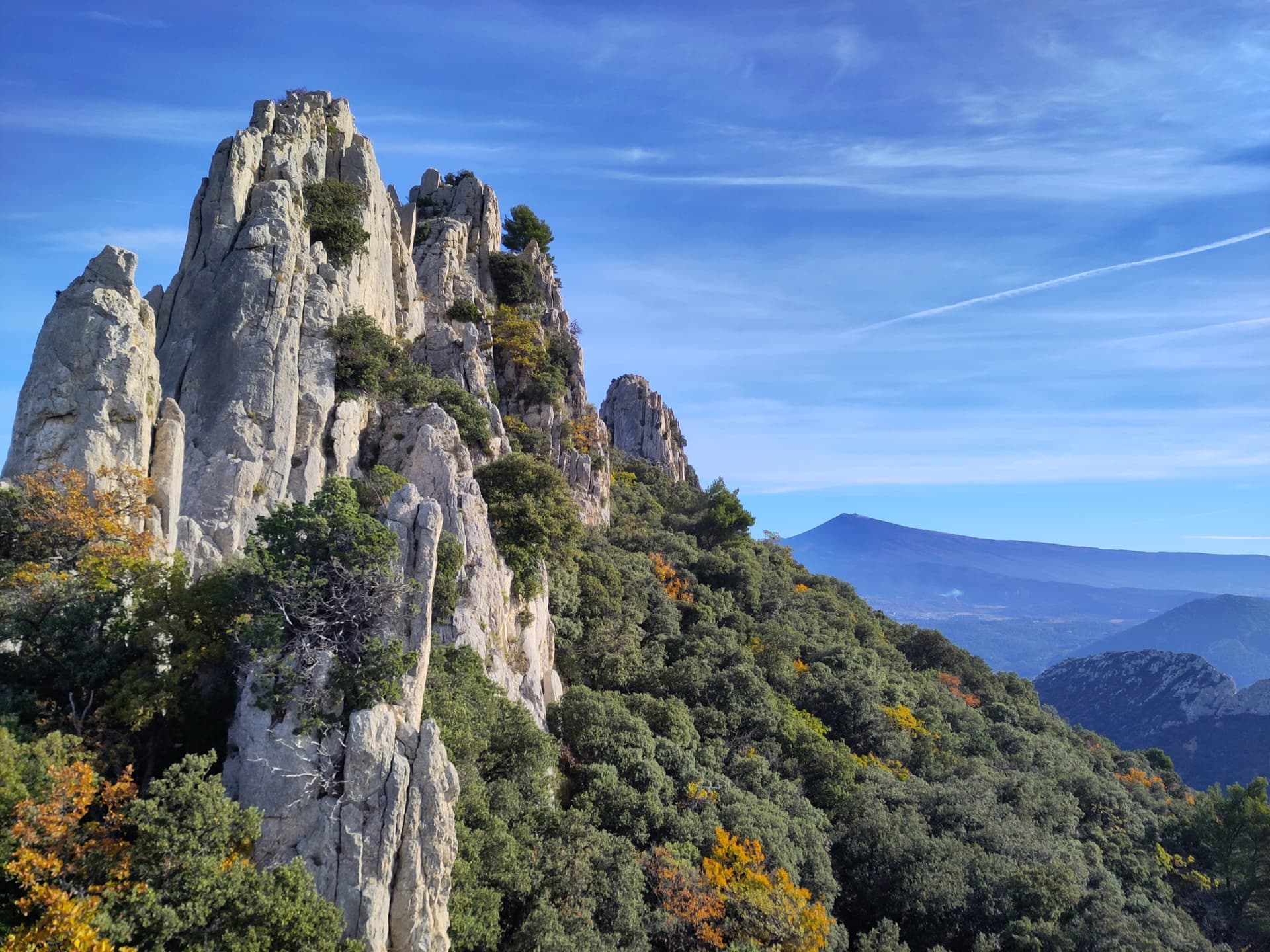
Limestone towers on the Gigondas chain of the Dentelles de Montmirail, photographed during a traverse of the Florets crest, with Mont Ventoux on the horizon.

France · Dentelles de Montmirail

Traversée des Florets

A west-to-east traverse of the six towers of the Florets crest, alternating short pitches with five short abseils and ending on a knife-edge. First climbed in 1928, it is the classic introduction to ridge climbing in Provence. The moves of 5 are short but polished and cannot be avoided, and all the rope work makes it slower than its length suggests.

5b9 pitches120 m
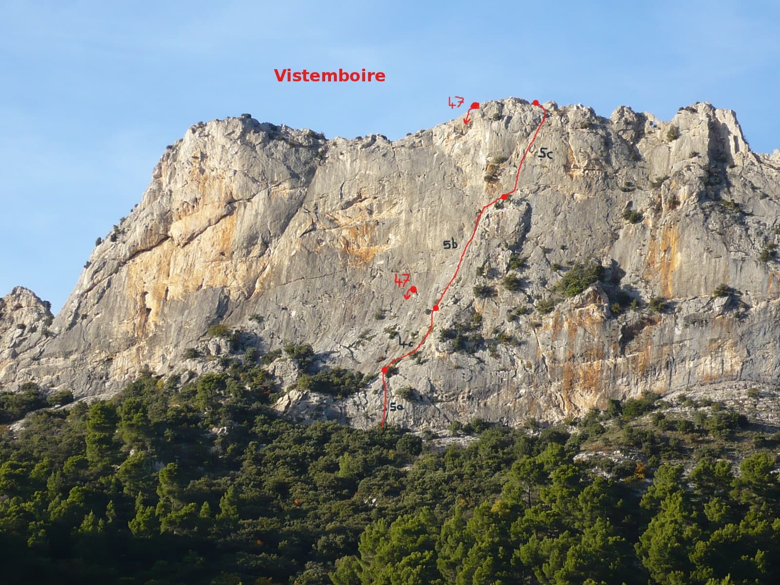
Vistemboir drawn on the south face of the Chaîne du Clapis, with pitch grades and the abseil line

France · Dentelles de Montmirail

Vistemboir

The classic easy multipitch of the Clapis south face, first climbed in 1964 and now fully re-equipped: a slab, an easy rightward ramble, an obvious corner and a superb steep 5c pitch on very grippy rock with a short airy traverse. A 5 m scramble reaches the crest for a view of both sides of the chain and Mont Ventoux.

5c5 pitches90 m

The crest of the Turc on the Gigondas chain with the pitches of the east-to-west traverse numbered, from the Brèche de la Pousterle on the left to the Roc du Turc on the right

France · Dentelles de Montmirail

Traversée de la Crête du Turc

A ridge traverse along the knife-edge crest of the highest of the Dentelles, from the Brèche de la Pousterle to the Roc du Turc (627 m): a bolted arête, a pillar, an abseil onto a rock arch above a hole, a steep 5c or 6a pitch and a crest 50 cm wide in places. Lots of rope work and a lot of air for the grade, with escapes on both sides.

5c11 pitches90 m

Read the cautions

The south face of the Chaîne du Clapis above the Vistemboir sector, photographed from the approach by a party on the Diagonale des Vires Rouges, which slants left across the orange-streaked upper wall. The line is not marked.

France · Dentelles de Montmirail

La Diagonale des Vires Rouges

The best long outing on the Clapis south face: six pitches that start up easy slabs beside Vistemboir and then slant left across the orange ledges of the upper wall, with a horizontal crack traverse, a thin traverse on rough 'pebbledash' rock and a short, fierce 6b to finish. Technical climbing on very sculpted rock with plenty of atmosphere for a 150 m wall.

6b6 pitches150 m

Around 5b · about 4 pitches

Similar elsewhere

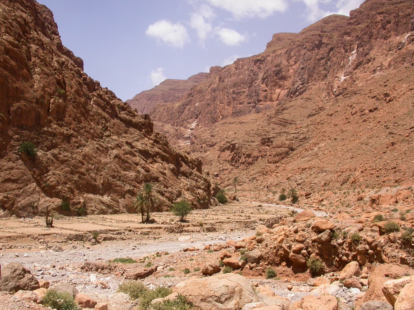
Palms and garden terraces on the riverbed just upstream of the Todra narrows, the setting of the Jardin d'été sector.

Morocco · Todra Gorge (Todgha)

Tik Sab

Four pitches of even 5b, five minutes from the road. In the sun all afternoon. A good short first multipitch of a trip.

5b4 pitches125 m

Rujičin kuk, Dabarski kukovi

Croatia · Dabarski kukovi (Velebit)

Velebit Express

The easiest bolted line on the face, up flakes, cracks and water grooves in a wild karst setting. It dries fastest after rain. Pitch grades are from the Čujić topo; camptocamp's ascensionists felt 5b/5c/5b/5b.

5b4 pitches140 m

Read the cautions

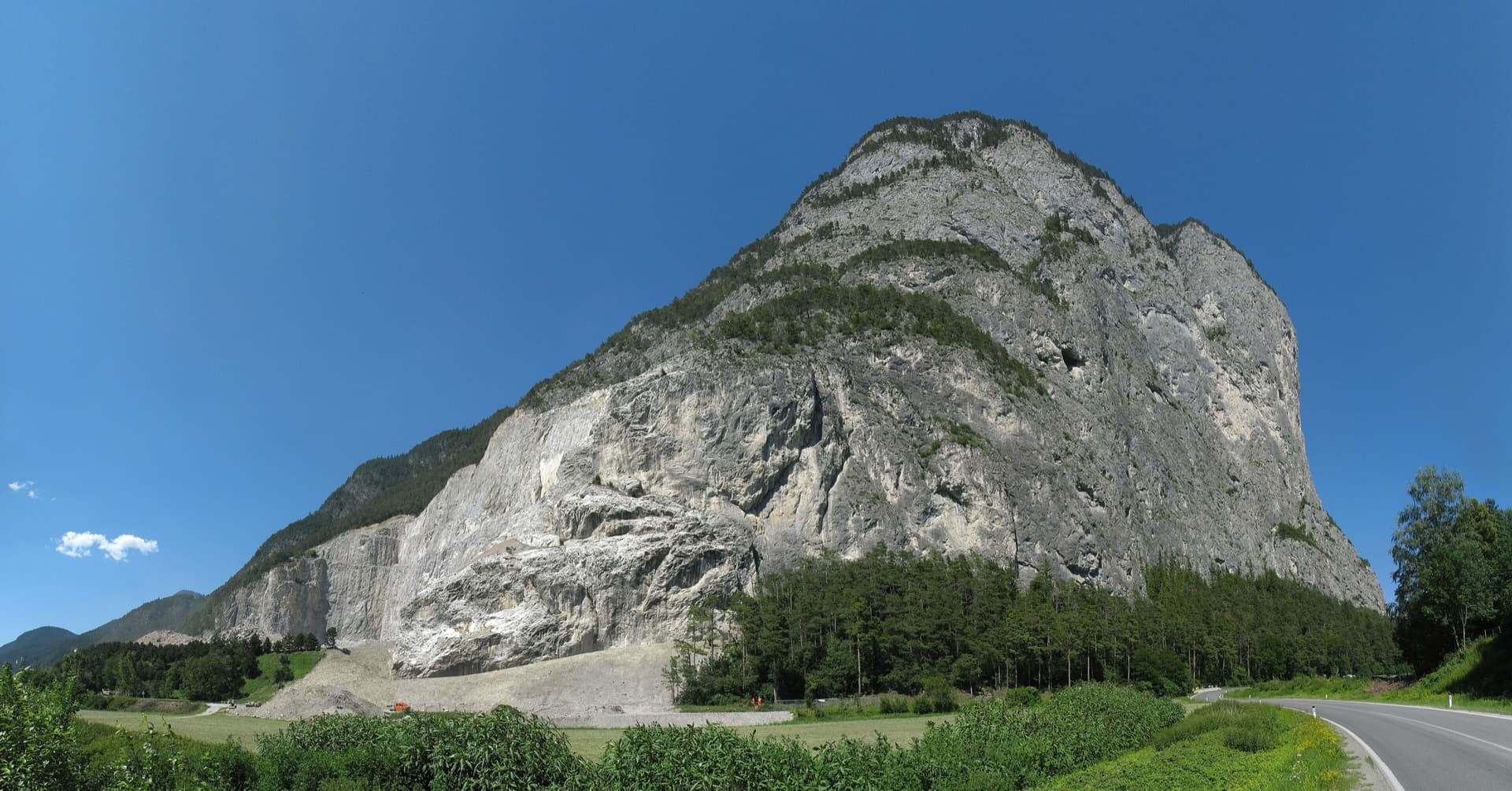
The Martinswand above the Inn valley near Zirl, seen from the south-west. The Vorbau routes climb the slabby plinth at the right-hand (eastern) end of the wall; the line is not marked.

Austria · Karwendel (Innsbruck Nordkette)

Flotter Dreier

One of the most popular routes on the Martinswand plinth: five short pitches of limestone slab that get better with height. The crux is a traverse right on pitch 3, hard from the first move, followed by a friction slab on pitch 4.

5b5 pitches135 m

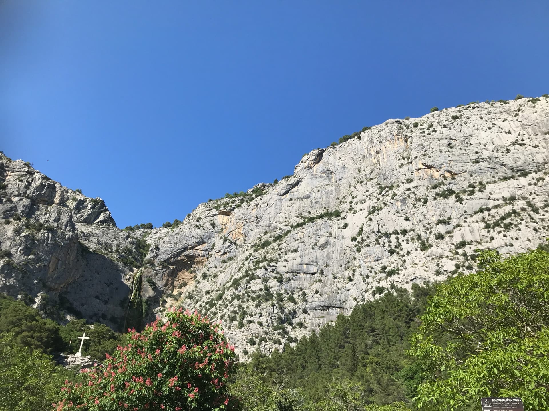
The Ilinac cliffs above Zakučac, seen from the car park; Warthogrock climbs a small tower below the main face and is not marked.

Croatia · Omiš

Warthogrock

An easy, friendly route up a small tower and the ribs above it, on rock covered in knobs and warts. It is one of the very few bolted multipitch routes at this grade around Omiš and was put up with beginners in mind. The second belay touches the path, so you can walk off half-way.

5b+4 pitches130 m

Compiled from published sources and last verified October 2026. Bolts, anchors and access change. Climbing is dangerous and you are responsible for your own decisions: check a current topo and read the disclaimer.